The best walks and hikes around Campiña Alta
4.3
(456)
2,179
hikers
86
hikes
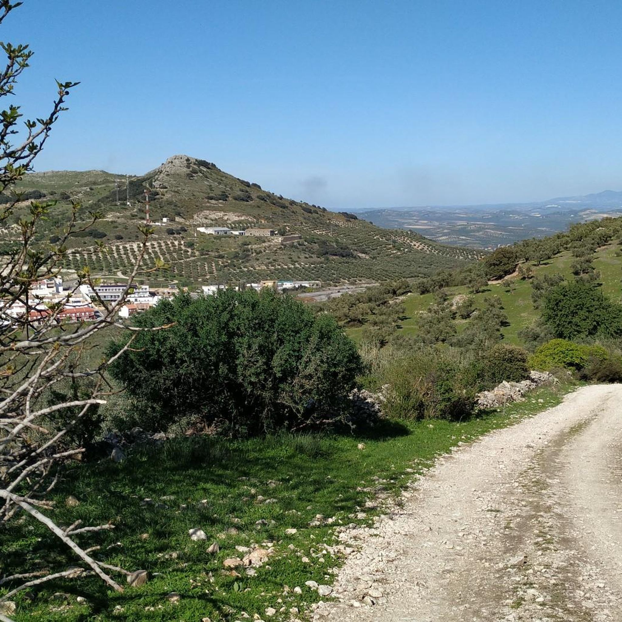
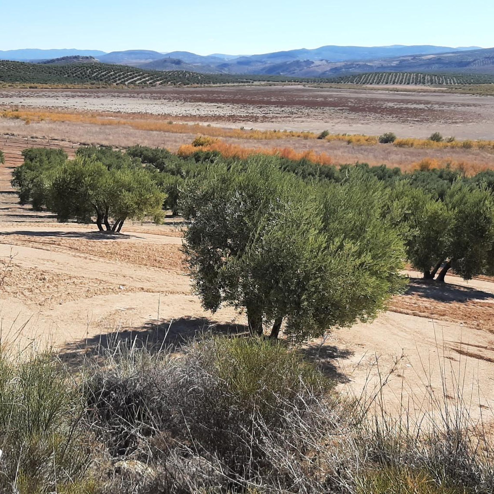
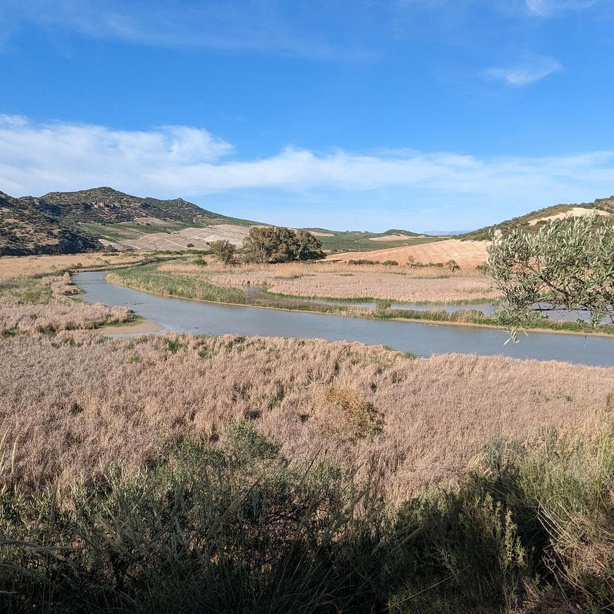
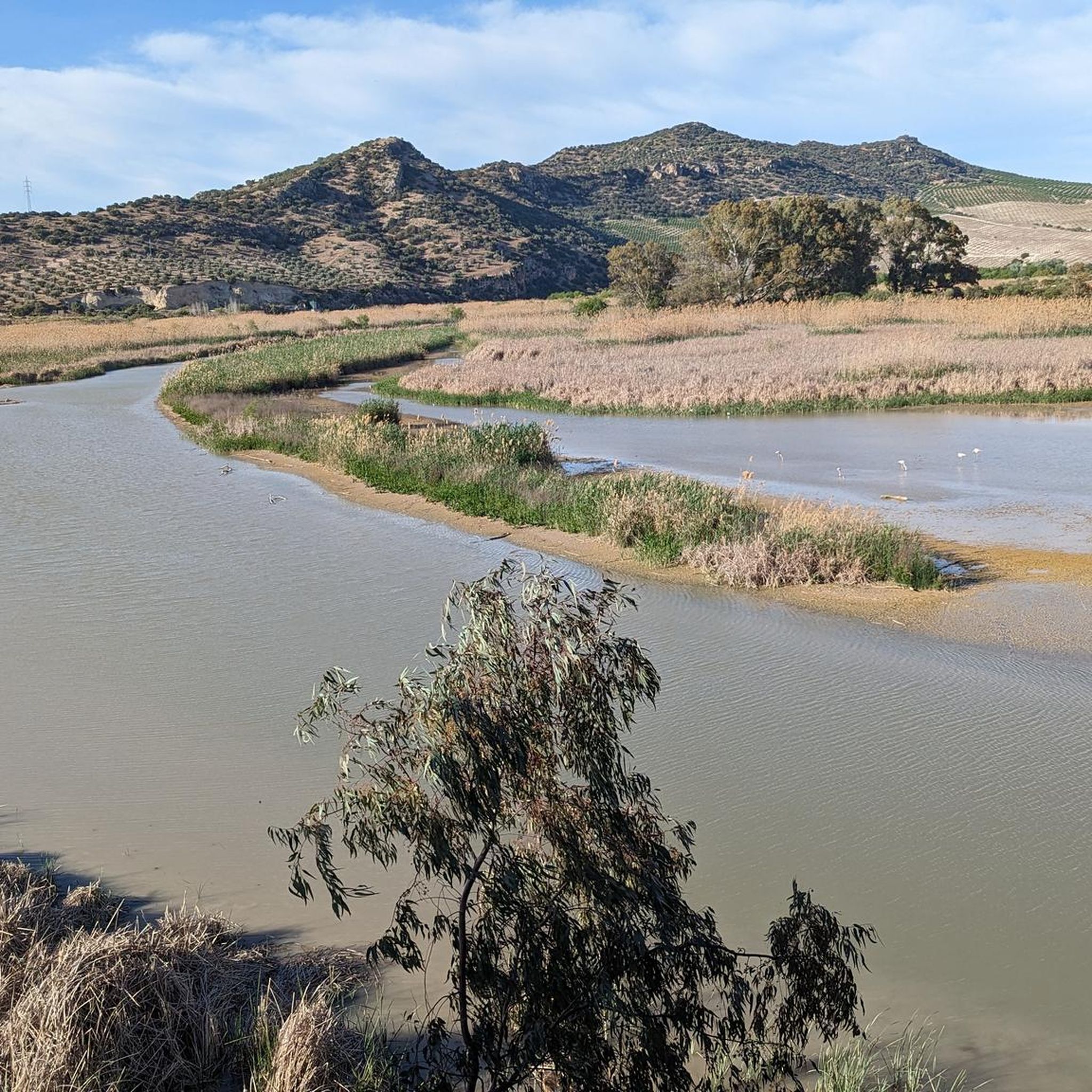
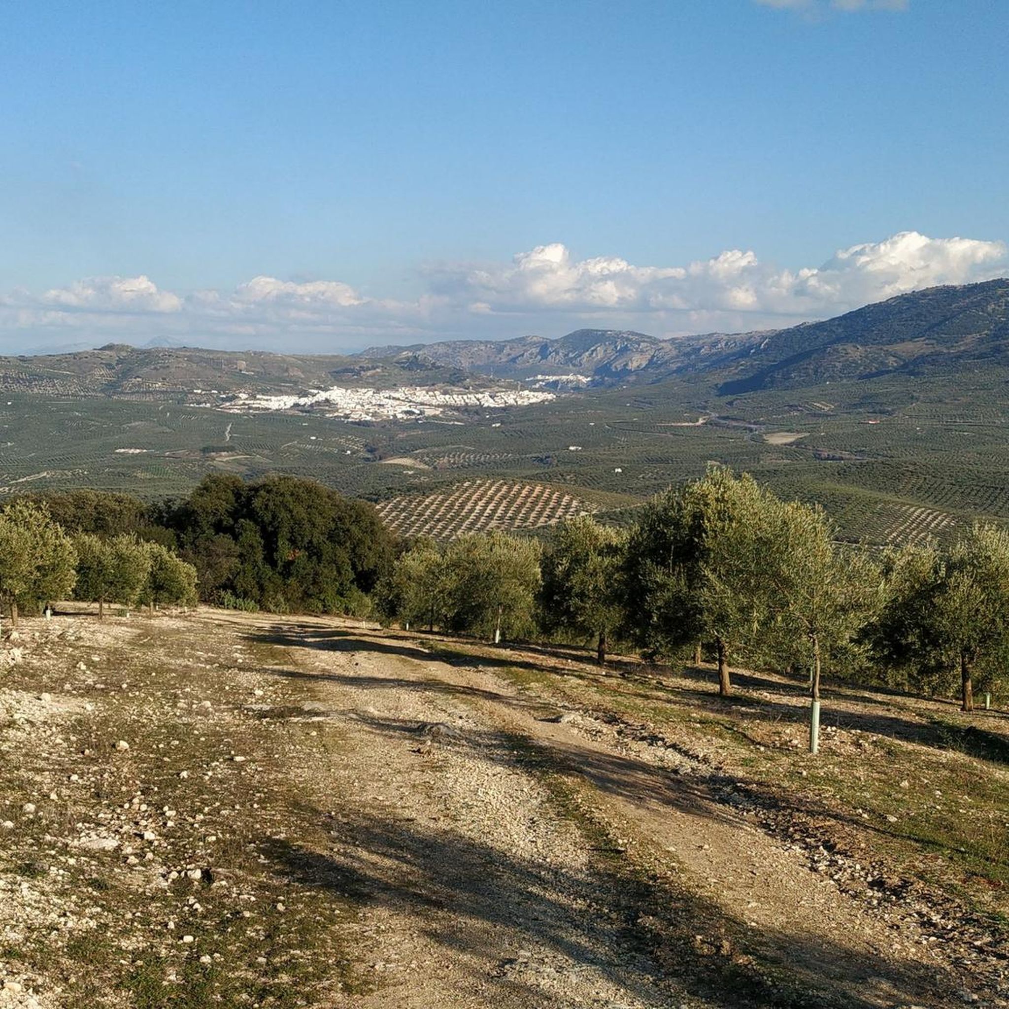
Hiking around Campiña Alta, located in Andalucía, Spain, offers diverse terrain characterized by rolling hills and extensive olive groves. This region acts as a transition zone between the plains of Cádiz, Seville, and Cordoba, and the Subbetic mountain ranges. Elevations generally range from 300 to 1000 meters, providing varied landscapes for outdoor activities. Natural features include riverine wetlands and the Alto Guadalquivir Natural Park.
Best hiking trails around Campiña Alta
- The most popular hiking route is Mirador de la Cabrera…
Last updated: July 7, 2026
4.5
(2)
21
hikers
3.66km
01:20
230m
230m
Easy hike. Great for any fitness level. Easily-accessible paths. Suitable for all skill levels.
5.0
(1)
5
hikers
8.71km
02:18
80m
80m
Moderate hike. Good fitness required. Easily-accessible paths. Suitable for all skill levels.

Sign up for free
4.0
(1)
2
hikers
8.31km
02:21
180m
180m
Moderate hike. Good fitness required. Mostly accessible paths. Sure-footedness required.
18.4km
05:08
350m
350m
Hard hike. Very good fitness required. Easily-accessible paths. Suitable for all skill levels.
Easy hike. Great for any fitness level. Easily-accessible paths. Suitable for all skill levels.
4.1
(10)
69
hikers
Moderate hike. Good fitness required. Easily-accessible paths. Suitable for all skill levels.
3.8
(6)
18
hikers
8.95km
02:31
180m
180m
Moderate hike. Good fitness required. Easily-accessible paths. Suitable for all skill levels.
4.5
(2)
28
hikers
12.3km
04:13
680m
680m
Moderate hike. Good fitness required. Easily-accessible paths. Suitable for all skill levels.
4.8
(4)
16
hikers
13.0km
03:45
330m
330m
Moderate hike. Good fitness required. Easily-accessible paths. Suitable for all skill levels.
4.7
(3)
19
hikers
16.5km
05:21
730m
730m
Hard hike. Very good fitness required. Easily-accessible paths. Suitable for all skill levels.
Get access to more routes and recommendations from other explorers.
Sign up for free
Already have an account?
Our route recommendations are based on thousands of hikes, rides, and runs completed by other people on komoot.
Start today with a free account
Your next adventure awaits.
Login or Signup
Popular around Campiña Alta
Other adventures around Campiña Alta


Tips from the Community

Beautiful climb to the top of the hermitage of the Virgen de la Sierra. From this religious environment we can observe the entire immensity of the Subbética, it is worth the climb to enjoy the exceptional views
1
0


The visitor center has exhibits on the Geopark's geology and fauna and flora.
0
0

One of two trails that begin at the Santa Rita interpretation center. The botanical trail is easier, perfect for a family walk. The slope is low, the walk is very pleasant, among the thick vegetation of the area, and you can enjoy impressive specimens of gall oak. If you decide to only do the botanical trail, the route will be 2.5 km long.
2
0
A very charming place that allows you to enjoy the walk in tranquility and solitude, since it is not usually very crowded. The climb to the viewpoint is quite uneven, so if you want something quieter or you go with children, I recommend walking alone the botanical trail, which also begins in the Santa Rita parking lot. But if you feel like going up to the viewpoint, you will not be disappointed - the views of the Sierra Subbética are worth the effort, from this highest point of the Sierra de la Cabrera (1085 m) you can enjoy views of the most emblematic places of the natural park, such as the Lapiaz de los Lanchares, the Picacho de la Sierra de Cabra, the Cerro del Lobatejo, the “Buitreras” and the Sierra de Alcaide.
2
0

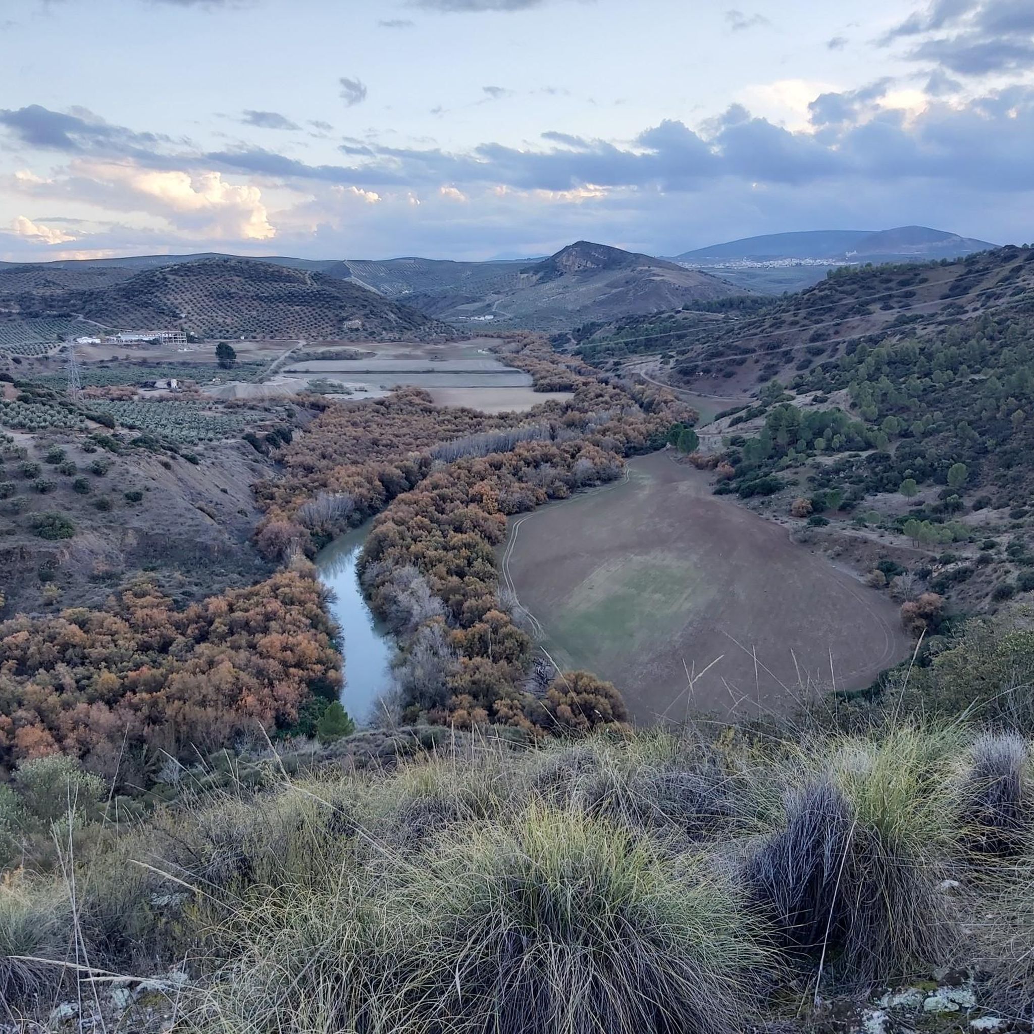
Beautiful valley through which the Río Genil runs and which offers a wide view of this area that is above the arrival of the reservoir.
0
0
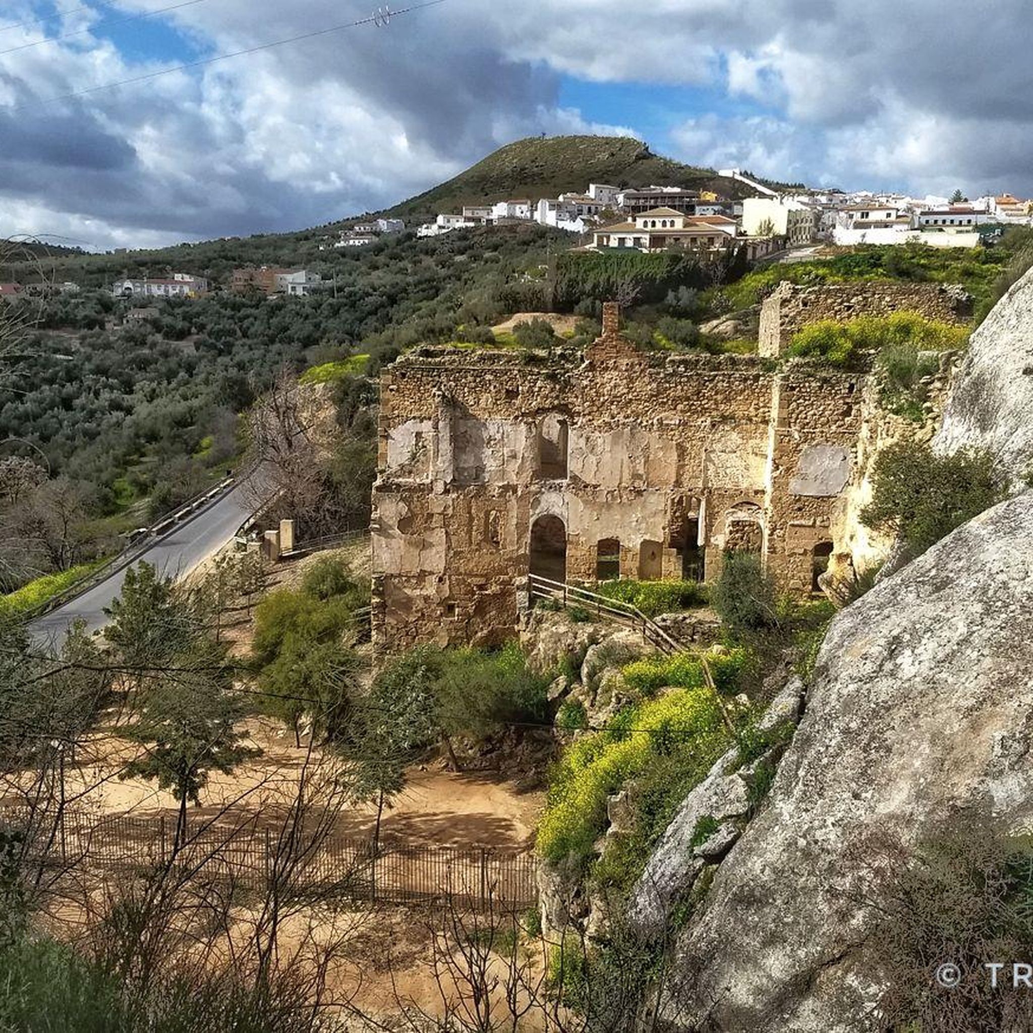
Hermitage that still contains the style of a Mozarabic-style cave church in which the amplitude of its façade stands out, making it one of the few monuments of these characteristics in Andalusia.
0
0
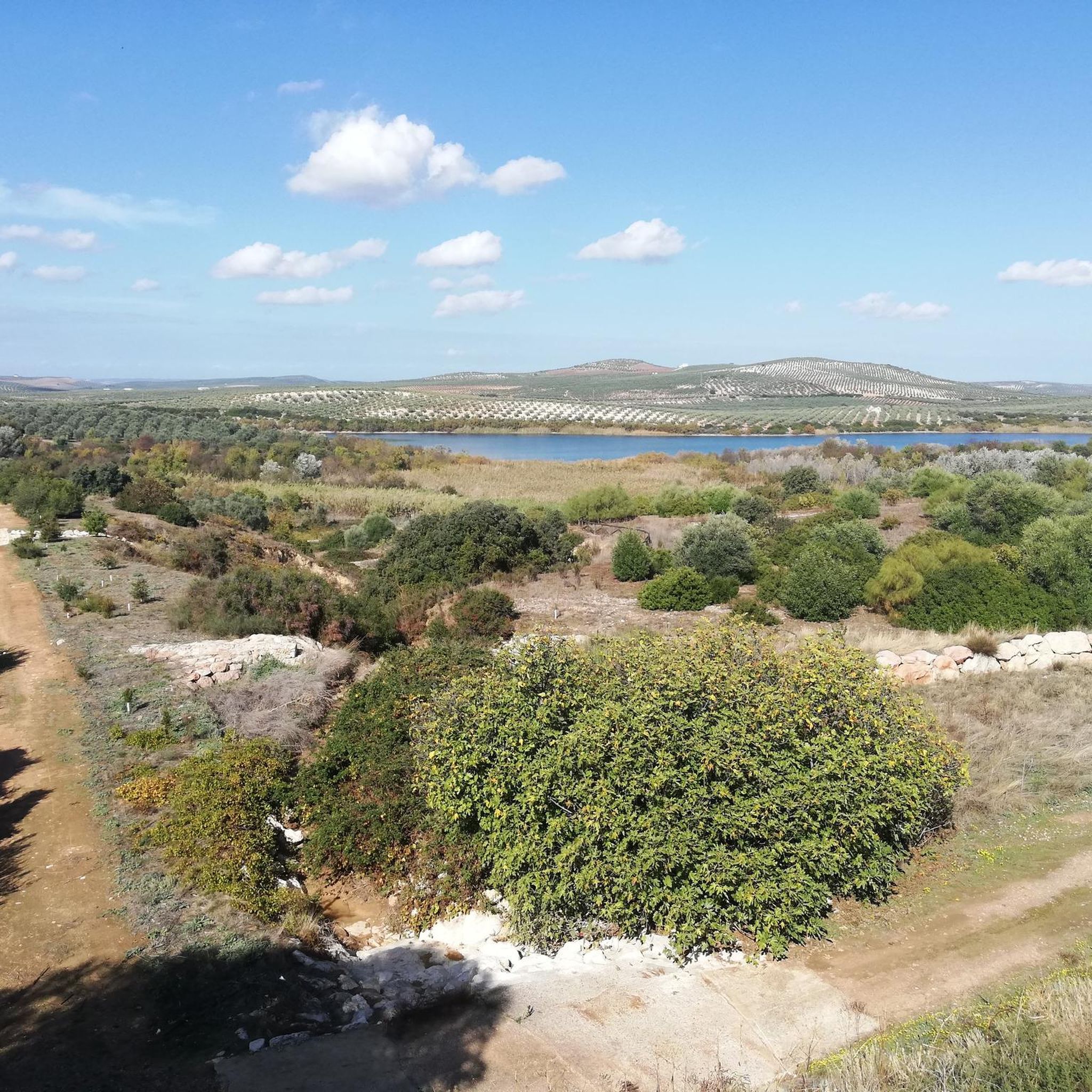
Beautiful views of the Malpasillo Reservoir and you can also see the continuity of the Río Genil!
0
0
Frequently Asked Questions
What kind of terrain can I expect when hiking in Campiña Alta?
Hiking in Campiña Alta, Andalucía, means traversing a landscape characterized by rolling hills and extensive olive groves. This region serves as a transition zone between the plains of Cádiz, Seville, and Cordoba, and the Subbetic mountain ranges. Elevations typically range from 300 to 1000 meters, offering varied scenery from gentle slopes to more challenging ascents in the foothills.
Are there many easy hiking trails suitable for beginners or casual walkers?
Yes, Campiña Alta offers a good selection of easy trails. There are 41 easy routes available. A great option is Mirador de la Cabrera y el Sendero Botánico — circular desde el Centro de visitantes Santa Rita, a 3.7 km (2.3 miles) circular path that includes a botanical trail and a viewpoint, typically taking about 1 hour 20 minutes.
Can I find circular hiking routes in Campiña Alta?
Absolutely. Many trails in Campiña Alta are designed as circular routes, allowing you to start and end at the same point. For example, the moderate Laguna de Zóñar – circular is a 8.7 km (5.4 miles) loop offering beautiful views of the wetland environment. Another option is Caños de Benamejí - circular by the Camping Trail, a moderate 8.3 km (5.2 miles) route.
What are some notable natural features or landmarks to see on a hike?
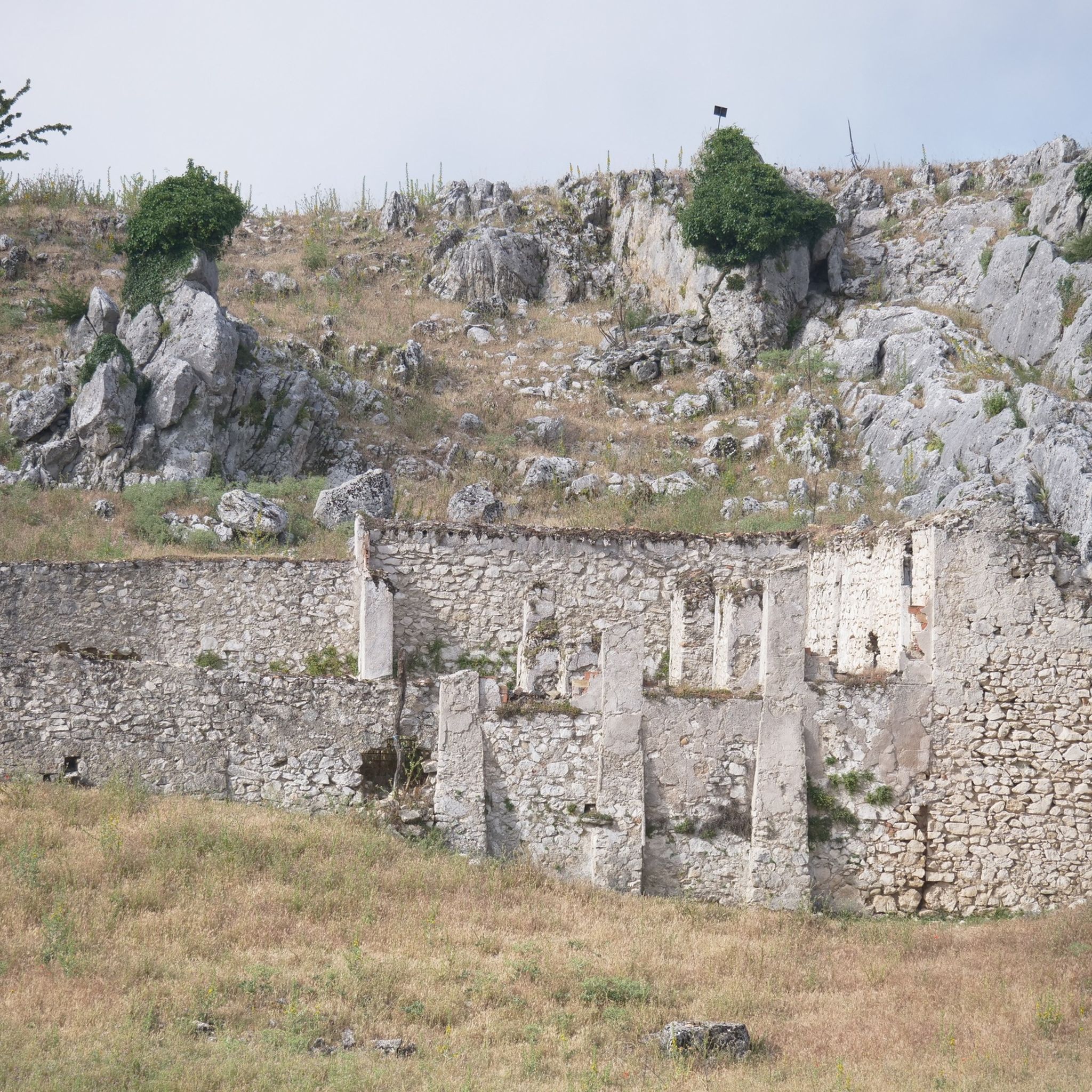
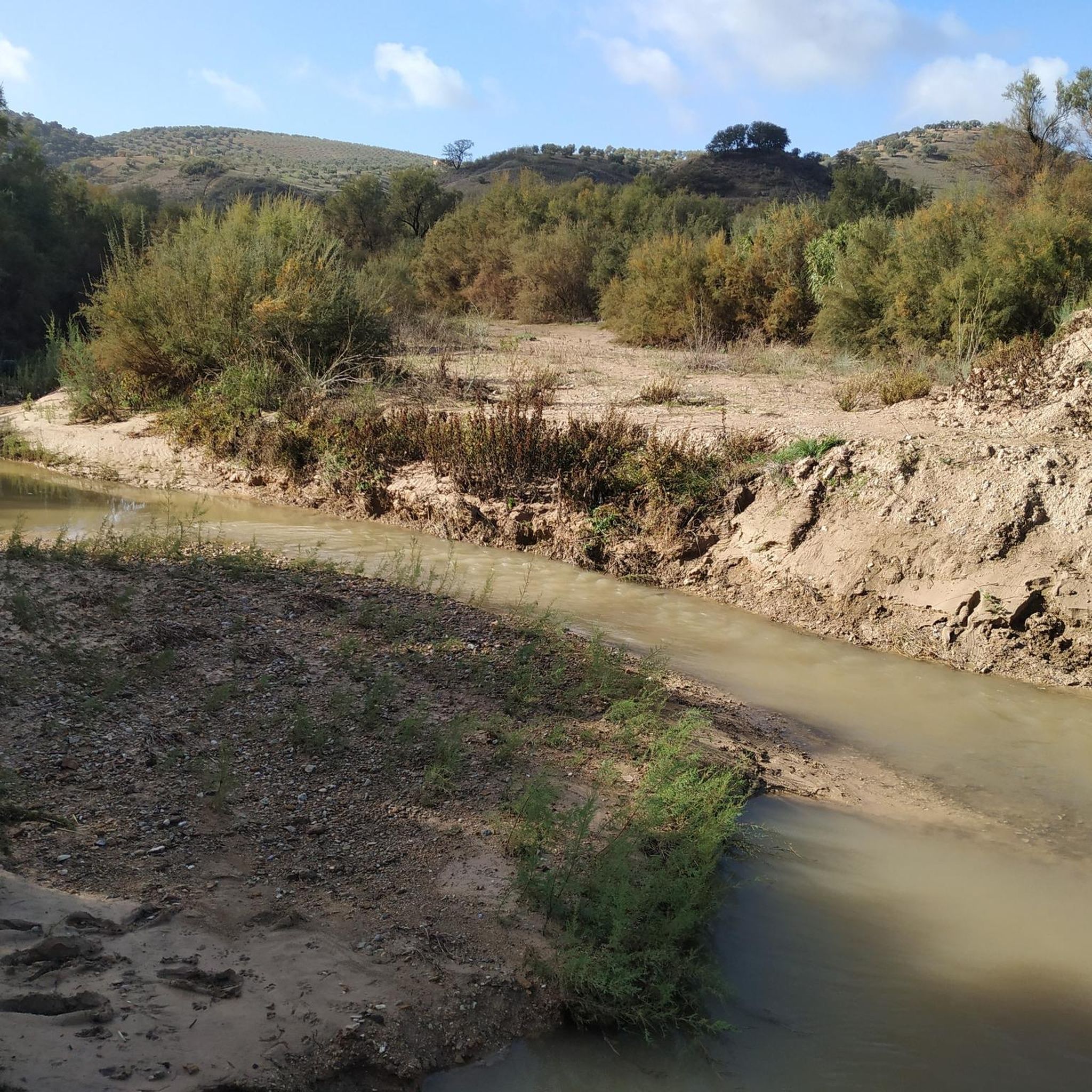
Campiña Alta is rich in natural beauty and interesting landmarks. You can explore the Poljé of the Nava de Cabra, a unique geological formation, or visit the tranquil Fuente del Río. The Genil River Meander also offers picturesque riverine scenery. For a historical touch, consider the Roman Quarry.
Are there any challenging hikes for experienced trekkers?
Yes, for those seeking a more strenuous experience, Campiña Alta offers 5 difficult routes. A challenging option is Camino de Góngora – Picacho de Cabra Viewpoint loop from Cabra, a 16.4 km (10.2 miles) trail with significant elevation gain, typically completed in about 5 hours 20 minutes. Another demanding route is Baena and Cueva del Yeso, spanning over 18 km (11.4 miles).
What is the best time of year to go hiking in Campiña Alta?
The best time to hike in Campiña Alta is generally during the spring (March to May) and autumn (September to November) months. During these periods, the weather is milder and more comfortable for outdoor activities, avoiding the intense heat of summer and potential chill of winter. Spring also brings vibrant wildflowers to the landscape.
Are there any family-friendly hiking options in the region?
Many of the easier trails in Campiña Alta are suitable for families. The Mirador de la Cabrera y el Sendero Botánico is an excellent choice, being short and featuring an engaging botanical trail. The generally gentle, rolling terrain of the Campiña Alta makes it accessible for various age groups, especially on less strenuous paths.
What do other hikers say about the trails in Campiña Alta?
The routes in Campiña Alta are highly regarded by the komoot community, holding an average rating of 4.5 stars from over 100 reviews. Hikers frequently praise the diverse landscapes, from the extensive olive groves to the scenic wetlands, and appreciate the variety of trails suitable for different fitness levels.
Are there any trails that offer views of the Alto Guadalquivir Natural Park?
Yes, the Alto Guadalquivir Natural Park, known for its reservoirs and wetlands, is a significant natural feature of the region. While specific routes directly within the park are not detailed here, trails like the Laguna de Zóñar – circular offer direct views and experiences of the area's crucial wetland environments, which are part of this broader ecological system.
How many hiking trails are available in Campiña Alta?
There are nearly 100 hiking trails recorded in Campiña Alta on komoot, providing a wide range of options for all levels of hikers, from easy strolls to more challenging ascents.
Are there any trails that follow old railway lines or greenways?
Yes, the region features converted railway lines that are popular for hiking and cycling. You can explore sections of the Vía Verde del Aceite or the Jauja – Subbética Greenway Natural Trail, which offer relatively flat and accessible paths through scenic countryside.
What is the typical elevation gain on trails in Campiña Alta?
Elevation gain varies significantly across Campiña Alta's diverse terrain. Easy trails like Path of the Arroyo de las Cañas might have around 85-90 meters of ascent. Moderate routes, such as Roman Quarry – Fuente de Jarcas loop from Cabra, can involve around 330 meters of climbing. For difficult trails like Camino de Góngora – Picacho de Cabra Viewpoint loop, you can expect over 700 meters of elevation gain.
Most popular routes around Campiña Alta
Most popular attractions around Campiña Alta

Get inspired with the komoot mobile app


Didn’t find what you were looking for?
Check out more Hikes throughout Campiña Alta below and find the perfect route in your destination.
Explore more
Browse the best Hikes in other regions.
