The best walks and hikes around El Valle de Cofrentes-Ayora
4.5
(322)
1,915
hikers
73
hikes
Hiking around El Valle de Cofrentes-Ayora offers diverse terrain shaped by mountains, valleys, and significant river systems like the Júcar and Cabriel. The region features dramatic canyons, extensive pine forests, and unique volcanic landscapes, including the ancient Cerro Agrás. Elevated areas such as Pico de Caroche provide panoramic views, while the rivers have carved impressive gorges. This varied topography creates a range of hiking opportunities for different skill levels.
Best hiking trails around El Valle de Cofrentes-Ayora
- The most popular…
Last updated: October 10, 2026
4.7
(18)
84
hikers
9.84km
03:10
320m
320m
Moderate hike. Good fitness required. Mostly accessible paths. Sure-footedness required.
4.8
(10)
43
hikers
13.3km
03:57
370m
370m
Moderate hike. Good fitness required. Easily-accessible paths. Suitable for all skill levels.

5.0
(9)
32
hikers
10.7km
02:52
120m
120m
Hike the moderate 6.7-mile El Campichuelo Trail in Valle de Cofrentes-Ayora, enjoying views of Cofrentes Castle and the Cabriel River.
5.0
(8)
32
hikers
Moderate hike. Good fitness required. Easily-accessible paths. Suitable for all skill levels.
4.9
(9)
42
hikers
9.33km
03:03
390m
390m
Moderate hike. Good fitness required. Easily-accessible paths. Suitable for all skill levels.
4.3
(7)
32
hikers
12.8km
03:48
390m
390m
Hike the moderate 7.9-mile Hoz de Zarra Trail, gaining 1277 feet in elevation through varied terrain and an enchanted forest.
4.0
(4)
23
hikers
6.86km
01:48
60m
60m
Easy hike. Great for any fitness level. Easily-accessible paths. Suitable for all skill levels.
4.8
(6)
14
hikers
9.42km
02:34
210m
210m
Hike the moderate 5.9-mile (9.4 km) Route Peñas de Sala circular from Teresa de Cofrentes, featuring impressive views and pine forests.
4.5
(2)
10
hikers
18.1km
05:40
680m
680m
Hard hike. Very good fitness required. Easily-accessible paths. Suitable for all skill levels.
4.7
(3)
7
hikers
7.16km
02:11
170m
180m
Moderate hike. Good fitness required. Mostly accessible paths. Sure-footedness required.
Get access to more routes and recommendations from other explorers.
Already have an account?
Our route recommendations are based on thousands of hikes, rides, and runs completed by other people on komoot.
Start today with a free account
Your next adventure awaits.
Popular around El Valle de Cofrentes-Ayora
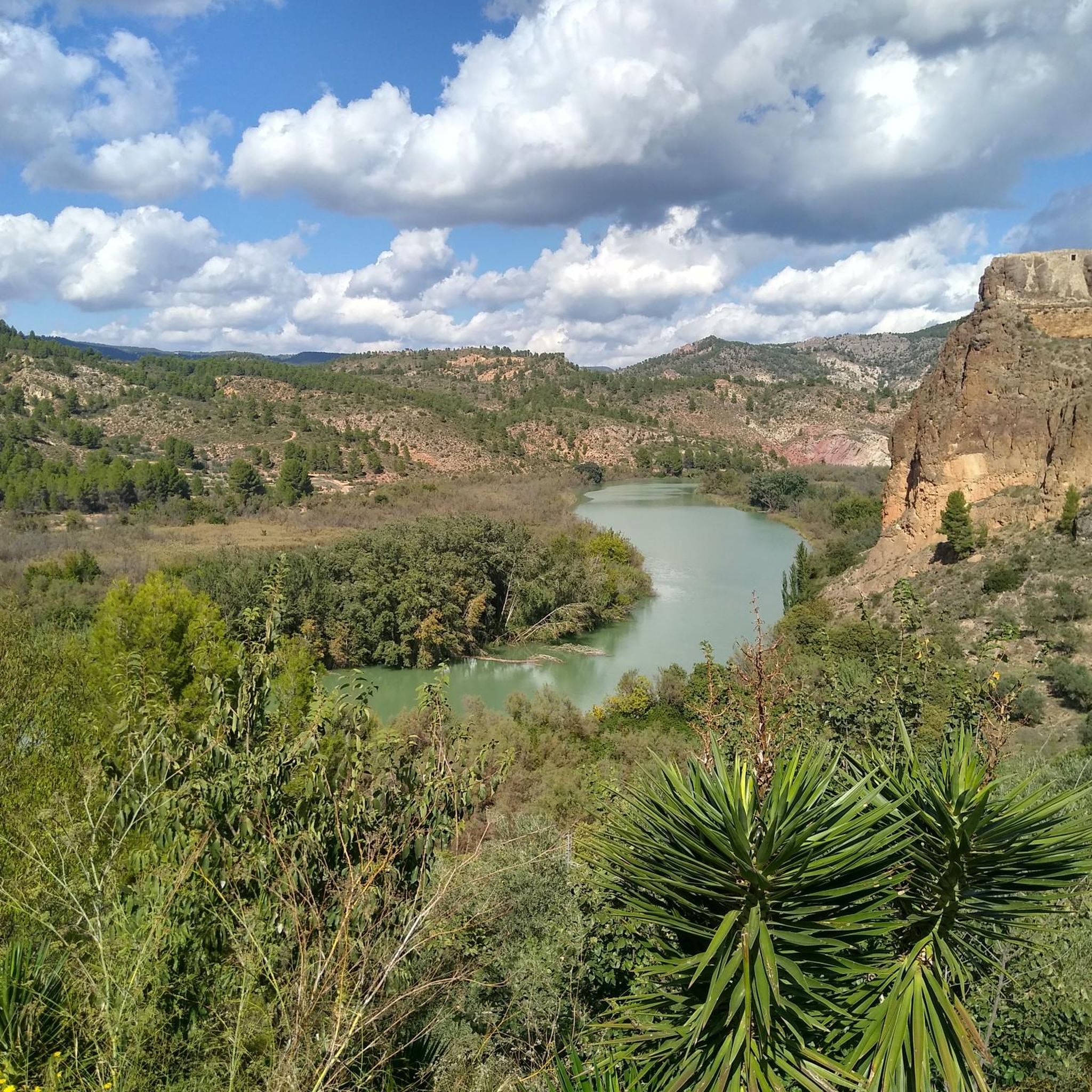
Hiking around Cofrentes
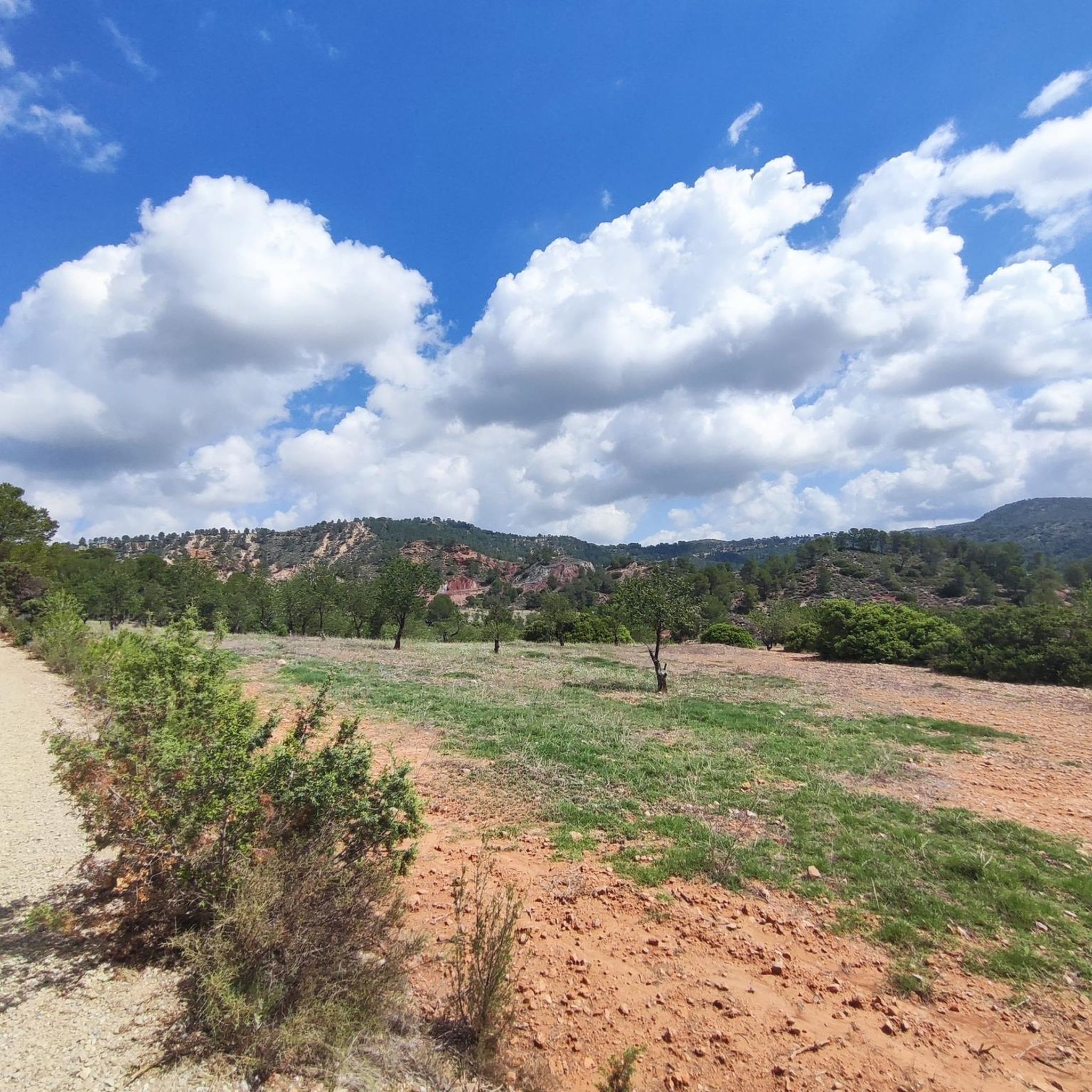
Hiking in Embalse De Embarcaderos
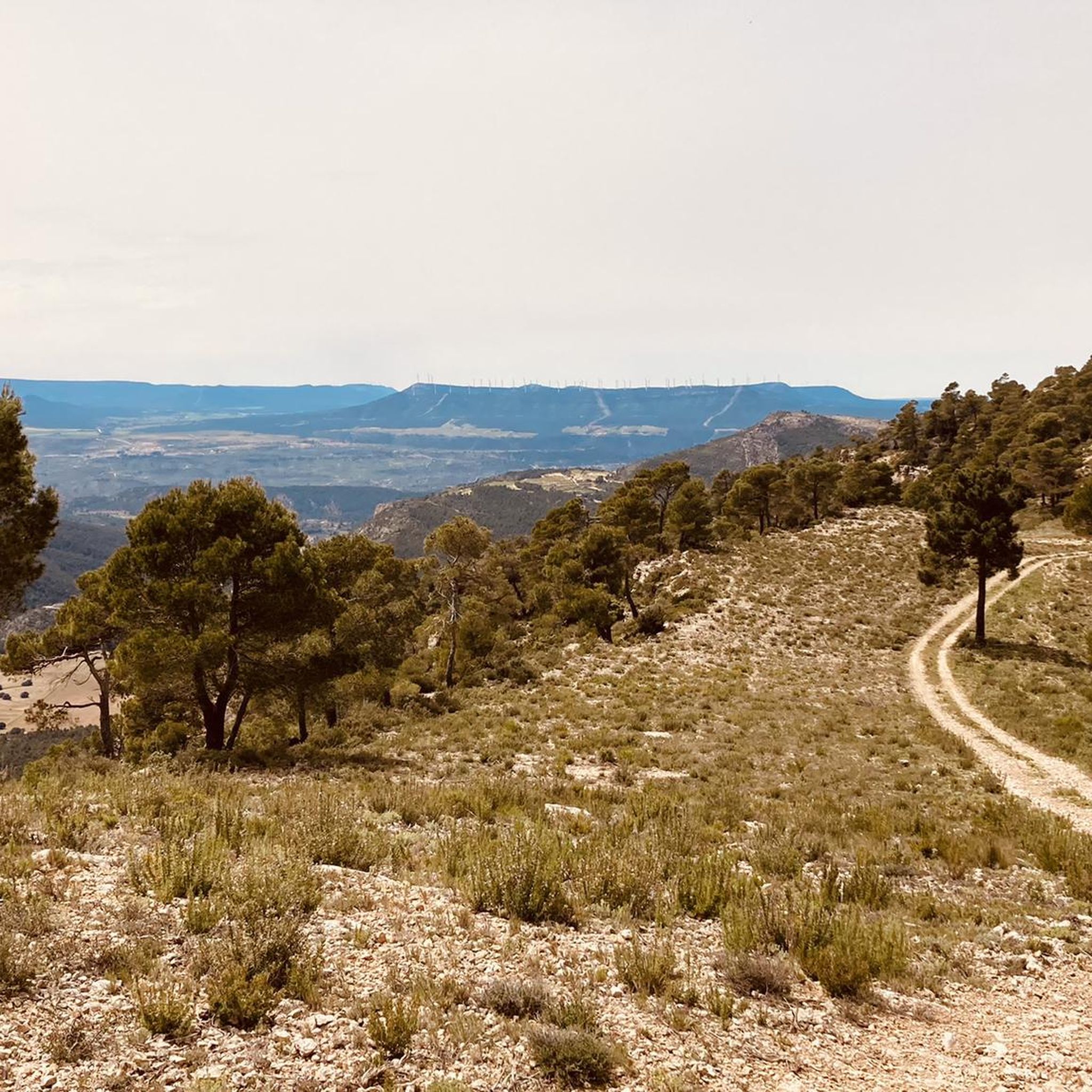
Hiking around Teresa De Cofrentes
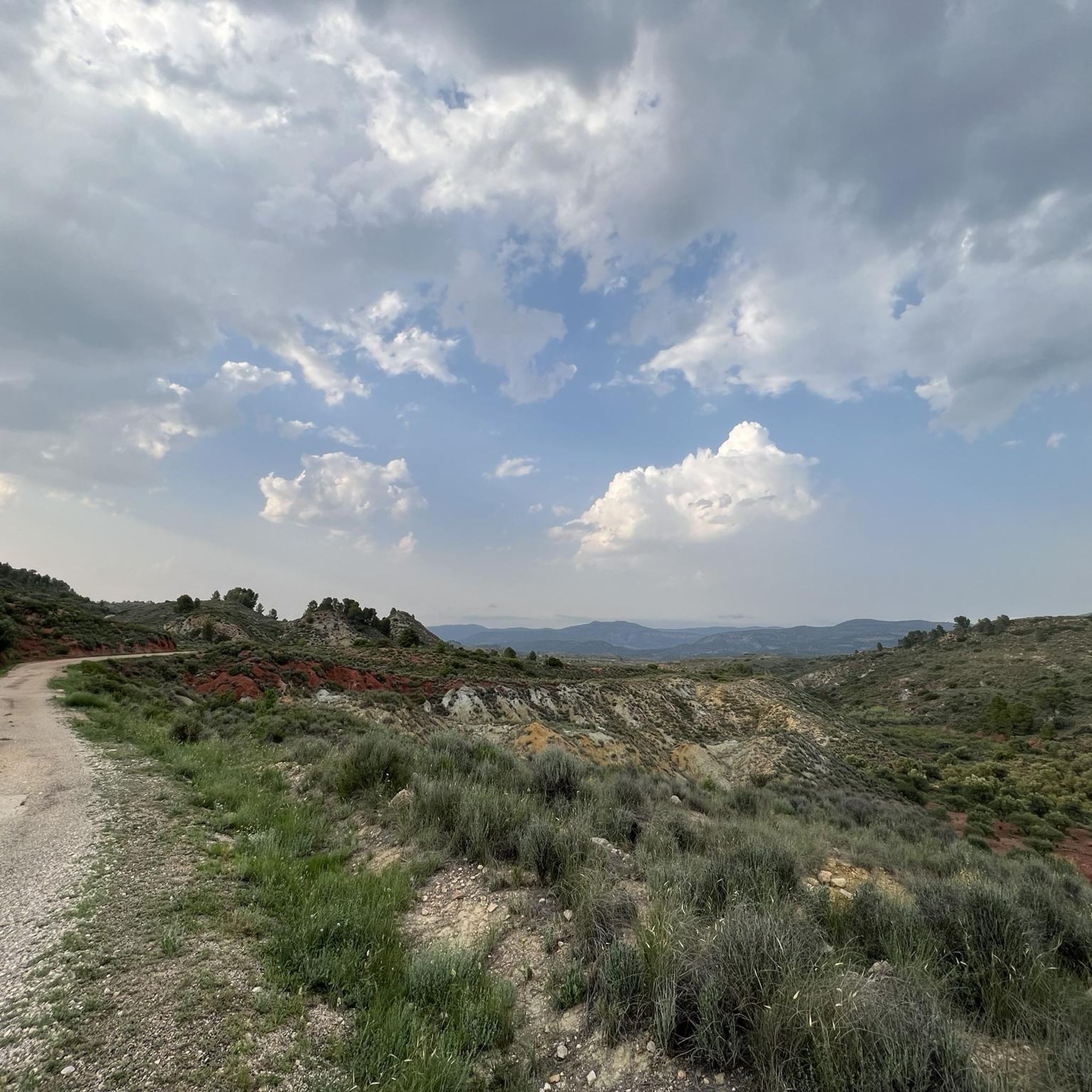
Hiking around Zarra
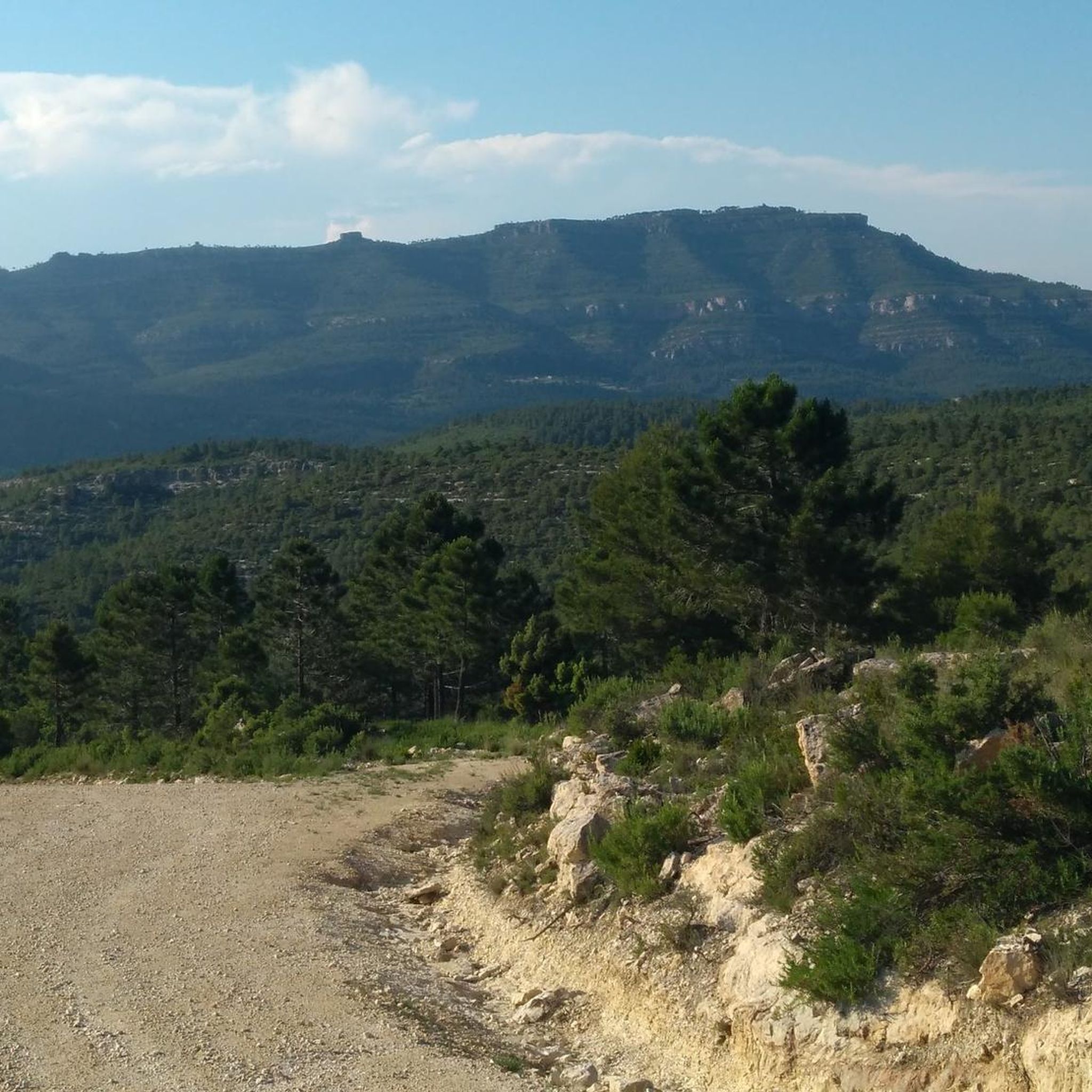
Hiking around Ayora
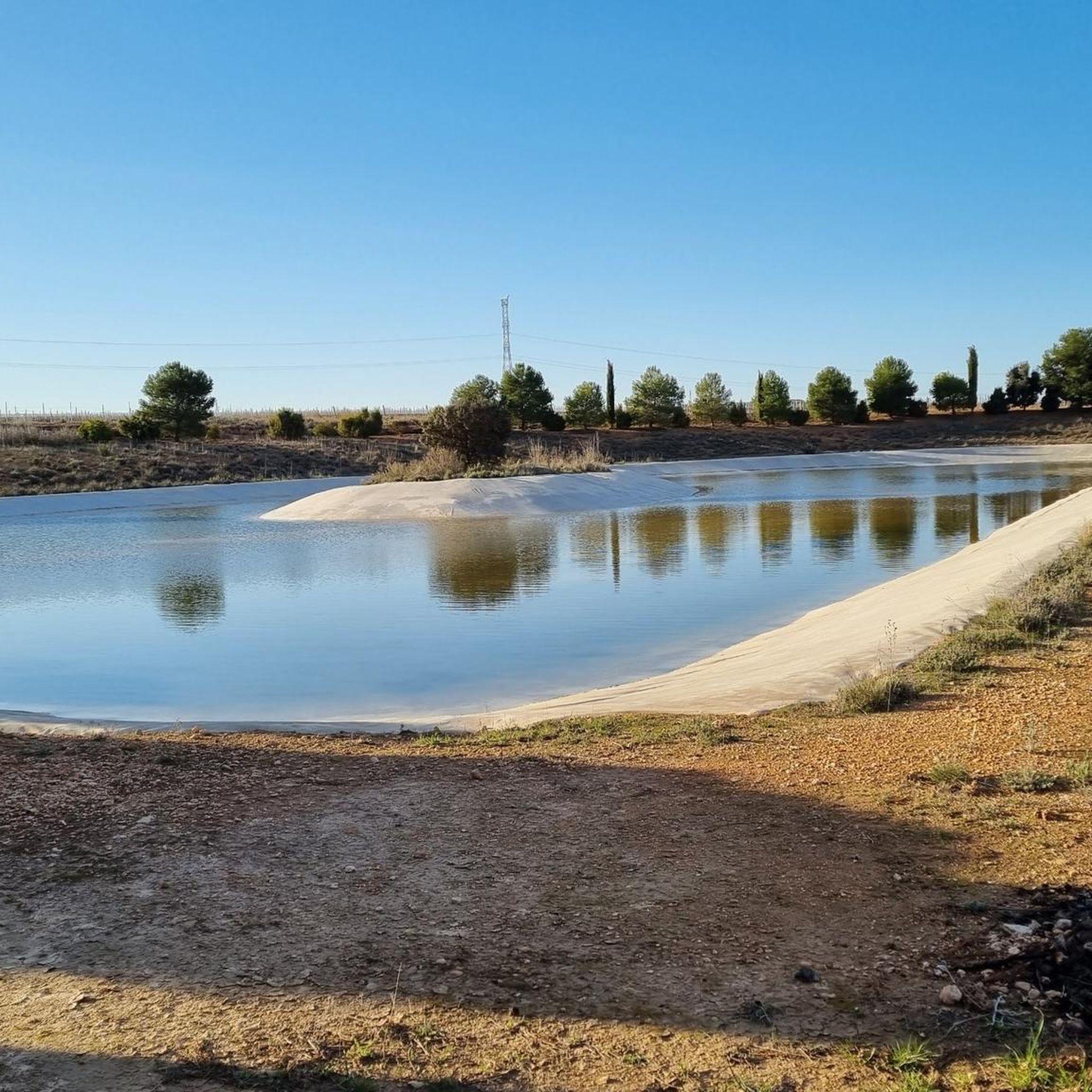
Hiking in Laguna De San Benito
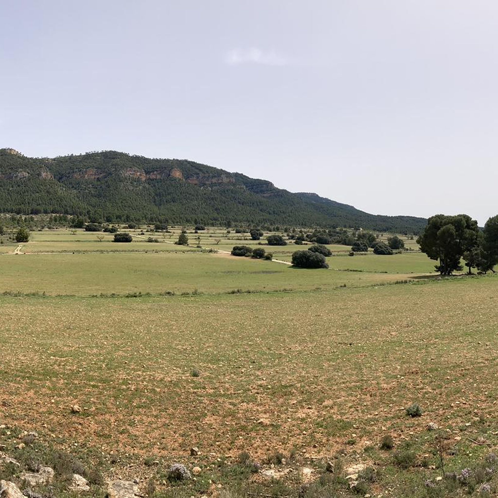
Hiking around Jarafuel
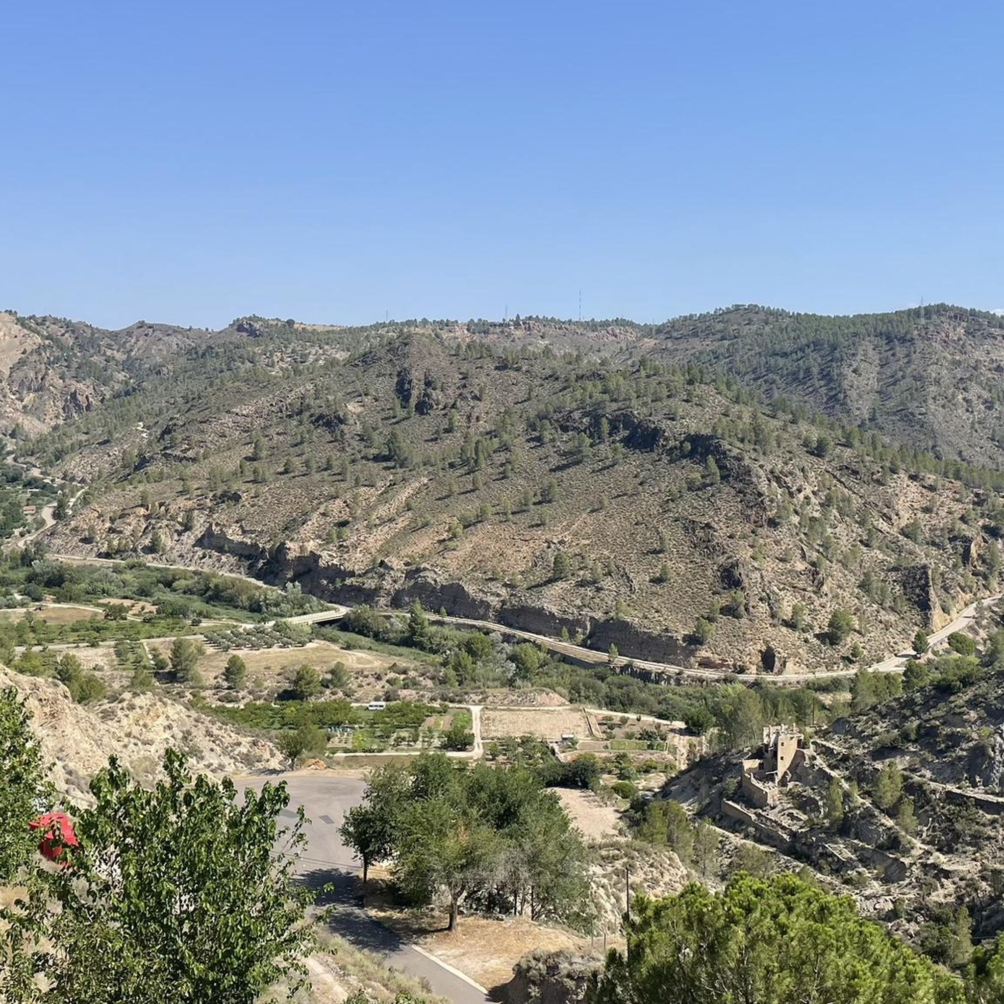
Hiking around Jalance
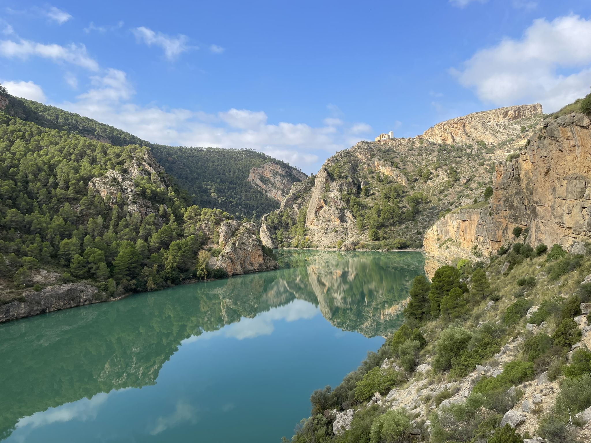
Júcar River gorge – Molinar reservoir and the Boquerón mountain range
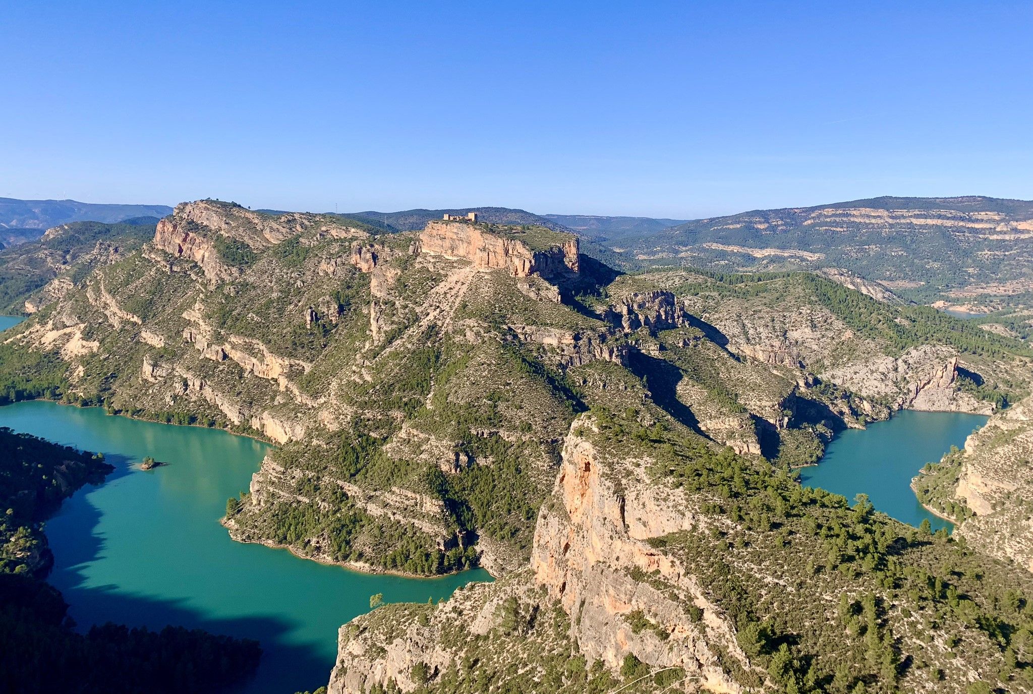
A journey full of discoveries – the Valencia region on foot (GR7)
Other adventures around El Valle de Cofrentes-Ayora


Tips from the Community

At the confluence of the Júcar and Cabriel rivers lies the Cofrentes Castle (restored) with beautiful views of the Embarcaderos Lake.
1
0

The 11th century castle was built on the Cerro Agres volcano and on the banks of the Cabriel River. It can be visited by appointment at the tourist office.
0
0
The trail through the Júcar Canyon is where you will find remains of the works carried out in the 50s to build a hydroelectric system. There are tunnels and canals along the trail.
0
0
The trail continues from here, but if you are mountain biking this might be a good place to return. The view of this gigantic wall is one of the main sites of the Júcar Canyon. It is almost 200 meters high and deserves a photo or two.
0
0

The top is 830 meters high. The climb is quite steep but the panoramic views are amazing. I invite you to take a seat and enjoy this magnificent place.
2
0

A curiosity of this Ferris wheel is that it is still active. It is an ideal place to spend the day and take a bath in cool waters. There is a recreational area with tables.
2
0
With a length of 277.6 kilometers, the Cabriel is the main tributary of the Júcar. It passes through Teruel, Albacete, Cuenca and Valencia.
2
0
Frequently Asked Questions
What types of landscapes will I encounter while hiking in El Valle de Cofrentes-Ayora?
El Valle de Cofrentes-Ayora offers a remarkably diverse landscape. You'll find dramatic river canyons carved by the Júcar and Cabriel rivers, extensive pine forests like those in La Hunde, and unique volcanic terrain, including the ancient Cerro Agrás. Elevated areas such as Pico de Caroche provide panoramic views, and the region is also home to impressive caves like Don Juan Cave in Jalance.
Are there any easy hiking trails suitable for beginners or families?
Yes, the region offers several easy trails. For instance, the Ruta del Agua — circular in Ayora is an easy 6.8 km route with minimal elevation gain, perfect for a relaxed walk. Overall, there are 27 easy routes available in the area.
Can I find circular hiking routes in El Valle de Cofrentes-Ayora?
Absolutely. Many routes in the region are circular, allowing you to start and end in the same location. Examples include La Noria, Casas de Alcance, Cofrentes y el Río Cabriel — circular desde Hervideros de Cofrentes, which explores the river and local villages, and Ruta del Agua — circular in Ayora.
What historical sites or landmarks can I visit along the hiking trails?
El Valle de Cofrentes-Ayora is rich in history. You can combine your hike with visits to several impressive castles, such as Cofrentes Castle, which overlooks the confluence of the Júcar and Cabriel rivers, or the historic Jalance Castle. The region is known as the 'castle route,' offering both cultural interest and scenic viewpoints.
Are there any trails that offer views of the Júcar or Cabriel rivers?
Yes, the rivers are central to the region's beauty. The Los Canyones del Jucar — Tour from Jalance trail specifically explores the impressive canyons carved by the Júcar River. You can also find routes like El Campichuelo Trail that offer views of the Cabriel River.
What do other hikers say about the trails in El Valle de Cofrentes-Ayora?
The routes in El Valle de Cofrentes-Ayora are highly rated by the komoot community, with an average score of 4.6 stars from over 200 reviews. Hikers often praise the diverse terrain, from river canyons to pine forests, and the well-maintained paths that lead to historic castles and panoramic viewpoints.
Are there any challenging or difficult hikes in the area for experienced hikers?
Yes, for experienced hikers seeking a challenge, there are 5 difficult routes in the region. An example is Alto de Alcola — circular desde Cofrentes, which is over 18 km long with significant elevation gain, offering a more strenuous adventure.
What is the best time of year to go hiking in El Valle de Cofrentes-Ayora?
The region is suitable for hiking for much of the year. Spring and autumn generally offer the most pleasant temperatures for exploring, with lush landscapes in spring and vibrant colors in autumn. Summers can be hot, making early morning or late afternoon hikes preferable, while winters are mild, allowing for hiking with appropriate gear.
Are there any viewpoints or high peaks that offer panoramic views?
Yes, the region's mountainous backdrop provides several excellent viewpoints. Pico de Caroche, reaching 1,126 meters, offers incredible panoramic views. Other elevated areas like Montemayor (1105m) and Pico Palomera (1260m) also provide stunning vistas of the diverse terrain.
Can I find trails that pass by lakes or reservoirs?
While the region is known for its rivers, you can also find routes near bodies of water. For example, you might encounter views of the Embarcaderos Reservoir or the La Solana Reservoir, offering picturesque waterside scenery.
Are there any trails that explore the unique volcanic landscapes of the region?
Yes, El Valle de Cofrentes-Ayora features unique volcanic terrain. You can find routes that offer stunning views of these landscapes, including the ancient Cerro Agrás, which is an ancient volcano. The circular route from Hervideros is known for providing views of volcanic formations and river canyons.
What is the typical duration for a moderate hike in El Valle de Cofrentes-Ayora?
Moderate hikes in El Valle de Cofrentes-Ayora typically range from 3 to 4 hours. For example, The Castle of Chirel (PR-CV 382) takes about 3 hours 10 minutes, while Los Canyones del Jucar — Tour from Jalance is around 3 hours 57 minutes.
Most popular routes around El Valle de Cofrentes-Ayora
Most popular attractions around El Valle de Cofrentes-Ayora

Get inspired with the komoot mobile app


Didn’t find what you were looking for?
Check out more Hikes throughout El Valle de Cofrentes-Ayora below and find the perfect route in your destination.
Explore more
Browse the best Hikes in other regions.
