The best running trails around La Plana de Utiel-Requena
799
runners
115
runs
Jogging routes around La Plana de Utiel-Requena traverse a diverse landscape characterized by a plateau surrounded by mountains, vast vineyards, and significant natural parks. The region features dramatic geological formations, river valleys, and extensive pine forests, offering a variety of terrains for runners. These natural features provide both challenging ascents and tranquil paths through agricultural lands.
Best jogging routes around La Plana de Utiel-Requena
- The most popular jogging route is La Fortaleza loop from Requena, a 4.4 miles (7.0…
Last updated: October 14, 2026
30
runners
7.05km
00:45
110m
110m
Moderate run. Good fitness required. Mostly paved surfaces. Suitable for all skill levels.
46
runners
25.2km
03:22
820m
820m
Hard run. Very good fitness required. Mostly paved surfaces. Suitable for all skill levels.

32
runners
13.2km
01:28
220m
220m
Moderate run. Good fitness required. Mostly paved surfaces. Suitable for all skill levels.
23
runners
8.36km
00:53
90m
90m
Moderate run. Good fitness required. Mostly paved surfaces. Suitable for all skill levels.
17
runners
22.4km
03:02
790m
790m
Hard run. Very good fitness required. Mostly paved surfaces. Suitable for all skill levels.
15
runners
20.4km
02:17
350m
350m
Hard run. Very good fitness required. Mostly paved surfaces. Suitable for all skill levels.
16
runners
10.2km
01:24
330m
330m
Hard run. Very good fitness required. Mostly paved surfaces. Suitable for all skill levels.
12
runners
5.19km
00:35
20m
20m
Moderate run. Good fitness required. Mostly paved surfaces. Suitable for all skill levels.
11
runners
Hard run. Very good fitness required. Mostly paved surfaces. Suitable for all skill levels.
11
runners
11.1km
01:34
490m
480m
Hard run. Very good fitness required. Mostly accessible paths. Some sure footedness required.
Get access to more routes and recommendations from other explorers.
Already have an account?
Our route recommendations are based on thousands of hikes, rides, and runs completed by other people on komoot.
Start today with a free account
Your next adventure awaits.
Popular around La Plana de Utiel-Requena
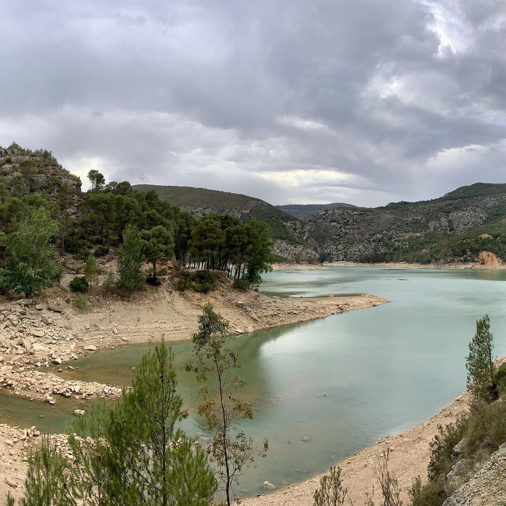
Running Trails around Chera
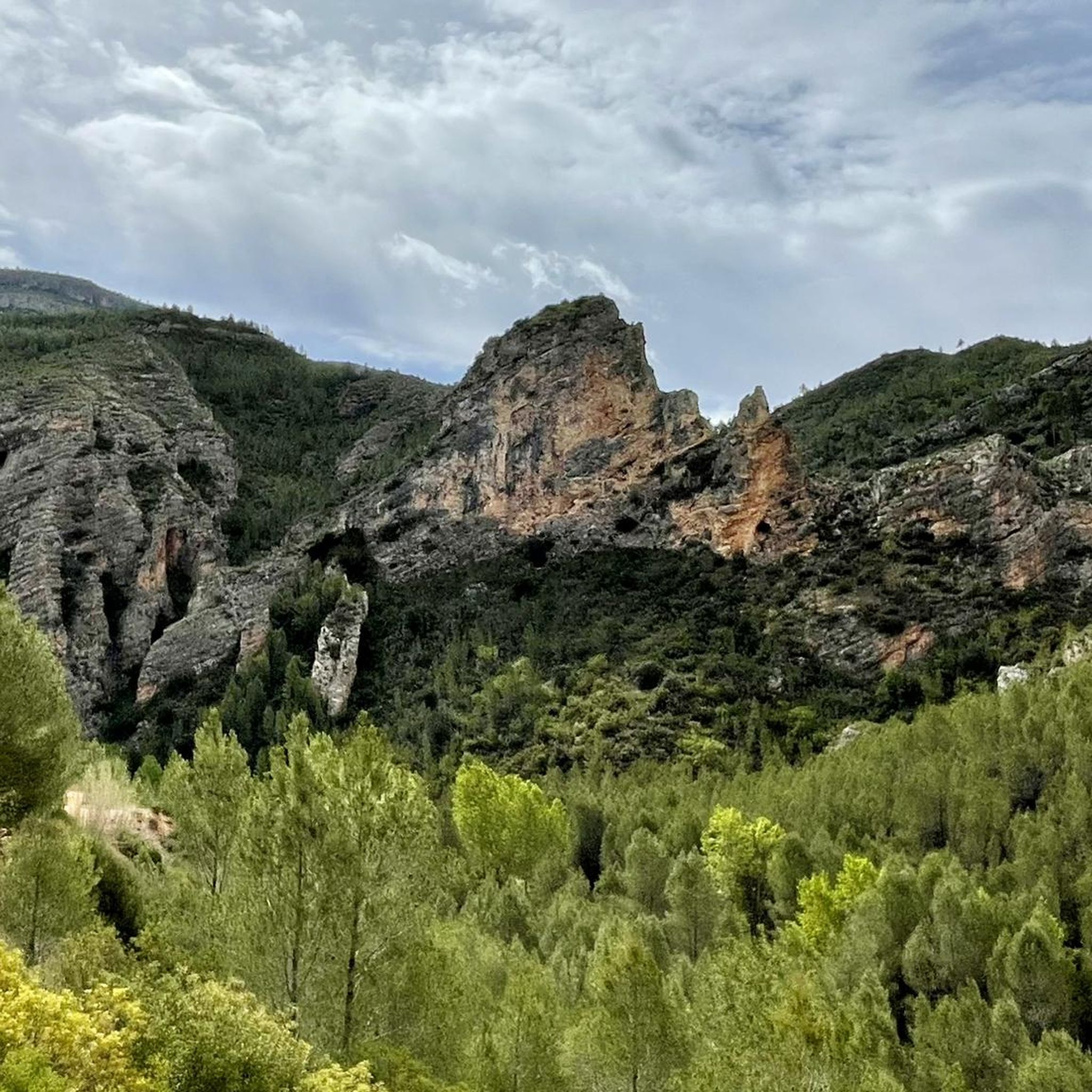
Running Trails in Chera-Sot De Chera
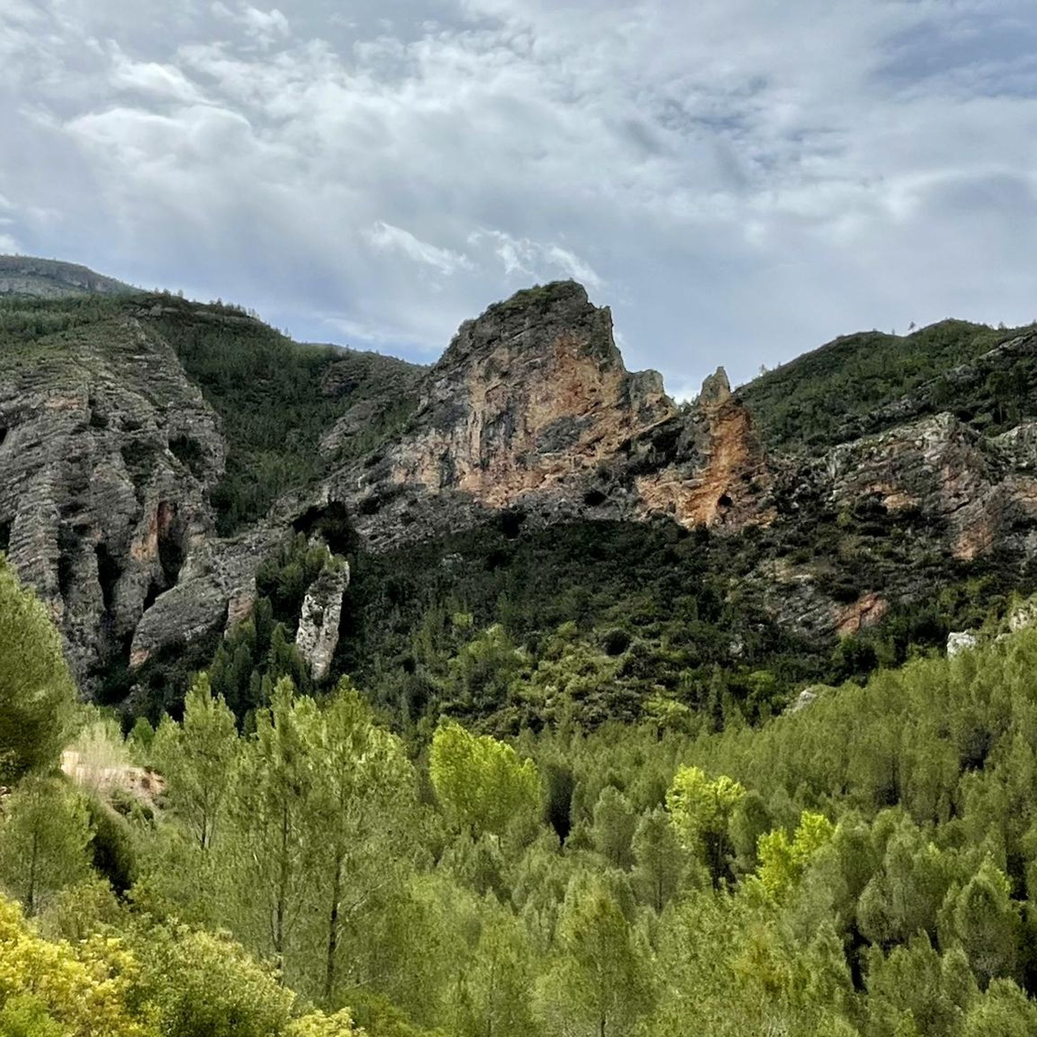
Running Trails around National Park Chera-Sot Chera

Running Trails around Requena
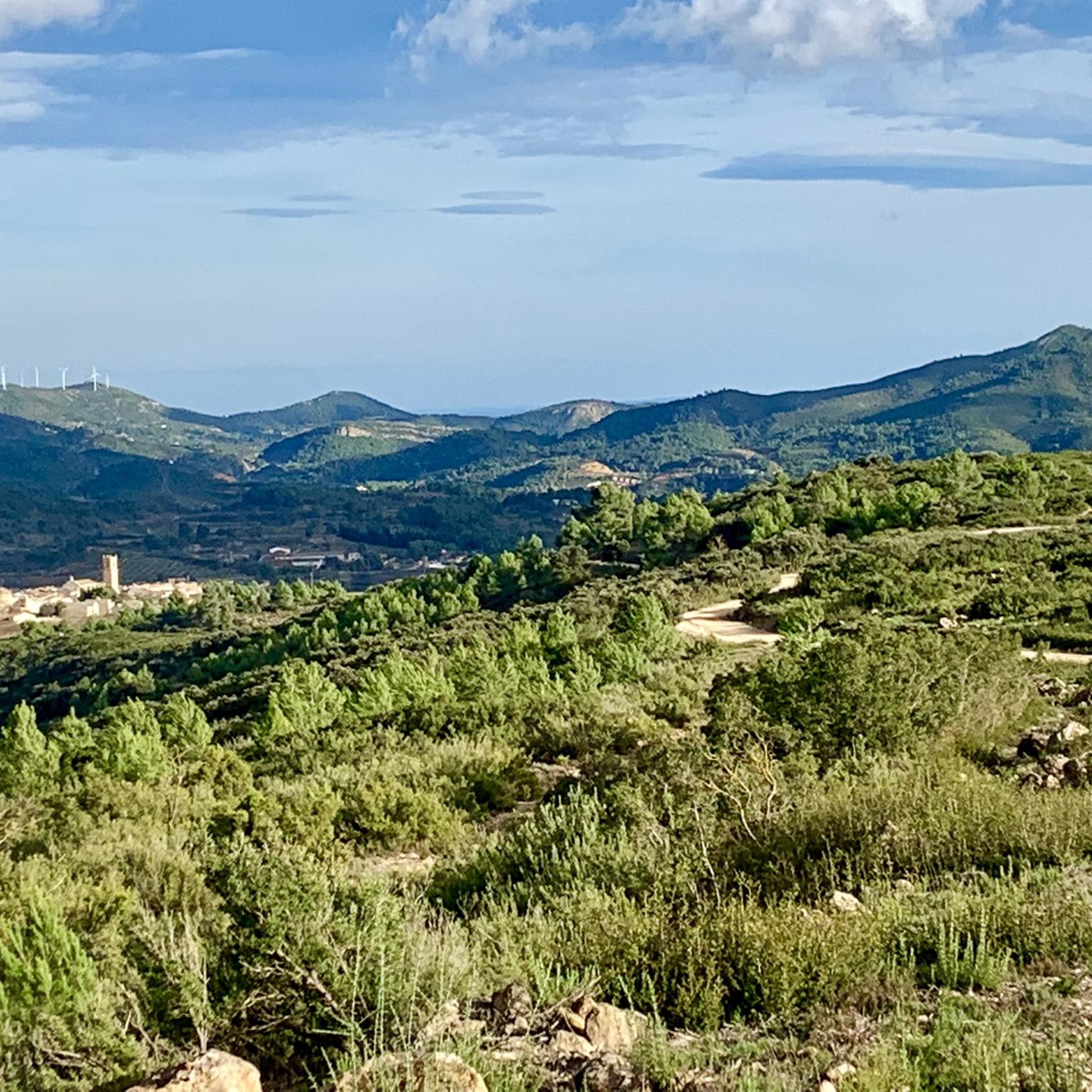
Running Trails around Siete Aguas
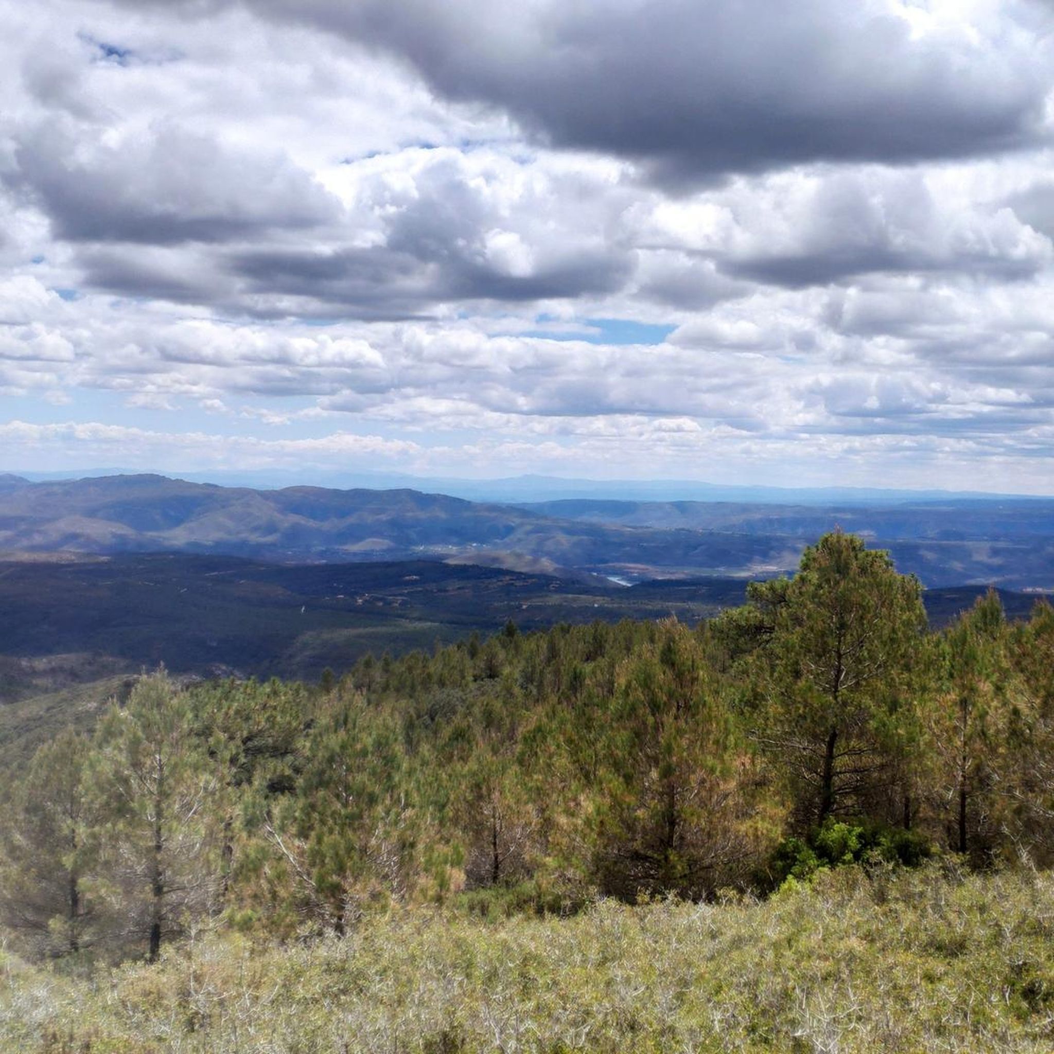
Running Trails in Villingordo
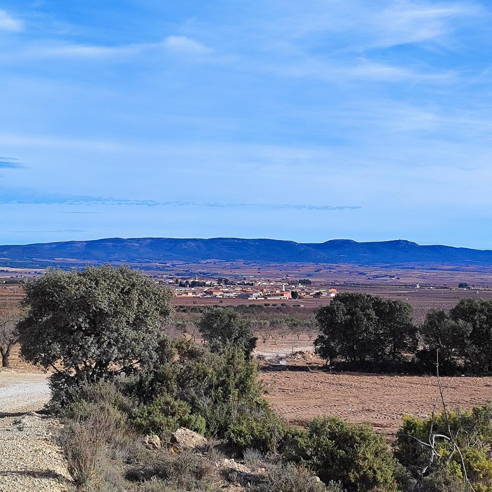
Running Trails around Utiel
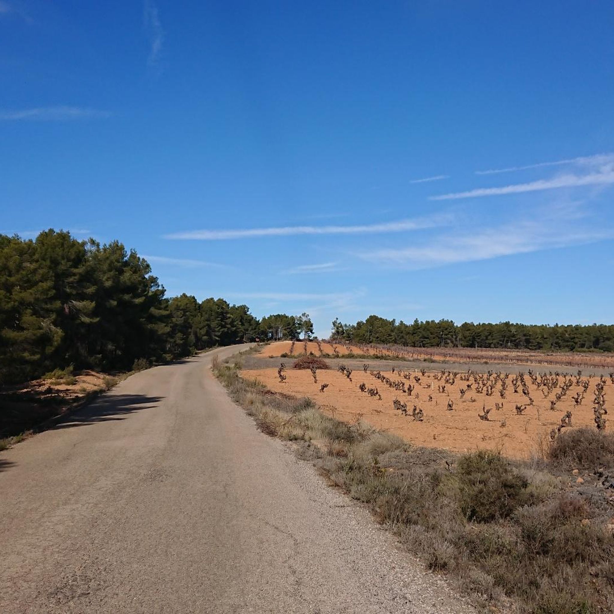
Running Trails around Venta Del Moro

Running Trails around Sinarcas
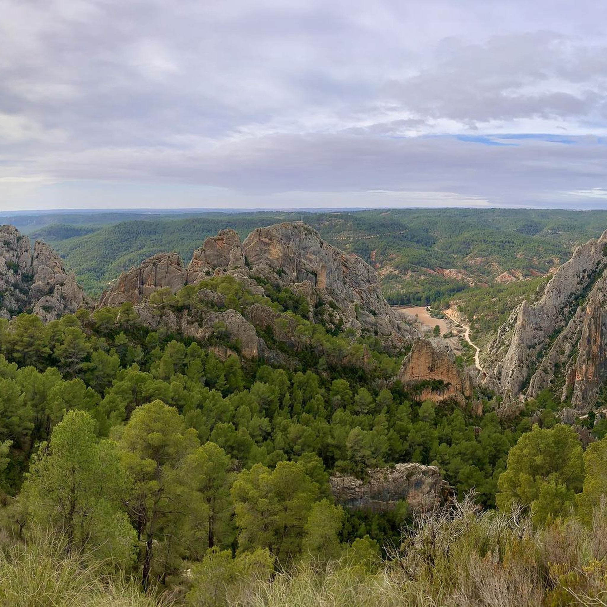
Running Trails in Hoces Del Cabriel
Other adventures around La Plana de Utiel-Requena


Tips from the Community

This area marks the end of the hill and the beginning of more fertile land, dominated by vineyards and other crops where farmers from Requena and its surroundings work the land and give life to a lively and productive rural landscape typical of the Utiel-Requena wine region.
0
0

Update after La Dana, the fountain is almost destroyed, but the water is still flowing, now at ground level (I put a photo).
1
1
A small additional, useful detail: this fountain has water all year round, even at the end of summer.
2
1

It's a wonderful viewpoint on the hiking trail between Requena and Chera. This elevated spot offers sweeping views of the natural landscape of La Plana de Utiel-Requena and the surrounding mountain ranges—a place where it's truly worthwhile to pause for a few minutes to admire the panorama before continuing your hike.
6
0
Beautiful fountain at the entrance to the village
6
1

The cycling trip continues along the rural path of the Ruta de la Lana and passes through El Rebollar, an old inn on the Camino Real in Valencia. The slides follow one another among holm oak forests, Aleppo pine groves and vineyard plantations until the final climb towards Siete Aguas begins, on the A-3 service road. The Nature Trail passes through an uncomfortable little tunnel under the highway, then crosses the high-speed train bridge and continues along a path with a lot of stones that can put in trouble those who carry long distances on their bike. The descent to the town is also delicate due to the loose surface. The “Turia sector” of the Natural Trail ends in Siete Aguas. The route to Pedralba, in the Turia valley, has several non-cyclable sections for gravel bikes and we turn around in this beautiful town of Hoya de Buñol-Chiva, famous for the springs that flow in the municipality, such as the fountains of the Papan, of the Gota, of the Apetito, of the Tejería or the great symbol of the town, the popular Fuente de los Siete Caños, in the center of the urban area. The return from Siete Aguas to the highway is recommended along the road to avoid the stone path. And then to Requena along the same route, following the red milestones of the Turia-Cabriel Natural Trail through El Rebollar and the Magro River valley.
0
0

Near Siete Aguas are the remains of this undated aqueduct. Due to the type of construction, it could be a Roman work.
2
0

The Buseo reservoir dams the Reatillo river. It was built to irrigate the garden crops, although now its use is basically recreational. There is a camping area where, with prior permission, you can spend the night. It also has picnic areas, a fountain, toilets and showers.
0
0
Frequently Asked Questions
How many running routes are available in La Plana de Utiel-Requena?
There are over 80 running routes documented in La Plana de Utiel-Requena, offering a wide range of options for different fitness levels and preferences. These include paths through vineyards, natural parks, and mountainous terrain.
Are there any easy or beginner-friendly jogging routes in the region?
Yes, La Plana de Utiel-Requena offers several routes suitable for beginners or those seeking a gentle jog. For example, the Utiel – Utiel loop from Utiel is a moderate 5.7 km path with minimal elevation gain, perfect for a relaxed run. There are 3 routes specifically classified as easy, and many moderate routes are also accessible for less experienced runners.
What kind of natural landscapes can I expect to see while running in La Plana de Utiel-Requena?
The region boasts diverse natural landscapes, from vast vineyards, especially those growing the native Bobal grape, to dramatic geological formations within natural parks like Hoces del Cabriel and Chera-Sot de Chera. You'll also find routes through pine forests, along river courses like the Cabriel, and up mountain ranges offering panoramic views.
Are there any challenging running trails for experienced runners?
Absolutely. For those seeking a challenge, La Plana de Utiel-Requena offers 20 difficult routes. The Pico Montote loop from El Rebollar is a demanding 25.1 km trail with over 800 meters of elevation gain, providing a significant workout and rewarding views. Another option is the Negrete – El Remedio loop from Casa Medina, a 14.4 km difficult route.
Can I find circular running routes in La Plana de Utiel-Requena?
Many of the running routes in the region are circular, allowing you to start and finish at the same point. A popular example is the Requena Fortress loop from Requena, a 9 km moderate trail that offers a mix of historical and natural scenery.
What are some notable attractions or viewpoints along the running routes?
Joggers can encounter various points of interest. You might pass by historical sites like the Requena Fortress or enjoy natural wonders. For stunning vistas, consider routes near Pico Ropé or the Peña Azul Viewpoint. The Contreras Bridge over the Cabriel River is also a striking landmark.
Are there any running routes that pass by water features like lakes or waterfalls?
Yes, the region features several water bodies. The large Embalse de Contreras (reservoir) is a prominent feature, and routes near it offer scenic views. You can also find natural wonders like the Waterfall and Pool at Barranco de la Hoz, providing refreshing sights during your run.
What do other runners say about the trails in La Plana de Utiel-Requena?
The running routes in La Plana de Utiel-Requena are highly regarded by the komoot community. Over 600 runners have explored the varied terrain, often praising the diverse landscapes, from tranquil vineyards to challenging mountain paths, and the opportunity to combine exercise with cultural and natural exploration.
Are there any running routes suitable for families?
While specific 'family-friendly' classifications aren't always available, many of the easier and moderate routes with less elevation gain are suitable for families. Look for shorter, well-maintained paths that pass through towns or offer recreational areas. The Rafael Duyos Park loop from San Antonio de Requena is a moderate 6.3 km route that could be a good option.
Are there running routes that are easily accessible by public transport?
Many towns in La Plana de Utiel-Requena, such as Requena and Utiel, serve as starting points for routes and are connected by public transport. For instance, the Town Hall and fountain – Requena Fortress loop from Requena starts directly from Requena, making it convenient for those arriving by public transport.
What is the best time of year to go jogging in La Plana de Utiel-Requena?
The region offers good conditions for jogging for much of the year. Spring and autumn are particularly pleasant, with mild temperatures and vibrant landscapes as vineyards change color or almond trees bloom. Summers can be hot, so early mornings or late evenings are recommended, especially for routes with less shade. Winters are generally mild, making it possible to run year-round.
Are there any long-distance running trails for endurance training?
Yes, for those looking for longer runs, there are several options. The Almond fields – Fuenta de Siete Aguas loop from Siete Aguas is a difficult 20.8 km trail, offering a substantial distance and elevation for endurance training through picturesque agricultural lands.
Most popular routes around La Plana de Utiel-Requena
Most popular attractions around La Plana de Utiel-Requena

Get inspired with the komoot mobile app


Didn’t find what you were looking for?
Check out more Running Trails & Routes throughout La Plana de Utiel-Requena below and find the perfect route in your destination.
Explore more
Browse the best Running Trails & Routes in other regions.
