The best running trails around Valle Bajo Alberche
4.8
(4)
672
runners
105
runs
Jogging around Valle Bajo Alberche offers diverse and well-preserved natural landscapes, characterized by the deep valley carved by the Alberche River. The region features extensive pine forests, such as the Hoyocasero Pine Forest and ZEPA Pinares del Bajo Alberche, alongside picturesque riparian vegetation. Terrain varies from river valleys to mountainous areas, providing a range of running environments. This combination of natural features makes it a suitable destination for outdoor activities.
Best jogging routes around Valle Bajo Alberche
- The most popular…
Last updated: August 17, 2026
3
runners
13.7km
01:27
110m
110m
Jog this 8.5-mile (13.7 km) moderate loop around Navaluenga, enjoying the Alberche River and historic bridge views.
Hard run. Very good fitness required. Sure-footedness, sturdy shoes and alpine experience required.

Sign up for free
57
runners
22.5km
03:23
800m
800m
Hard run. Very good fitness required. Sure-footedness, sturdy shoes and alpine experience required.
40
runners
31.9km
05:34
1,660m
1,660m
Hard run. Very good fitness required. Sure-footedness, sturdy shoes and alpine experience required.
35
runners
29.8km
04:22
1,270m
1,270m
Hard run. Very good fitness required. Sure-footedness, sturdy shoes and alpine experience required.
32
runners
14.2km
01:58
490m
490m
Hard run. Very good fitness required. Sure-footedness, sturdy shoes and alpine experience required.
26
runners
31.9km
04:39
1,290m
1,290m
Hard run. Very good fitness required. Sure-footedness, sturdy shoes and alpine experience required.
18
runners
16.7km
02:09
410m
410m
Hard run. Very good fitness required. Mostly paved surfaces. Suitable for all skill levels.
19
runners
10.1km
01:04
130m
130m
Moderate run. Good fitness required. Mostly paved surfaces. Suitable for all skill levels.
4.0
(1)
16
runners
10.8km
01:13
150m
150m
Moderate run. Good fitness required. Mostly paved surfaces. Suitable for all skill levels.
Get access to more routes and recommendations from other explorers.
Sign up for free
Already have an account?
Our route recommendations are based on thousands of hikes, rides, and runs completed by other people on komoot.
Start today with a free account
Your next adventure awaits.
Login or Signup
Popular around Valle Bajo Alberche
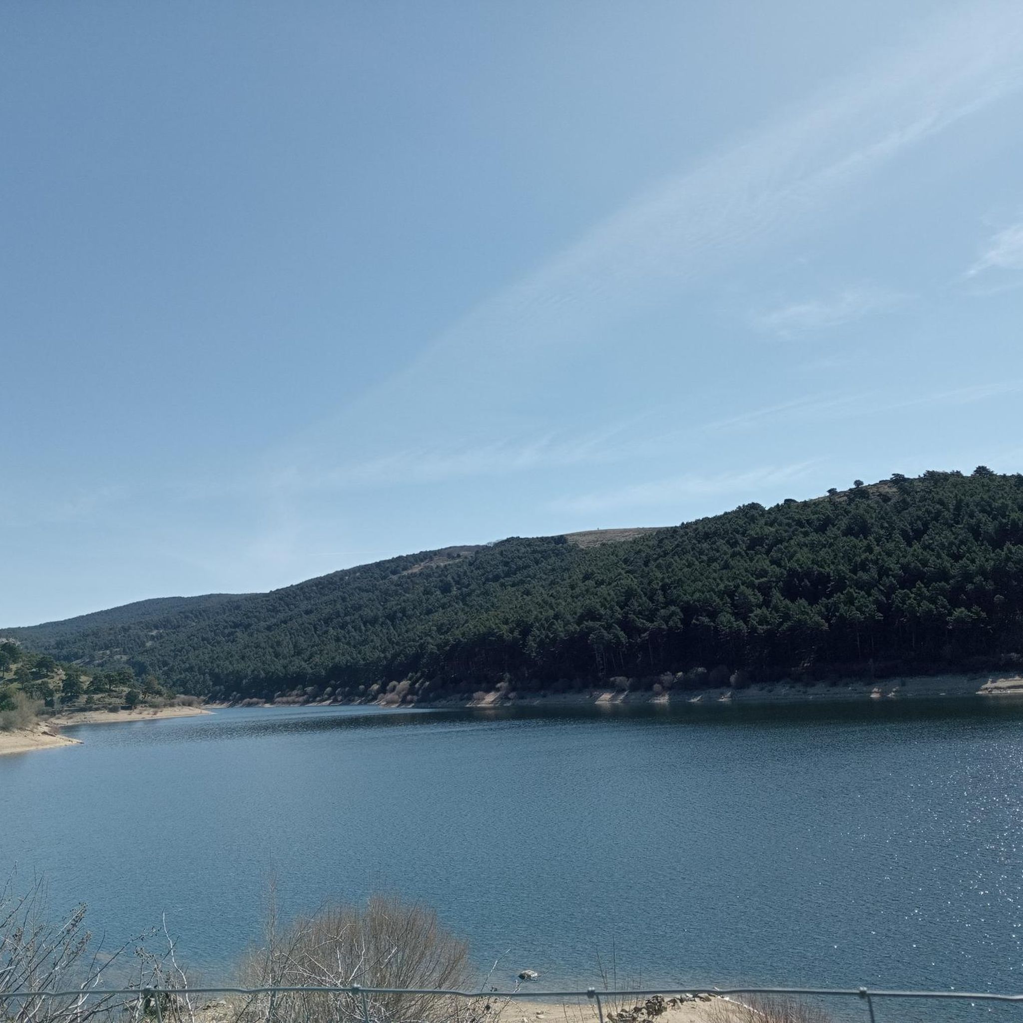
Running Trails around Embalse de la Aceña
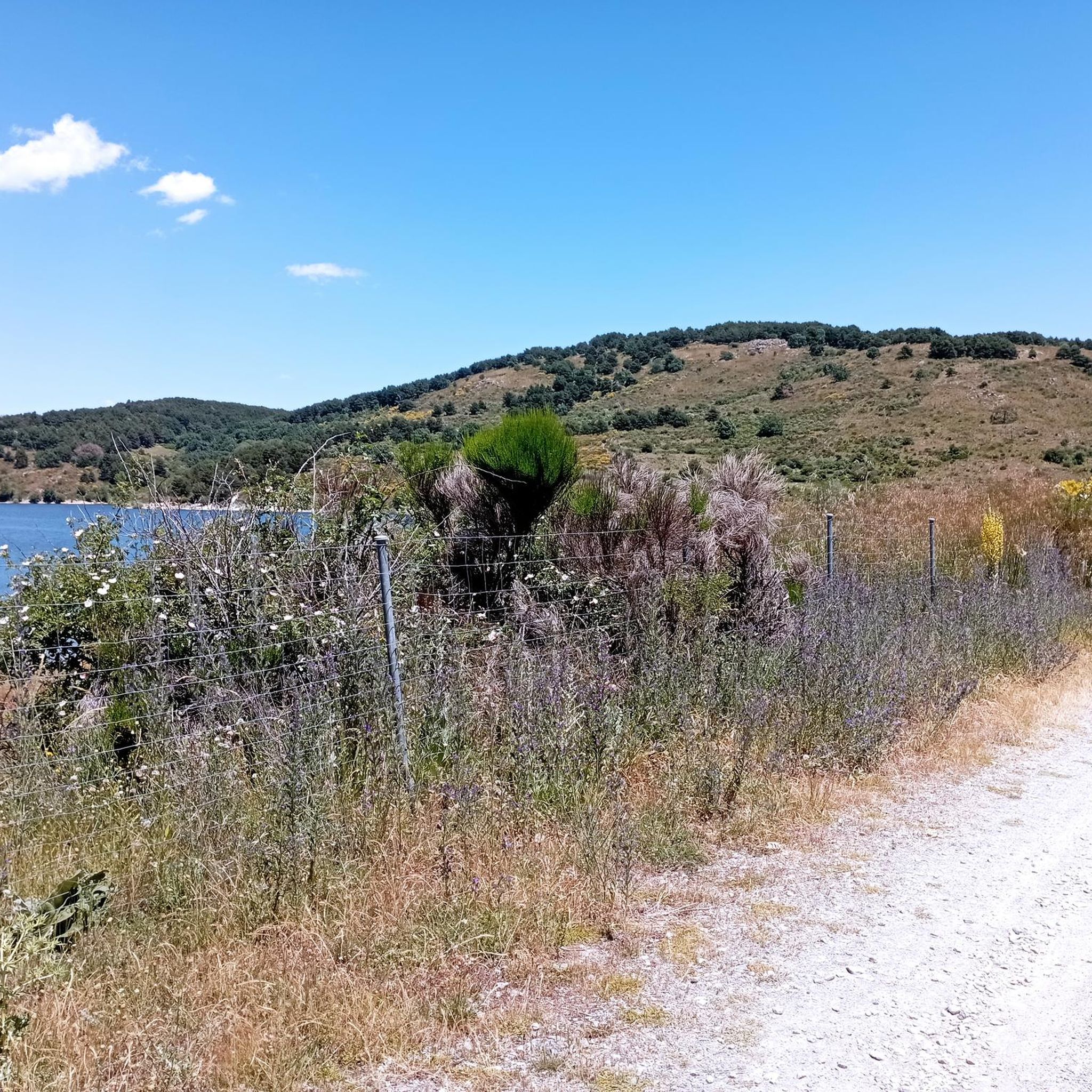
Running Trails around Peguerinos
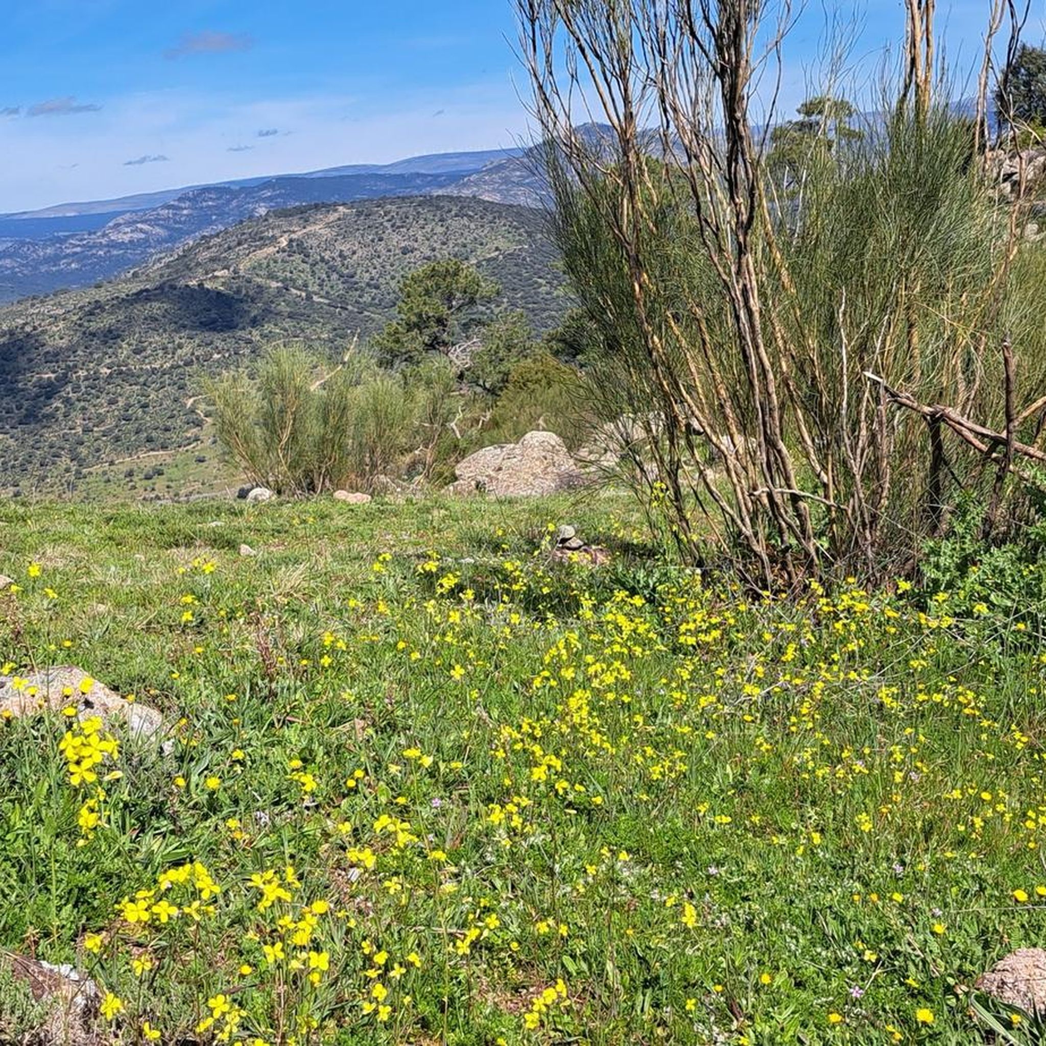
Running Trails around El Barraco

Running Trails around Embalse de El Burguillo
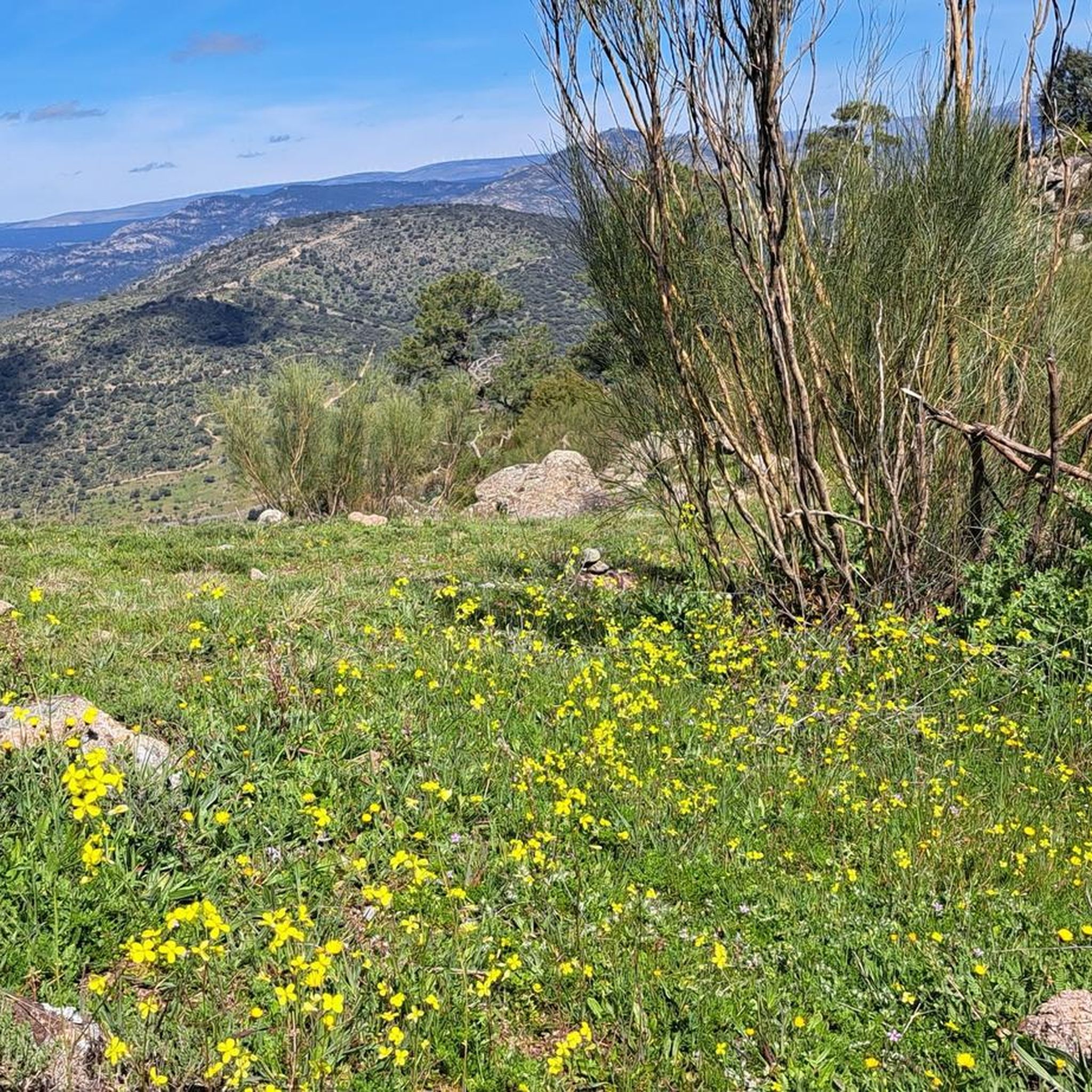
Running Trails around El Tiemblo
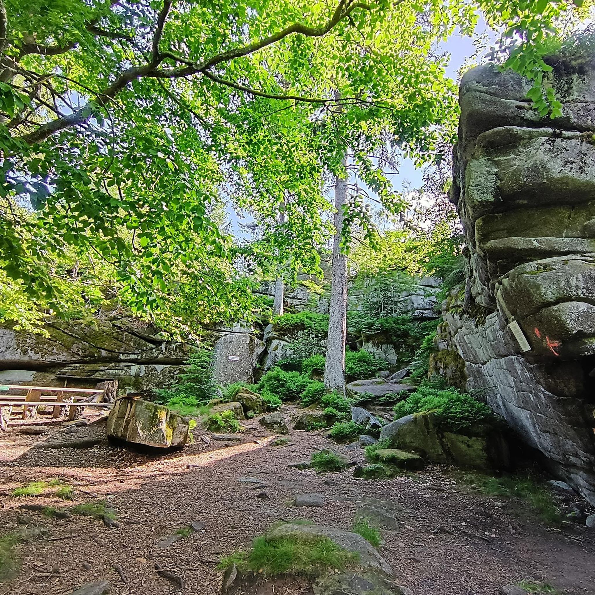
Running Trails around Reserva Natural del Valle de Iruelas
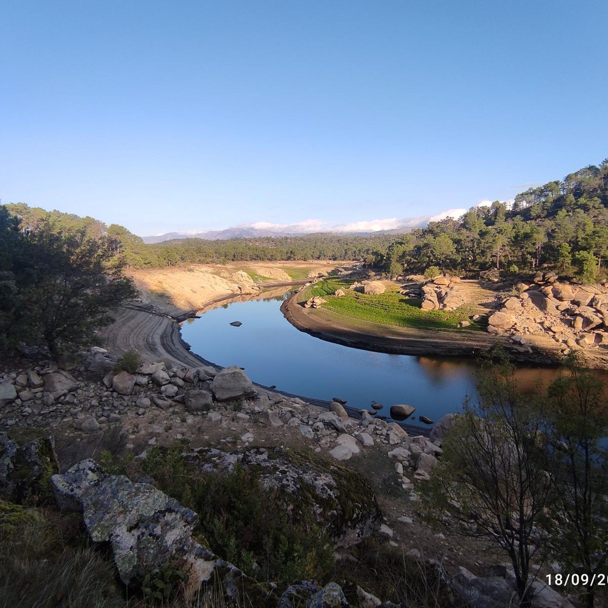
Running Trails around San Juan De La Nava

Running Trails around Burgohondo
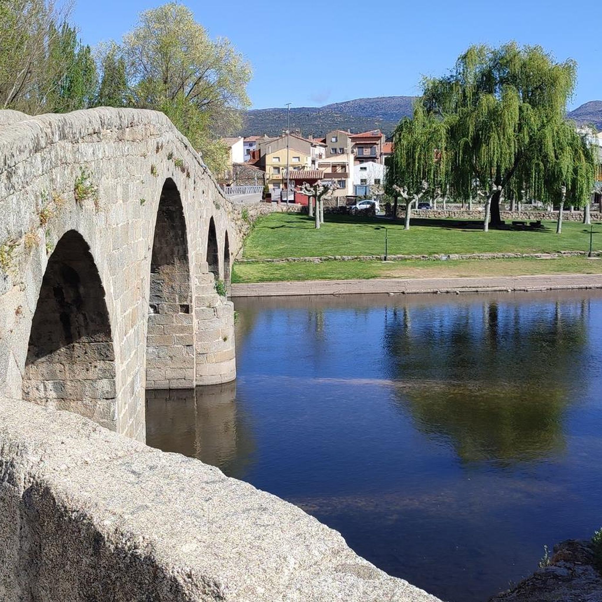
Running Trails around Navaluenga
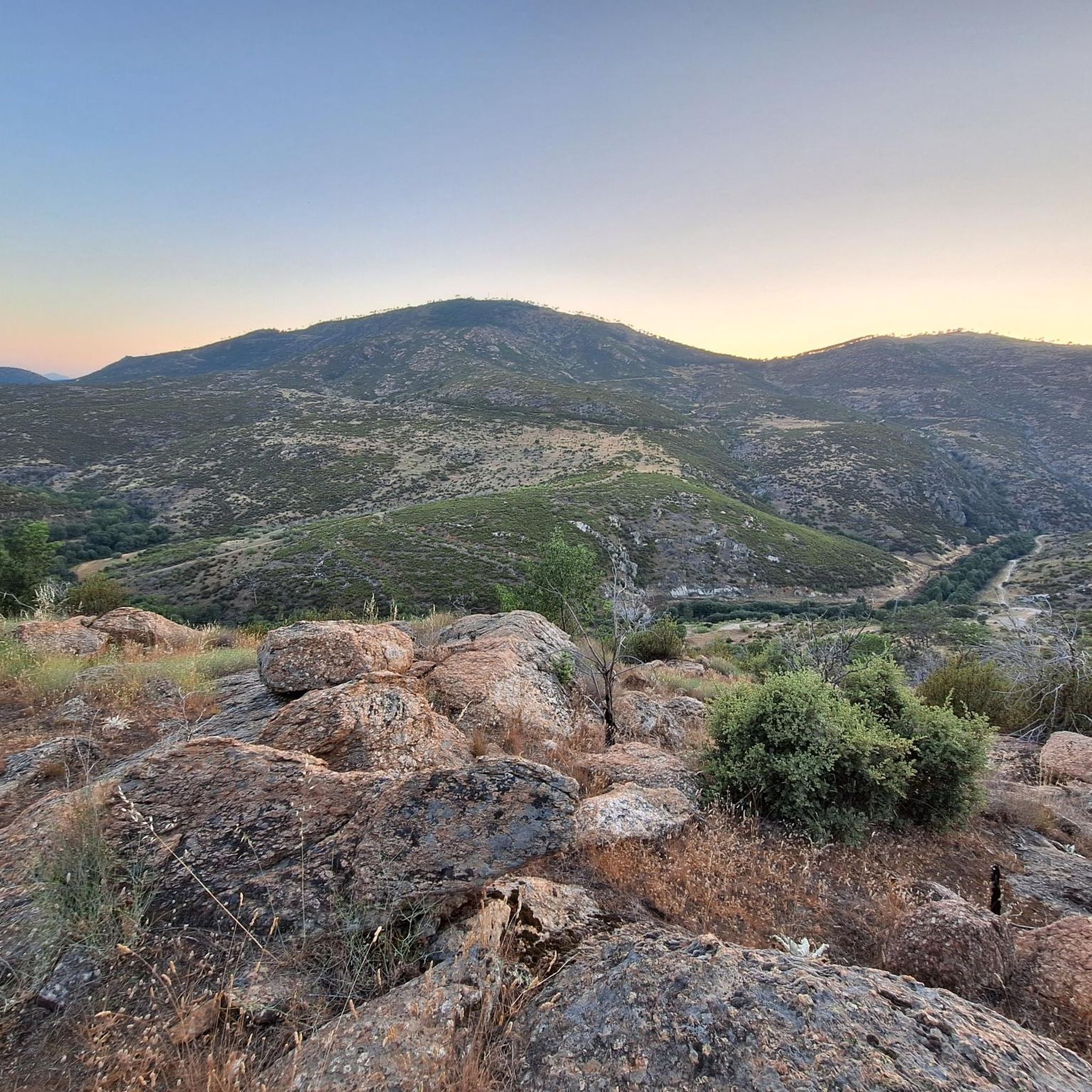
Running Trails around Cebreros


Tips from the Community

The Chubieco Meadows with the nearby stream of the same name, are a flat place that invites peace and tranquility.
0
0
Alto de Cueva Valiente is a place from which you can see wonderful views in every direction.
0
0

Beautiful stone bridge over the Alberche River as it passes through Navaluenga.
0
0

The cycle trip continues along the lane of the Jacobean route until it connects with the Cebreros highway. The route continues along the side of the road, passing through the popular port of Arrebatacapas and another descent to Cebreros, a mountain town with a wine-growing tradition that would be a good place to finish the second stage when organized as a three-day trip. The Camino de Levante descends from the port along a mountain path that is quite technical and difficult by bicycle, suitable for trail experts and everyone can choose. The path begins next to the port sign and ends where the road enters the urban complex. The track goes down the road, crosses the town and continues the descent along the old Camino Real de Toledo, used by the funeral procession of Isabel la Católica when they carried her remains from Medina del Campo to Granada. At the Cebreros exit there are remains of the old medieval road and on the Alberche River there are the monumental bridges of Valsordo and Santa Yusta, used since Roman times, although they have undergone several reconstructions throughout history. The climb coincides with the last arrows of the Camino de Levante and deviates through the Puente Nuevo urbanization towards San Martín de Valdeiglesias, following the markings of the GR-10 long-distance path, with several hard ramps on the Camino de la Aliseda.
0
0

Cueva Valiente is a mountain located in the Sierra de Guadarrama, part of the Central System. A popular route starts from San Rafael and takes approximately 4 hours in total to reach Cueva Valiente and return. The trail follows a network of paths, some of which can be difficult to follow, so carrying a map or GPS is recommended. The total distance is 11.2 kilometers, with an ascent of 689 meters and an equal descent. The maximum altitude reached is 1903 meters. If you are interested in exploring this beautiful mountain, I encourage you to take the hike! 😊
2
0

The Alberche River is one of the tributaries of the Tagus, and runs through the communities of Castilla y León, Madrid, and Castilla - La Mancha. It is born on the southern slope of the Villafranca mountain range, in the Central system. It is a river with a shallow flow, like all the rivers that originate from the southern slope of the Central system. It serves as a border between the Gredos and Guadarrama mountain ranges.
1
0

Historical building of an old convent from the 16th century.
1
0

The path reaches the hill where the old Gargantilla hill track climbs to the left and begins the final stretch of the climb to the top of Cueva Valiente (1,903 m). On the meadow there is a well-kept mountain refuge and natural granite sculptures, it is a summit with unattainable design and views. The negative 600 meters of the descent begin on the path marked with stone markers towards the north slope. The abyss where San Rafael is is overwhelming. The path overcomes a steep slope in a few meters, passes through the detour of the cave that gives its name to the mountain and ends in the meadow of the Peñotillo hill, turning left along a technical path that goes down towards the Gargantilla hill. Before reaching the hill, known for the reconstructed forts from the Civil War, the trail turns to the right and continues the frenetic descent down the Gargantilla stream ravine. On some stones there are points of red paint along paths parallel to the stony main path.
0
1
Frequently Asked Questions
How many running routes are available in Valle Bajo Alberche?
Valle Bajo Alberche offers a wide selection of over 70 running routes. These include 5 easy routes, 38 moderate routes, and 28 difficult routes, catering to various fitness levels and preferences.
Are there easy running routes suitable for beginners in Valle Bajo Alberche?
Yes, there are several easy running routes perfect for beginners. For instance, the Navaluenga Valley loop from El Rincón de Gredos is a moderate 7.9 km path that offers a pleasant experience without significant elevation changes, allowing you to enjoy the scenic valley.
Can I find circular running routes in the region?
Absolutely. Many routes in Valle Bajo Alberche are circular, allowing you to start and finish at the same point. A great example is the Navaluenga Valley and Alberche River Loop, which is a popular 13.7 km moderate trail following the Alberche River.
Are there any running trails in Valle Bajo Alberche that offer scenic viewpoints?
Yes, the region's varied terrain includes routes with excellent viewpoints. The Ascent to Alto del Mirlo through the Castañar del Tiemblo route, though challenging, leads to the Alto del Mirlo (Pico Casillas), offering panoramic views of the Valle de Iruelas Natural Reserve.
What kind of wildlife might I encounter while running in Valle Bajo Alberche?
Valle Bajo Alberche is rich in biodiversity. While running, you might spot various birds, including vultures and imperial eagles, especially near the Valle de Iruelas Natural Reserve, which is a Special Protection Area for Birds. The riparian vegetation along the Alberche River also supports otters and other aquatic species.
Are there running routes suitable for families with children?
For families, routes with less elevation and shorter distances are ideal. The areas around the Alberche River, like the Navaluenga Valley and Alberche River Loop, offer relatively flat sections and picturesque scenery suitable for a family outing, though some parts might be longer for very young children.
Can I bring my dog on the running trails in Valle Bajo Alberche?
Many natural areas in Valle Bajo Alberche are generally dog-friendly, but it's always recommended to keep your dog on a leash, especially in protected areas like the Valle de Iruelas Natural Reserve, to protect local wildlife. Always check local regulations for specific trails.
What are some notable natural attractions or landmarks I can see along the running routes?
The region is dotted with interesting sights. You can run through the significant Castañar del Tiemblo, explore the historic Historic center of Cebreros, or pass by the Puerto de Arrebatacapas. The Alberche River itself, with its centenary alameda in Navaluenga, is a beautiful natural feature.
Are there running routes with convenient parking options?
Many trailheads in Valle Bajo Alberche, especially those near towns like Navaluenga or El Tiemblo, offer parking facilities. For example, routes like the Burguillo Reservoir loop from El Tiemblo typically have parking available near the starting point, making access convenient.
What is the best time of year to go jogging in Valle Bajo Alberche?
The Valle Bajo Alberche is enjoyable for jogging throughout much of the year. Spring and autumn offer pleasant temperatures and vibrant natural colors. Summer can be warm, but routes with shade, particularly those along the Alberche River or through pine forests, provide relief. Winters are generally mild, making it possible to run year-round, though higher elevations might experience colder conditions.
Are there shaded routes for summer running in Valle Bajo Alberche?
Yes, the region's extensive pine forests and riparian vegetation along the Alberche River provide excellent shade for summer running. The ZEPA Pinares del Bajo Alberche and areas around the Hoyocasero Pine Forest offer cooler, shaded paths, making them ideal for jogging during warmer months.
What do other runners say about the trails in Valle Bajo Alberche?
The running routes in Valle Bajo Alberche are highly rated by the komoot community, with an average score of 5.0 stars from more than 3 reviews. Runners often praise the diverse landscapes, from river valleys to pine forests, and the variety of routes available for all difficulty levels.
Are there any longer, more challenging routes for experienced runners?
Experienced runners will find plenty of challenging options. The Historic center of Cebreros – Puerto de Arrebatacapas loop from Cebreros is a demanding 30.8 km trail with significant elevation gain, often taking over 4 hours to complete. Another difficult option is the El Herradón loop from Herradón-La Cañada, covering 22.5 km with considerable ascent.
Are there any routes that pass by water bodies for a refreshing experience?
Many routes in Valle Bajo Alberche follow the Alberche River, offering picturesque views and the sound of flowing water. The Burguillo Reservoir loop from El Tiemblo is another excellent option, taking you around the beautiful El Burguillo Reservoir, where water sports are also popular.
Most popular routes around Valle Bajo Alberche
Most popular attractions around Valle Bajo Alberche

Get inspired with the komoot mobile app


Didn’t find what you were looking for?
Check out more Running Trails & Routes throughout Valle Bajo Alberche below and find the perfect route in your destination.
Explore more
Browse the best Running Trails & Routes in other regions.
