The best walks and hikes around Alcarria Alta
4.6
(173)
1,237
hikers
42
hikes
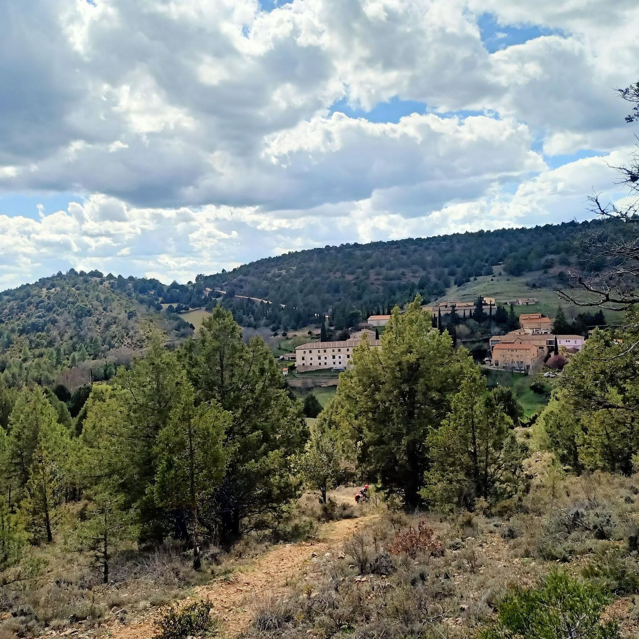
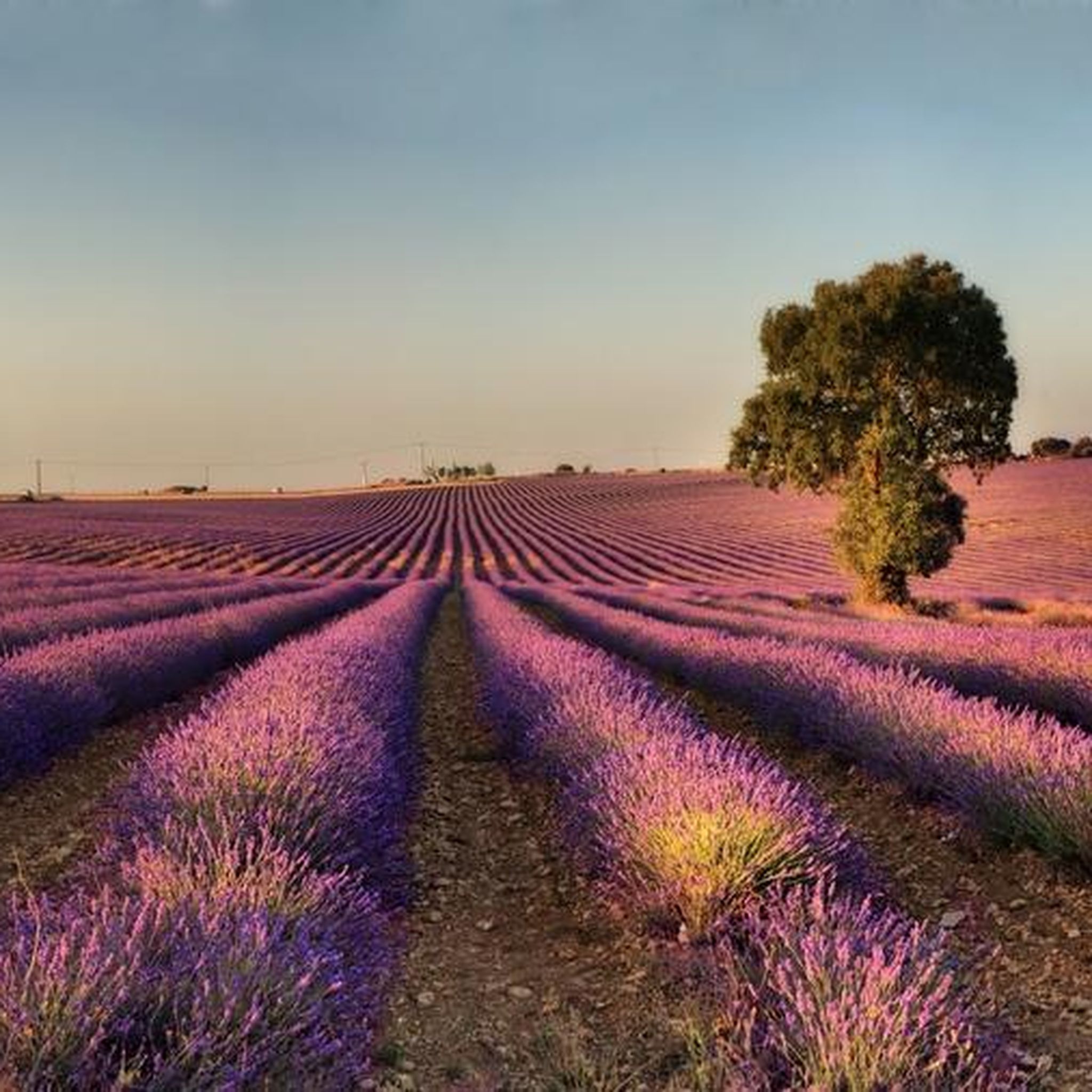
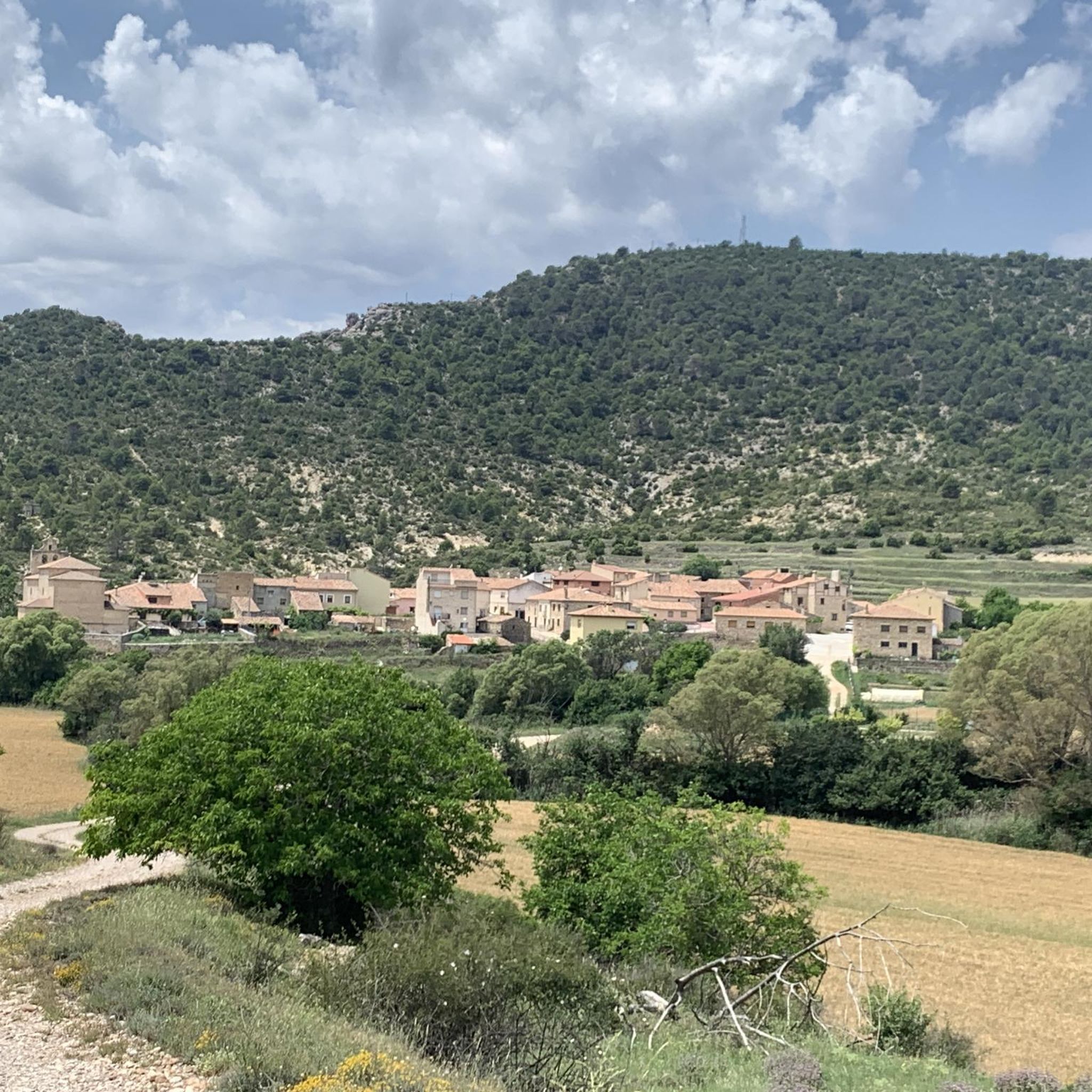
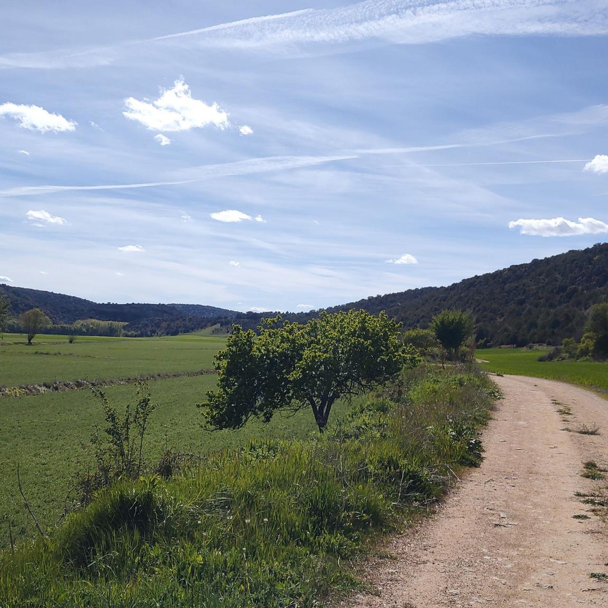
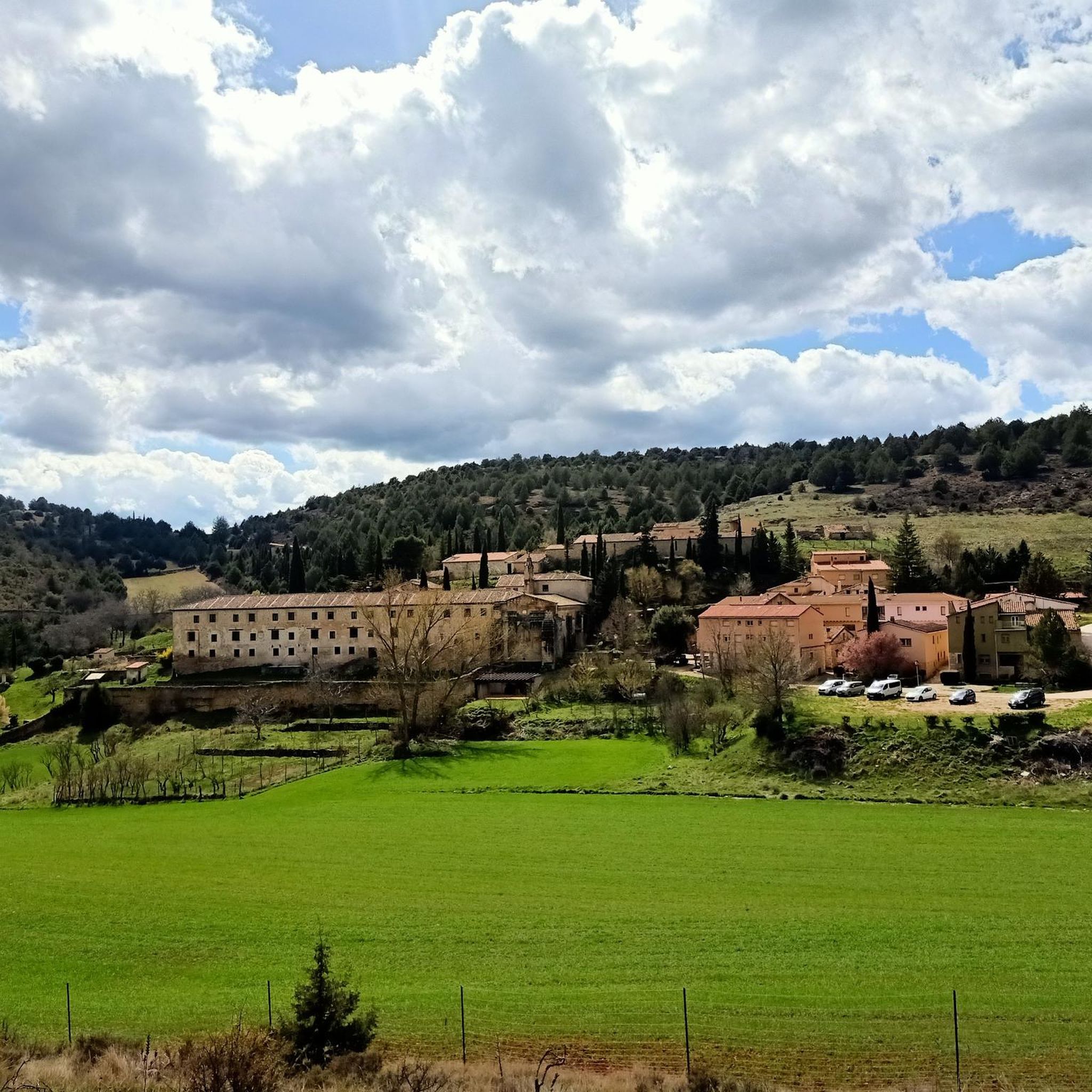
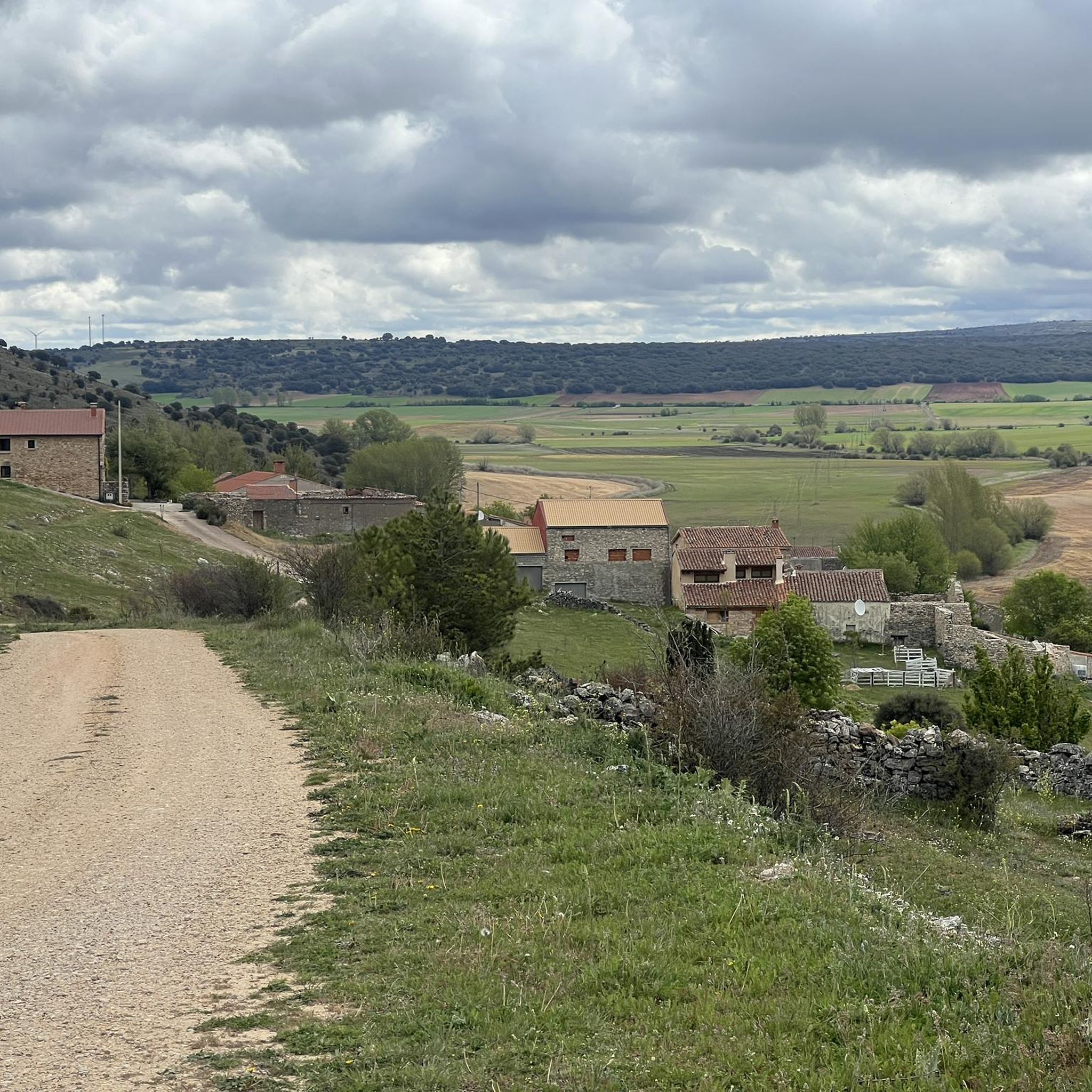
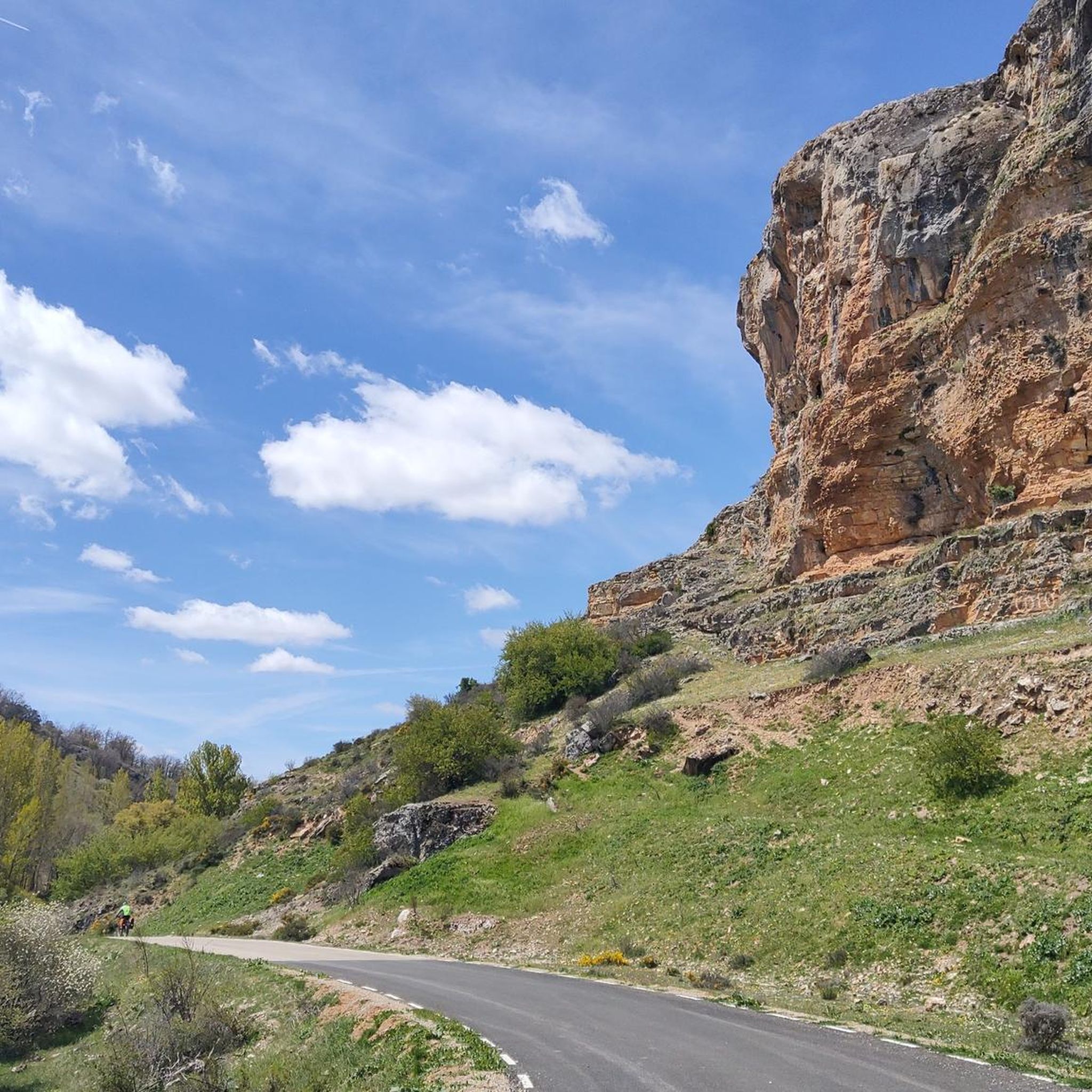
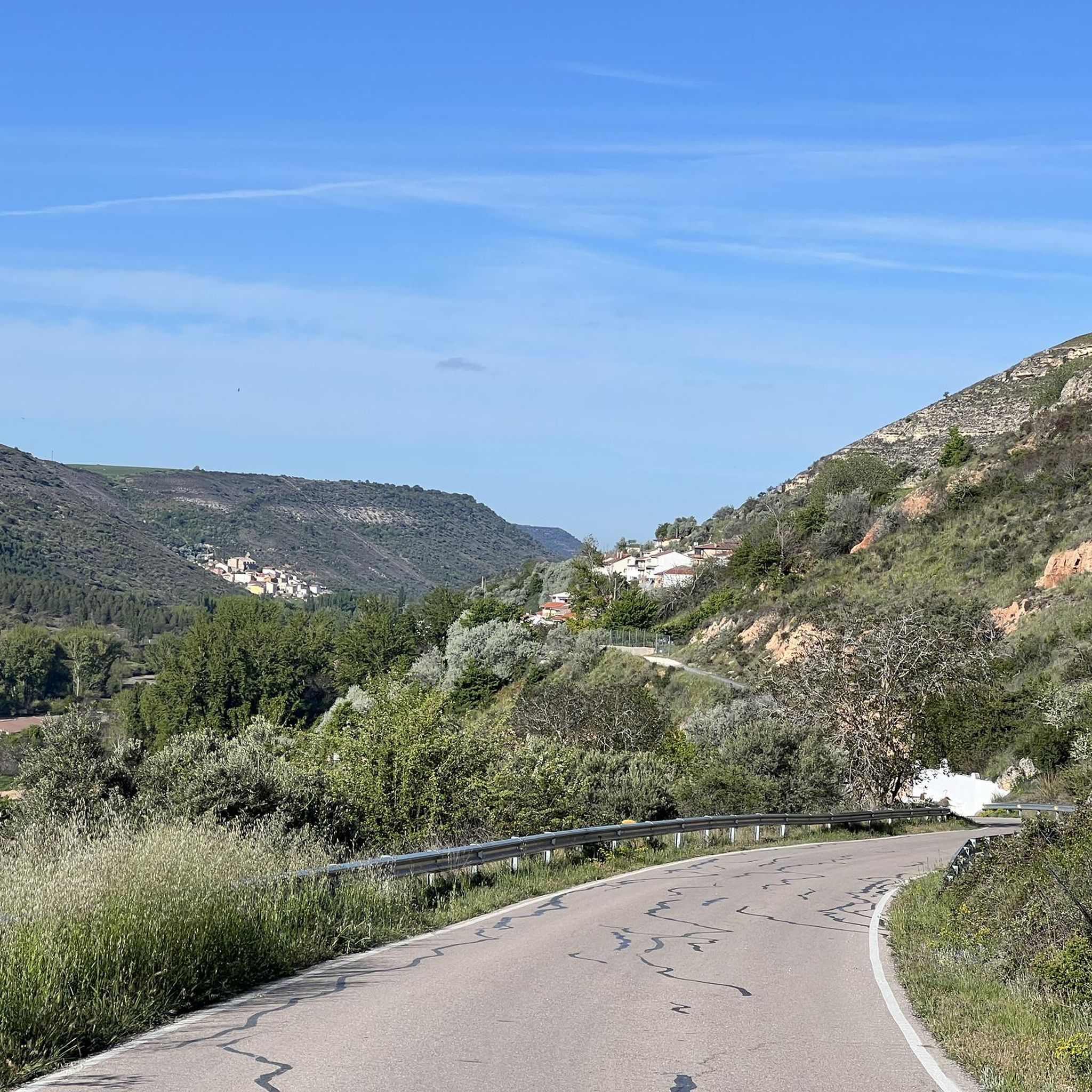
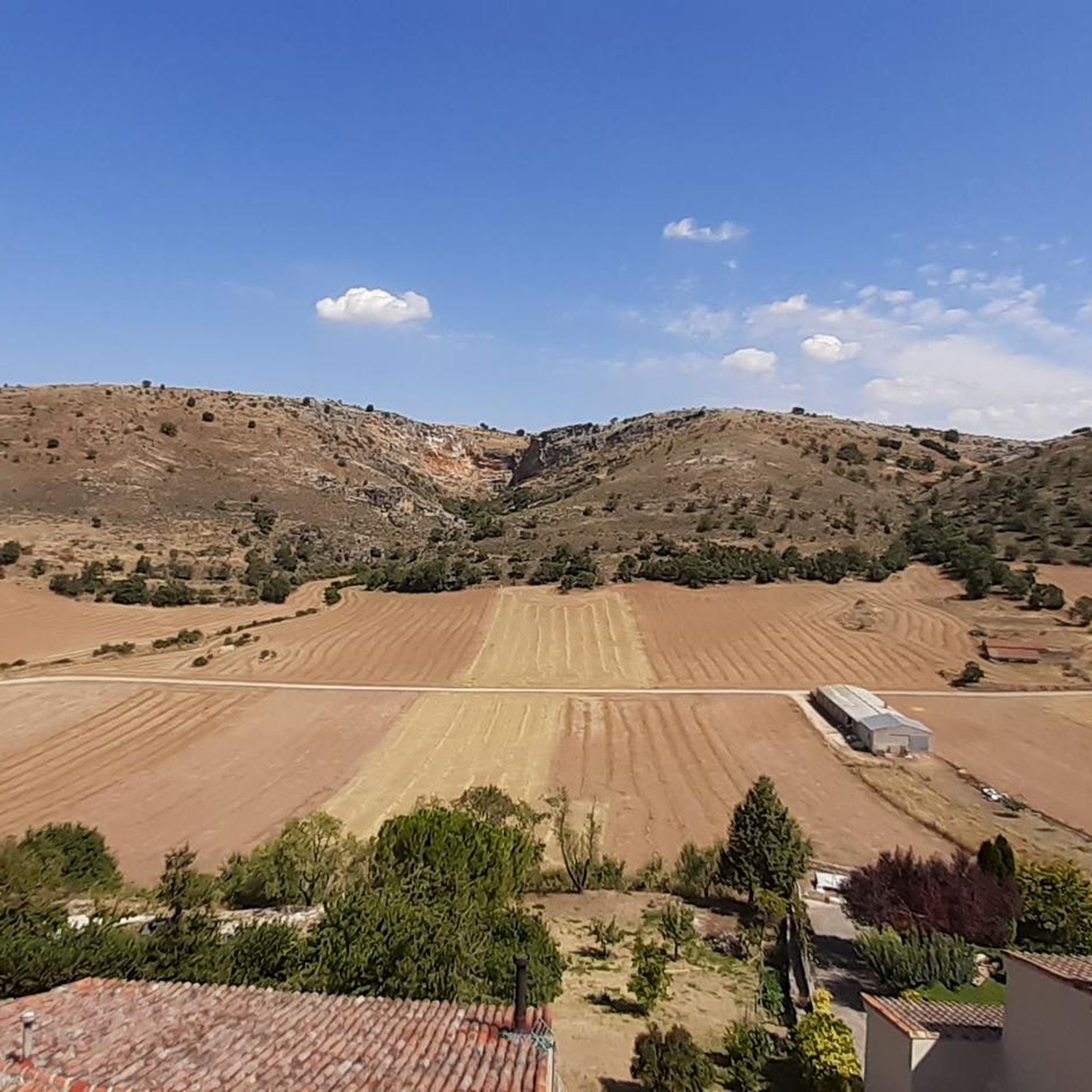
Hiking around Alcarria Alta offers diverse terrain shaped by the rising Sistema Ibérico, featuring undulating strata of limestones, gypsum, red sandstone, and conglomerate stones. The region is characterized by deep valleys and gorges carved by rivers like the Tagus, Tajuña, and Badiel, alongside numerous karst phenomena. Hikers can explore a landscape that includes picturesque river canyons, emblematic hills, and extensive lavender fields, providing varied natural features for outdoor activities.
Best hiking trails around Alcarria Alta
- The most popular hiking route…
Last updated: October 10, 2026
5.0
(1)
7
hikers
10.5km
02:50
130m
130m
Moderate hike. Good fitness required. Easily-accessible paths. Suitable for all skill levels.
4.5
(2)
6
hikers
11.8km
03:18
220m
220m
Moderate hike. Good fitness required. Easily-accessible paths. Suitable for all skill levels.

4.0
(2)
13
hikers
Moderate hike. Good fitness required. Mostly accessible paths. Sure-footedness required.
4.0
(2)
8
hikers
10.3km
02:55
220m
230m
Moderate hike. Good fitness required. Easily-accessible paths. Suitable for all skill levels.
5.0
(1)
5
hikers
12.0km
03:15
160m
160m
Moderate hike. Good fitness required. Easily-accessible paths. Suitable for all skill levels.
5.0
(2)
7
hikers
10.6km
03:04
250m
260m
Moderate hike. Good fitness required. Easily-accessible paths. Suitable for all skill levels.
1
hikers
12.9km
03:51
410m
410m
Moderate hike. Good fitness required. Easily-accessible paths. Suitable for all skill levels.
4.0
(1)
2
hikers
6.93km
01:57
150m
140m
Easy hike. Great for any fitness level. Easily-accessible paths. Suitable for all skill levels.
5.0
(1)
2
hikers
4.14km
01:36
260m
270m
Moderate hike. Great for any fitness level. Mostly accessible paths. Sure-footedness required.
3
hikers
15.2km
04:04
180m
180m
Moderate hike. Good fitness required. Easily-accessible paths. Suitable for all skill levels.
Get access to more routes and recommendations from other explorers.
Already have an account?
Our route recommendations are based on thousands of hikes, rides, and runs completed by other people on komoot.
Start today with a free account
Your next adventure awaits.
Other adventures around Alcarria Alta


Tips from the Community

Next to the cemetery
0
0
Precious village at any time of the year. With many fountains and water.
0
0

Although it is associated with El Cid, it was never related to the mercenary knight, but rather to the first Count of El Cid, Rodrigo Días de Vivar y Mendoza, a noble title granted by the Catholic Monarchs in 1492. This fortress, dating back to the High Middle Ages, watches over the Henares valley at the foot of the Alcarria Mountains. A natural paradise with a variety of altitudes.
0
0
On the banks of the Tagus River, at a crossroads, it is an ideal place to take a break on the route. If you approach the riverbank, you will be surprised by its majesty and bravery.
0
0
Giant awnings that have been formed "miraculously." A landscape of great beauty.
0
0
Perhaps the best prehistoric cave in Spain. With three rooms or spaces connected by corridors. Many types of animals, some of them in relief.
0
0
There is never a shortage of water in this waterfall, as it is fed by water from the Fountain, which in turn is fed by the overflow of a water tank.
0
0
It is a unique, curious, extraordinary, beautiful, nice, very special place.
0
0
Frequently Asked Questions
How many hiking trails are available in Alcarria Alta?
Alcarria Alta offers a diverse network of nearly 40 hiking trails. These routes cater to various skill levels, including 9 easy, 26 moderate, and 2 difficult options, ensuring there's a suitable path for every hiker.
What is the best time of year to go hiking in Alcarria Alta?
The best seasons for hiking in Alcarria Alta are spring and autumn. During these times, the weather is generally pleasant, and the natural landscapes, from river valleys to lavender fields, are particularly vibrant.
Are there any circular hiking routes in Alcarria Alta?
Yes, Alcarria Alta features several excellent circular routes. For instance, the Peñascos de los Frailes — circular desde Las Inviernas is a moderate 11.8 km trail offering views of unique rock formations. Another popular choice is the Civica and Civica waterfall - circular along the Tajuña river, a 10.5 km route that takes you through picturesque river valleys and past waterfalls.
Can I find hikes with waterfalls in Alcarria Alta?
Absolutely. The region is known for its beautiful river systems, and you can find trails that lead to impressive waterfalls. The Civica and Civica waterfall - circular along the Tajuña river is a prime example, offering a scenic walk along the Tajuña River and past the Civica waterfall. The Cifuentes River in Trillo is also famous for its picturesque cascades.
What kind of natural features can I expect to see on hikes in Alcarria Alta?
Hiking in Alcarria Alta reveals a rich tapestry of natural features. You'll encounter deep valleys and gorges carved by rivers like the Tagus and Tajuña, unique karst phenomena, and limestone formations. Iconic landmarks include the 'Tetas de Viana' twin hills near Trillo, offering panoramic views, and the extensive lavender fields of Brihuega, which are particularly stunning in July.
Are there any historical or cultural landmarks to explore while hiking?
Yes, Alcarria Alta is rich in history and culture. Many trails connect charming towns with medieval character. For example, Brihuega, known as the 'Garden of Alcarria,' features well-preserved medieval walls and the Piedra Bermeja Castle. You can also explore ancient caves and castle ruins near Mandayona, or visit the historic Castillo de Jadraque on a circular route from Jadraque.
What do other hikers say about the trails in Alcarria Alta?
The trails in Alcarria Alta are highly regarded by the komoot community, with an average rating of 4.6 stars from over 80 reviews. Hikers frequently praise the diverse terrain, from river valleys to rock formations, and the opportunity to explore both natural beauty and charming villages.
Are there any easy hiking routes suitable for beginners or families?
Yes, Alcarria Alta offers 9 easy hiking routes perfect for beginners or families. These trails provide a gentle introduction to the region's beauty without significant elevation challenges. For example, the Castillo de Jadraque — circular from Jadraque is an easy 6.9 km route that allows you to enjoy the scenery at a relaxed pace.
Can I combine hiking with exploring local attractions like caves or castles?
Absolutely. Alcarria Alta is dotted with fascinating attractions that can be integrated into your hiking plans. You can find trails near historical sites like the Mandayona Village, which has ancient caves and castle ruins. The region also features several castles, such as those in Brihuega or Castillo de Torija, offering a blend of outdoor activity and cultural exploration.
Are there any hikes that feature the famous lavender fields?
Yes, if you visit in July, you can experience the stunning lavender fields. The Jardín de La Alcarria — circular through the lavender fields of Brihuega is a moderate 12 km route specifically designed to showcase these vibrant and aromatic landscapes around Brihuega.
What are some notable viewpoints or panoramic spots in Alcarria Alta?
For spectacular panoramic views, consider hiking towards the 'Tetas de Viana' near Trillo. These twin hills are an emblematic landmark of Alcarria Alta, and one of them is accessible via a rustic metal staircase, rewarding you with breathtaking vistas of the surrounding region.
Most popular routes around Alcarria Alta
Most popular attractions around Alcarria Alta

Get inspired with the komoot mobile app


Didn’t find what you were looking for?
Check out more Hikes throughout Alcarria Alta below and find the perfect route in your destination.
Explore more
Browse the best Hikes in other regions.
