The best running trails around Serrania Alta
4.9
(21)
1,377
runners
134
runs
Jogging around Serrania Alta offers diverse terrain within the province of Cuenca, Spain, characterized by its well-preserved natural landscapes. The region features a mountain landscape with spectacular rock formations, ravines, and river gorges, providing varied routes for runners. Extensive pine forests create shaded trails, while karstic formations like the "Ciudad Encantada" offer unique visual experiences. Rivers such as the Júcar flow through the area, contributing to scenic riverside paths.
Best jogging routes around Serrania Alta
- The most popular jogging route…
Last updated: June 23, 2026
5.0
(3)
122
runners
7.09km
00:47
120m
120m
Moderate run. Good fitness required. Mostly paved surfaces. Suitable for all skill levels.
16
runners
Hard run. Very good fitness required. Mostly accessible paths. Some sure footedness required.

Sign up for free
8
runners
Moderate run. Great for any fitness level. Mostly accessible paths. Some sure footedness required.
5
runners
Easy run. Great for any fitness level. Mostly paved surfaces. Suitable for all skill levels.
5
runners
16.0km
02:04
330m
330m
Hard run. Very good fitness required. Mostly accessible paths. Some sure footedness required.
4
runners
13.2km
01:45
320m
320m
Hard run. Very good fitness required. Mostly accessible paths. Some sure footedness required.
4
runners
9.96km
01:12
110m
110m
Moderate run. Good fitness required. Mostly accessible paths. Some sure footedness required.
2
runners
4.27km
00:32
160m
150m
Moderate run. Good fitness required. Mostly accessible paths. Some sure footedness required.
3
runners
Moderate run. Good fitness required. Mostly accessible paths. Some sure footedness required.
1
runners
7.34km
00:53
150m
140m
Moderate run. Good fitness required. Mostly accessible paths. Some sure footedness required.
Get access to more routes and recommendations from other explorers.
Sign up for free
Already have an account?
Our route recommendations are based on thousands of hikes, rides, and runs completed by other people on komoot.
Start today with a free account
Your next adventure awaits.
Login or Signup
Popular around Serrania Alta
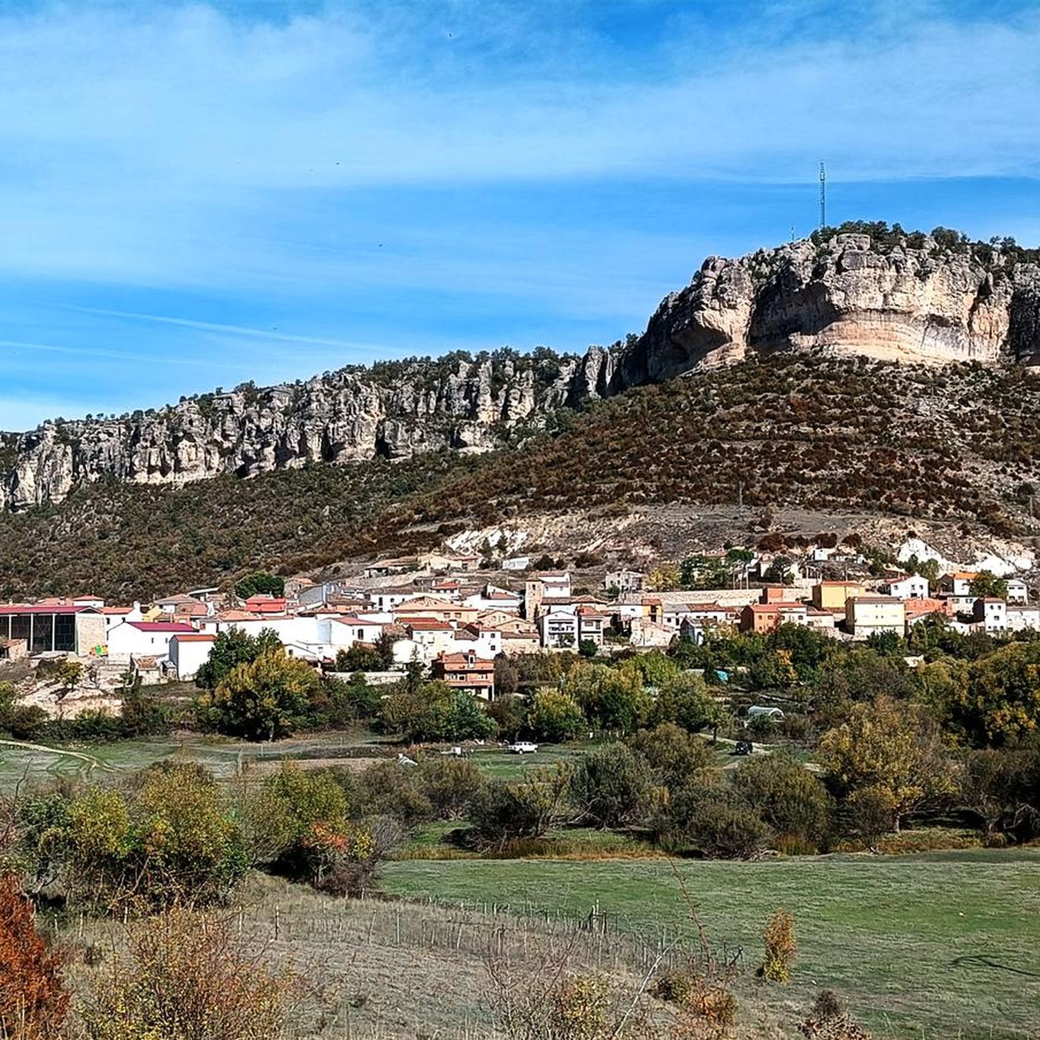
Running Trails around Santa María Del Val
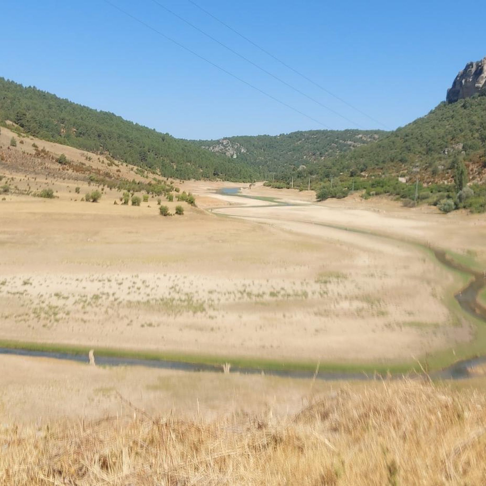
Running Trails around Poyatos
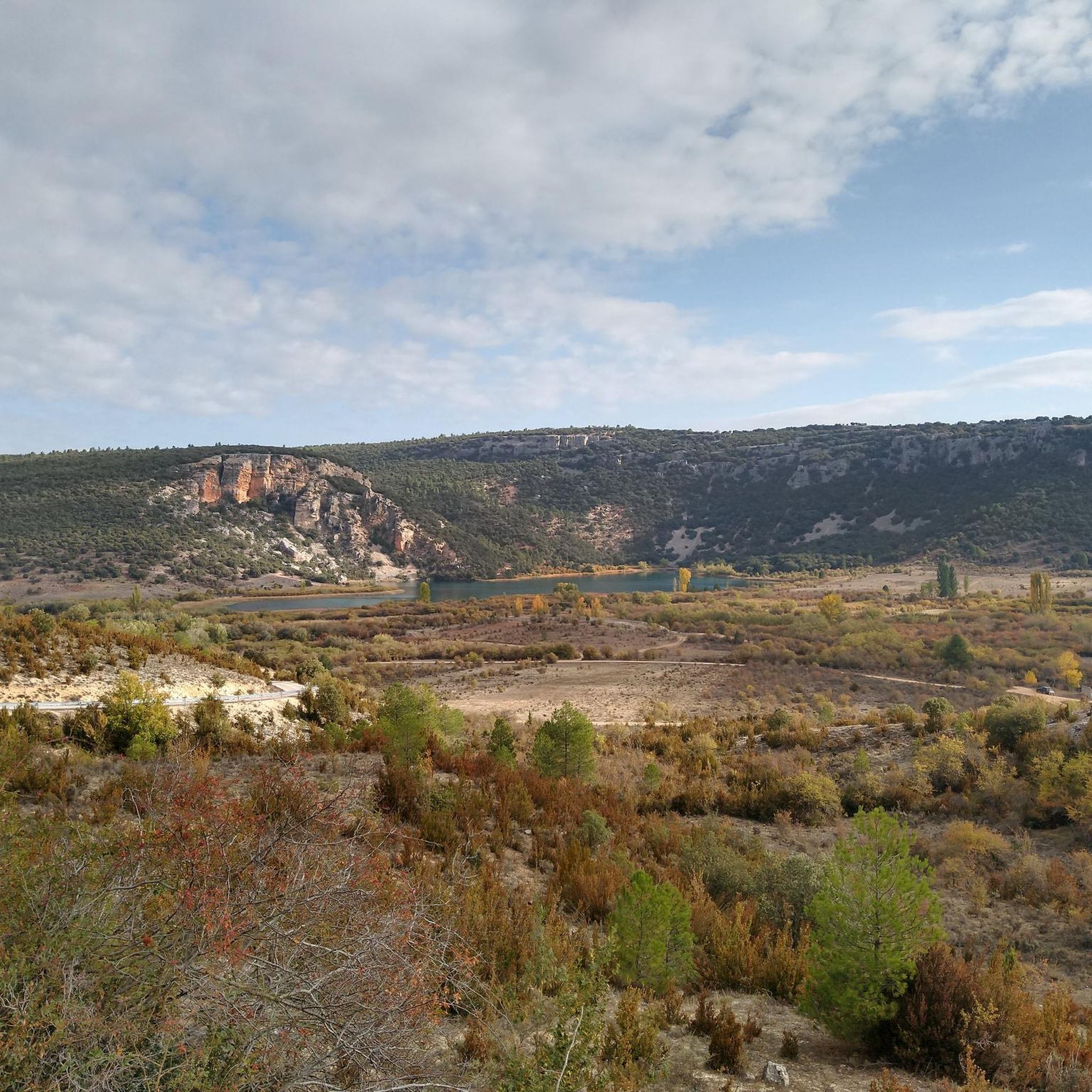
Running Trails around Beteta
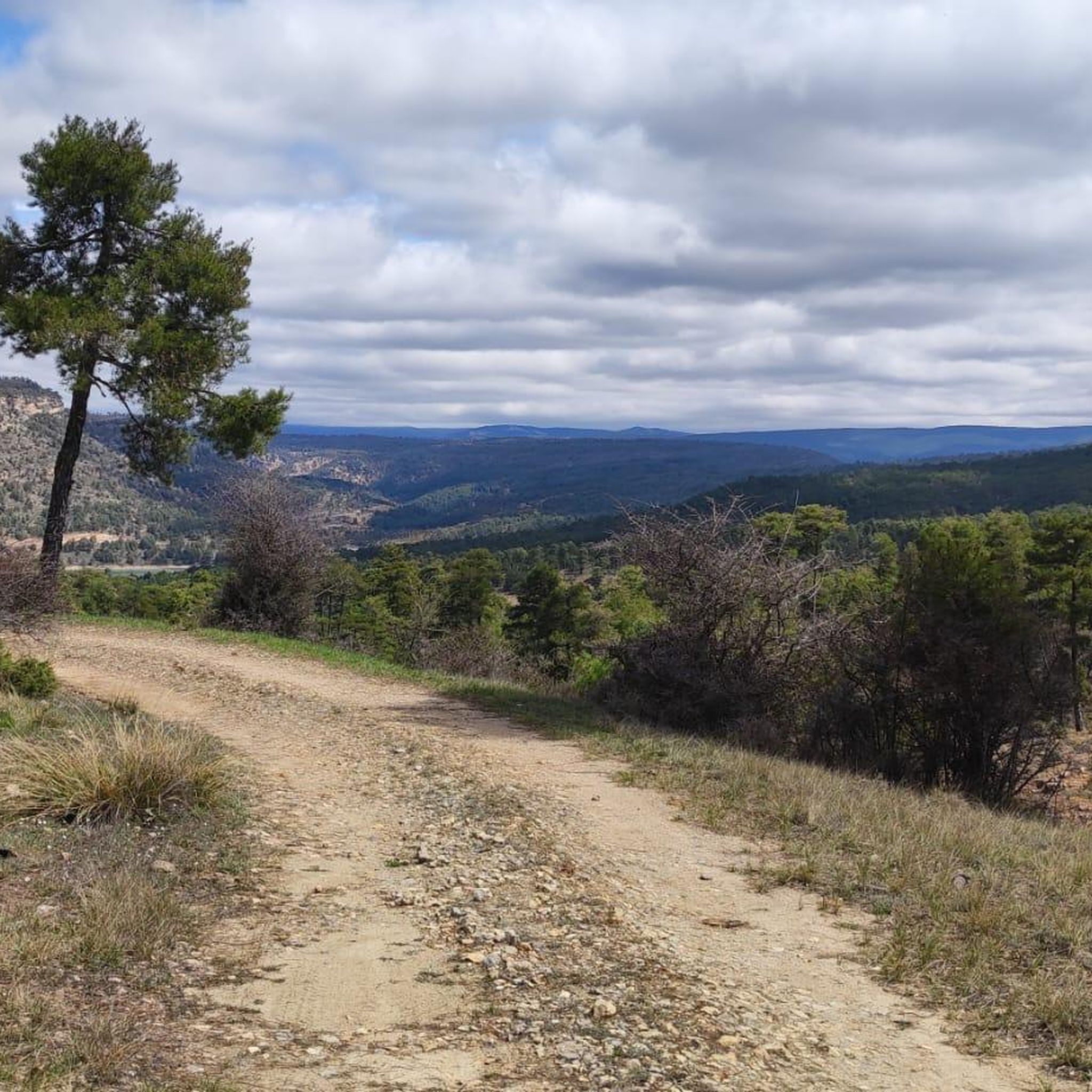
Running Trails in Serrania De Cuenca
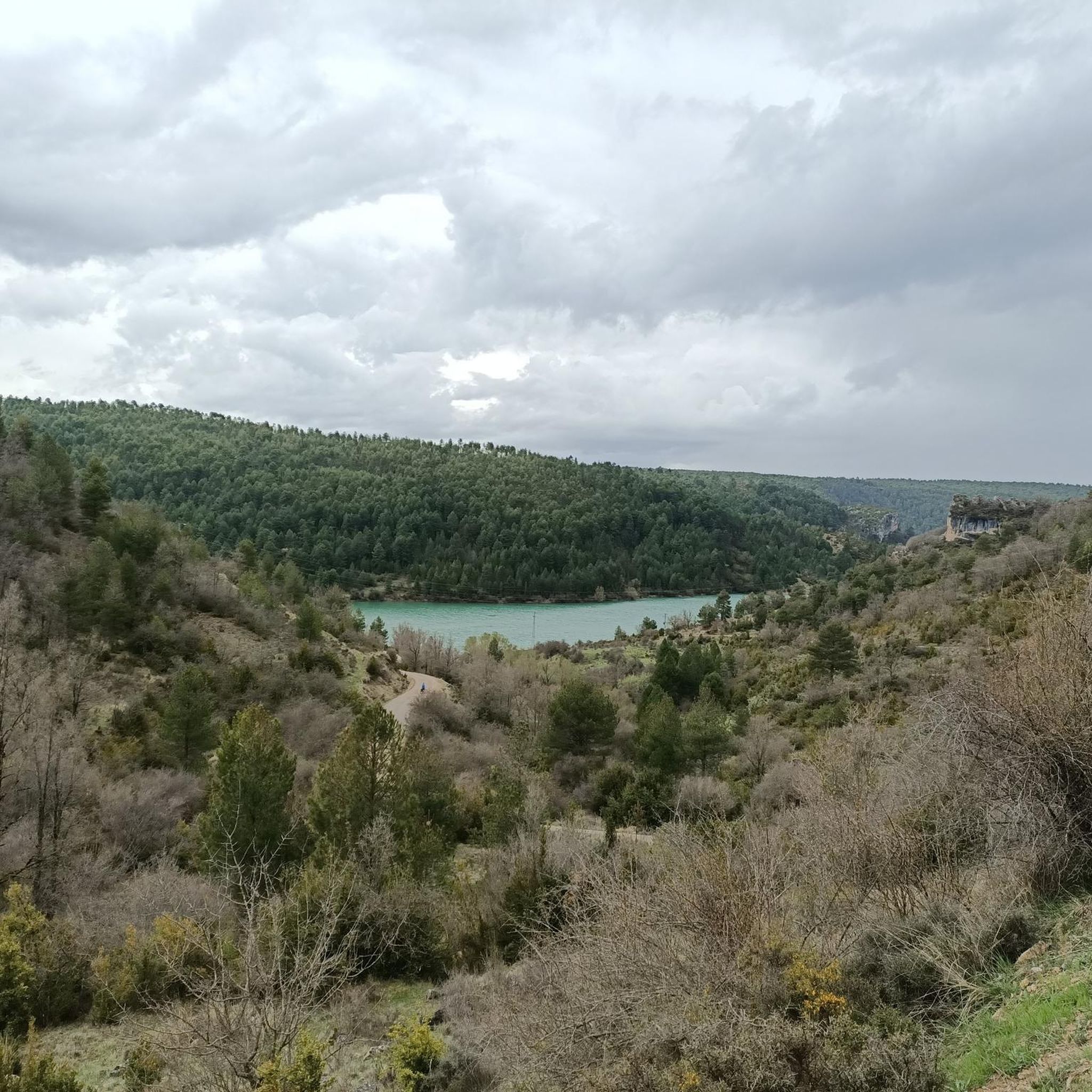
Running Trails around Cañizares
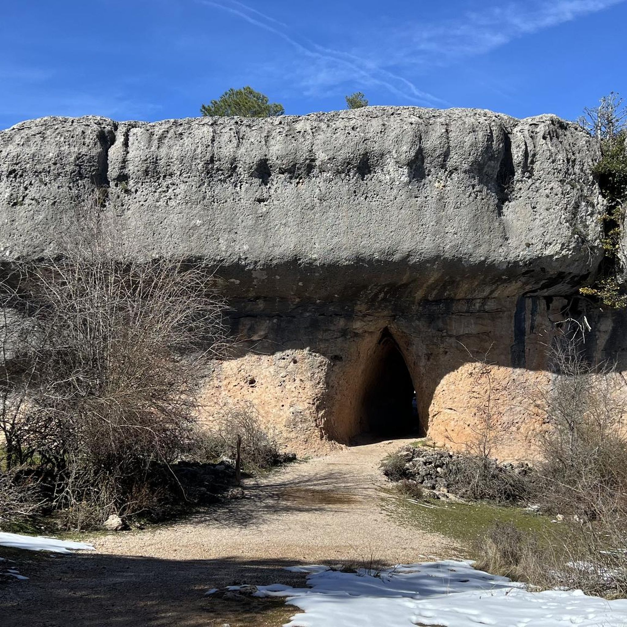
Running Trails around Valdecabras
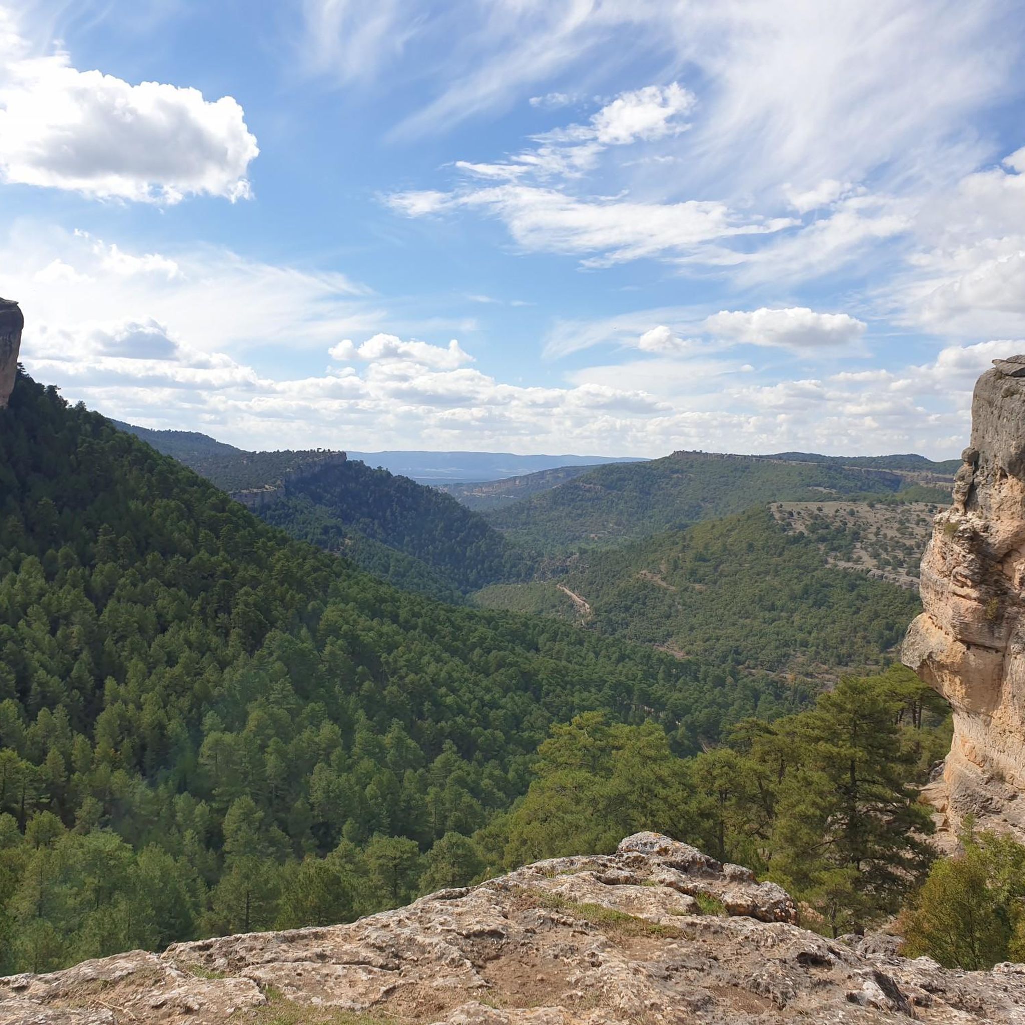
Running Trails around Las Majadas
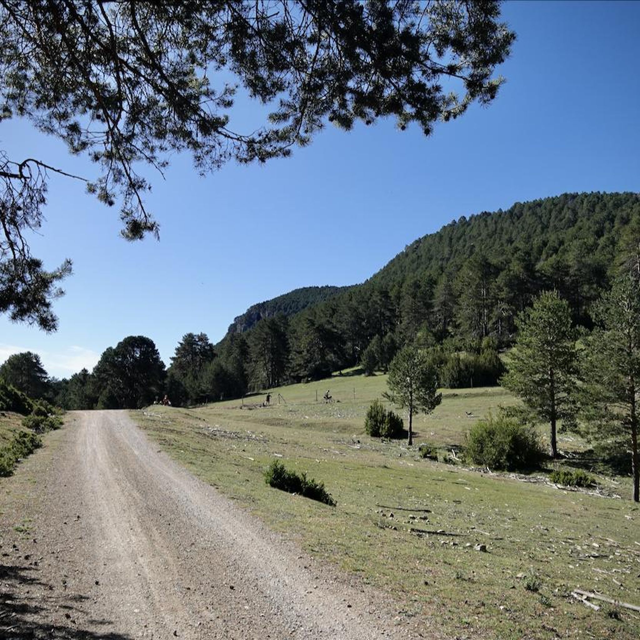
Running Trails around Tragacete
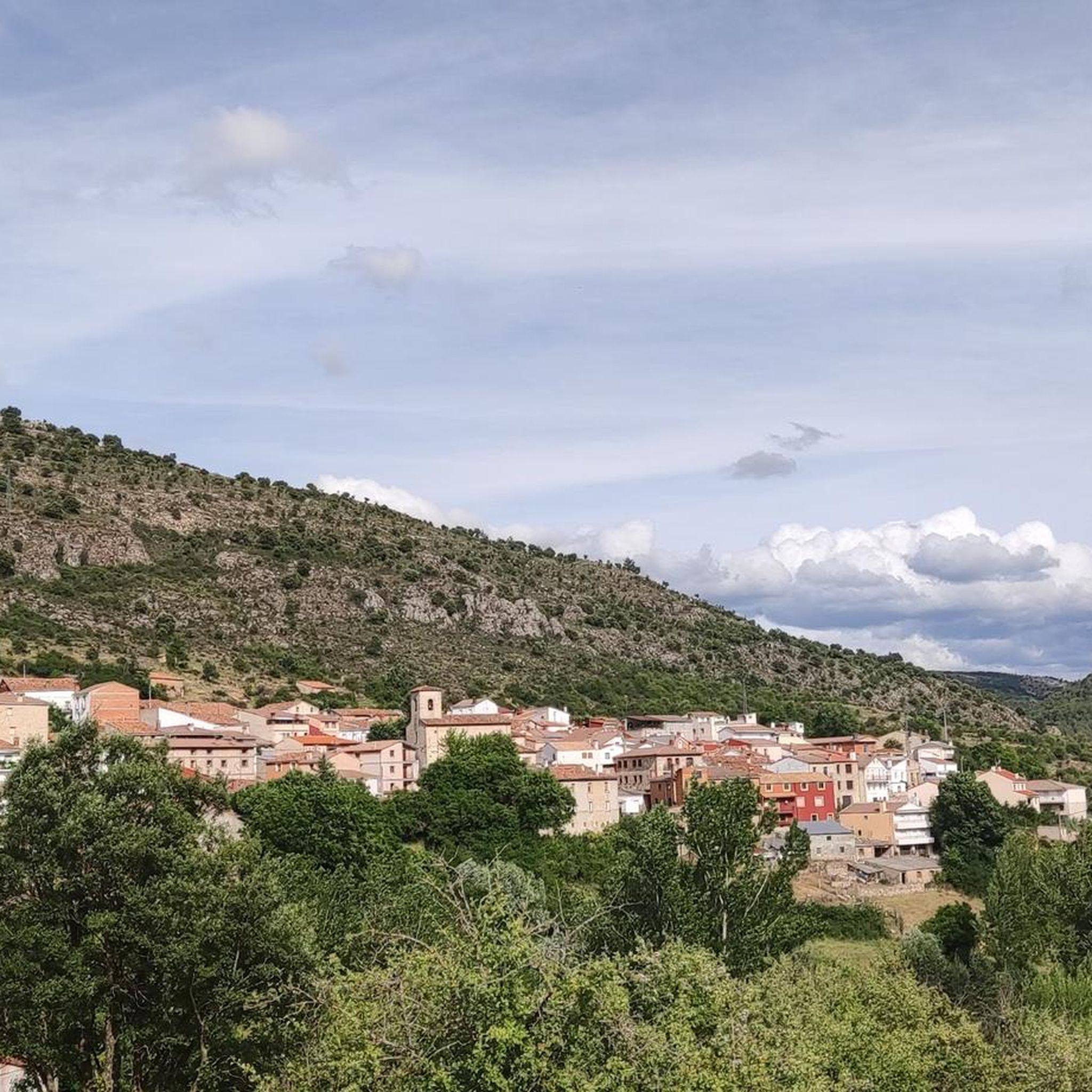
Running Trails around Carrascosa
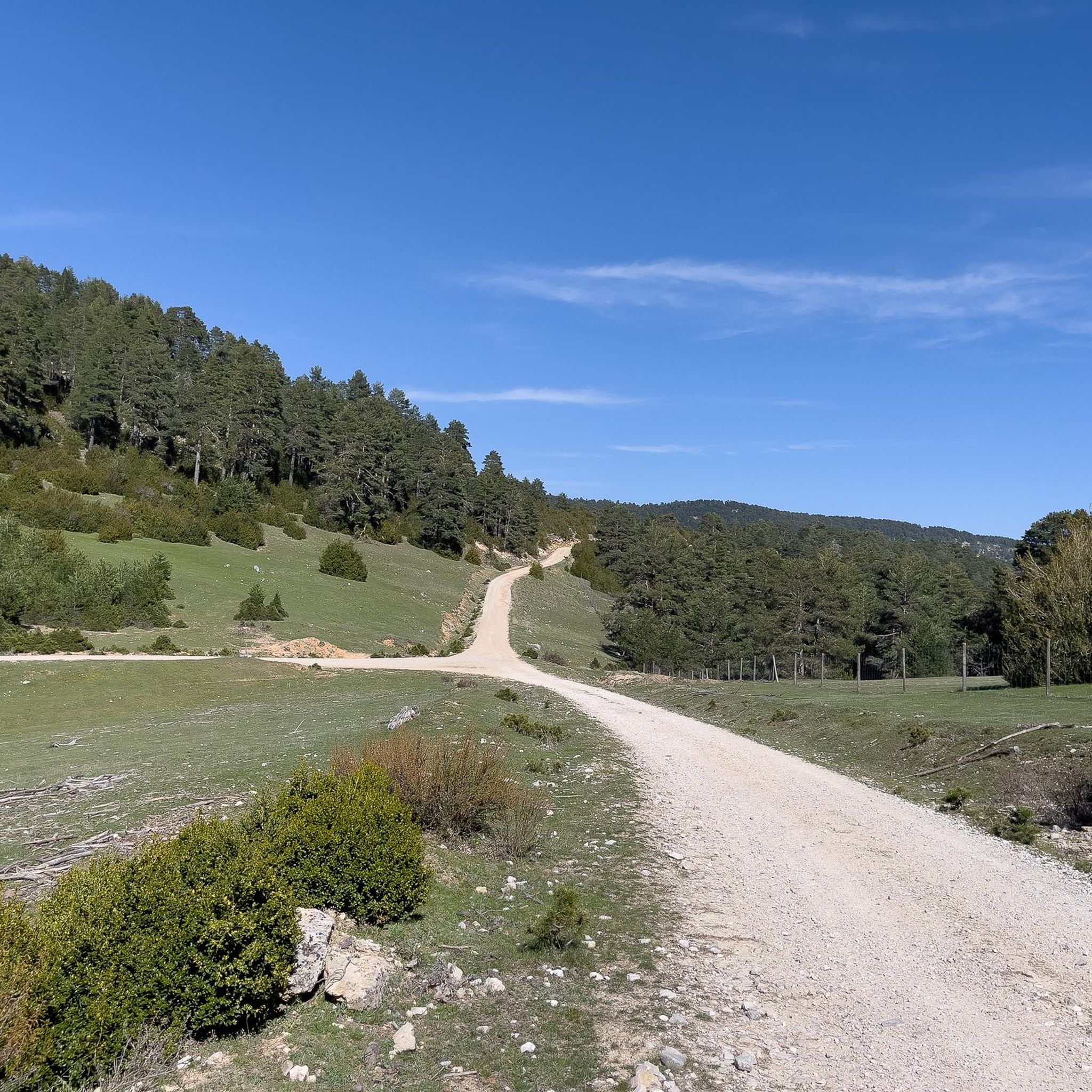
Running Trails around Vega Del Codorno
Other adventures around Serrania Alta


Tips from the Community

Be careful when starting the descent from the peak to the village; it's easy to leave the path. The gradient is 16%.
0
0

Cerro de San Cristóbal is a peak in Cuenca, Castilla-La Mancha, with an altitude of 1,187 metres. It is a popular location for outdoor activities, such as hiking and cycling, offering spectacular views of the city and its surroundings.
4
0
This place stands out for its karst formations, created by the erosion of the Upper Cretaceous limestone rocks. The action of water, ice, wind and temperature variations have sculpted passages, arches, monoliths and bridges, creating a landscape similar to that of the Enchanted City, although smaller in size.
6
0

Upper part of La Hoz Somera. Landscape of the wild and beautiful environment.
0
1
Laguna de Uña is a rich ecosystem of flora and fauna that is located at 1,150 meters of altitude, 34 km from the city of Cuenca. It occupies an area of about 15 hectares, which extends at the confluence of the Rincón stream with the Júcar river. This lagoon is located in the heart of the Serranía de Cuenca Natural Park, in a karst terrain where it is almost a miracle that the waters do not leak. Its formation is due to the construction of canals and dams in the 20th century. Laguna de Uña awaits you with its charm and beauty! 🌿🌊
1
1
From it you can see a large part of the Cuenca Mountains and the entire valley of the Escabas River.
0
0
The Lagoon is the Center of the entire Landscape. The route runs mainly around it.
1
0
The Molino de Chincha Reservoir, located in the province of Cuenca, in the Carrascosa region, is an impressive place surrounded by nature. The reservoir has a capacity of 6 cubic hectometers (hm³)
2
0
Frequently Asked Questions
How many running routes are available in Serrania Alta?
Serrania Alta offers a wide selection of over 125 running routes. These trails cater to various fitness levels, ranging from easy paths to more challenging runs through its diverse landscapes.
What kind of terrain can I expect on the running trails in Serrania Alta?
You'll find a varied terrain in Serrania Alta, characterized by a mountain landscape with spectacular rock formations, ravines, and river gorges. The region is famous for its unique karstic formations, extensive pine forests, and scenic riverside paths along rivers like the Júcar, offering a visually engaging and diverse running experience.
Are there any easy or beginner-friendly running routes in Serrania Alta?
Yes, Serrania Alta has several easy routes perfect for beginners or those looking for a relaxed run. For example, the Parque Natural de la Serranía de Cuenca – circular by Los Callejones de Las Majadas is an easy 2.3-mile (3.7 km) path that winds through unique karstic rock formations.
Can I find circular running routes in the region?
Absolutely. Many routes in Serrania Alta are circular, allowing you to start and end in the same location. A popular option is the Cuenca - running circular along the Jucar river path, a moderate 4.4-mile (7.1 km) trail following the scenic Júcar river.
What are some scenic highlights or natural attractions I can see while running?
Serrania Alta is rich in natural beauty. You can run through areas with impressive karstic formations like the 'Ciudad Encantada' or 'Los Callejones de Las Majadas'. The region also features lush pine forests and dramatic river gorges. Don't miss the opportunity to see the stunning Cuervo River Waterfall or the Enchanted City, which are highlights in the area.
Are there any running routes that pass by waterfalls?
Yes, the region is known for its beautiful waterfalls and rivers. The 'Nacimiento del Río Cuervo' (Source of the Cuervo River) is a dreamlike spot with a main waterfall over 20 meters high. You can explore routes like the Cascada Campana del Tío Mil Hombres – running circular by sendero del Cañizar to experience these natural wonders.
What do other runners say about the trails in Serrania Alta?
The running routes in Serrania Alta are highly rated by the komoot community, with an average score of 4.9 stars from over 20 reviews. Runners often praise the pristine natural environment, the variety of terrain, and the opportunity to immerse themselves in nature without urban distractions.
Are there any running trails suitable for families?
Many of the easier and moderate routes are suitable for families, especially those looking for a leisurely jog or walk. Trails that are relatively flat and shorter, such as the circular routes around natural parks, can be great options for a family outing. The Parque Natural de la Serranía de Cuenca – running circular to Laguna de Uña is a moderate option that is relatively short.
Are dogs allowed on the running trails in Serrania Alta?
While many natural areas in Spain are dog-friendly, it's always best to check specific park regulations or individual trail rules regarding dogs, especially within the Serranía de Cuenca Natural Park. Generally, dogs are welcome on trails if kept on a leash, but some protected areas might have restrictions. Always ensure your dog is under control and clean up after them.
What is the best time of year to go running in Serrania Alta?
Serrania Alta offers pleasant running conditions for much of the year. Spring and autumn provide mild temperatures and beautiful scenery. During summer, the extensive pine forests offer shaded trails, making it possible to run even on warmer days. Winter running is also possible, though some higher or more exposed trails might require appropriate gear due to colder temperatures or potential snow.
Are there any longer, more challenging running routes for experienced runners?
Yes, for experienced runners seeking a challenge, Serrania Alta offers several difficult routes. The Dehesa de los Olmos Trail is a difficult 9.9-mile (16.0 km) trail leading through dense forests, typically taking over two hours to complete. Another challenging option is the Las Fuentecillas and Los Callejones Route, which is over 13 km long.
Are there any charming villages or places to explore near the running routes?
Yes, the region is home to charming villages like Beteta, Cañizares, and Tragacete, which can serve as excellent starting points or scenic breaks during your runs. These villages often offer local amenities and a glimpse into the traditional life of the area. You can also visit the historic city of Cuenca, with its famous San Pablo Bridge and Cuenca Cathedral.
Most popular routes around Serrania Alta
Most popular attractions around Serrania Alta

Get inspired with the komoot mobile app


Didn’t find what you were looking for?
Check out more Running Trails & Routes throughout Serrania Alta below and find the perfect route in your destination.
Explore more
Browse the best Running Trails & Routes in other regions.
