The best walks and hikes around Tudanca-Cabuerniga
4.3
(1755)
10,133
hikers
75
hikes
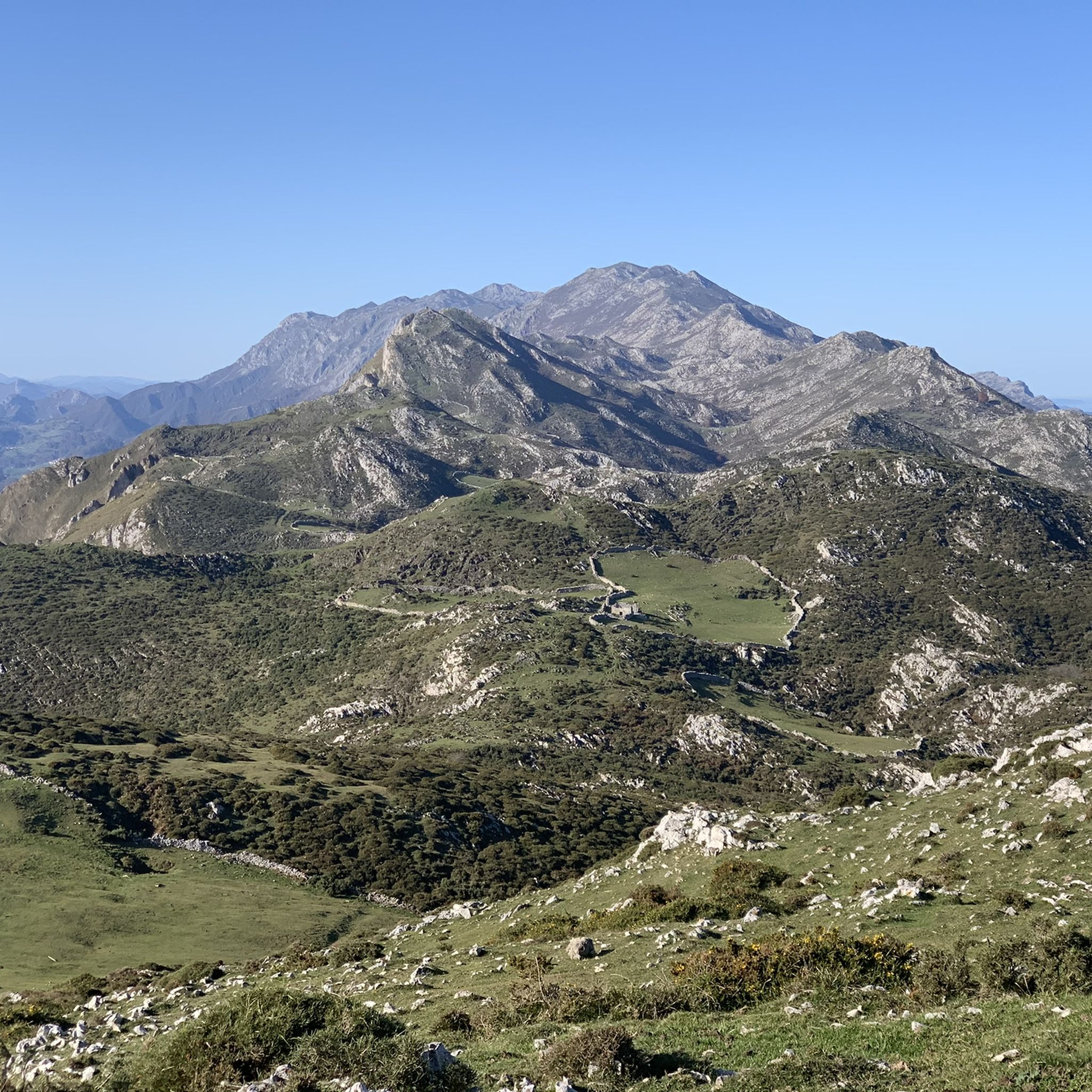
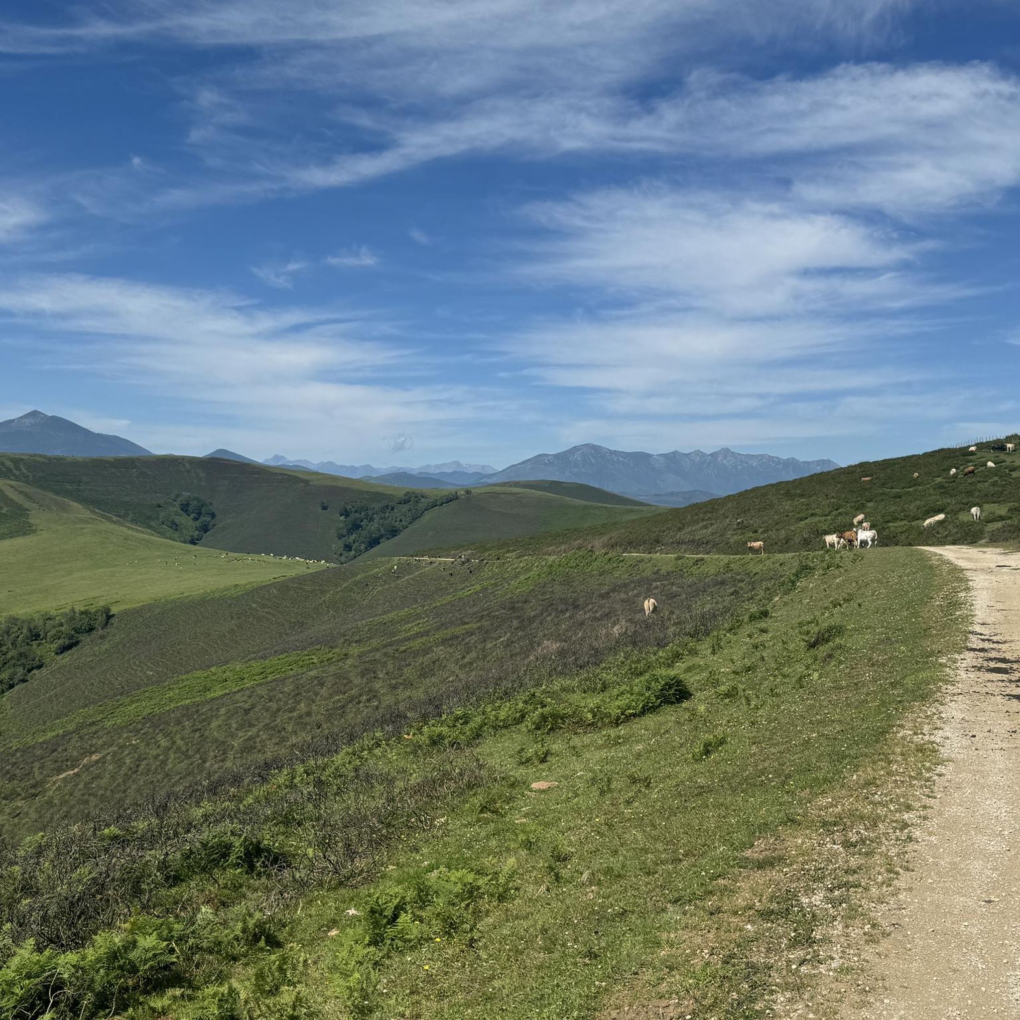
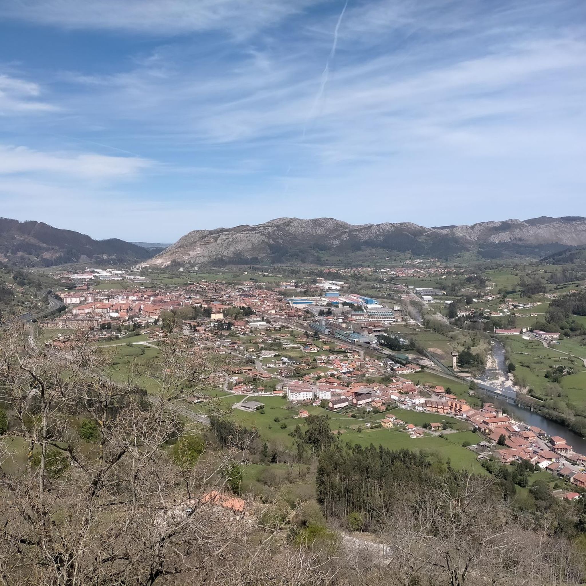
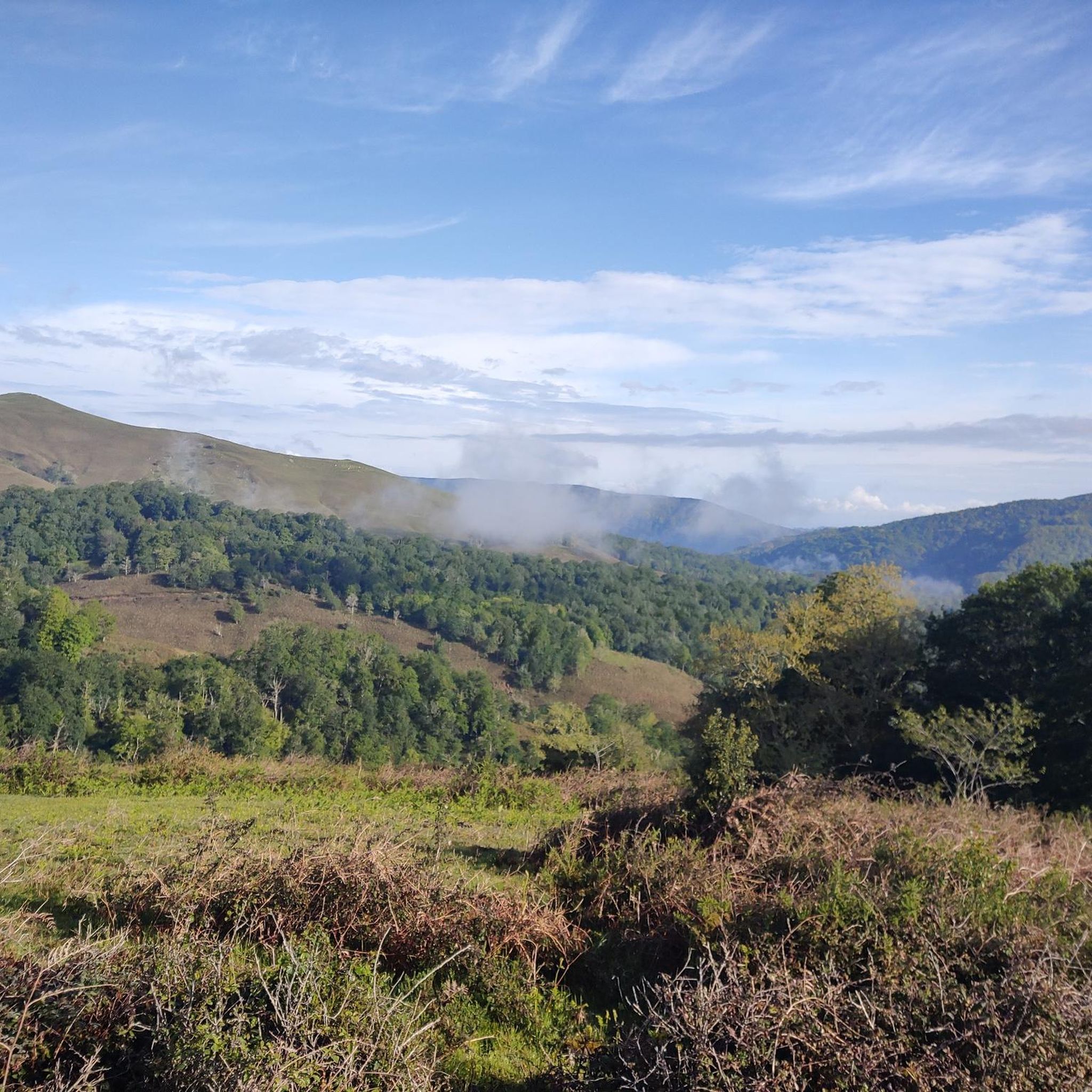
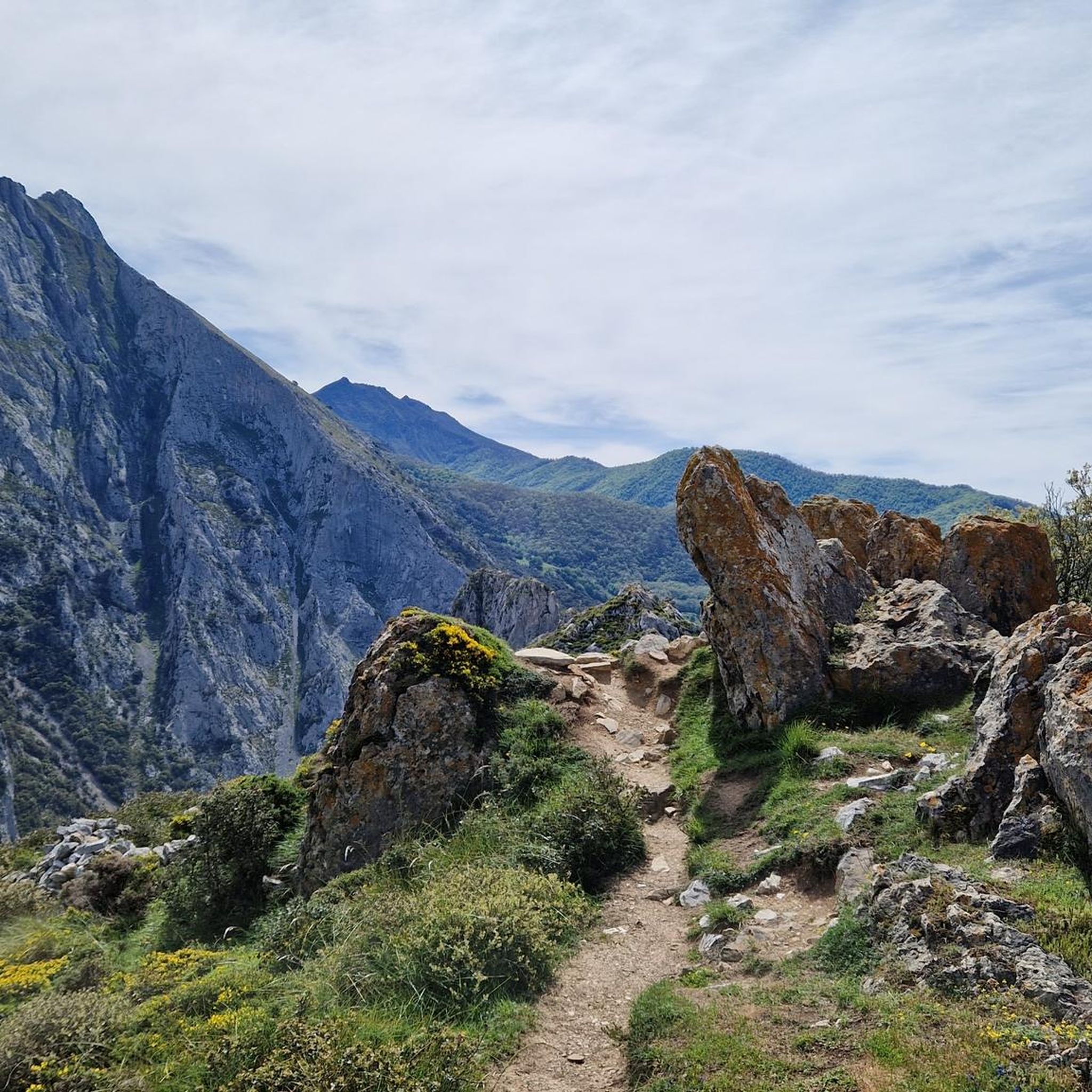
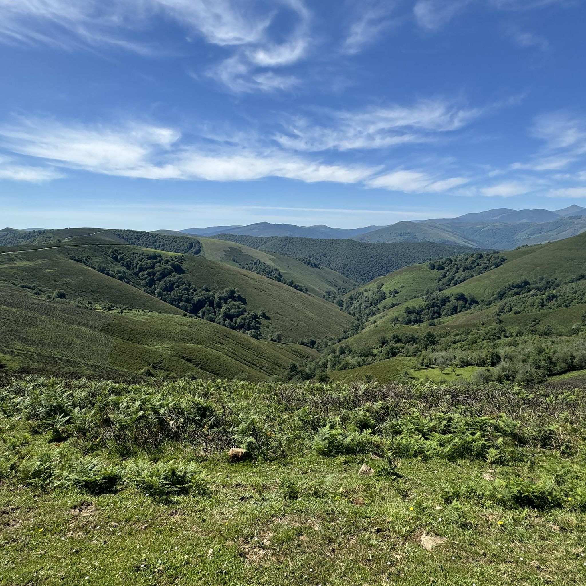
Hiking around Tudanca-Cabuerniga offers diverse landscapes within the western part of Cantabria. The region is characterized by mountainous terrain, including peaks and high plateaus, and is home to the Saja-Besaya Natural Park. Trails often follow rivers like the Saja, pass through dense beech forests, and lead to features such as waterfalls and natural springs. The varied topography provides a range of hiking experiences from river valleys to elevated viewpoints.
Best hiking trails around Tudanca-Cabuerniga
- The most popular hiking route is…
Last updated: October 13, 2026
4.8
(32)
304
hikers
15.2km
06:41
1,000m
1,000m
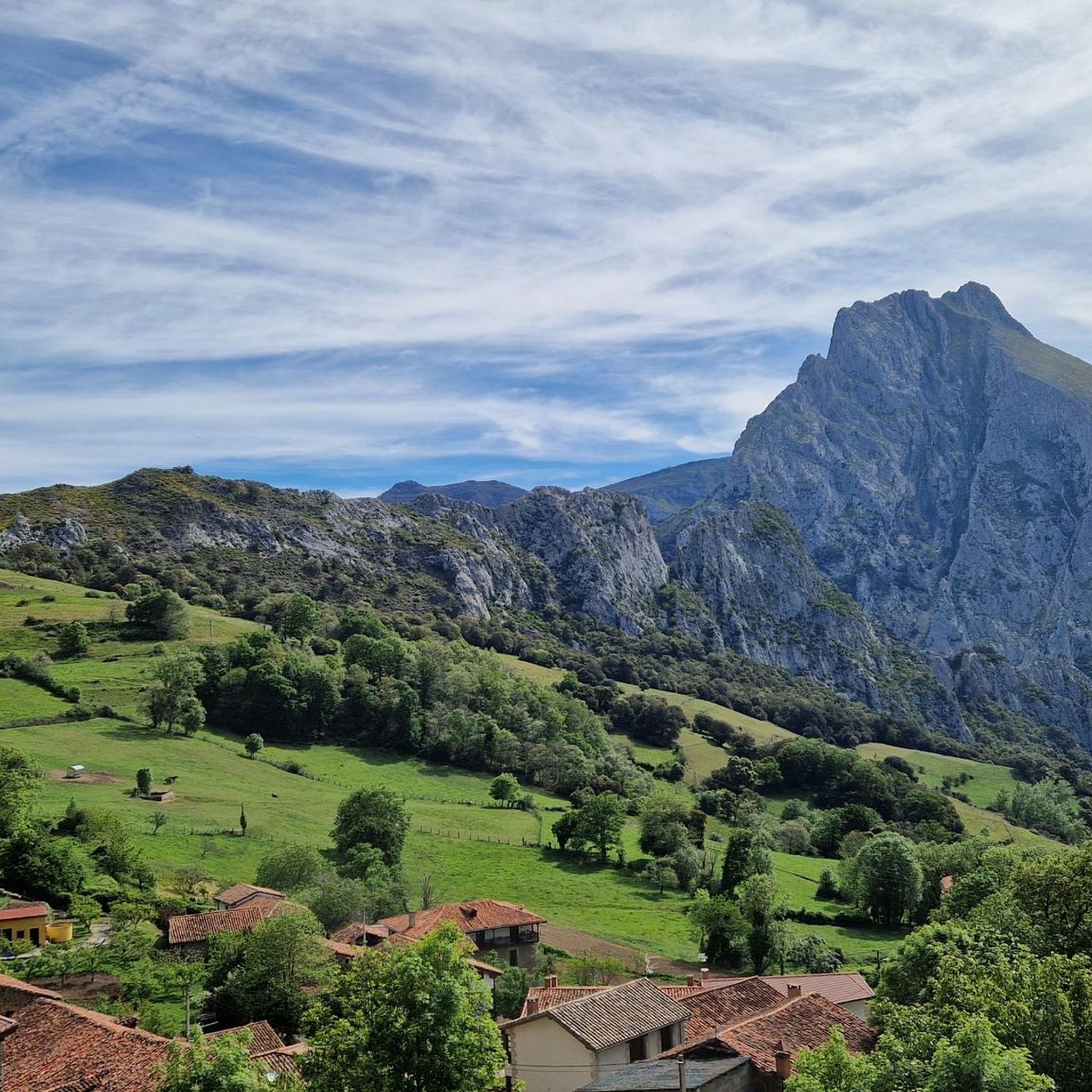
The Urdón - Tresviso route is a challenging but incredibly rewarding hike in the Picos de Europa. You'll immerse yourself in the stunning Urdón gorge, with its rocky walls and…
4.7
(37)
195
hikers
8.32km
02:22
180m
190m
Moderate hike. Good fitness required. Easily-accessible paths. Suitable for all skill levels.

4.7
(30)
186
hikers
15.6km
04:30
390m
390m
Hike the moderate 9.7-mile Bridges Route in Parque Natural Saja-Besaya, crossing streams and exploring deciduous forests in 4h 30m.
4.9
(8)
59
hikers
17.2km
07:52
1,330m
1,330m
Hard hike. Very good fitness required. Mostly accessible paths. Sure-footedness required.
4.5
(11)
78
hikers
6.98km
01:53
90m
90m
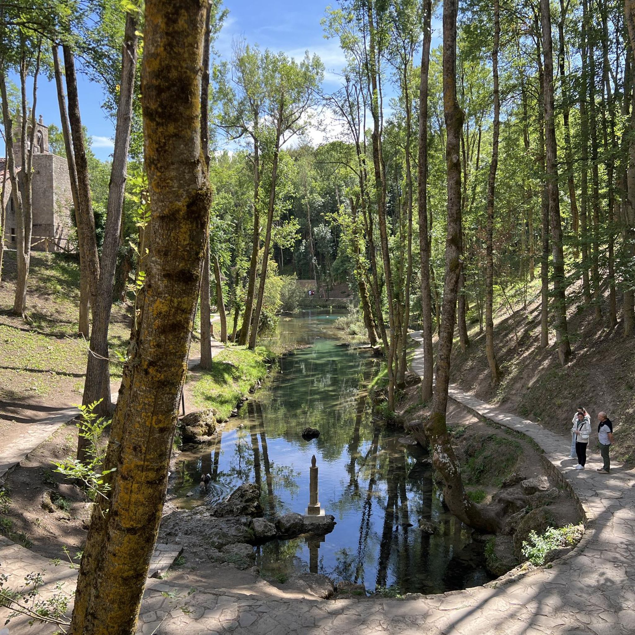
Enjoy an easy 4.3-mile hike through Saja-Besaya Natural Park to the Black Pool and Clear Fountain, starting from Bárcena Mayor.
4.8
(5)
30
hikers
8.51km
02:38
320m
320m
Moderate hike. Good fitness required. Easily-accessible paths. Suitable for all skill levels.
4.0
(1)
9
hikers
4.70km
01:17
70m
70m
Hike the moderate 2.9-mile La Fuentona de Ruente circular trail by the Saja river, exploring a mythical spring and ancient trees in Cantabri
6.90km
02:12
280m
280m
Hike the moderate 4.3-mile (6.9 km) Jou de la Collá Shelter trail in Saja-Besaya Natural Park, exploring ancient forests and historical ruin
4.5
(29)
198
hikers
14.8km
05:06
760m
760m
Hard hike. Very good fitness required. Easily-accessible paths. Suitable for all skill levels.
4.5
(28)
194
hikers
12.7km
04:19
620m
620m
Moderate hike. Good fitness required. Easily-accessible paths. Suitable for all skill levels.
Get access to more routes and recommendations from other explorers.
Already have an account?
Our route recommendations are based on thousands of hikes, rides, and runs completed by other people on komoot.
Start today with a free account
Your next adventure awaits.
Popular around Tudanca-Cabuerniga
Other adventures around Tudanca-Cabuerniga


Tips from the Community

The waterfall is unfortunately a bit hidden and not easy to photograph, but it is quite impressive, as is the Río Navedo gorge overall.
0
0
The Mirador de Santa Catalina is a truly spectacular viewpoint about 600m above the Desfiladero de la Hermida, the spectacular gorge in the east of the Picos de Europa. The viewpoint can be reached via the Senda Mitológica, for example as a detour from the Ruta de las Agueras - or via a narrow asphalt road. Due to access for cars and motorcycles, it can sometimes be a bit crowded here.
0
0
A beautiful old mountain village with very well-preserved buildings, many of them also nicely decorated. With its many restaurants and craft shops, the village is, however, very tourist-oriented, perhaps a little too much.
0
0
The Pico Tres Mares offers a great view of the surrounding peaks and valleys. The three valleys, each separated by mountain ridges, drain via their respective river systems into the Mediterranean Sea (Rio Hijar / Ebro), the Cantabrian Sea (Rio Nansa), and the Atlantic Ocean (Rio Pisuerga), from which the summit gets its name. From up here, you can also clearly see the beginning of the path to Peña Labra, which essentially runs along or near the ridge to the west - and with reasonably good visibility, the Picos de Europa are clearly visible to the northwest, standing out distinctly from the surrounding mountains of the Cordillera Cantabrica, even if some are not that much lower. There is a viewing platform at the summit - not pretty, but it allows even visitors without mountain experience to look around safely.
0
0

Good place to recharge alone or with family. I went on a weekend and it was absolute peace.
0
0

Whenever I pass by here, even by car, I take a look at this beautiful bridge.
1
0
Beautiful site, and right in the town.
1
0

Added to the collection: komoot.com/de-de/collection/3600632/-naturdenkmaeler-besondere-baeume-und-weitere-schaetze-der-natur
0
0
Frequently Asked Questions
How many hiking trails are available in Tudanca-Cabuerniga?
There are over 60 hiking trails in Tudanca-Cabuerniga, catering to various skill levels. You'll find 21 easy routes, 29 moderate, and 12 difficult trails, offering a wide range of experiences from gentle strolls to challenging mountain ascents.
Are there any trails that feature waterfalls in Tudanca-Cabuerniga?
Yes, the region is known for its beautiful water features. A popular option is the Lamiña Waterfalls - circular from Barcenillas, a moderate 5.2-mile trail that leads through a beech forest to crystalline waters. The Lamiña Waterfalls themselves are a notable natural feature within the Saja-Besaya Natural Park.
What kind of terrain can I expect on hikes in Tudanca-Cabuerniga?
Tudanca-Cabuerniga offers diverse terrain, from river valleys to high mountain plateaus. You'll encounter dense beech forests, mountainous sections with significant elevation changes, and trails that follow rivers like the Saja. Some routes, like the Urdón - Tresviso Trail, feature substantial elevation gain, while others, such as the Fuente Clara Trail, are relatively flat and easy.
Are there any family-friendly hiking options in the area?
Yes, Tudanca-Cabuerniga has several easy hikes suitable for families. The Fuente Clara Trail is an easy 4.3-mile route within the Saja-Besaya Natural Park, often completed in under two hours. These easier trails typically have minimal elevation gain and are perfect for all fitness levels.
Can I bring my dog on the hiking trails in Tudanca-Cabuerniga?
Many trails in Tudanca-Cabuerniga are dog-friendly, especially those within the Saja-Besaya Natural Park. It's always recommended to keep dogs on a leash, especially in protected areas or near livestock. The La Fuentona de Ruente - Saja River Loop is a pleasant moderate walk that can be enjoyed with a canine companion.
Are there any circular walks available in Tudanca-Cabuerniga?
Yes, there are several excellent circular routes. The Lamiña Waterfalls - circular from Barcenillas is a popular moderate option. Another is the La Fuentona de Ruente - Saja River Loop, which offers a scenic path along the Saja river.
What are some notable landmarks or viewpoints I can discover while hiking?
The region offers stunning natural landmarks and viewpoints. You can visit the Fallen Oak of Brujilices, a unique ancient tree. For panoramic views, consider trails leading to the El Moral Plateau or the Peña Labra and Pico Tres Mares, accessible from the collado de Fuente del Chivo.
Is parking available at the trailheads in Tudanca-Cabuerniga?
Parking availability varies by trailhead. For routes within the Saja-Besaya Natural Park, such as those starting near Bárcena Mayor, you can generally find designated parking areas. It's advisable to check specific route details for parking information before your hike, especially for popular spots.
What is the best time of year to go hiking in Tudanca-Cabuerniga?
The best time to hike in Tudanca-Cabuerniga is typically from spring through autumn when the weather is mild and the natural landscapes are vibrant. Summer offers warm conditions, while spring and autumn provide pleasant temperatures and beautiful foliage. Winter hiking is possible but may require appropriate gear due to snow and colder temperatures, especially at higher elevations.
Are there any cafes or pubs near the hiking trails?
While the region is primarily natural, some villages like Tudanca and Bárcena Mayor offer amenities. Bárcena Mayor, a historic settlement, is a good place to find cafes or places to eat after a hike in the Saja-Besaya Natural Park. Ruente, known for La Fuentona, also has local establishments.
What do other hikers enjoy most about Tudanca-Cabuerniga?
The area is highly rated by the komoot community, with an average score of 4.6 stars from over 400 reviews. Hikers often praise the region's unspoiled natural beauty, the diversity of its landscapes from lush forests to mountain peaks, and the variety of trails that cater to all skill levels. The presence of impressive waterfalls and unique natural monuments also receives high acclaim.
Most popular routes around Tudanca-Cabuerniga
Most popular attractions around Tudanca-Cabuerniga

Get inspired with the komoot mobile app


Didn’t find what you were looking for?
Check out more Hikes throughout Tudanca-Cabuerniga below and find the perfect route in your destination.
