The best running trails around Etang De Bievre
4.3
(4)
161
runners
32
runs
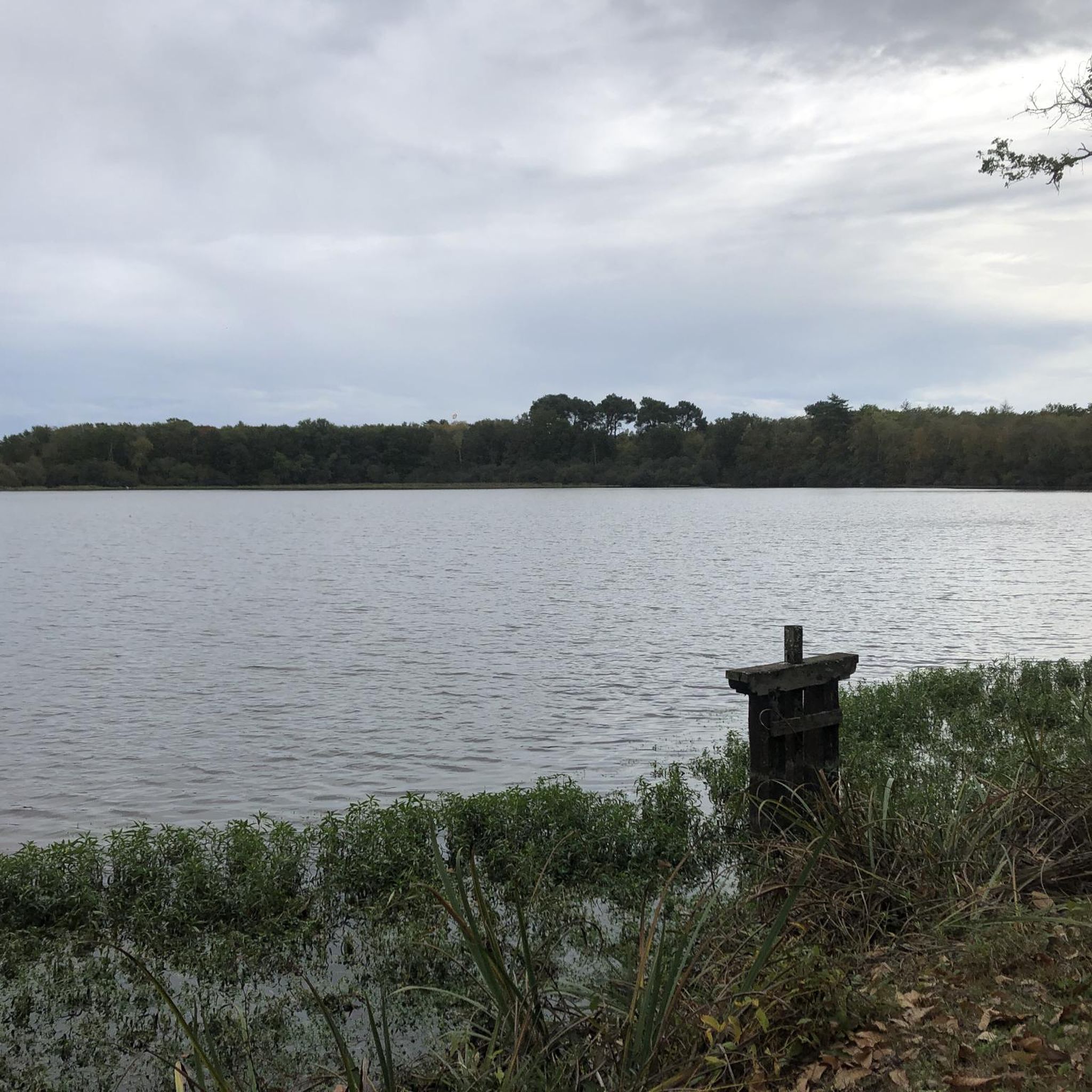
Jogging routes around Etang de Bievre offer a diverse natural setting for runners. The region features a series of interconnected ponds, including Braque Pond and Minière Pond, nestled within a dense wooded environment. These running trails often follow the tranquil Bièvre River Valley, providing a mix of waterside paths and shaded forest routes. While many paths are relatively flat, some routes include gentle inclines, offering varied terrain for different fitness levels.
Best jogging routes around Etang De Bievre
- The most…
Last updated: July 3, 2026
7
runners
8.26km
00:53
30m
30m
Moderate run. Good fitness required. Mostly paved surfaces. Suitable for all skill levels.
4
runners
Moderate run. Good fitness required. Mostly paved surfaces. Suitable for all skill levels.

Sign up for free
3
runners
Hard run. Very good fitness required. Mostly paved surfaces. Suitable for all skill levels.
4.0
(1)
15
runners
Moderate run. Good fitness required. Mostly paved surfaces. Suitable for all skill levels.
7
runners
Moderate run. Good fitness required. Mostly paved surfaces. Suitable for all skill levels.
Get access to more routes and recommendations from other explorers.
Sign up for free
Already have an account?
Our route recommendations are based on thousands of hikes, rides, and runs completed by other people on komoot.
Start today with a free account
Your next adventure awaits.
Login or Signup

Frequently Asked Questions
How many running routes are available around Etang de Bièvre?
There are over 30 dedicated running routes around Etang de Bièvre, offering a wide range of options for different fitness levels and preferences. These routes explore the serene ponds, dense woodlands, and the peaceful Bièvre River Valley.
Are there easy jogging routes suitable for beginners or casual runners?
Yes, the region offers several easy jogging routes. While the guide lists 1 easy route, many of the 23 moderate routes also feature relatively flat terrain, making them accessible for beginners. These paths often follow the tranquil watersides and shaded forest trails.
What kind of terrain can I expect on the jogging trails?
The jogging trails around Etang de Bièvre feature varied terrain. You'll find many relatively flat paths, especially along the ponds and the Bièvre River. However, some routes, particularly in areas like the Bois du Cerf-Volant, include gentle inclines, offering a more challenging workout amidst the wooded landscape.
Are there any circular running routes around the ponds?
Yes, many of the running routes are circular, allowing you to start and finish at the same point while enjoying the scenic beauty of the ponds. For example, the Étang de la Pérelle loop from La Ferté-Beauharnais is a great option for a circular run around a single pond.
What are some notable natural features or landmarks to see while running?
While running, you can enjoy the serene beauty of multiple interconnected ponds like Braque Pond, Minière Pond, and Val d'Or Pond. The routes also wind through dense forests such as the Bois Saint-Martin and Bois de Satory, and follow the bucolic Bièvre River Valley, known for its preserved biodiversity and peaceful wetlands.
Is the Etang de Bièvre area suitable for family-friendly jogging?
Yes, the Etang de Bièvre area is well-suited for family-friendly jogging. Many paths are easily accessible and relatively flat, making them enjoyable for all skill levels. The natural environment with its ponds and forests provides a pleasant setting for outdoor activities with children.
Can I bring my dog on the running trails?
The Étangs de la Bièvre region generally welcomes dogs on trails, but it's always advisable to keep them on a leash, especially in areas with wildlife or near other visitors. Check local signage for specific regulations in different sections of the forest or around particular ponds.
What is the best season to go running in this region?
The Etang de Bièvre region is beautiful for running throughout the year. Spring and autumn offer pleasant temperatures and vibrant natural colors. Summer provides shaded paths through the forests, while winter runs can be serene, though some trails might be muddy or icy depending on conditions.
Are there challenging running trails for more experienced runners?
Yes, for experienced runners seeking a challenge, there are 6 difficult routes available. An example is the Étang de Pointiloup – Étang de la Madeleine loop from Marcilly-en-Gault, which is over 16 km long and features varied terrain through a wooded landscape connecting multiple ponds.
What do other runners say about the trails around Etang de Bièvre?
The running routes in Etang de Bièvre are highly rated by the komoot community, with an average score of 4.0 stars from 3 reviews. Runners often praise the serene ponds, dense wooded trails, and the peaceful Bièvre River Valley, highlighting the diverse natural setting for their runs.
Are there facilities like picnic areas along the running routes?
Yes, the region offers several picturesque spots with direct views of the water that are ideal for picnics. These areas provide a perfect opportunity to relax and refuel before or after your run, enhancing the overall outdoor experience.
How long does it typically take to complete a running route around the ponds?
Running times vary depending on the route's length and your pace. For instance, the Étang de la Gravelle loop from Marcilly-en-Gault, which is 8.3 km, typically takes about 50 minutes. Longer routes, like the 16.8 km Étang de Pointiloup – Étang de la Madeleine loop, can take around 1 hour 45 minutes.

Get inspired with the komoot mobile app


Explore more
Browse the best Running Trails & Routes in other regions.
