The best walks and hikes around Lac De Charmine-Moux
4.3
(603)
3,572
hikers
106
hikes
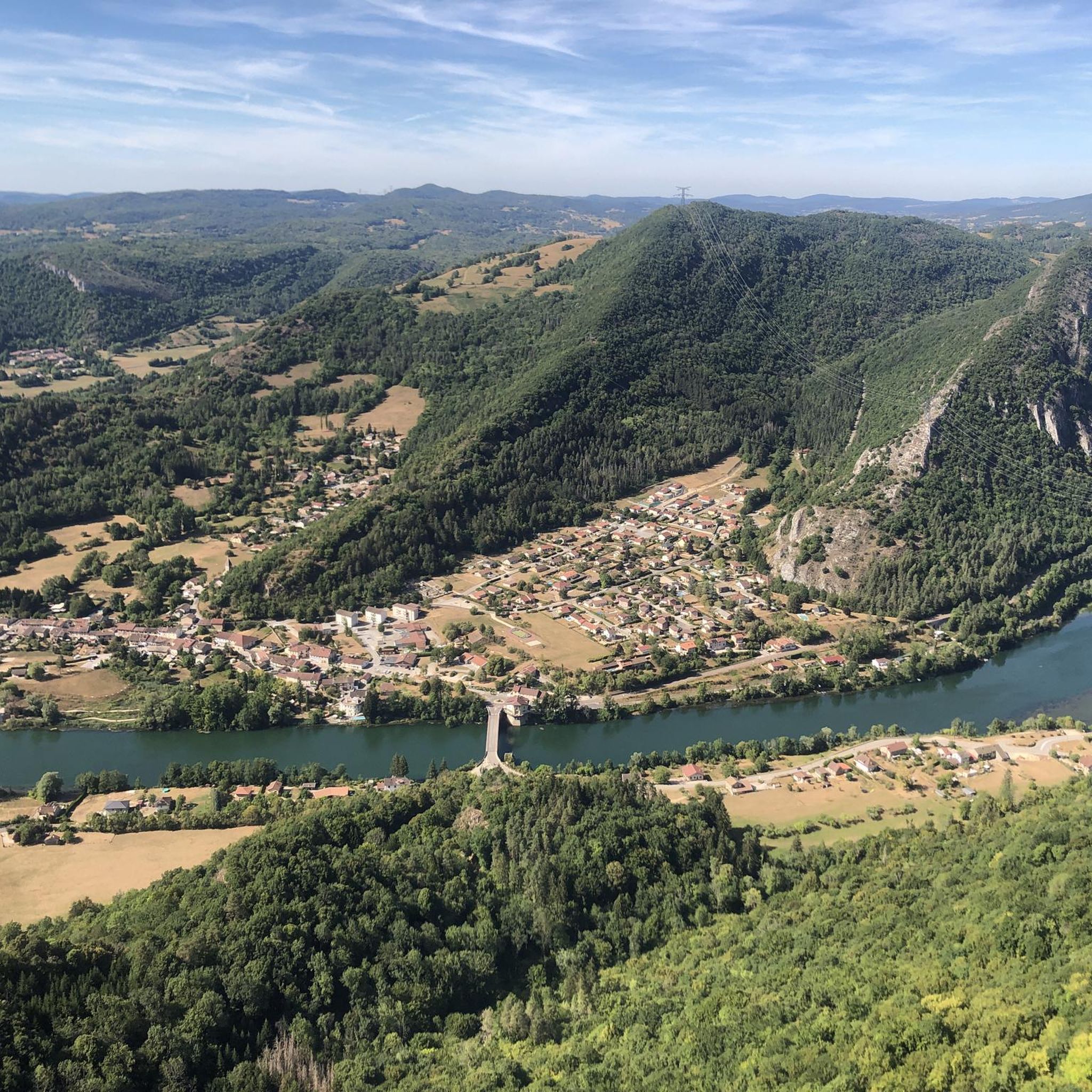
Hiking around Lac De Charmine-Moux offers diverse landscapes centered around an artificial lake and notable geological formations. The region is characterized by the Sauts de Charmine, a series of waterfalls on the Oignin river, and deeply eroded calcareous basins known as Marmites de Géants. Trails often feature views of river gorges and the tranquil Lac de Moux reservoir, providing varied terrain for outdoor activities.
Best hiking trails around Lac De Charmine-Moux
- The most popular hiking route is Charmines-Moux Reservoir –…
Last updated: October 12, 2026
4.3
(13)
121
hikers
9.89km
02:42
150m
150m
Moderate hike. Good fitness required. Easily-accessible paths. Suitable for all skill levels.
4.5
(13)
65
hikers
Moderate hike. Good fitness required. Easily-accessible paths. Suitable for all skill levels.

5.0
(2)
12
hikers
Easy hike. Great for any fitness level. Easily-accessible paths. Suitable for all skill levels.
4.4
(8)
26
hikers
7.72km
02:15
210m
210m
Moderate hike. Good fitness required. Easily-accessible paths. Suitable for all skill levels.
3.5
(2)
10
hikers
10.0km
02:44
150m
150m
Moderate hike. Good fitness required. Easily-accessible paths. Suitable for all skill levels.
Get access to more routes and recommendations from other explorers.
Already have an account?
Our route recommendations are based on thousands of hikes, rides, and runs completed by other people on komoot.
Start today with a free account
Your next adventure awaits.



Tips from the Community


Narrow and very steep track of a few hundred meters. It seems possible to me on mountain bike too.
0
0


Points of view on the gouilles formed by the Oignin
1
0
Frequently Asked Questions
What kind of terrain can I expect on the hiking trails around Lac De Charmine-Moux?
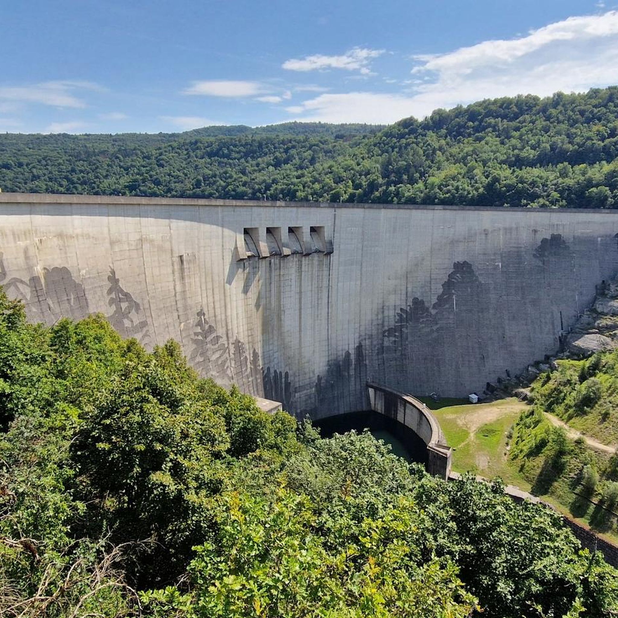
The trails around Lac De Charmine-Moux offer a diverse mix of terrain. You'll encounter classic hiking paths, unpaved sections, and some paved roads or streets. The landscape features river gorges, the tranquil Lac de Moux reservoir, and areas with unique geological formations like the Sauts de Charmine waterfalls and Marmites de Géants.
Are there any notable natural features or landmarks to see while hiking in the area?
Absolutely! The region is rich in natural beauty. You can explore the Sauts de Charmine, a series of three splendid waterfalls on the Oignin river, and the intriguing Marmites de Géants (Giant's Kettles), which are deeply eroded calcareous basins below the dam. The trails also offer beautiful views of the river gorges and the scenic Lac de Moux reservoir. For more information on the Sauts de Charmine, you can visit Haut-Bugey Tourisme.
What is the typical difficulty level of hikes around Lac De Charmine-Moux?
The area offers a good range of trails. Out of over 100 available routes, you'll find approximately 34 easy walks, 60 moderate hikes, and a few more challenging options. This means there are suitable paths for various fitness levels, from leisurely strolls to more demanding excursions.
Are there any easy or beginner-friendly hiking routes available?
Yes, there are plenty of easy options. Approximately 34 of the routes in the area are classified as easy, making them suitable for beginners or those looking for a relaxed walk. An example of an easy route is the Waterfalls and Potholes loop from Matafelon-Granges, which is about 5 km long.
What is the best time of year to go hiking around Lac De Charmine-Moux?
While specific seasonal recommendations aren't detailed, the diverse landscapes and natural features suggest that spring and autumn would be ideal for comfortable hiking temperatures and vibrant scenery. Summer offers lush greenery, but can be warmer, while winter might present unique, albeit potentially more challenging, conditions around the waterfalls and reservoir.
Are the hiking trails around Lac De Charmine-Moux suitable for families with children?
Many trails in the region are accessible and suitable for a wide range of visitors, including families. With a significant number of easy routes available, you can find paths that are less strenuous and enjoyable for children. Look for routes classified as 'easy' for the most family-friendly options.
Can I bring my dog on the hiking trails?
The region is generally welcoming to outdoor enthusiasts. While specific dog-friendly regulations for every trail are not provided, it's common for dogs to be allowed on hiking paths in natural areas, especially if kept on a leash. We recommend checking local signage or specific route details on komoot for any restrictions before heading out with your canine companion.
Are there circular hiking routes available?
Yes, circular routes are a popular feature in the area. Many trails are designed as loops, allowing you to start and end at the same point. Examples include the Charmines-Moux Reservoir – Waterfalls and Potholes loop from Matafelon-Granges and the Charmines-Moux Reservoir loop from Izernore.
What are the typical durations for hikes in this area?
Hiking durations vary depending on the route's length and difficulty. For example, the moderate Charmines-Moux Reservoir loop from Izernore, which is about 11.9 km, typically takes around 3 hours and 10 minutes. Shorter, easy routes like the Waterfalls and Potholes loop from Matafelon-Granges can be completed in under 2 hours.
What do other hikers say about the trails around Lac De Charmine-Moux?
The hiking experience around Lac De Charmine-Moux is highly regarded by the komoot community, with an average rating of 4.4 stars from over 470 reviews. Hikers often praise the diverse landscapes, the beauty of the waterfalls, and the tranquil reservoir views.
Is parking available near the trailheads?
While specific parking locations aren't detailed for every trailhead, popular hiking areas like Lac De Charmine-Moux typically offer designated parking facilities. For routes starting from villages such as Matafelon-Granges or Izernore, you can usually find parking options within or near the village centers, often close to the trail starting points.
Most popular routes around Lac De Charmine-Moux

Get inspired with the komoot mobile app


Explore more
Browse the best Hikes in other regions.
