The best cycling routes around Lac De Puyvalador
4.4
(92)
2,584
riders
97
rides
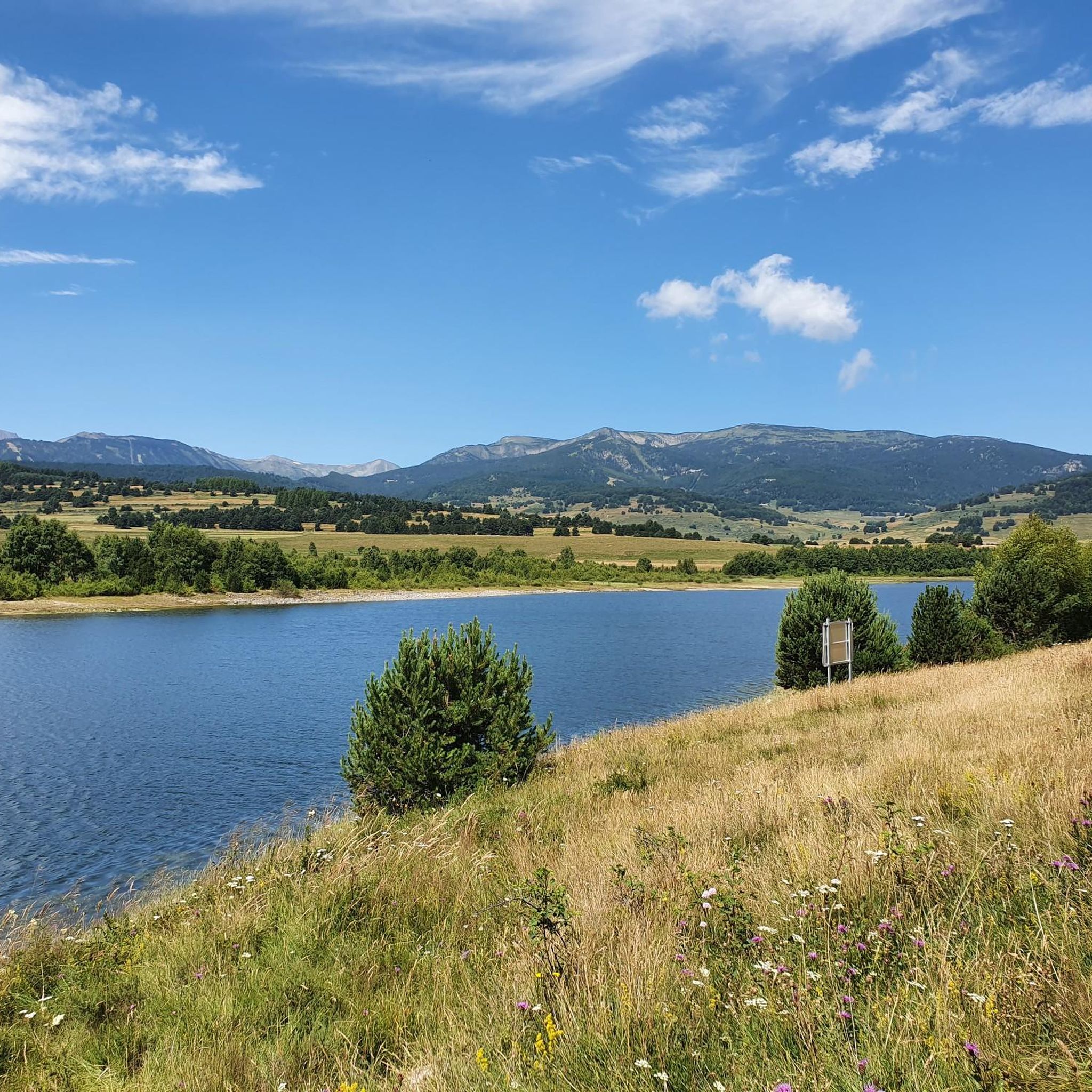
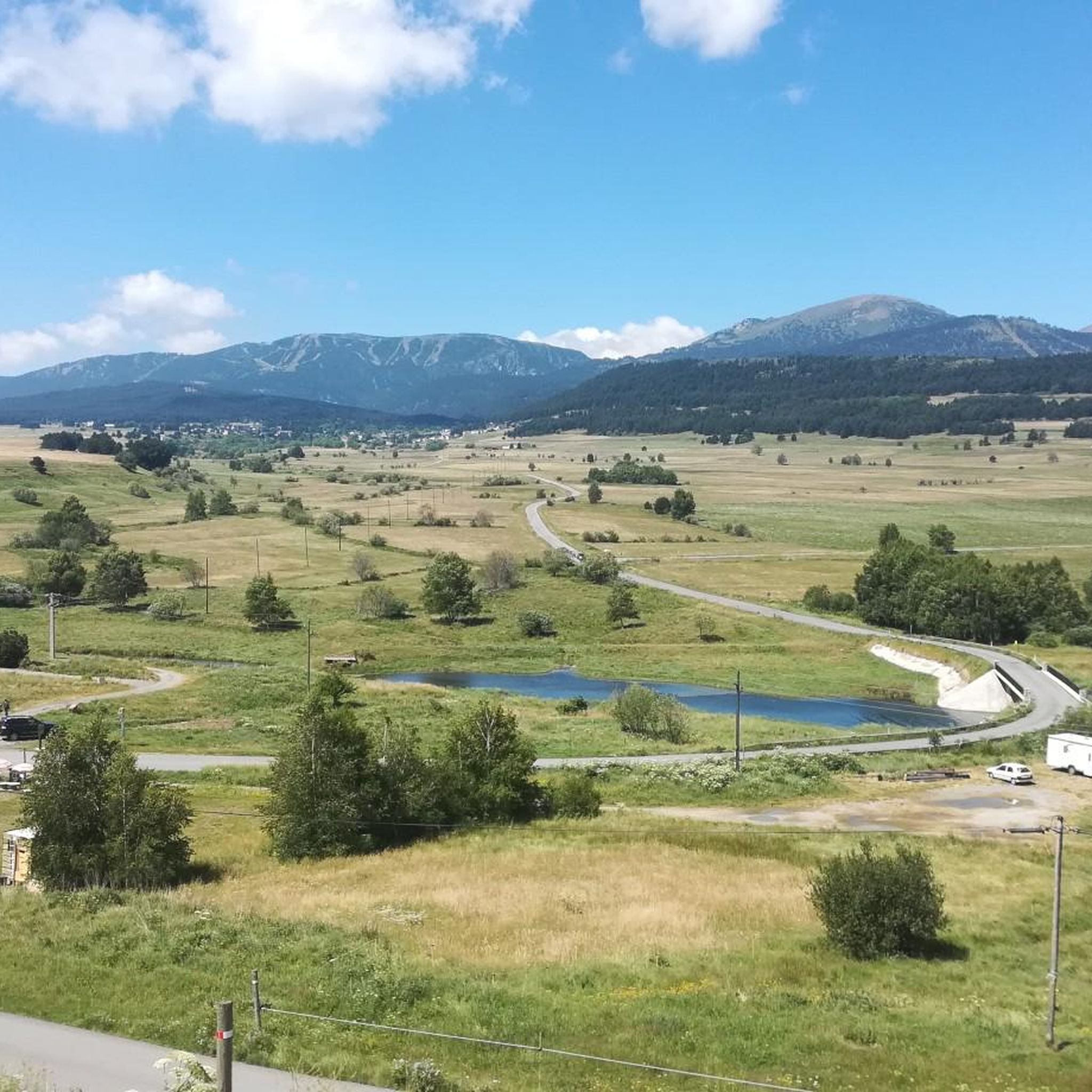
Touring cycling routes around Lac De Puyvalador are situated within the Catalan Pyrenees Regional Natural Park, offering diverse terrain for cyclists. The area features the tranquil Lac de Puyvalador as a central element, with routes often following its shores and crossing the Puyvalador Dam. Cyclists encounter varied paths, from low-gradient sections along humid meadows and river crossings to more challenging ascents providing panoramic views of the Capcir plateau and surrounding peaks. The landscape combines serene lake views with elevated sections…
Last updated: July 4, 2026
5.0
(1)
22
riders
24.4km
02:21
580m
580m
Hard bike ride. Very good fitness required. Mostly paved surfaces. Suitable for all skill levels.
8
riders
37.6km
03:51
1,000m
1,000m
Hard bike ride. Very good fitness required. Mostly paved surfaces. Suitable for all skill levels.

Sign up for free
13
riders
21.1km
01:22
270m
270m
Moderate bike ride. Good fitness required. Mostly paved surfaces. Suitable for all skill levels.
4.0
(1)
6
riders
7.44km
00:41
80m
80m
Easy bike ride. Great for any fitness level. Mostly paved surfaces. Suitable for all skill levels.
7
riders
17.2km
01:41
350m
350m
Moderate bike ride. Good fitness required. Mostly paved surfaces. Suitable for all skill levels.
Get access to more routes and recommendations from other explorers.
Sign up for free
Already have an account?
Our route recommendations are based on thousands of hikes, rides, and runs completed by other people on komoot.
Start today with a free account
Your next adventure awaits.
Login or Signup


Tips from the Community

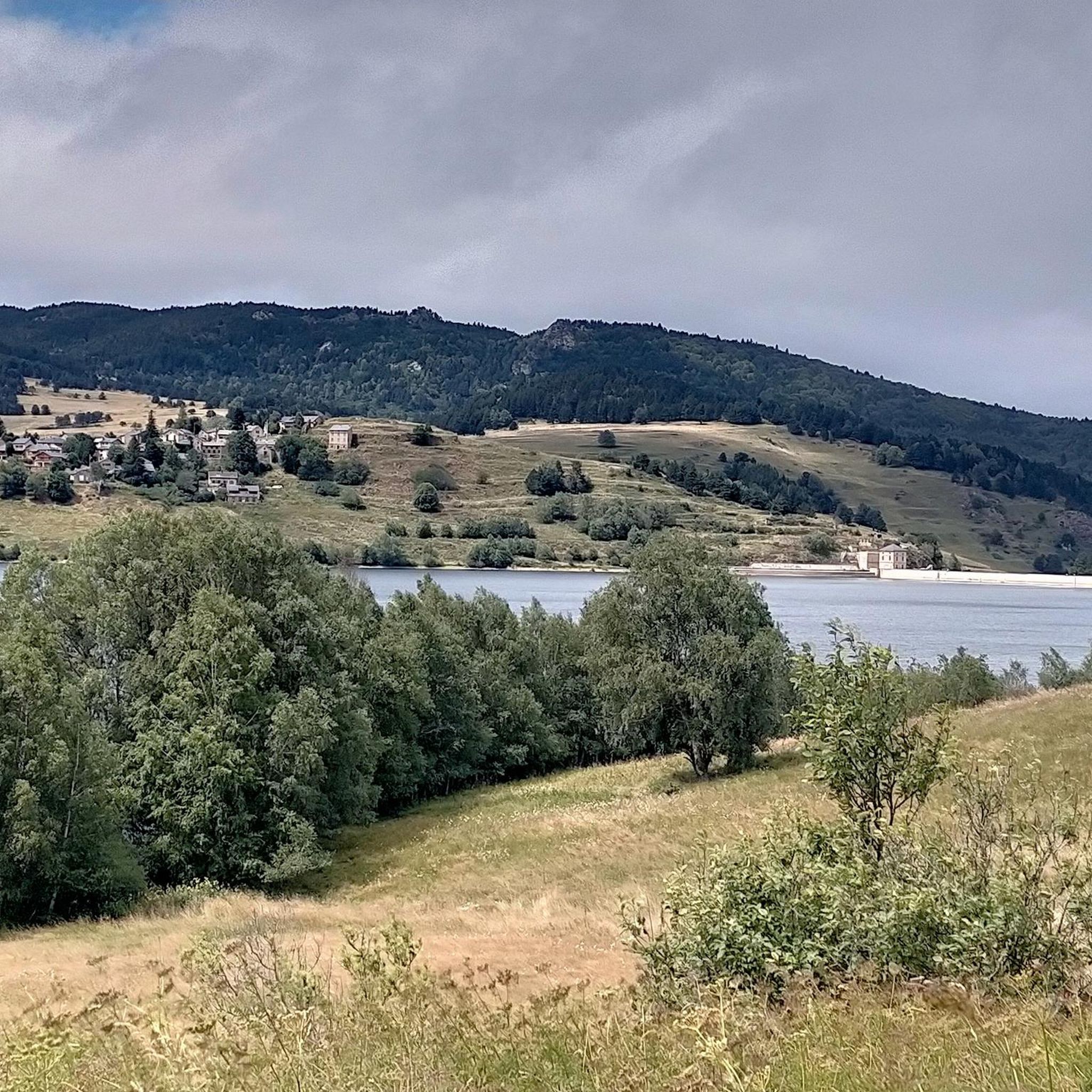
The Puyvalador dam is 160 meters long and 39 meters high. This concrete structure is used to regulate the waters of the Aude river to produce electricity. From the dam, the view is exceptional.
0
0

Lake Matemale with its beautiful beaches is located at an altitude of 1500 metres and therefore the water is between 19 and 23°.
1
1


Welcome water point on the Soulan, sufficient flow, with quick access to the village center.
0
0

It is a simply spectacular port that unites the regions of Conflent and Capcir. It is one of the most beautiful ports in the easternmost Pyrenees. It is very close to the Col de la Llosa, and you can take a circular route that is known as the "Route des Cols". It is also indicated on nearby road signs. The hardest slope is the one that begins in Olette (Conflent) and goes up through Aiguatèbia. There are almost 22 km of ascent and 1,089 meters of elevation gain. It has 3 very different zones: (1) the first is a constant 5 km at 7%; (2) the second is 10 km at 4% and with some very pleasant rest areas, with beautiful views; (3) The final part is 6 km on average at 7%, since it passes the town of Railleu, although the hard part is the last 3 km, with several ramps that exceed 10%. The road is narrow and has uneven asphalt, with hardly any cars and motorcycles. For me, the final part of this port is truly spectacular and should not be missed. The west slope begins in the town of Matamala (Capcir) and is 3 km with an average of close to 8%. It is a long irregular stretch along a narrow and very quiet road, with panoramic views of the valley when the thick black pine forest gives some opportunity.
0
0

A little disappointing: the pass is in the middle of the forest and offers no view. The climb from (and to!) Railleu is nevertheless superb. A nice picnic area to have a bite to eat.
1
0
High mountain town known for the ski resort in its vicinity. It is a town with various services in case water needs to be replenished.
0
0

Very good that there is a nice bike path between Formiguères and Puyvalador along the D118. This way you can enjoy the landscape better. Only the thick wooden bollards are annoying.
4
2
Frequently Asked Questions
How many touring cycling routes are available around Lac De Puyvalador?
There are nearly 100 touring cycling routes in the Lac De Puyvalador area, offering a wide range of options for different skill levels and preferences.
What kind of terrain can I expect on touring cycling routes in the Lac De Puyvalador area?
The region offers diverse terrain, from low-gradient sections along humid meadows and river crossings to more challenging ascents providing panoramic views of the Capcir plateau and surrounding peaks. You'll find routes that combine serene lake views with elevated sections offering expansive vistas.
Are there touring cycling routes suitable for beginners or families?
Yes, there are over 25 easy touring cycling routes. A great option for a pleasant ride is the Puyvalador Dam – Réal loop from Réal, which is 4.6 miles (7.4 km) long and offers gentle paths along the lake and across the dam.
What is the best time of year for touring cycling around Lac De Puyvalador?
The Capcir region, often called the "Little Siberia" of the Pyrenees, can experience harsh winters. Therefore, the best time for touring cycling is typically from late spring through early autumn, when the weather is milder and the mountain passes are clear. This allows you to fully enjoy the natural beauty and diverse landscapes.
Are there any circular touring cycling routes around Lac De Puyvalador?
Many routes in the area are designed as loops, allowing you to start and end in the same location. For example, the Lake Matemale – Lake Matemale loop from Réal is a moderate 14.5 miles (23.4 km) path that circles a nearby lake, offering varied terrain and scenic views.
Can I find challenging touring cycling routes with significant climbs?
Absolutely. The region features over 40 difficult touring cycling routes with substantial elevation changes. For a significant challenge, consider the Mijanès – Pailhères Pass loop from Puyvalador, a 33.2 miles (53.5 km) route with over 1500 meters of ascent, leading through mountain passes.
What landmarks or scenic viewpoints can I discover along the touring cycling routes?
Cyclists can enjoy views of the tranquil Lac de Puyvalador and the historic Puyvalador Dam. The surrounding Capcir plateau offers panoramic vistas of mountain pine forests and majestic peaks. Nearby attractions include the Col de la Perche, offering views of Canigó mountain, and the Grotte de Fontrabiouse. The Cycle path along the D118 – Fontrabiouse Fountain loop from Puyvalador will take you close to the latter.
Where can I park my car when starting a touring cycling route?
Parking is generally available in the villages surrounding Lac de Puyvalador, such as Puyvalador and Réal. Many routes, like the popular Puyvalador Dam – Réal loop from Réal, start from these accessible points, making it convenient to find a spot.
Is it possible to reach the touring cycling routes by public transport?
While the region is primarily accessed by car, some local bus services connect the villages in the Capcir area. However, options for transporting bicycles on public transport may be limited. It's advisable to check specific bus routes and their bike policies in advance if you plan to use public transport.
What are the typical surface types for touring cycling routes in this region?
Routes around Lac de Puyvalador feature a mix of paved roads, quiet country lanes, and sometimes well-maintained gravel paths. The region's diverse terrain means you might encounter smooth surfaces along the lake and more rugged sections on mountain ascents. Some routes are even suitable for gravel biking.
Are touring cycling routes around Lac De Puyvalador dog-friendly?
While many outdoor areas in the Catalan Pyrenees Regional Natural Park are dog-friendly, specific regulations may apply to certain trails or protected areas. It's generally recommended to keep dogs on a leash, especially in areas with livestock or wildlife, and to always clean up after your pet. Always check local signage for any restrictions.
Are there places to eat or stay near the touring cycling routes?
Yes, the villages surrounding Lac de Puyvalador, such as Puyvalador and Réal, offer various accommodations, including guesthouses and hotels, as well as restaurants and cafes where you can refuel after your ride. Lake Matemale, a short distance away, also has facilities for visitors.
What do other touring cyclists say about the routes around Lac De Puyvalador?
The touring cycling routes in Lac De Puyvalador are highly rated by the komoot community, with an average score of 4.4 stars from over 100 reviews. Cyclists often praise the serene lake views, the diverse terrain, and the panoramic vistas of the Capcir plateau.
Most popular routes around Lac De Puyvalador

Get inspired with the komoot mobile app


Explore more
Browse the best Cycling routes in other regions.
