The best walks and hikes around Lac De Servieres
4.6
(4090)
30,551
hikers
192
hikes
Hiking trails around Lac De Servieres are situated in the Auvergne-Rhône-Alpes region of France, characterized by its volcanic landscape and high-altitude lakes. The area features a mix of open pastures, coniferous forests, and rolling hills. Trails often follow the contours of the ancient volcanic terrain, offering varied elevation changes. The region provides a natural environment for outdoor activities, with routes circling the lake and extending into the surrounding uplands.
Best hiking trails around Lac De Servieres
- The most popular hiking…
Last updated: October 12, 2026
4.7
(89)
451
hikers
15.4km
04:41
490m
490m
Moderate hike. Good fitness required. Mostly accessible paths. Sure-footedness required.
4.5
(20)
102
hikers
6.99km
02:05
210m
210m
Moderate hike. Good fitness required. Easily-accessible paths. Suitable for all skill levels.

4.8
(37)
467
hikers
2.47km
00:41
40m
40m
Easy hike. Great for any fitness level. Easily-accessible paths. Suitable for all skill levels.
2.6
(8)
23
hikers
10.9km
03:05
240m
240m
Moderate hike. Good fitness required. Easily-accessible paths. Suitable for all skill levels.
3.8
(8)
33
hikers
12.0km
03:33
330m
330m
Moderate hike. Good fitness required. Easily-accessible paths. Suitable for all skill levels.
Get access to more routes and recommendations from other explorers.
Already have an account?
Our route recommendations are based on thousands of hikes, rides, and runs completed by other people on komoot.
Start today with a free account
Your next adventure awaits.

Tips from the Community

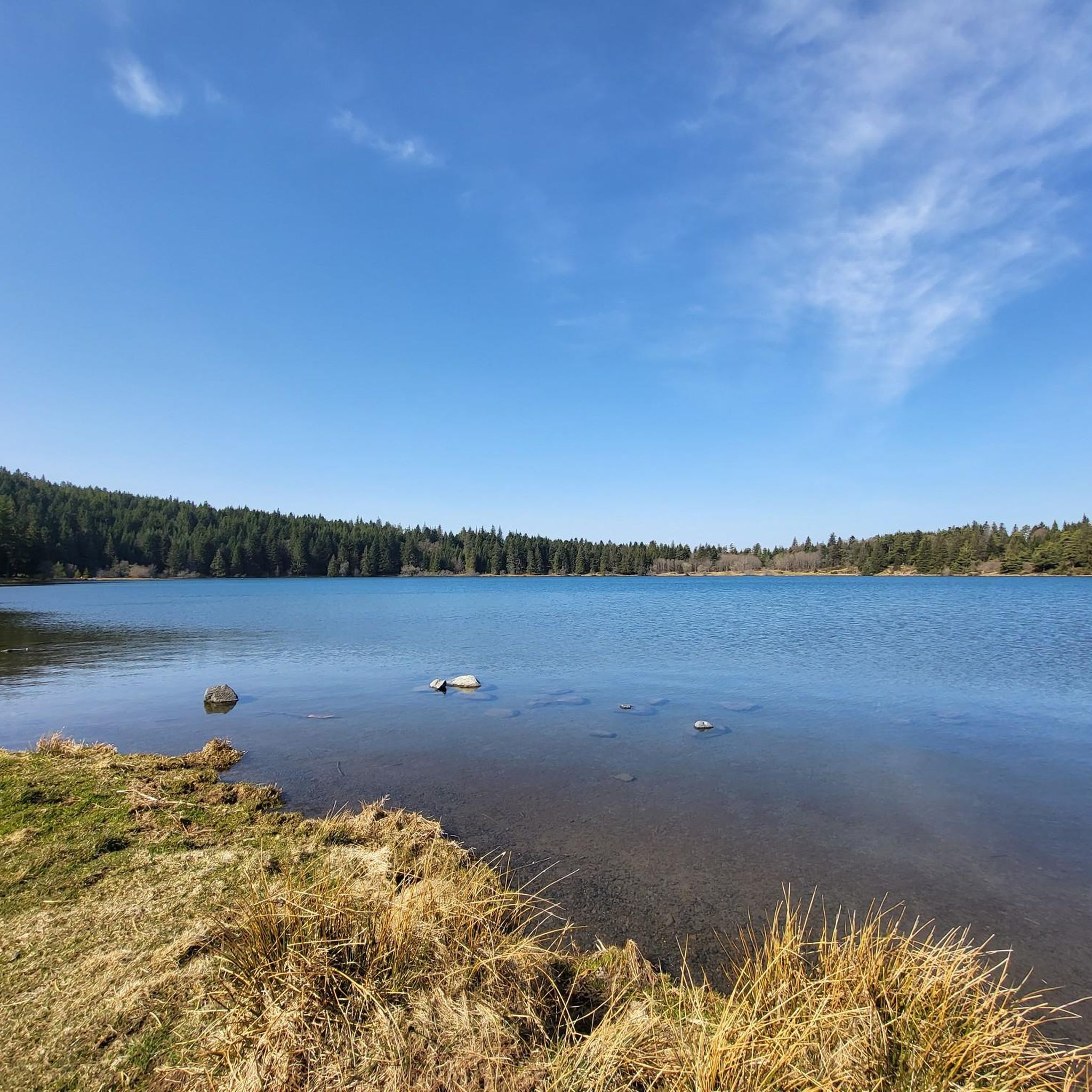
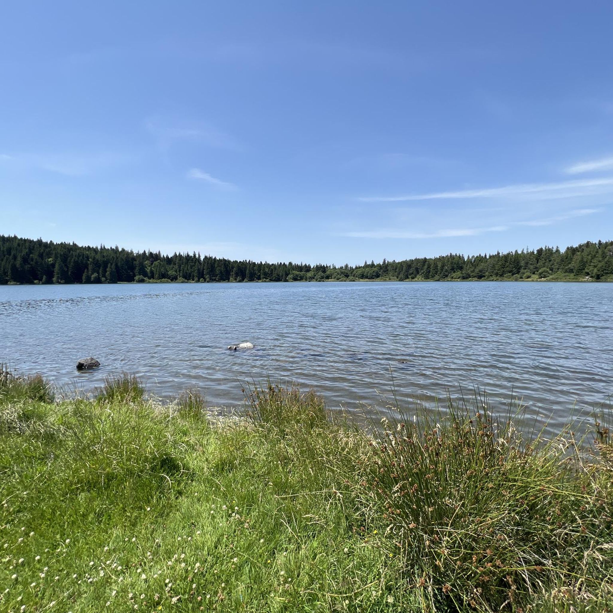
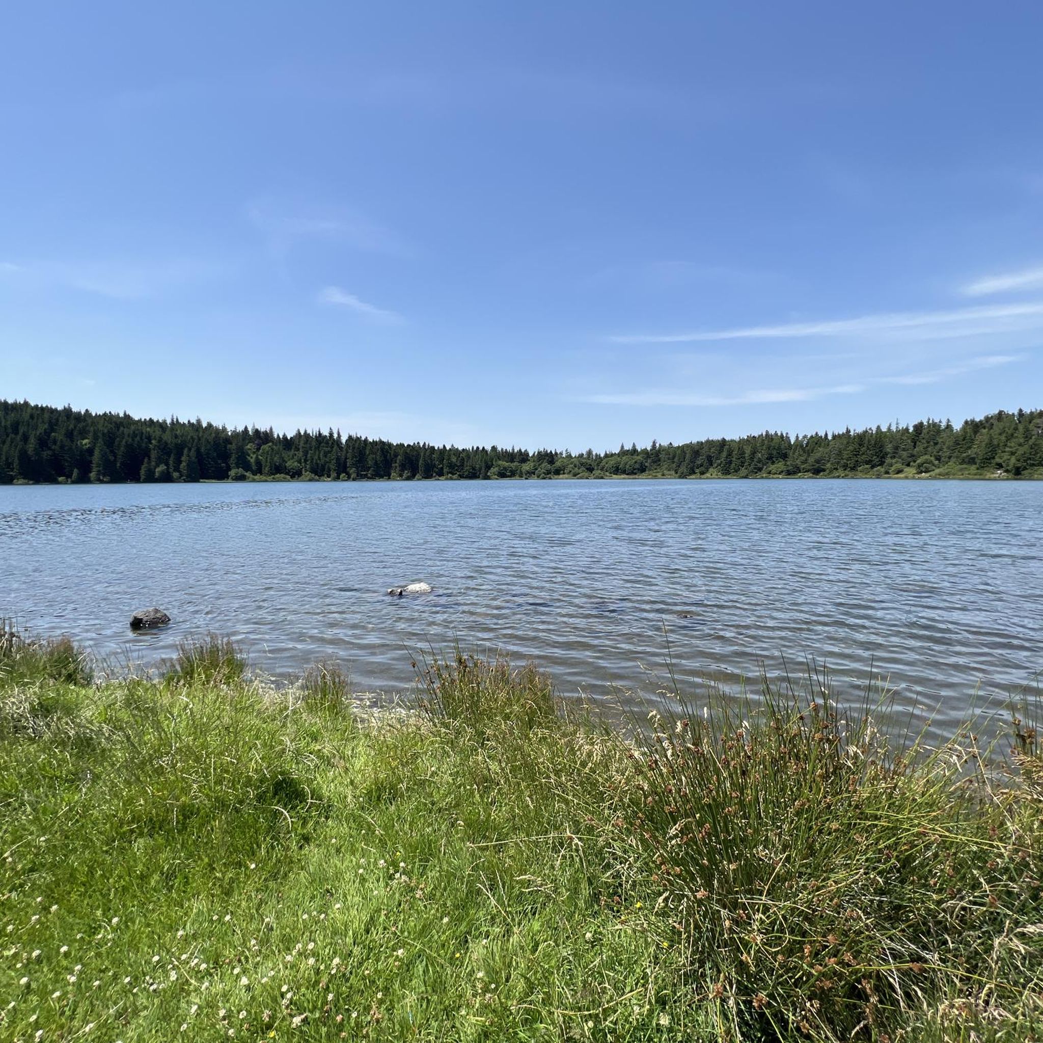
This is undoubtedly the most beautiful lake in the heart of the Auvergne volcanoes. A magical atmosphere reigns here.
0
0

Tuilière and Sanadoire Rocks. Certainly one of the most beautiful viewpoints in the department!
0
0

very little traffic, a superb panorama and autumn colours
0
0

Breathtaking view of the Tuilliere and Sanadoire rocks, remains of two volcanoes. They mark the northern entrance to the Sancy massif and watch over Lake Guéry.
0
0

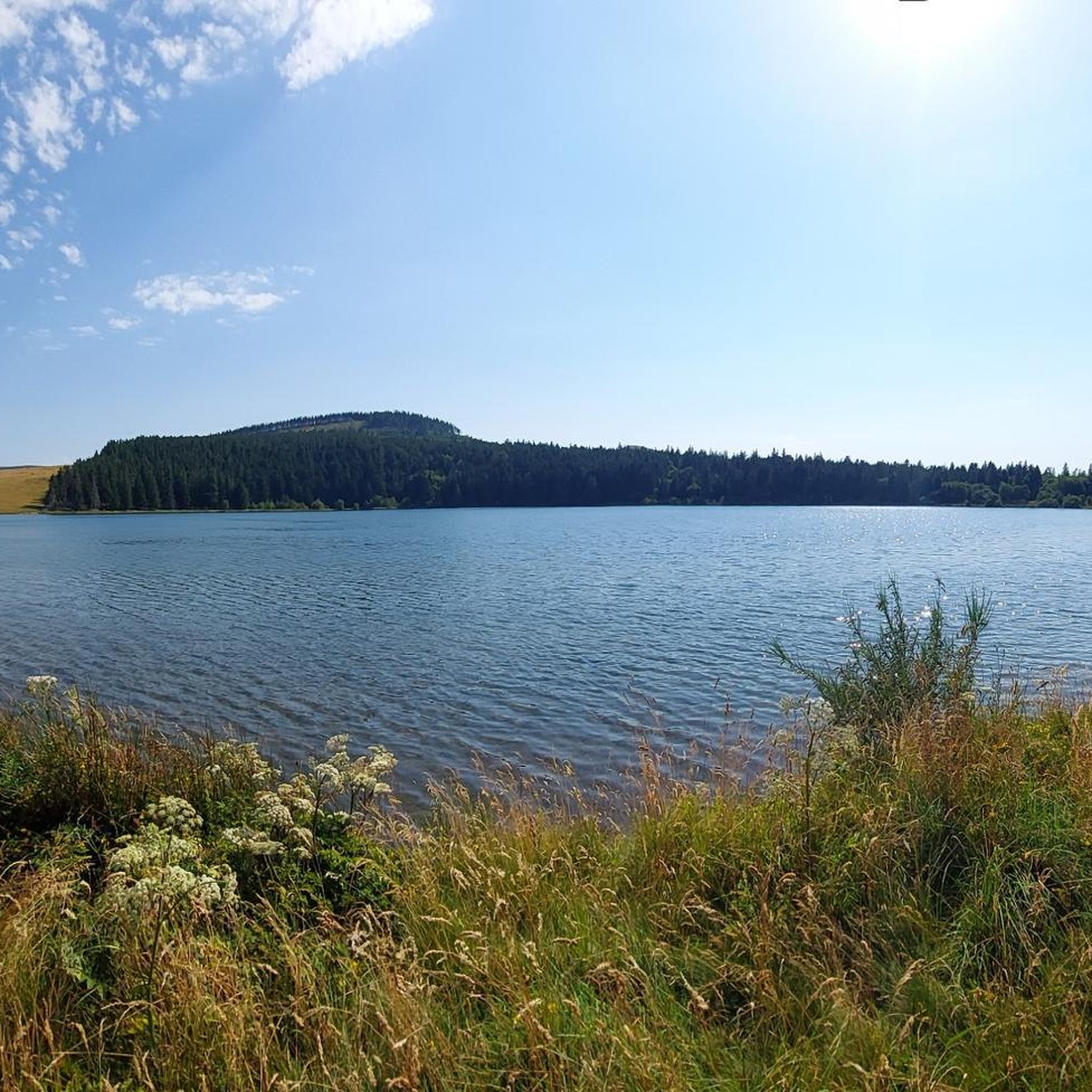
The Col de Guéry, located in the heart of the Auvergne region, offers a picturesque mountain pass experience amidst the volcanic landscapes of the Massif Central. At an altitude of approximately 1,267 metres, the pass offers stunning views of Lake Guéry below, the highest lake in Auvergne. The region is known for its tranquil beauty, with rolling meadows, dramatic volcanic peaks and forests that change colour with the seasons. Nearby Roche Sanadoire and Roche Tuilière add to the spectacular scenery, making it a perfect stop on your hike.
1
0

View of the Roche Tuilière (left) and the Roche Sanadoire. The two "guardians" of the Lac du Guery belong to the volcanic massif of the Aiguillier, whose activity period was between 2.2 and 1.8 million years ago. "Lauze" was mined at the Roche Tuilière until the middle of the 20th century. The ballast columns, which were formed by the slow cooling of the lava, crumble into thin, regular plates, the "lauzes". These plates were used to cover roofs instead of tiles (tuiles). This is where the rock got its name.
0
1
One of the most beautiful lakes of the Puy de Dôme In the early morning, this lake offers a magnificent view of these blue and transparent waters
0
0
Frequently Asked Questions
How many hiking trails are available around Lac De Servieres?
There are nearly 200 hiking trails around Lac De Servieres, offering a wide range of options from easy strolls to more challenging routes. You'll find 64 easy routes, 94 moderate routes, and 31 difficult routes to explore.
Are there any easy or family-friendly hikes around Lac De Servieres?
Yes, Lac De Servieres offers several easy and family-friendly options. A popular choice is the Lake Servières loop from Lac de Servières, an easy 1.5-mile (2.4 km) trail that takes about 40 minutes to complete, perfect for a leisurely walk with children.
Can I find circular hiking routes in the Lac De Servieres area?
Many of the trails around Lac De Servieres are circular, allowing you to start and end at the same point. For example, the Lake Servières – View of Lac Servières loop from Lac de Servières is a moderate 4.3-mile (6.9 km) circular walk offering scenic views.
What is the best time of year to go hiking around Lac De Servieres?
The best time to hike around Lac De Servieres is typically from late spring through early autumn (May to October). During these months, the weather is generally mild, and the trails are clear of snow, making for pleasant hiking conditions. The volcanic landscape is particularly vibrant in spring and autumn.
Are dogs allowed on the hiking trails near Lac De Servieres?
Generally, dogs are welcome on many hiking trails around Lac De Servieres, especially if kept on a leash. However, it's always advisable to check specific trail regulations or local signage, particularly in protected natural areas or near grazing livestock, to ensure a pleasant experience for everyone.
Where can I park when hiking around Lac De Servieres?
Parking is typically available near the main access points to Lac De Servieres, including designated parking areas close to the lake itself. These spots serve as convenient starting points for many of the popular trails.
Are there any challenging hikes for experienced hikers in the region?
Yes, for experienced hikers seeking a challenge, the region offers more demanding routes. The Lake Servières – Lake Guéry loop from Lac de Servières is a moderate to challenging 9.8-mile (15.8 km) trail with significant elevation changes, connecting two prominent lakes in the volcanic landscape.
What kind of scenery can I expect on the trails around Lac De Servieres?
Hiking around Lac De Servieres offers diverse scenery, characterized by its volcanic origins. You'll encounter high-altitude lakes, open pastures, dense coniferous forests, and rolling hills. Many trails provide panoramic views of the ancient volcanic terrain and the tranquil lake itself.
What do other hikers enjoy most about hiking in Lac De Servieres?
The area is highly rated by the komoot community, with an average score of 4.6 stars from over 3,200 reviews. Reviewers often praise the serene beauty of the lake, the varied volcanic landscapes, and the well-maintained trails that cater to all skill levels.
Are there opportunities for wild swimming near Lac De Servieres?
While Lac De Servieres is a beautiful high-altitude lake, specific regulations regarding swimming may apply. It's best to check local signage or official tourist information for current guidelines on wild swimming in the area to ensure safety and respect for the natural environment.
Are there any less crowded trails around Lac De Servieres?
To find less crowded trails, consider exploring some of the longer or more challenging routes that venture further into the surrounding uplands away from the immediate lakeside. Early mornings or weekdays outside of peak season can also offer a more solitary experience on popular paths.
How long does it take to hike around Lac De Servieres?
The duration varies significantly depending on the chosen route. A full loop directly around the lake, like the Lake Servières – Lake Servières loop from Lac de Servières, can take around 3 hours 10 minutes for its 7-mile (11.2 km) distance, while shorter loops are under an hour.
Most popular routes around Lac De Servieres

Get inspired with the komoot mobile app


Explore more
Browse the best Hikes in other regions.
