The best running trails around Lac Des Bordes
4.0
(2)
46
runners
15
runs
Jogging routes around Lac Des Bordes are set within the vast Cézallier landscape, characterized by its unique natural features. The region features a 14-hectare lake, originally a peat bog, now managed as a Sensitive Natural Area. Runners can experience the distinctive floating islands of vegetation, known as "tremblants," and panoramic views from the volcanic plateau. The terrain offers a mix of accessible paths and more challenging trails across this ecologically significant area.
Best jogging routes around Lac Des Bordes
- The…
Last updated: June 29, 2026
3
runners
17.6km
02:16
430m
430m
Hard run. Very good fitness required. Mostly paved surfaces. Suitable for all skill levels.
3
runners
9.70km
01:16
280m
290m
Moderate run. Good fitness required. Mostly paved surfaces. Suitable for all skill levels.

Sign up for free
3.0
(1)
5
runners
8.56km
01:03
160m
160m
Moderate run. Good fitness required. Mostly paved surfaces. Suitable for all skill levels.
5
runners
13.7km
01:51
470m
460m
Hard run. Very good fitness required. Mostly paved surfaces. Suitable for all skill levels.
3
runners
10.1km
01:10
240m
240m
Moderate run. Good fitness required. Mostly paved surfaces. Suitable for all skill levels.
Get access to more routes and recommendations from other explorers.
Sign up for free
Already have an account?
Our route recommendations are based on thousands of hikes, rides, and runs completed by other people on komoot.
Start today with a free account
Your next adventure awaits.
Login or Signup

Tips from the Community

Lots of barriers to cross. Obliged to carry the bikes to cross them. With a vttae, it's heavy 😉
0
0

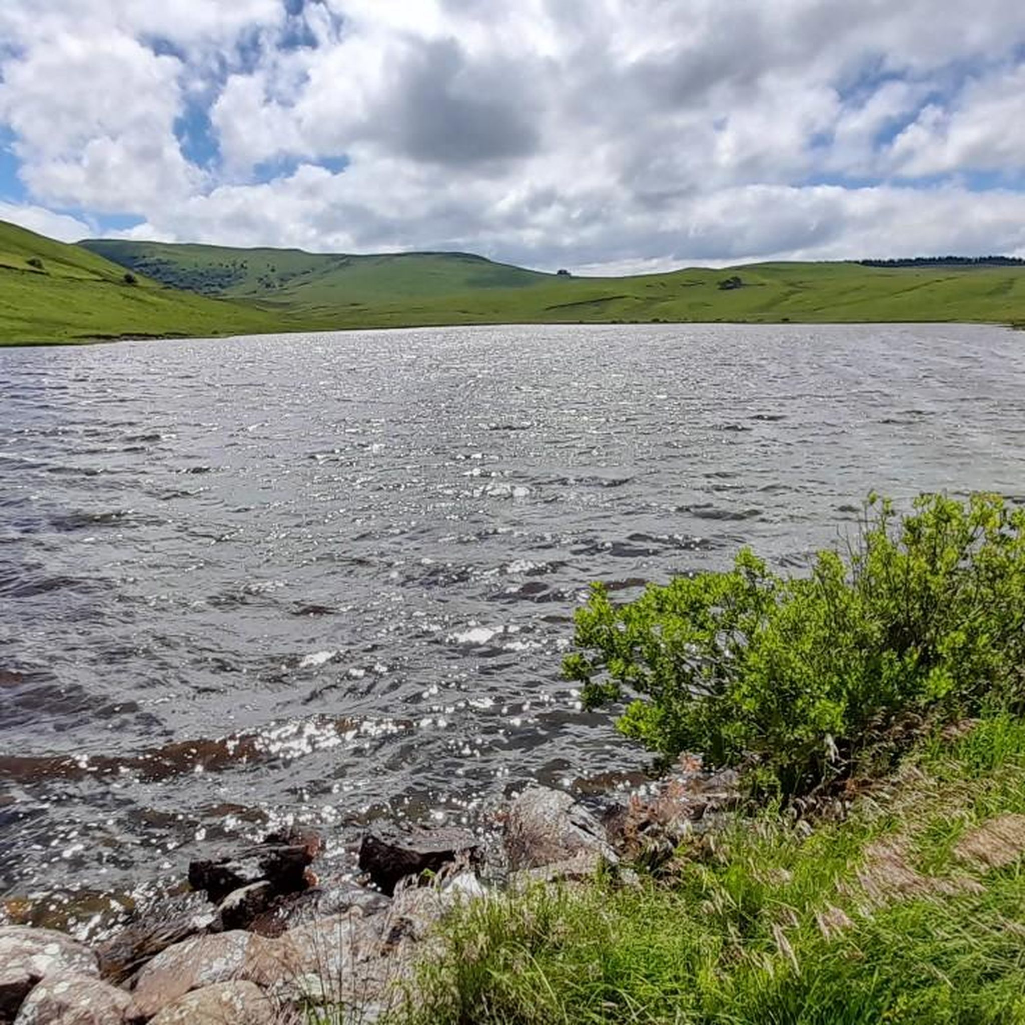
The Lac de Bourdouze is located at an altitude of 1170 meters, in the Massif du Sancy. You can get a good view from the road, and if you want to get closer you can, but it will be on a gravel road. You can access the lake year-round, but it freezes during the winter months.
1
0

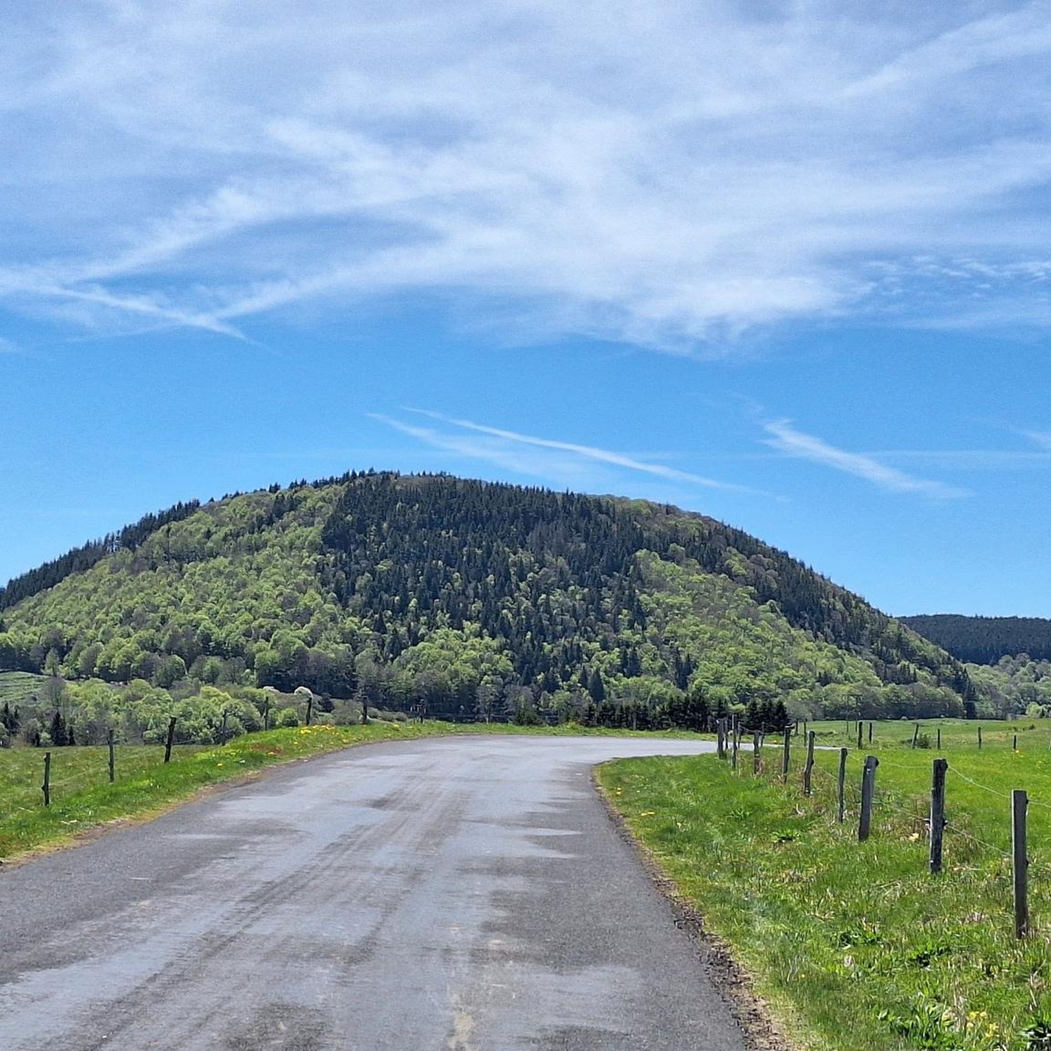
The Puy de Montcineyre, at the time of its formation, blocked the course of a river, and formed this large lake in the shape of a crescent. Although it was not formed during a volcanic explosion, its depth of 20 meters is significant.
2
0

Lake of glacial origin, formed 12,000 years ago; partly covered by a bog. Lake Bourdouze in figures: surface area of 25 ha, altitude of 1150 meters and maximum depth of 4 meters. Fishing possible (pike and fried fish). Pedestrian path towards Lake Montcineyre, but no route to go around the lake (peat bog area). Parking nearby. Access : From Besse, follow the road to Compains for 7 km. The Lac de Bourdouze site is then indicated on the left. Opening: All year. Subject to favorable snow and weather conditions. Car park
1
0


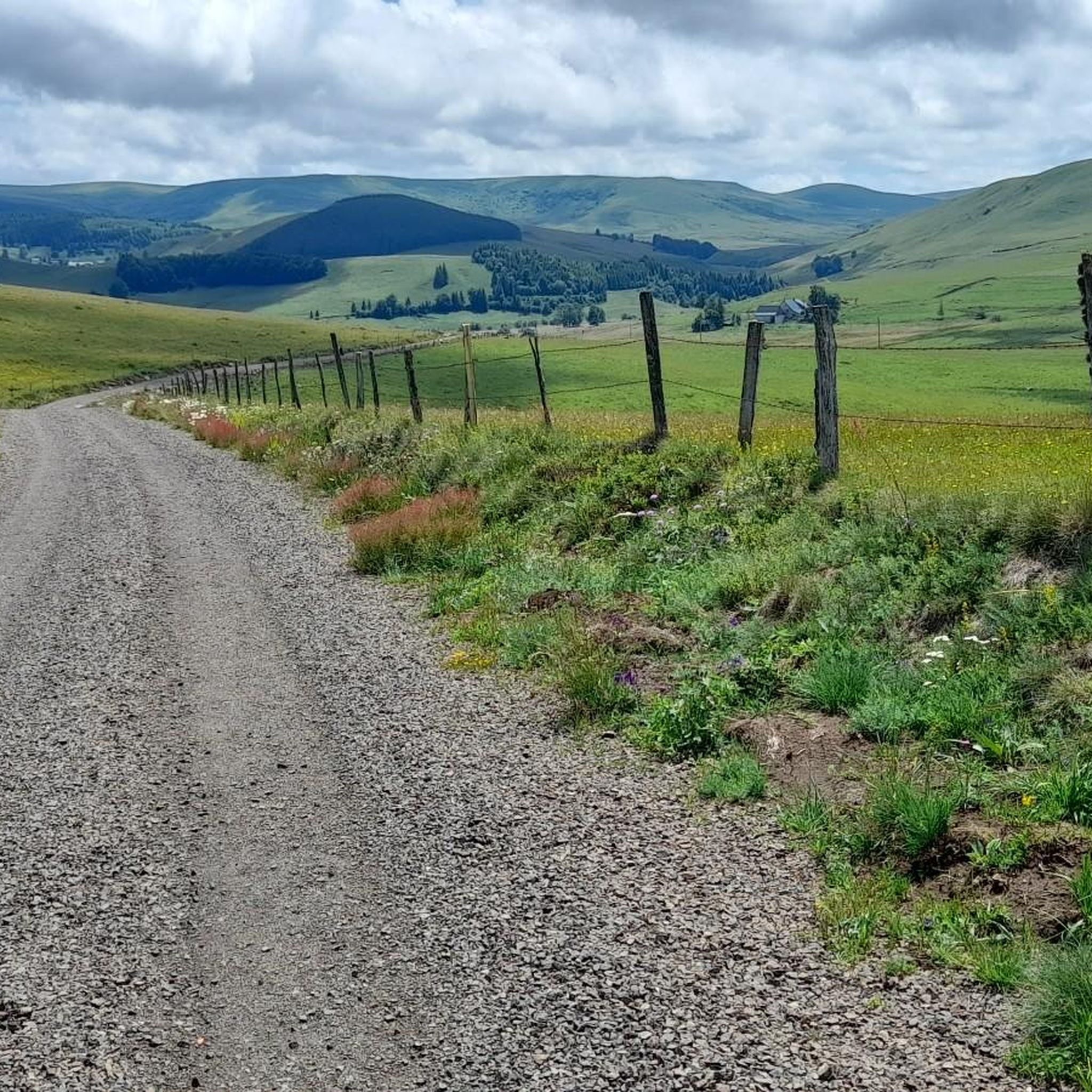
Gorgeous trail - a few slightly technical portions for a gravel bike but okay!
0
0

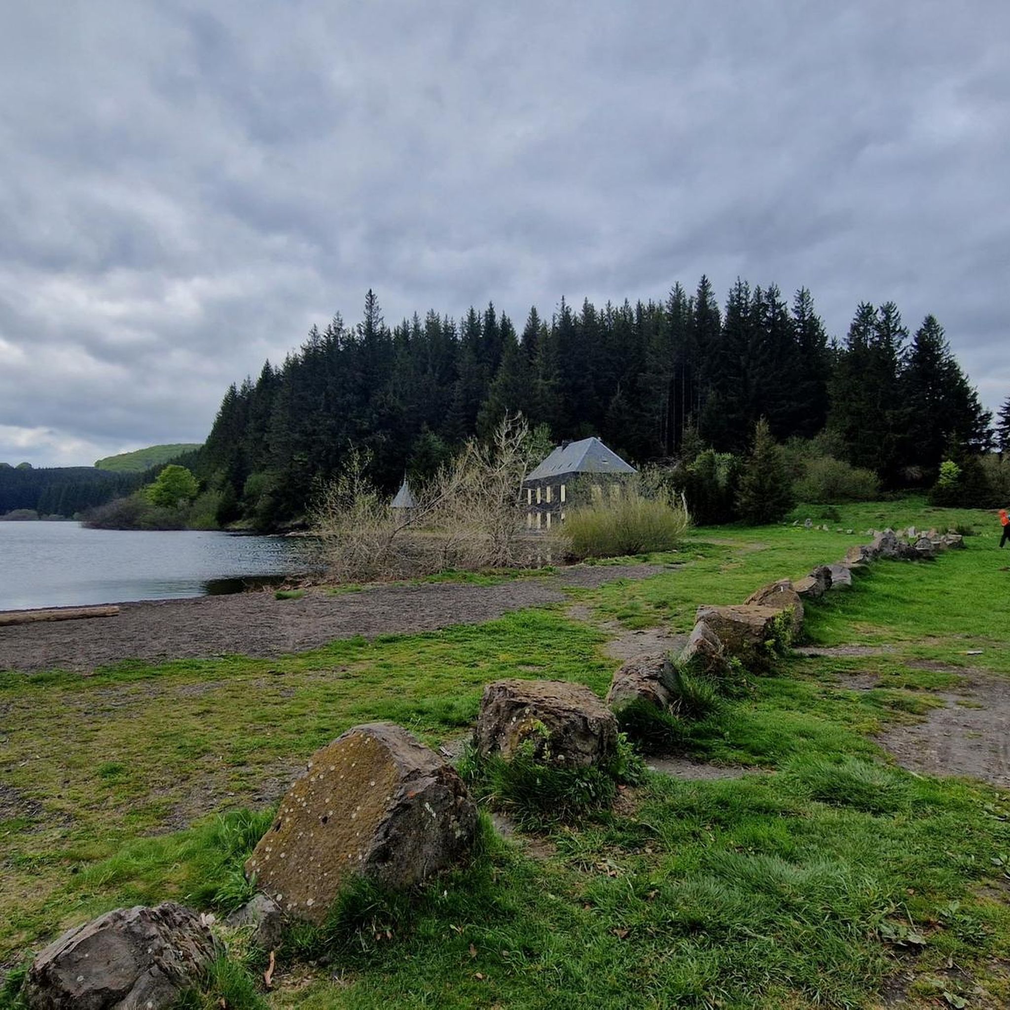
Nice quiet lake but where it is impossible to swim.
2
0
Frequently Asked Questions
How many running routes are available around Lac Des Bordes?
There are over 10 dedicated running routes around Lac Des Bordes, offering a variety of experiences. These include 10 moderate trails and 4 difficult trails, catering to different fitness levels.
Are there circular running routes available in the Lac Des Bordes area?
Yes, many of the running routes around Lac Des Bordes are circular, allowing you to start and finish at the same point. For example, the Lake Bourdouze loop from Valbeleix is a popular circular option, as is the Running loop from Valbeleix.
What kind of scenery and views can I expect on the running trails around Lac Des Bordes?
Runners can expect diverse and picturesque scenery. The routes offer panoramic views of the vast Cézallier landscape and the Sancy mountains, especially beautiful at sunset. You'll also experience the unique natural features of the lake, including its peat bog and distinctive 'tremblants' – floating islands of vegetation.
Are the running routes around Lac Des Bordes suitable for families?
While many routes are moderate to difficult, the area around Lac des Bordes does feature accessible paths. A trail easily reached from Brion leads to the lake's edges, designed for enjoying the scenery. This 'mini-walk' includes educational panels and is very easy and accessible, making it suitable for families looking for a gentle outing.
Can I expect to see wildlife while running around Lac Des Bordes?
Absolutely. Lac Des Bordes is an 'Espace Naturel Sensible' with remarkable biodiversity. It's an excellent spot for birdwatching, with over a hundred species observed, especially migratory birds in autumn. You might also spot various dragonflies, common toads, and red frogs. In April, the surroundings are vibrant with daffodils.
Are there easy running routes for beginners around Lac Des Bordes?
While most listed routes are moderate to difficult, the general area around Lac Des Bordes offers accessible paths. The path from Brion to the lake's edge is described as a very easy and accessible 'mini-walk', which can be a great starting point for beginners to enjoy the natural environment.
What is the best time of year to go running around Lac Des Bordes?
The region offers beauty year-round. Spring is particularly lovely with daffodils blooming in April. Autumn is excellent for birdwatching due to migratory birds. The panoramic views and unique natural features are enjoyable in warmer months, but winter conditions should be considered for more challenging trails.
Where can I find parking for the running trails near Lac Des Bordes?
While specific parking locations for each trail are not detailed, the region is well-regarded for outdoor activities, suggesting parking facilities are available. Many routes, like the Running loop from Sous la Viove, likely have nearby parking options in the villages or designated areas.
Is Lac Des Bordes accessible by public transport for runners?
Information on direct public transport to Lac Des Bordes is limited. It is advisable to check local transport schedules for services to nearby communes like Compains or Valbeleix, and plan for potential onward travel or a longer run from those points.
What do other runners enjoy the most about running in Lac Des Bordes?
The running routes in Lac Des Bordes are highly rated by the komoot community, with an average score of 5.0 stars. Runners often praise the expansive views across the Cézallier landscape, the unique natural features like the peat bogs and floating islands, and the diverse terrain that offers both scenic beauty and a good workout.
Are there dog-friendly running trails around Lac Des Bordes?
While specific rules for dogs on trails are not detailed, the region is a natural area. It's generally recommended to keep dogs on a leash to protect local wildlife, especially given the area's importance for bird nesting and other species. Always ensure to clean up after your pet.
Are there any particularly challenging running routes for experienced runners?
Yes, for experienced runners seeking a challenge, there are several difficult routes. The Lake Bourdouze loop from Valbeleix, at 17.6 km with significant elevation changes, and the Running loop from Parrot, a 13.7 km trail through varied terrain, are both rated as difficult and offer a demanding experience.
Most popular routes around Lac Des Bordes

Get inspired with the komoot mobile app


Explore more
Browse the best Running Trails & Routes in other regions.
