The best walks and hikes around Stichtse Vecht
4.3
(1646)
10,183
hikers
226
hikes
Hiking around Stichtse Vecht offers routes through diverse landscapes, characterized by the meandering River Vecht and its floodplains. The region features tranquil polder landscapes, expansive peat areas, and recreational lakes such as the Maarsseveense Plassen. Historic gardens and park-like forests also contribute to the area's green heritage, providing varied terrain for outdoor activities.
Best hiking trails around Stichtse Vecht
- The most popular hiking route is Peaceful hiking in Vreeland, a 6.5 miles (10.5 km) trail that takes 2 hours…
Last updated: August 11, 2026
4.4
(41)
228
hikers
10.5km
02:38
10m
10m
Moderate hike. Good fitness required. Easily-accessible paths. Suitable for all skill levels.
4.2
(30)
112
hikers
Moderate hike. Good fitness required. Mostly accessible paths. Sure-footedness required.

Sign up for free
4.6
(122)
598
hikers
8.64km
02:11
20m
20m
Moderate hike. Good fitness required. Easily-accessible paths. Suitable for all skill levels.
4.0
(150)
544
hikers
Moderate hike. Good fitness required. Easily-accessible paths. Suitable for all skill levels.
4.6
(104)
643
hikers
Moderate hike. Good fitness required. Easily-accessible paths. Suitable for all skill levels.
Get access to more routes and recommendations from other explorers.
Sign up for free
Already have an account?
Our route recommendations are based on thousands of hikes, rides, and runs completed by other people on komoot.
Start today with a free account
Your next adventure awaits.
Login or Signup
Popular around Stichtse Vecht
Discover the versatile province of Utrecht on foot – The Utrechtpad
Escape the city - 5x relaxing walks in Utrecht
Oude Hollandse Waterlinie Wandelpad
Clog paths for everyone — 10 walks through the farmland
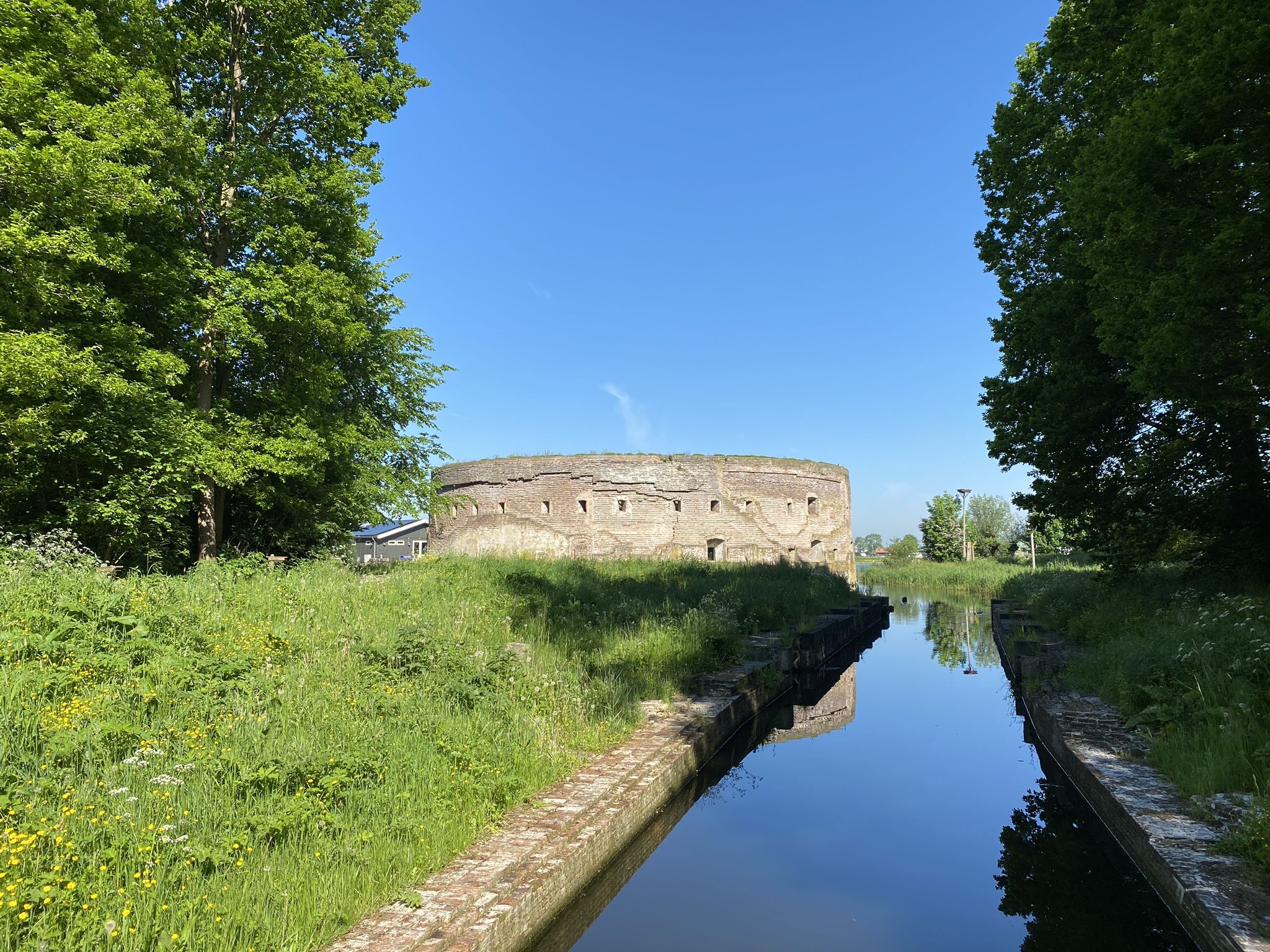
History and Nature – walking the Waterliniepad
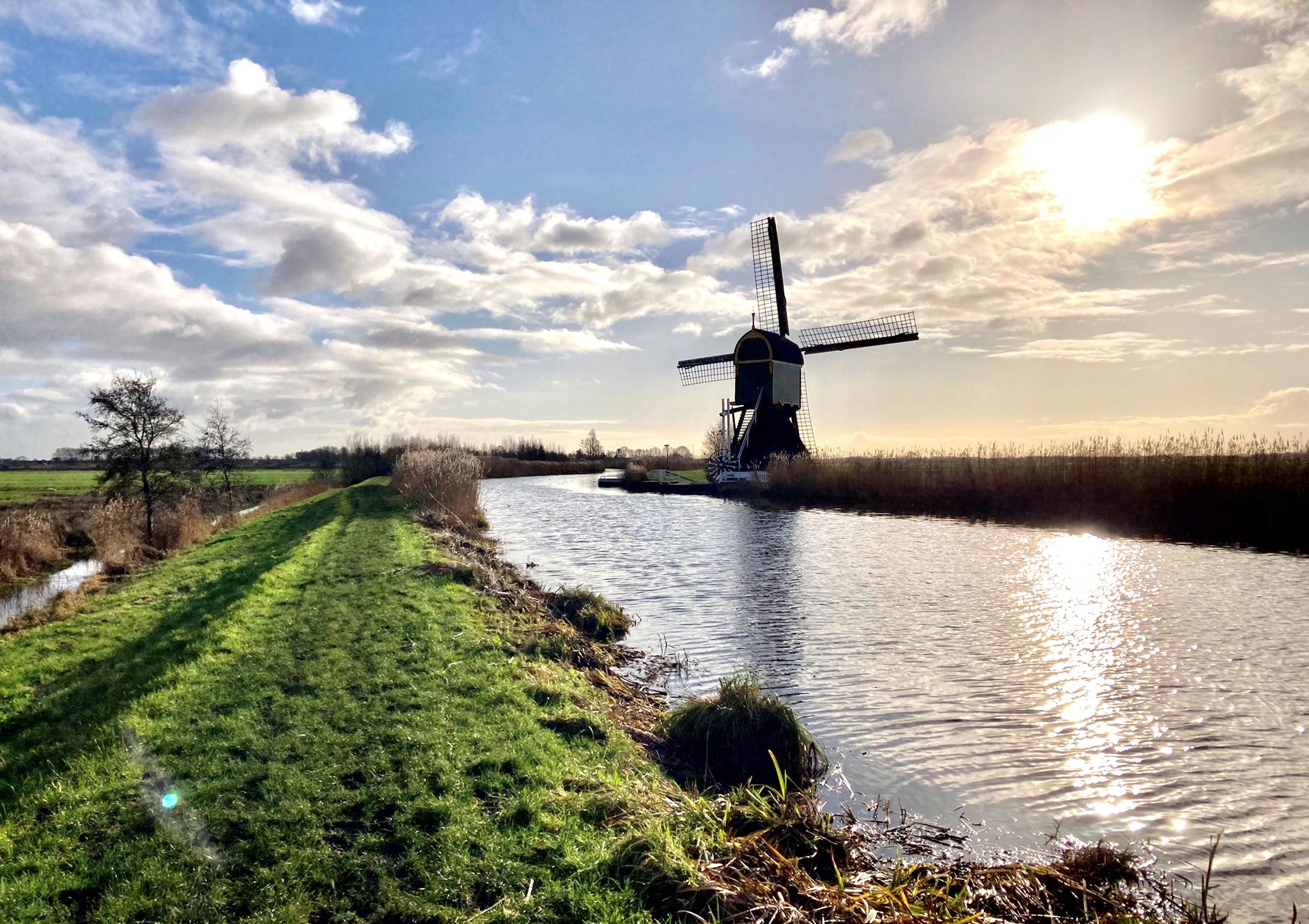
From the German border to the Dutch coast – Marskramerpad (LAW 3)
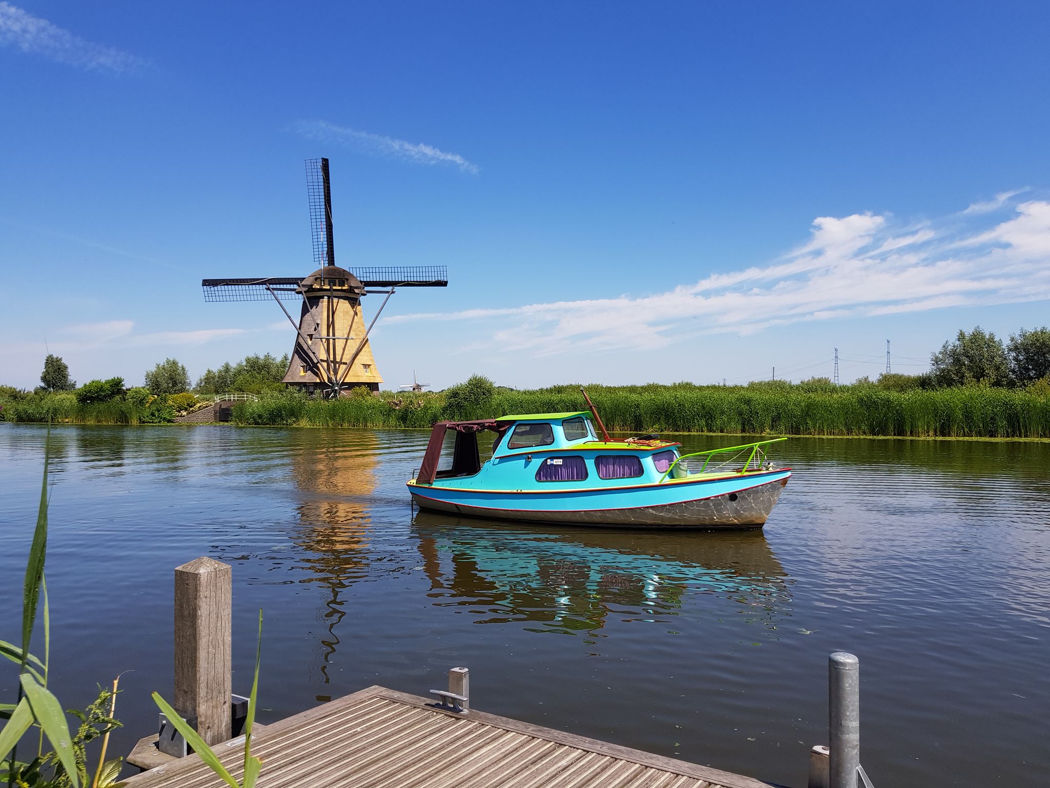
Floris V-pad long-distance hike – Dutch History on LAW 1-3
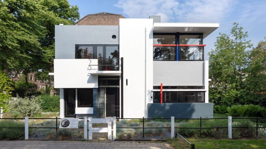
Cycling in the footsteps of artists in the Netherlands
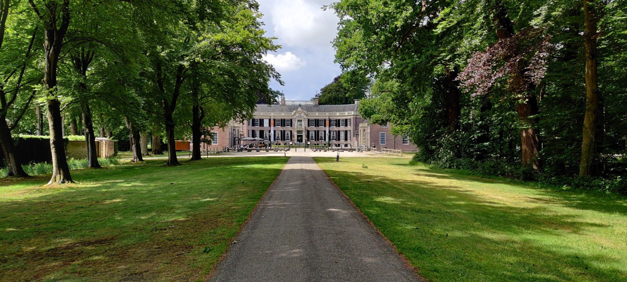
Discover hidden castles and idyllic country estates in Holland
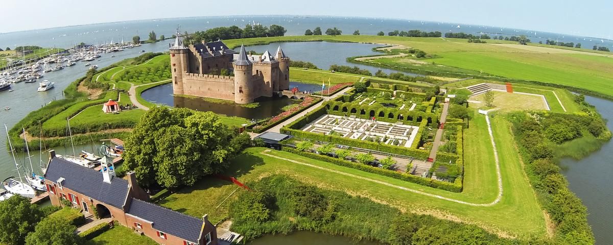
Cycling alongside Dutch castles
Other adventures around Stichtse Vecht


Tips from the Community

The drainage of the Breukelerveen and Tienhoven water board was originally carried out by two barges (built in 1649 and 1684) at the northern end of the Scheendijk-Noord in Breukelen. They discharged their water directly south of the Weersluis lock into the Vecht River. The mills were shut down in 1830 and demolished in 1840. By that time, the area of the Loosdrechtse Plassen had been created by peat extraction. In the eastern corner of Tienhoven, the land remained in agricultural use, and the farmers there suffered from significant flooding. They joined forces, established the Oostelijke Binnenpolder (Eastern Inner Polder), and had their own mill built, which discharged water into the Breukeleveen and Loosdrechtse Plassen. The necessary land was purchased in 1831, and the mill and adjacent lock were put into operation in 1833. It is suspected that an old upper house (from a demolished mill) was used in its construction. (https://www.molens.nl/ontdek-molens/alle-molens/de-trouwe-wachter-te-tienhoven)
2
0

Fun for young and old.
1
0
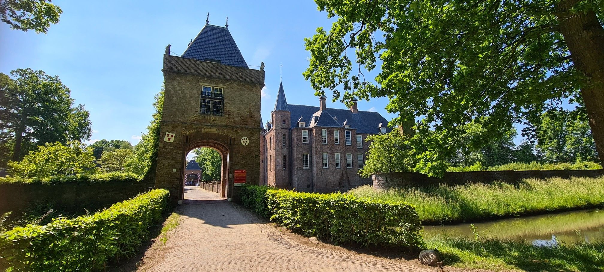
Beautiful castle here.
1
0
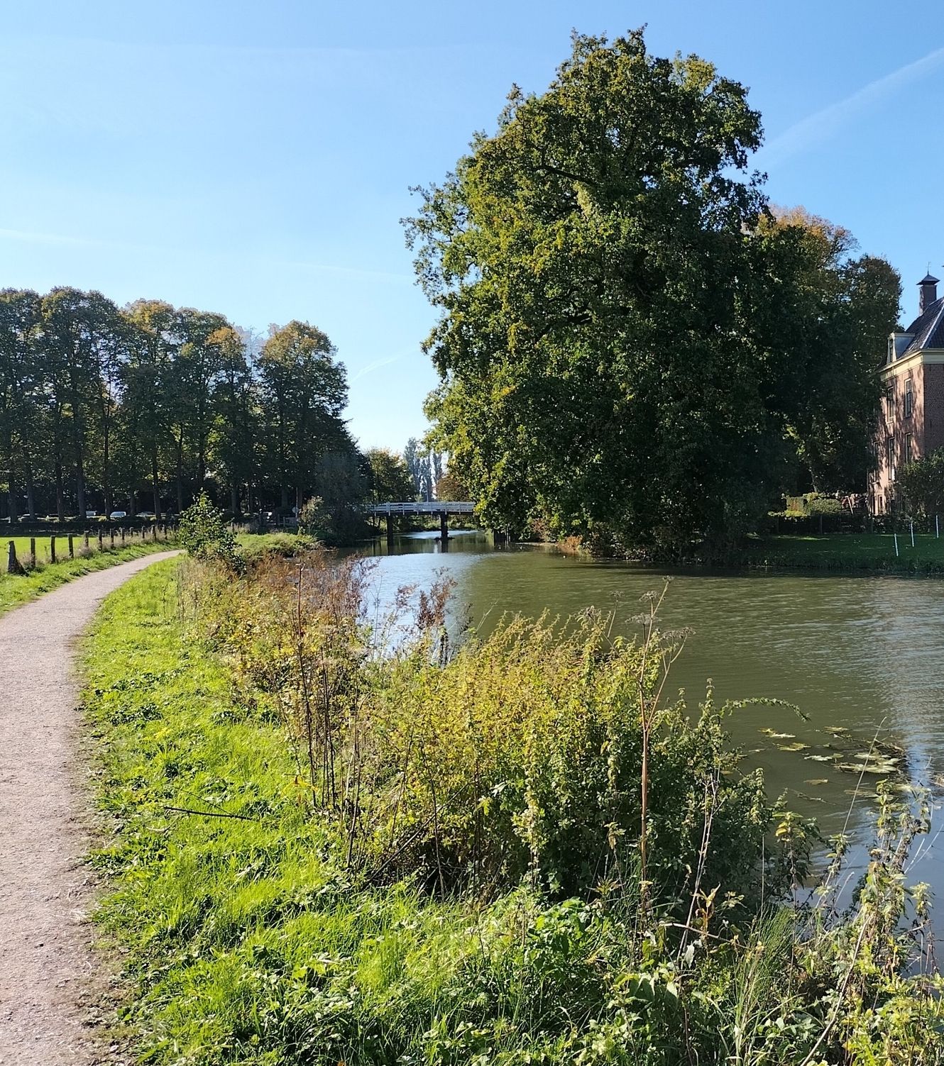
Nice path to walk.
1
0

This mill was used to drain the Polder Tienhoven from 1833 to 1947. The mill owes its name to its role in the Second World War. Since the Second World War, the mill has borne its current name. This is because of the signs that the then miller Arie van Garderen gave with the sails to people in hiding in the area. This is often spelled as "De Trouwe Waghter" but nowadays the normal spelling is used: "De Trouwe Wachter". Before that name came into use, this mill was also called the "Dwarsdijkmolen".
1
0

Here you can sit for a while and enjoy the surroundings.
0
0

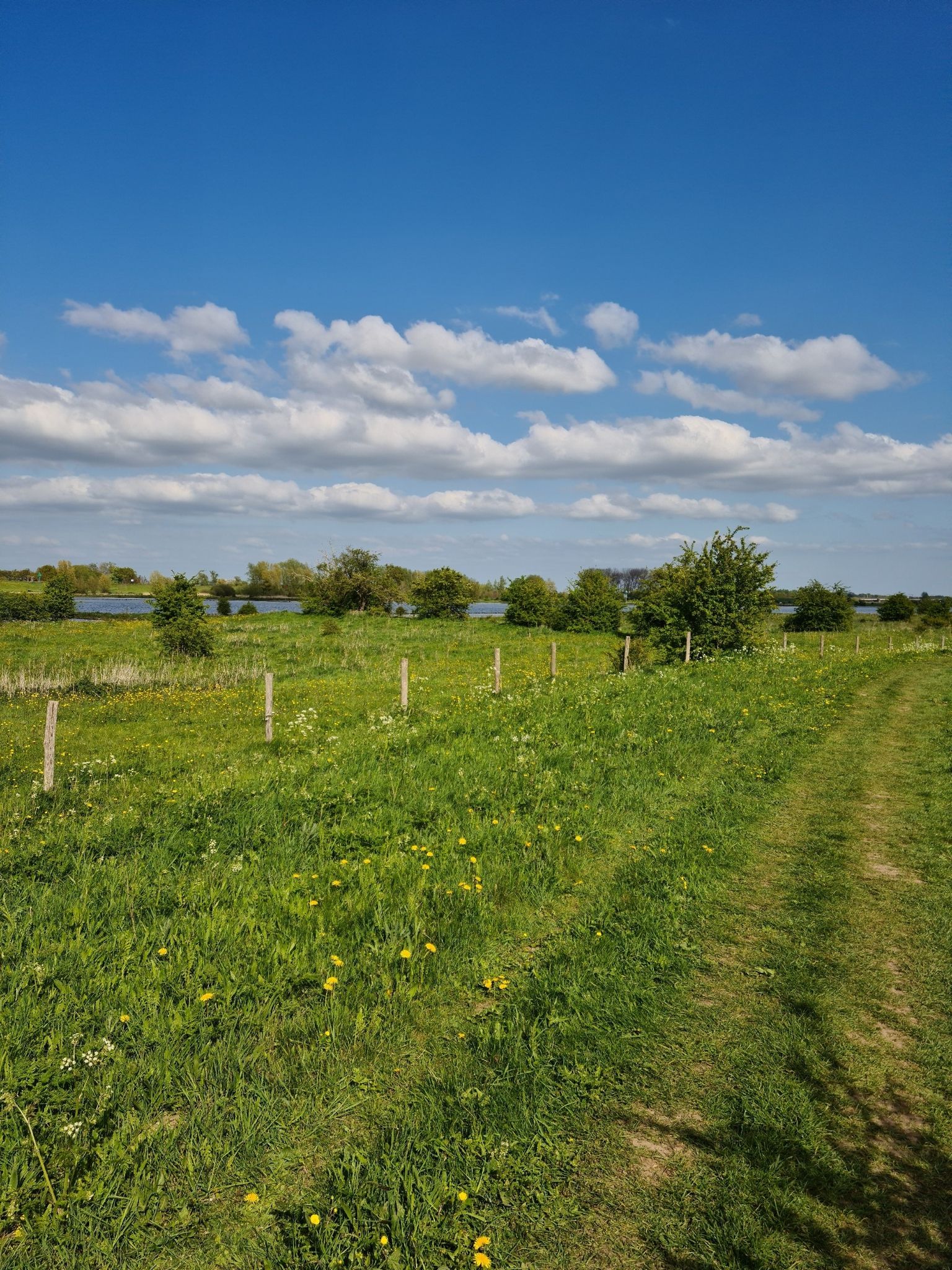
From this spot you have a great view over the Loenderveense Plas. The water of this lake is crystal clear. In the distance you can see the church tower of Loenen aan de Vecht
0
0

Close to a boardwalk, nice place
1
0
Frequently Asked Questions
What types of landscapes can I expect to see while hiking in Stichtse Vecht?
Stichtse Vecht offers a diverse range of landscapes. You'll find routes along the meandering River Vecht, famous for its 17th and 18th-century country estates. The region also features tranquil polder landscapes, expansive peat meadow areas, and recreational lakes like the Maarsseveense Plassen. Historic gardens and park-like forests contribute to the area's green heritage, providing varied terrain for hikers.
Are there many hiking trails available in Stichtse Vecht?
Yes, Stichtse Vecht boasts a comprehensive network of hiking trails. There are over 200 routes available, catering to various preferences and skill levels. These include easy, moderate, and a few more challenging options.
What historical landmarks or attractions can I discover along the hiking routes?
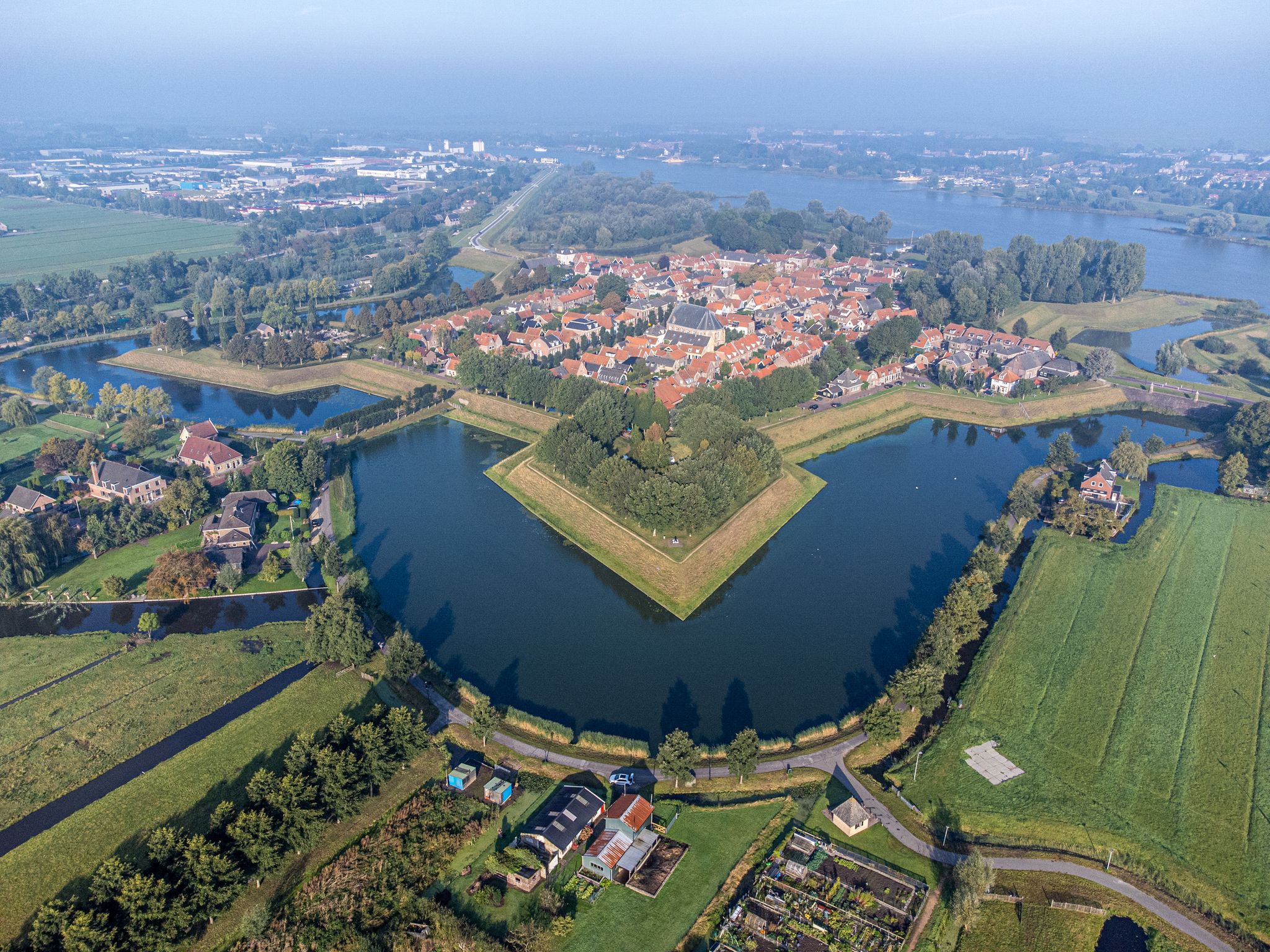
The region is rich in history and offers several notable landmarks. You can explore centuries-old country estates and castles such as Nijenrode Castle or the impressive De Haar Castle. Additionally, forts like Fort Maarsseveen and Fort Nieuwersluis, part of the New Dutch Waterline, are often incorporated into routes. Picturesque villages like Breukelen, Vreeland, and Nigtevecht also provide charming stops.
Are there any family-friendly hiking options in Stichtse Vecht?
Many of the trails in Stichtse Vecht are suitable for families, particularly the easier routes that traverse polder landscapes or follow the Vecht river. For example, the area around the Maarsseveense Plassen offers pleasant, relatively flat paths ideal for a family outing. Look for routes with shorter distances and minimal elevation gain.
Can I bring my dog on the hiking trails in Stichtse Vecht?
Many areas in Stichtse Vecht are dog-friendly, especially trails through polders and along the river. However, specific rules may apply in nature reserves or on private estates. It's always best to keep your dog on a leash and check local signage for any restrictions to ensure a pleasant experience for everyone.
What is the best time of year to go hiking in Stichtse Vecht?
Stichtse Vecht is beautiful year-round. Spring brings blooming nature, while summer offers lush green landscapes perfect for waterside walks. Autumn showcases vibrant colors, and even winter can be charming with crisp air and serene views, especially along the frozen polders. The flat terrain makes it accessible in most conditions.
Are there circular hiking routes available in the region?
Yes, Stichtse Vecht offers numerous circular hiking routes, allowing you to start and end at the same point. An example is the De Haar Castle – View of De Haar Castle loop from Haarzuilens, which takes you through the castle grounds. Many trails are designed as loops, making planning easier.
Where can I find parking for hiking trails in Stichtse Vecht?
Many popular hiking areas and starting points, known as Toeristisch Overstappunt (TOPs), offer designated parking facilities. For example, routes around the Maarsseveense Plassen or near larger villages like Breukelen often have convenient parking. It's advisable to check the specific route details on komoot for parking information near your chosen starting point.
Is it possible to reach hiking trails in Stichtse Vecht using public transport?
Yes, Stichtse Vecht is well-connected by public transport, making many hiking trails accessible without a car. Villages like Breukelen, Maarssen, and Vreeland have bus stops and some even train stations, from which you can often start your hike directly or with a short walk. Planning your route with public transport in mind is recommended.
What do other hikers appreciate most about the trails in Stichtse Vecht?
The trails in Stichtse Vecht are highly rated by the komoot community, with an average score of 4.4 stars. Reviewers often praise the picturesque scenery along the River Vecht, the tranquility of the polder landscapes, and the charming historic estates and villages encountered along the way. The well-maintained paths and varied natural beauty are frequently highlighted.
Are there opportunities for refreshment stops like cafes or pubs along the hiking routes?
Absolutely. The charming villages nestled along the Vecht, such as Breukelen, Vreeland, and Loenen, offer various cafes, restaurants, and pubs where you can enjoy a break and refreshments. Many routes are designed to pass through or near these villages, providing convenient opportunities for a coffee or a meal.
Are there any specific natural features that stand out in Stichtse Vecht?
The region is defined by its water-rich environment. The River Vecht itself is a prominent feature, lined with historic estates. Beyond that, the expansive polder landscapes and peat areas offer unique Dutch countryside views. The Maarsseveense Plassen and the nearby Loosdrechtse Plassen are significant recreational lakes, providing beautiful waterside walking experiences.
Most popular routes around Stichtse Vecht
Most popular attractions around Stichtse Vecht

Get inspired with the komoot mobile app


Explore more
Browse the best Hikes in other regions.
