The best mountain hikes around Lac de Louvie
4.0
(2)
20
hikers
3
hikes
Mountaineering routes around Lac de Louvie are situated in the Val de Bagnes, Switzerland, offering challenging alpine terrain. The region is characterized by a rugged mountain landscape, with the lake itself at 2,213 meters (7,260 feet) surrounded by a dramatic glacial backdrop and views of the Grand Combin and Petit Combin massifs. The area features green alpine meadows, grey rocky peaks, and high mountain passes, providing diverse environments for experienced mountaineers.
Best mountaineering routes around Lac de Louvie
- The most…
Last updated: July 11, 2026
3.0
(1)
5
hikers
7.61km
03:07
470m
470m
Moderate mountaineering route. Good fitness required. Mostly accessible paths. Sure-footedness required.
5.0
(1)
11
hikers
23.4km
08:45
1,060m
1,060m
Hard mountaineering route. Very good fitness required. Sure-footedness, sturdy shoes and alpine experience required.

Sign up for free
4
hikers
8.66km
04:04
670m
670m
Moderate mountaineering route. Good fitness required. Mostly accessible paths. Sure-footedness required.
Our route recommendations are based on thousands of hikes, rides, and runs completed by other people on komoot.
Start today with a free account
Your next adventure awaits.
Login or Signup
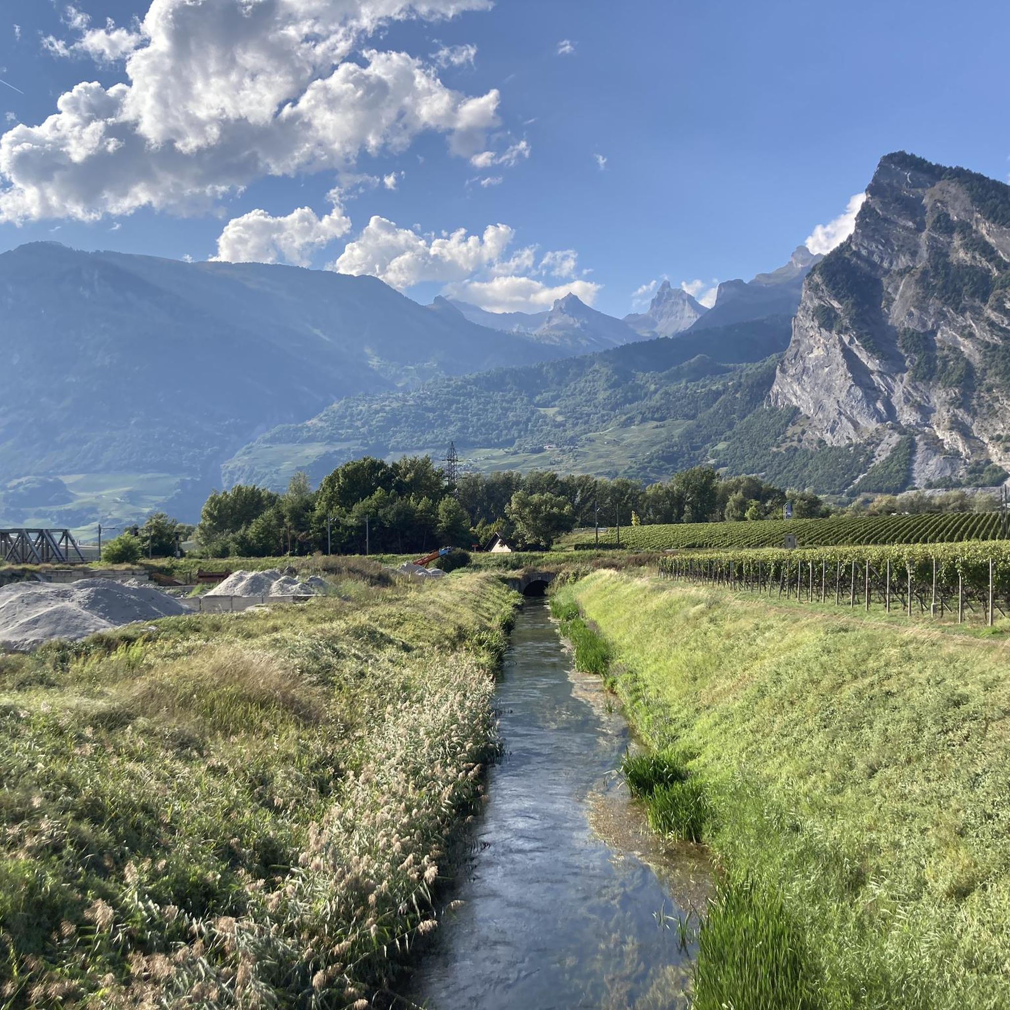
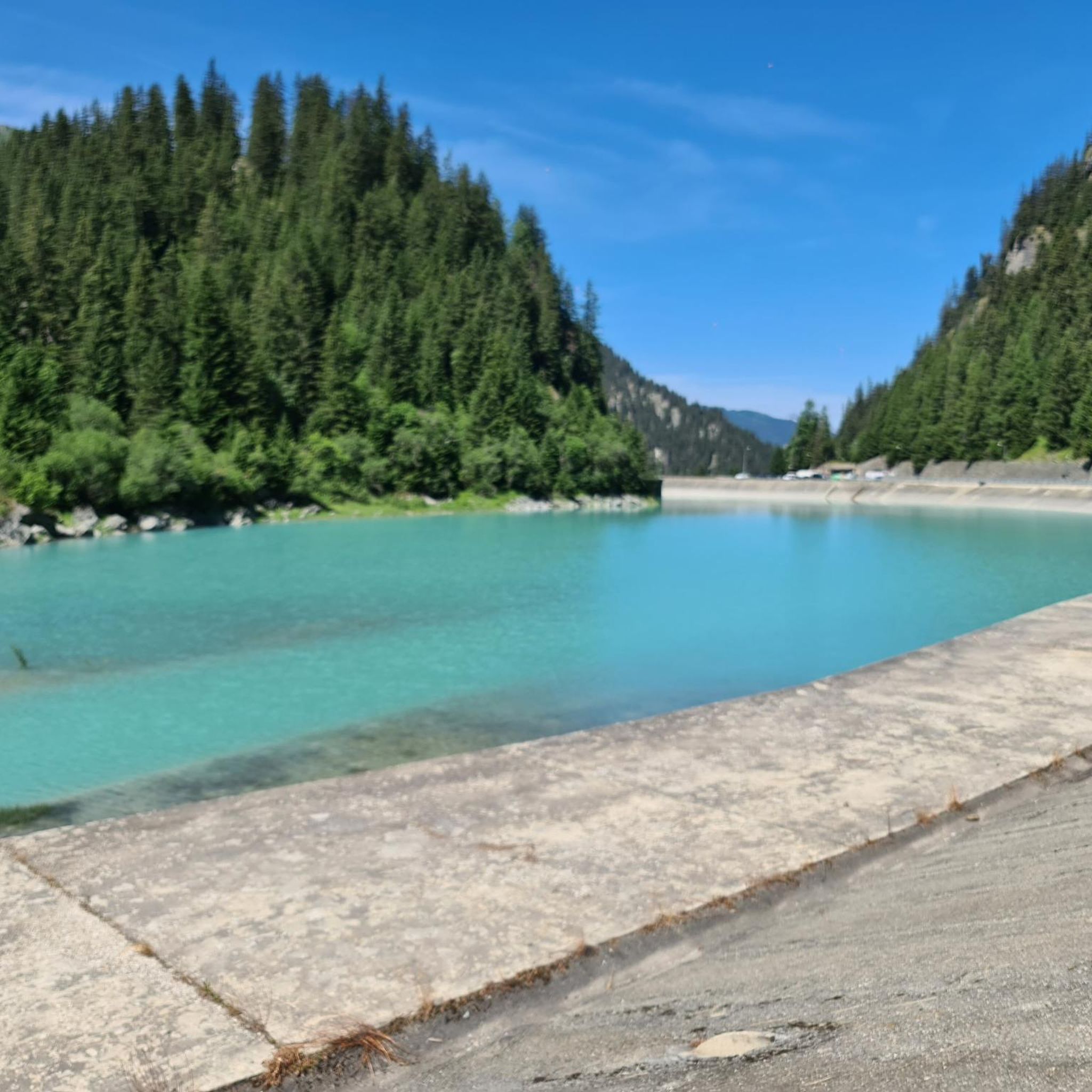
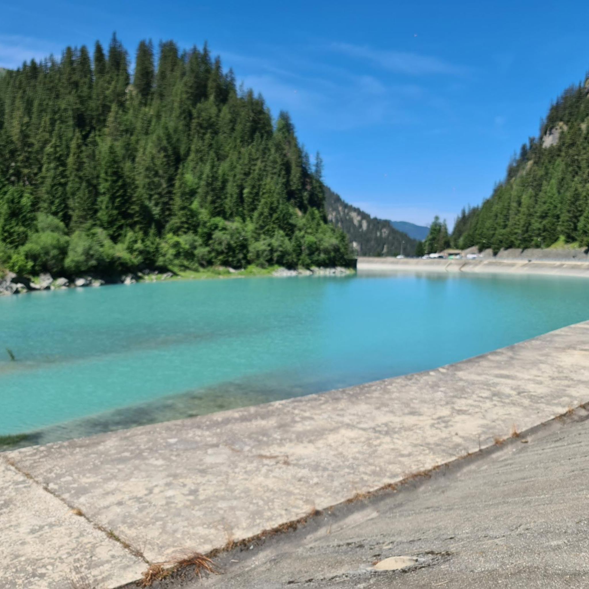
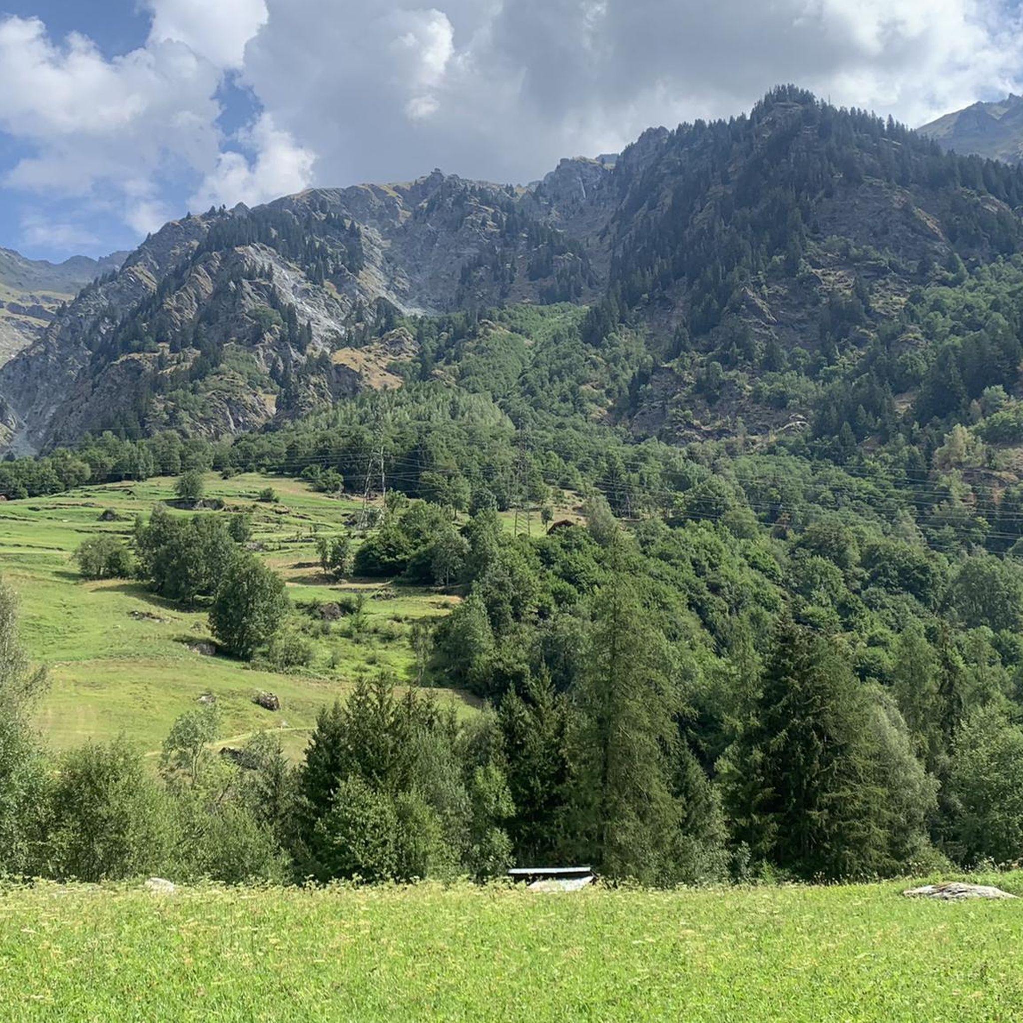
Tips from the Community

Well-marked trails through a rocky valley, with the Prafleuri mountain hut at the top of the valley where you can sit, eat and drink.
0
0

The Ruinettes (approx. 2,200 m above sea level) are an important starting point for hikers, mountain bikers and skiers in the 4 Vallées region.
0
0

From Les Ruinettes, steep and rocky, at least the 'direct' path is.
0
0

Cabin with wonderful view on a great terrace
0
0

Whether you're coming from the south or the north, the spot where the glacial runoff pours into Lake Dix is truly impressive. You can take a break and watch the massive masses of water for a long time. The lake is located at an elevation of 2,362 meters. Fun fact: the dam at the other end of Lac des Dix is, at 285 meters, the tallest structure in Switzerland.
0
0

Super fun, flowy, long blue trail! Pay attention to the unexpected steepness changes.
1
0
Frequently Asked Questions
What is the general difficulty level of mountaineering routes around Lac de Louvie?
Mountaineering routes in the Lac de Louvie area are generally challenging, requiring a good level of fitness, sure-footedness, and alpine experience. The terrain features steep climbs, high mountain passes, and sometimes steep drop-offs. You'll find options ranging from moderate, like the Lac Rogneux – Creblet loop from Verbier, to difficult, such as the Corbassière Footbridge – Cabane FXB Panossière loop from Le Pessot.
What kind of landscapes and views can I expect on these mountaineering routes?
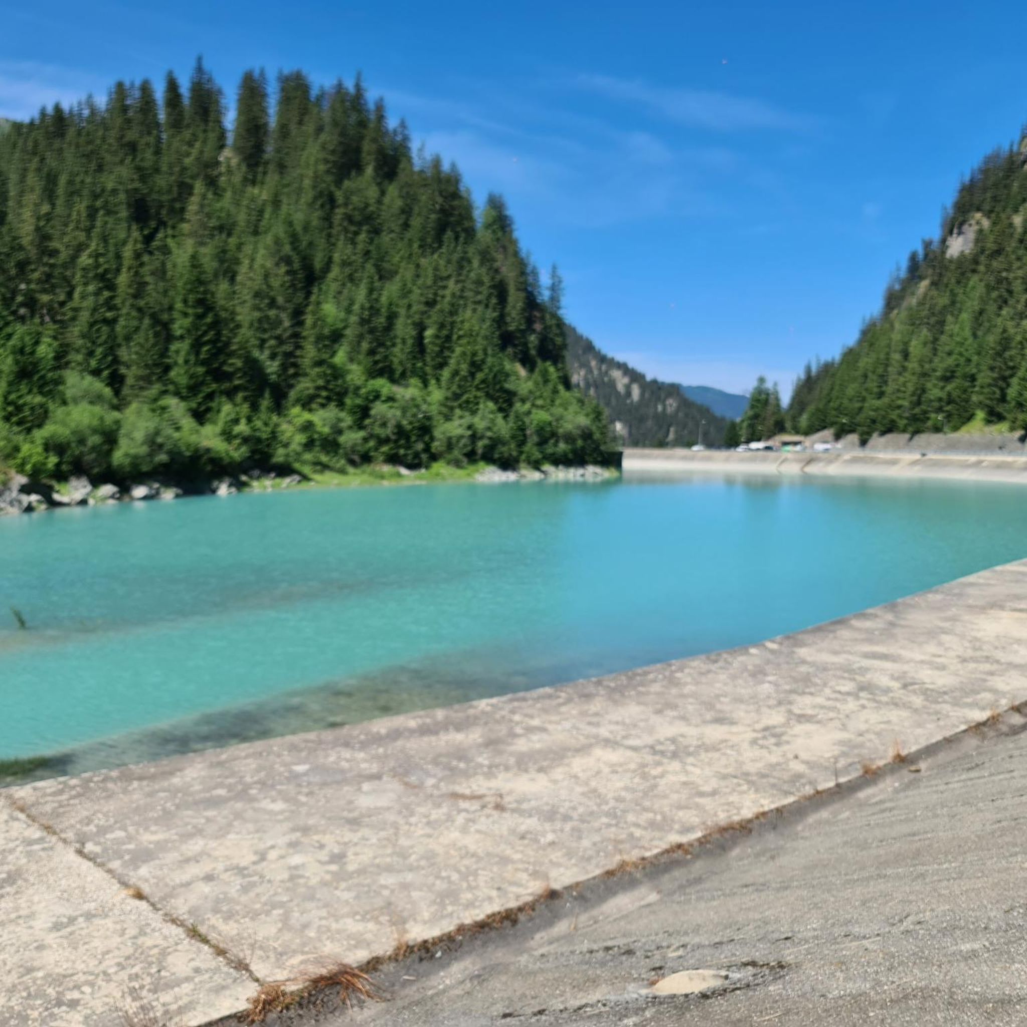
The region offers stunning alpine landscapes. You'll encounter the vibrant turquoise Lac de Louvie itself, surrounded by a rugged mountain environment with dramatic glacial backdrops. Expect panoramic views of the Grand Combin and Petit Combin massifs, green alpine meadows, and grey rocky peaks. From points like Cabane du Mont Fort, you can even enjoy sweeping views of the Mont Blanc range.
When is the best time of year for mountaineering around Lac de Louvie?
The best time to visit for mountaineering is typically during the warmer months, from July to September. During this period, the ice has thawed, and the trails are generally more accessible. It's advisable to start early in the day to maximize daylight and avoid afternoon thunderstorms, which are common in the Alps during summer.
Are there any circular mountaineering routes in the area?
Yes, there are several circular routes available for mountaineering. For example, the Corbassière Footbridge – Cabane FXB Panossière loop from Le Pessot is a challenging 16.1 km circular trail. Another option is the Lac Rogneux – Creblet loop from Verbier, which is a moderate 7.6 km circular path offering alpine views.
What notable landmarks or attractions can I see along the mountaineering routes?
The area is rich in natural and historic attractions. A significant feature is the Cabane de Louvie, a mountain hut offering spectacular views. Other notable points include the Sentier de Chamois with its sweeping vistas, high mountain passes like Col Termin and Col du Bec d'Aigle, and the Tête du Sarshlau, which provides expansive views including the Lac de Mauvoisin reservoir. You might also spot beautifully restored, early 19th-century barns along certain routes.
Are there any mountain huts or places to stay overnight near the routes?
Yes, the Cabane de Louvie, perched above the lake at 2,250 meters, serves as an excellent place for hikers to rest, enjoy a meal, or even spend the night. It's a common meeting point for various multi-day treks in the region.
What wildlife might I encounter while mountaineering in Val de Bagnes?
The Lac de Louvie area is located within the Upper Val de Bagnes Nature Reserve, one of Switzerland's finest protected wildlife areas. You have opportunities to spot alpine species such as marmots, ibex, and chamois, especially in the quieter sections of the trails.
What should I pack for mountaineering around Lac de Louvie in summer?
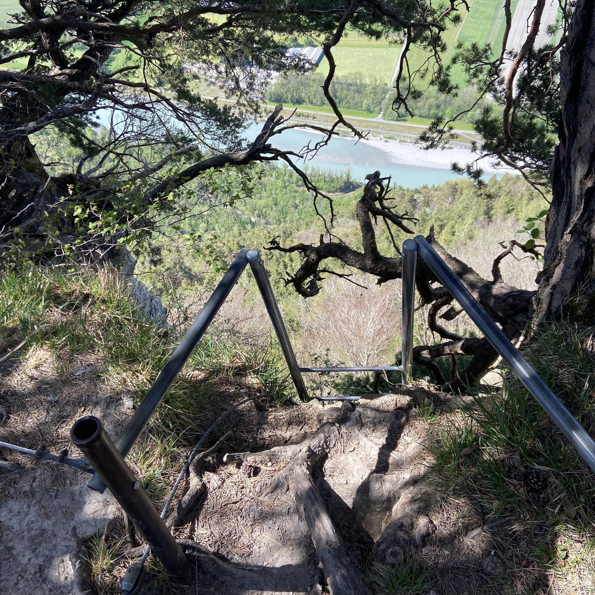
Given the challenging nature of the trails, it's essential to pack sturdy hiking shoes, appropriate layers for varying alpine weather, and gear for sure-footedness. Some sections may even be equipped with chains for aid, so be prepared for rugged terrain. Always carry enough water, snacks, and sun protection.
Are there any less-traveled or 'hidden gem' mountaineering routes in the area?
While many routes offer solitude, consider exploring the Grande Dixence Dam – Grande Dixence Dam loop from La Grande Dixence. This moderate 10.7 km route offers impressive elevation gains and takes you through a different part of the region, providing a unique perspective away from the immediate vicinity of Lac de Louvie.
How many mountaineering routes are available around Lac de Louvie?
There are several mountaineering routes around Lac de Louvie, with komoot featuring 6 distinct tours. These include a mix of moderate and difficult options, catering to experienced mountaineers looking for alpine challenges.
What do other mountaineers say about the routes in Lac de Louvie?
The mountaineering routes in Lac de Louvie are highly rated by the komoot community, with an average score of 4.5 stars from 7 reviews. Mountaineers often praise the rugged mountain landscapes, the dramatic glacial backdrops, and the expansive views from high alpine passes.
Are there any options for advanced mountaineers looking for a significant challenge?
Absolutely. For advanced mountaineers, routes like the Cabane des Dix – Grande Dixence Dam loop from La Grande Dixence present a significant challenge. This difficult 23.8 km route involves over 1000 meters of elevation gain, offering a strenuous and rewarding alpine experience.
Most popular routes around Lac de Louvie

Get inspired with the komoot mobile app


Explore more
Browse the best Mountain Hikes & Routes in other regions.
