The best mountain hikes around Lake Sils
5.0
(20)
232
hikers
12
hikes
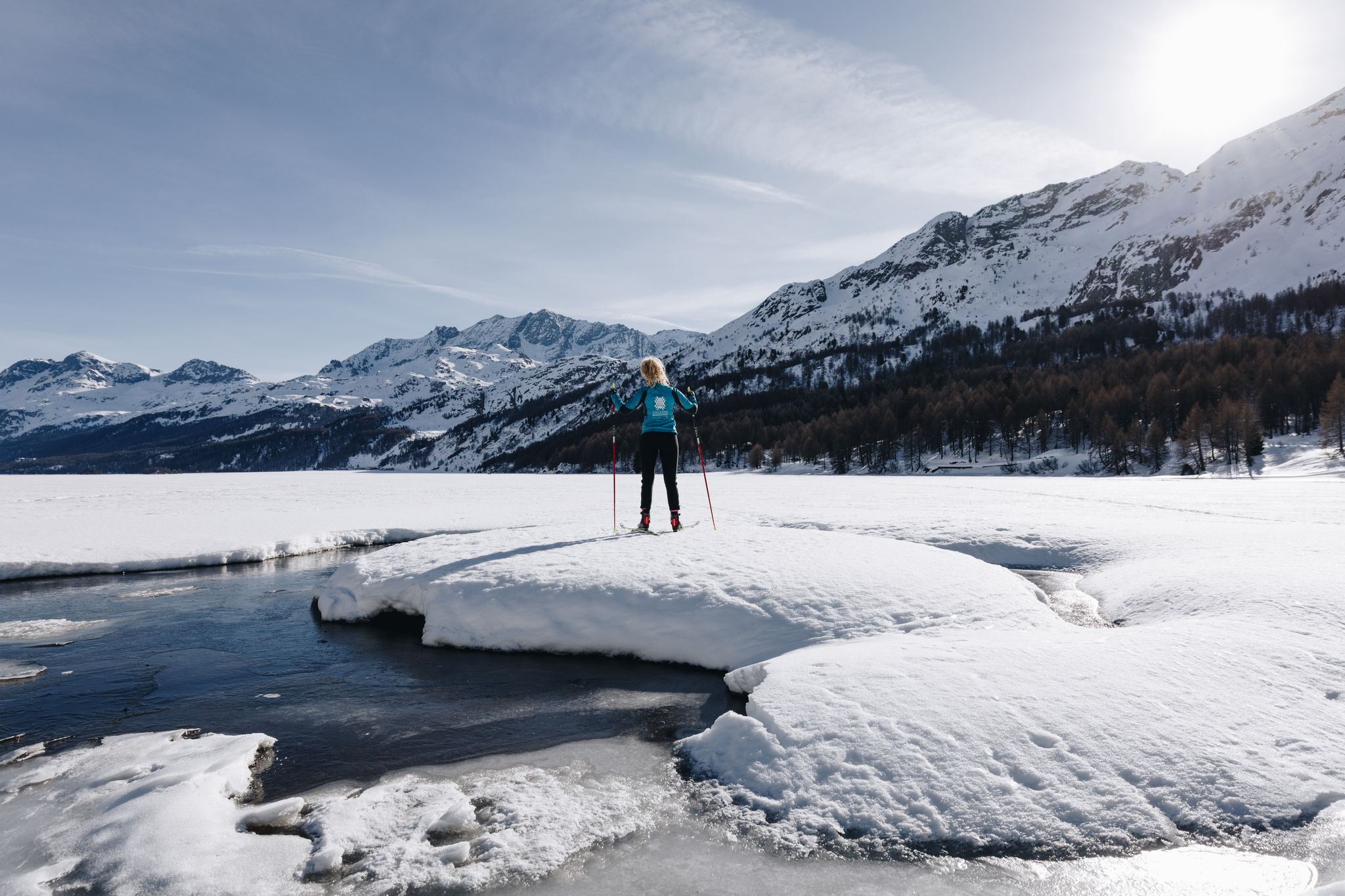
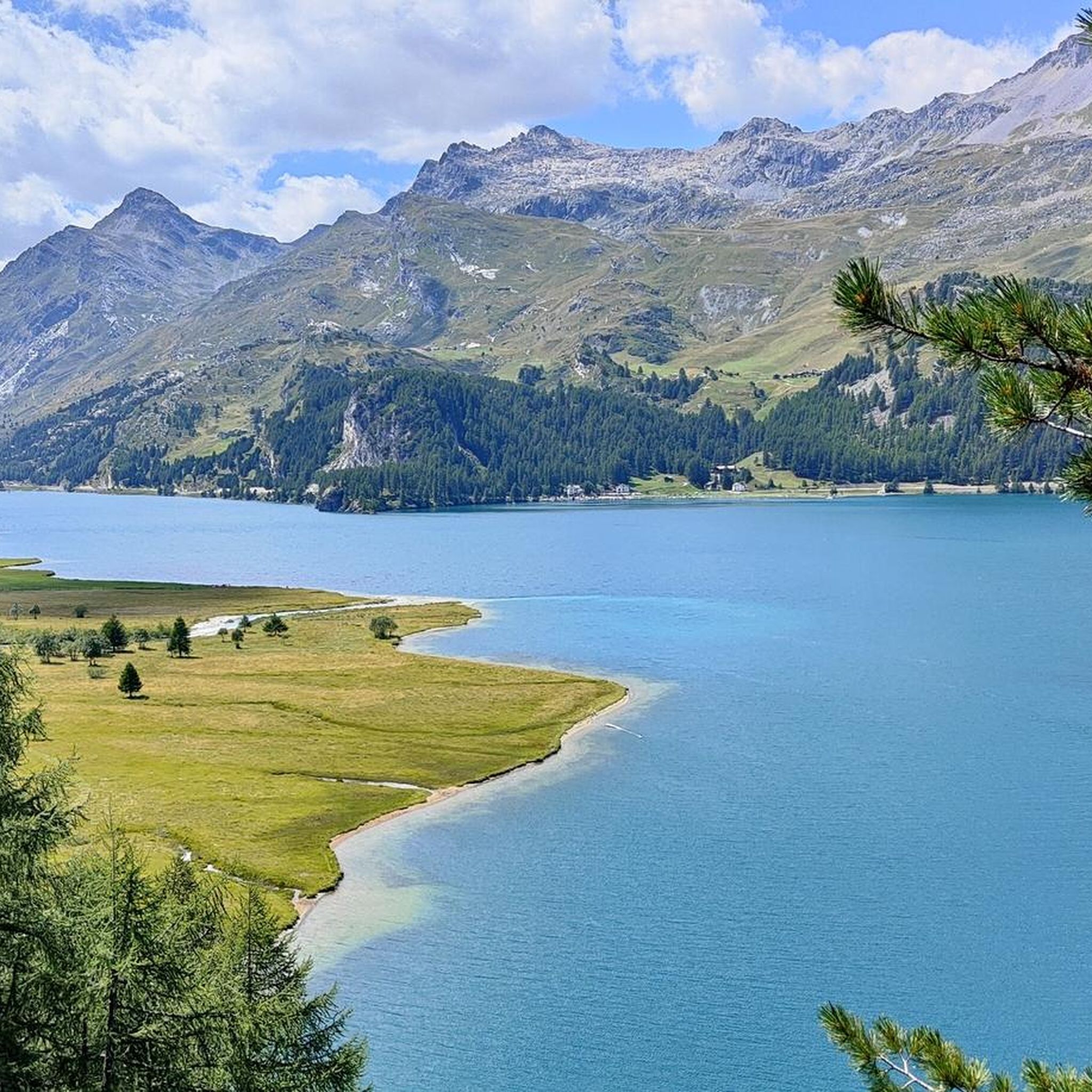
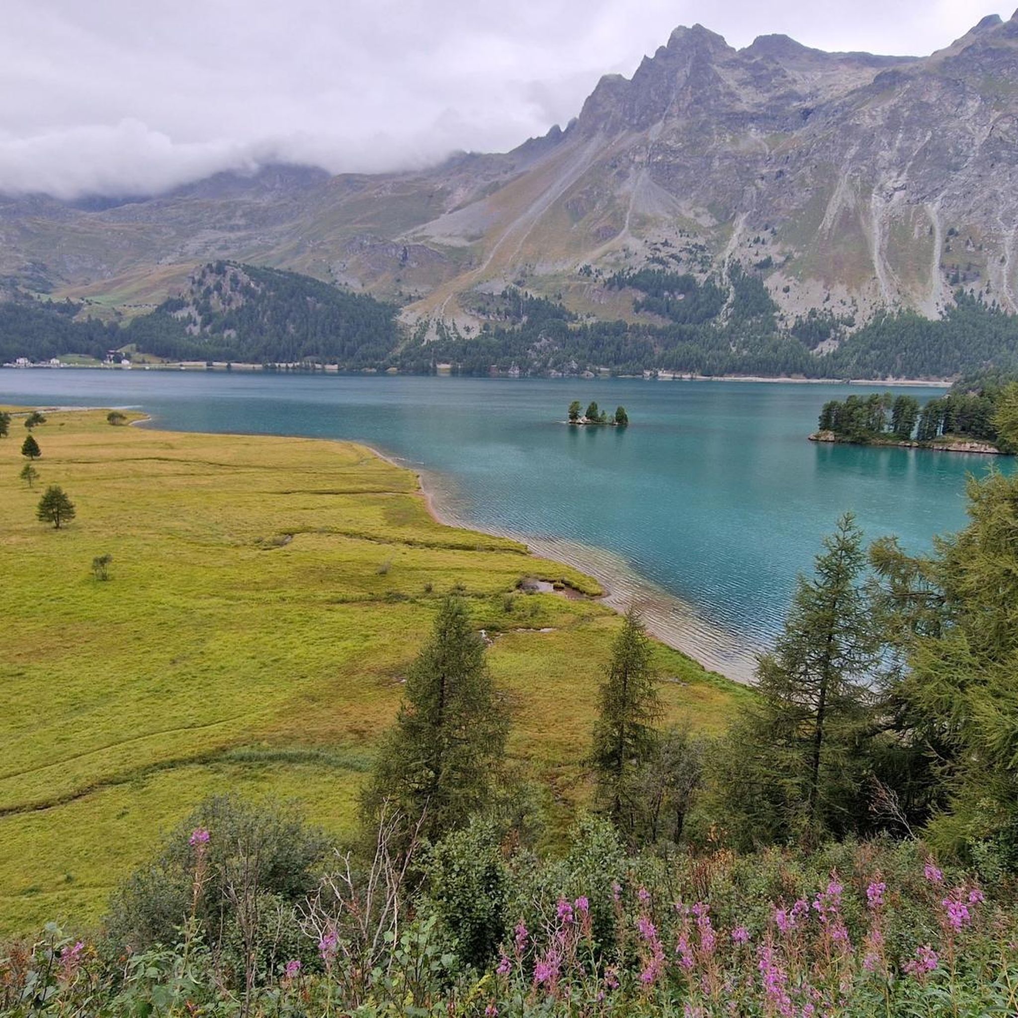
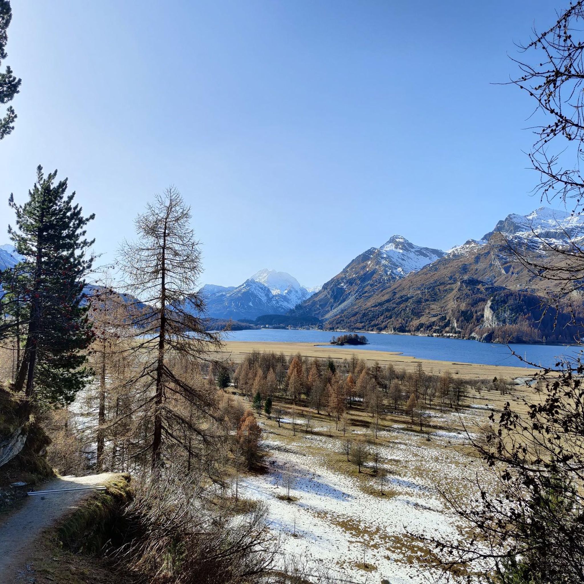
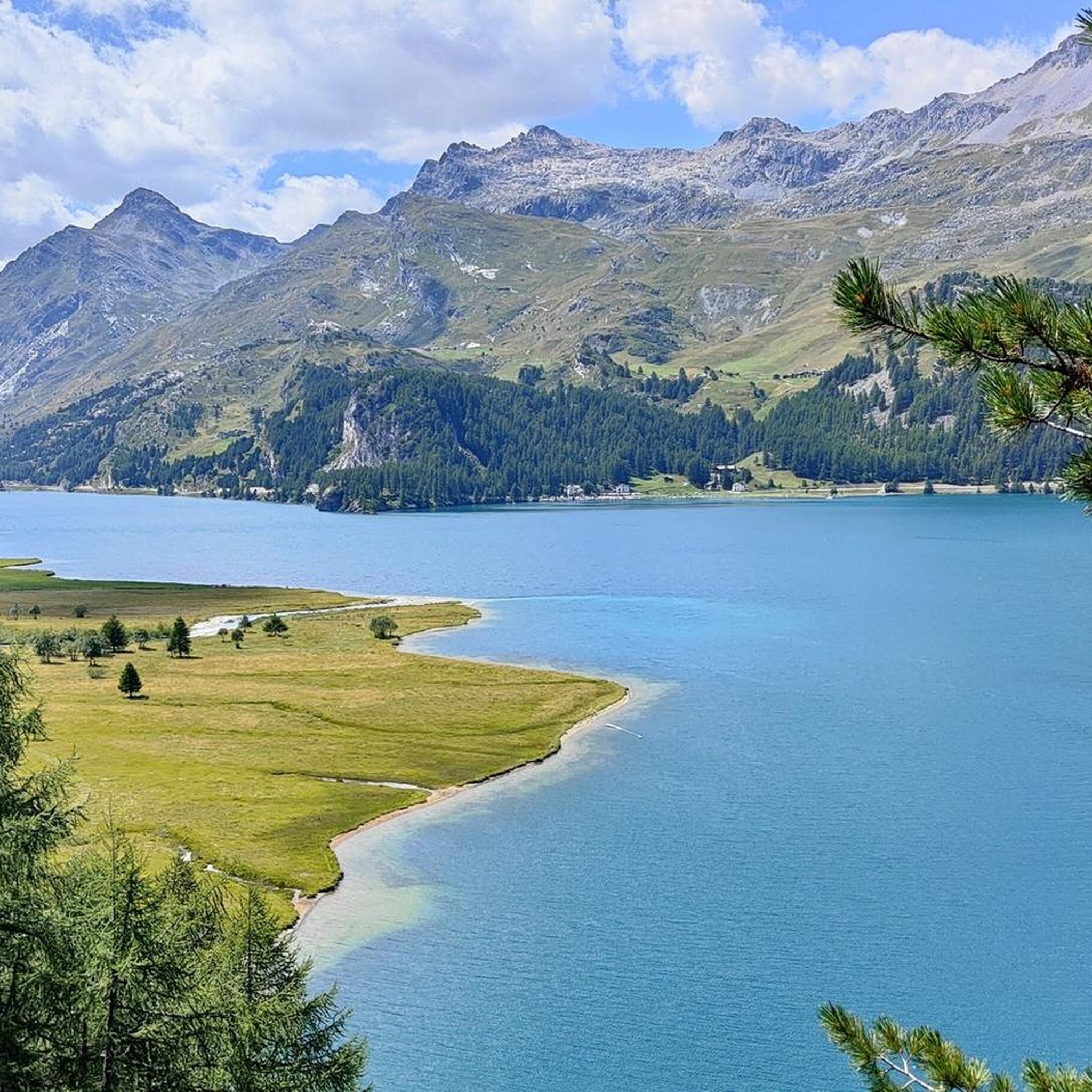
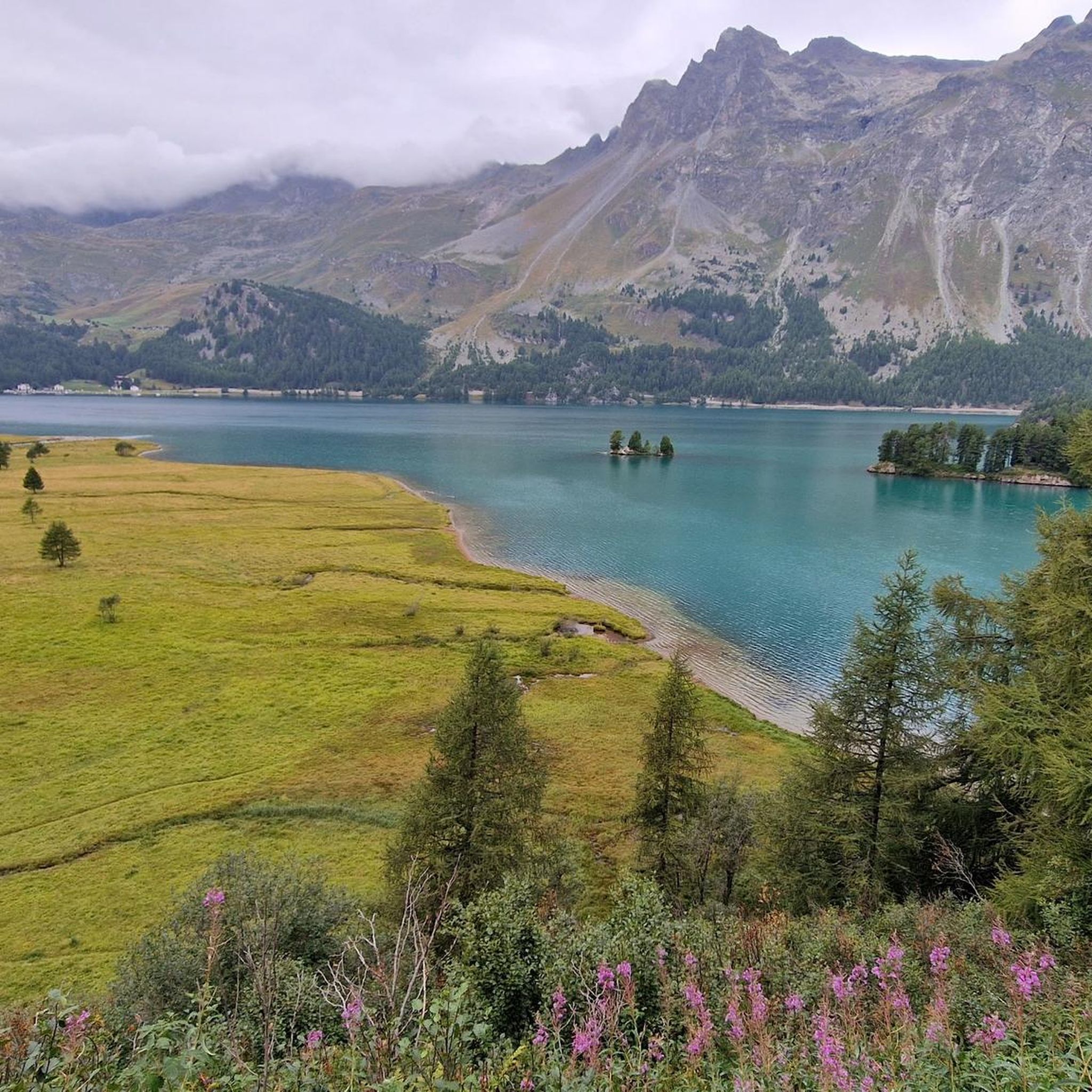
Mountaineering around Lake Sils offers diverse alpine experiences within the Upper Engadine region. The area is characterized by majestic mountain peaks such as Piz Corvatsch, Piz Grevasalvas, and the demanding Piz da la Margna, with the drainage basin extending to Piz Fora and its Vadrec da Fedoz glacier. Lake Sils itself features crystal-clear waters, surrounded by picturesque larch forests and high valleys like Val Fex, providing a varied terrain for challenging ascents and high-altitude routes.
Best mountaineering routes around Lake…
Last updated: October 14, 2026
4.7
(3)
30
hikers
17.1km
07:45
1,030m
1,030m
Hard mountaineering route. Very good fitness required. Sure-footedness, sturdy shoes and alpine experience required.
5.0
(1)
6
hikers
13.9km
06:59
1,080m
1,080m
Hard mountaineering route. Very good fitness required. Sure-footedness, sturdy shoes and alpine experience required.

13
hikers
12.8km
05:06
660m
660m
Hard mountaineering route. Very good fitness required. Mostly accessible paths. Sure-footedness required.
8
hikers
15.9km
06:20
960m
960m
Hard mountaineering route. Very good fitness required. Mostly accessible paths. Sure-footedness required.
2
hikers
15.2km
04:29
320m
320m
Moderate mountaineering route. Good fitness required. Mostly accessible paths. Sure-footedness required.
Get access to more routes and recommendations from other explorers.
Already have an account?
Our route recommendations are based on thousands of hikes, rides, and runs completed by other people on komoot.
Start today with a free account
Your next adventure awaits.

Other adventures around Lake Sils

Tips from the Community


Beautiful little lake, there is also a nice viewpoint with a bench!
0
0

It rolls well, it's fun ...
0
0
Beautiful place... great to ride there
0
0
Great to see the lake in good weather...
0
0

A triple watershed is indeed something quite rare. Besides, it's simply wonderfully lonely and beautifuuuul up here
0
0
Frequently Asked Questions
How many mountaineering routes are available around Lake Sils?
There are 15 dedicated mountaineering routes around Lake Sils documented on komoot, offering a variety of challenging alpine experiences. These routes are highly rated by the komoot community, with an average score of 4.9 stars.
Are there any mountaineering routes suitable for less experienced climbers or those seeking a moderate challenge?
While many routes around Lake Sils are classified as difficult, there are 5 routes considered moderate. These still offer a good challenge and allow you to experience the stunning alpine landscape without the most extreme demands. You can explore options like the Trail to Alp da Segl – View into the Fex Valley loop from Sils im Engadin, which provides magnificent views into the largely traffic-free Val Fex.
What kind of natural features and landmarks can I expect to see along the mountaineering routes?
Mountaineering routes around Lake Sils often feature majestic mountain peaks like Piz Corvatsch and Piz Grevasalvas, crystal-clear lake waters, and picturesque larch forests that turn golden in autumn. You might also encounter the tranquil Plan Brüsciabräga at Lake Sils or pass by the Nietzsche Memorial Plaque on the Chastè Peninsula, which extends into the lake.
Are there any circular mountaineering routes around Lake Sils?
Yes, several mountaineering routes around Lake Sils are designed as loops, allowing you to start and end at the same point. For example, the Ascent to Piz Lunghin – Piz Lunghin Summit loop from Passo della Maloja - Malojapass 1815 m is a popular choice, leading to the summit of Piz Lunghin with expansive views. Another option is the Mountain lake with trout loop from Lake Sils, which takes you through alpine terrain to a serene mountain lake.
What is the best time of year for mountaineering around Lake Sils?
The best time for mountaineering around Lake Sils is typically during the warmer months, from late spring to early autumn. During this period, trails are generally free of snow, and the weather is more stable. Autumn is particularly magical when the larch forests surrounding the lake turn golden. Always check local weather and trail conditions before heading out, as alpine weather can change rapidly.
Are there any routes that offer views of the famous Val Fex?
Yes, some routes provide stunning views into the Val Fex, a beautiful, largely traffic-free high valley known for its flower-filled alpine meadows and shady forests. The Trail to Alp da Segl – View into the Fex Valley loop from Sils im Engadin is an excellent option for experiencing these vistas.
What do other mountaineers say about the routes in Lake Sils?
The mountaineering routes around Lake Sils are highly regarded by the komoot community, with an impressive average rating of 4.9 stars from over 20 reviews. Mountaineers often praise the diverse terrain, the stunning panoramic views from peaks like Piz Lunghin, and the unique natural beauty of the Engadine lakes and larch forests.
Can I reach the trailheads using public transport?
Lake Sils is well-integrated into the Upper Engadine's public transport network. Many trailheads, especially those starting from villages like Sils im Engadin or Maloja Pass, are accessible by bus. It's advisable to check local bus schedules for specific routes and starting points to plan your journey effectively.
Are there any routes that pass by Lake Lunghin or offer views of it?
Yes, the region offers routes that include Lake Lunghin. The Ascent to Piz Lunghin – Lunghinsee loop from Passo della Maloja - Malojapass 1815 m is a challenging path that traverses high-altitude terrain, providing views of Lunghinsee and the surrounding alpine landscape.
What is the typical elevation gain on the more challenging mountaineering routes?
The more challenging mountaineering routes around Lake Sils often involve significant elevation gains. For instance, the Ascent to Piz Lunghin loop from Maloja Pass features an ascent of over 1,100 meters, providing a demanding workout and rewarding panoramic views.
Are there any specific peaks that are particularly popular for mountaineering in the area?
Piz Lunghin is a very popular destination for mountaineers, known for its expansive views and the unique triple watershed it represents. Other impressive mountains in the region include Piz Corvatsch, Piz Grevasalvas, and the demanding Piz da la Margna, which also offers magnificent panoramic views of the Engadine lakes from its summit.
What kind of terrain can I expect on these mountaineering tours?
The terrain on mountaineering tours around Lake Sils is varied and typically alpine. You can expect a mix of rocky paths, steep ascents and descents, and sections through alpine meadows and larch forests. Some routes may involve scree fields or require sure-footedness, especially at higher altitudes. The region's drainage basin extends to Piz Fora, which includes the Vadrec da Fedoz glacier, adding to the dramatic alpine scenery.
Most popular routes around Lake Sils
Most popular attractions around Lake Sils

Get inspired with the komoot mobile app


Explore more
Browse the best Mountain Hikes & Routes in other regions.
