The best running trails around Dunlade Glebe
5.0
(1)
256
runners
11
runs
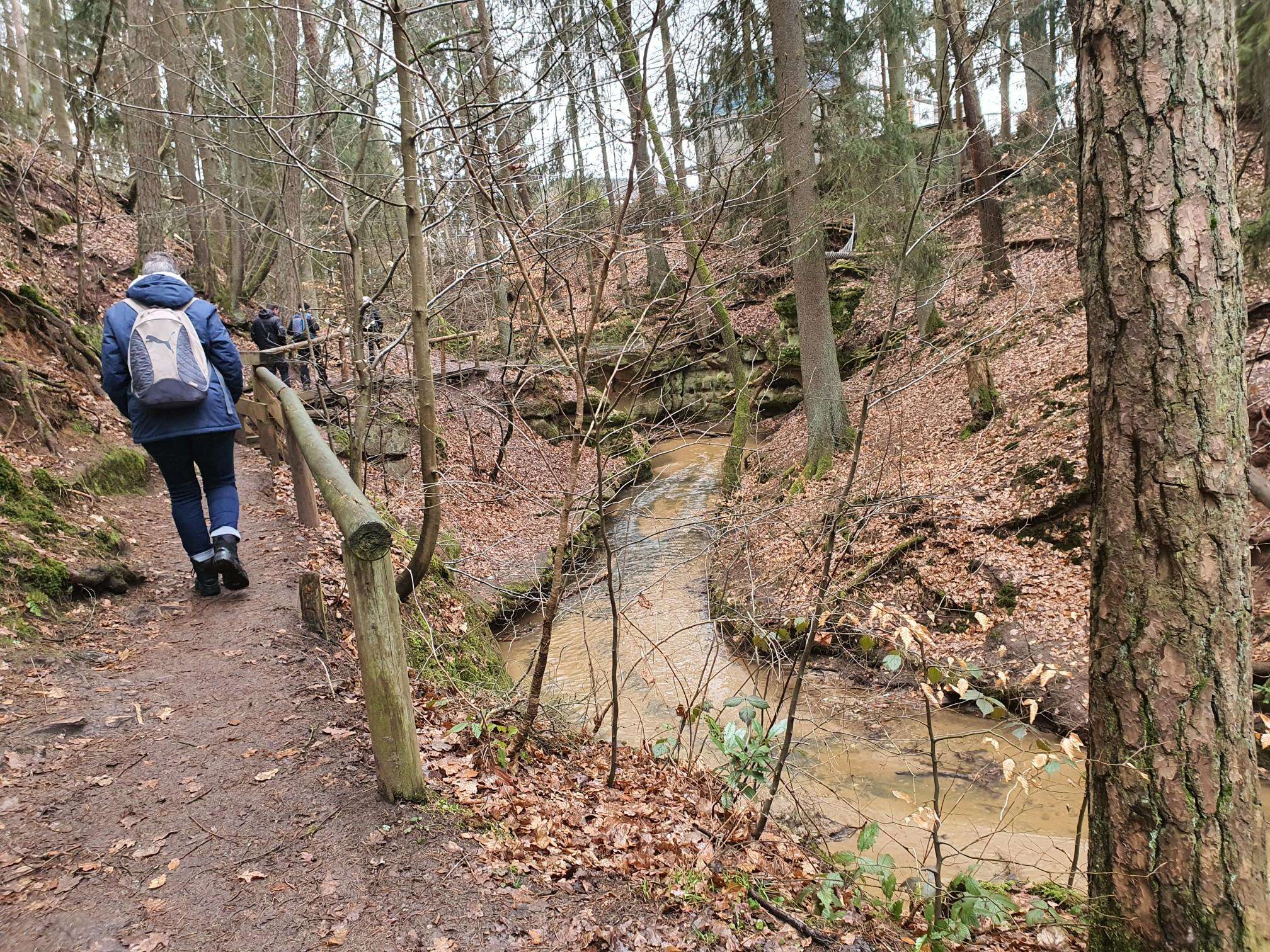
Jogging routes around Dunlade Glebe offer a diverse range of running experiences across varied terrain. The region features a mix of forest paths, open parklands, and routes that traverse rural landscapes. Elevation changes are generally mild, with some trails presenting more challenging ascents. This area provides opportunities for runners to explore the natural environment and local surroundings.
Best jogging routes around Dunlade Glebe
- The most popular jogging route is Park loop from Eglinton, a 12.1 miles (19.5 km) trail…
Last updated: June 26, 2026
8
runners
5.65km
00:35
10m
10m
Moderate run. Good fitness required. Mostly paved surfaces. Suitable for all skill levels.
7
runners
11.1km
01:28
310m
310m
Hard run. Very good fitness required. Mostly paved surfaces. Suitable for all skill levels.

Sign up for free
7
runners
Moderate run. Good fitness required. Mostly paved surfaces. Suitable for all skill levels.
6
runners
19.5km
02:01
70m
70m
Hard run. Very good fitness required. Mostly paved surfaces. Suitable for all skill levels.
4
runners
3.07km
00:19
0m
0m
Easy run. Great for any fitness level. Mostly paved surfaces. Suitable for all skill levels.
Get access to more routes and recommendations from other explorers.
Sign up for free
Already have an account?
Our route recommendations are based on thousands of hikes, rides, and runs completed by other people on komoot.
Start today with a free account
Your next adventure awaits.
Login or Signup
Popular around Dunlade Glebe

Frequently Asked Questions
How many running routes are available around Dunlade Glebe?
There are 11 dedicated running routes around Dunlade Glebe, offering a variety of experiences for different fitness levels. These include easy, moderate, and challenging trails through forest paths, open parklands, and rural landscapes.
What kind of terrain can I expect on the jogging trails in Dunlade Glebe?
The jogging routes around Dunlade Glebe feature a diverse range of terrain, including forest paths, open parklands, and rural landscapes. While elevation changes are generally mild, some trails, like the Loughermore – Loughermore Forest loop, present more challenging ascents through forested areas.
Are there any easy running routes suitable for beginners or a relaxed jog?
Yes, Dunlade Glebe offers several easy running routes. For instance, the Running loop from Campsey Upper is an easy 3.1 km (1.9 miles) trail, and the Running loop from City of Derry Airport is another easy option at 2.9 km (1.8 miles), both perfect for a gentle run.
Which running routes offer a more challenging workout?
For a more challenging experience, consider the Loughermore – Loughermore Forest loop from Loughermore River. This 11.1 km (6.9 miles) route is rated as difficult due to significant elevation gain through its forested sections. Another challenging option is the longer Park loop from Eglinton, which covers 19.5 km (12.1 miles).
Are there any circular running routes in the Dunlade Glebe area?
Many of the routes around Dunlade Glebe are designed as loops, offering convenient circular runs. Examples include the popular Running loop from Eglinton, the challenging Loughermore – Loughermore Forest loop, and the longer Park loop from Eglinton.
What do other runners say about the trails in Dunlade Glebe?
The running routes in Dunlade Glebe are highly regarded by the komoot community, boasting an average rating of 5.0 stars. Over 230 runners have explored the varied terrain, often praising the natural environment and the mix of forest paths and open parklands.
Are the running trails around Dunlade Glebe suitable for families?
While specific family-friendly designations are not listed for Dunlade Glebe, the presence of easy and moderate routes through parklands and rural landscapes suggests that many trails could be suitable for families, especially those with older children or who are comfortable with varied terrain. The shorter, easier loops are generally a good starting point for family outings.
Are dogs allowed on the jogging routes in Dunlade Glebe?
The guide data does not specify dog-friendly policies for Dunlade Glebe itself. However, in similar natural areas, dogs are often permitted on trails, usually requiring them to be on a leash. It's always recommended to check local signage or specific route details for any restrictions before heading out with your dog.
Are there any scenic viewpoints or natural features to look out for while running?
The region's natural environment, characterized by forest paths and open parklands, offers scenic elements throughout your run. While specific viewpoints are not detailed in the guide, the inspiration from other 'Glebe' locations suggests areas with streams, significant tree stands, and potentially picturesque views of the surrounding landscape. The Loughermore – Loughermore Forest loop, for example, takes you through forested areas that provide a tranquil, nature-immersed experience.
What is the best time of year to go jogging in Dunlade Glebe?
The guide does not specify a 'best time' to visit Dunlade Glebe for jogging. However, given the varied terrain of forest paths and open parklands, spring and autumn often provide pleasant temperatures and beautiful scenery. Summer can be ideal for longer daylight hours, while winter might offer a different, quieter experience, though conditions could be more challenging.
Is there parking available near the running routes?
The guide mentions routes starting 'from Eglinton' or 'from Loughermore River', implying that there are likely designated or accessible parking areas at these starting points. For specific parking information, it's best to check the individual route details on komoot or local signage upon arrival.
Most popular routes around Dunlade Glebe

Get inspired with the komoot mobile app


Explore more
Browse the best Running Trails & Routes in other regions.
