The best mountain hikes around Stausee Gigerwald
5.0
(23)
259
hikers
1
hike
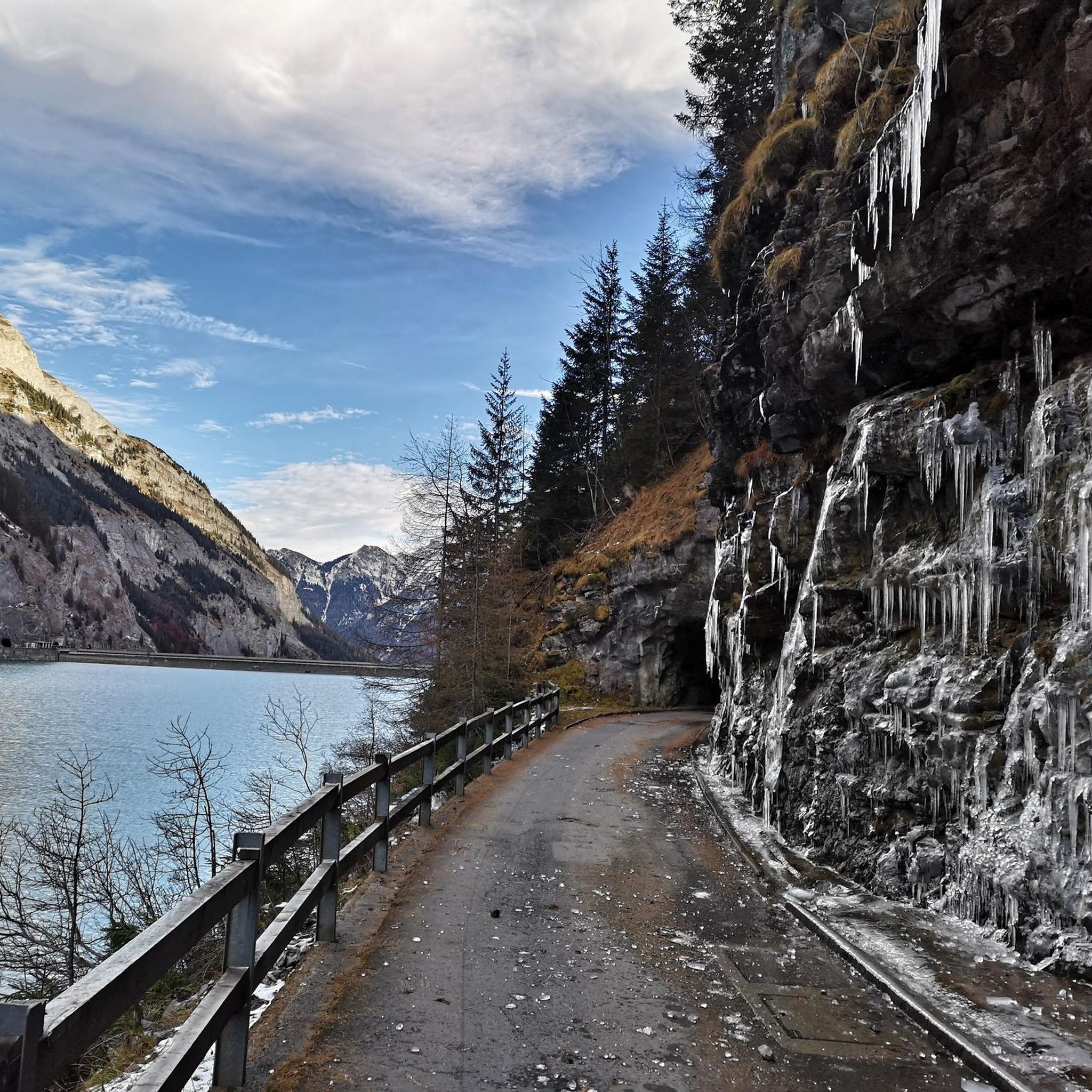
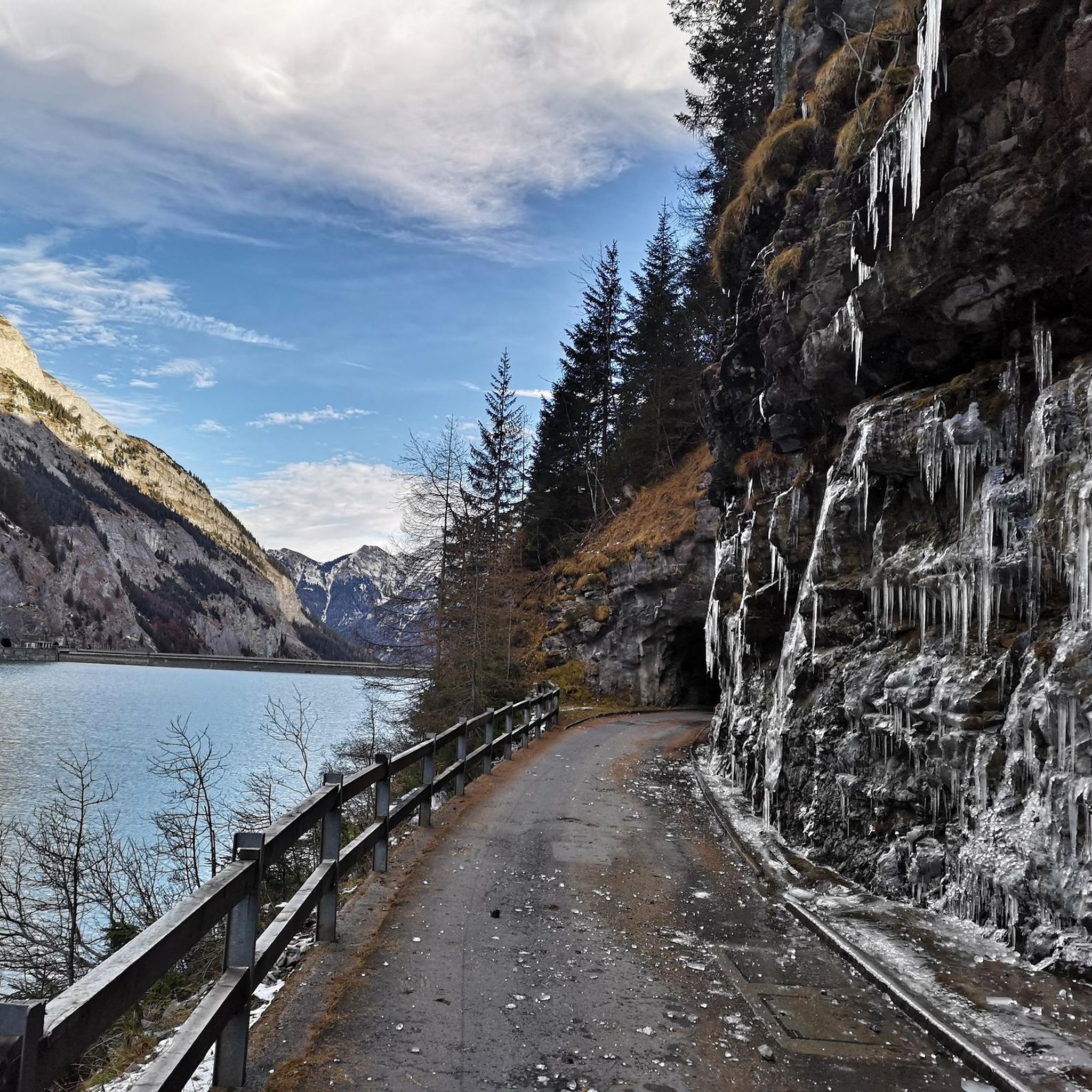
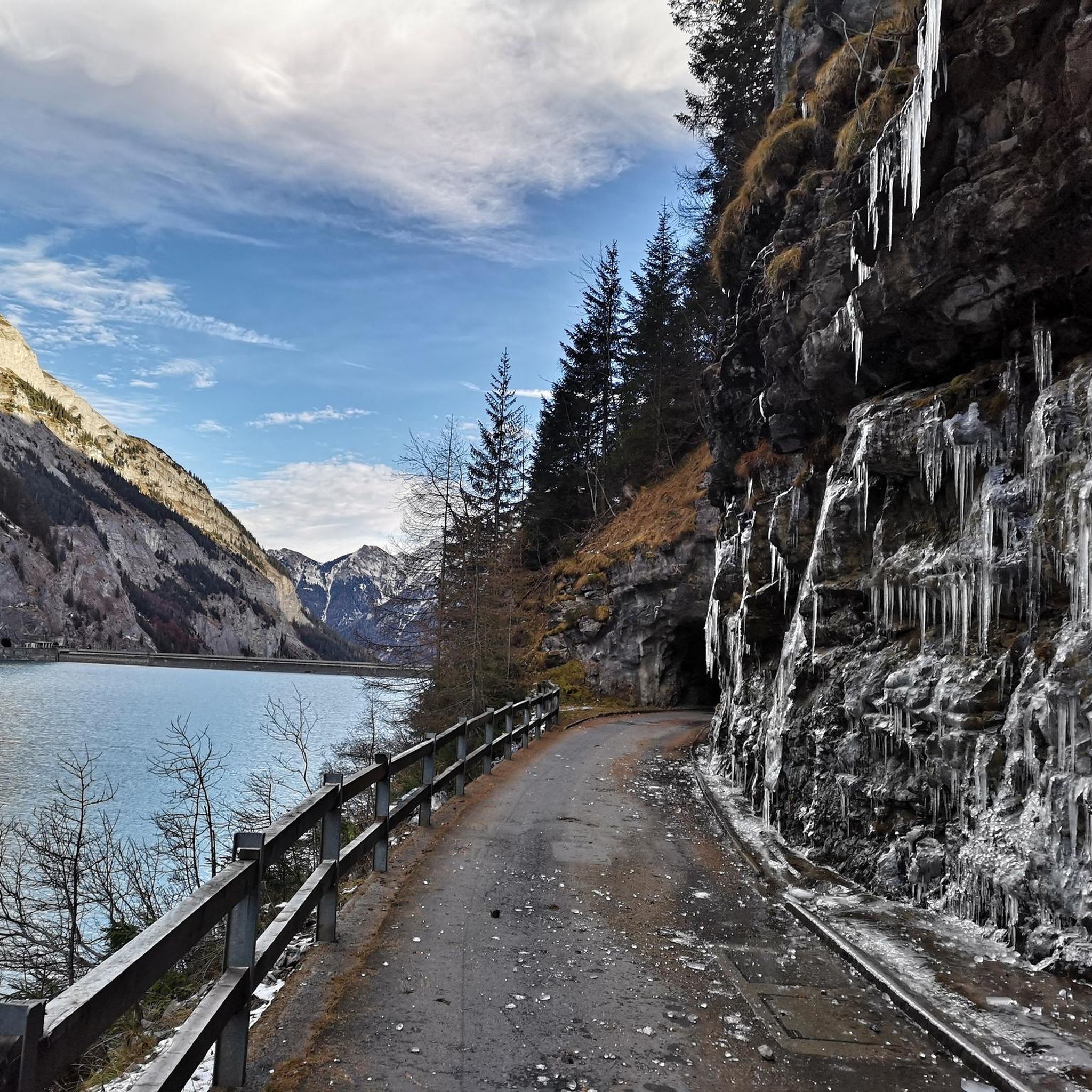
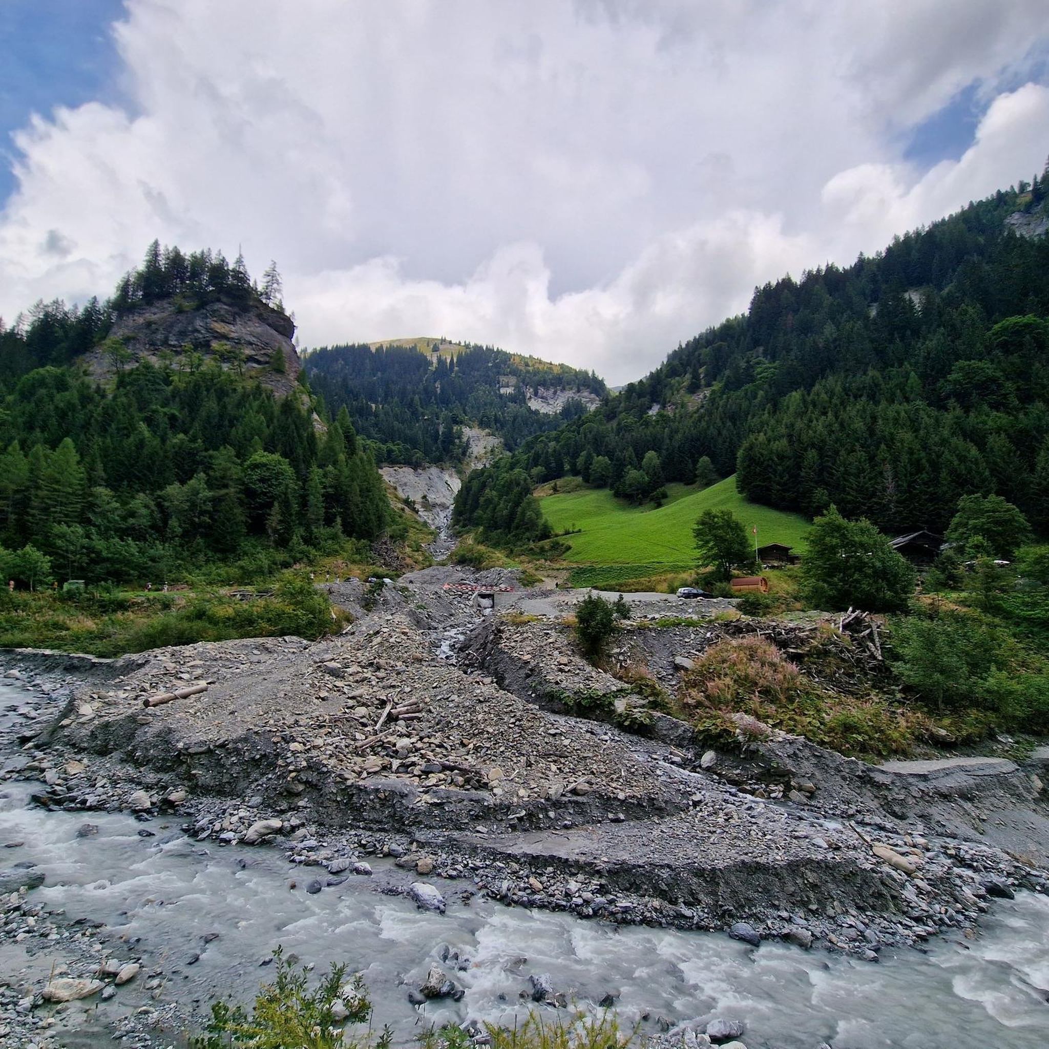
Mountaineering routes around Stausee Gigerwald are set within the dramatic Calfeisental valley of the Swiss Alps, characterized by its fjord-like Gigerwaldsee reservoir and sheer, wooded mountains reaching nearly 2000 meters. The region features steep rock faces, numerous waterfalls, and challenging alpine terrain, making it suitable for experienced mountaineers. This area is also part of the UNESCO World Heritage Tectonic Arena Sardona, highlighting its significant geological features.
Best mountaineering routes around Stausee Gigerwald
- The most popular mountaineering route is Wildsee –…
Last updated: June 23, 2026
5.0
(3)
28
hikers
11.3km
05:37
710m
710m
Hard mountaineering route. Very good fitness required. Sure-footedness, sturdy shoes and alpine experience required.
4.9
(20)
208
hikers
9.23km
05:53
890m
890m
Hard mountaineering route. Very good fitness required. Sure-footedness, sturdy shoes and alpine experience required.

Sign up for free
23
hikers
12.9km
06:56
1,020m
1,020m
Hard mountaineering route. Very good fitness required. Sure-footedness, sturdy shoes and alpine experience required.
Our route recommendations are based on thousands of hikes, rides, and runs completed by other people on komoot.
Start today with a free account
Your next adventure awaits.
Login or Signup
Popular around Stausee Gigerwald

Lake and Alps Adventure – explore 100 dreamy places in our cycling region!

Blue lakes, wide panoramas & autumnal splendour – hiking in Heidiland
Hiking around Stausee Gigerwald
MTB Trails around Stausee Gigerwald
Cycling around Stausee Gigerwald
Running Trails around Stausee Gigerwald
Road Cycling Routes around Stausee Gigerwald


Tips from the Community

Pizolhütte at 2,222 m above sea level. The cozy Pizolhütte is located at 2,222 m above sea level and impresses with its wonderful view of the mountain panorama. The Pizolhütte is located on the high plateau of the Pizol ski and hiking area, on the Pizol Panorama Höhenweg, in the immediate vicinity of the Wangsersee and at the starting point of the famous 5-lake hike. Located directly at the mountain station of the chairlift of the same name, the hut is also the ideal starting point for fast ski runs. The Pizolhütte team will spoil you both inside and outside on the beautiful terrace with food and drink in new and well-known variations. Text / Source: Pizolbahnen AG, Loisstrasse 50, 7310 Bad Ragaz https://pizol.com/gastrobetriebe/pizolhuette/
4
1
Pizolhütte is located at 2,222 m above sea level. The cozy Pizolhütte is located at 2,222 m above sea level and impresses with its wonderful view of the mountain panorama. The Pizolhütte is located on the high plateau of the Pizol ski and hiking area, on the Pizol Panorama Höhenweg, in the immediate vicinity of Wangsersee and at the starting point of the famous 5-lake hike. Located directly at the mountain station of the chairlift of the same name, the hut is also the ideal starting point for fast ski runs. The Pizolhütte team will spoil you both inside and outside on the beautiful terrace with food and drink in new and well-known variations. Text / Source: Heidiland Tourism https://outdoor.heidiland.com/de/gastro/heidiland/bergrestaurant-pizolhuette/55301474/?utm_medium=referral&utm_source=embed&utm_campaign=embed-plugin-referral&utm_term=https%3A%2F%2Fpizol.com%2F
14
0

A very popular ski tour summit, although most people only go as far as the saddle. The ascent to the summit sometimes requires crampons and an ice axe, especially when the safety ropes are still covered in snow. When there is good snow to walk on, like today, you can do without. However, the path is exposed. Great view from the summit cross.
0
0

Coming from the Wildseelücke, first walk along the Wildsee. Be careful, it's quite rocky and the path isn't always easy to find. You should then complete this section quickly because there's a risk of falling rocks. The climb to the Hochwart is quite steep, but easy to walk.
0
0

Great for a drink at 2222 m above sea level.
7
0
The Hochwart is definitely worth climbing, wonderful views of the Schottensee and Wildsee... Plus, a generally great view from up there.
8
0
Great lake with beautiful mountain scenery
7
0

From this very challenging "staircase" you have a wonderful view over the Bargis high valley.
0
0
Frequently Asked Questions
What is the overall difficulty level of mountaineering routes around Stausee Gigerwald?
Mountaineering around Stausee Gigerwald offers a range of options. While there is one moderate route, the majority of the trails, such as the Wildsee – Schotten Lake loop from Pizolhütte and the Pizolhütte Mountain Restaurant – Wildsee loop from Pizolhütte, are classified as difficult. These routes demand very good physical fitness, sure-footedness, sturdy footwear, and prior alpine experience due to exposed, rocky, and potentially difficult terrain.
Are there any circular mountaineering routes in the Stausee Gigerwald area?
Yes, several mountaineering routes around Stausee Gigerwald are designed as loops, offering a complete experience. Examples include the challenging Wildsee – Schotten Lake loop from Pizolhütte, the equally demanding Pizolhütte Mountain Restaurant – Wildsee loop from Pizolhütte, and the moderate Valley View – Suspension Bridge loop from Weisstannen.
What kind of terrain can I expect on mountaineering routes near Stausee Gigerwald?
The terrain around Stausee Gigerwald is characterized by dramatic alpine scenery, including fjord-like reservoir views, sheer wooded mountains, and steep rock faces. You can expect exposed, rocky paths, and some routes feature significant ascents. The region is also part of the UNESCO World Heritage Tectonic Arena Sardona, indicating its geological significance.
What are some notable attractions or landmarks I can see while mountaineering in this region?
The region offers several points of interest. You can see the impressive Gigerwald Dam, a 147-meter high arch dam. At the far end of the lake, the enchanting Historic Walser Settlement of Sankt Martin, with a church dating back to 1321, is a popular destination. The Gigerwald Reservoir Lakeside Road itself offers stunning views.
Is there public transport access to the mountaineering trailheads around Stausee Gigerwald?
The guide does not specify direct public transport links to all trailheads. However, the region is accessible, and it's advisable to check local bus schedules or regional transport options to reach starting points like Pizolhütte or Weisstannen, which are mentioned as starting points for routes such as the Valley View – Suspension Bridge loop from Weisstannen.
What is the best season for mountaineering in the Stausee Gigerwald region?
Given the alpine nature and challenging routes, the best season for mountaineering around Stausee Gigerwald is typically from late spring to early autumn (June to September) when snow has melted from higher elevations and weather conditions are more stable. Winter mountaineering would require specialized equipment and expertise.
Are there any challenging routes for experienced mountaineers?
Absolutely. Stausee Gigerwald is known for its challenging alpine routes. Experienced mountaineers can tackle routes like the Calanda Hut – Calanda Summit loop from Hintere Alp, which involves over 1000 meters of elevation gain, or the Pinut Via Ferrata Entry – Via ferrata Pinut loop from Burgruine Belmont, which is a demanding via ferrata.
Can I find refreshments or places to eat near the mountaineering routes?
Yes, there are options for refreshments. Near the Walser settlement of St. Martin, at the far end of the Gigerwaldsee, you can find a cozy restaurant, perfect for a meal or drinks after your mountaineering adventure.
Are there any routes that feature waterfalls?
Yes, the Calfeisental valley, where Stausee Gigerwald is located, is known for its dramatic landscape featuring numerous waterfalls that cascade into the lake. While specific routes aren't named for waterfalls, you will encounter them as part of the scenic alpine environment.
What do other mountaineers say about the routes in Stausee Gigerwald?
The mountaineering routes in Stausee Gigerwald are highly rated by the komoot community, with an average score of 4.9 stars from more than 30 reviews. Mountaineers often praise the challenging alpine landscapes, panoramic views, and the unique experience of exploring this dramatic Swiss Alps region.
What equipment should I bring for mountaineering in Stausee Gigerwald?
For mountaineering in this region, especially on the difficult routes, it is essential to bring sturdy footwear, appropriate clothing for alpine conditions, and potentially equipment for exposed sections. Sure-footedness and prior alpine experience are also crucial.
How many mountaineering routes are available around Stausee Gigerwald?
There are several mountaineering routes available around Stausee Gigerwald, with a total of 5 routes detailed in this guide, ranging from moderate to difficult. This includes options like the Wildsee – Schotten Lake loop from Pizolhütte and the Calanda Hut – Calanda Summit loop from Hintere Alp.
Most popular routes around Stausee Gigerwald
Most popular attractions around Stausee Gigerwald

Get inspired with the komoot mobile app


Explore more
Browse the best Mountain Hikes & Routes in other regions.
