The best mountain hikes around Lac des Toules
4.7
(14)
129
hikers
10
hikes
Mountaineering around Lac des Toules offers access to the high-alpine environment of Valais, Switzerland, characterized by majestic mountains, significant passes, and glacier-fed lakes. The region, nestled near Bourg-Saint-Pierre, provides a diverse range of challenges amidst the Swiss Alps and views towards the Mont Blanc massif. Its terrain includes high-altitude ascents, glaciers, and varied landscapes, making it suitable for experienced mountaineers.
Best mountaineering routes around Lac des Toules
- The most popular mountaineering route is Lac du Grand-Saint-Bernard – Hospice du Grand-Saint-Bernard…
Last updated: July 11, 2026
30
hikers
20.4km
07:55
1,220m
1,220m
Hard mountaineering route. Very good fitness required. Sure-footedness, sturdy shoes and alpine experience required.
5.0
(1)
8
hikers
Hard mountaineering route. Very good fitness required. Sure-footedness, sturdy shoes and alpine experience required.

Sign up for free
5.0
(4)
23
hikers
Hard mountaineering route. Good fitness required. Sure-footedness, sturdy shoes and alpine experience required.
4.0
(2)
18
hikers
Hard mountaineering route. Good fitness required. Sure-footedness, sturdy shoes and alpine experience required.
6
hikers
Hard mountaineering route. Good fitness required. Sure-footedness, sturdy shoes and alpine experience required.
Get access to more routes and recommendations from other explorers.
Sign up for free
Already have an account?
Our route recommendations are based on thousands of hikes, rides, and runs completed by other people on komoot.
Start today with a free account
Your next adventure awaits.
Login or Signup
Tips from the Community

Stunning landscape, very gusty winds
0
0

The highest road pass in the Aosta Valley and a place that has always fascinated the writer for its thousand-year history, the austere Mauritian hospice and the profound beauty of the landscape.
0
0
This climb is something incredible: it doesn't have difficult gradients but it's long, very long, endless. You reach a point where you almost hate it: you've been cycling for well over an hour and still can't see the summit, you're running out of energy and the wind keeps whipping your face, you'd like to throw your bike away and say "Enough! I'm stopping here"... but it's only for a moment, because you're the one who chose to face it and you knew perfectly well what you were getting into; you set off again with more grit than before and tackle those last few km of road with all your remaining strength. And then you enter the tunnel, there you start to realize you've made it, you come out, follow the road that turns slightly to the left and, as if in a dream, the lake appears. You reach the top and think about how many people throughout the centuries have traveled this road: Salassi, Romans, monks, migrants, Napoleonic soldiers... you realize you are in a place where History is dense and nature is stunning, and there you can only love this hill
7
0

From the Italian side, you mostly have to carry the bike or use rails. Short sections are rideable. The descent into Val Ferret is mostly good, somewhere between S1 and S2. In some places, I had to carry/push the bike because it was too heavy. It took me about 25-30 minutes from the pass to Plan de la Chaux.
1
0

View of the Swiss Alps...there's still snow in the less exposed areas
0
0

Hotel Italia is highly recommended
0
0

I recommend choosing the classic crossing via Col de Ferret. In contrast to the Fenetre de Ferret, the climb is partly rideable and the view of the Mont Blanc massif is much more spectacular.
1
0

https://youtu.be/Li5AlhVsZvI?feature=shared Push up about 300m from St. Bernhard, then you'll have an incredible panorama of the entire Mont Blanc massif. The trail meanders down through the glacier lakes. One of the most beautiful places in the world.
1
0
Frequently Asked Questions
What kind of mountaineering routes can I find around Lac des Toules?
The region around Lac des Toules, nestled in Valais, Switzerland, offers a diverse range of mountaineering challenges. You'll find routes with significant elevation gain, high-alpine terrain, and stunning views of the Valais Mountains and the Mont Blanc massif. While many routes are classified as difficult, there are also moderate options available for those looking for a less strenuous ascent. In total, there are over 15 mountaineering routes to explore.
Are there any moderate mountaineering routes suitable for those with less alpine experience?
Yes, while many routes are challenging, there are 4 moderate mountaineering routes around Lac des Toules. One such option is the Fenêtre Lakes loop from La Tsavre, which covers 7.2 miles (11.6 km) and offers beautiful alpine scenery without the extreme difficulty of some other ascents.
What are some notable landmarks or natural features to see along the mountaineering routes?
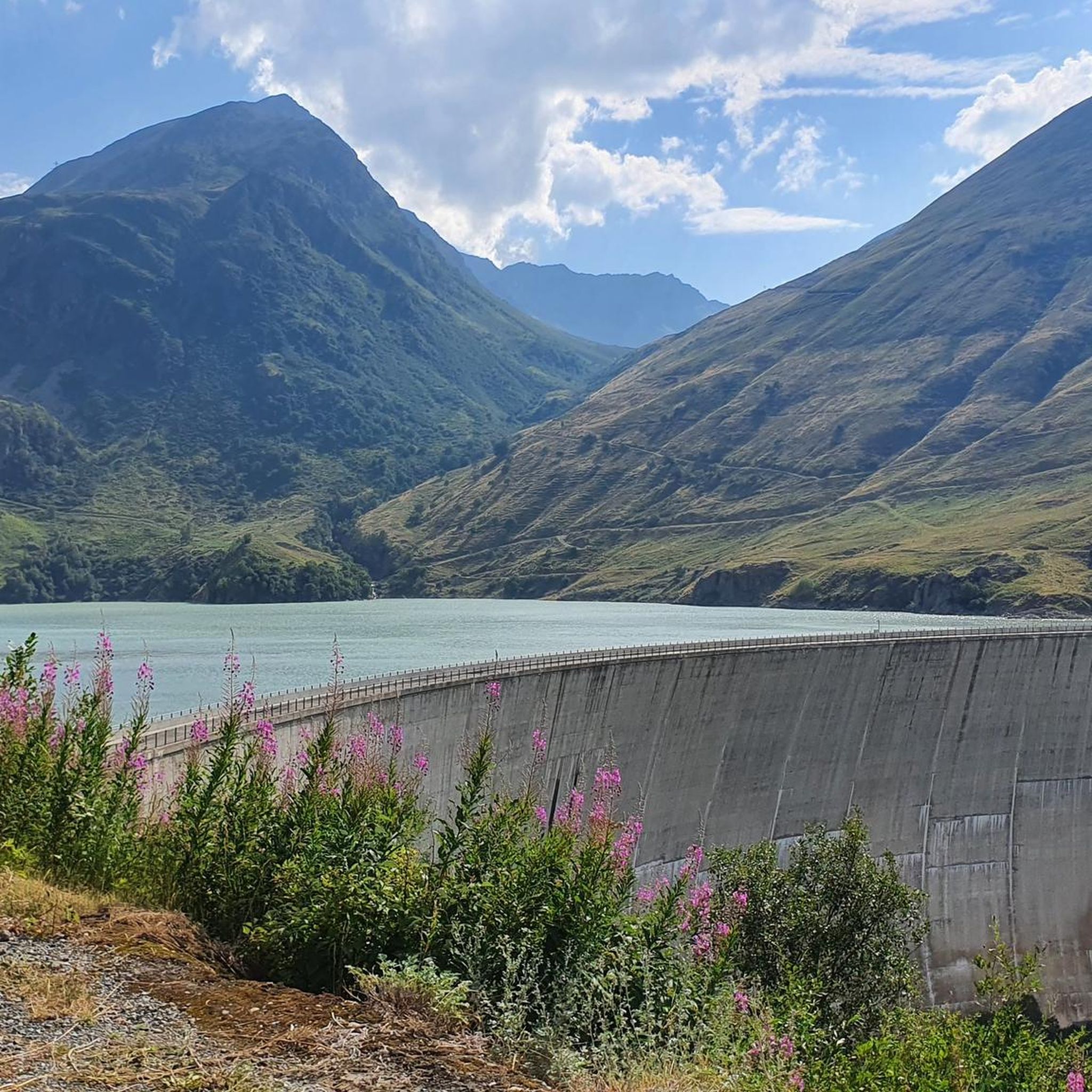
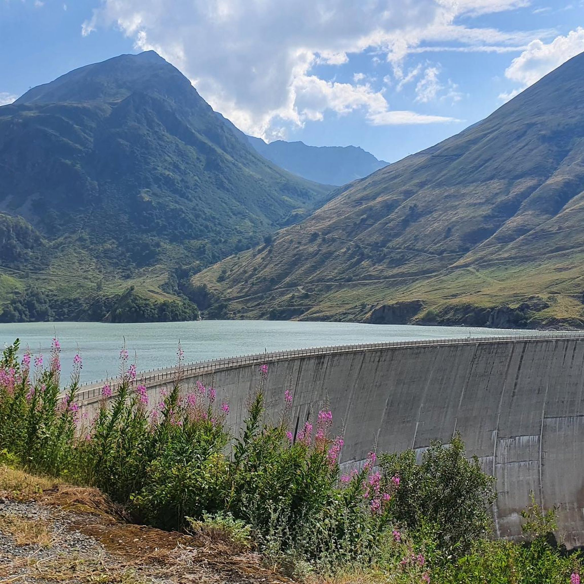
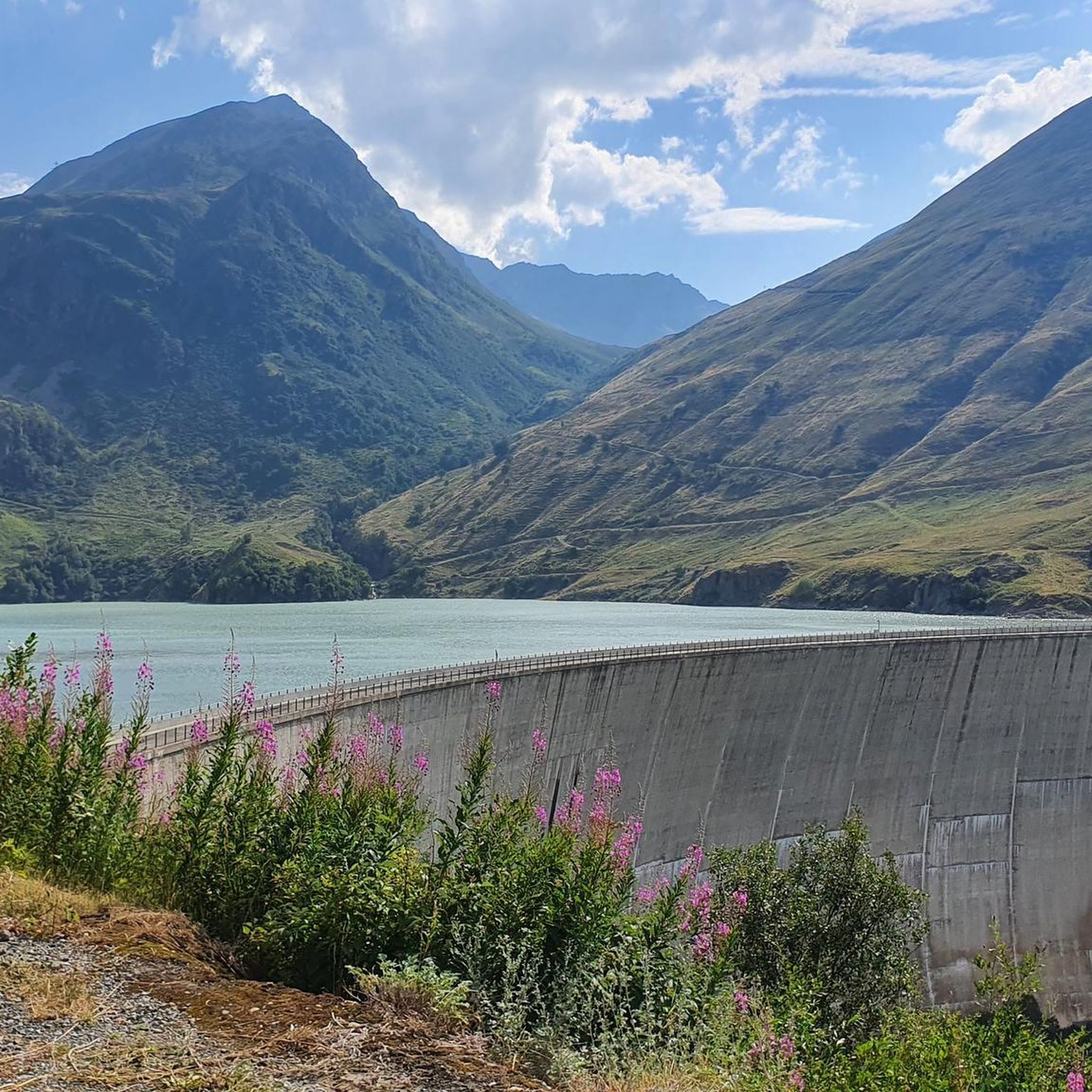
Mountaineering routes around Lac des Toules offer breathtaking views and access to significant natural features. You can encounter glacier-fed lakes, majestic mountain passes like the Col du Grand Saint-Bernard, and the impressive Lac des Toules Dam itself, which is Switzerland's first arch-dome dam. Many routes provide panoramic vistas of the surrounding Valais Mountains and the distant Mont Blanc massif.
Can I find circular mountaineering routes in the area?
Yes, several mountaineering routes around Lac des Toules are designed as loops, allowing you to start and end at the same point. An example is the challenging Lac du Grand-Saint-Bernard – Hospice du Grand-Saint-Bernard loop from Bourg-Saint-Bernard, which is 9.0 miles (14.5 km) long and takes approximately 5 hours 16 minutes to complete.
What do other mountaineers say about the routes around Lac des Toules?
The mountaineering routes around Lac des Toules are highly regarded by the komoot community, holding an average rating of 4.7 stars from over 20 reviews. Users frequently praise the stunning high-alpine vistas, the challenging yet rewarding ascents, and the pristine natural beauty of the glacier-fed lakes and mountain passes.
Are there any routes that offer views of the Great St. Bernard Pass?
Absolutely. The region is closely associated with the historic Great St. Bernard Pass. A challenging route like the Pointe de Drone Summit – Hospice du Grand-Saint-Bernard loop from Great St Bernard Pass offers expansive alpine vistas, including views towards the pass and its surroundings. You can also explore the Great St. Bernard Pass itself as a highlight.
What is the typical duration for mountaineering routes in this area?
The duration of mountaineering routes around Lac des Toules varies significantly based on difficulty and length. For instance, a challenging route like the Fenêtre Lakes – Hospice du Grand-Saint-Bernard loop from Great St Bernard Pass can take around 4 hours 39 minutes to complete, covering 5.4 miles (8.7 km). Shorter, difficult loops, such as the Hospice du Grand-Saint-Bernard – Lac du Grand-Saint-Bernard loop from Great St Bernard Pass, might take about 2 hours 11 minutes.
Is public transport available to reach the starting points of mountaineering trails near Lac des Toules?
Yes, public transport options are available to reach areas like Bourg-Saint-Pierre and the Great St Bernard Pass, which serve as common starting points for many mountaineering routes around Lac des Toules. It's advisable to check local bus schedules for the most current information on connections to trailheads.
Are there specific considerations for parking when planning a mountaineering trip to Lac des Toules?
Parking is generally available at key access points such as Bourg-Saint-Pierre and near the Great St Bernard Pass, which are common starting locations for mountaineering routes. When planning your trip, it's recommended to research specific parking facilities for your chosen trailhead, especially during peak seasons.
What is the best time of year for mountaineering around Lac des Toules?
The best time for mountaineering around Lac des Toules is typically during the warmer months, from late spring to early autumn, when snow has largely melted from higher elevations and weather conditions are more stable. However, alpine conditions can change rapidly, so always check local forecasts and trail conditions before heading out. Some routes may involve glacier travel, requiring specific equipment and experience.
Are there any family-friendly mountaineering options near Lac des Toules?
While many routes are geared towards experienced mountaineers, the broader Valais region offers a range of hiking trails, some of which are more accessible. For true mountaineering, routes around Lac des Toules generally require good fitness, sure-footedness, and alpine experience, making them less suitable for young children or those new to alpine environments. However, easier paths around the lake itself can be explored for a more casual family outing.
Can I bring my dog on the mountaineering trails around Lac des Toules?
Many trails in the Swiss Alps are dog-friendly, but specific regulations can vary, especially in protected areas or on routes involving technical sections. It's generally recommended to keep dogs on a leash for their safety and to protect local wildlife. Always ensure your dog is fit enough for the chosen route and that you carry enough water for both of you.
Most popular routes around Lac des Toules
Most popular attractions around Lac des Toules

Get inspired with the komoot mobile app


Explore more
Browse the best Mountain Hikes & Routes in other regions.
