The best road cycling routes around Killaloo
15
riders
3
rides
Road cycling routes around Killaloo are set amidst a landscape characterized by the River Shannon and Lough Derg, offering diverse terrain for cyclists. The region features sandstone hills and mountains, providing both challenging climbs and routes with no major elevation gains. Cyclists can expect views of the Arra mountain range, East Clare hills, and the expansive Lough Derg, alongside wild woodlands and scenic riverbanks.
Best road cycling routes around Killaloo
- The most popular road cycling route is Free Derry Corner…
Last updated: October 15, 2026
8
riders
56.3km
02:29
530m
530m
Moderate road ride. Good fitness required. Mostly well-paved surfaces and easy to ride.
5
riders
34.7km
01:40
350m
350m
Moderate road ride. Good fitness required. Mostly well-paved surfaces and easy to ride.

2
riders
31.3km
01:24
310m
310m
Moderate road ride. Good fitness required. Some segments of this route may be unpaved and difficult to ride.
Our route recommendations are based on thousands of hikes, rides, and runs completed by other people on komoot.
Start today with a free account
Your next adventure awaits.
Popular around Killaloo
Tips from the Community

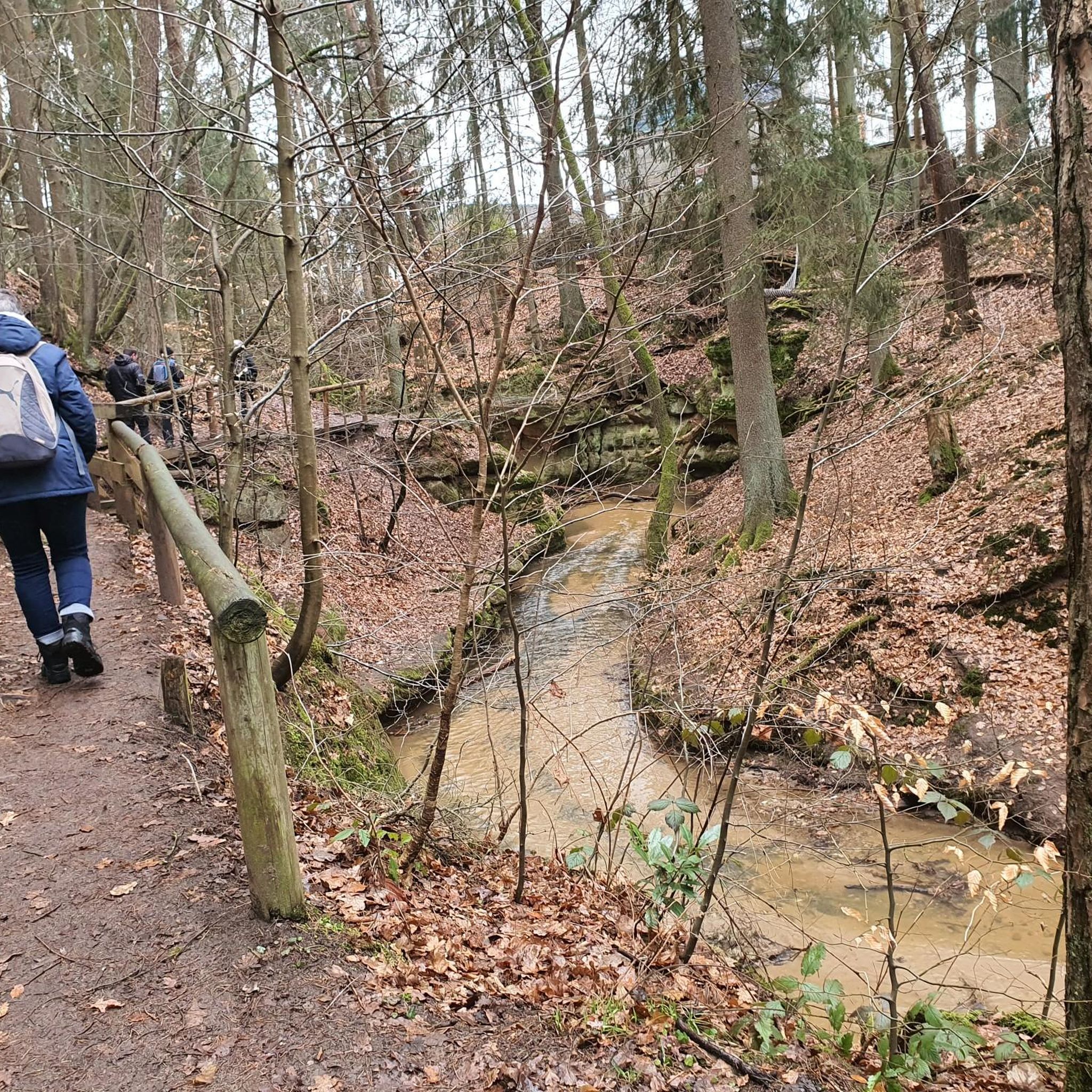
Learmount Wood is located at the foothills of the northern face of the Sperrins in Northern Ireland. The forest features a wonderful diversity of tree species, including some that have been there for over 100 years. It's a beautiful place for a stroll, featuring a stream and an abandoned mansion dating back to the 1830s.
1
0
Frequently Asked Questions
What kind of terrain can I expect on road cycling routes around Killaloe?
Road cycling routes in the Killaloe area offer a diverse range of terrain. You'll find well-paved surfaces suitable for all fitness levels, as well as more challenging rides with significant elevation gains through sandstone hills and mountains. Many routes provide continuous views of the River Shannon, Lough Derg, and the Arra mountain range.
Are there road cycling routes suitable for beginners or those seeking an easier ride?
Yes, Killaloe offers options for easier rides with no major climbs. For instance, the Derry Girls Mural – Peace Bridge loop from Drumahoe is an easy 19.4-mile (31.2 km) path with less significant climbs, perfect for a gentle ride. The region also features routes that take 2-3 hours and offer views of the Arra mountain range and East Clare hills without demanding ascents.
What are some of the most scenic natural features I'll encounter while cycling around Killaloe?
The Killaloe region is rich in natural beauty. Cyclists can enjoy breathtaking views of Lough Derg, Ireland's third-largest lake, and the majestic River Shannon. Routes often pass through wild woodlands like Crag Wood and Portumna Forest Park, and offer panoramas of the surrounding Arra Mountains, Slieve Aughties, and Slieve Bearnagh.
Are there any historical landmarks or points of interest along the road cycling routes?
Yes, Killaloe is steeped in history. You can cycle past the historic 13-arch Killaloe Bridge connecting Killaloe to Ballina. Other notable sites include Brian Boru's Fort (Béal Ború), the site of the last High King of Ireland, and the historic St. Flannan's Cathedral and St. Lua's Oratory. While not directly on a cycling route, the Millennium Cross on the Arra Mountains offers knock-out views after a short walk.
What are the options for parking when starting a road cycling tour in Killaloe?
Killaloe is a popular starting point for many activities, and you'll find various parking options within the town. Specific parking areas for individual routes are usually detailed in the tour descriptions on komoot. It's advisable to check the specific route details for the most convenient parking near your chosen starting point.
Can I access Killaloe by public transport if I'm bringing my bike?
Public transport options to Killaloe are available, though bringing a bike can sometimes be challenging depending on the service. Bus Éireann operates routes to Killaloe. It's recommended to check their official website or contact them directly regarding their policy on carrying bicycles, especially during peak times, to ensure a smooth journey.
Are there any challenging road cycling routes for experienced cyclists?
Absolutely. For those seeking a more demanding ride, the region offers routes with significant elevation gains. The Bench Under a Large Tree loop from Loughermore River is a difficult 51.1-mile (82.3 km) trail with over 1200 meters of elevation gain, leading through varied and challenging landscapes.
What is the best time of year for road cycling in Killaloe?
The spring and summer months (typically April to September) generally offer the most favorable weather for road cycling in Killaloe, with milder temperatures and longer daylight hours. However, the picturesque landscapes are enjoyable year-round, though autumn and winter may bring cooler temperatures and more unpredictable weather, requiring appropriate gear.
Are there places to eat or get refreshments in Killaloe after a ride?
Yes, Killaloe is well-equipped with amenities for visitors. The town is full of small cafes and restaurants, making it an ideal place to take a break, or to start or end your cycling tour with a meal or refreshments. You'll find a variety of options to refuel and relax.
What do other road cyclists enjoy most about road cycling in Killaloe?
Road cyclists using komoot often praise the varied terrain and stunning natural beauty of the Killaloe area. Many appreciate the continuous views of Lough Derg and the River Shannon, as well as the options for both challenging climbs and more relaxed, scenic rides through woodlands and along the water's edge.
Are there any circular road cycling routes around Killaloe?
Yes, many of the road cycling routes around Killaloe are designed as loops, allowing you to start and end in the same location. Examples include the Park loop from Ballykelly and the Gosheden Wood loop from Legaghory, offering convenient circular journeys through the region's diverse landscapes.
What kind of views can I expect on the road cycling routes?
The road cycling routes around Killaloe offer a wealth of scenic views. You can expect fantastic lake views of Lough Derg, continuous vistas of the River Shannon, and panoramic outlooks over the Arra mountain range, East Clare hills, and the surrounding countryside. Some routes also provide glimpses of engineering feats like Parteen Weir.
Most popular routes around Killaloo
Most popular attractions around Killaloo

Get inspired with the komoot mobile app


Explore more
Browse the best Road cycling routes in other regions.
