The best mountain hikes around Muttsee
5.0
(5)
119
hikers
3
hikes
Mountaineering routes around Muttsee are set within the high-alpine environment of the Glarus Alps, featuring towering peaks and glaciers. The region is characterized by its dramatic landscapes, including the Muttsee and Limmernsee reservoirs, and sections of the UNESCO World Natural Heritage Tectonic Arena Sardona. Significant elevation changes are common, with routes traversing challenging terrain.
Best mountaineering routes around Muttsee
- The most popular mountaineering route is Muttsee and AlpinSolar Plant – View of Limmernsee loop from Kalktrittli, a 6.8 miles…
Last updated: August 17, 2026
5.0
(1)
19
hikers
10.9km
05:48
860m
860m
Hard mountaineering route. Very good fitness required. Sure-footedness, sturdy shoes and alpine experience required.
5.0
(2)
39
hikers
15.4km
07:10
1,150m
1,150m
Hard mountaineering route. Very good fitness required. Sure-footedness, sturdy shoes and alpine experience required.

Sign up for free
21
hikers
16.7km
06:47
990m
990m
Hard mountaineering route. Very good fitness required. Sure-footedness, sturdy shoes and alpine experience required.
5.0
(2)
6
hikers
14.9km
05:29
720m
720m
Hard mountaineering route. Very good fitness required. Mostly accessible paths. Sure-footedness required.
5
hikers
3.46km
01:50
300m
300m
Moderate mountaineering route. Good fitness required. Mostly accessible paths. Sure-footedness required.
Our route recommendations are based on thousands of hikes, rides, and runs completed by other people on komoot.
Start today with a free account
Your next adventure awaits.
Login or Signup
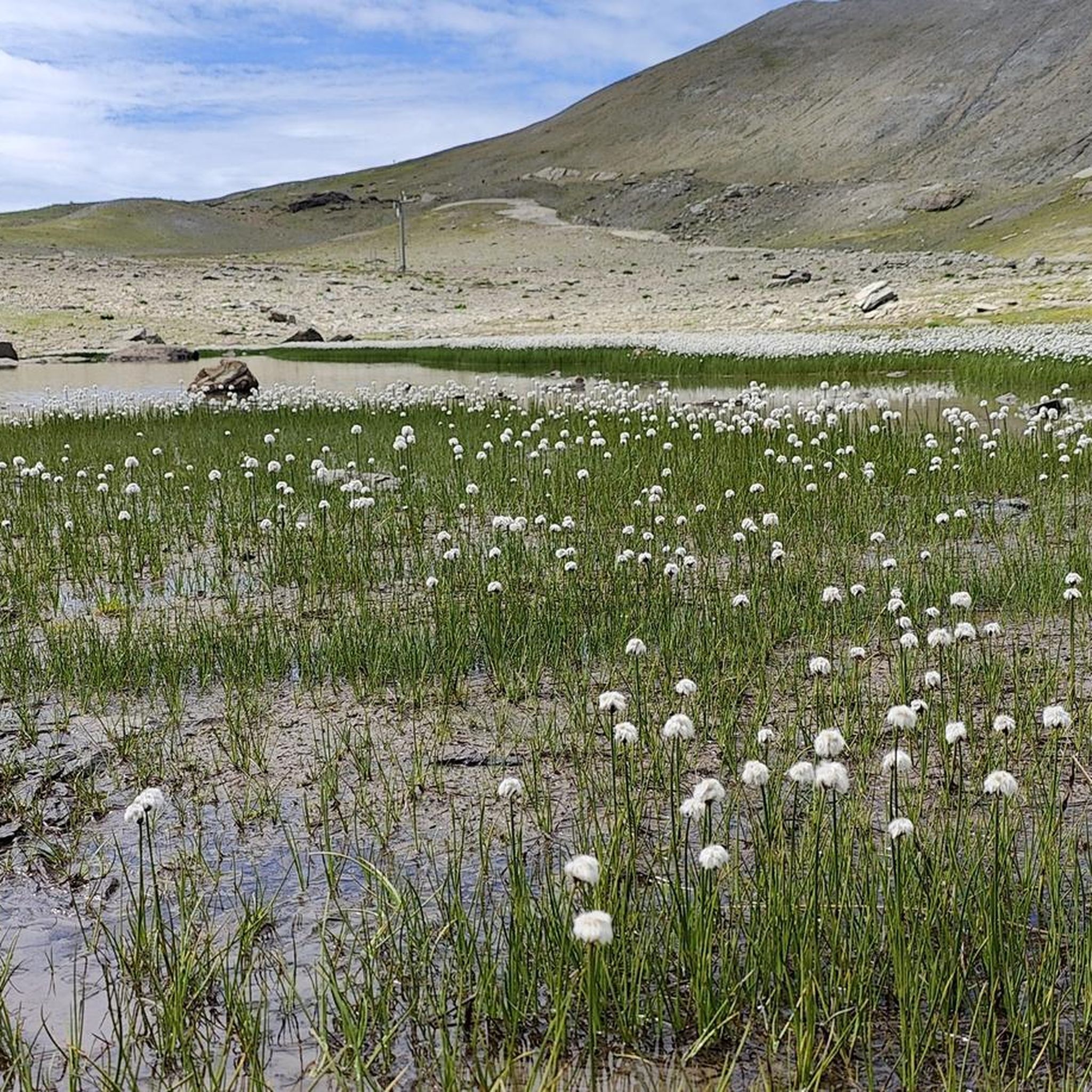
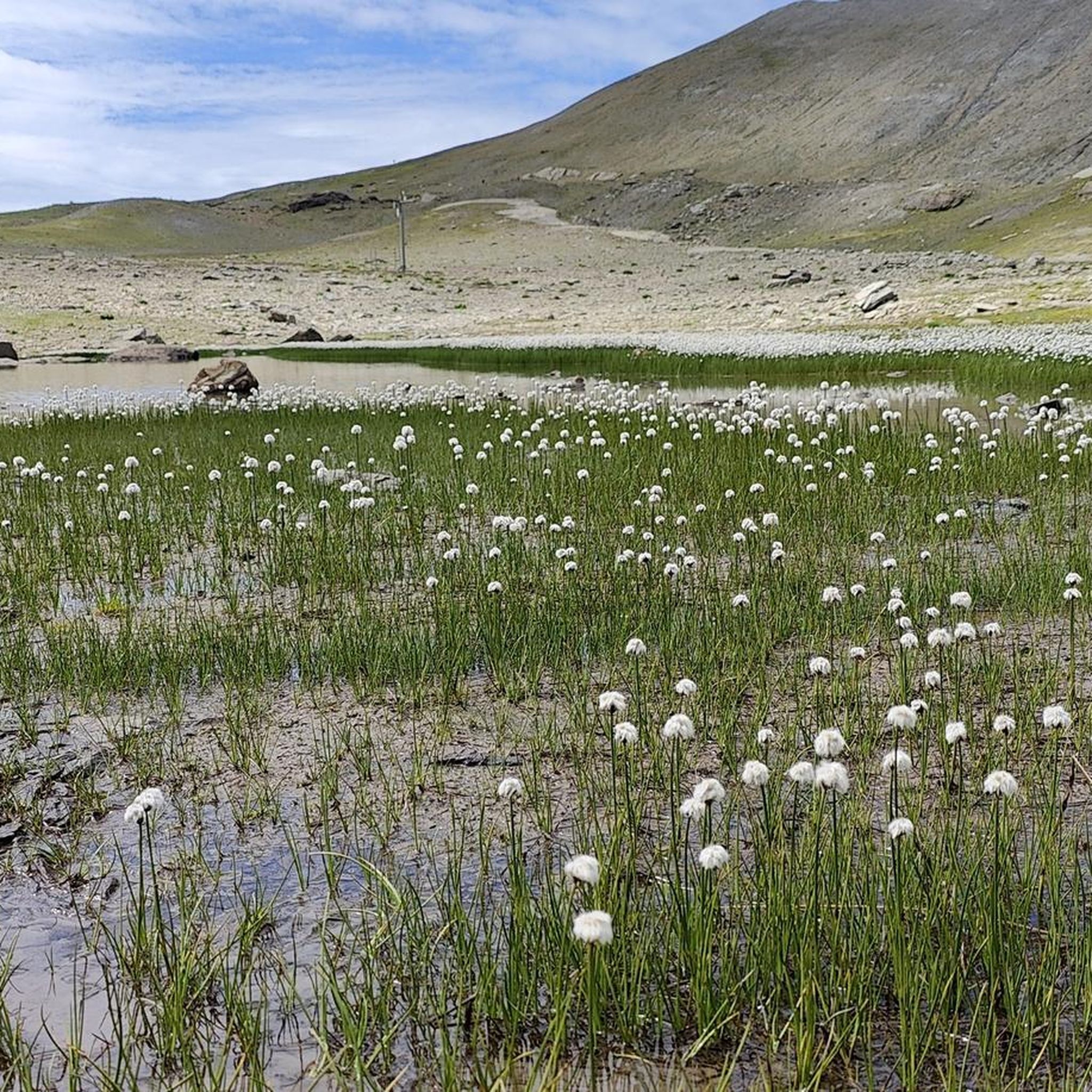
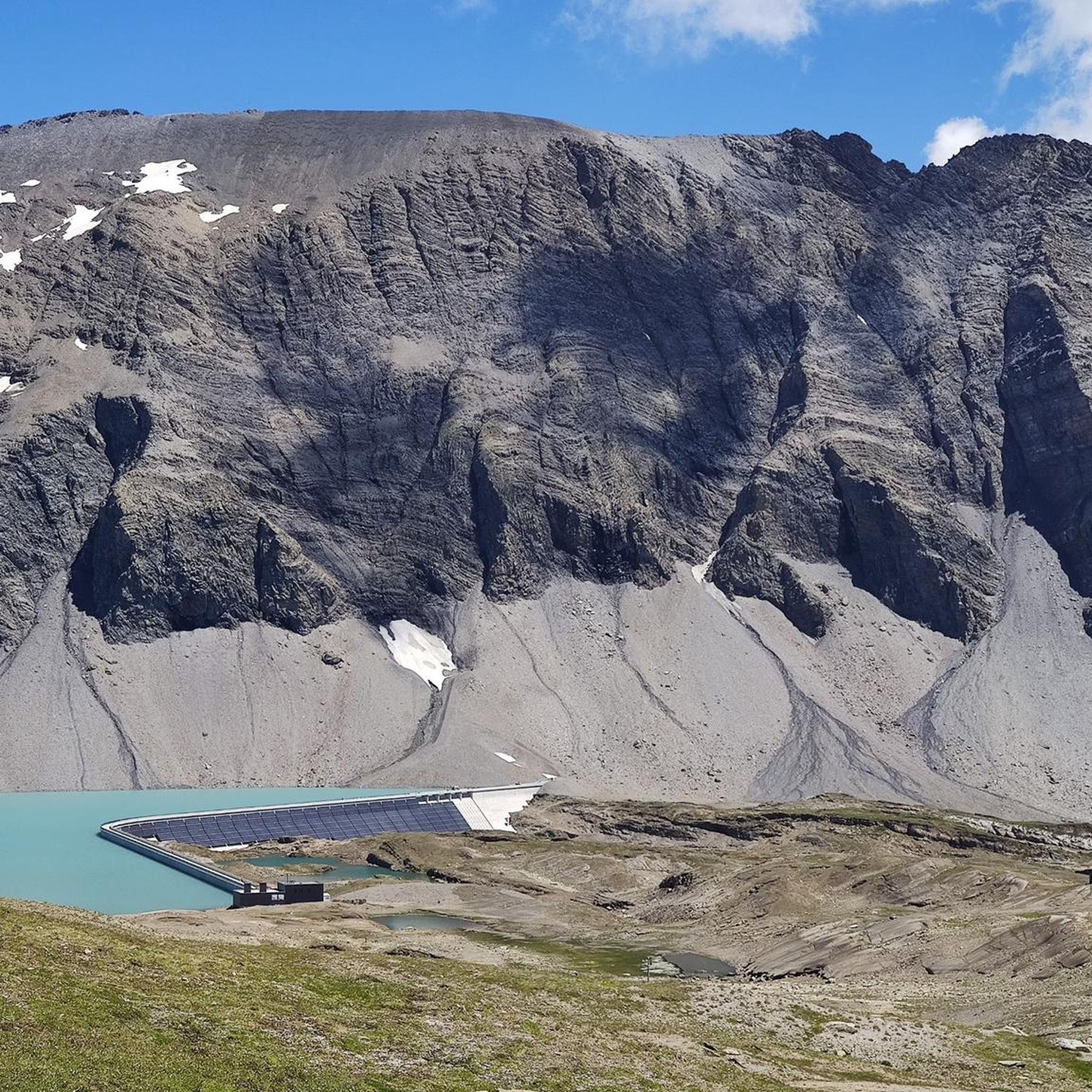
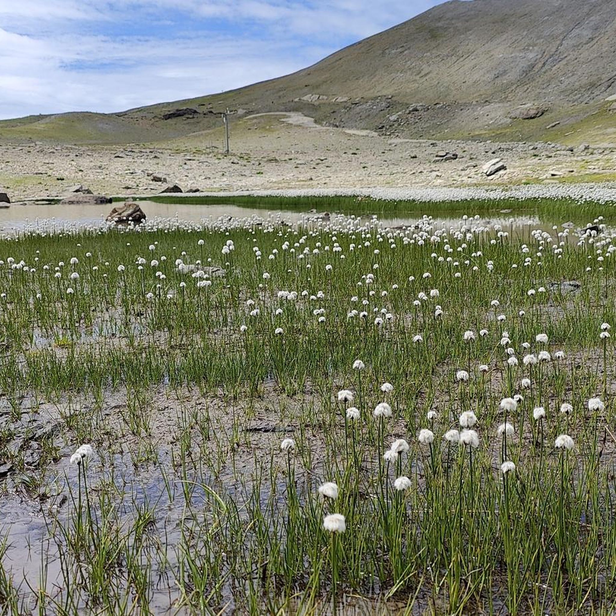
Tips from the Community

pretty here, very pretty
0
0
pretty here, very pretty
0
0
pretty here, very pretty
0
0
pretty here, very pretty
0
0

very pretty here, very pretty, very pretty
0
0
Frequently Asked Questions
What kind of terrain can I expect on mountaineering routes around Muttsee?
The mountaineering routes around Muttsee are set within a high-alpine environment in the Glarus Alps. You'll encounter dramatic landscapes, towering peaks, and glacial features. Significant elevation changes are common, with routes traversing challenging terrain, including rocky sections and alpine meadows. Some paths may be narrow with exposure, requiring sure-footedness.
How many mountaineering routes are available in the Muttsee area?
There are several mountaineering routes around Muttsee, with komoot featuring at least 4 distinct tours in this guide. These routes offer options for various ability levels, from moderate to difficult, ensuring there's a suitable challenge for many mountaineers.
What is the best time of year for mountaineering in Muttsee?
The ideal season for mountaineering around Muttsee typically runs from mid-June to mid-October. During this period, trails are generally clear of snow, and weather conditions are more favorable for high-alpine activities. Always check local weather forecasts before heading out.
Are there any circular mountaineering routes around Muttsee?
Yes, several circular routes are available. For example, the Muttsee and AlpinSolar Plant – View of Limmernsee loop from Kalktrittli is a popular option. Another challenging circular route is the Muttsee and AlpinSolar Plant – View of Limmernsee loop from Hinter Obbort, which offers extensive high-alpine terrain.
What are some notable natural features or landmarks to see along the routes?
The region boasts stunning natural features. You'll encounter the picturesque Muttsee and Limmernsee reservoirs, known for their blue and jade-green waters. Parts of the routes also traverse the UNESCO World Natural Heritage Tectonic Arena Sardona, showcasing unique geological formations. Keep an eye out for alpine wildlife like ibexes, marmots, and chamois.
Are there any options for less experienced mountaineers?
While many routes are challenging, there are options for those with good fitness and some alpine experience. The difficulty of routes is categorized by the Swiss Alpine Club (SAC) scale. It's crucial to choose a route that matches your fitness level and experience, as significant elevation changes and exposed sections are common.
What are the typical distances and elevation gains for mountaineering routes in Muttsee?
Routes vary significantly. For instance, the Muttsee and AlpinSolar Plant – View of Limmernsee loop from Kalktrittli covers about 6.8 miles (11.0 km) with over 860 meters of elevation gain. Longer routes, like the Muttsee and AlpinSolar Plant – View of Limmernsee loop from Hinter Obbort, can be around 11.8 miles (19.1 km) with over 1,500 meters of ascent.
What do other mountaineers say about the routes in Muttsee?
The mountaineering routes in Muttsee are highly regarded by the komoot community, holding an average rating of 4.9 stars from numerous reviews. Users often praise the dramatic high-alpine scenery, the challenging yet rewarding terrain, and the unique features like the AlpinSolar plant and the stunning reservoirs.
Is there public transport or cable car access to the mountaineering areas?
Yes, the KLL Tierfed-Kalktrittli cable car provides convenient access, ascending approximately 1000 meters in minutes. This makes the higher alpine regions more accessible for day-trippers and those looking to shorten their hike, serving as a valuable starting point for many tours.
Are there any unique man-made structures or attractions along the trails?
Absolutely. The Muttsee dam, at 1050 meters, is Switzerland's longest and hosts the impressive AlpinSolar plant, integrated into its wall. Another unique feature is the 3-kilometer-long power station tunnel, which hikers can traverse as part of their journey to Limmernsee, offering an adventurous and unusual experience.
Can I find accommodation or places to rest near the mountaineering routes?
The Muttseehütte SAC (Swiss Alpine Club hut) serves as a key attraction and offers a place for hikers to rest, refuel, and potentially stay overnight. It acts as a base for further exploration of the surrounding area, providing essential amenities in the high-alpine environment.
What is the difficulty level of the <a href="https://www.komoot.com/smarttour/8060716" target="_blank" rel="noopener">Vorderer Eggstock – Charlotte Bridge loop from Braunwald</a>?
The Vorderer Eggstock – Charlotte Bridge loop from Braunwald is classified as a difficult mountaineering route. It spans about 9.6 miles (15.4 km) and involves significant elevation changes, leading through alpine meadows and rocky sections, typically taking around 7 hours and 10 minutes to complete.

Get inspired with the komoot mobile app


Explore more
Browse the best Mountain Hikes & Routes in other regions.
