The best road cycling routes around Tievecrom
3.8
(4)
624
riders
62
rides
Road cycling routes around Tievecrom are characterized by mountainous terrain and significant elevation changes, situated on the southern slopes of Slieve Gullion in Northern Ireland. The landscape features rolling hills, extending from Glenn Du to Cloghinnea, with the imposing presence of Slieve Gullion dominating the skyline. This region offers varied terrain, including climbs and descents, providing diverse experiences for road cyclists.
Best road cycling routes around Tievecrom
- The most popular road cycling route is Termonfeckin Castle – Boyne River Greenway…
Last updated: June 27, 2026
41
riders
85.8km
03:30
400m
400m
Moderate road ride. Good fitness required. Mostly well-paved surfaces and easy to ride.
3.0
(1)
36
riders
82.4km
03:22
500m
500m
Moderate road ride. Good fitness required. Mostly well-paved surfaces and easy to ride.

Sign up for free
42
riders
70.3km
02:48
250m
250m
Moderate road ride. Good fitness required. Mostly well-paved surfaces and easy to ride.
3.5
(2)
35
riders
28.2km
01:11
160m
160m
Easy road ride. Great for any fitness level. Mostly well-paved surfaces and easy to ride.
25
riders
45.3km
01:53
280m
280m
Easy road ride. Great for any fitness level. Mostly well-paved surfaces and easy to ride.
Get access to more routes and recommendations from other explorers.
Sign up for free
Already have an account?
Our route recommendations are based on thousands of hikes, rides, and runs completed by other people on komoot.
Start today with a free account
Your next adventure awaits.
Login or Signup


Tips from the Community

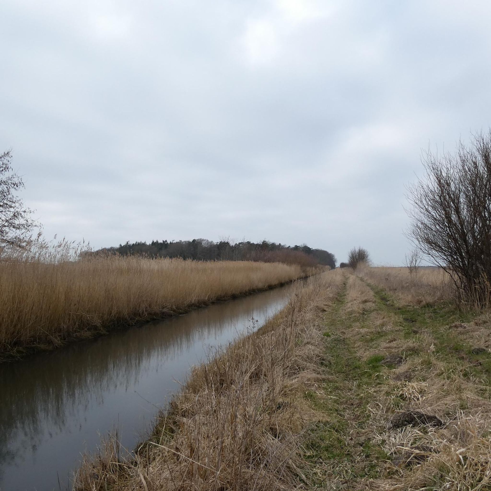
The Boyne River Greenway takes you on a peaceful journey through Ireland's history. This beautifully crafted trail follows the winding River Boyne from the lively quays of Drogheda to the historic fields of Oldbridge. You'll cycle through a landscape of lush woodlands and rolling riverbanks, far from traffic. Along the way, you'll pass information boards telling the story of the legendary Battle of the Boyne. Whether you come for the nature, the fresh air, or the unique heritage of the Boyne Valley; this green artery offers a relaxing and inspiring experience for every cyclist.
5
0
Upon entering the village of Castlebellingham, you are welcomed by the impressive gatehouse of Bellingham Castle. This robust, castle-like structure with its battlements and characteristic arched gateway forms the historic entrance to the extensive Bellingham family estate. The castle itself, dating back to the 17th century, breathes the atmosphere of the Irish nobility.
7
1

The riverside path is a multi-user, surfaced trail which runs from Saint Dominic's Park to the Battle of the Boyne Visitor Centre in Oldbridge. It's only 4.5 km (3 miles) but it's a great trail to escape the city.
0
0
Remains of the medieval Dominican priory on the west side of Carlingford, recognisable by its high, narrow windows and the elongated ruin wing in grey stone. The site lies quietly just outside the centre, with views of the hills and the open grass around the old priory walls.
5
1
This charming seaside town overlooks the Mourne Mountains, whose silhouette rises along the coast of Northern Ireland. Carlingford is very lively at weekends thanks to its many pubs and restaurants, which attract visitors from the north, and is famous for its oysters. The village has several historical sights, such as the small King John's Castle, with its romantic silhouette overlooking the sea, and Taaffe's Castle, a former 16th-century merchant's house located a little further from the quay.
6
0

Port Beach is a beautiful expanse of golden sand. There is a lifeguard during swimming months, so having a dip in the sea is highly advised.
0
0

The highest bar in County Louth along the Táin Way. A traditional Irish pub that offers a cozy interior with a warming fire and excellent food. A favourite amongst locals and hikers!
0
0
Taaffe's Castle is a fortified merchant's house dating from the early 16th century, built by the wealthy Taaffe family, who later became the Earls of Carlingford. Situated near the old harbour, the building originally served as a trading post on the ground floor with residential floors above. The architecture displays typical defensive features such as machicolations, narrow loopholes, spiral staircases, and multi-level garderobes. [curiousireland.ie], [castles.nl], [carlingfor...centre.com] The main structure is a four-storey rectangular tower, later extended with a 16th-century northern extension. Its location and construction clearly demonstrate Carlingford's importance as a thriving trading town during that period. After the 17th century, it fell into disuse, and eventually fell into disuse. Today, it forms part of a pub complex and remains a striking example of medieval urban defensive architecture in Carlingford.
6
1
Frequently Asked Questions
How many road cycling routes are available around Tievecrom?
There are over 60 road cycling routes available around Tievecrom, offering a wide range of options for different skill levels. The komoot community has explored these routes over 600 times, highlighting the area's popularity among cyclists.
What is the typical terrain and elevation like for road cycling in Tievecrom?
The region around Tievecrom is characterized by its mountainous land and rolling hills, situated on the southern slopes of Slieve Gullion. Cyclists can expect varied terrain with significant elevation changes, including both challenging climbs and rewarding descents. For example, the Basecamp Coffee – Strandfield Coffee Shop loop from Dundalk Clarke features a substantial elevation gain of over 1,780 feet (540 meters).
Are there road cycling routes suitable for beginners in Tievecrom?
Yes, Tievecrom offers routes suitable for various ability levels, including easier loops. There are 12 easy routes available. An example is the View of Dundalk Bay – Basecamp Coffee loop from Jonesborough, which is 17.3 miles (27.9 km) long and leads through varied terrain with views of Dundalk Bay.
What kind of scenic viewpoints and natural features can I expect on the routes?
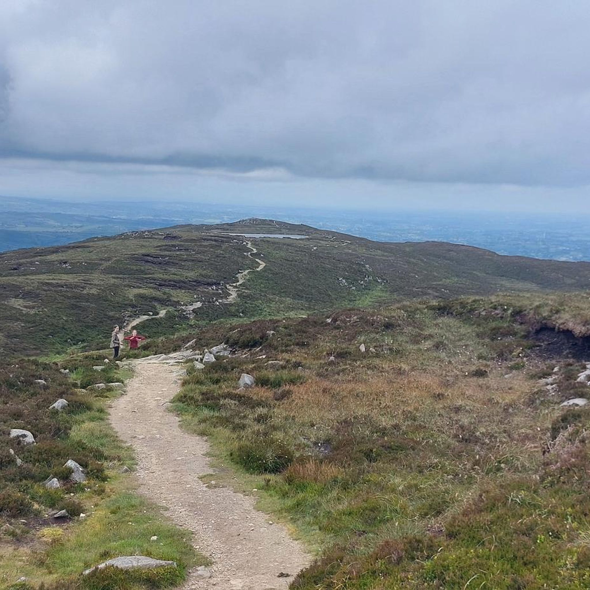
Road cycling routes around Tievecrom offer panoramic views, especially from higher elevations like Slieve Gullion, which can stretch as far as Dublin Bay and Wicklow on clear days. You can also discover natural features such as the quiet mountain lake, Calliagh Beara Lough, steeped in local legend, and the ancient North Cairn of Slieve Gullion.
Are there any historical sites or landmarks to explore along the road cycling routes?
Absolutely. The region is rich in history. Cyclists can encounter ancient historical sites such as the highest passage tomb in the British Isles on Slieve Gullion. Additionally, you might pass by historic structures like Castle Roche or Moyry Castle, offering intriguing points of interest during your ride.
Are there circular road cycling routes available in Tievecrom?
Yes, many of the road cycling routes around Tievecrom are designed as loops, allowing you to start and finish in the same location. For instance, the Termonfeckin Castle – Boyne River Greenway loop from Dundalk Clarke is a popular circular route connecting historical landmarks and scenic waterways.
What is the best time of year for road cycling in Tievecrom?
The region's varied terrain and natural beauty can be enjoyed throughout much of the year. However, for the most comfortable experience and best panoramic views, spring and summer months typically offer more favorable weather conditions. Clear days are ideal for appreciating the distant vistas from Slieve Gullion.
What do other road cyclists enjoy most about cycling in Tievecrom?
The area is highly rated by the komoot community, with an average score of 4.25 stars from more than 3 reviews. Cyclists often praise the blend of challenging ascents, rewarding descents, and serene stretches through varied terrain, as well as the opportunity to explore ancient historical sites and breathtaking panoramic views.
What are the typical distances of road cycling routes in the Tievecrom area?
Route distances vary significantly, catering to different preferences. You can find shorter routes, such as the View of Dundalk Bay – Basecamp Coffee loop from Jonesborough at 17.3 miles (27.9 km), or longer excursions like the View of Dundalk Bay – Termonfeckin Castle loop from Dundalk Clarke, which covers about 70.3 miles (70.3 km).
Are there options for family-friendly road cycling routes in Tievecrom?
While the region is known for its mountainous terrain, there are easier routes that families might find suitable. These routes typically feature less elevation gain and shorter distances. It's advisable to check the difficulty rating and elevation profile of specific routes on komoot to ensure they match your family's cycling ability.
Where can I find parking for road cycling routes in the Tievecrom area?
While specific parking locations for Tievecrom itself are not detailed, the broader region of southern Armagh and areas near popular routes often provide designated parking. For example, areas near the Long Woman's Grave car park are mentioned as starting points for rides, suggesting parking availability there. It's recommended to check route descriptions on komoot for specific trailhead parking information.
Are there cafes or places to stop for refreshments along the routes?
Yes, some routes are designed to pass by or connect to local establishments. For instance, the Basecamp Coffee – Strandfield Coffee Shop loop from Dundalk Clarke explicitly mentions coffee shops, indicating opportunities for refreshments. The towns and villages surrounding Tievecrom, such as Newry and Crossmaglen, also offer various cafes, pubs, and accommodation options for cyclists.
Most popular routes around Tievecrom
Most popular attractions around Tievecrom

Get inspired with the komoot mobile app


Explore more
Browse the best Road cycling routes in other regions.
