The best road cycling routes around Casti-Wergenstein
4.8
(139)
4,309
riders
27
rides
Road cycling routes around Casti-Wergenstein navigate a landscape characterized by alpine valleys, mountain passes, and serene lakes. The region, part of the Grisons canton, offers varied terrain suitable for road cyclists seeking both challenging ascents and scenic valley rides. Elevations can be significant, with routes often traversing through picturesque villages and alongside natural water features.
Best road cycling routes around Casti-Wergenstein
- The most popular road cycling route is Runda Schams – Grisons' Road Cycling Menu, a 13.6 miles (21.9…
Last updated: October 11, 2026
5.0
(2)
31
riders
21.9km
01:36
730m
730m
Moderate road ride. Good fitness required. Mostly well-paved surfaces and easy to ride.
4.8
(14)
768
riders
89.2km
05:47
2,660m
2,660m
Hard road ride. Very good fitness required. Some segments of this route may be unpaved and difficult to ride.

4.8
(9)
411
riders
94.4km
05:17
1,960m
1,960m
Hard road ride. Very good fitness required. Some segments of this route may be unpaved and difficult to ride.
4.4
(14)
370
riders
85.7km
05:13
2,280m
2,280m
Hard road ride. Very good fitness required. Mostly well-paved surfaces and easy to ride.
4.6
(11)
230
riders
32.1km
02:05
980m
980m
Hard road ride. Very good fitness required. Mostly well-paved surfaces and easy to ride.
Get access to more routes and recommendations from other explorers.
Already have an account?
Our route recommendations are based on thousands of hikes, rides, and runs completed by other people on komoot.
Start today with a free account
Your next adventure awaits.
Popular around Casti-Wergenstein
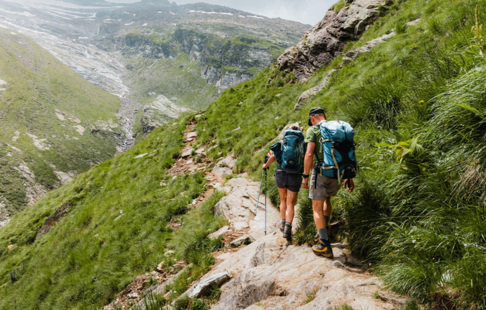
Mountain worlds and gorge magic – adventure hikes in the Viamala Region
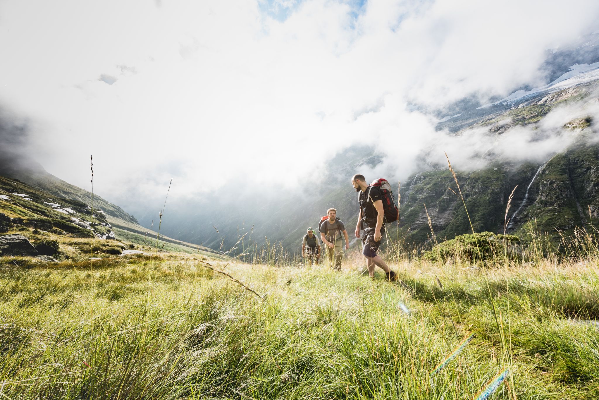
Over hill & dale – Viamala Hiking Paradise
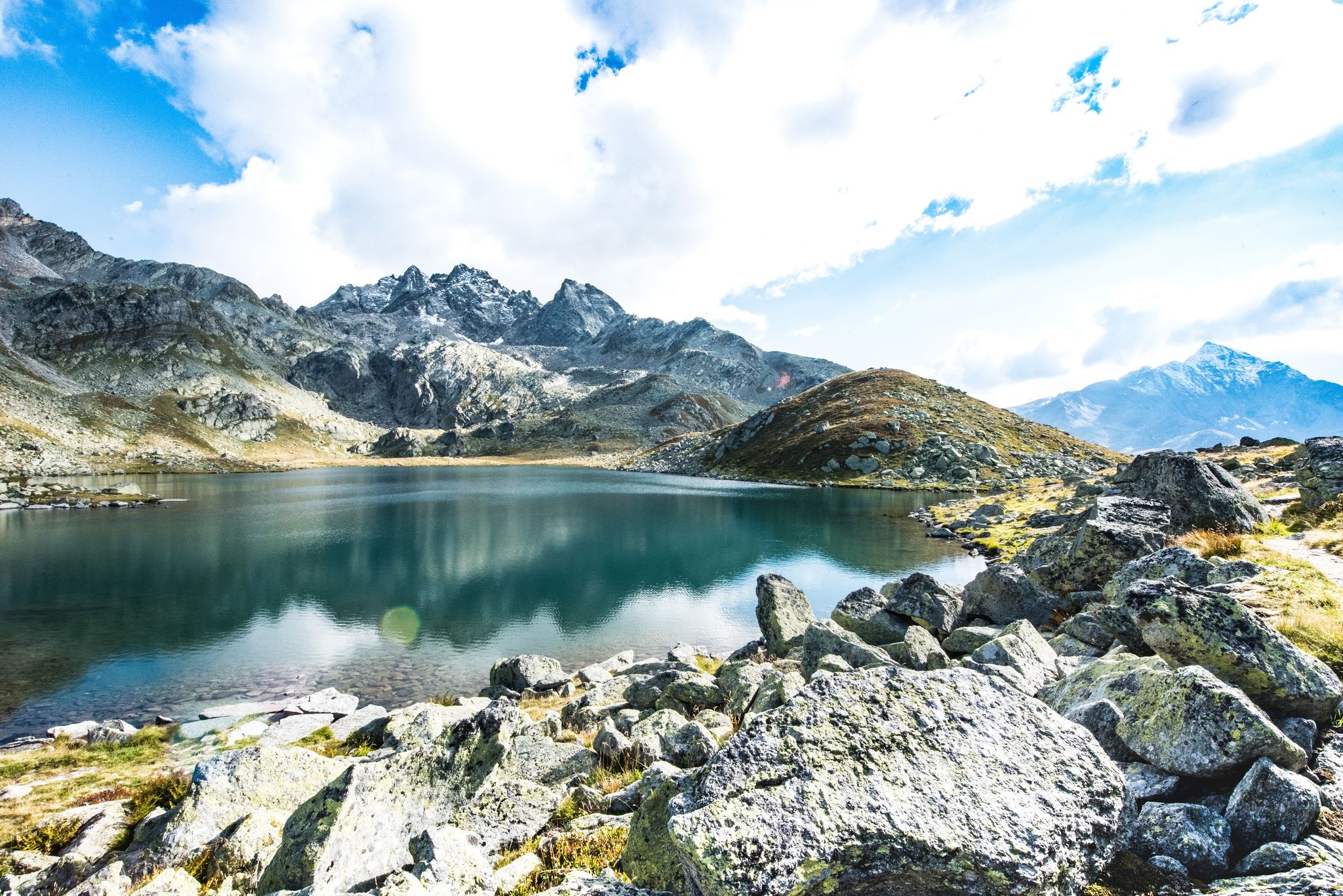
Viamala – a hiking paradise in the heart of the Grisons in Switzerland
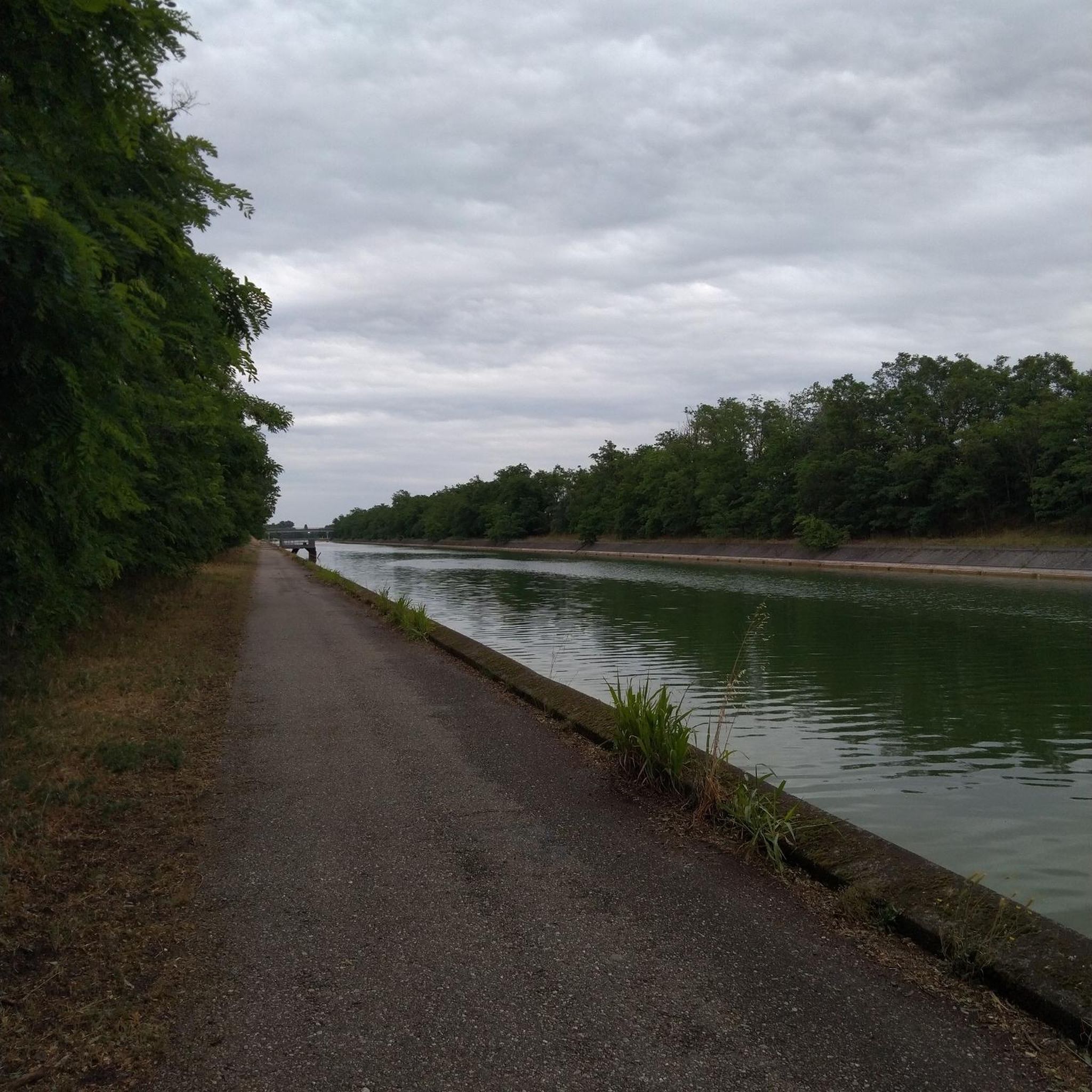
Gravel biking around Casti-Wergenstein
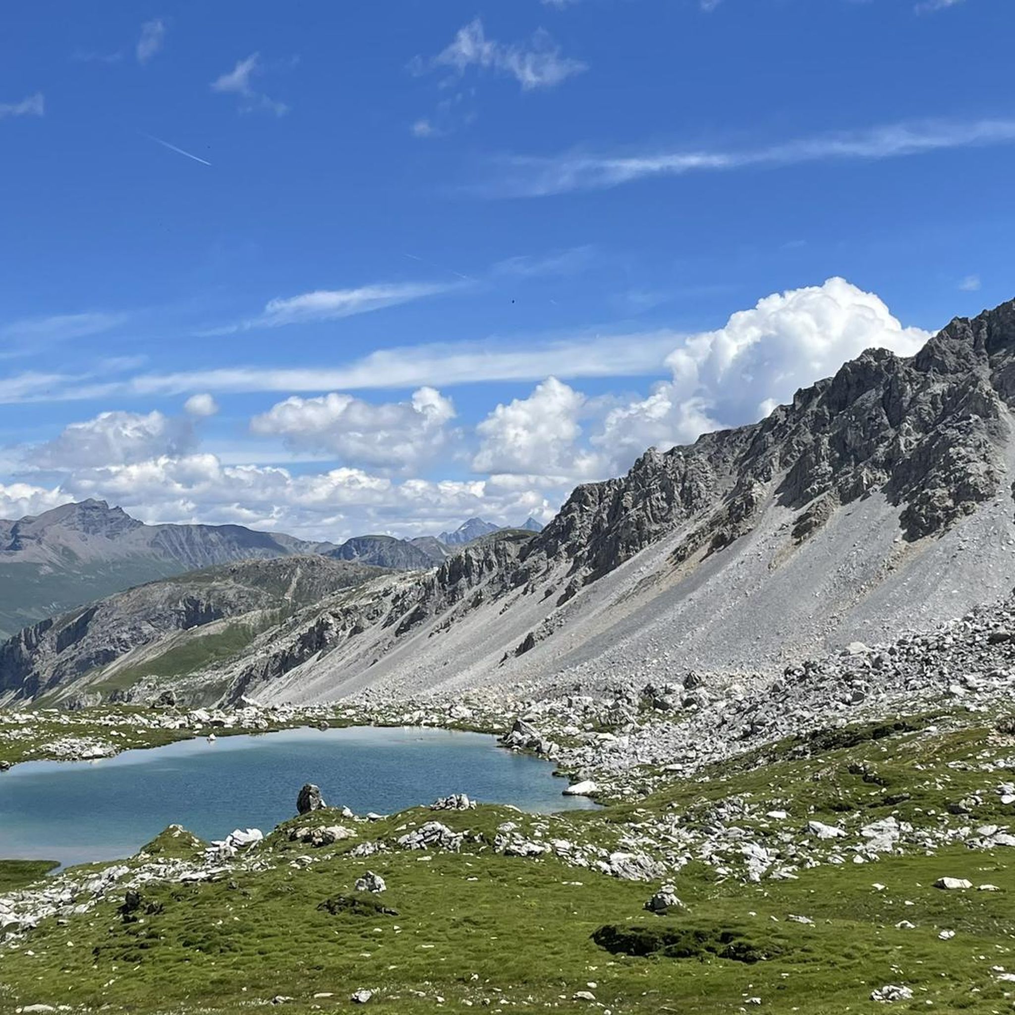
Hiking around Casti-Wergenstein
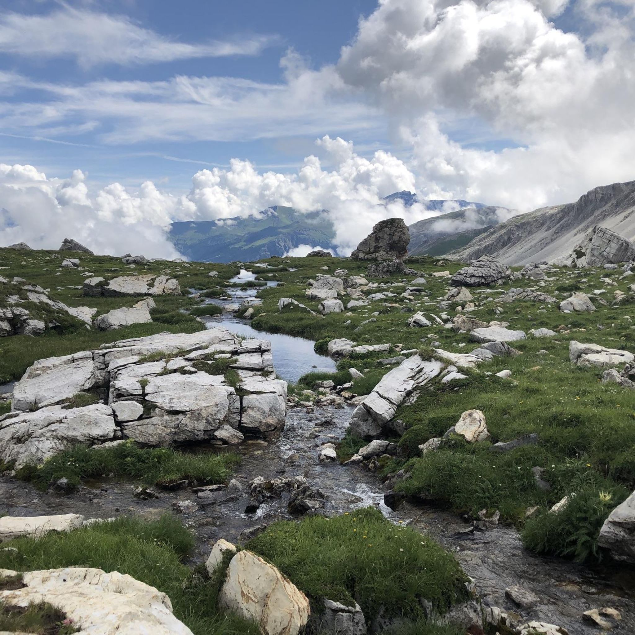
MTB Trails around Casti-Wergenstein
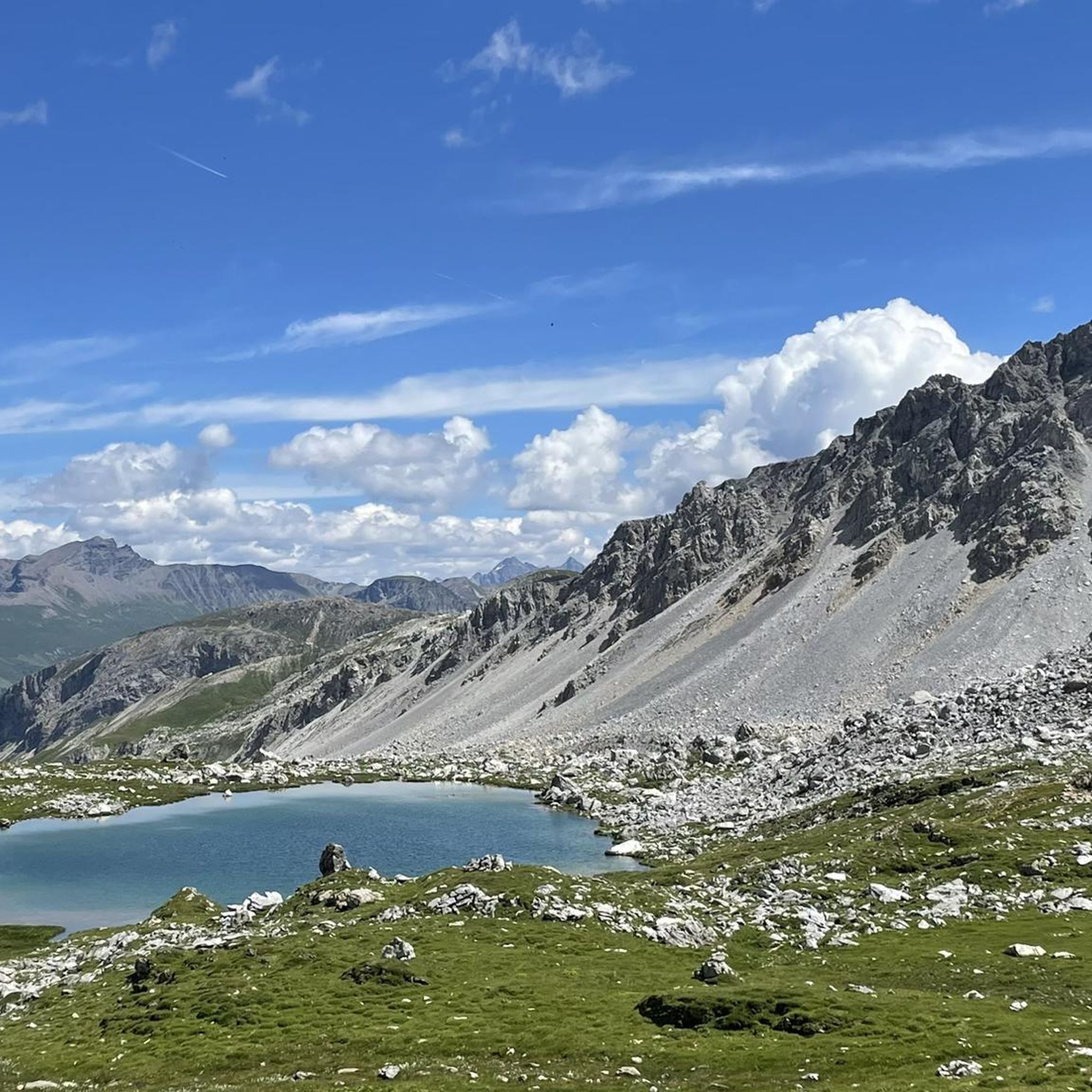
Cycling around Casti-Wergenstein
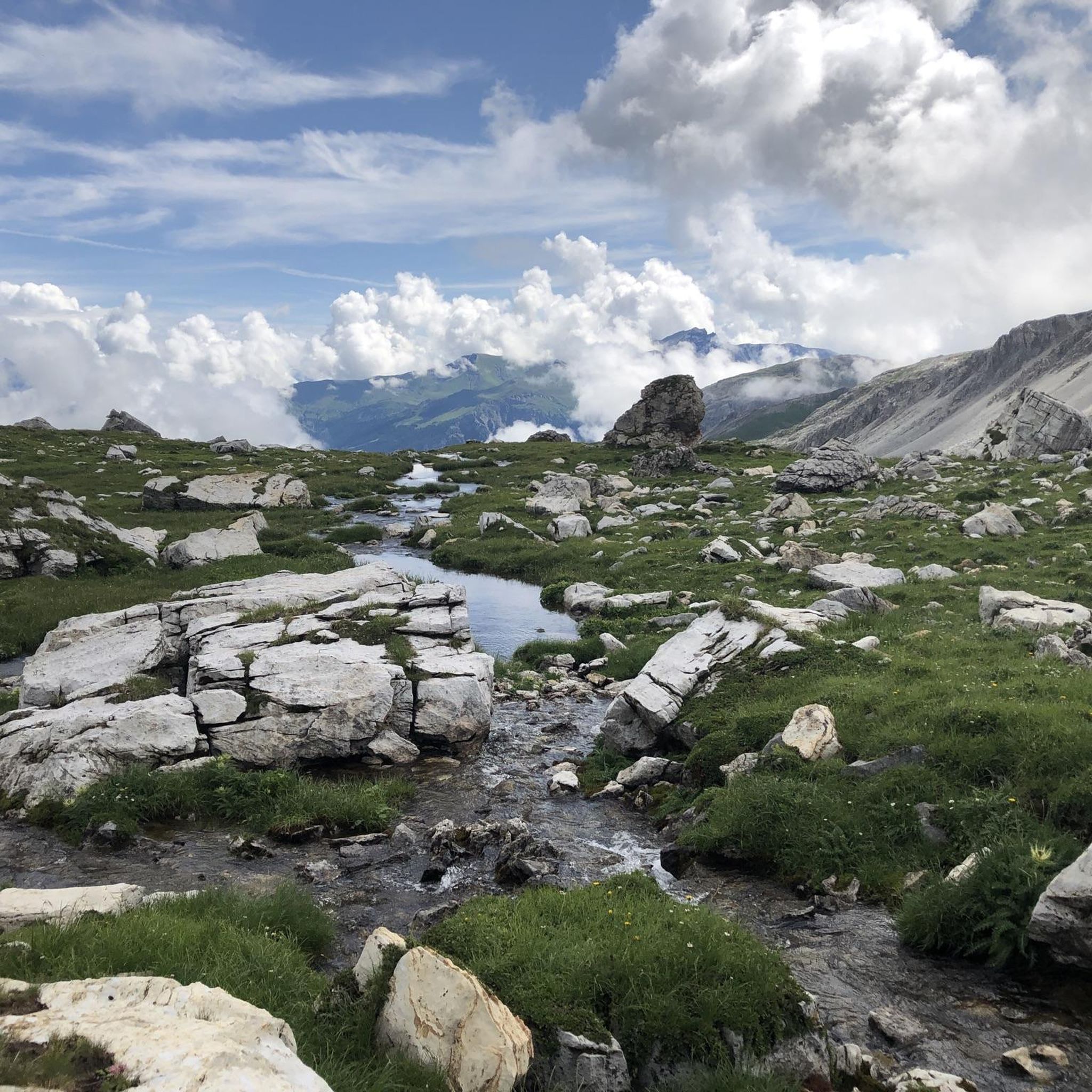
Running Trails around Casti-Wergenstein
Mountain Hikes around Casti-Wergenstein
Other adventures around Casti-Wergenstein

Tips from the Community


An intact village center and a turbulent history.
0
0


A reservoir in the Swiss canton of Graubünden, nestled in the impressive mountain landscape of the Viamala and Rheinwald regions. It stretches over a length of approximately two kilometers.
1
0

Since, as is often the case, the pass signs are completely covered with stickers, taking photos in front of them is no longer fun. Alternatively, you can use the boundary stone to take a "proof photo." On the other side of the road, there's another, smaller stone with the elevation: 2113 m.
0
0
A beautiful old town that invites you to take a break: So, first an espresso, then move on!
0
0
Absolutely impressive serpentine section! Be careful in the unlit tunnels!
0
0
Driving through these tunnels is a real highlight, but lights and a safety vest are recommended, as the tunnels are not lit!
1
0
Frequently Asked Questions
How many road cycling routes are available around Casti-Wergenstein?
There are nearly 30 road cycling routes documented around Casti-Wergenstein on komoot, offering a diverse range of experiences from moderate to difficult. Over 3,000 road cyclists have used komoot to explore this region.
What kind of terrain can I expect on road cycling routes in Casti-Wergenstein?
The region is characterized by alpine valleys, significant mountain passes, and serene lakes. You'll find routes traversing picturesque villages, alongside natural water features like Sufnersee, and through deep valleys such as Schams. Expect varied terrain with notable elevation changes.
Are there any easy road cycling routes for beginners in Casti-Wergenstein?
While many routes in this alpine region present a challenge, there is at least one easy road cycling route available. Most routes are classified as moderate or difficult, so beginners should carefully check route profiles before setting out.
What options are there for experienced road cyclists seeking a challenge?
Experienced road cyclists will find plenty of challenging routes, with 17 classified as difficult. Routes like Sufnersee – Splügen loop from Donat or Sufnersee – Lake Montespluga loop from Donat feature significant elevation gains and cover long distances, often taking several hours to complete.
Are there circular road cycling routes around Casti-Wergenstein?
Yes, many of the road cycling routes in the area are loops, allowing you to start and finish in the same location. Examples include the Sufnersee – Splügen loop from Donat and the Sufnersee – Juf Village loop from Sufers.
What is the best time of year for road cycling in Casti-Wergenstein?
Given the alpine nature of Casti-Wergenstein, the best time for road cycling is typically during the warmer months, from late spring to early autumn. This avoids snow and ice on higher passes and ensures more pleasant riding conditions.
What interesting landmarks or attractions can I see along the road cycling routes?
The region offers several notable attractions. You might encounter the impressive Viamala Gorge, the unique Traversinersteg Suspension Bridge, or the historic Alter Schin Historic Trail. The Roffla Gorge and Pùnt da Suransuns are also points of interest.
What do other road cyclists enjoy most about road cycling in Casti-Wergenstein?
The area is highly rated by the komoot community, with an average score of 4.8 stars from over 80 reviews. Cyclists often praise the stunning alpine scenery, the challenging climbs, and the well-maintained routes that showcase the natural beauty of the Grisons canton.
Are there any long-distance road cycling routes available?
Yes, Casti-Wergenstein offers several long-distance routes. For example, the Sufnersee – Splügen loop from Donat is a difficult 58-mile (93.4 km) path, and the Sufnersee – Lake Montespluga loop from Donat covers 53.3 miles (85.7 km), both offering extensive rides through alpine scenery.
What is a representative road cycling experience in the Schams valley?
For a representative experience of the Schams valley, consider the Runda Schams – Grisons' Road Cycling Menu. This moderate 13.6-mile (21.9 km) trail offers a good overview of the valley's characteristics and typically takes about 1 hour 35 minutes to complete.
Are there routes that feature glacial lakes?
Absolutely. Glacial lakes like Sufnersee are prominent features in the region. Routes such as the Splügen Pass – Lake Sufner loop from Andeer specifically incorporate these beautiful water bodies into the cycling experience.
Most popular routes around Casti-Wergenstein
Most popular attractions around Casti-Wergenstein

Get inspired with the komoot mobile app


Explore more
Browse the best Road cycling routes in other regions.
