The best MTB trails around Pantà de la Llosa del Cavall
4.4
(20)
607
riders
53
rides
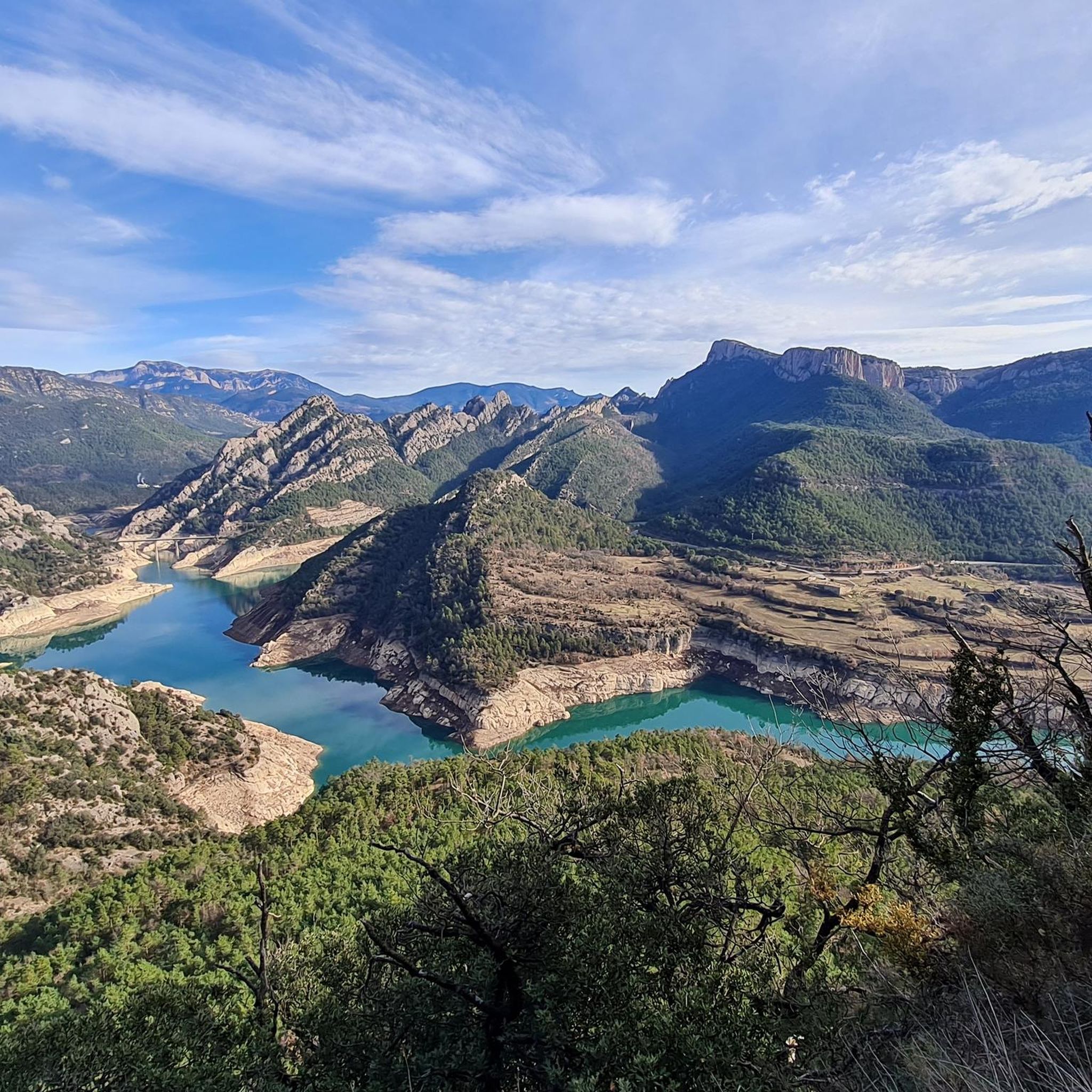
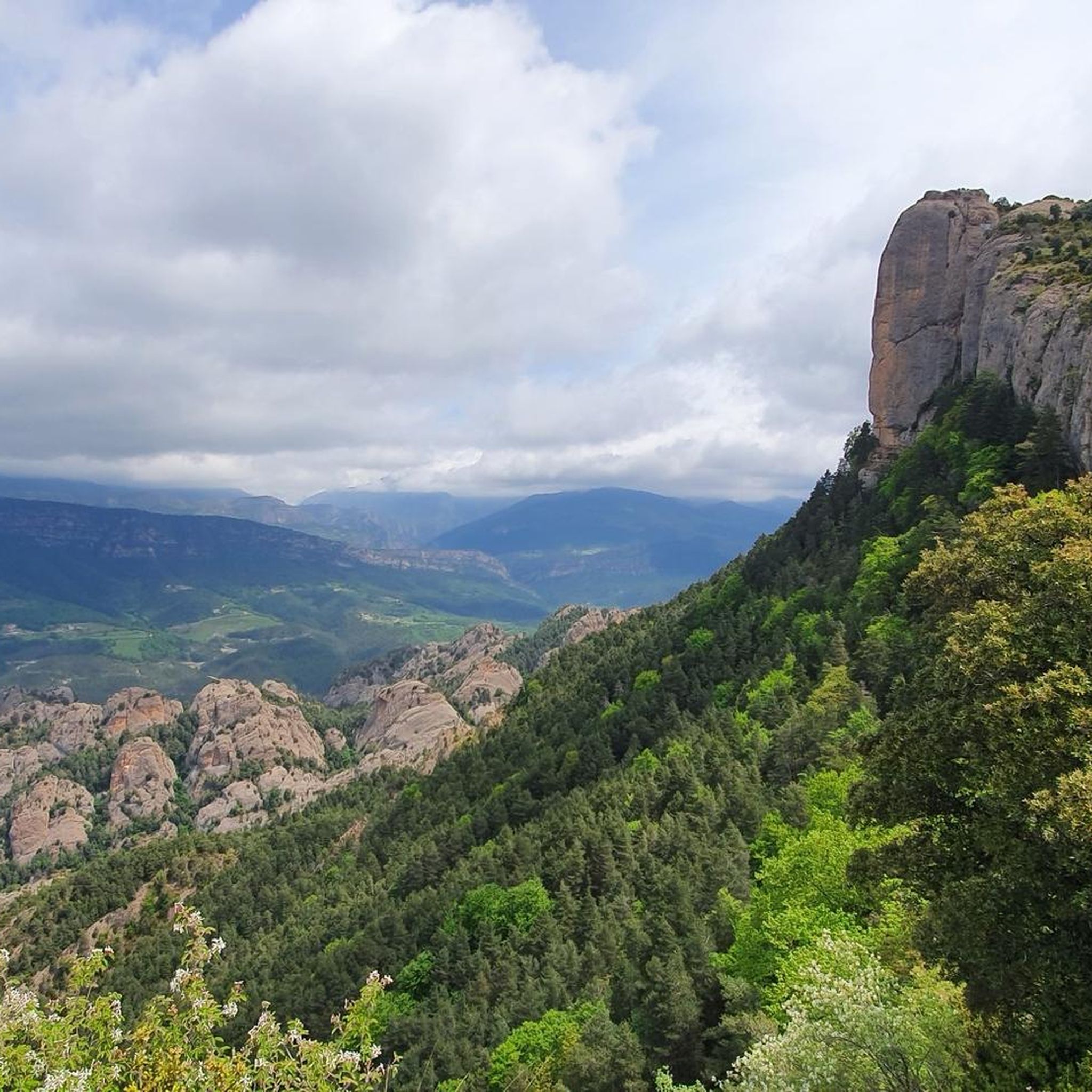
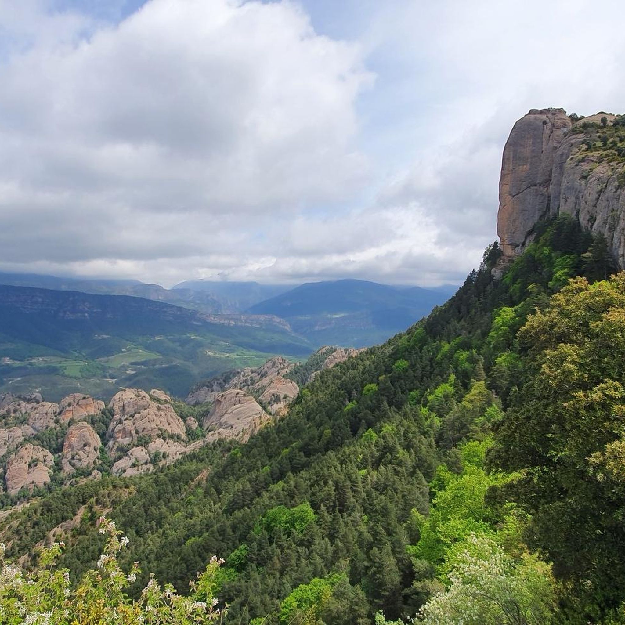
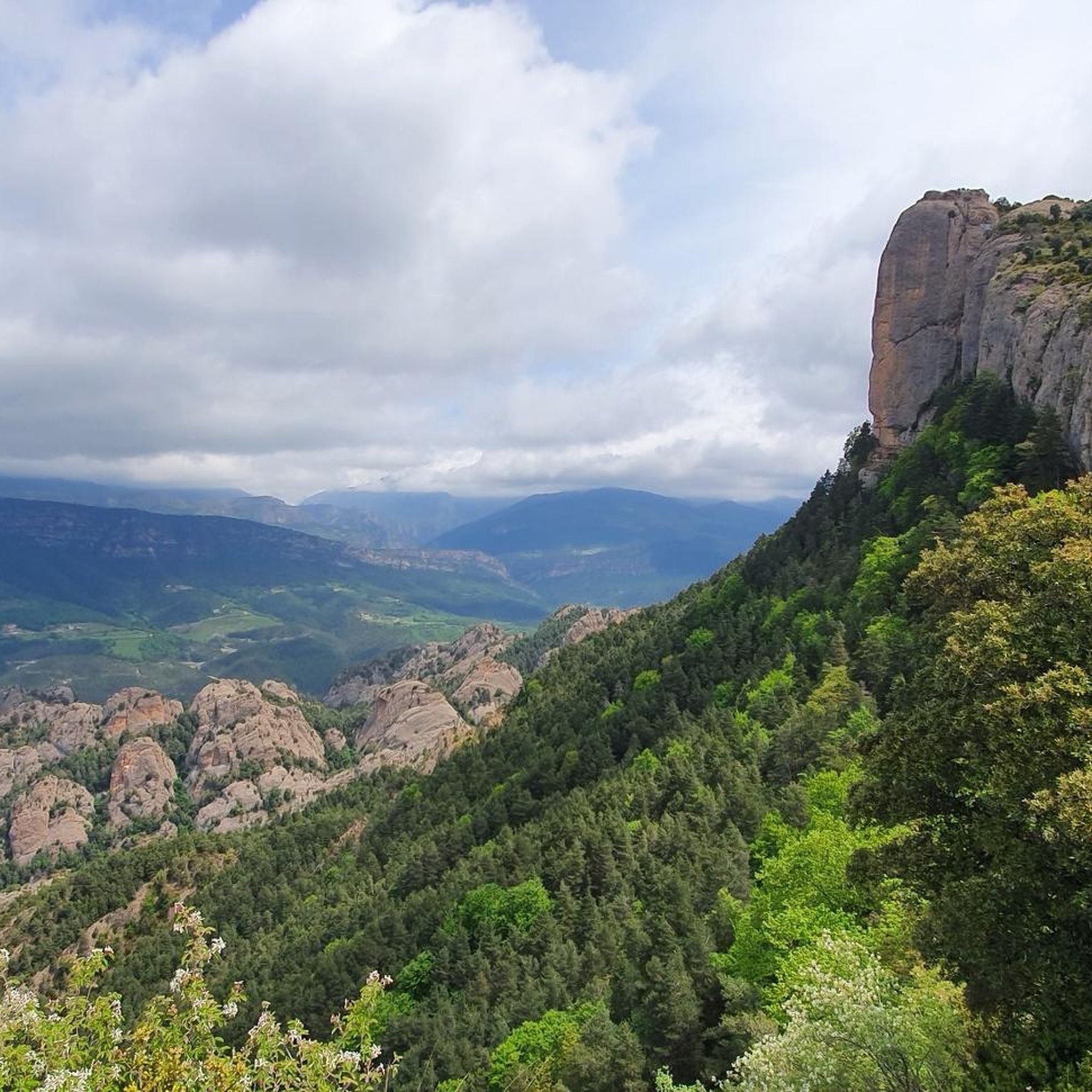
Mountain bike trails around Pantà de la Llosa del Cavall traverse a diverse landscape within the Vall de Lord, characterized by the serene reservoir and surrounding mountainous terrain. The region features significant elevation changes, offering routes that wind through forests, along rocky shores, and past dramatic cliffs. This varied topography provides a range of challenges and scenic vistas for mountain bikers.
Best mountain bike trails around Pantà de la Llosa del Cavall
- The most popular mountain bike trail is Rasos…
Last updated: October 15, 2026
8
riders
85.2km
07:16
2,420m
2,420m
Hard mountain bike ride. Very good fitness required. Advanced riding skills necessary. Some portions of the route may require you to push your bike.
5.0
(3)
106
riders
49.8km
05:31
1,860m
1,860m
Hard mountain bike ride. Very good fitness required. Advanced riding skills necessary. Some portions of the route may require you to push your bike.

32
riders
52.8km
05:04
1,400m
1,400m
Hard mountain bike ride. Very good fitness required. Advanced riding skills necessary. Some portions of the route may require you to push your bike.
4.7
(3)
36
riders
Moderate mountain bike ride. Good fitness required. Suitable for all skill levels.
24
riders
39.0km
03:18
1,080m
1,080m
Hard mountain bike ride. Very good fitness required. Advanced riding skills necessary.
Get access to more routes and recommendations from other explorers.
Already have an account?
Our route recommendations are based on thousands of hikes, rides, and runs completed by other people on komoot.
Start today with a free account
Your next adventure awaits.
Tips from the Community

Sant Llorenç de Morunys is a town in the Solsonès region located at 925 metres above sea level, surrounded by the Port del Comte, Busa and Verd mountain ranges. It has a well-preserved medieval centre, with walls, cobbled streets and the 11th-century Romanesque church of Sant Llorenç, as the centre of the complex. It is a key point of passage and stop for mountain routes, cycle tours and crossings through the Pre-Pyrenees. The entrance and exit of the town can be done via roads with demanding slopes or forest tracks depending on the itinerary, but it is always worth stopping there to recover energy, fill up water bottles or take a quality break. A good place to charge batteries, both physical and e-bike.
1
0
Prat de Bacies is a grassy plateau located in the Port del Comte massif, between the municipalities of Odèn and La Coma i la Pedra, in Solsonès. With altitudes exceeding 2,000 meters, it is an open space, surrounded by black pine forests and reliefs of glacial origin such as sinkholes and depressions. The landscape is open, silent and with a feeling of spaciousness that is unusual in the Pre-Pyrenees. Access is via forest tracks that may have stony or eroded sections, especially during the rainy season. It is a good point to stop, observe and rest in an authentic mountain environment, away from crowded routes. If you do it with an e-bike, it is advisable to bring a full battery, as there are no services or assistance points in the area.
0
0

Very pretty path that crosses the plain then descends with wonderful views.
0
0

Spectacular climb to one of the most demanding peaks in Catalonia. Long climb, with sustained percentages and reaching almost 2000 meters. It is characterized by long straights and a very twisty and spectacular final stretch. Road in perfect condition.
0
0

Sant Llorenç de Morunys is a curious mountain town in the Solsonés region. If you are on the road here, do not hesitate to make a stop and recharge your batteries at any of its establishments.
1
0

a boring road but obligatory passage
0
0

It is said that in the past, people used to go to these sources to drink from them for nine consecutive days with the intention of curing their ailments. Although bathing can be beneficial for skin conditions, it is best to refrain from swallowing it.
1
0

Coll de Jou is a mountain pass located at an altitude of 1,461 meters in the heart of the Vall de Lord. A few meters away there is a viewpoint with impressive views of the mountains and a churrería.
2
0
Frequently Asked Questions
How many mountain bike trails are available around Pantà de la Llosa del Cavall?
There are over 40 mountain bike trails in the Pantà de la Llosa del Cavall area. These routes offer a diverse range of experiences, from moderate to very challenging, catering to various skill levels.
What kind of terrain can I expect on the mountain bike trails?
The terrain around Pantà de la Llosa del Cavall is highly varied, transitioning from the calm waters of the reservoir to mountainous areas with significant elevation changes. You'll encounter trails winding through dense forests, along rocky shores, and past dramatic cliffs, offering a mix of challenges and scenic vistas.
Are there any mountain bike trails that feature waterfalls?
Yes, there is a notable route that takes you past natural features including a waterfall. Consider the Sant Llorenç de Morunys – La Coma Waterfall loop from Sant Llorenç de Morunys, a moderate 12-mile trail that leads through forested areas and past this natural attraction.
What are some notable landmarks or viewpoints I can see while mountain biking?
The region offers stunning natural features. The reservoir itself is a central attraction with its pure, calm waters. You can also experience panoramic views from the Verger Viewpoint, which overlooks the reservoir and extends to the Serres de Busa - Bastets mountain ranges. The Sierra de Busa, with its dramatic cliffs and unique geological formations, also adds to the scenic beauty.
What is the best time of year to go mountain biking in Pantà de la Llosa del Cavall?
The area is suitable for mountain biking across various seasons, but spring and autumn generally offer the most pleasant weather conditions for exploring the trails. Summers can be warm, while winters might bring cooler temperatures, especially at higher elevations.
Are there any loop trails for mountain biking in the area?
Yes, many of the mountain bike routes around Pantà de la Llosa del Cavall are designed as loops, allowing you to start and finish at the same point. Examples include the challenging Rasos de Peguera – Pi de les tres branques loop from Sant Llorenç de Morunys and the moderate Sant Llorenç de Morunys – La Llosa del Cavall Reservoir loop from Sant Llorenç de Morunys.
What are the typical lengths and elevation gains of the mountain bike trails?
Trail lengths vary significantly, from shorter routes around 12 miles, like the Sant Llorenç de Morunys – Canal of Canalda loop from Sant Llorenç de Morunys, to longer, more demanding trails over 50 miles. Elevation gains can range from around 500 meters for moderate routes to over 2,400 meters for the most difficult ones, such as the Rasos de Peguera – Pi de les tres branques loop from Sant Llorenç de Morunys.
What do other mountain bikers say about the trails in Pantà de la Llosa del Cavall?
The mountain bike trails in Pantà de la Llosa del Cavall are highly rated by the komoot community, with an average score of 4.6 stars. Over 600 mountain bikers have explored the varied terrain, often praising the diverse landscapes, challenging climbs, and scenic views of the reservoir and surrounding mountains.
Are there options for parking when visiting the mountain bike trails?
While specific parking facilities for each trail are not detailed, the town of Sant Llorenç de Morunys often serves as a common starting point for many routes, and you can typically find parking options within or near the town to access the trailheads.
Are there any amenities like cafes or accommodation near the mountain bike trails?
The nearby town of Sant Llorenç de Morunys is a good base for mountain bikers, offering various services including cafes, pubs, restaurants, and accommodation options. This allows riders to refuel and relax after their rides.
Are there any particularly challenging mountain bike routes for experienced riders?
Yes, the area is well-suited for experienced mountain bikers seeking a challenge. Many routes feature substantial climbs and descents. For example, the Sant Llorenç de Morunys – Coll de Jou Churro Shop loop from Sant Llorenç de Morunys is a difficult 24-mile path with significant elevation changes through varied terrain.
Can I reach the mountain bike trails using public transport?
Information on specific public transport links directly to the trailheads is limited. However, you may find bus services to nearby towns like Sant Llorenç de Morunys, which can serve as a gateway to the region's mountain biking network. It's advisable to check local transport schedules in advance.
Most popular routes around Pantà de la Llosa del Cavall

Get inspired with the komoot mobile app


Explore more
Browse the best MTB trails in other regions.
