The best MTB trails around Pantà de la Baells
4.7
(129)
2,942
riders
175
rides
Mountain biking around Pantà de la Baells offers diverse landscapes within the Berguedà region of Catalonia. The area is characterized by the Llobregat river, the expansive reservoir, and surrounding "cycling mountains" like La Catllaràs and Pedraforca. Terrain varies from challenging ascents to more accessible paths, providing options for different skill levels. The region's natural features include parts of the Cadí-Moixeró Natural Park and panoramic viewpoints.
Best mountain bike trails around Pantà de la Baells
- The most popular mountain bike trail…
Last updated: August 22, 2026
5
riders
23.4km
02:44
950m
950m
Hard mountain bike ride. Very good fitness required. Advanced riding skills necessary. Some portions of the route may require you to push your bike.
4.6
(5)
13
riders
26.0km
02:34
940m
940m
Hard mountain bike ride. Very good fitness required. Advanced riding skills necessary. Some portions of the route may require you to push your bike.

Sign up for free
10
riders
28.5km
03:31
1,370m
1,370m
Hard mountain bike ride. Very good fitness required. Advanced riding skills necessary. Some portions of the route may require you to push your bike.
6
riders
16.5km
01:46
690m
690m
Hard mountain bike ride. Good fitness required. Advanced riding skills necessary. Some portions of the route may require you to push your bike.
53
riders
78.1km
08:04
2,440m
2,440m
Hard mountain bike ride. Very good fitness required. Advanced riding skills necessary. Some portions of the route may require you to push your bike.
Get access to more routes and recommendations from other explorers.
Sign up for free
Already have an account?
Our route recommendations are based on thousands of hikes, rides, and runs completed by other people on komoot.
Start today with a free account
Your next adventure awaits.
Login or Signup
Tips from the Community

High mountain crossing point with spectacular views over the Cadí and the Pedraforca massif. The pass marks the boundary between black pine forests and alpine meadows, and is an ideal place to catch your breath before tackling the final climb to the summit. On a mountain bike, the climb is tough and with rocky sections that may require pushing the bike at some points. Tip: slow down and save your energy for the last section; the reward is a panoramic view that will make you forget your tiredness.
0
0
The final ascent to Pedraforca from the Coll de les Bassotes, within the Cadí-Moixeró Natural Park, begins from the forest track that leaves the signposted car park at the Saldes descent and the Gresolet viewpoint. The path climbs steadily towards the meadows of Toixons and Socarrat, crosses the Prat Llong and the ridge of the Serra Pedregosa until reaching the Cortils gap, right next to the north wall of Pedraforca. The last section is demanding, with sections of loose stone, a steep slope and exposure to the wind. Good traction, physical preparation and a bike in good condition are required if you do it with an MTB or e-bike. It is a place that demands respect but rewards you with one of the most iconic views of the Catalan Pyrenees.
0
0

The gradient is impressive. It's worth it.
0
0

The Mina dels Graus Located in the mountainous surroundings of Peguera, in the municipality of Fígols (Berguedà), the Mina dels Graus is part of the 20th century mining heritage linked to the exploitation of lignite in the region. This mine, despite not being large, played a key role in the logistics network that connected the different operations of Peguera with the mining colony of Cercs. One of the most outstanding elements of the area is the tunnel of Graus, excavated directly into the rock and with a length of approximately 10 meters. This tunnel allowed the passage of the mining railway, which transported coal from the mines to the station of Fígols. The surroundings also preserve vestiges of hoppers, deposits and other structures related to the transport and storage of coal. The Mina dels Graus was part of a complex network of infrastructures that included cable cars, inclined planes and railways, designed to facilitate the movement of the mineral in steep and difficult-to-access terrain. It was a strategic link between the Graell cable car and the Realidad mine, which connected the various operations. Today, the area is accessible via different hiking and mountain bike routes, and has become a place of interest for lovers of nature, industrial history and mining heritage. The Mina dels Graus is a silent witness to a time when mining was the economic engine of Berguedà and a key player in the transformation of the territory.
0
0

From this pass, a rather technical trail leads to the village of Gósol. Getting here is quite difficult; it's a very long and arduous climb.
1
0
A beautiful stretch of scenic road, the views of Pedradorca are spectacular. It's impossible not to stop constantly to admire the scenery and take photos.
0
0
From this hill there is a rather technical trail to Gósol.
1
0

Located at an altitude of 1,600 meters, Peguera is an abandoned village belonging to the municipality of Fígols. Its peak mining activity was experienced in the late 19th and mid-20th centuries, thanks to the high level of mining activity. The abandonment of the coal mines further depopulated Peguera, leaving it in its current state, where most of the houses are in ruins.
0
0
Frequently Asked Questions
How many mountain bike trails are available around Pantà de la Baells?
There are over 180 mountain bike routes around Pantà de la Baells, offering a wide range of options for different skill levels and preferences. This includes 17 easy routes, 79 moderate routes, and 86 difficult routes.
What kind of terrain can I expect when mountain biking in the Pantà de la Baells area?
The terrain around Pantà de la Baells is very diverse, ranging from challenging ascents in the 'cycling mountains' like La Catllaràs and Pedraforca, to more accessible paths near the reservoir. You'll find varied landscapes including sections of the Cadí-Moixeró Natural Park, offering both physical and technical challenges, and some routes may even require pushing your bike on difficult segments.
Are there any family-friendly mountain bike trails around Pantà de la Baells?
Yes, the region offers routes suitable for various skill levels, including easier rides with minimal elevation gain that are ideal for families or beginners. While specific family-friendly routes aren't highlighted by name, the presence of 17 easy routes suggests suitable options for a less strenuous outing.
What are some notable natural features or landmarks I might see while mountain biking here?
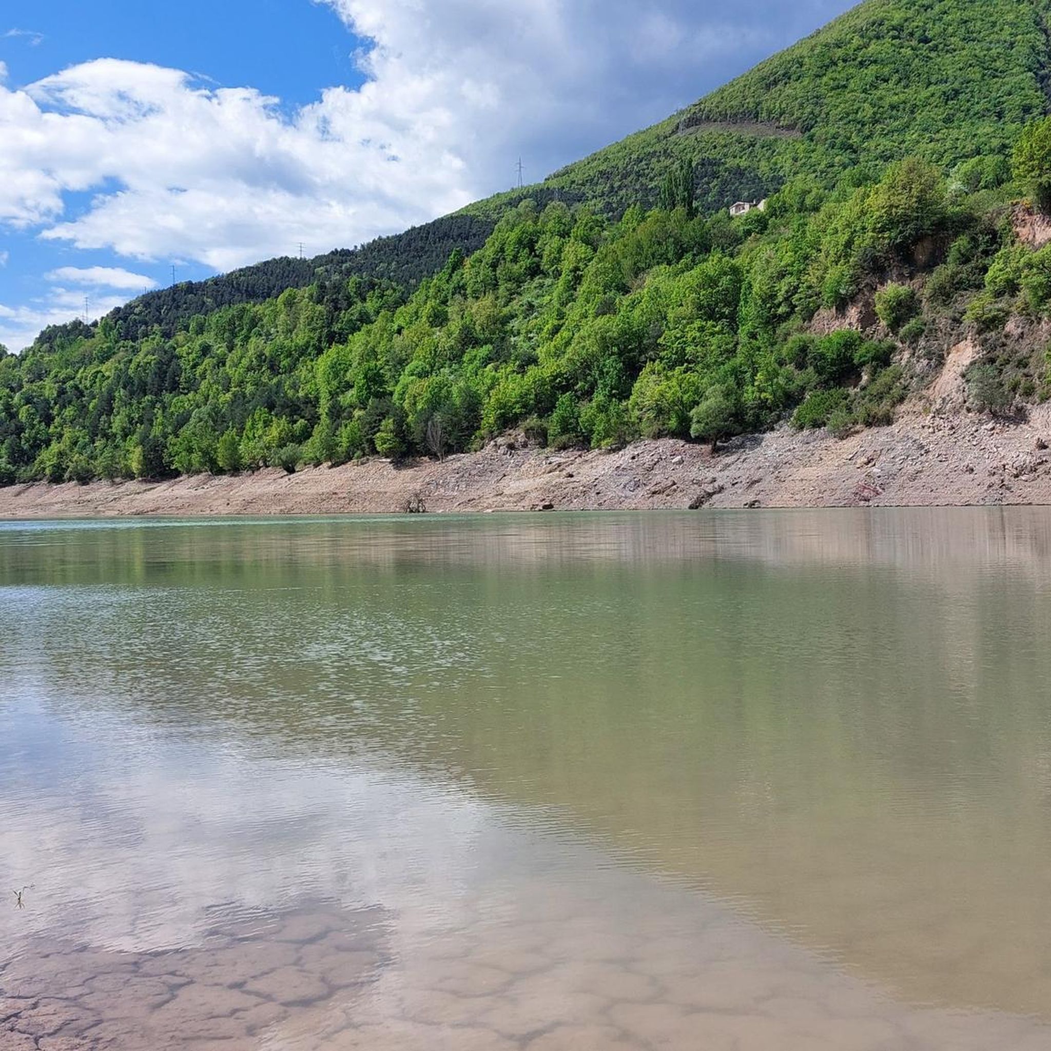
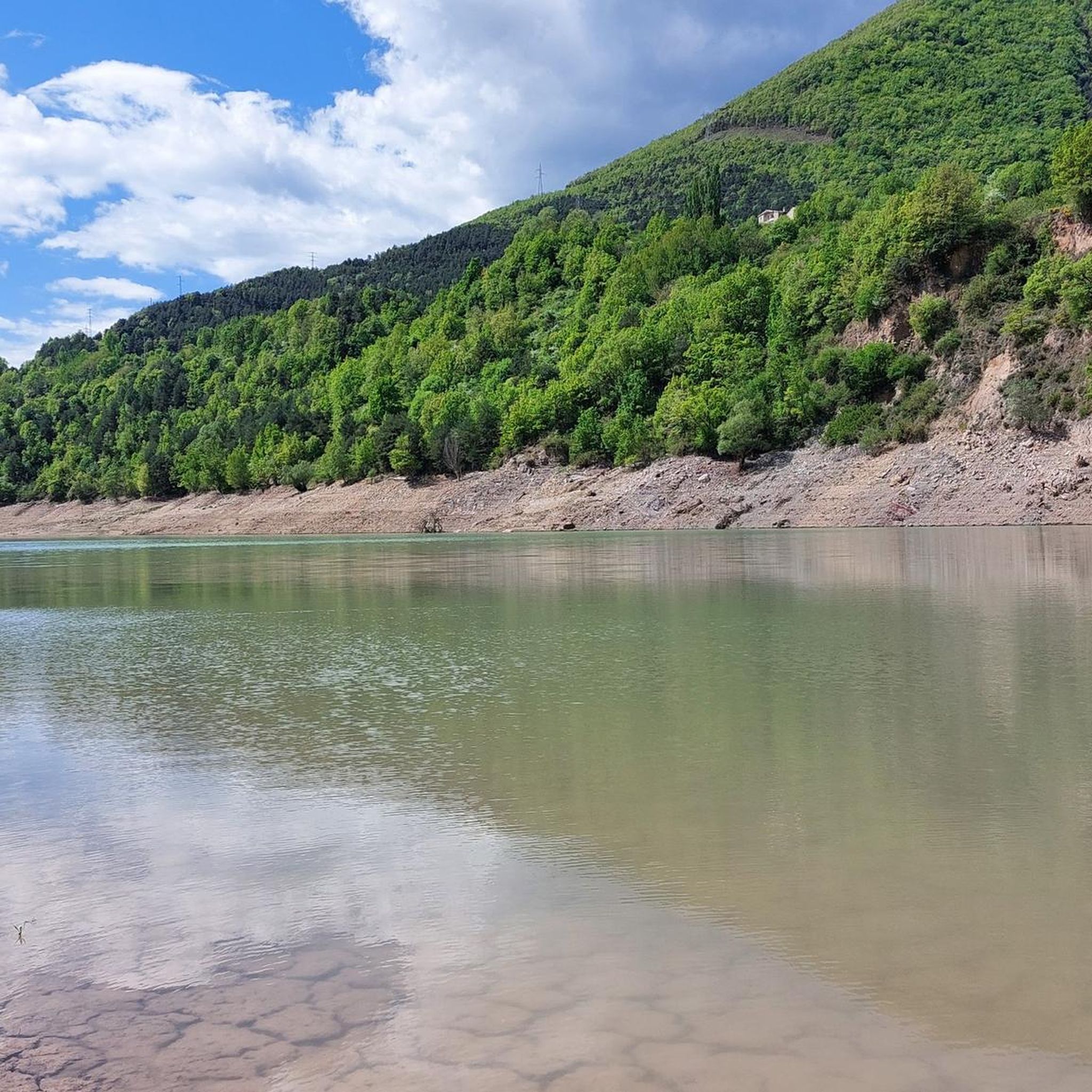
You'll encounter diverse natural beauty, including the expansive Pantà de la Baells reservoir itself, formed by the Llobregat river. The area also borders the Cadí-Moixeró Natural Park, home to the iconic Pedraforca mountain. Keep an eye out for panoramic viewpoints, such as the one at Serrat de la Figuerassa, offering stunning views of Baix Berguedà and Bages.
Are there any circular mountain bike routes available?
Yes, many of the mountain bike routes in the area are loops. For example, the difficult route Mountain Ascent Track – Gaudí Chalet of Catllaràs loop from Vilada is a 41.2 km circular trail, and Carretera de la Clusa – Church of La Nou de Berguedà loop from Vilada is another popular difficult loop covering 25.9 km.
What do other mountain bikers enjoy most about the trails around Pantà de la Baells?
The mountain bike trails around Pantà de la Baells are highly rated by the komoot community, with an average score of 4.7 stars from over 125 reviews. Riders often praise the diverse landscapes, the challenging nature of many routes, and the stunning views, especially in areas like La Catllaràs and Pedraforca.
Can I find routes suitable for advanced mountain bikers?
Absolutely. The region is known for its 'cycling mountains' and offers 86 difficult routes designed for experienced riders. These trails often feature significant elevation gain, technical sections, and require very good fitness and advanced riding skills. An example is the Track to Vallcebre Road – Saldes River Trail loop from Fígols, a challenging 39 km route.
Are there any cultural or historical sites accessible by mountain bike?
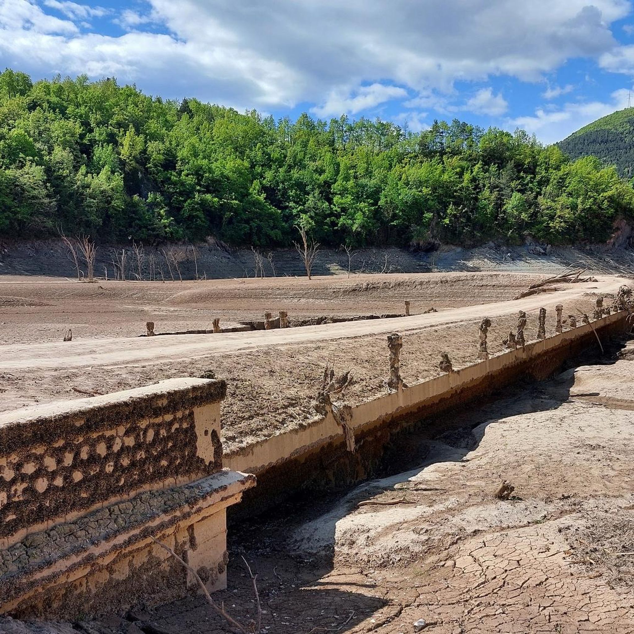
While mountain biking, you might pass by historical sites such as the Gothic Pedret bridge over the Llobregat river. The region also has unique attractions like the Sant Salvador de la Vedella Monastery, which stands in the middle of the reservoir, a survivor of the old submerged town.
What is the best time of year to go mountain biking in Pantà de la Baells?
The warmer months are generally ideal for outdoor activities in the region, including mountain biking. However, the diverse terrain means that conditions can vary. Always check local weather forecasts and trail conditions before heading out, especially for higher elevation routes or after rainfall.
Are there any shorter, challenging routes for a quicker ride?
Yes, if you're looking for a difficult ride that can be completed in under two hours, consider the Mountain Ascent Track – Refugio La Clusa loop from Vilada. This route is 16.5 km long and typically takes around 1 hour 46 minutes, offering a significant challenge in a shorter timeframe.
What kind of elevation changes can I expect on the trails?
Elevation changes vary significantly depending on the route. While some easy trails have minimal gain, many difficult routes feature substantial climbs. For instance, the Mountain Ascent Track – El Clot Area loop from Vilada involves over 1300 meters of ascent, making for a demanding ride.
Most popular routes around Pantà de la Baells

Get inspired with the komoot mobile app


Explore more
Browse the best MTB trails in other regions.
