The best road cycling routes around Embalse de Contreras
5.0
(2)
242
riders
14
rides
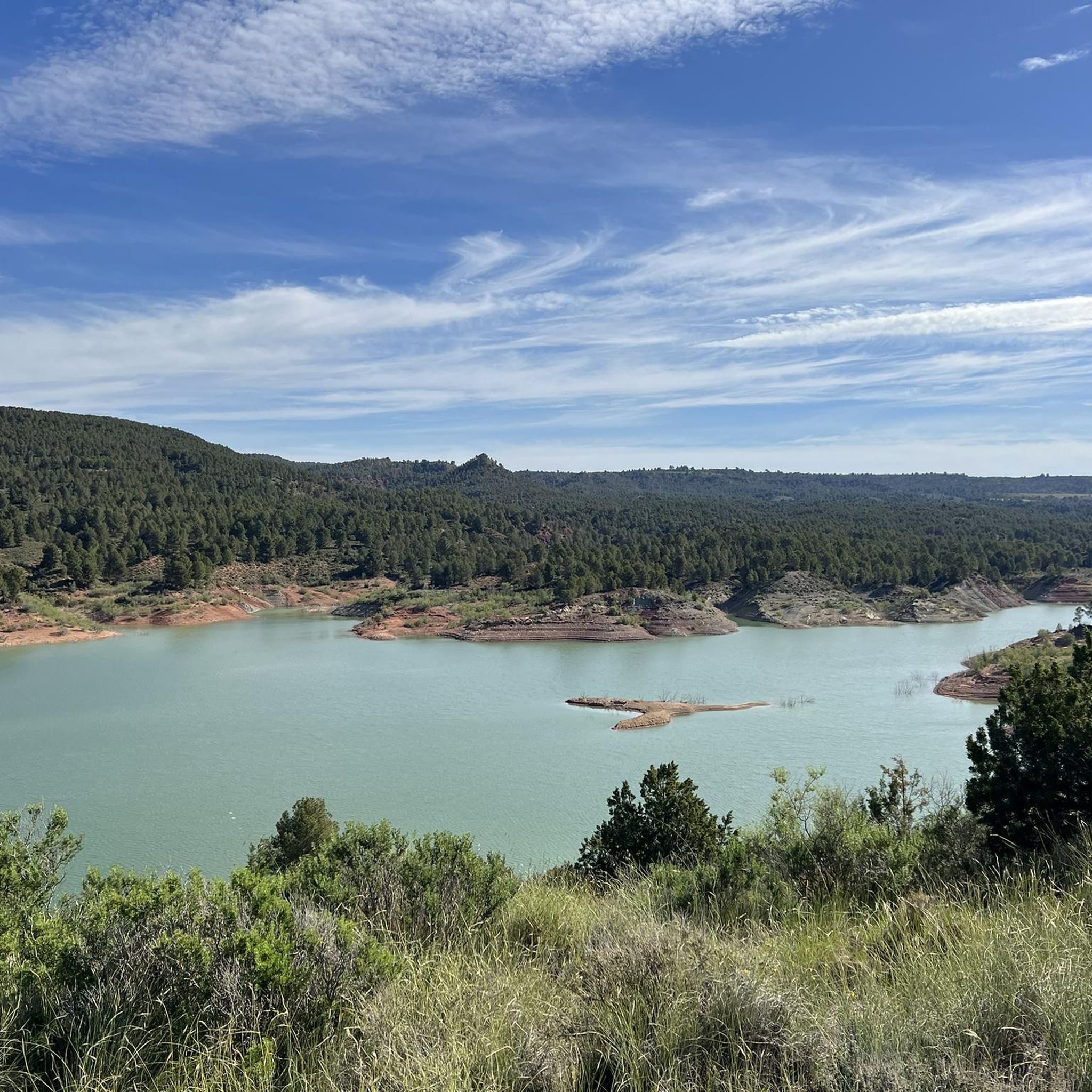
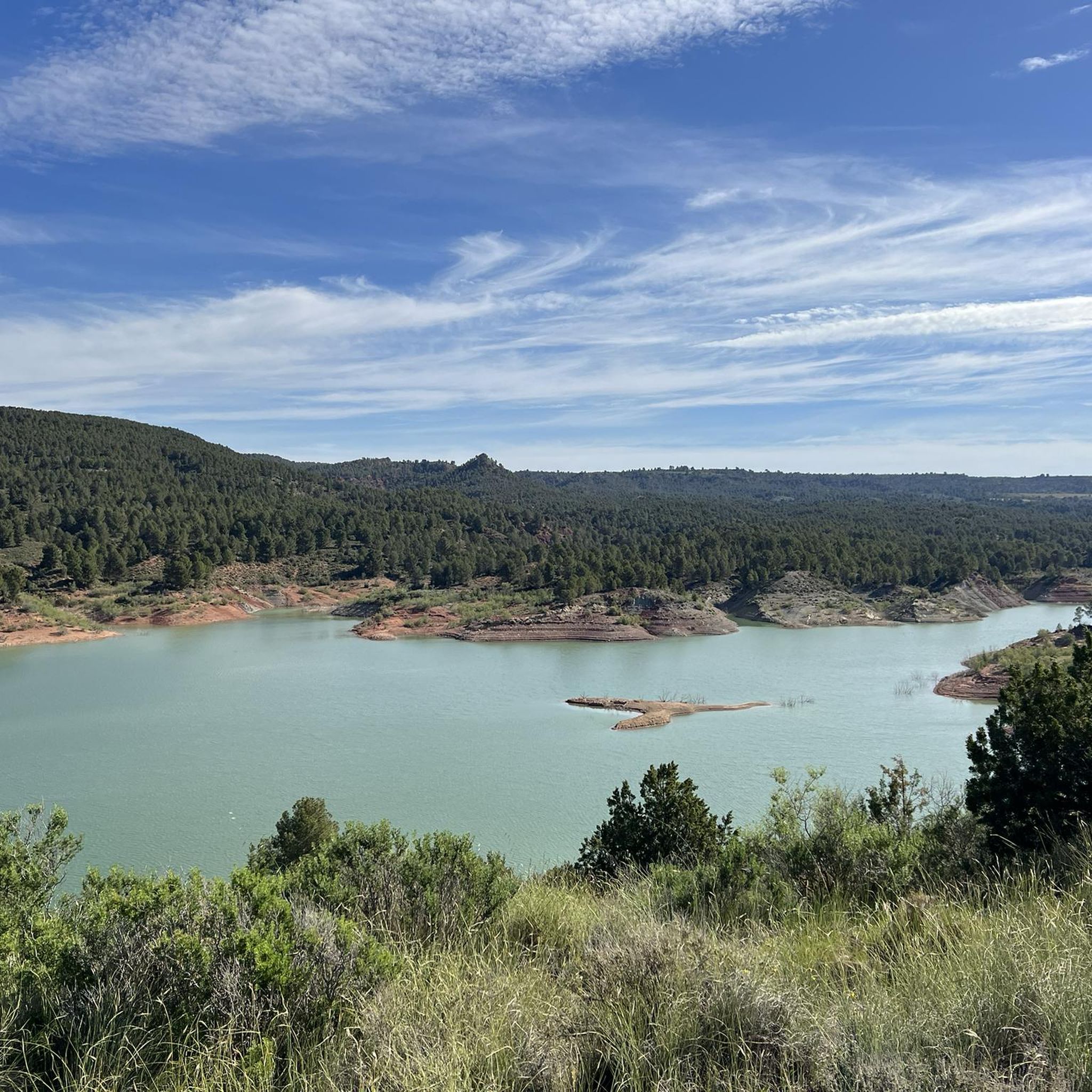
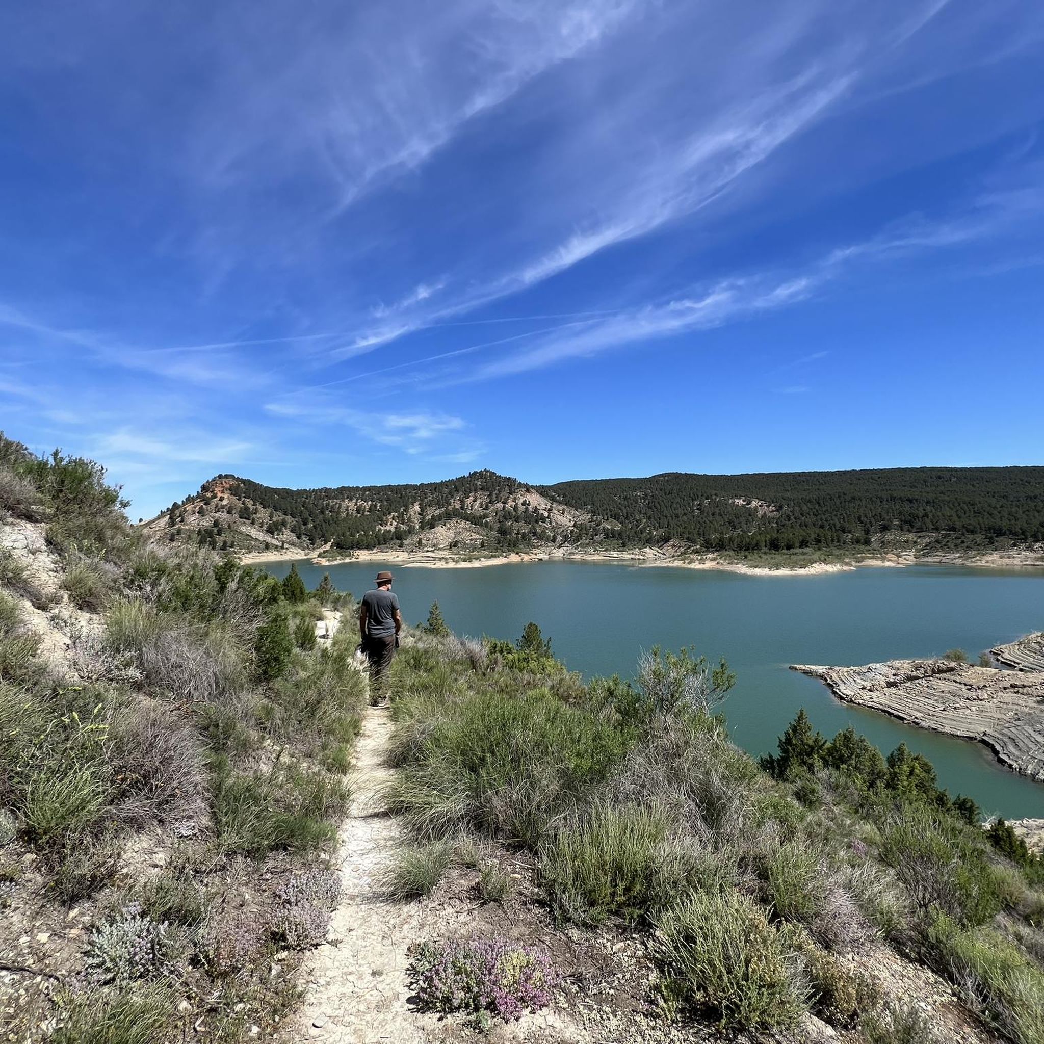
Road cycling around Embalse de Contreras offers diverse terrain, featuring the large reservoir with clear waters, dramatic gorges of the Hoces del Cabriel Natural Park, and impressive limestone formations known as Cuchillos de Contreras. The region provides a mix of hills, valleys, and vineyards, creating varied landscapes for cyclists. Roads are often quiet secondary routes, allowing for an immersive experience of the natural beauty.
Best road cycling routes around Embalse de Contreras
- The most popular road cycling route is Contreras…
Last updated: July 11, 2026
5.0
(1)
18
riders
29.9km
01:39
610m
610m
Moderate road ride. Good fitness required. Mostly well-paved surfaces and easy to ride.
14
riders
44.7km
01:57
370m
370m
Moderate road ride. Good fitness required. Mostly well-paved surfaces and easy to ride.

Sign up for free
18
riders
134km
06:34
1,890m
1,890m
Hard road ride. Very good fitness required. Some segments of this route may be unpaved and difficult to ride.
20
riders
Hard road ride. Very good fitness required. Mostly well-paved surfaces and easy to ride.
14
riders
Hard road ride. Very good fitness required. Mostly well-paved surfaces and easy to ride.
Get access to more routes and recommendations from other explorers.
Sign up for free
Already have an account?
Our route recommendations are based on thousands of hikes, rides, and runs completed by other people on komoot.
Start today with a free account
Your next adventure awaits.
Login or Signup
Tips from the Community

Beautiful viewpoint of the dam, the river and the factory.
11
0
The Contreras dam (Embalse de Contreras) is a 129-meter-high arch dam built in 1972. Located on the border of the provinces of Cuenca (Castilla-La Mancha) and Valencia, the dam spans the Cabriel and Guadazaón rivers. The reservoir serves mainly for water supply, flood protection, and irrigation.
11
1
7 bow bridge, so beautiful
11
0
Some houses are still inhabited!!
0
0
Villargordo del Cabriel is a municipality in the Requena-Utiel region, in the province of Valencia. The town is located on the banks of the Cabriel River and is on the border between Castilla-La Mancha and the Valencia region. One of the biggest tourist attractions is the beautiful nature, which is remarkably well preserved.
14
0
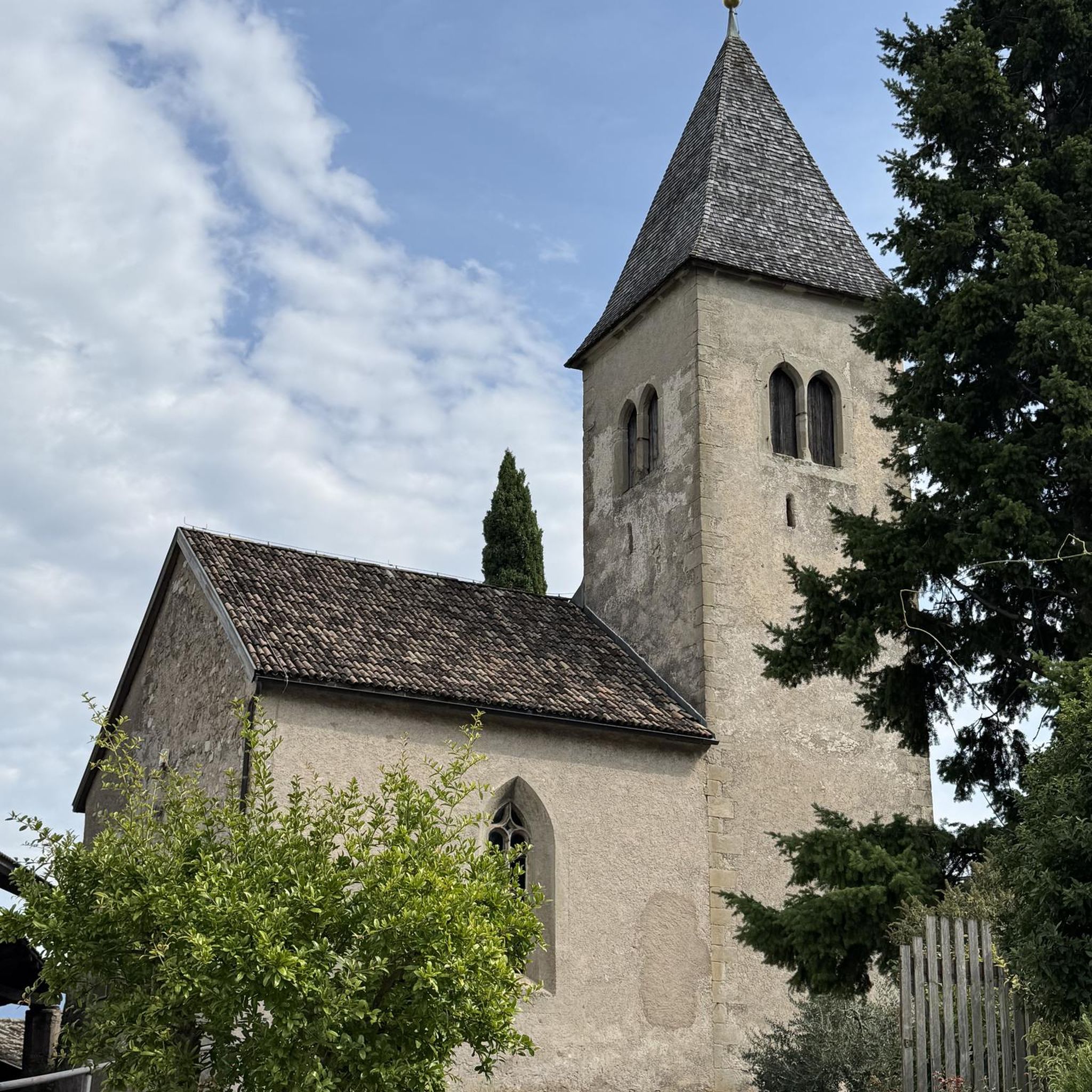
Small village in a beautiful setting, with a central square, a small shop and a huge church.
13
0

The road between Cardenete and Enguídanos, in the Serranía Baja region of Cuenca, is one of the most beautiful stretches in this area. Although not officially designated as a "scenic road," the route is featured on hiking and cycling itineraries that highlight its stunning landscapes, rivers, gorges, mountains, and natural monuments.
3
0
Frequently Asked Questions
What types of terrain can I expect when road cycling around Embalse de Contreras?
The region offers a diverse mix of terrain, including rolling hills, scenic valleys, and vineyards. You'll encounter dramatic gorges within the Hoces del Cabriel Natural Park and impressive limestone formations like the Cuchillos de Contreras, providing varied landscapes for your ride.
Are there road cycling routes suitable for different fitness levels?
Yes, Embalse de Contreras caters to various abilities. You can find routes ranging from moderate loops to more challenging, long-distance rides with significant elevation gains. For instance, the Contreras Viewpoint – Villargordo del Cabriel loop from Caravaning is a moderate option, while the El Negrete Pass loop from Villargordo del Cabriel offers a more demanding experience.
What are some of the key natural attractions visible from the road cycling routes?
Many routes offer stunning views of the Embalse de Contreras's clear, blue waters, the dramatic gorges of the Cabriel River, and the unique Cuchillos de Contreras limestone formations. Specific viewpoints, such as the Contreras Viewpoint, provide panoramic vistas of the Cabriel Valley.
Are there circular road cycling routes available?
Yes, many of the road cycling routes around Embalse de Contreras are designed as loops, allowing you to start and end at the same point. Examples include the View of Camporrobles – Villargordo del Cabriel loop from Kiko Park Rural and the Hoces del Cabriel and Contreras Reservoir Loop.
When is the best season to go road cycling in Embalse de Contreras?
The region is generally pleasant for cycling during spring and autumn, when temperatures are milder. Summer can be quite warm, especially in the middle of the day, while winter might bring cooler temperatures, though many days remain suitable for riding.
What do other road cyclists appreciate about the routes in Embalse de Contreras?
The area is highly rated by the komoot community, with an average score of 5.0 stars. Cyclists often praise the scenic routes that traverse picturesque landscapes, the quiet secondary roads, and the well-paved surfaces that ensure a smooth riding experience.
Are there opportunities for combining road cycling with other outdoor activities?
Absolutely. Beyond cycling, the region offers a variety of outdoor activities. You can explore numerous hiking trails, enjoy water sports like kayaking or rafting on the Cabriel River, or simply take time for wildlife observation in the natural park.
How long do road cycling routes typically take to complete?
Route durations vary significantly based on distance and difficulty. Shorter, moderate loops like the Contreras Viewpoint – Villargordo del Cabriel loop from Caravaning can be completed in under two hours, while longer, more challenging routes such as the El Negrete Pass loop from Villargordo del Cabriel might take over six hours.
Where can I find parking for road cycling routes in the area?
While specific parking areas aren't detailed for every route, common starting points for tours, such as those near Villargordo del Cabriel or other local villages, typically offer parking facilities. It's advisable to check the starting point of your chosen route for specific parking information.
What makes the Hoces del Cabriel Natural Park special for road cyclists?
The Hoces del Cabriel Natural Park, which borders the reservoir, is characterized by dramatic gorges and vertical stone ridges carved by the Cabriel River. Cycling through this area offers breathtaking views of these unique geological formations and the crystal-clear river, providing a truly immersive natural experience. You can learn more about the park at Visit Valencia.
Are there any particularly challenging road cycling routes for experienced riders?
Yes, experienced riders will find several challenging options. Routes like the El Negrete Pass loop from Villargordo del Cabriel, covering over 78 miles with significant elevation gain, or the Hoces del Cabriel and Contreras Reservoir Loop, offer substantial tests of endurance and climbing ability.
How many road cycling routes are available in the Embalse de Contreras area?
There are 15 road cycling routes available in the Embalse de Contreras area, offering a variety of distances and difficulty levels to explore.
Most popular routes around Embalse de Contreras
Most popular attractions around Embalse de Contreras

Get inspired with the komoot mobile app


Explore more
Browse the best Road cycling routes in other regions.
