The best walks and hikes around Embalse de Arlanzón
4.7
(33)
331
hikers
34
hikes
Hiking around Embalse de Arlanzón offers diverse natural features and picturesque landscapes. The region is characterized by the prominent reservoir, providing expansive water views, and is surrounded by extensive woods and riverside forests. The terrain includes varied environments, from gentle riverbanks along the Arlanzón River to mountainous backdrops, particularly towards the Sierra de la Demanda.
Best hiking trails around Embalse de Arlanzón
- The most popular hiking route is Pineda de la Sierra – San Millán (2,131 m) loop from Pineda…
Last updated: June 28, 2026
7
hikers
Hard hike. Very good fitness required. Easily-accessible paths. Suitable for all skill levels.
5.0
(1)
28
hikers
18.7km
06:12
910m
910m
Hard hike. Very good fitness required. Easily-accessible paths. Suitable for all skill levels.

Sign up for free
3.0
(1)
27
hikers
10.8km
04:08
730m
730m
Moderate hike. Good fitness required. Easily-accessible paths. Suitable for all skill levels.
20
hikers
28.2km
09:38
1,280m
1,280m
Hard hike. Very good fitness required. Mostly accessible paths. Sure-footedness required.
5.0
(2)
21
hikers
10.1km
03:58
730m
730m
Moderate hike. Good fitness required. Easily-accessible paths. Suitable for all skill levels.
Get access to more routes and recommendations from other explorers.
Sign up for free
Already have an account?
Our route recommendations are based on thousands of hikes, rides, and runs completed by other people on komoot.
Start today with a free account
Your next adventure awaits.
Login or Signup
Tips from the Community

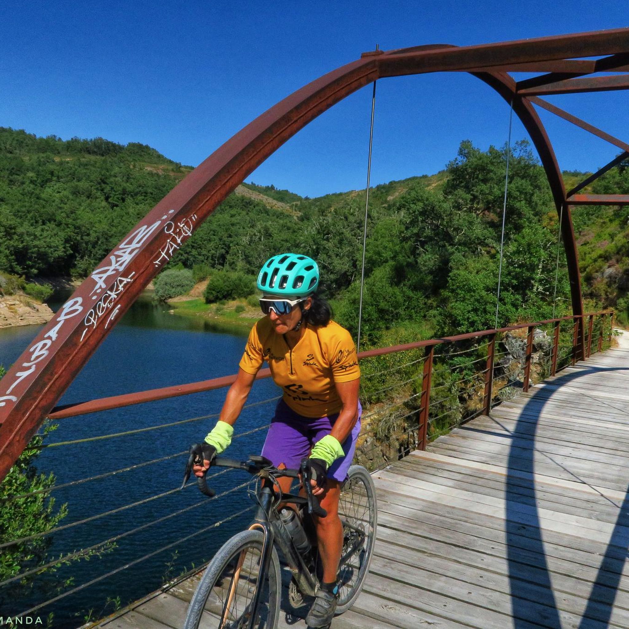
Spectacular area for hiking routes
0
0
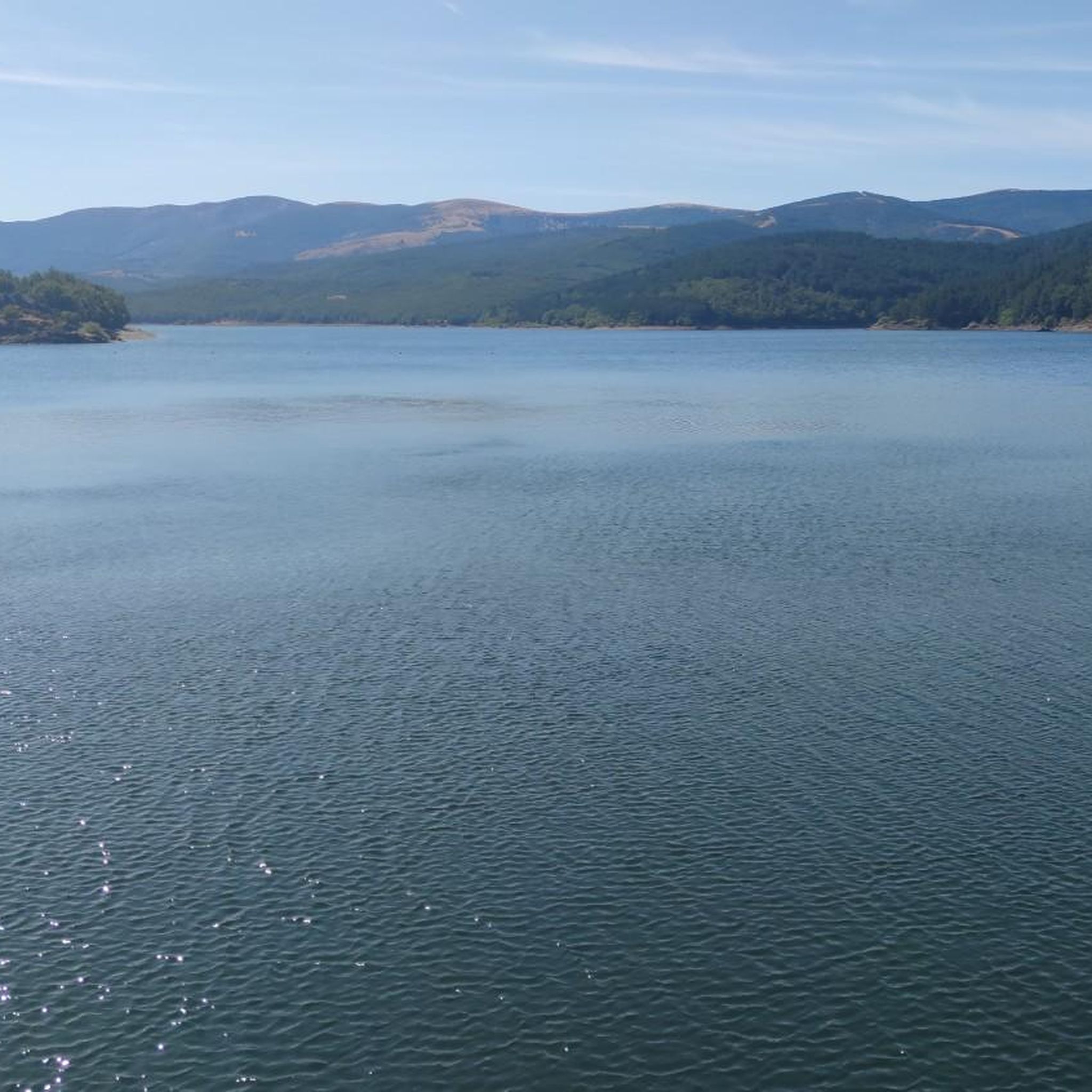
Spectacular area for hiking routes
0
1
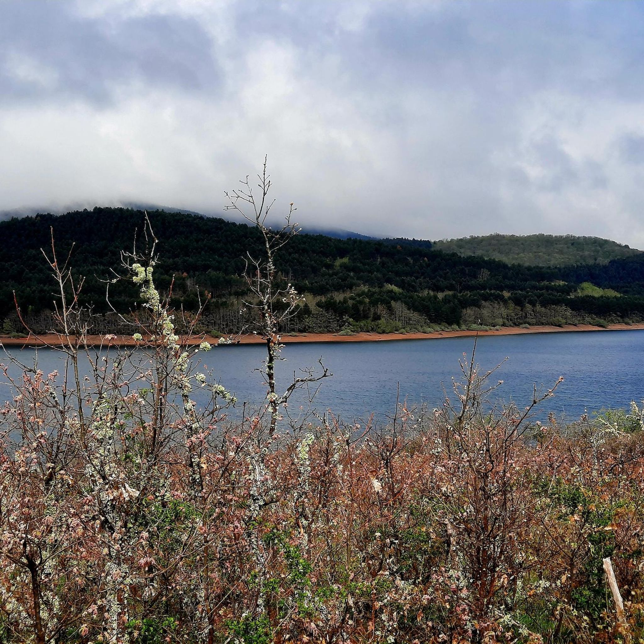
Spectacular area for hiking routes
0
0

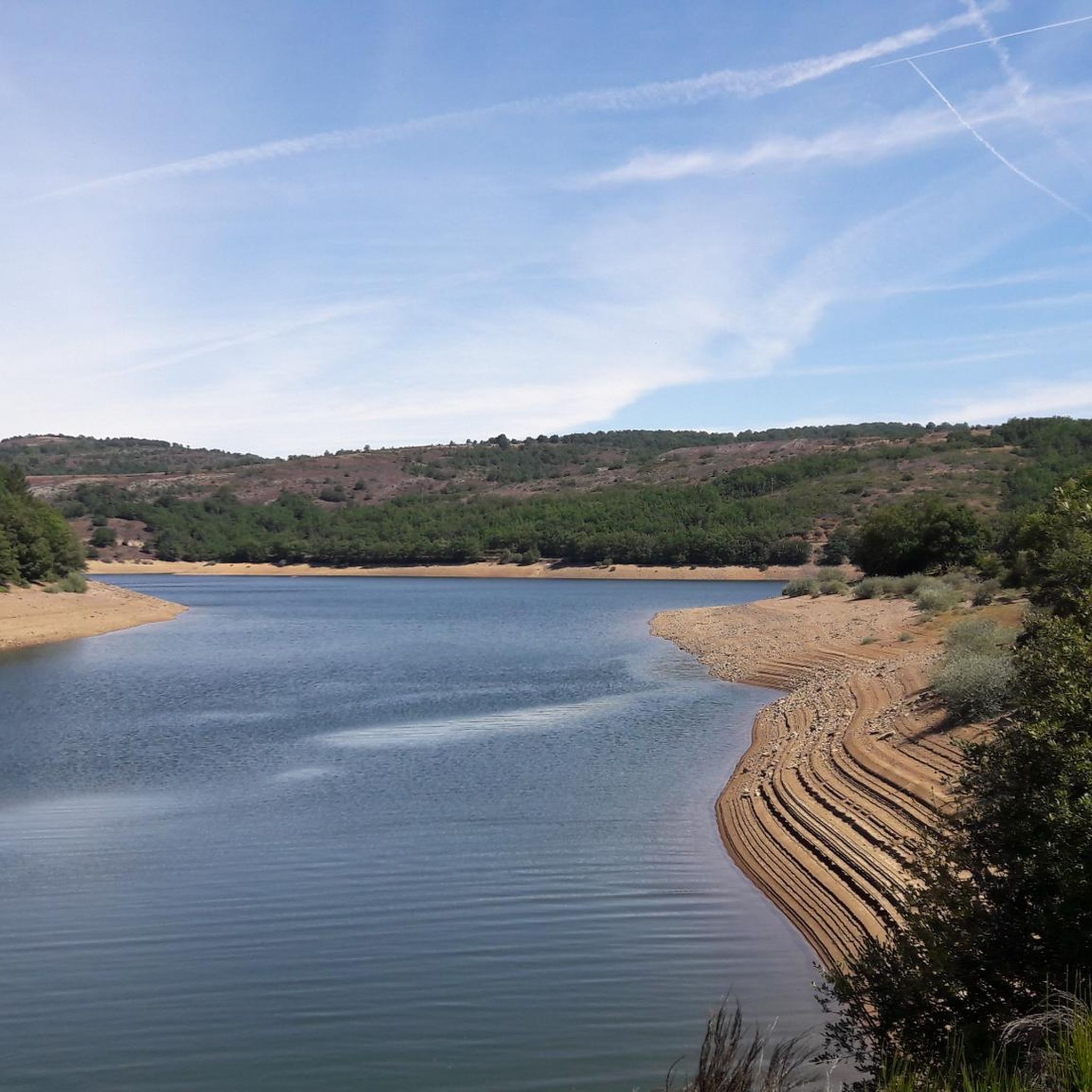
In the southwest of the town of Pineda de la Sierra. Impressive walls.
1
1
Part of this section coincides with the Sierra de la Demanda Green Route.
1
1
Fragment of the famous greenway of the Sierra de la Demanda.
1
1
Frequently Asked Questions
How many hiking trails are available around Embalse de Arlanzón?
There are over 25 hiking trails to explore around Embalse de Arlanzón, offering a variety of experiences for different skill levels. You'll find everything from easy strolls to challenging mountain ascents.
What kind of terrain can I expect on hikes in Embalse de Arlanzón?
The terrain around Embalse de Arlanzón is quite diverse. You can expect picturesque reservoir views, extensive woodlands, and serene riverside paths along the Arlanzón River. Some routes also feature mountainous backdrops, particularly towards the Sierra de la Demanda, offering varied environments for your hike.
Are there any easy hiking trails suitable for beginners or families?
Yes, there are several easy trails perfect for beginners or families. For instance, the Pineda de la Sierra – Pineda de la Sierra loop from Pineda de la Sierra is a moderate 8.8 km route with manageable elevation, offering a pleasant experience through the local landscape. The Sierra de la Demanda Greenway, which runs beside the reservoir, also provides accessible sections suitable for a relaxed walk.
What natural features or landmarks can I see while hiking?
While hiking, you'll be treated to beautiful views over the Arlanzón reservoir itself, which is a prominent feature. You can also explore sections of the Sierra de la Demanda Greenway, an old mining train route now used for hiking and cycling, winding through wooded areas. The GR 82 path also traces the reservoir, offering continuous views of the marsh along the riverbank.
Are there specific viewpoints to enjoy the reservoir?
Absolutely. Many trails offer stunning vistas of the Embalse de Arlanzón. A notable highlight is the Beautiful views over the Arlanzón reservoir, which is a designated viewpoint. The GR 82 path, which encircles the reservoir, ensures you'll have continuous views of the water and surrounding landscapes.
Are there any circular hiking routes in the area?
Yes, many of the trails around Embalse de Arlanzón are designed as loops, allowing you to start and end in the same location. An example is the Campo de los Corros – Pico Mencilla loop from Pineda de la Sierra, a moderate 10.8 km path that traverses varied terrain including forest sections and open areas.
What is the best time of year to hike around Embalse de Arlanzón?
The Embalse de Arlanzón area is beautiful year-round, but spring and autumn generally offer the most pleasant hiking conditions with mild temperatures and vibrant natural colors. Summer can be warm, making early morning or late afternoon hikes ideal, while winter offers a serene, often snowy, landscape for those prepared for colder weather.
Are dogs allowed on the hiking trails?
While specific regulations can vary, generally, dogs are welcome on most hiking trails in natural areas like Embalse de Arlanzón, provided they are kept under control, especially around wildlife or other hikers. It's always a good idea to keep them on a leash and clean up after them to preserve the natural environment.
Is there parking available for hikers?
Yes, parking is generally available at common starting points for trails, particularly in and around towns like Pineda de la Sierra, which serves as a popular base for many routes. Look for designated parking areas near trailheads or in village centers.
What do other hikers say about the trails in Embalse de Arlanzón?
The trails in Embalse de Arlanzón are highly rated by the komoot community, with an average score of 4.6 stars from over 20 reviews. Hikers often praise the diverse natural features, the tranquil reservoir views, and the well-maintained paths that cater to various ability levels.
What is the most challenging hike in Embalse de Arlanzón?
For those seeking a challenge, the San Millán (2,131 m) – Pineda de la Sierra loop from Pineda de la Sierra is a demanding 27.4 km trail. It leads through mountainous landscapes with significant elevation gain, typically requiring about 9 hours and 23 minutes to complete.
Can I reach the hiking trails by public transport?
Public transport options to the immediate vicinity of Embalse de Arlanzón and its trailheads might be limited. It's advisable to check local bus schedules to nearby towns like Pineda de la Sierra, but having a car often provides the most flexibility for accessing various starting points around the reservoir.
Most popular routes around Embalse de Arlanzón
Most popular attractions around Embalse de Arlanzón

Get inspired with the komoot mobile app


Explore more
Browse the best Hikes in other regions.
