The best running trails around Moodoge
5.0
(2)
378
runners
19
runs
Jogging around Moodoge offers a diverse landscape for runners, characterized by its varied terrain and natural features. The region features a mix of forests, open paths, and routes alongside waterways. Elevation changes are present, ranging from relatively flat sections to moderate climbs, providing different levels of challenge for runners.
Best jogging routes around Moodoge
- The most popular jogging route is Clare Glen from Tandragee, a 6.5 miles (10.5 km) trail that takes 1 hour 7 minutes to complete. This…
Last updated: July 2, 2026
1
runners
10.5km
01:07
120m
120m
Moderate run. Good fitness required. Mostly paved surfaces. Suitable for all skill levels.
25
runners
17.9km
01:50
20m
20m
Hard run. Very good fitness required. Mostly paved surfaces. Suitable for all skill levels.

Sign up for free
20
runners
16.8km
01:43
30m
30m
Hard run. Very good fitness required. Mostly paved surfaces. Suitable for all skill levels.
17
runners
9.39km
00:58
10m
10m
Moderate run. Good fitness required. Mostly paved surfaces. Suitable for all skill levels.
5
runners
9.16km
00:58
100m
100m
Moderate run. Good fitness required. Mostly paved surfaces. Suitable for all skill levels.
Get access to more routes and recommendations from other explorers.
Sign up for free
Already have an account?
Our route recommendations are based on thousands of hikes, rides, and runs completed by other people on komoot.
Start today with a free account
Your next adventure awaits.
Login or Signup
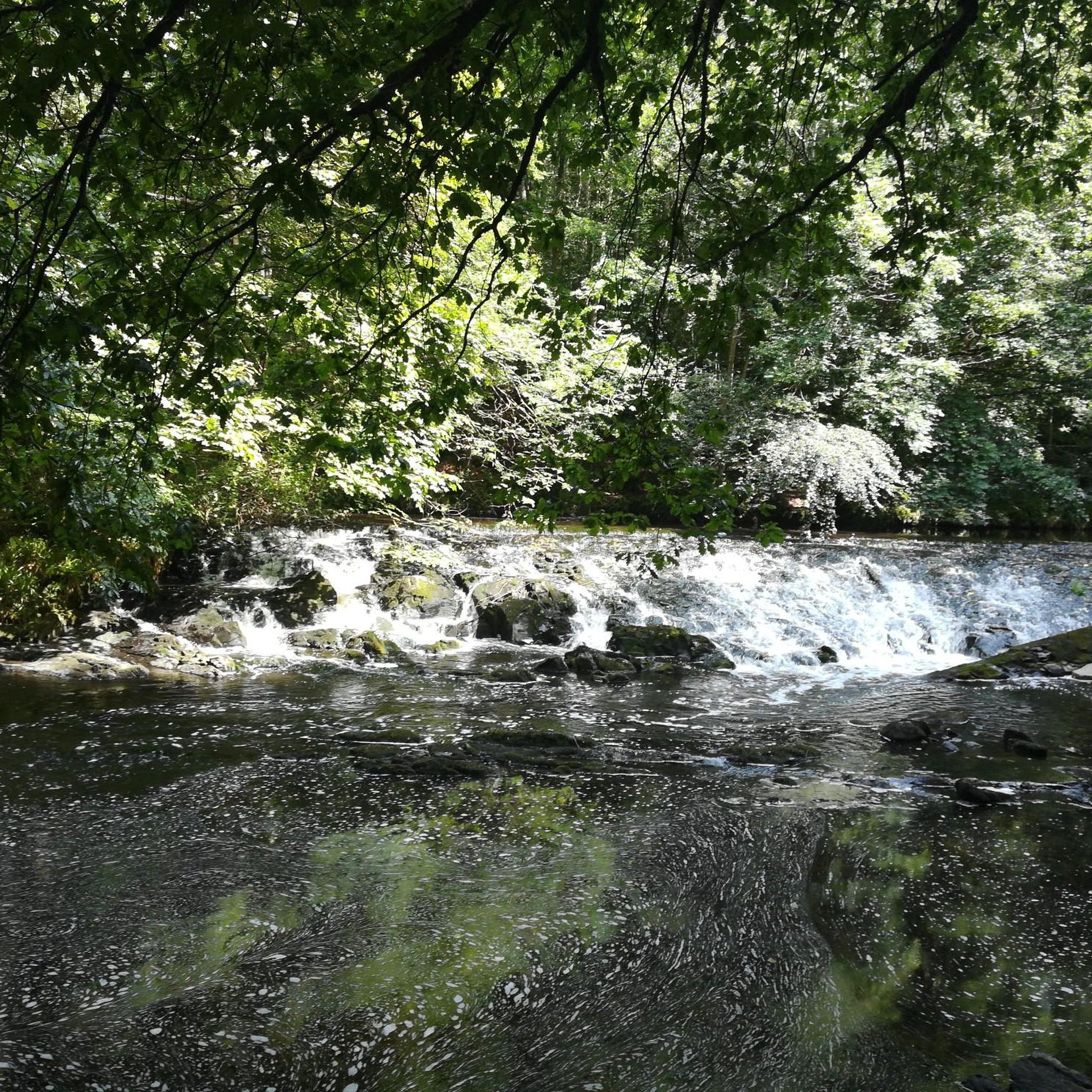
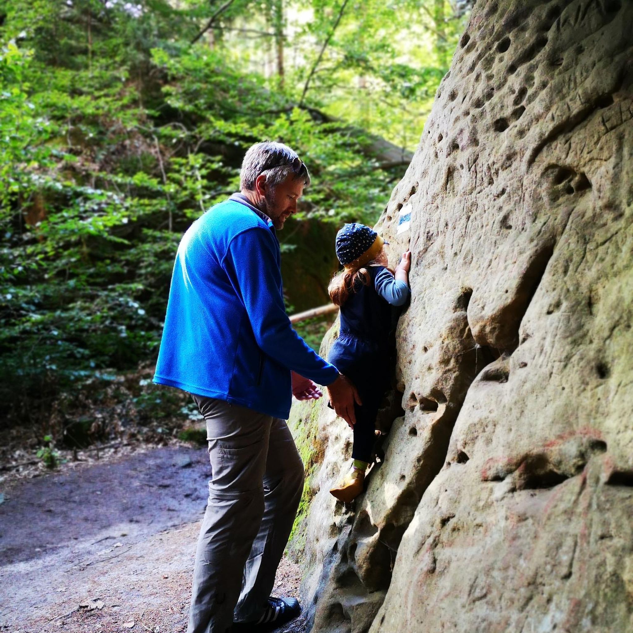
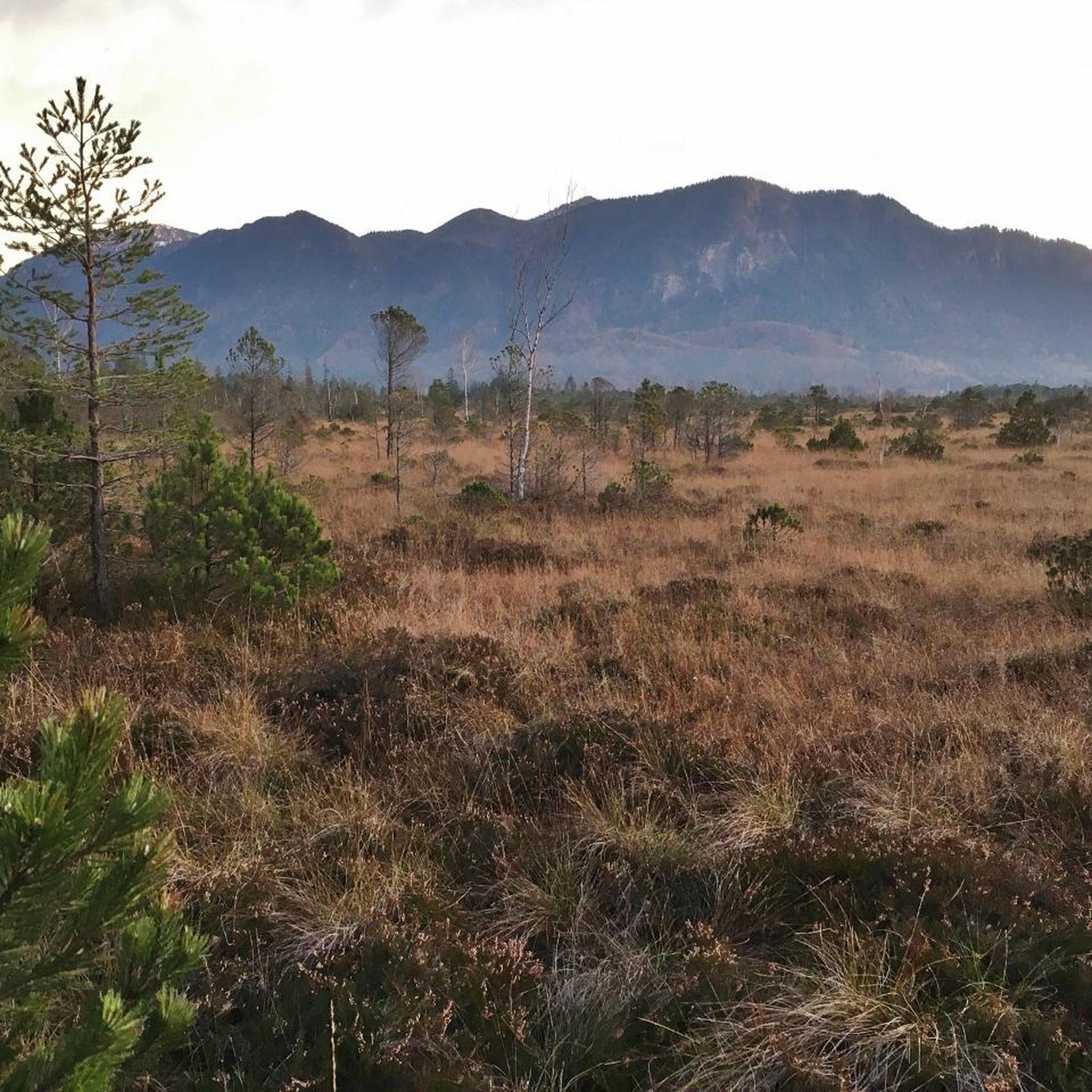

Tips from the Community

This largely flat and completely traffic-free path winds through the heart of counties Armagh and Down, along the tranquil waterway that once formed the lifeline for transporting coal to the Irish Sea. As you pedal over the well-maintained asphalt or fine gravel, you'll be surrounded by lush green embankments, historic stone bridges, and the monumental remains of eighteen locks that bridge the elevation difference in the landscape. A mix of smooth asphalt and easily rideable fine gravel, suitable for almost all types of bicycles.
7
0
The Newry Canal Towpath is a 32-kilometer-long, almost entirely traffic-free green corridor connecting the towns of Portadown and Newry. It follows the towpath of the oldest canal in the British Isles, opened in 1742 to transport coal from County Tyrone to the sea. The Newry Canal Towpath offers an unparalleled cycling experience through the tranquil heart of County Armagh and County Down. This historic route, part of the National Cycle Network Route 9, takes you along a flat and largely asphalted path past fourteen monumental locks and characteristic lock-keeper's cottages. As you follow the waterway, you'll traverse a varied landscape of dense forests and open meadows, passing through welcoming villages like Scarva and Poyntzpass along the way. The path is a haven for wildlife; keep an eye out for kingfishers, swans, and otters that inhabit the reed beds. Whether you cycle the full 32 kilometers or explore just a section, the combination of industrial history and natural beauty makes this one of the absolute gems of Irish cycling routes.
5
0

Hollie Berrie is a good place for refreshments on the route at Scarva
0
1

The Newry Canal Path offers exactly what many cyclists want on a tour: a relaxed route that runs through green landscapes and is shielded from any city traffic for almost 25 km. The path is smooth and well maintained throughout, which makes it ideal for longer stretches without a break - you can really rack up the miles here and enjoy the peace and quiet of nature at the same time. A highlight is that the canal path is not only easy to ride, but also allows some charming glimpses of the surrounding area. The trees form a green roof over the path in places, and the silence is only occasionally interrupted by the rippling of the water or a passing bird. Here you have the feeling that with every meter you get further away from the noise of the city and instead find a little more nature. A good alternative for commuters and recreational cyclists alike to get to your destination stress-free or just switch off and let yourself drift.
2
0
The small town of Scarva, nestled between green meadows and the quiet canal, offers a welcome break on my bike tour through Northern Ireland. Here you cycle on well-maintained paths past historic bridges and small villages that give you the feeling that time has stood still. The British flags fluttering along the side of the road remind you that you are in a culturally special area - a detail that reflects the identity of the region. The route is easy to cycle, the surrounding landscape is gently rolling, which makes for pleasant cycling. The view of wide fields and rolling hills invites you to slow down now and then and take in the peace and quiet. A special feature of Scarva is the annual Orange Order March, which transforms the village into a kind of open-air stage once a year and keeps the traditions of this region alive.
1
0
On the cycle path between Newry and Portadown, the gentle idyll of Northern Ireland unfolds in all its splendor. The route winds its way past lush green meadows where cows graze peacefully, through a wonderfully quiet landscape. The gentle rise and fall of the fields, the vastness of the sky and the gentle rustling of the wind create a unique atmosphere of relaxation. Here you can let your gaze wander into the distance while the path runs picturesquely between fields and hedges. A perfect place to let your bike roll and unwind.
1
0
On the picturesque banks of the Newry Canal, not far from Portadown, lies a historical gem: Moneypenny's Lock. This lock house, whose history goes back to the beginning of the 19th century, has stood the test of time and today offers visitors a special insight into the past. When you enter the canal museum you feel like you have been transported to another era. The walls bear witness to the days when the lock house was still in full operation and run by the Money family. The constant rippling of the water, the passage through the lock chambers and the hustle and bustle of yesteryear are almost tangible. The exhibition tells the story of Moneypenny's Lock from its early days to the mid-20th century. Through lovingly compiled exhibits and information material, you get a feel for the importance of this place and the people who worked and lived here.
2
0
In the heart of Clare Glen, where the forests are thickest and the Cusher River flows gently through the landscape, hikers will encounter two special examples of craftsmanship: the stone bridges of Clare Glen. The first, a delicate miniature bridge, seems to have been made for elves and fairies, so delicate and yet robust as it sits there in the middle of the green thicket. A few steps further rises its big sister, a stately stone bridge of impressive normal size. Both bridges are made of solid stone and bear witness to the masterful architecture of bygone times. As you walk over them, you can hear the gentle rippling of water making its way under the arches. The cool forest that surrounds the bridges offers protection from the midday sun and envelops the hiker in quiet greenery. The chirping of the birds, the rustling of the leaves and the quiet murmur of the water create an atmosphere of peace and contemplation.
2
0
Frequently Asked Questions
How many running routes are available in the Moodoge area?
Moodoge offers a variety of running experiences with over 19 routes to explore. These range from easy paths to more challenging trails, catering to different fitness levels.
What kind of terrain can I expect on jogging routes around Moodoge?
The terrain in Moodoge is quite diverse, featuring a mix of forest paths, open sections, and routes alongside waterways. You'll encounter everything from relatively flat canal towpaths to moderate climbs through woodlands. The Clare Glen from Tandragee route, for instance, offers a mix of woodland paths and open sections.
Are there any easy or beginner-friendly jogging trails in Moodoge?
Yes, Moodoge has routes suitable for beginners. While many routes are moderate, there are options with less elevation gain. For example, the Running loop from Cusher Meadow Allotments is a moderate route with minimal elevation change, making it a good choice for those starting out or looking for a gentler run.
Can I find circular running routes in Moodoge?
Absolutely. Many of the jogging routes in Moodoge are designed as loops, allowing you to start and finish in the same location. The Scarva Village loop from Scarva is a popular circular option that explores the village surroundings.
What are some scenic highlights or natural features to look out for while jogging in Moodoge?
Moodoge is rich in natural beauty. The region is known for its diverse ecosystems, including ancient longleaf pines and tupelo cypress trees. You might spot wildlife like gopher tortoises or red-cockaded woodpeckers. The Newry Canal Path – Newry Canal Towpath loop from Scarva offers picturesque canal-side views. Additionally, you can explore the Cusher River and the Clare Glen Stone Bridges for beautiful natural scenery.
Are there any historical or cultural landmarks near the jogging routes?
Yes, Moodoge offers a blend of natural and historical points of interest. You can jog past the historic Newry Canal Towpath, or explore Scarva Village. For a glimpse into the past, Gosford Castle is also a notable landmark in the vicinity.
What do other runners say about jogging in Moodoge?
The running routes in Moodoge are highly regarded by the komoot community, boasting an average rating of 5.0 stars from over 2 reviews. Runners often praise the varied terrain and the peaceful, natural settings that make for an enjoyable outdoor experience.
What is the best season for jogging in Moodoge?
The Moody Forest Natural Area, which influences the region, offers trails that are generally accessible year-round. However, spring and autumn provide particularly pleasant conditions with milder temperatures and vibrant foliage. During periods of high water, some bottomland trails, like those along the Altamaha River, might be muddy, so checking local conditions is advisable.
Are there any routes with significant elevation changes for a more challenging run?
For those seeking a more challenging workout, Moodoge does offer routes with notable elevation changes. The Downhill – Tandragee Hill Climb loop from Tandragee is a moderate route that includes a significant hill climb, providing a good test of endurance.
Are the jogging routes in Moodoge suitable for families?
Many of the routes in Moodoge, especially those with gentler terrain and shorter distances, can be suitable for families. The diverse landscapes and opportunities for wildlife viewing, as described in the region's natural features, can make for an engaging outing for all ages. Consider routes with less challenging difficulty grades for family runs.
Is there public transport access to the jogging trails in Moodoge?
While specific public transport details for each trailhead are not provided, many routes originate from or pass through villages like Scarva and Tandragee, which may have local bus services. It's recommended to check local transport schedules for connections to these starting points.
Where can I find parking for jogging trails in Moodoge?
Parking availability will vary by trailhead. Routes starting from villages or established natural areas typically have designated parking facilities. For example, routes like the Scarva Village loop from Scarva would likely have parking options within or near the village.
Most popular routes around Moodoge
Most popular attractions around Moodoge

Get inspired with the komoot mobile app


Explore more
Browse the best Running Trails & Routes in other regions.
