The best running trails around Embalse del Argós
4.9
(10)
230
runners
18
runs
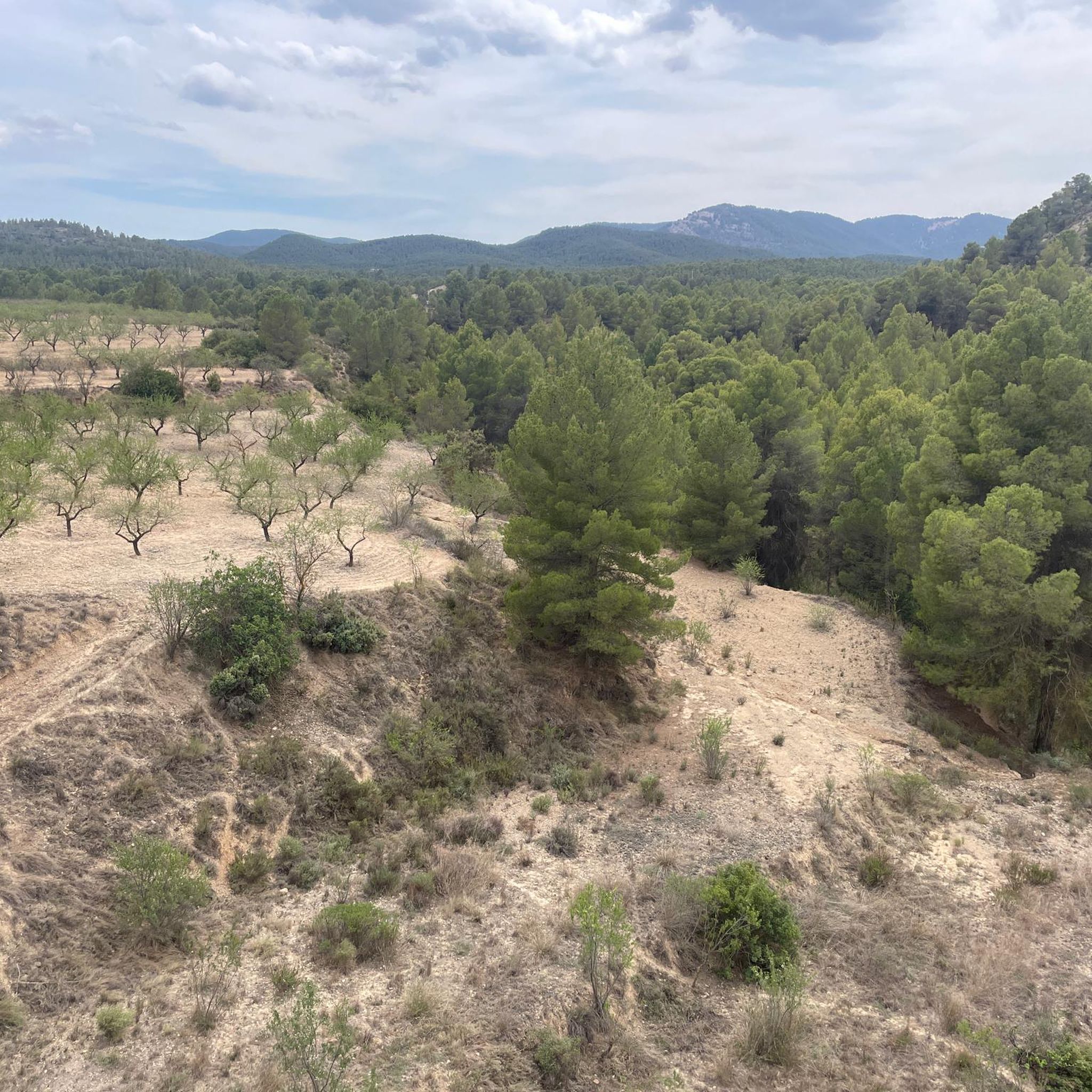
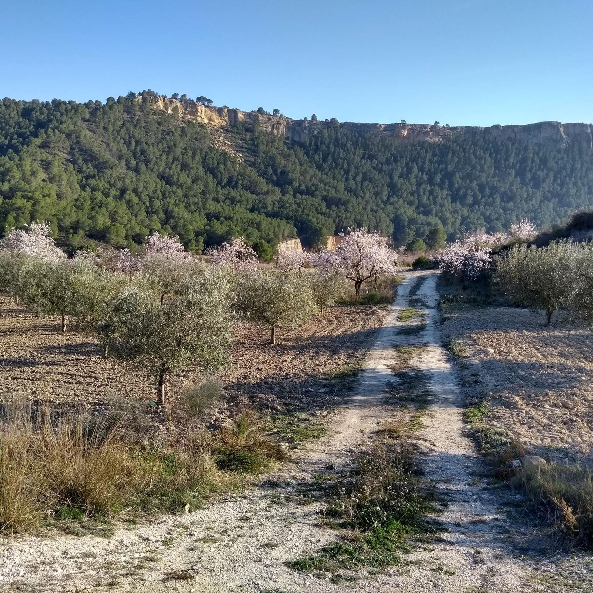
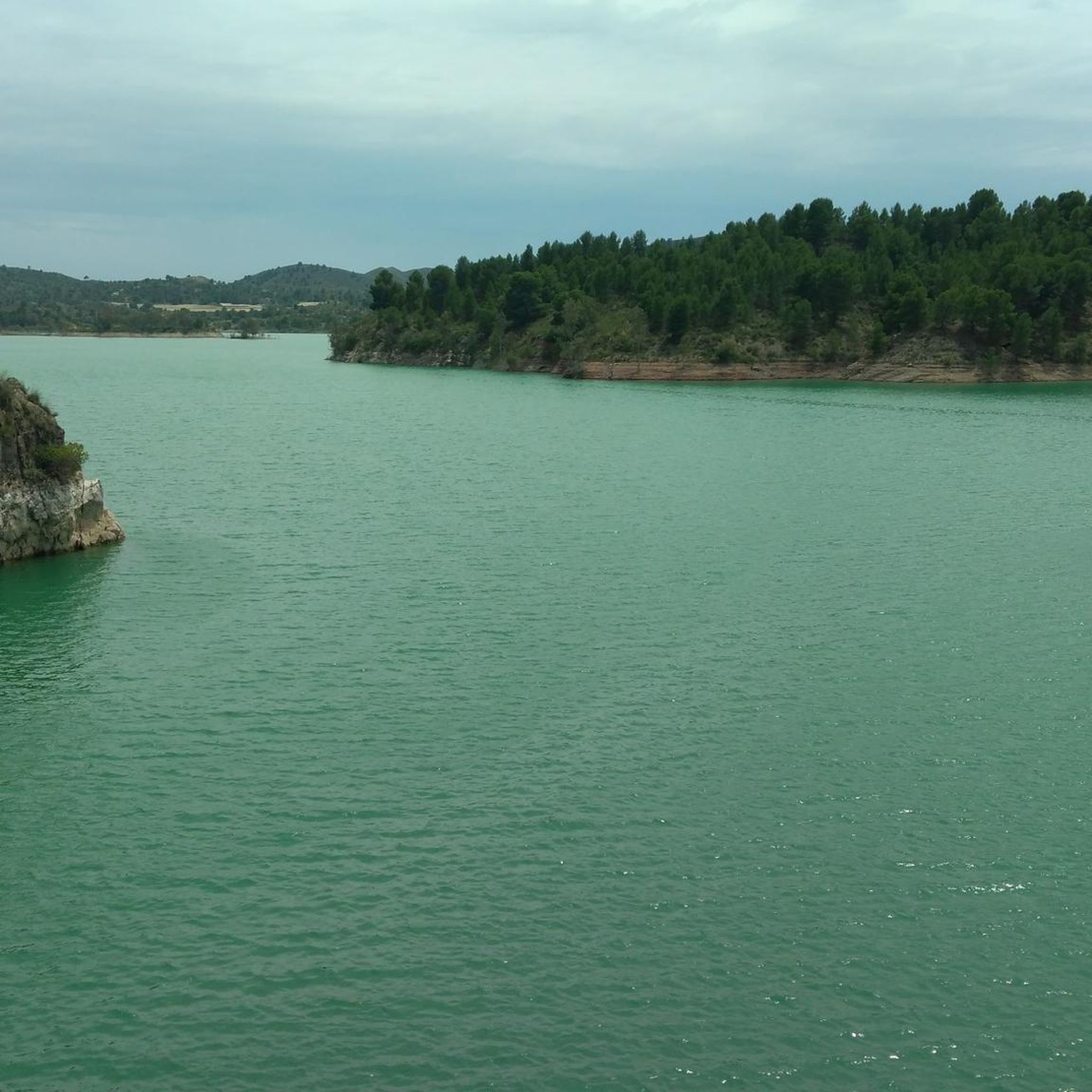
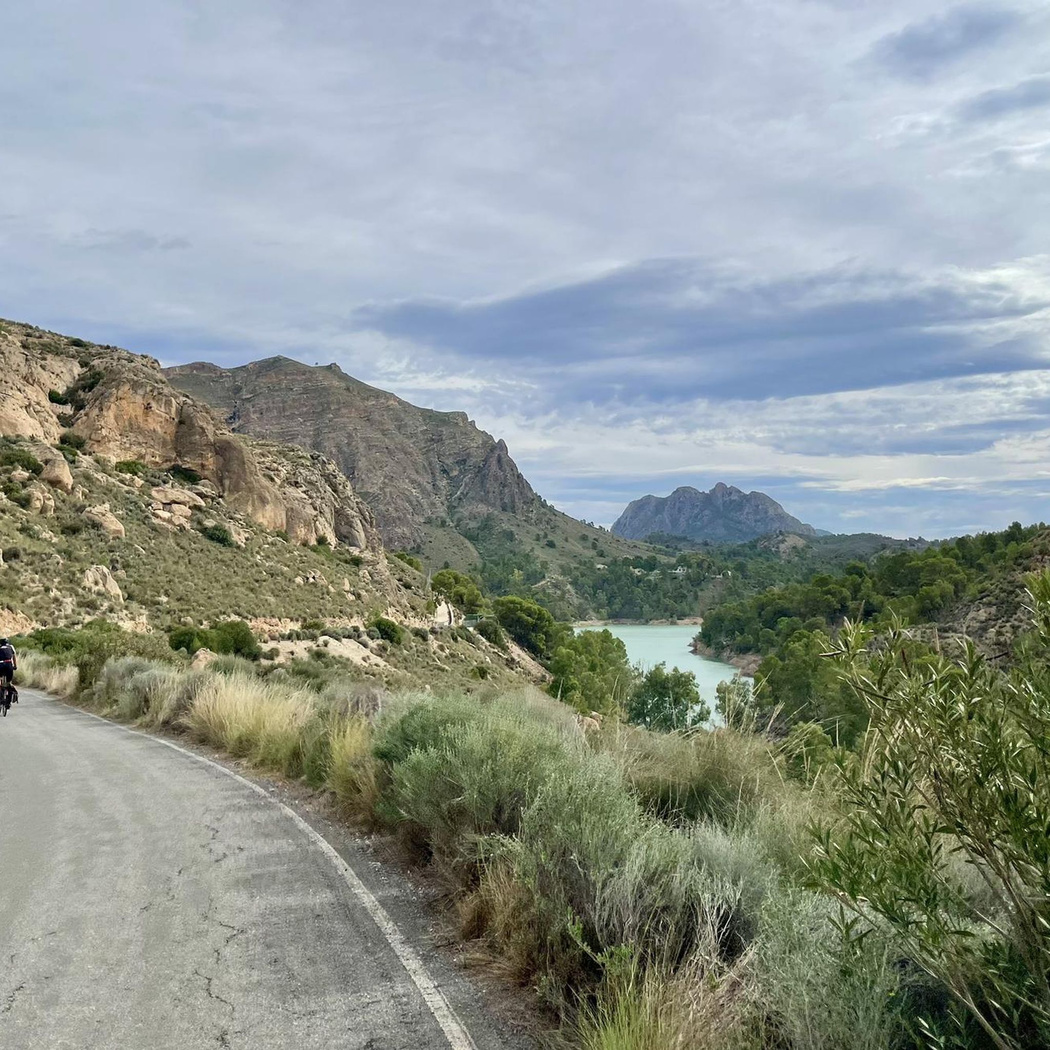
Jogging routes around Embalse del Argós are set within the Noroeste region of Murcia, Spain, offering diverse landscapes for outdoor activities. The area is characterized by the reservoir itself, fed by the Argos River, and is nestled between the Sierra de la Puerta and the Cabezo de Juan González, providing scenic mountainous backdrops. The local environment features Carrasco pines, tamarisks, poplars, and willows, creating a rich natural setting for running. Many trails consist of easily-accessible paths, suitable for various fitness…
Last updated: June 29, 2026
10
runners
12.2km
01:24
140m
140m
Moderate run. Good fitness required. Mostly paved surfaces. Suitable for all skill levels.
7
runners
19.8km
02:10
450m
450m
Hard run. Very good fitness required. Mostly paved surfaces. Suitable for all skill levels.

Sign up for free
4
runners
16.3km
01:45
280m
280m
Hard run. Very good fitness required. Mostly paved surfaces. Suitable for all skill levels.
5
runners
10.5km
01:07
140m
140m
Moderate run. Good fitness required. Mostly paved surfaces. Suitable for all skill levels.
3
runners
11.5km
01:17
250m
250m
Moderate run. Good fitness required. Mostly paved surfaces. Suitable for all skill levels.
Get access to more routes and recommendations from other explorers.
Sign up for free
Already have an account?
Our route recommendations are based on thousands of hikes, rides, and runs completed by other people on komoot.
Start today with a free account
Your next adventure awaits.
Login or Signup

Tips from the Community

Calasparra is a large Murcian town, as it has more than 10,000 inhabitants. It is located in a kind of depression in the terrain of the Northwest region. It is for this reason that several rivers join here, such as the Segura and the Argos, which facilitate the cultivation of rice. In fact, the bomba rice from Calasparra is one of the three, together with the one from the Ebro delta and the one from Valencia, that has a protected designation of origin.
1
0

Nice views from the viewpoint to the Segura river and the rice fields. Access is paved to the viewpoint. Without a doubt, it is worth visiting if we are in the area.
1
0
Frequently Asked Questions
How many running routes are available around Embalse del Argós?
There are over 10 distinct running routes documented around Embalse del Argós, offering a variety of experiences for different fitness levels. The komoot community has explored these trails over 180 times, giving them an average rating of 4.9 stars.
What are the typical difficulty levels for running trails in this area?
The running trails around Embalse del Argós cater to a range of abilities. You'll find a good mix, with most routes being classified as moderate. There are also easier options for a more relaxed run, and some more difficult trails for those seeking a greater challenge.
What kind of terrain can I expect on the running paths around Embalse del Argós?
The terrain is quite varied, featuring easily-accessible paths suitable for running. You'll encounter trails winding through diverse Mediterranean flora, including Carrasco pines, tamarisks, poplars, and willows. Many routes offer reservoir views and follow gentle river paths, providing a scenic and engaging running experience.
Are there any challenging running routes with significant elevation gain?
Yes, for runners looking for a greater challenge, there are routes with more substantial elevation gain. For example, the Cehegín – Paraíso Aqueduct loop from Cehegín is a difficult route covering over 40 km with nearly 1,500 meters of ascent, offering a demanding workout.
What natural features or landmarks can I see while running in the region?
The area is rich in natural beauty and points of interest. You can enjoy stunning reservoir views, the scenic Argos River, and mountainous backdrops from the Sierra de la Puerta and Cabezo de Juan González. The region is also part of a Special Protection Area for Birds, so you might spot various aquatic bird species. A notable landmark is the Santuario de Nuestra Señora de la Esperanza, much of which is housed within a natural cave carved by the Segura River.
When is the best time of year to go running around Embalse del Argós?
The Embalse del Argós region, located in Murcia, Spain, generally offers pleasant conditions for outdoor activities for much of the year. Spring and autumn typically provide milder temperatures, making them ideal for running. Summers can be hot, so early mornings or late evenings are preferable during those months. Winters are generally mild, allowing for running year-round, though some days might be cooler.
Are there any circular running routes available?
Yes, many of the running routes around Embalse del Argós are designed as loops, allowing you to start and finish in the same location. For instance, the Palacio de los Fajardo loop from Cehegín is a popular circular trail that takes about 45 minutes to complete.
What do other runners enjoy most about jogging in Embalse del Argós?
The area is highly rated by the komoot community, with an average score of 4.9 stars from 10 reviews. Reviewers often praise the diverse landscapes, the scenic reservoir views, and the variety of accessible paths that cater to different fitness levels. The natural setting with its Mediterranean flora is also frequently highlighted as a key enjoyable aspect.
Are there any longer running routes for endurance training?
Absolutely. For those looking to cover more distance, routes like the Duck Lake – Calasparra loop from Calasparra offers a challenging 16.2 km run. Even longer, the Cehegín – Paraíso Aqueduct loop from Cehegín extends to over 40 km, perfect for long-distance training.
Can I find running routes that follow converted railway lines?
Yes, the region offers unique running experiences, including routes that utilize converted railway lines. The Cehegín – Vía Verde del Noroeste loop from Cehegín is a moderate 14.6 km path that follows such a line, providing a relatively flat and scenic running experience.
Are there running paths suitable for beginners or those looking for an easier run?
Yes, the area includes easier routes perfect for beginners or those seeking a less strenuous run. While most routes are moderate, there are options with gentle inclines and manageable distances, ensuring an enjoyable experience for all fitness levels. These paths often consist of easily-accessible surfaces.
What kind of wildlife might I encounter on the running trails?
As the Embalse del Argós is part of a Special Protection Area for Birds (ZEPA), you might spot various aquatic and subaquatic bird species such as cattle egrets, night herons, little egrets, and grey herons. The diverse flora also supports other local wildlife, making for an engaging natural environment during your run.
Most popular routes around Embalse del Argós

Get inspired with the komoot mobile app


Explore more
Browse the best Running Trails & Routes in other regions.
