The best road cycling routes around Bletsoe
4.5
(271)
6,179
riders
187
rides
Road cycling routes around Bletsoe traverse a varied countryside characterized by extensive arable land, grazing areas, and woodlands. The terrain features gently undulating landscapes and quiet country lanes, providing suitable conditions for road cyclists. The highest point in the area reaches 290 feet (88 meters) above sea level, contributing to the varied topography. The region also includes scenic riverside environments along the Great Ouse and several nature reserves.
Best road cycling routes around Bletsoe
- The most popular road cycling route…
Last updated: October 13, 2026
38
riders
54.4km
02:20
360m
360m
Moderate road ride. Good fitness required. Mostly well-paved surfaces and easy to ride.
23
riders
Moderate road ride. Good fitness required. Some segments of this route may be unpaved and difficult to ride.

4.0
(1)
23
riders
26.8km
01:06
110m
110m
Easy road ride. Great for any fitness level. Mostly well-paved surfaces and easy to ride.
19
riders
39.4km
01:36
160m
160m
Easy road ride. Great for any fitness level. Mostly well-paved surfaces and easy to ride.
18
riders
Moderate road ride. Good fitness required. Mostly well-paved surfaces and easy to ride.
Get access to more routes and recommendations from other explorers.
Already have an account?
Our route recommendations are based on thousands of hikes, rides, and runs completed by other people on komoot.
Start today with a free account
Your next adventure awaits.

Tips from the Community


Lovely village... once home to Queen Katherine of Aragon , and one of the most desirable villages to live in .. in Cambridge.
0
0

Good descent, go balls deep until you see houses on the right
0
0

Fast, straight descent with a decent surface that eases at the bottom before the T-junction. Put some watts down and you can really fly.
0
0
Frequently Asked Questions
How many road cycling routes are available around Bletsoe?
There are over 190 road cycling routes around Bletsoe, offering a wide variety of options for different skill levels and preferences. You can find routes ranging from easy village loops to more challenging, longer rides through the varied countryside.
What is the typical terrain for road cycling in the Bletsoe area?
The Bletsoe area is characterized by gently undulating countryside, quiet country lanes, and scenic riverside environments, particularly along the Great Ouse. The highest point reaches about 290 feet (88 meters) above sea level, providing varied topography without extreme climbs, making it suitable for enjoyable road cycling.
Are there road cycling routes suitable for beginners or those looking for an easy ride?
Yes, Bletsoe offers a good selection of routes for beginners and those seeking an easier ride. Out of nearly 200 routes, 72 are classified as easy. An example is the Kimbolton High Street – St Andrew's Church, Kimbolton loop from Riseley, which is an easy 16.7 miles (26.8 km) trail leading through local villages.
What natural features or landmarks can I expect to see along the road cycling routes?
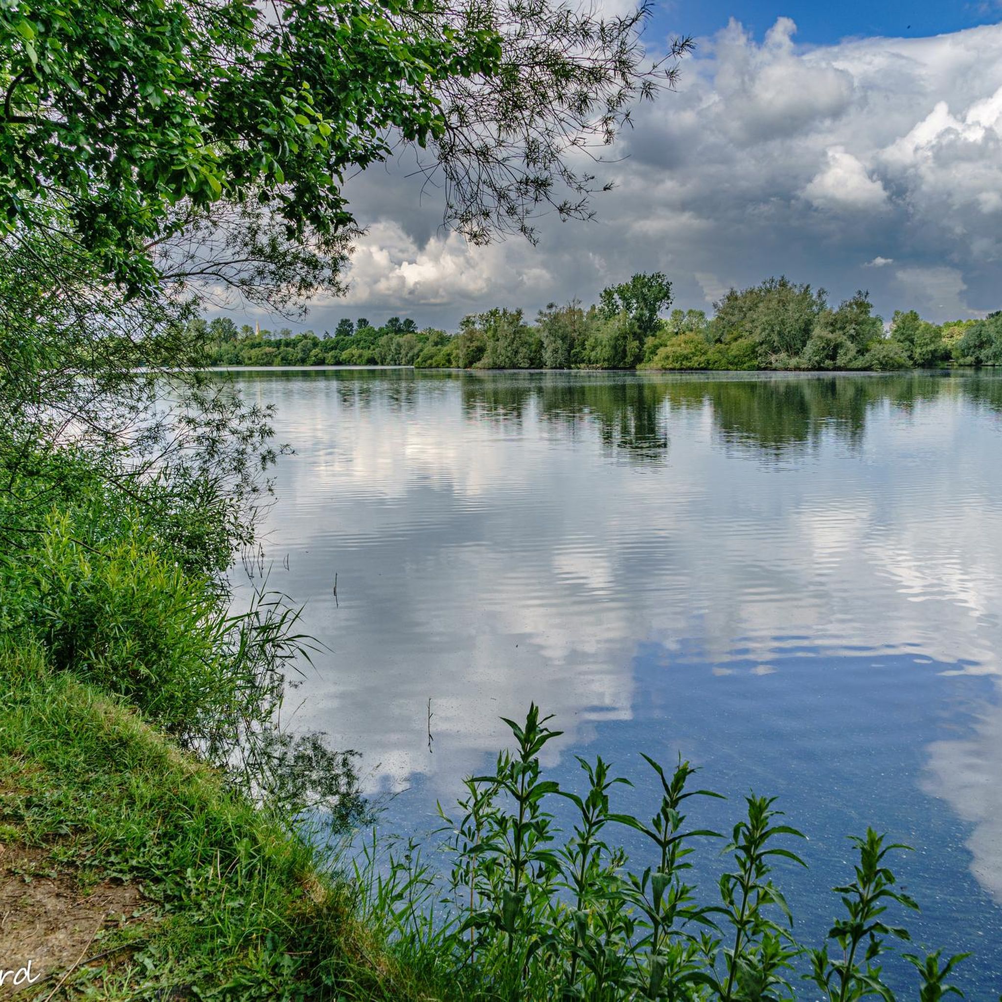
Road cycling routes around Bletsoe often pass through diverse landscapes including wetlands, grasslands, and woodlands. You might encounter scenic riverside environments, especially near the River Great Ouse. Notable natural features and attractions include Priory Lake and Harrold Bridge and Harrold-Odell Country Park, which offer beautiful views and opportunities for wildlife spotting.
Are there any circular road cycling routes available?
Yes, many of the road cycling routes around Bletsoe are circular, allowing you to start and end at the same point. The region is known for its network of routes that connect charming local communities, such as the 'North Beds Villages' circular route mentioned in regional research, which includes Bletsoe itself.
Where can I find parking for road cycling routes in Bletsoe?
While specific parking areas for individual routes are not detailed, the region's integration into established cycling networks suggests parking is available in or near the villages that serve as starting points for routes. Harrold-Odell Country Park, a common starting point for some routes, is likely to offer parking facilities.
What is the best time of year to go road cycling in Bletsoe?
The gently undulating countryside and quiet lanes of Bletsoe are enjoyable throughout much of the year. Spring and autumn offer pleasant temperatures and beautiful scenery with changing foliage. Summer provides longer daylight hours, while winter cycling is possible, though conditions may vary. The area's natural beauty makes it appealing across seasons.
Are there any cafes or pubs along the routes for a stop?
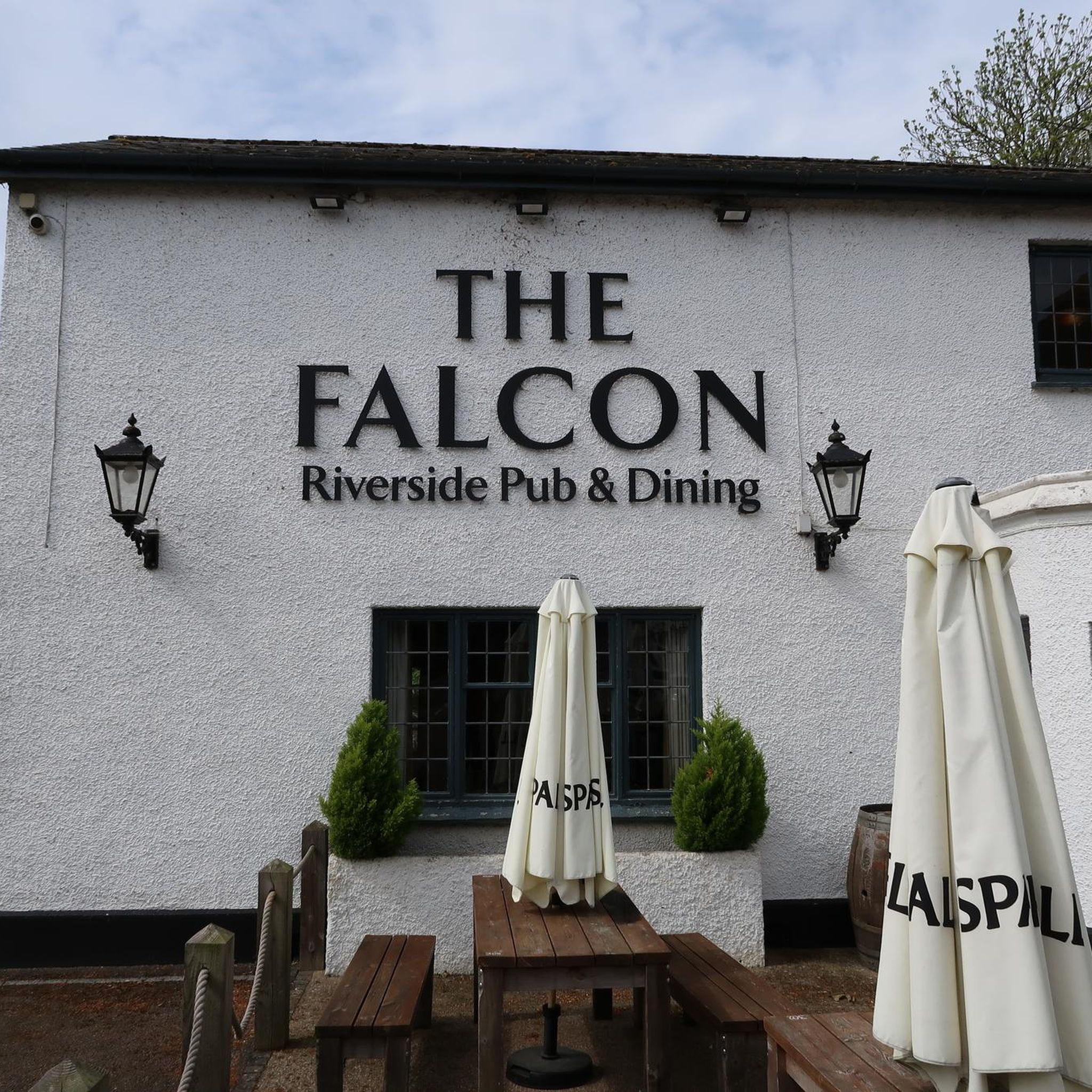
The road cycling routes often lead through local villages. These villages, such as Riseley and Sharnbrook, are likely to offer local amenities like cafes or pubs where cyclists can stop for refreshments. The region's charm lies in its connection of these small communities, making stops convenient.
What do other cyclists enjoy most about road cycling in Bletsoe?
The road cycling experience in Bletsoe is highly rated by the komoot community, with an average score of 4.6 stars from over 200 reviews. Cyclists frequently praise the varied terrain, the quiet country lanes, and the scenic riverside environments that define the region's routes.
Can I find longer distance road cycling routes around Bletsoe?
Yes, Bletsoe offers several longer distance road cycling routes. For example, the Easton Lane – Easton Maudit Church Steeple loop from Milton Ernest is a moderate 37.1 miles (59.7 km) trail, and the Descent into Wilden – Duloe Lane Graffiti Murals loop from Radwell covers 61.5 km (38.2 miles), providing options for more extensive rides.
Are there routes that pass by historical sites or points of interest?
Yes, the Bletsoe area is rich in history, and routes often pass by historical landmarks. For instance, the Kimbolton High Street – St Andrew's Church, Kimbolton loop from Riseley leads through local villages and past historical sites like Kimbolton High Street. Bletsoe Castle itself is a notable historical attraction in the region, with its medieval moated manor house and 16th-17th century garden enclosures.
How can I find routes that are specifically easy or moderate in difficulty?
On komoot, you can easily filter routes by difficulty. The Bletsoe area has 72 easy routes and 121 moderate routes. This allows you to select a ride that perfectly matches your fitness level and desired challenge. For example, the Quiet Road to the Deans – Riverside Park loop from Riseley is an easy 39.4 km (24.5 miles) option.
Most popular attractions around Bletsoe

Get inspired with the komoot mobile app


Explore more
Browse the best Road cycling routes in other regions.
