The best road cycling routes around Aspley Heath
4.5
(267)
8,966
riders
250
rides
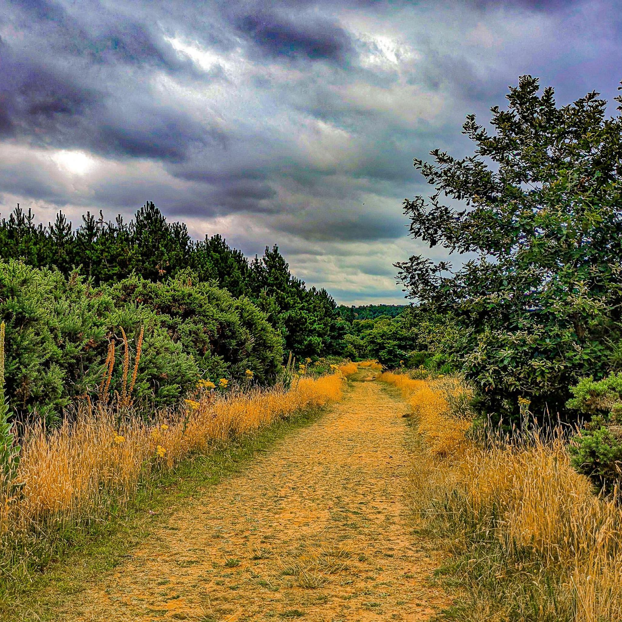
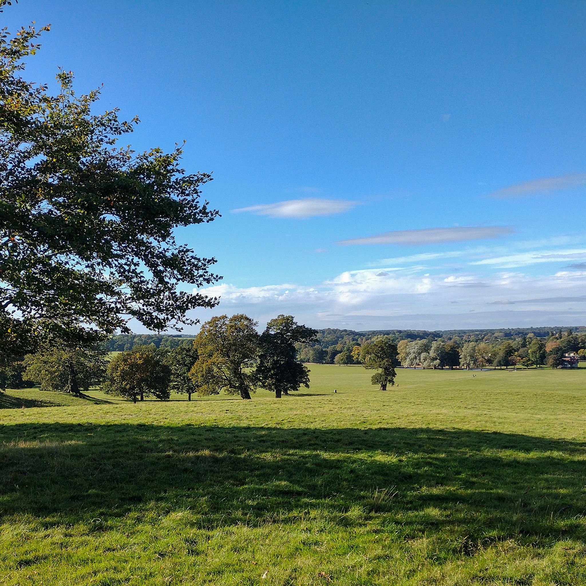
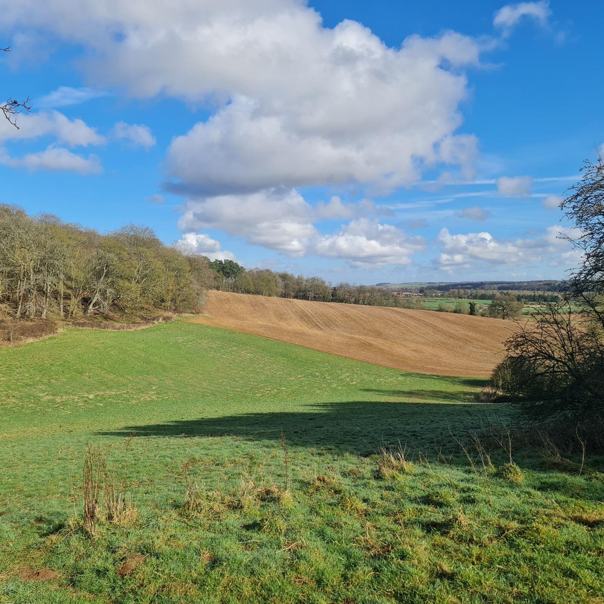
Road cycling around Aspley Heath is characterized by its varied terrain, extensive woodlands, and connection to broader cycling networks. The area features a mix of conifer plantations and semi-ancient woodland, alongside stretches of open heathland. Situated on the Greensand Ridge, the region offers gentle elevation changes and diverse topography, providing engaging challenges for road cyclists. These routes primarily consist of paved surfaces, suitable for different cycling preferences.
Best road cycling routes around Aspley Heath
- The most popular road cycling route is Newport Pagnell – Cranfield Airport loop from Woburn Sands, a 33.9 miles (54.5 km) trail that takes 2 hours 26 minutes to complete. This route features moderate elevation changes across the local landscape.
- Another top favourite among local road cyclists is Cranfield Airport – Bikebus Café loop from Woburn Sands, an easy 19.5 miles (31.4 km) path. This route offers a mix of paved and surfaced paths, suitable for a leisurely ride.
- Local road cyclists also love the Bikebus Café – Olney Market Square loop from Woburn Sands, a 45.6 miles (73.3 km) trail leading through varied countryside, often completed in about 3 hours 22 minutes.
- Road cycling around Aspley Heath is defined by extensive woodlands, open heathland, and the gentle elevation of the Greensand Ridge. The network offers options for different ability levels, from easier loops to more challenging rides.
- The routes in Aspley Heath are highly rated by the komoot community with an average score of 4.7 stars from over 220 reviews. More than 8,000 road cyclists have used komoot to explore Aspley Heath's varied terrain.
Last updated: October 13, 2026
4.8
(4)
230
riders
60.1km
02:42
360m
360m
Moderate road ride. Good fitness required. Mostly well-paved surfaces and easy to ride.
4.8
(4)
118
riders
31.0km
01:21
170m
170m
Easy road ride. Great for any fitness level. Mostly well-paved surfaces and easy to ride.

4.0
(2)
74
riders
73.6km
03:26
480m
480m
Moderate road ride. Good fitness required. Mostly well-paved surfaces and easy to ride.
4.3
(12)
64
riders
39.2km
01:35
200m
200m
Easy road ride. Great for any fitness level. Mostly well-paved surfaces and easy to ride.
61
riders
8.96km
00:31
80m
80m
Easy road ride. Great for any fitness level. Mostly well-paved surfaces and easy to ride.
Get access to more routes and recommendations from other explorers.
Already have an account?
Our route recommendations are based on thousands of hikes, rides, and runs completed by other people on komoot.
Start today with a free account
Your next adventure awaits.
Tips from the Community

I find it safe to lock my bike in the market square. They are visible from the cafe windows and the entrance to the fish and chip shop. It gives a bit of peace of mind.
0
0
there is a bench where you can rest or just enjoy the scenic village.
0
0

Great coffee, great cakes. Has some bits and bobs that could fix a mechanical issue. Makes a perfect stop whenever cycling by.
0
0


Cycle off the High Street to the Rugby club, signposted Sports area.
0
0

A friendly and unique place dedicated to the cycling community. I had a puncture 4km from Bikebus, owner comes to pick me up while I was walking in the rain, then fixed my bike, and offered fantastic coffee ( I have forgotten my repair kit on that day ) I am really thankful and highly recommend to visit the Bikebus... You can buy a second-hand road bike, gloves, socks, jerseys, hats, snacks, etc...Contactless payment is available.
1
0

Coffee, cake, friendly service. Also the note above about being cash-only is wrong (or outdated). Contactless is fine.
2
0
Frequently Asked Questions
How many road cycling routes are available around Aspley Heath?
There are over 240 road cycling routes around Aspley Heath, offering a wide variety of options for different skill levels and preferences. These routes are highly rated by the komoot community, with an average score of 4.7 stars.
What kind of terrain can I expect on road cycling routes in Aspley Heath?
Road cycling routes in Aspley Heath feature varied terrain, characterized by extensive woodlands and open heathland. Situated on the Greensand Ridge, the area offers gentle elevation changes and diverse topography, providing engaging challenges. Routes primarily consist of paved surfaces, with some incorporating surfaced paths.
Are there road cycling routes suitable for beginners or families in Aspley Heath?
Yes, Aspley Heath offers several easy road cycling routes perfect for beginners or families. For example, the Cranfield Airport – Bikebus Café loop from Woburn Sands is an easy 19.5-mile (31.4 km) path with a mix of paved and surfaced sections, ideal for a leisurely ride. There are 98 easy routes in total.
What are some longer or more challenging road cycling routes in the area?
For those seeking longer or more challenging rides, Aspley Heath has plenty to offer. The Bikebus Café – Olney Market Square loop from Woburn Sands is a moderate 45.6-mile (73.3 km) trail, and the Castle Ashby Avenue – Olney Market Square loop from Woburn Sands is a similar moderate route at 45.8 miles (73.6 km). There are 133 moderate and 10 difficult routes available.
What natural features or landmarks can I see along the road cycling routes?
Aspley Heath's routes take you through picturesque woodlands, including Aspley Woods and Brickhill Woods, which are home to diverse wildlife. You might also encounter scenic ponds like Mermaids Pond. Nearby, you can explore attractions such as Caldecotte Lake, which offers a surfaced cycling path around its perimeter, or the historic buildings in Aspley Guise.
Are there any circular road cycling routes around Aspley Heath?
Yes, many of the road cycling routes around Aspley Heath are designed as loops, providing convenient circular journeys. Examples include the popular Newport Pagnell – Cranfield Airport loop from Woburn Sands and the Cranfield Airport – Bikebus Café loop from Woburn Sands.
Where can I find refreshments or places to stop during a ride?
The nearby village of Woburn Sands is a convenient stop during your ride, offering various pubs and cafes for refreshments. Aspley Guise also features charming historic buildings and local amenities. Many routes pass through or near these villages, making it easy to plan a break.
What is the best time of year to go road cycling in Aspley Heath?
Aspley Heath offers enjoyable road cycling throughout much of the year. Spring and autumn provide pleasant temperatures and beautiful scenery with changing foliage. Summer is also popular, though routes through woodlands offer shade. While winter cycling is possible, be mindful of colder temperatures and potential wet conditions on some surfaced paths.
What do other road cyclists enjoy most about the routes in Aspley Heath?
The komoot community highly rates road cycling in Aspley Heath, with an average score of 4.7 stars from over 220 reviews. Cyclists often praise the varied terrain, the beauty of the extensive woodlands and open heathland, and the well-maintained paved surfaces that cater to different ability levels.
Is there parking available for road cyclists in Aspley Heath?
While specific parking areas for road cycling trailheads are not detailed, the area around Aspley Heath and nearby villages like Woburn Sands typically offers public parking options. It's advisable to check local parking regulations and availability before your visit.
Can I connect to other cycling networks from Aspley Heath?
Yes, Aspley Heath's location allows for connections to broader cycling networks. The Milton Keynes Boundary Walk and the Greensand Ridge Walk pass through the woods, potentially linking to further road cycling opportunities and extending your ride into the wider region.
Most popular routes around Aspley Heath
Most popular attractions around Aspley Heath

Get inspired with the komoot mobile app


Explore more
Browse the best Road cycling routes in other regions.
