The best cycling routes around Embalse de Forata
3.0
(1)
84
riders
14
rides
Touring cycling around Embalse de Forata offers diverse landscapes, from the serene reservoir shores to the surrounding mountain ranges. The region is characterized by varied terrain, including gravel tracks, paved roads, and asphalt sections, providing a mix of riding experiences. Situated at the foot of the Malacara and Martés mountain ranges, the area features significant elevation changes and scenic views of the Magro River basin. These routes cater to cyclists seeking both tranquil rides and challenging climbs.
Best touring cycling…
Last updated: June 27, 2026
3
riders
50.7km
04:06
1,060m
1,060m
Hard bike ride. Very good fitness required. Mostly paved surfaces. Suitable for all skill levels.
4
riders
106km
07:39
2,180m
2,180m
Hard bike ride. Very good fitness required. Mostly paved surfaces. Suitable for all skill levels.

Sign up for free
6
riders
50.4km
04:50
1,060m
1,060m
Hard bike ride. Very good fitness required. You may need to push your bike for some segments of this route.
18
riders
39.6km
03:22
680m
680m
Hard bike ride. Very good fitness required. Mostly paved surfaces. Suitable for all skill levels.
10
riders
45.0km
04:22
930m
930m
Hard bike ride. Very good fitness required. Mostly paved surfaces. Suitable for all skill levels.
Get access to more routes and recommendations from other explorers.
Sign up for free
Already have an account?
Our route recommendations are based on thousands of hikes, rides, and runs completed by other people on komoot.
Start today with a free account
Your next adventure awaits.
Login or Signup
Tips from the Community

The slope coming from Yatova is 3.1 km with 152 m of positive elevation gain, leaving an average gradient of 5.0% and a maximum of 9.3% (according to the Diputación signs, which provide information at the start, sections every 1 km, and the end). Asphalt in very good condition, mostly quiet road with no traffic.
0
0

The starting point of the GR-238 trail in El Rebollar is located next to an information sign that clearly marks the beginning of the route, accompanied by benches for resting and a fountain, creating a small space designed for hikers to prepare, consult information about the Route and refresh themselves before venturing along the path that continues between vineyards and hills typical of the region.
0
0
Recreational area with tables and chairs and Municipal Camping Area
0
0

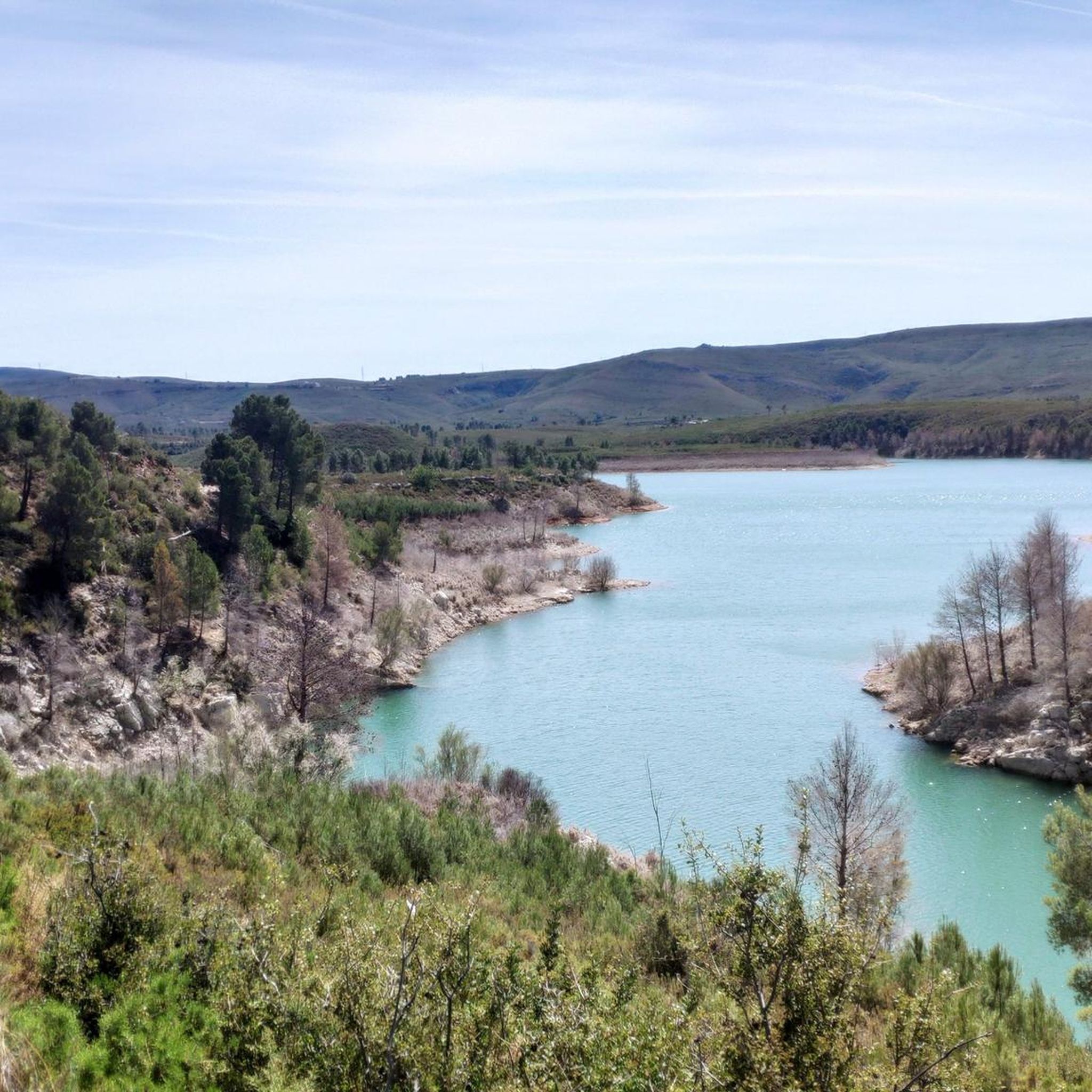
At this point on the road from Yátova, there is a sign indicating Puerto de Cardera. If you descend along a track from Puntal de la Nevera, you will reach this pass. Further along the road is Collado de los Tormos, which leads to a path that descends to the Forata reservoir.
1
0

At its foot lies the Lago de Cortes, which stores water from the Júcar River and is an important source of energy. In addition, the park is home to the important Muela de Cortes National Wildlife Refuge. You will find mouflon (imported), mountain goats, ibex and deer
0
0
The valley is known as the 'castle route'. Some castles are ruins, others have been beautifully restored. The region is wild, mountainous, with valleys and rivers. Here and there is a house and a small quiet village. You won't see any tourists here.
1
0

The Pigeon Cave in Yátova is a fascinating place that offers a unique experience of exploration and contact with nature. The cave is more than 2 kilometers long and is full of geological formations such as stalactites, stalagmites and columns. In addition, it is home to incredible biodiversity with various species of bats and other animals. Don't forget to wear comfortable shoes and a flashlight to explore its galleries and rooms. In short, the Cueva de las Palomas is a must-see destination for lovers of adventure and nature. Enjoy this underground wonder! 🌟
8
1

Pack your swimming trunks 🩳 and bikini 👙 and cool off 👍
2
0
Frequently Asked Questions
How many touring cycling routes are available around Embalse de Forata?
There are over 15 touring cycling routes around Embalse de Forata. The majority, 14 of them, are classified as difficult, with 3 moderate routes also available for those seeking a less strenuous ride.
What kind of terrain can I expect on touring cycling routes around Embalse de Forata?
The terrain around Embalse de Forata is quite varied, offering a mix of experiences. You'll encounter gravel tracks, quiet paved roads, and asphalt sections. Many routes feature challenging climbs with significant elevation gains, especially as you traverse the Malacara and Martés mountain ranges. Some sections may even require advanced riding skills.
Are there any circular touring cycling routes around Embalse de Forata?
Yes, many of the touring cycling routes in the area are circular, starting and ending in nearby towns like Yátova or Turís. An example is the Cuevas de Las Palomas – Collado Umán loop from Casas de la Paridera, which offers a challenging ride with substantial elevation gain.
What are some notable natural features or landmarks to see while cycling around Embalse de Forata?
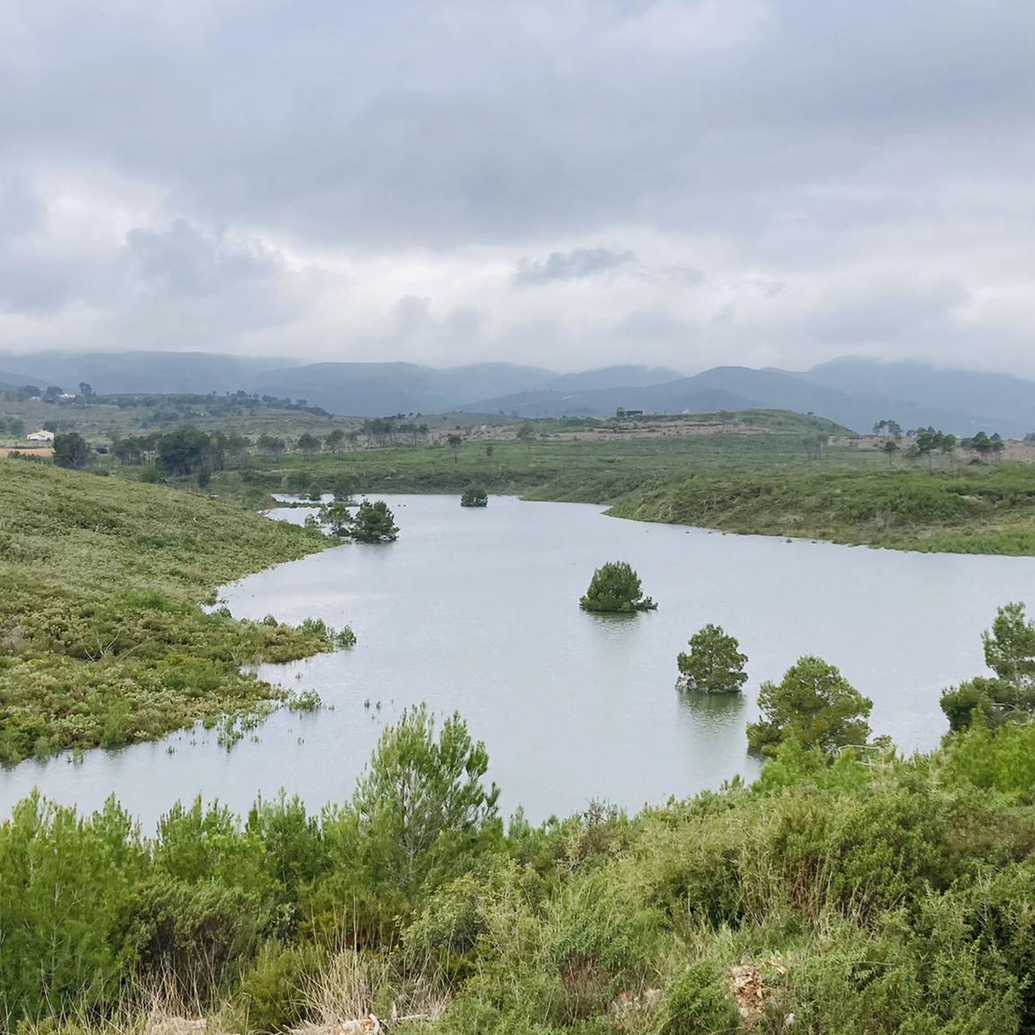
The Embalse de Forata itself is a central feature, offering picturesque views. You'll also experience the winding Magro River and the scenic Malacara and Martés mountain ranges. Some routes, like the Aqueduct ruins – El Pocico Spring loop from Tabarla, even pass by historical aqueduct ruins, blending natural beauty with cultural interest.
Is Embalse de Forata suitable for advanced touring cyclists?
Absolutely. The region is well-suited for advanced touring cyclists, with 14 out of 17 routes classified as difficult. These routes often feature significant elevation gains and varied terrain that demand good fitness and advanced riding skills. For instance, the Views of the Júcar River – La Pileta Viewpoint loop from Alto del Carcamal is a challenging 105.8 km path with over 2,100 meters of ascent.
What do other touring cyclists think about the routes in Embalse de Forata?
The touring cycling routes in Embalse de Forata are highly regarded by the komoot community, holding an average score of 3.0 stars. Over 95 touring cyclists have used komoot to explore the area, often praising the varied terrain and challenging climbs that define the region.
Are there any family-friendly touring cycling routes in the Embalse de Forata area?
While many routes are classified as difficult, there are 3 moderate routes available that might be more suitable for families or those seeking a less intense experience. It's advisable to check the specific route details on komoot for distance and elevation to ensure it matches your family's skill level.
What is the best time of year to go touring cycling around Embalse de Forata?
The region offers enjoyable cycling for much of the year. However, spring and autumn generally provide the most comfortable temperatures for touring cycling, avoiding the intense heat of summer and the cooler, potentially wetter conditions of winter. Always check local weather forecasts before heading out.
Are there options for parking near the touring cycling routes in Embalse de Forata?
Many routes start from towns like Yátova, Turís, or Casas de la Paridera, where you can typically find parking facilities. It's recommended to check the starting point of your chosen route on komoot for specific parking information, as options can vary.
Can I bring my dog on the touring cycling routes around Embalse de Forata?
While the natural environment is generally welcoming, specific rules regarding dogs on cycling paths can vary. It's best to check local regulations or signs along the trails. If cycling with your dog, ensure they are well-behaved, on a leash where required, and that you carry enough water for both of you, especially on longer routes.
Are there any routes that offer extensive views of the Júcar River?
Yes, the Views of the Júcar River – La Pileta Viewpoint loop from Alto del Carcamal is specifically designed to offer extensive views of the Júcar River, alongside significant climbs, making it a rewarding experience for those seeking panoramic vistas.
How long does it typically take to complete a touring cycling route in this area?
The duration varies significantly depending on the route's distance and difficulty. For example, the Cuevas de Las Palomas – Collado Umán loop from Casas de la Paridera, which is 51.7 km long with over 1,000 meters of elevation gain, typically takes around 4 hours and 8 minutes. Longer, more challenging routes can take considerably more time.
Most popular routes around Embalse de Forata

Get inspired with the komoot mobile app


Explore more
Browse the best Cycling routes in other regions.
