The best road cycling routes around Drumsavage
655
riders
157
rides
Road cycling around Drumsavage features a landscape characterized by rolling hills, extensive forests, and scenic loughs. The region offers a mix of well-paved roads that traverse varied terrain, providing routes suitable for different fitness levels. Cyclists can expect to encounter picturesque waterways and tranquil heathland throughout their rides.
Best road cycling routes around Drumsavage
- The most popular road cycling route is Lottie's Café – Scarva Village loop from Armagh, a 29.7 miles (47.8 km) trail that takes 2 hours…
Last updated: July 7, 2026
17
riders
47.8km
02:13
480m
480m
Moderate road ride. Good fitness required. Mostly well-paved surfaces and easy to ride.
14
riders
66.3km
02:56
670m
670m
Moderate road ride. Good fitness required. Mostly well-paved surfaces and easy to ride.

Sign up for free
9
riders
51.5km
02:06
310m
310m
Moderate road ride. Good fitness required. Mostly well-paved surfaces and easy to ride.
4
riders
77.7km
03:31
830m
830m
Moderate road ride. Good fitness required. Mostly well-paved surfaces and easy to ride.
7
riders
115km
04:59
810m
810m
Moderate road ride. Good fitness required. Mostly well-paved surfaces and easy to ride.
Get access to more routes and recommendations from other explorers.
Sign up for free
Already have an account?
Our route recommendations are based on thousands of hikes, rides, and runs completed by other people on komoot.
Start today with a free account
Your next adventure awaits.
Login or Signup
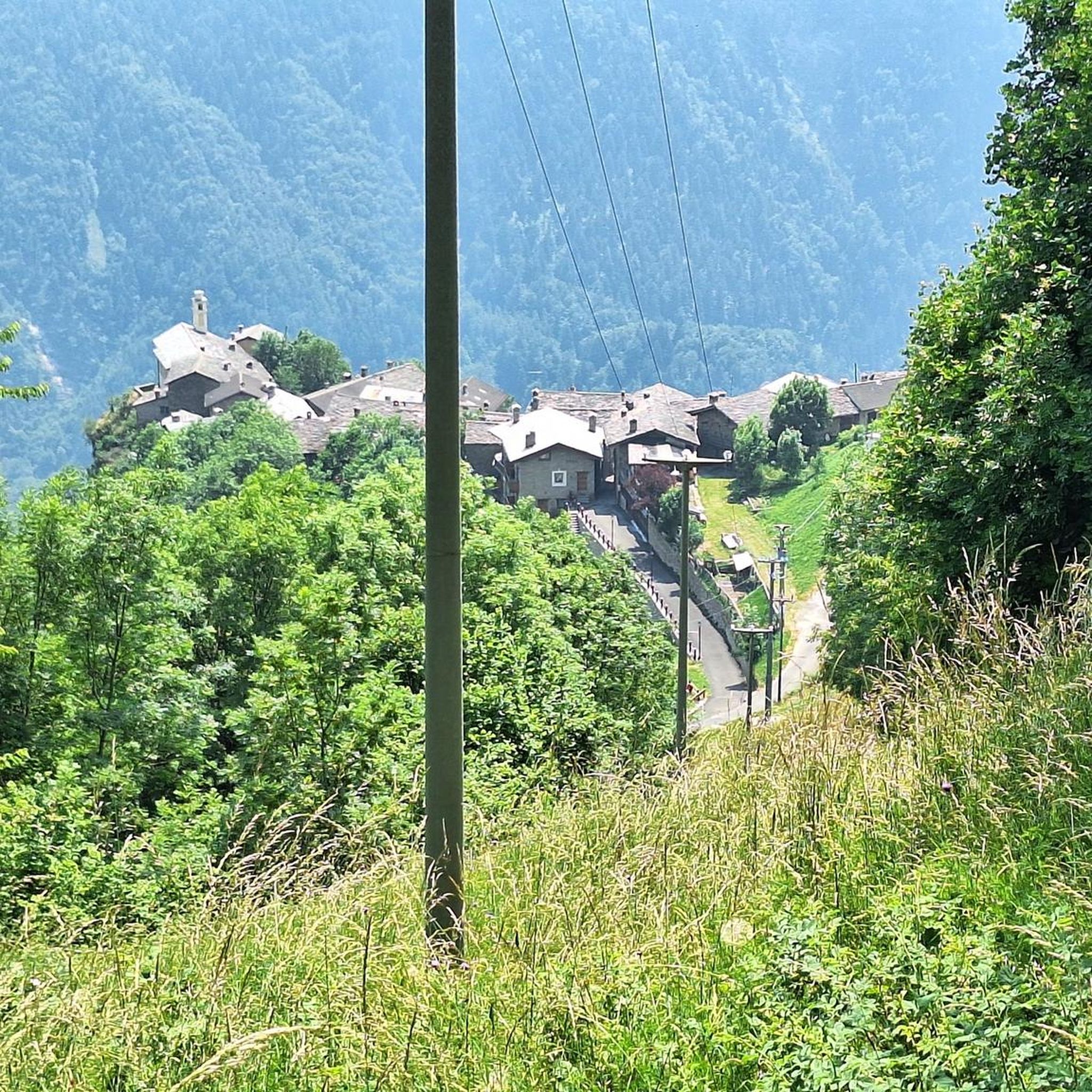

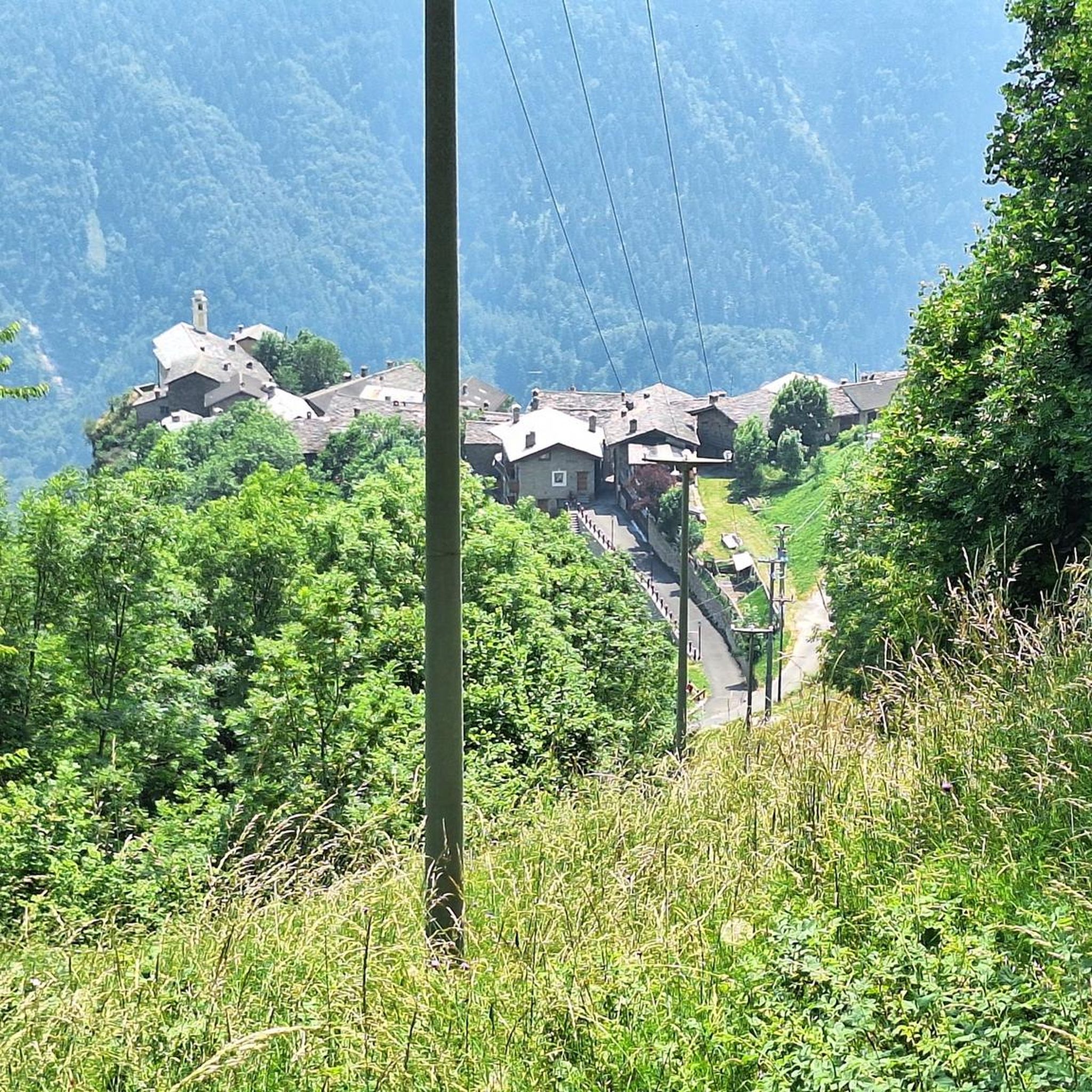
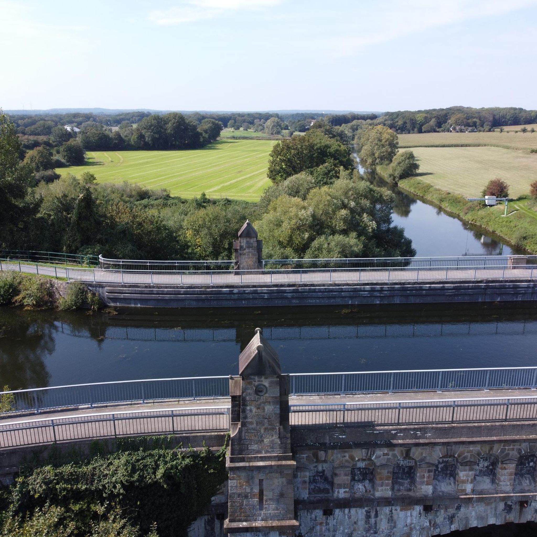
Tips from the Community

Saint Patrick and Saint Colman's Cathedral is the architectural jewel of Newry and one of Ireland's most impressive Neo-Gothic structures. Construction began in 1825, and upon its completion in 1829, the cathedral made history as the first Catholic cathedral to open in Ireland following the repeal of the penal laws (Catholic Emancipation). Built from local granite from the nearby Mourne Mountains, this edifice exudes a robust yet elegant power. The cathedral is world-renowned for its fabulous interior: the walls and ceiling are adorned with colourful mosaics, meticulously applied by hand by Italian master craftsmen in the early 20th century. For the cyclist, this is not only a visual highlight along the route but also a place of serene tranquility. Its detailed stained-glass windows and monumental tower make it one of the city's most photographed locations and a worthy endpoint (or starting point) for your tour along the Newry Canal Towpath.
6
0
This largely flat and completely traffic-free path winds through the heart of counties Armagh and Down, along the tranquil waterway that once formed the lifeline for transporting coal to the Irish Sea. As you pedal over the well-maintained asphalt or fine gravel, you'll be surrounded by lush green embankments, historic stone bridges, and the monumental remains of eighteen locks that bridge the elevation difference in the landscape. A mix of smooth asphalt and easily rideable fine gravel, suitable for almost all types of bicycles.
7
0
For cyclists following the 'Lough Neagh Cycle Way' (National Cycle Route 94), the Maghery footbridge is an iconic resting point and an essential link. This elegant, modern bridge spans the mouth of the Upper Bann as it enters the lough.
8
0
Quiet canal section south of Poyntzpass, where the towpath runs tightly along the narrow water. The bank is lightly overgrown with low trees and hedges, giving the stretch an intimate, green impression. The water is mostly still, forming a straight line through the open agricultural landscape. An even, traffic-free segment ideal for quiet miles on the towpath.
5
0
The Newry Canal Towpath is a 32-kilometer-long, almost entirely traffic-free green corridor connecting the towns of Portadown and Newry. It follows the towpath of the oldest canal in the British Isles, opened in 1742 to transport coal from County Tyrone to the sea. The Newry Canal Towpath offers an unparalleled cycling experience through the tranquil heart of County Armagh and County Down. This historic route, part of the National Cycle Network Route 9, takes you along a flat and largely asphalted path past fourteen monumental locks and characteristic lock-keeper's cottages. As you follow the waterway, you'll traverse a varied landscape of dense forests and open meadows, passing through welcoming villages like Scarva and Poyntzpass along the way. The path is a haven for wildlife; keep an eye out for kingfishers, swans, and otters that inhabit the reed beds. Whether you cycle the full 32 kilometers or explore just a section, the combination of industrial history and natural beauty makes this one of the absolute gems of Irish cycling routes.
5
0

Nice little cafe in the village of Scarva right alongside the Newry canal towpath, great for brekkie, lunch or just topping up the hydration.
1
0

Hollie Berrie is a good place for refreshments on the route at Scarva
0
1
Frequently Asked Questions
How many road cycling routes are available around Drumsavage?
There are over 160 road cycling routes around Drumsavage, offering a wide variety of options for different skill levels. You'll find everything from easier rides to more challenging routes with significant elevation.
What types of terrain can I expect on road cycling routes in Drumsavage?
The region around Drumsavage is characterized by rolling hills, extensive forests, and scenic loughs. Cyclists can expect well-paved roads that traverse varied terrain, including picturesque waterways and tranquil heathland. Some routes may feature moderate ascents, while others offer flatter stretches.
Are there any easy road cycling routes suitable for beginners in Drumsavage?
Yes, Drumsavage offers over 30 easy road cycling routes perfect for beginners or those seeking a more relaxed ride. These routes typically feature less elevation and shorter distances, allowing you to enjoy the scenery at a comfortable pace.
What are some popular moderate road cycling routes in the area?
Many cyclists enjoy the moderate routes around Drumsavage. A popular choice is the Lottie's Café – Scarva Village loop from Armagh, which covers about 48 km with varied terrain. Another well-liked option is the The Barn Pantry – Gosford Castle loop from Armagh, a 50 km trail through rural countryside.
Are there any challenging road cycling routes for experienced riders?
For experienced riders seeking a challenge, Drumsavage offers several difficult routes. For example, the Newry Canal Towpath – Derrymore House loop from Armagh is a moderate route that covers over 62 km with significant elevation gain, providing a good test of endurance.
What natural attractions can I see along the road cycling routes?
Many routes offer views of beautiful natural features. You might cycle past loughs like Oak Lough and New Lough, with roads sometimes running between bodies of water. The region also features extensive forests and heathland. The Cusher River is another scenic highlight you might encounter.
Are there any historical or cultural landmarks to visit while cycling?
Yes, several routes pass by interesting historical sites. The Gosford Castle – Scarva Village loop from Armagh offers views of historic sites and rural landscapes, including Gosford Castle. You might also find early 16th-century church ruins and market towns like Omagh nearby.
What is the best time of year for road cycling in Drumsavage?
While Northern Ireland weather can be unpredictable, the spring and summer months (May to September) generally offer the most favorable conditions for road cycling, with milder temperatures and longer daylight hours. However, the scenic beauty of the region can be enjoyed in all seasons, with autumn offering vibrant foliage.
Are there any circular road cycling routes available?
Yes, many of the road cycling routes around Drumsavage are designed as loops, allowing you to start and finish at the same point. Examples include the The Barn Pantry loop from Armagh and the various loops mentioned that start and end in Armagh.
What do other cyclists say about road cycling in Drumsavage?
The road cycling routes in Drumsavage are highly rated by the komoot community, with an average score of 5.0 stars. Cyclists often praise the varied terrain, the scenic loughs, and the well-maintained roads that make for an enjoyable riding experience.
Are there options for family-friendly road cycling in Drumsavage?
While the guide focuses on road cycling, which often involves shared roads, the presence of numerous easy routes suggests options for families with older children or those comfortable cycling on quieter roads. Always check route details for traffic levels and suitability for younger riders.
Where can I find cafes or places to stop for refreshments along the routes?
Many routes start or pass through towns like Armagh, which offer various amenities including cafes and pubs. Specific routes like the Lottie's Café – Scarva Village loop from Armagh are named after local establishments, indicating opportunities for refreshments along the way. Market towns in the broader region, such as Omagh, also provide places to stop.
Most popular routes around Drumsavage
Most popular attractions around Drumsavage

Get inspired with the komoot mobile app


Explore more
Browse the best Road cycling routes in other regions.
