The best running trails around Lurganare
4.5
(6)
536
runners
46
runs
Jogging routes around Lurganare are characterized by their gentle terrain, often following the banks of the Newry River and Newry Canal. The landscape features waterside paths, open areas, and some wooded sections, providing varied scenery for runners. The region offers routes with minimal elevation gain, making it suitable for a range of abilities.
Best jogging routes around Lurganare
- The most popular jogging route is Bessbrook village running loop around Bessbrook Pond, a 3.1 miles (4.9 km) trail that takes…
Last updated: October 11, 2026
1
runners
4.94km
00:34
70m
70m
Easy run. Great for any fitness level. Mostly paved surfaces. Suitable for all skill levels.
5.0
(3)
59
runners
15.9km
01:38
20m
20m
Hard run. Very good fitness required. Mostly paved surfaces. Suitable for all skill levels.

3.0
(1)
47
runners
11.7km
01:12
40m
40m
Moderate run. Good fitness required. Mostly paved surfaces. Suitable for all skill levels.
45
runners
Moderate run. Good fitness required. Mostly paved surfaces. Suitable for all skill levels.
38
runners
19.6km
02:01
40m
40m
Hard run. Very good fitness required. Mostly paved surfaces. Suitable for all skill levels.
Get access to more routes and recommendations from other explorers.
Already have an account?
Our route recommendations are based on thousands of hikes, rides, and runs completed by other people on komoot.
Start today with a free account
Your next adventure awaits.

Tips from the Community

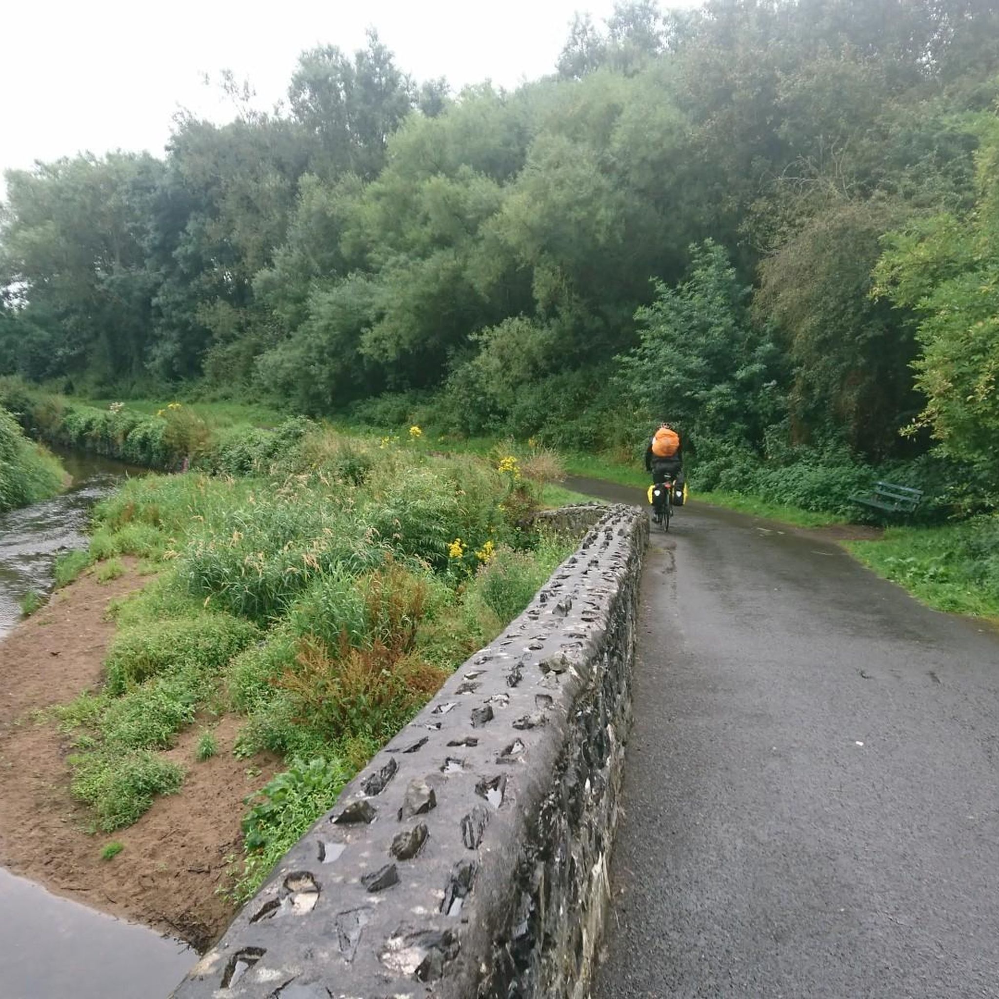
De An Bealach Glas (The Greenway) is a stunning, traffic-free greenway that connects Newry to the monumental Victoria Lock. This 6-kilometre-long 'green route' takes you along the tidal river Clanrye and the sea canal, with the impressive peaks of the Mourne Mountains to your left and Cooley Mountains to your right.
6
0
Once you leave the city of Newry behind, you cycle towards tranquility on An Bealach Glas, also known as the Carlingford Lough Greenway. This flat, smoothly asphalted path follows the banks of the canal and offers spectacular views of the river's mudflats along the way, where you can spot numerous wading birds and sometimes even a stray seal. The route is a true sensory experience: the salty sea air blows towards you while the mountains seem to get closer and closer. The absolute endpoint of this section is the historic Victoria Lock, an impressive lock complex from 1850 that marks the transition from the canal to the open waters of Carlingford Lough. It is the perfect place to get some fresh air and enjoy the maritime dynamics before continuing your journey to the coast.
6
0
De An Bealach Glas (The Greenway) is a beautiful, traffic-free cycle path connecting Newry to the monumental Victoria Lock. This 6-kilometer-long 'green route' takes you along the tidal river Clanrye and the sea canal, with the impressive peaks of the Mourne Mountains to your left and Cooley Mountains to your right.
5
0
Saint Patrick and Saint Colman's Cathedral is the architectural jewel of Newry and one of Ireland's most impressive Neo-Gothic structures. Construction began in 1825, and upon its completion in 1829, the cathedral made history as the first Catholic cathedral to open in Ireland following the repeal of the penal laws (Catholic Emancipation). Built from local granite from the nearby Mourne Mountains, this edifice exudes a robust yet elegant power. The cathedral is world-renowned for its fabulous interior: the walls and ceiling are adorned with colourful mosaics, meticulously applied by hand by Italian master craftsmen in the early 20th century. For the cyclist, this is not only a visual highlight along the route but also a place of serene tranquility. Its detailed stained-glass windows and monumental tower make it one of the city's most photographed locations and a worthy endpoint (or starting point) for your tour along the Newry Canal Towpath.
6
0
As you enter Newry via the canal route, you are greeted by an impressive tribute to the fallen: the Newry War Memorial, marked by an authentic 25-pounder gun. This artillery piece, an icon of World War II, symbolizes the courage and sacrifice of the local people during global conflicts. The Gun: It is an Ordnance QF 25-pounder, the main British field gun of World War II, known for its versatility and mobility.
6
0
Between the rustling trees along the Newry Canal Towpath, you'll encounter the tranquil ruin of a lock keeper's cottage. Once, this was the proud and bustling heart of the waterway, where the lock keeper stood ready day and night to operate the heavy wooden canal gates for passing barges. Today, only the robust stone walls remain, slowly being reclaimed by nature.
6
0
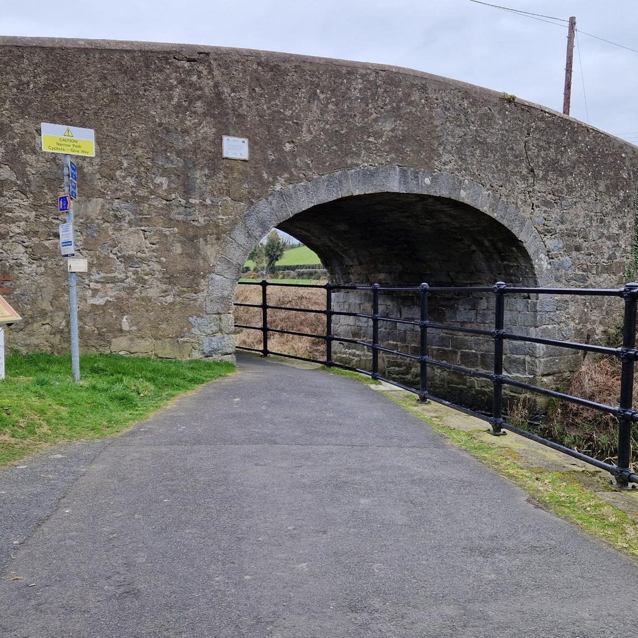
Quiet canal section south of Poyntzpass, where the towpath runs tightly along the narrow water. The bank is lightly overgrown with low trees and hedges, giving the stretch an intimate, green impression. The water is mostly still, forming a straight line through the open agricultural landscape. An even, traffic-free segment ideal for quiet miles on the towpath.
5
0

Here, too, passersby encounter a "war memorial" in the center of town. Everywhere in the villages and towns, victims were mourned during the terrible wars (especially, but not only, in the first half of the last century) – often young people who had to endure suffering and pain and ultimately paid with their own lives for their service to their fatherland far from home. Their names are always inscribed on the respective memorial to at least keep the memory alive.
0
0
Frequently Asked Questions
How many running routes are available in the Lurganare area?
There are over 50 running routes available in the Lurganare area, catering to various fitness levels. You'll find a good mix, with 7 easy routes, 30 moderate routes, and 14 more challenging options.
What is the general terrain like for running in Lurganare?
Running routes around Lurganare are characterized by their gentle terrain, often following the banks of the Newry River and Newry Canal. The landscape features waterside paths, open areas, and some wooded sections, providing varied scenery. The region offers routes with minimal elevation gain, making it suitable for a wide range of abilities.
What do other runners say about the trails in Lurganare?
The running routes in Lurganare are highly rated by the komoot community, with an average score of 5.0 stars. Over 500 runners have used komoot to explore the area, often praising the scenic waterside views and the well-maintained paths.
Are there easy running routes suitable for beginners in Lurganare?
Yes, Lurganare offers several easy running routes perfect for beginners or those looking for a relaxed jog. A popular choice is the Bessbrook village running loop around Bessbrook Pond, an easy 3.1-mile (4.9 km) trail that takes about 33 minutes to complete.
Are there any running routes that offer scenic views or pass by interesting landmarks?
Many running routes in Lurganare offer scenic views, particularly along the Newry River and Newry Canal. For example, the Newry River loop from Newry provides beautiful waterside vistas. You can also explore highlights like the Newry Canal Towpath, Camlough Lake, and the impressive Craigmore Viaduct, which are all nearby attractions.
Are there any circular running routes in the Lurganare area?
Yes, many of the running paths in Lurganare are designed as loops, offering convenient circular routes. A great example is the Newry Canal Towpath – Lock Keeper's Cottage Ruins loop from Mullaghglass, which is an 8.5-mile (13.6 km) trail that takes you through picturesque canal-side landscapes.
Are the running routes in Lurganare suitable for families?
Yes, the generally flat and well-maintained paths along the Newry River and Canal make many routes suitable for families. Areas like Lurgan Park, though not directly in Lurganare, are known for being very family-friendly with extensive pathways and recreational facilities.
Can I bring my dog on the running trails in Lurganare?
While specific regulations for every trail vary, many of the open green spaces and towpaths in the Lurganare area are generally dog-friendly, especially if dogs are kept on a leash. Always be mindful of local signage and other users.
What are the parking options near the running routes in Lurganare?
Parking is generally available near popular trailheads, especially in towns like Newry which serve as starting points for many river and canal loops. For specific routes, it's advisable to check the route details on komoot for designated parking areas.
Is public transport accessible to reach the running trails in Lurganare?
Yes, public transport can be used to access many of the running trails, particularly those starting from Newry. The town is well-connected, and routes often begin close to urban centers, making them accessible by bus or train services.
Are there any longer, more challenging running routes for experienced runners?
Absolutely. For experienced runners seeking a longer challenge, routes like the Newry River – Canal Wood loop from Newry offer a difficult 19.0-mile (30.6 km) run. Another option is the Newry River – Newry Canal loop from Newry, which is a difficult 18.6-mile (29.9 km) route.
What is the best time of year to go running in Lurganare?
The best time to go running in Lurganare is generally during the spring, summer, and early autumn months when the weather is milder and the natural scenery is at its most vibrant. The relatively flat terrain means routes are accessible year-round, but conditions can be wet in winter.
Most popular routes around Lurganare
Most popular attractions around Lurganare

Get inspired with the komoot mobile app


Explore more
Browse the best Running Trails & Routes in other regions.
