The best MTB trails around Encoro de Belesar
4.5
(38)
166
riders
20
rides
Mountain biking around Encoro de Belesar offers diverse terrain shaped by the reservoir and the Miño River gorge in the Lugo region of Spain. The landscape features steep, terraced vineyards of the Ribeira Sacra, lush forests, and varied topography ranging from riverside paths to challenging ascents and technical descents. This area provides a comprehensive experience for mountain bikers, with routes traversing natural features and historical sites.
Best mountain bike trails around Encoro de Belesar
- The most popular mountain bike trail…
Last updated: August 22, 2026
41.7km
03:30
970m
970m
Hard mountain bike ride. Very good fitness required. Advanced riding skills necessary.
5.0
(1)
43
riders
136km
10:47
2,550m
2,540m
Hard mountain bike ride. Very good fitness required. Suitable for all skill levels.

Sign up for free
11
riders
38.6km
03:28
900m
890m
Hard mountain bike ride. Very good fitness required. Suitable for all skill levels.
8
riders
43.8km
03:40
770m
770m
Moderate mountain bike ride. Good fitness required. Suitable for all skill levels.
5
riders
55.6km
04:09
1,070m
1,070m
Hard mountain bike ride. Very good fitness required. Suitable for all skill levels.
Get access to more routes and recommendations from other explorers.
Sign up for free
Already have an account?
Our route recommendations are based on thousands of hikes, rides, and runs completed by other people on komoot.
Start today with a free account
Your next adventure awaits.
Login or Signup

Tips from the Community

Church that opens alternate Sundays for mass. The rest closed.
0
0


One of the oldest monasteries in the West, dating back to the 6th century and the heart of the Ribeira Sacra region of Lugo. Its large cloister is the largest in Spain, and the complex is impressive both for its size and its history linked to the Camino de Santiago. Arriving via the detour from the French Way is a gift: a peaceful stretch, with a river and picture-perfect vegetation. However, once you leave, you have to climb back… and your legs remember.
1
0
Pico do Páramo: a high point with endless views over Lugo and the Ancares. The climb is demanding, but topping out on your bike next to the giant antenna is rewarding: stunning panoramic views and guaranteed coverage. Cyclist tip: dress warmly, the wind never fails here.
0
0
A 12th-century Romanesque gem with a façade related to Santiago Cathedral. From its viewpoint, you can admire the Miño River in all its splendor. Cyclist's tip: the climb is tough, but the panoramic views make the climb—and the effort—worth it.
0
0
A perfect example of traditional Galician architecture. Stone, wood, and a wealth of history, right in the heart of the Ribeira Sacra. A curious stop to understand how corn was stored... and how we cyclists take advantage of any excuse to stop.
0
0

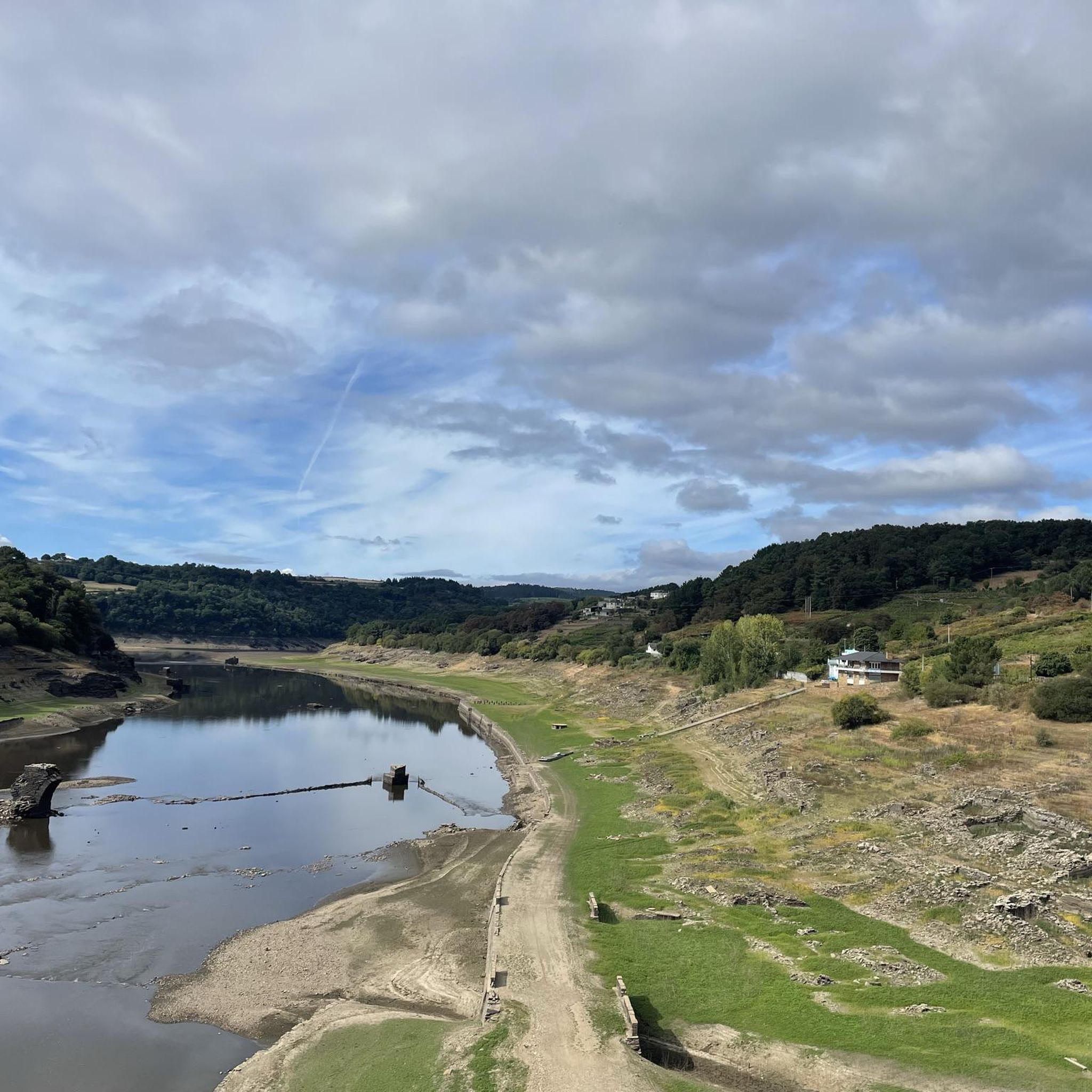
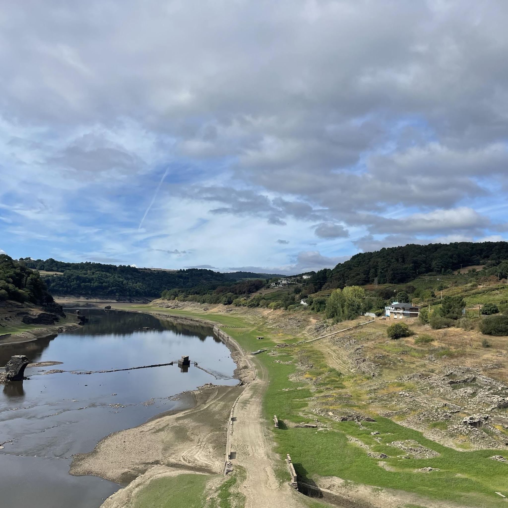
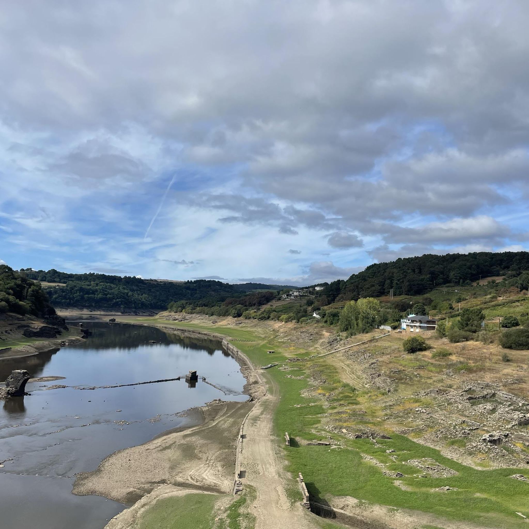
A rare sight! A magical moment! Seeing two bridges from different eras standing side by side. Low water levels make this possible.
2
0

Contrary to what the name suggests, this was not the king's palace or residence. It's a lovely little place and good for a break.
1
2
Frequently Asked Questions
How many mountain bike trails are available around Encoro de Belesar?
There are 19 mountain bike trails around Encoro de Belesar listed on komoot. These routes offer a diverse range of experiences, from easy forest paths to challenging technical descents.
What types of terrain can I expect on the mountain bike trails in Encoro de Belesar?
The terrain around Encoro de Belesar is highly varied. You'll find everything from scenic riverside paths along the Miño River to challenging mountainous ascents and technical descents. The region is also known for the steep, terraced vineyards of Ribeira Sacra, which offer unique and visually dramatic routes.
Are there any family-friendly mountain bike routes in the area?
Yes, while many routes are challenging, there are options suitable for families. The Ribeira Sacra MTB Centre, for instance, offers routes of varying difficulty, including easier trails that wind through chestnut forests. Look for routes rated as 'easy' or 'moderate' on komoot for more family-friendly options.
What are some notable landmarks or attractions I can see while mountain biking?
Many mountain bike routes pass by significant landmarks. You can encounter the historic Portomarín Bridge, the challenging Rocky descent to Portomarín (historic route), and the Staircase and Chapel of Our Lady of the Snows (Capela das Neves) in Portomarín. The stunning Belesar Reservoir and the Miño River itself are central features of many rides.
Are there any moderate difficulty mountain bike trails that offer good views?
Absolutely. For a moderate challenge with rewarding scenery, consider the Penasillas loop from Chantada. This 31.1 km route takes about 2 hours 10 minutes and offers a great way to experience the region's beauty without the extreme technical demands of some other trails.
What is the best time of year for mountain biking around Encoro de Belesar?
The region experiences lush greenery, suggesting spring and autumn are ideal for mountain biking, offering pleasant temperatures and vibrant landscapes. While the 'rocky descent to Portomarín' can be challenging when wet, many trails are enjoyable outside of heavy rain periods. Always check local weather conditions before heading out.
Is there a specific mountain bike center or hub in the area?
Yes, the Ribeira Sacra MTB Centre serves as a dedicated hub for mountain biking. Located in a former hydroelectric plant, it provides access to over 150 kilometers of specific MTB routes, including a specialized downhill (DH) circuit, catering to various skill levels.
What do other mountain bikers say about the trails in Encoro de Belesar?
The mountain bike trails around Encoro de Belesar are highly rated by the komoot community, with an average score of 4.3 stars from over 30 reviews. Riders often praise the diverse terrain, the stunning natural beauty of the reservoir and Miño River gorge, and the blend of natural features with historical sites.
Are there any long-distance or challenging mountain bike routes for experienced riders?
Experienced riders will find several challenging options. The Chantada – vuelta por Monte Faro is a difficult 41.4 km route with significant elevation changes, typically taking around 3 hours 42 minutes. This route offers a demanding experience through varied landscapes.
Are there any circular mountain bike routes available?
Yes, many routes in the area are designed as loops, allowing you to start and end in the same location. For example, the Portomarín Bridge – Portomarín sign loop from Portomarín is a difficult 39.2 km circular path offering great views of the historic bridge and surrounding area.
What kind of natural features can I expect to see on the trails?
You'll be immersed in lush greenery, including chestnut and oak woods, and may encounter stunning waterfalls along some routes. The dramatic Miño River gorge and the expansive Belesar Reservoir are constant natural backdrops, offering breathtaking views throughout your ride.
Is public transport available to reach the mountain biking areas?
While many routes are well-documented, specific public transport options directly to all trailheads might be limited. It's generally recommended to plan your journey, and GPS is often advised for comprehensive navigation, especially on longer or less conventional trails.
Most popular routes around Encoro de Belesar
Most popular attractions around Encoro de Belesar

Get inspired with the komoot mobile app


Explore more
Browse the best MTB trails in other regions.
