The best road cycling routes around Embalse de Cazalegas
5.0
(1)
328
riders
11
rides
Road cycling around Embalse de Cazalegas offers diverse landscapes at the foot of the Sierra de San Vicente, characterized by varied terrain from humid zones and reed beds to riverside forests and dehesas. The region features roads that follow the Alberche River, a tributary of the Tagus, providing routes with both flat sections and significant elevation changes. Cyclists can navigate through areas rich in flora, including poplars, willows, ash trees, oaks, cork oaks, and holm oaks. The reservoir itself provides…
Last updated: July 11, 2026
72
riders
39.1km
01:35
220m
220m
Easy road ride. Great for any fitness level. Mostly well-paved surfaces and easy to ride.
12
riders
Moderate road ride. Good fitness required. Mostly well-paved surfaces and easy to ride.

Sign up for free
53
riders
74.2km
03:39
1,150m
1,150m
Hard road ride. Very good fitness required. Mostly well-paved surfaces and easy to ride.
22
riders
48.3km
02:46
1,130m
1,130m
Hard road ride. Very good fitness required. Mostly well-paved surfaces and easy to ride.
12
riders
102km
05:32
2,110m
2,110m
Hard road ride. Very good fitness required. Mostly well-paved surfaces and easy to ride.
Get access to more routes and recommendations from other explorers.
Sign up for free
Already have an account?
Our route recommendations are based on thousands of hikes, rides, and runs completed by other people on komoot.
Start today with a free account
Your next adventure awaits.
Login or Signup


Tips from the Community

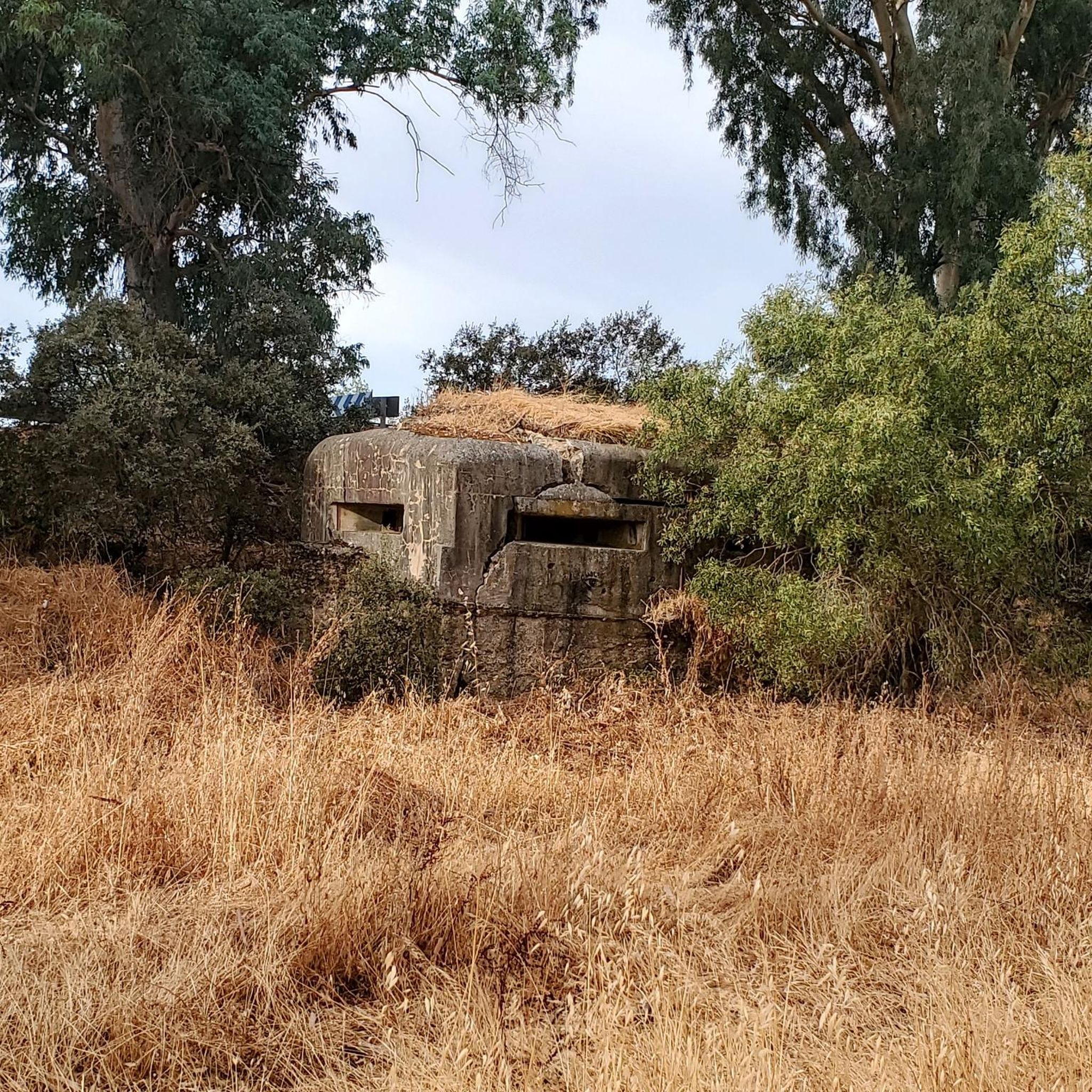
El Real de San Vicente is located at the foot of the mountain range from which it takes its name, in a prime setting for outdoor activities. Its location is associated with military settlements in the 11th and 12th centuries. Remains of its millennia-long occupation are preserved in the village.
0
0
At the foot of the San Vicente mountain range lies San Román de los Montes, a town whose historical importance is evident in the impressive 16th-century Roll of Justice, crowned with four dog heads, found in its historic center.
0
0

Mijares is located on the southern slope of the Villafranca mountain range, near the Tiétar river. The town is surrounded by a natural environment with forests and mountains, which makes it an attractive place for nature and hiking lovers. The most important points of the town are the parish church of San Bartolomé Apóstol, rebuilt in the 18th century, and the Plaza Mayor, the nerve center of the municipality, where various businesses are located and local events and activities are held.
2
0

It extends along the eastern bank of the Tagus River and is the second most populated municipality in the province and the fourth in Castilla-La Mancha. Among its monuments are the Basilica of Our Lady of the Prado, which houses what is today the patron saint of the city. It was called Queen of the Hermitages by Philip II, it is also called the Sistine Chapel of ceramics, because this colorful art shows here all its splendor from the 16th century to the present day. The style of its construction is a combination of Renaissance and Baroque, although it has undergone various restorations over the centuries. It was elevated to the dignity of Basilica in 1989 by Pope John Paul II. In the Church of Santa María La Mayor (La Colegial) you can admire its pure Gothic cloister, which was built around the year 1469. Its floor plan is rectangular, made up of three longitudinal naves and without a transept. In the years 1704 and 1705 the two upper sections of the Tower were added.
10
0

Its name refers to the aromatic fennel plant, abundant in this area. In addition to the surroundings, the town's urban complex and the Church of La Concepción are worth a visit. Also worth visiting are the remains of the castle, built on top of an Islamic tower. A few meters from the castle, you can visit the cave where, according to tradition, Saints Vincent, Sabina, and Christeta, Martyrs of Talavera, took refuge during the Dacian persecution.
0
0
Beautiful city located on a river terrace of the Tagus River. Known as the City of Ceramics, due to the quality, variety and richness of ceramic production, whose history dates back to the 15th century, and we can see its examples in the Prado Gardens.
2
0
Castillo de Bayuela is a town in the Sierra de San Vicente region that has monuments that prove its historical importance, such as the Gothic-Renaissance church of San Andrés, the jurisdictional roll or some vetone boars. In addition, it has a series of ideal services for the traveler.
2
0
Almendral de la Cañada is a small town on the Toledo slope of the Tiétar valley surrounded by olive and almond groves. It has several bars near the road and a public fountain, ideal for a good stop on the route.
0
0
Frequently Asked Questions
How many road cycling routes are available around Embalse de Cazalegas?
There are over 10 road cycling routes available around Embalse de Cazalegas, offering a variety of distances and difficulties to explore the region's diverse landscapes.
What kind of terrain can I expect on road cycling routes near Embalse de Cazalegas?
The terrain around Embalse de Cazalegas is quite varied. You'll find roads that follow the Alberche River, offering flatter sections, as well as routes that climb into the foothills of the Sierra de San Vicente, characterized by rolling hills and significant elevation changes. The landscape transitions from humid zones and reed beds to riverside forests and dehesas.
Are there road cycling routes suitable for beginners or those looking for an easy ride?
Yes, there are easy road cycling routes available. For instance, the San Román de los Montes – Talavera de la Reina loop from La Cantina is an easy 24.3-mile (39.1 km) trail that offers pleasant views of the surrounding countryside.
Are there challenging road cycling routes with significant climbs around Embalse de Cazalegas?
Absolutely. The region offers several difficult routes with substantial elevation gains. For a challenging experience, consider the El Piélago Pass – Hinojosa de San Vicente loop from Garciotum, a 46.9-mile (75.5 km) trail that leads through mountainous terrain and passes. Another demanding option is the El Piélago Pass – Puerto del Piélago loop from Garciotum, which features over 1500 meters of elevation gain.
What are some notable natural features or viewpoints I can expect to see while cycling?
While cycling, you'll encounter the serene Embalse de Cazalegas itself, formed by the Alberche River. The routes often provide scenic backdrops of the Sierra de San Vicente. You can also observe rich flora, including poplars, willows, and ash trees along riverbanks, and oaks, cork oaks, and holm oaks in more distant areas. The area is also known for diverse fauna, especially aquatic birds.
Can I find circular road cycling routes around Embalse de Cazalegas?
Yes, many of the road cycling routes in the area are designed as loops, allowing you to start and finish at the same point. Examples include the Hinojosa de San Vicente Climb – Hinojosa de San Vicente loop from Cazalegas and the Garganta de Torinas – La Iglesuela del Tiétar loop from Castillo de Bayuela.
What is the best time of year to go road cycling in Embalse de Cazalegas?
The Embalse de Cazalegas region generally offers pleasant conditions for cycling during spring and autumn, when temperatures are milder. Summers can be quite warm, making early morning or late afternoon rides preferable. Winters are typically mild, but it's always advisable to check local weather forecasts.
Are there facilities like cafes or accommodation for cyclists near Embalse de Cazalegas?
The area around Embalse de Cazalegas is well-equipped for visitors. You can find various recreational areas, including picnic spots. There are also options for accommodation, such as a camping zone with facilities for tents, caravans, or bungalows, and local towns will offer cafes and other services.
What do other road cyclists enjoy the most about road cycling in Embalse de Cazalegas?
The komoot community highly rates road cycling in Embalse de Cazalegas, with an average score of 5.0 stars. Cyclists often praise the diverse landscapes, from riverside paths to mountainous climbs, and the opportunity to explore the natural beauty of the Sierra de San Vicente foothills.
Are there opportunities for other outdoor activities besides road cycling at Embalse de Cazalegas?
Yes, Embalse de Cazalegas is a hub for various outdoor activities. The calm waters are perfect for swimming, windsurfing, canoeing, sailing, paddle surfing, and kayaking. The area is also excellent for birdwatching, hiking, horseback riding, and fishing. There are even recreational facilities for children, like a zip line.
How can I find parking for my road cycling trip to Embalse de Cazalegas?
While specific parking areas for each route are not detailed here, the Embalse de Cazalegas area is generally accessible. Look for designated parking near recreational areas or in the nearby towns, which often serve as starting points for routes. Many routes, being loops, facilitate parking at the start/end point.
Most popular routes around Embalse de Cazalegas

Get inspired with the komoot mobile app


Explore more
Browse the best Road cycling routes in other regions.
