The best running trails around Estany de Tumeneia de Dalt
158
runners
12
runs
Jogging routes around Estany de Tumeneia de Dalt are situated within the Aigüestortes i Estany de Sant Maurici National Park, characterized by high-mountain landscapes and glacial lakes. The terrain is part of the Pyrenees, featuring rugged beauty and unpaved paths. This region offers diverse trails, from challenging mountainous routes to less technical paths, suitable for various fitness levels. The area is known for its pristine waters and surrounding peaks like Tuc de Roques Negres.
Best jogging routes around Estany de…
Last updated: October 21, 2026
5
runners
Hard run. Good fitness required. Sure-footedness, sturdy shoes and alpine experience required.
12
runners
11.4km
02:03
850m
850m
Hard run. Very good fitness required. Sure-footedness, sturdy shoes and alpine experience required.

7
runners
Hard run. Very good fitness required. Sure-footedness, sturdy shoes and alpine experience required.
12
runners
Hard run. Very good fitness required. Sure-footedness, sturdy shoes and alpine experience required.
11
runners
16.1km
03:13
1,070m
1,070m
Hard run. Very good fitness required. Sure-footedness, sturdy shoes and alpine experience required.
Get access to more routes and recommendations from other explorers.
Already have an account?
Our route recommendations are based on thousands of hikes, rides, and runs completed by other people on komoot.
Start today with a free account
Your next adventure awaits.
Popular around Estany de Tumeneia de Dalt


Tips from the Community

Artificial lake, starting point for many trips in the area
0
0

This refuge is named after the Restanca lake, next to which it is located. It is located at an altitude of 2010 metres in the Alto Arán. It has capacity for 80 guests, divided into six rooms. It also has hot water showers, food service and a bar.
1
0
The Colomèrs refuge is located at an altitude of 2,135 metres in the Upper Aran, next to the Colomèrs Lake, at the northern end of the Carros de Foc route. This route runs through the beautiful Aigues Tortes National Park and the Saint-Maurice Lake. It has 60 places to stay overnight, distributed in five rooms with 12 beds each with bunk beds. The showers are cold water. It also has a meal service.
2
0

The Pòrt de Ratèra is the wide hill that links the Colomers and Saboredo cirques on the northern slope and the Ratera valley that spills into Lake San Mauricio on the south. The ascent from the Saboredo refuge is a fairly affordable and relatively short excursion, ideal if we only have a few hours before returning to the valley.
0
0
Lake Obago is a lake of glacial origin located at 2,236 m in the municipality of Alto Arán, in the Valle de Arán region. Lake Obago is one of the largest lakes in the Cirque de Colomers, a glacial cirque of more than 50 lakes crowned by peaks that exceed 2,500 meters, such as the Tuc de Ratera (2,861 m) or the Gran Tuc de Colomers (2,933 meters).
0
0
This lake is located in Aigüestortes, within the Peripheral Zone of the National Park of Aigüestortes and Estany de Sant Maurici.
0
0
Lake Mayor de Colomers is a lake of glacial origin located at 2128 m in the municipality of Alto Arán, in the Valle de Arán region. Lake Mayor de Colomers is one of the largest lakes in the Cirque de Colomers, a glacial cirque of more than 50 lakes crowned by peaks that exceed 2,500 meters, such as the Tuc de Ratera (2,861 m) or the Gran Tuc de Colomers (2,933 meters). ). The Colomers refuge is located near the lake.
0
0

Beautiful refuge at the foot of the lake that also bears its name and in general, of the valley as a whole. Always stay awake ready in case you need it!
0
0
Frequently Asked Questions
How many running routes are available around Estany de Tumeneia de Dalt?
There are 10 dedicated jogging routes around Estany de Tumeneia de Dalt listed on komoot. These routes are primarily challenging, offering a rewarding experience for runners seeking high-mountain terrain.
What kind of terrain can I expect on the jogging routes near Estany de Tumeneia de Dalt?
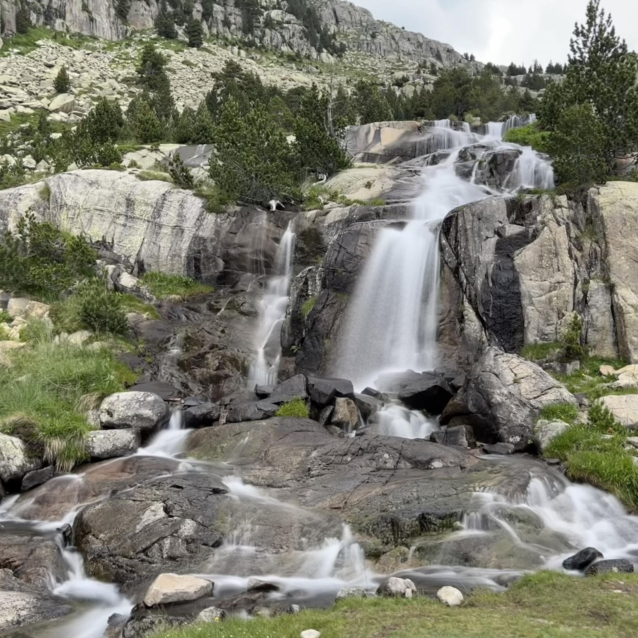
The terrain is characteristic of the Pyrenees, featuring rugged, unpaved paths within a high-mountain environment. You'll encounter granite and porphyry rock formations, with routes often traversing diverse topography and offering stunning views of glacial lakes and peaks like Tuc de Roques Negres.
Are there any easy jogging routes in the Estany de Tumeneia de Dalt area?
The jogging routes around Estany de Tumeneia de Dalt are predominantly classified as difficult due to the high-mountain terrain and significant elevation changes. There are no routes currently listed as easy or moderate, so a good level of fitness and sure-footedness is recommended.
What are some notable natural features I'll see while jogging?
The region is renowned for its breathtaking glacial lakes, including Estany de Tumeneia de Dalt itself, and other pristine bodies of water. You'll also be surrounded by impressive Pyrenean peaks such as Tuc de Roques Negres, Pa de Sucre, and the Serra de Tumeneia, providing dramatic backdrops for your run.
Are there any circular jogging routes available?
Yes, several routes offer circular options. For instance, the Lake Major of Colomers – Estany Mort loop from Arriu dera Montanheta is a challenging 8.5 km path that provides views of multiple high-mountain lakes. Another option is the Estanh dera Lòssa – Colomèrs Refuge loop from Refugi de Colomèrs, a 3.4 km trail through a high-mountain environment.
What is the best season for jogging around Estany de Tumeneia de Dalt?
The best time for jogging is typically during the warmer months, from late spring to early autumn, when trails are clear of snow and ice. The high altitude means conditions can change rapidly, so always check local weather forecasts. Winter jogging is possible but requires specialized gear and experience due to snow and potentially icy conditions.
Are there any routes that pass by waterfalls?
Yes, the Estany de Llebreta – Sant Esperit Waterfall loop from la Vall de Boí is a challenging 14 km route that includes the beautiful Sant Esperit Waterfall, offering a refreshing sight during your run.
Can I find routes suitable for altitude training?
Absolutely. Situated at an altitude of approximately 2,315 meters, with trails ranging between 900 and 2,300 meters in the broader region, Estany de Tumeneia de Dalt provides excellent conditions for endurance and altitude training. The challenging nature of the routes further enhances this benefit.
Are there any routes that connect to mountain refuges?
Many routes in the area connect to mountain refuges, which can serve as convenient starting points, rest stops, or even overnight stays for longer excursions. For example, the Estanh dera Lòssa – Colomèrs Refuge loop from Refugi de Colomèrs directly involves a refuge.
What is a good challenging route for experienced runners?
For experienced runners looking for a significant challenge, the Summit of Tuc de Ratera loop from Arriu dera Montanheta is an excellent choice. This difficult 16.1 km route involves over 1000 meters of elevation gain, offering panoramic views from the summit.
Where can I find parking for these jogging routes?
Access to the Aigüestortes i Estany de Sant Maurici National Park, where these routes are located, typically involves designated parking areas at the park entrances or nearby villages. It's advisable to check specific access points and parking regulations for the particular trailhead you plan to use, as some areas may have limited access or require shuttle services during peak seasons.
What do other runners enjoy most about jogging here?
Runners frequently praise the stunning high-mountain landscapes, the pristine glacial lakes, and the invigorating challenge of the Pyrenean terrain. The opportunity to experience such dramatic natural beauty while pushing their limits is a common highlight for those who explore these trails.
Most popular routes around Estany de Tumeneia de Dalt

Get inspired with the komoot mobile app


Explore more
Browse the best Running Trails & Routes in other regions.
