The best walks and hikes around Toberhewny
4.1
(19)
580
hikers
23
hikes
Hiking trails around Toberhewny are primarily found in nearby parklands and around lakes, offering accessible outdoor experiences. The landscape is characterized by relatively flat terrain with minimal elevation changes, making it suitable for leisurely walks. Routes often feature paved or well-maintained paths circling water bodies and through managed green spaces. The area provides opportunities for easy hikes within a park setting.
Best hiking trails around Toberhewny
- The most popular hiking route is Craigavon Balancing Lakes loop from Craigavon, a…
Last updated: July 11, 2026
85
hikers
3.70km
00:56
10m
10m
Easy hike. Great for any fitness level. Easily-accessible paths. Suitable for all skill levels.
73
hikers
5.36km
01:22
20m
20m
Easy hike. Great for any fitness level. Easily-accessible paths. Suitable for all skill levels.

Sign up for free
52
hikers
4.73km
01:13
20m
20m
Easy hike. Great for any fitness level. Easily-accessible paths. Suitable for all skill levels.
13
hikers
3.25km
00:50
10m
10m
Easy hike. Great for any fitness level. Easily-accessible paths. Suitable for all skill levels.
11
hikers
3.76km
00:58
20m
20m
Easy hike. Great for any fitness level. Easily-accessible paths. Suitable for all skill levels.
Get access to more routes and recommendations from other explorers.
Sign up for free
Already have an account?
Our route recommendations are based on thousands of hikes, rides, and runs completed by other people on komoot.
Start today with a free account
Your next adventure awaits.
Login or Signup

Tips from the Community

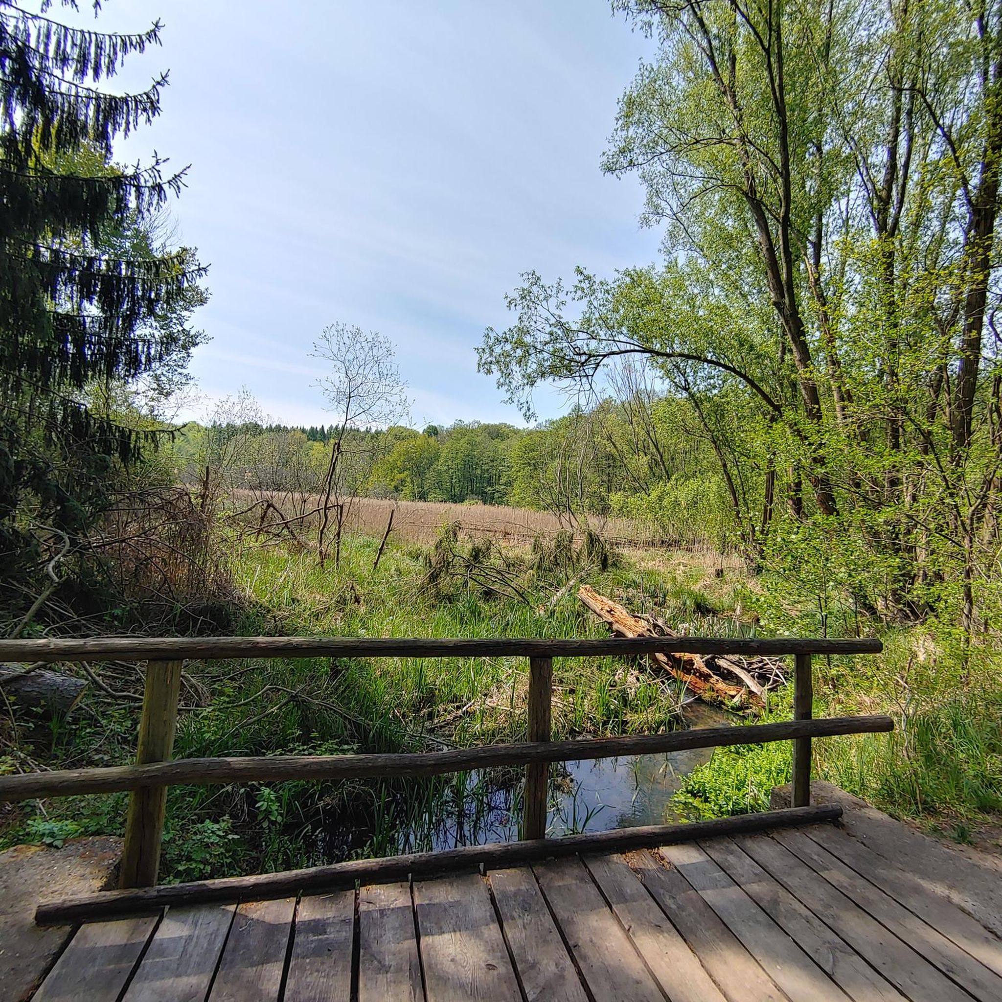
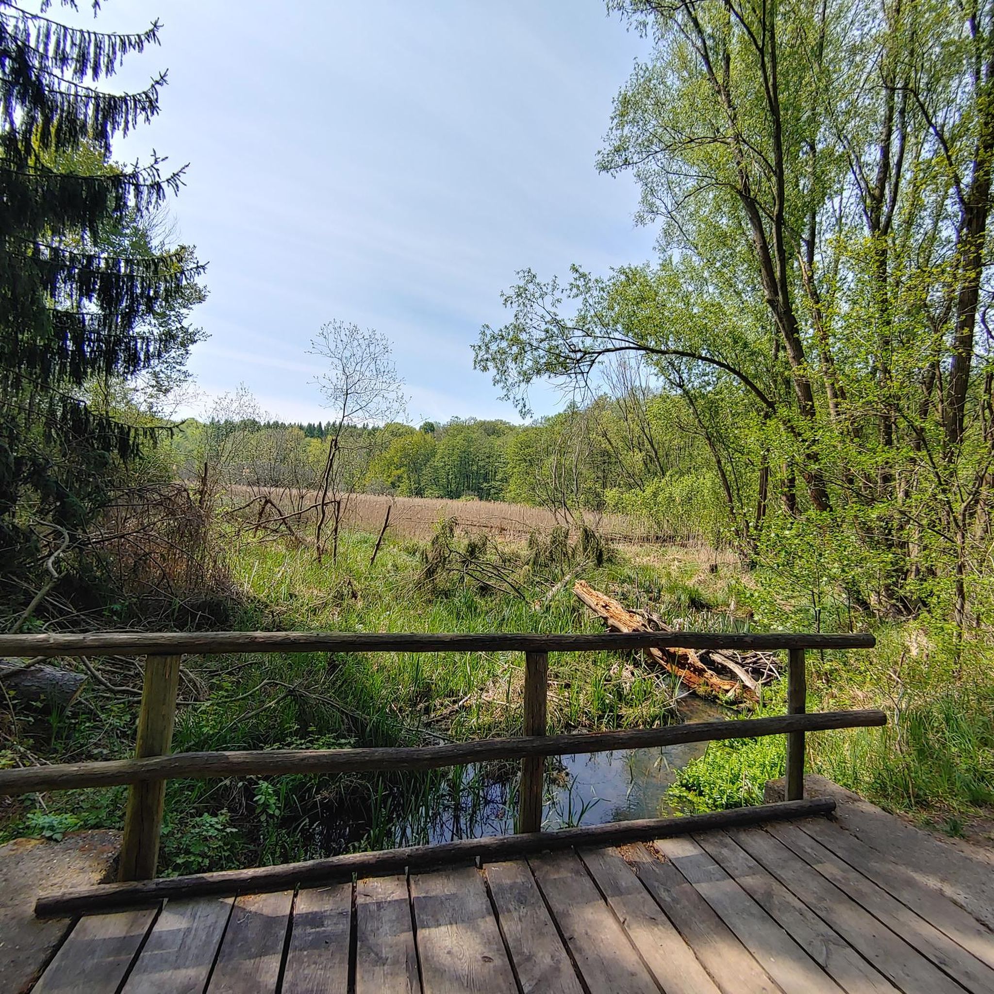
The paths are wide and perfect for families, as there are no cars to disturb you. As you glide along the car-free cycling and hiking trails, you can enjoy the view of the water - especially when the sky is cloudy, the lake has a very special atmosphere, almost mystical. The route is mostly asphalt, but there are also some gravel sections that provide some variety. These single-track paths add a certain challenge to the route without being really demanding. Ideal if you prefer to take it easy, but still don't want to just walk on smooth asphalt. If you want to take a break, the lake offers many corners to catch your breath and have a picnic. There is enough space on the banks to rest a bit and enjoy the surroundings to the fullest.
0
0

The waterwheel at Craigavon Lakes is a historical landmark. It was purchased by the council in the 70s from the south of the Province and refurbished to provide energy to the local people. The wheel never got into full swing because of the lack of waterflow, however, in recent years the wheel has been seen turning for the first time!
2
0
Craigavon Balancing Lakes, referred locally as 'The Lakes' are a set of man-made lakes built in the 1970s to control flooding. The route around the lakes is entirely flat and follows a mixture of paved and gravel paths close to the shoreline, which creates some wonderful water views as you jog along.
2
0

A pretty lake with a lovely path for cycling / walking around. The lake is also popular with anglers.
1
0
Similarly to a reservoir, these balancing lakes function as a water store. However, instead of storing the water for the purposes of consumption it is utilised to temporarily store flood waters. As the surrounding areas become more built up with hard surfaces, less rain excess water is stored by soil resulting in it routing quicker into the rivers. These balancing lakes help by reducing the volume of rain water reaching the rivers, which prevents flooding. And more importantly for cyclists it has the great byproduct of providing a pretty feature for MTB trails to be built around!
1
0

Craigavon Lakes with family friendly, traffic free, cycle and walking paths and even some single-track gravel paths.
0
0
Test your pumping, cornering and jumping skills on this short little pump track
1
0
Frequently Asked Questions
How many hiking trails are available around Toberhewny?
There are over 20 hiking trails around Toberhewny, primarily offering easy routes through parklands and around lakes. Most of these trails are suitable for leisurely walks with minimal elevation changes.
What kind of terrain can I expect on hikes in Toberhewny?
The hiking trails around Toberhewny are characterized by relatively flat terrain with minimal elevation changes. You'll find mostly paved or well-maintained paths, often circling water bodies and passing through managed green spaces, making them ideal for easy and accessible outdoor experiences.
Are there any circular hiking routes in Toberhewny?
Yes, many of the trails around Toberhewny are circular routes. For example, the Craigavon Balancing Lakes loop from Craigavon offers a pleasant circuit, as does the Pavilion in the Park loop from Lurgan.
Are the hiking trails in Toberhewny suitable for families with children?
Absolutely. The trails around Toberhewny are predominantly easy, with flat, well-maintained paths, making them very suitable for families. Routes like the Craigavon Lakes – Craigavon Balancing Lakes loop from Craigavon are perfect for a relaxed family outing.
What attractions or landmarks can I see along the hiking trails?
While hiking around Toberhewny, you can explore several points of interest. Many routes feature the beautiful Craigavon Lakes and Lurgan Park Lake. You might also encounter the historic Moyallan Pillbox or the Wave Sculptures Overlooking Lough Neagh, which is a significant natural feature in the wider area.
What do other hikers enjoy most about the trails in Toberhewny?
The trails in Toberhewny are highly rated by the komoot community, with an average score of 4.25 stars from over 25 reviews. Hikers often praise the accessibility, the pleasant lake circuits, and the well-maintained parkland paths that are suitable for all ability levels.
Are there any challenging hikes in Toberhewny?
The hiking routes around Toberhewny are primarily easy, with 20 out of 24 trails classified as such. There are 4 moderate routes, but no difficult trails, making the area best suited for those seeking gentle walks rather than challenging climbs.
Is there public transport access to the trails in Toberhewny?
While specific public transport details for each trailhead are not available, many of the popular routes, such as those around Craigavon and Lurgan, are located within or very close to urban areas, suggesting potential access via local bus services. We recommend checking local transport schedules for specific starting points.
Are there any trails with good viewpoints in Toberhewny?
Many trails offer open views, particularly those circling the lakes. For instance, the routes around Craigavon Lakes and Lurgan Park Lake provide scenic vistas across the water and surrounding parkland.
What is the longest easy hike available in Toberhewny?
The longest easy hike is the Craigavon Balancing Lakes loop from Craigavon, which covers 5.8 kilometers (3.6 miles) and typically takes about 1 hour and 28 minutes to complete.
Are there any historical sites to explore while hiking?
Yes, you can discover historical elements like the Moyallan Pillbox, a historical site that can be incorporated into your hiking plans, offering a glimpse into the region's past.
Most popular attractions around Toberhewny

Get inspired with the komoot mobile app


Explore more
Browse the best Hikes in other regions.
