The best road cycling routes around Loughermore
145
riders
8
rides
Road cycling around Loughermore offers routes through an upland area characterized by extensive forest and elevated terrain. The region provides panoramic views, including Lough Foyle and distant Donegal hills, from its higher points. Loughermore Forest, covering 1400 hectares, features a mix of coniferous and broadleaf sections, with existing roads forming the basis for cycling. This landscape provides varied ascents and descents for road cyclists.
Best road cycling routes around Loughermore
- The most popular road cycling route is Park loop from…
Last updated: July 12, 2026
8
riders
56.3km
02:29
530m
530m
Moderate road ride. Good fitness required. Mostly well-paved surfaces and easy to ride.
3
riders
41.4km
02:03
430m
430m
Moderate road ride. Good fitness required. Mostly well-paved surfaces and easy to ride.

Sign up for free
3
riders
48.2km
02:21
530m
530m
Moderate road ride. Good fitness required. Mostly well-paved surfaces and easy to ride.
3
riders
31.3km
01:24
310m
310m
Moderate road ride. Good fitness required. Some segments of this route may be unpaved and difficult to ride.
2
riders
33.1km
02:00
530m
530m
Moderate road ride. Good fitness required. Mostly well-paved surfaces and easy to ride.
Get access to more routes and recommendations from other explorers.
Sign up for free
Already have an account?
Our route recommendations are based on thousands of hikes, rides, and runs completed by other people on komoot.
Start today with a free account
Your next adventure awaits.
Login or Signup
Popular around Loughermore

Tips from the Community

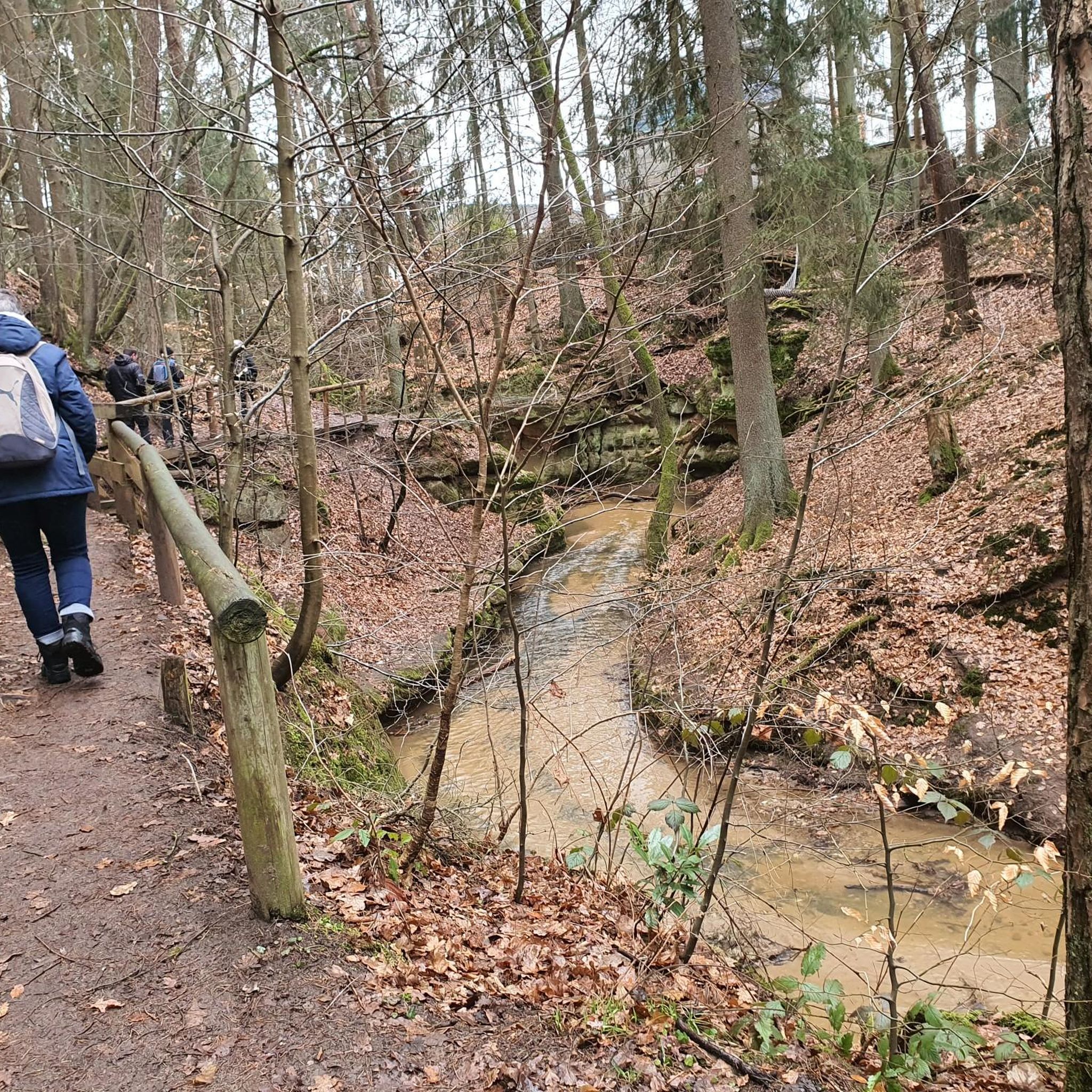
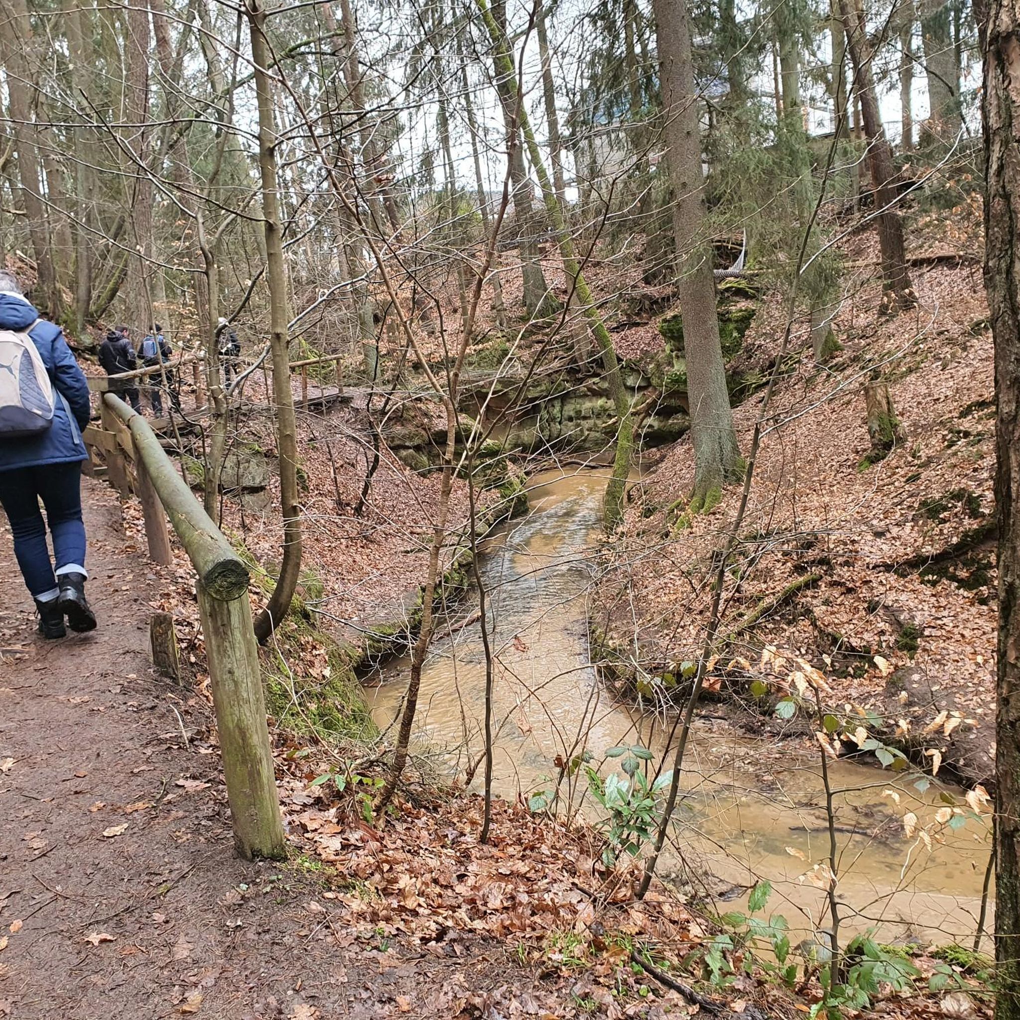
Learmount Wood is located at the foothills of the northern face of the Sperrins in Northern Ireland. The forest features a wonderful diversity of tree species, including some that have been there for over 100 years. It's a beautiful place for a stroll, featuring a stream and an abandoned mansion dating back to the 1830s.
1
0

Altinaghree Castle is also known as Liscloon House and it thought to have been built in 1860 by William Ogilby
1
0
Frequently Asked Questions
What is the typical difficulty level for road cycling routes in Loughermore?
Road cycling in Loughermore is characterized by its upland terrain, offering varied ascents and descents. Most routes are classified as moderate, with 8 out of 9 available routes falling into this category. There is also one difficult route for experienced cyclists seeking a greater challenge. You can expect rewarding climbs and descents throughout the area.
What scenic views or historical landmarks can I expect to see while cycling in Loughermore?
Loughermore's upland location provides extensive views, including panoramic vistas over Lough Foyle and the distant Donegal hills from its higher points. The area is also rich in history, featuring numerous Neolithic monuments such as wedge tombs, barrows, stone circles, and ring-marked stones, which can be points of interest during your ride.
What are the typical distances and durations for road cycling routes in Loughermore?
The road cycling routes in Loughermore vary in length and duration. For instance, the Park loop from Ballykelly is approximately 56.3 km (35.0 miles) and takes around 2 hours 29 minutes. A shorter option like the Learmount Wood loop from Claudy covers about 31.3 km (19.4 miles) in roughly 1 hour 24 minutes.
Are there many circular road cycling routes available in Loughermore?
Yes, many of the road cycling routes in Loughermore are designed as loops, allowing you to start and finish in the same location. Examples include the Rough Fort loop from Eglinton and the Roadbike loop from Feeny, providing convenient circular journeys through the landscape.
What is the best time of year for road biking in Loughermore?
While specific seasonal recommendations are not provided, Loughermore's upland environment suggests that spring, summer, and early autumn would offer the most favorable weather conditions for road cycling. These seasons typically provide milder temperatures and clearer views, enhancing the overall experience.
Are there any family-friendly road cycling options in Loughermore?
Given the prevalence of moderate to difficult routes and the upland terrain with significant elevation changes, Loughermore's road cycling routes are generally more suited for cyclists with some experience. There are currently no routes specifically classified as easy, which might be more appropriate for younger or less experienced family members.
Can I bring my dog on the road cycling routes in Loughermore?
While dogs are generally welcome in outdoor areas, road cycling routes typically follow public roads where dogs should be kept on a lead for their safety and the safety of other road users. It's always advisable to check local regulations for Loughermore Forest regarding dogs, especially if you plan to explore off-road sections.
Where can I find parking for road cycling routes in Loughermore?
Specific parking locations for individual routes are not detailed, but as Loughermore Forest is crisscrossed by roads, it's likely that parking is available at common access points or trailheads. It's recommended to check the starting points of specific routes on komoot for parking information, or look for designated car parks near towns like Ballykelly, Eglinton, or Claudy, which serve as starting points for many routes.
Are there any cafes or pubs near the Loughermore cycling routes?
The region around Loughermore, including nearby towns like Claudy, Limavady, Ballykelly, and Eglinton, would offer options for cafes and pubs. While not directly on the routes, these towns serve as excellent starting or finishing points where you can find refreshments and local hospitality after your ride.
What kind of forest environment will I encounter while cycling in Loughermore?
Loughermore Forest, covering 1400 hectares, features a diverse environment. While predominantly coniferous with Sitka spruce and Lodgepole pine, you will also find corridors of mixed broadleaves, creating varied scenery and habitats throughout your ride.
How many road cycling routes are available in the Loughermore area?
There are 9 road cycling routes available in the Loughermore area, offering a range of experiences for cyclists. These routes are primarily moderate in difficulty, with one challenging option for those seeking a more strenuous ride.
What makes Loughermore a good destination for road cycling?
Loughermore offers a compelling destination for road cycling due to its scenic upland landscapes, elevated terrain, and strategic location bordering the North Sperrins Area of Outstanding Natural Beauty. The existing road infrastructure through the 1400-hectare forest provides varied ascents and descents, panoramic views, and a sense of immersion in a natural, historical landscape.
Most popular routes around Loughermore

Get inspired with the komoot mobile app


Explore more
Browse the best Road cycling routes in other regions.
