The best running trails around Gadloch
4.5
(153)
19,597
runners
405
runs
Jogging around Gadloch offers a diverse range of routes that explore both historical sites and natural landscapes. The region is characterized by the flat, accessible towpaths of the Forth and Clyde Canal, the undulating terrain near the ancient Antonine Wall, and tranquil wooded areas such as Boghead Wood. Runners can find trails that range from easy, level paths suitable for beginners to more challenging routes with gentle ascents.
Best jogging routes around Gadloch
- The most popular jogging route is View…
Last updated: October 9, 2026
134
runners
Hard run. Very good fitness required. Mostly paved surfaces. Suitable for all skill levels.
114
runners
Hard run. Very good fitness required. Mostly paved surfaces. Suitable for all skill levels.

5.0
(1)
51
runners
26.0km
02:49
240m
240m
Hard run. Very good fitness required. Mostly paved surfaces. Suitable for all skill levels.
26
runners
9.96km
01:03
40m
40m
Moderate run. Good fitness required. Mostly paved surfaces. Suitable for all skill levels.
10
runners
5.62km
00:35
30m
30m
Moderate run. Good fitness required. Mostly paved surfaces. Suitable for all skill levels.
Get access to more routes and recommendations from other explorers.
Already have an account?
Our route recommendations are based on thousands of hikes, rides, and runs completed by other people on komoot.
Start today with a free account
Your next adventure awaits.
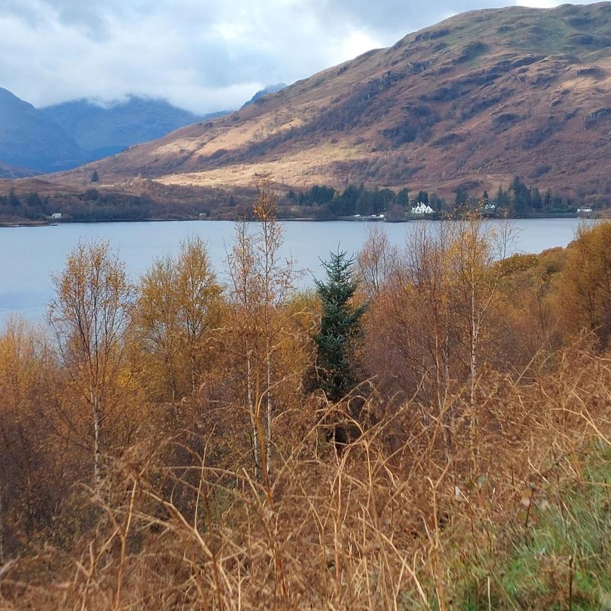
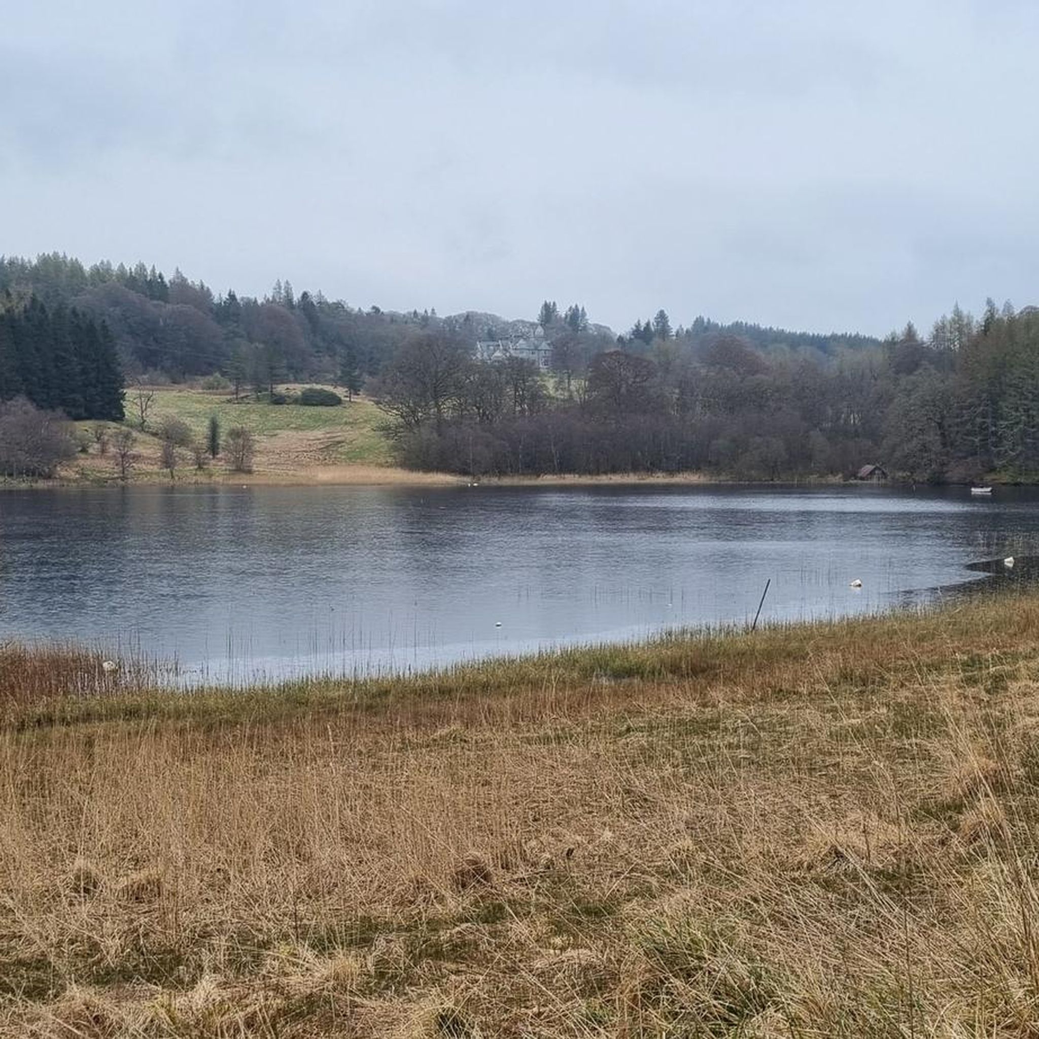
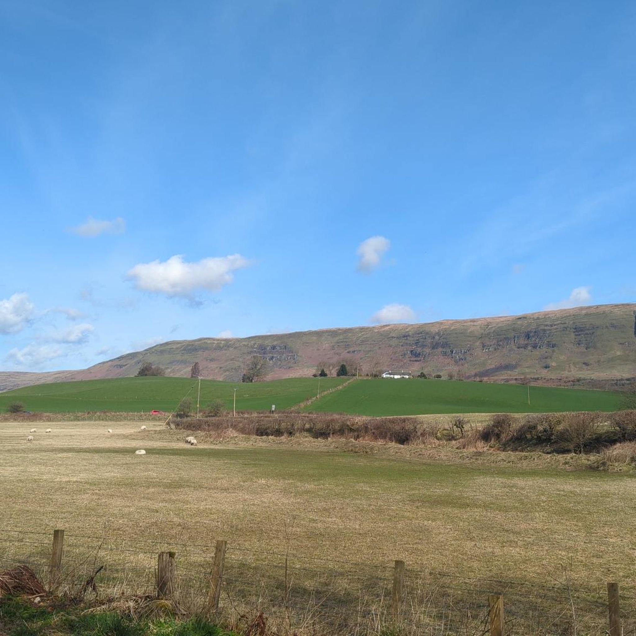
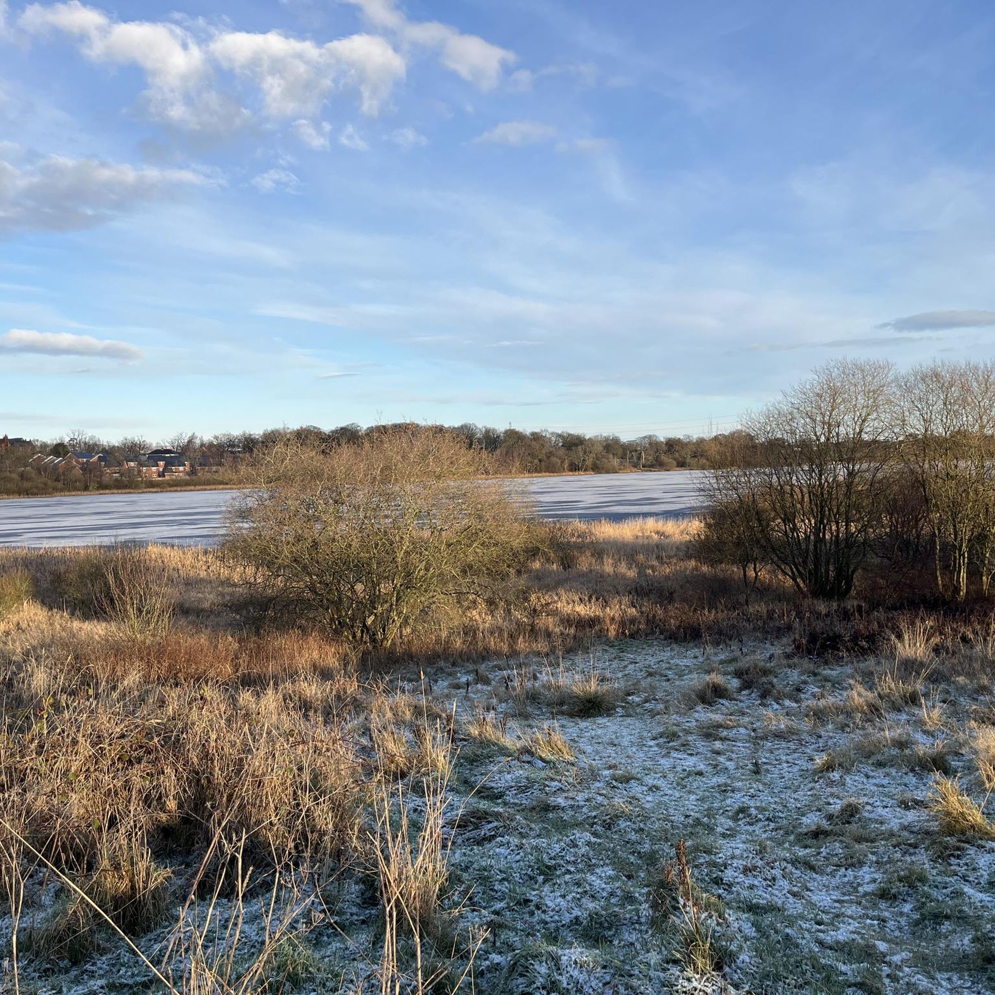
Tips from the Community

Great way to get across Southern Scotland, nice and flat although some parts can get very bumpy with tree roots
0
1


Vintage Inn country pub with large beer garden next to canal. Very dog-friendly
0
0
Cadder Parish Church of Scotland. There's a carpark next to the canal so you can start/finish the walk there, or further along the canal
0
0

On a nice day it’s the perfect little spot to take a wee break and grab a bite or a drink. It’s situated right on the tow path so you don’t need to worry about finding it!
0
0

The Antonine Wall was a turf wall, built on stone foundations by the Romans, about 20 years after Hadrian's Wall. It stretches from coast to coast across the central belt of Scotland. Croy Hill was a minor fort on the wall.
0
0
Frequently Asked Questions
Are there easy running routes suitable for beginners around Gadloch?
Yes, Gadloch offers a good selection of easy running routes. There are 41 easy tours available, characterized by flat, accessible paths, particularly along the Forth and Clyde Canal towpaths. These are perfect for those new to running or looking for a relaxed jog.
What is the typical length of running trails in the Gadloch area?
The running trails around Gadloch vary in length, catering to different preferences. You'll find routes ranging from around 5.8 miles (9.3 km) to longer runs like the Antonine Wall at Bar Hill – Croy Hill Roman Fort loop from Lenzie, which is 16.1 miles (26.0 km).
Is parking available near the running routes in Gadloch?
Many of the running routes in the Gadloch area, particularly those starting from Lenzie or East Dunbartonshire, are accessible from residential or town areas where public parking options are generally available. It's advisable to check local parking regulations or specific starting points for the route you plan to run.
Can I reach the jogging trails around Gadloch using public transport?
Yes, many of the starting points for jogging routes around Gadloch, such as Lenzie, are well-connected by public transport, including train and bus services. This makes it convenient to access the trails without a car.
Are there family-friendly running routes in Gadloch?
Absolutely. The flat and well-maintained canal towpaths, such as those featured in the Hungryside Bridge – Forth and Clyde Canal loop from Lenzie, are ideal for families. These routes offer safe and enjoyable environments for a run or walk with children.
Are dogs allowed on the running trails in Gadloch?
Many of the running trails around Gadloch, especially those in natural areas and along canal paths, are dog-friendly. However, it's always recommended to keep dogs on a leash, especially near livestock or in busier areas, and to clean up after them to ensure a pleasant experience for everyone.
What is the best time of year for running in Gadloch?
Gadloch offers enjoyable running conditions throughout the year. Spring and autumn provide pleasant temperatures and beautiful scenery. Summer is great for longer daylight hours, while winter runs can be invigorating, especially on the well-maintained towpaths. Always check local weather conditions before heading out.
Are there any circular running routes in the Gadloch area?
Yes, many of the popular running routes around Gadloch are circular, allowing you to start and finish at the same point. Examples include the View of the Campsie Fells – Forth and Clyde Canal Towpath loop from Lenzie and the Antonine Wall loop from Lenzie.
What kind of terrain can I expect on the running trails around Gadloch?
The terrain around Gadloch is quite varied. You'll find flat, accessible towpaths along the Forth and Clyde Canal, undulating sections near the historic Antonine Wall, and tranquil wooded areas like those on the Boghead Wood loop from East Dunbartonshire. This mix provides options for different running preferences.
What do other runners enjoy most about jogging in Gadloch?
The running routes in Gadloch are highly rated by the komoot community, with an average score of 4.6 stars from over 100 reviews. Reviewers often praise the diverse scenery, from canal views to historical sites, and the variety of routes suitable for different fitness levels.
How many jogging routes are available in the Gadloch region?
There are over 400 jogging routes available in the Gadloch region on komoot, offering a wide array of choices for runners of all abilities and preferences.
Are there any historical landmarks to see while running in Gadloch?
Yes, the Gadloch area is rich in history. Several running routes incorporate sections of the ancient Antonine Wall, a UNESCO World Heritage Site. For example, the Antonine Wall at Bar Hill – Croy Hill Roman Fort loop from Lenzie takes you through significant Roman fort sites, offering a unique historical backdrop to your run.
Most popular routes around Gadloch

Get inspired with the komoot mobile app


Explore more
Browse the best Running Trails & Routes in other regions.
