The best mountain hikes around Zoggler-Stausee - Lake artificiale di Zoccolo
4.9
(67)
601
hikers
47
hikes
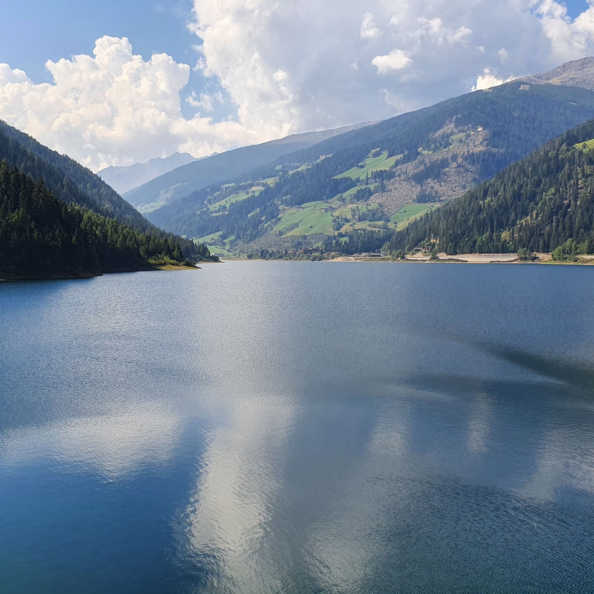
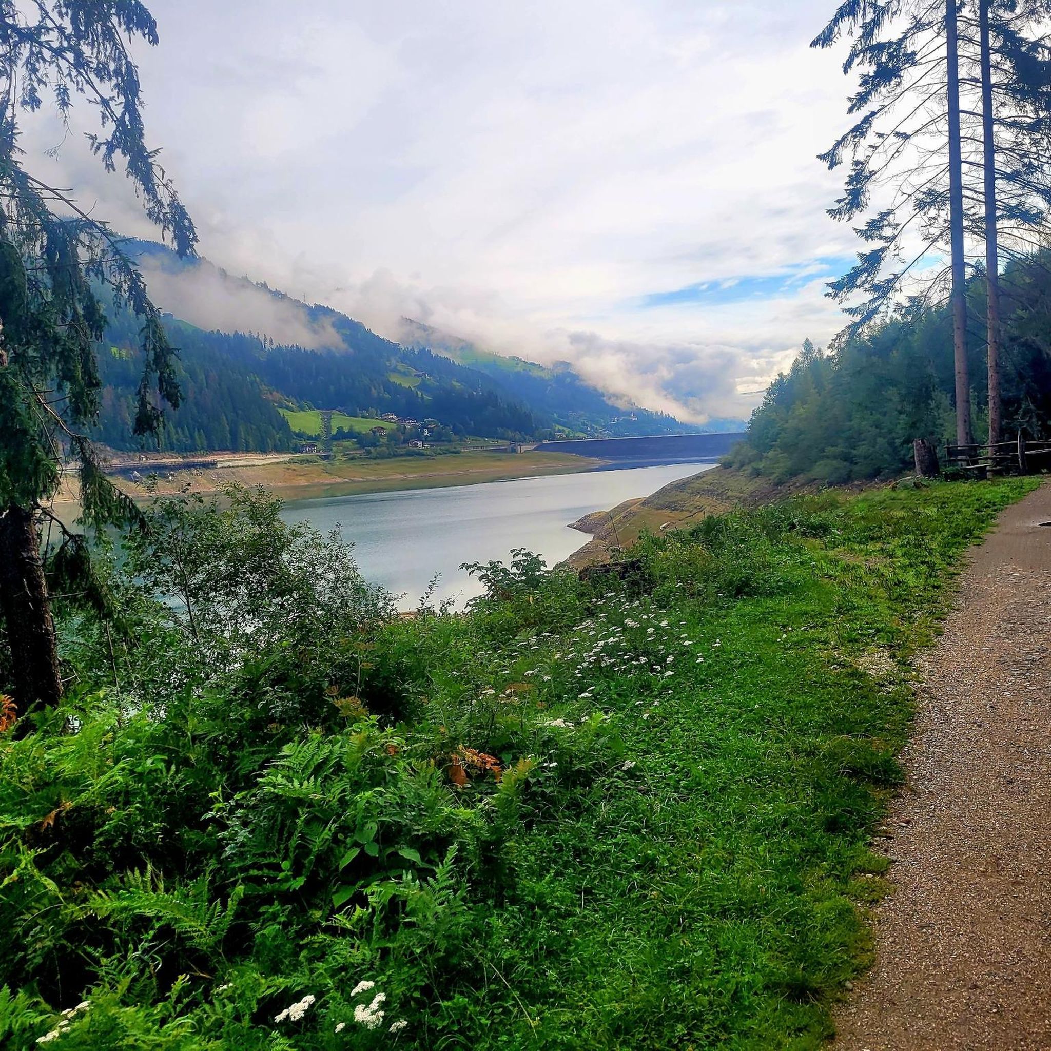
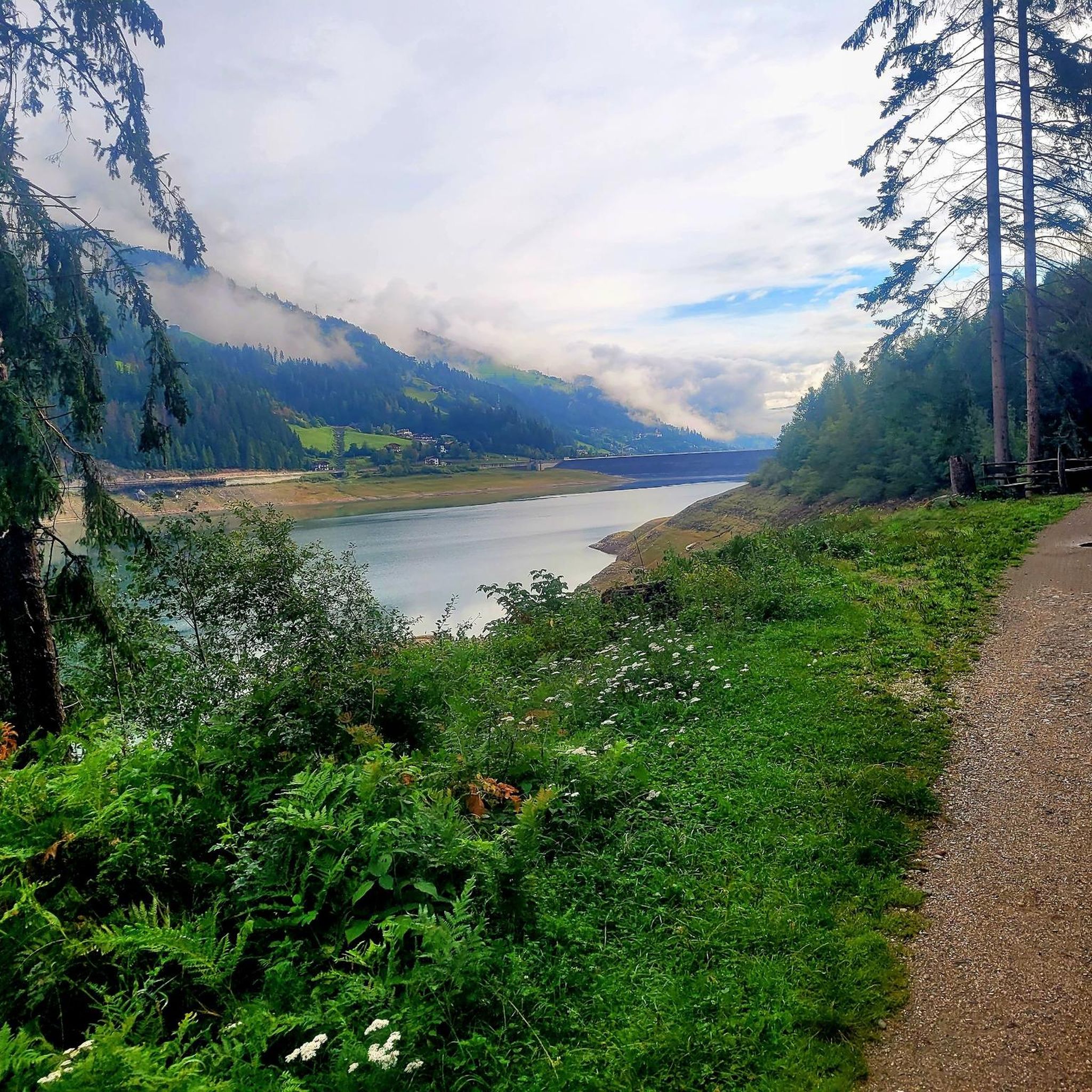
Mountaineering routes around Zoggler-Stausee - Lake artificiale di Zoccolo are set within the traditional Ulten Valley, characterized by an alpine landscape. The region features the artificial Zoggler-Stausee, a large reservoir fed by mountain waters, and an impressive dam wall near Santa Valburga. This area offers diverse terrain, from lakeside paths to challenging mountain ascents, with proximity to Stilfserjoch National Park providing access to higher peaks and alpine pastures.
Best mountaineering routes around Zoggler-Stausee - Lake artificiale di Zoccolo
- The most popular mountaineering route is Segrüet Alm loop from St. Walburg - Santa Valburga, a 8.4 miles (13.4 km) trail that takes 5 hours 37 minutes to complete. This difficult route ascends to alpine pastures, offering expansive views.
- Another top favourite among local mountaineers is View of Zoggler Reservoir loop from Zoggler-Stausee - Lago artificiale di Zoccolo, a difficult 11.4 miles (18.4 km) path. This route provides panoramic views of the reservoir and surrounding alpine scenery.
- Local mountaineers also love the Segrüet Alm – Gipfel der Ultner Hochwart loop from St. Walburg - Santa Valburga, a 8.5 miles (13.7 km) trail leading through alpine terrain, often completed in about 8 hours 30 minutes.
- Mountaineering around Zoggler-Stausee - Lake artificiale di Zoccolo is defined by alpine valleys, high mountain peaks, and the artificial lake, with routes ranging from moderate to difficult. The network offers options for various ability levels, including challenging ascents to summits.
- The routes in Zoggler-Stausee - Lake artificiale di Zoccolo are highly rated by the komoot community with an average score of 4.9 stars from over 70 reviews. More than 600 mountaineers have used komoot to explore Zoggler-Stausee - Lake artificiale di Zoccolo's varied terrain.
Last updated: July 4, 2026
5
hikers
18.4km
08:08
1,480m
1,480m
Hard mountaineering route. Very good fitness required. Mostly accessible paths. Sure-footedness required.
5
hikers
13.7km
08:31
1,480m
1,480m
Hard mountaineering route. Very good fitness required. Sure-footedness, sturdy shoes and alpine experience required.

Sign up for free
14
hikers
Moderate mountaineering route. Good fitness required. Mostly accessible paths. Sure-footedness required.
5.0
(2)
9
hikers
Hard mountaineering route. Very good fitness required. Mostly accessible paths. Sure-footedness required.
5.0
(1)
5
hikers
Hard mountaineering route. Very good fitness required. Mostly accessible paths. Sure-footedness required.
Get access to more routes and recommendations from other explorers.
Sign up for free
Already have an account?
Our route recommendations are based on thousands of hikes, rides, and runs completed by other people on komoot.
Start today with a free account
Your next adventure awaits.
Login or Signup
Popular around Zoggler-Stausee - Lake artificiale di Zoccolo
Hiking around Zoggler-Stausee - Lake artificiale di Zoccolo
MTB Trails around Zoggler-Stausee - Lake artificiale di Zoccolo
Running Trails around Zoggler-Stausee - Lake artificiale di Zoccolo
Cycling around Zoggler-Stausee - Lake artificiale di Zoccolo
Road Cycling Routes around Zoggler-Stausee - Lake artificiale di Zoccolo

Gravel biking around Zoggler-Stausee - Lake artificiale di Zoccolo
Tips from the Community

Beautifully located alpine hut, very rustic and with South Tyrolean coziness. Good food and drinks, a stop here is highly recommended.
0
0


There was plenty of parking here in the summer
0
0

Beautiful mountain lake with relatively new tables and benches that invite you to rest
2
0

The southernmost of its lakes, the Covolo lakes, rises to 2,412 meters above sea level. Koflerseen in German, the Covolo lakes are located above the town of Riva di Tures and are surrounded by the Rieserferner Group.
1
1

The trip up is worth it. Great hiking options in all directions from the top. There is a direct bus connection at the valley station and a large free car park
0
0

Stunning views of the Gran Ladro and, in the distance, the Kühberg Alm, where the majestic mountain peaks blend harmoniously with the green Alpine pastures. This enchanting landscape offers a breathtaking panorama that invites you to immerse yourself in the nature of the Alps, perfect for those who love the mountains.
1
0
Above Santa Valburga and the Zoccolo reservoir, this trail offers a splendid view of the Val d'Ultimo and its mountains. Here you are surrounded by the daisies of the south-eastern Ortles Group and the Stelvio National Park.
0
0
Frequently Asked Questions
How many mountaineering routes are available around Zoggler-Stausee - Lake artificiale di Zoccolo?
There are over 50 mountaineering routes around Zoggler-Stausee - Lake artificiale di Zoccolo. These routes range from moderate to difficult, offering diverse terrain for various skill levels.
What kind of terrain can I expect on mountaineering routes in the Zoggler-Stausee area?
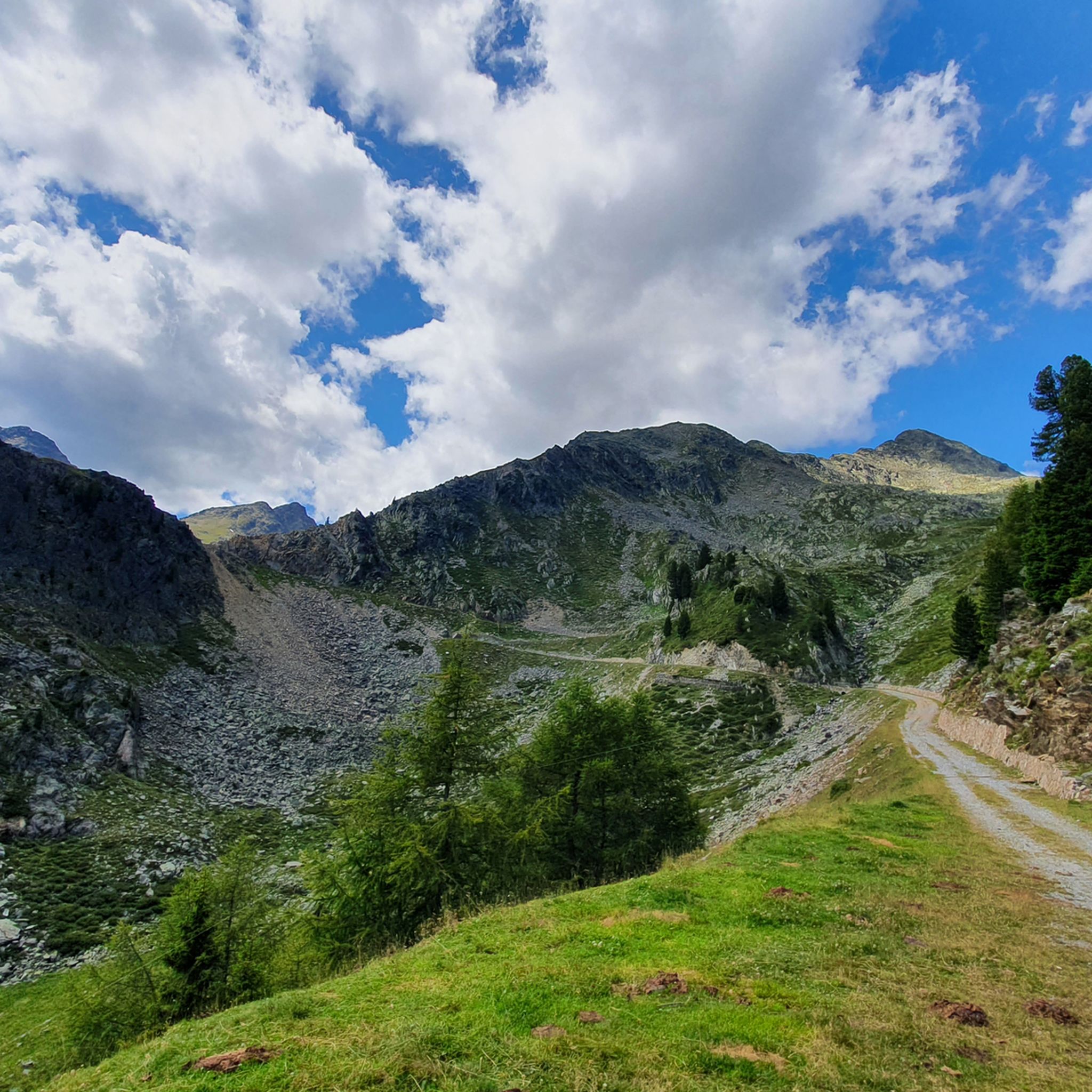
The terrain around Zoggler-Stausee is characterized by alpine valleys, high mountain peaks, and the artificial lake itself. You'll find paths leading through traditional farms, ancient larch forests, and up to alpine pastures, with challenging ascents to summits. The area is nestled within the stunning alpine environment of the Val d'Ultimo, offering panoramic views.
Are there any circular mountaineering routes around Zoggler-Stausee?
Yes, many routes in the area are circular. For example, the Segrüet Alm loop from St. Walburg - Santa Valburga is a difficult 13.4 km circular trail that ascends to alpine pastures, offering expansive views. Another option is the View of Zoggler Reservoir loop from Zoggler-Stausee - Lago artificiale di Zoccolo, an 18.4 km difficult path providing panoramic views of the reservoir and surrounding alpine scenery.
What are some notable landmarks or viewpoints along the mountaineering routes?
The Zoggler-Stausee itself is a prominent landmark. Many routes offer stunning views of the reservoir and its impressive dam. You can find specific viewpoints like the View of the Zoggler Reservoir and dam. The area also features traditional farms and mountain huts, such as the Spitzner Mountain Hut, which add to the cultural landscape.
Are there any family-friendly mountaineering options near Zoggler-Stausee?
While many routes are rated moderate to difficult, the area offers a range of paths. For families, consider starting with sections of trails that lead to alpine pastures or exploring the more accessible paths around the lake. The Kneipp Oases Trail along the lakeshore offers a relaxing experience after a mountain excursion, which can be a good complement to shorter, less strenuous walks.
What is the best time of year for mountaineering around Zoggler-Stausee?
Zoggler-Stausee is a popular destination throughout the year. For mountaineering, the warmer months from late spring to early autumn are generally best, offering clear paths and favorable weather conditions for higher alpine ascents. Always check local weather forecasts and trail conditions before heading out.
Are there any mountain huts or places to rest along the trails?
Yes, several trails from the dam wall lead to alpine pastures and mountain huts. The Spitzner Mountain Hut (1,833 m a.s.l.) and the Holzschlag Hut (1,572 m a.s.l.) are examples of huts that serve as excellent rest points or even starting points for longer ascents. These huts often offer refreshments and a chance to experience local alpine culture.
What do other mountaineers enjoy most about the Zoggler-Stausee area?
The area is highly rated by the komoot community, with an average score of 4.9 stars from over 70 reviews. Mountaineers often praise the diverse terrain, from lakeside paths to challenging mountain ascents, and the breathtaking natural beauty of the Val d'Ultimo, including panoramic views of the surrounding mountains and the reservoir.
Are there any particularly challenging mountaineering routes for experienced climbers?
Yes, the Zoggler-Stausee area offers several challenging routes. The Segrüet Alm – Gipfel der Ultner Hochwart loop from St. Walburg - Santa Valburga is a difficult 13.7 km trail leading through alpine terrain, often completed in about 8 hours 30 minutes, with significant elevation gain. Another demanding option is the Marschnellalm – Peilstein (2,542 m) loop from Zoggler-Stausee - Lago artificiale di Zoccolo, which covers 16.3 km and involves over 1000 meters of ascent.
What kind of preparation is needed for mountaineering in this region?
For the more challenging routes around Zoggler-Stausee, very good fitness, sure-footedness, sturdy shoes, and alpine experience are essential. Even for moderate routes, it's advisable to wear appropriate hiking gear, carry enough water and snacks, and be prepared for changing weather conditions in the mountains.
Can I find places to eat or drink near the trails?
Yes, the presence of mountain huts like Spitzner and Holzschlag suggests opportunities for refreshments. The Val d'Ultimo valley, where the lake is situated, also features traditional farms, and the nearby village of Santa Valburga would likely offer amenities such as cafes and restaurants.
Most popular routes around Zoggler-Stausee - Lake artificiale di Zoccolo
Most popular attractions around Zoggler-Stausee - Lake artificiale di Zoccolo

Get inspired with the komoot mobile app


Explore more
Browse the best Mountain Hikes & Routes in other regions.
