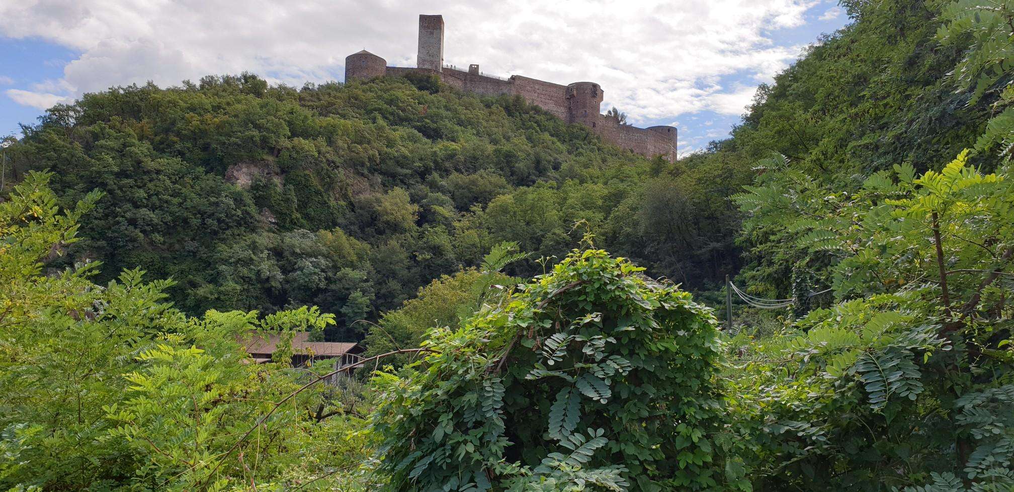
The best running trails around Ballygittle
236
runners
16
runs
Jogging around Ballygittle offers access to the diverse landscapes of County Tyrone in Northern Ireland. The region is characterized by varied topography, including rolling hills and rural countryside, providing a range of running experiences. Numerous forest parks are accessible, offering tranquil trails through woodlands. The area's natural features contribute to a network of routes suitable for different fitness levels.
Best jogging routes around Ballygittle
- The most popular jogging route is Running loop from Killycolpy ED, a 7.8 miles (12.6…
Last updated: June 27, 2026
16
runners
12.6km
01:18
60m
60m
Moderate run. Good fitness required. Mostly paved surfaces. Suitable for all skill levels.
14
runners
18.6km
01:56
100m
100m
Hard run. Very good fitness required. Mostly paved surfaces. Suitable for all skill levels.

Sign up for free
14
runners
10.0km
01:02
30m
30m
Moderate run. Good fitness required. Mostly paved surfaces. Suitable for all skill levels.
14
runners
10.0km
01:02
30m
30m
Moderate run. Good fitness required. Mostly paved surfaces. Suitable for all skill levels.
9
runners
10.1km
01:03
60m
60m
Moderate run. Good fitness required. Mostly paved surfaces. Suitable for all skill levels.
Get access to more routes and recommendations from other explorers.
Sign up for free
Already have an account?
Our route recommendations are based on thousands of hikes, rides, and runs completed by other people on komoot.
Start today with a free account
Your next adventure awaits.
Login or Signup
Popular around Ballygittle
Frequently Asked Questions
How many running routes are available around Ballygittle?
There are over 15 dedicated running routes around Ballygittle, catering to various fitness levels. These routes explore the diverse landscapes of County Tyrone, including rural countryside and accessible forest parks.
Are there any easy or beginner-friendly jogging routes in the Ballygittle area?
Yes, while many routes are moderate, there are options suitable for beginners. The region's rolling hills and rural roads offer gentler terrain for those new to running or looking for a more relaxed pace. For example, the Running loop from Ballybeg is a moderate 10 km trail through open fields and quiet roads, which can be a good starting point.
What kind of terrain can I expect on the running trails near Ballygittle?
The terrain around Ballygittle is quite varied, reflecting the diverse landscapes of County Tyrone. You can expect a mix of rural roads, paths through open fields, and trails within forest parks. Some routes, especially those closer to the Sperrin Mountains, may offer more challenging ascents and descents, while others feature gentler, rolling hills.
Are there any circular running routes available?
Yes, many of the running routes around Ballygittle are designed as loops, allowing you to start and finish in the same location. Examples include the popular Running loop from Killycolpy ED and the Running loop from Reenaderry, both offering convenient circular paths through the local scenery.
What are some interesting landmarks or points of interest I might see while jogging near Ballygittle?
While jogging, you might encounter various historical and natural points of interest. These include the ancient Mountjoy Castle, the historic Tullyhogue Fort, and the impressive Ardboe High Cross. You can also find scenic viewpoints like the Maghery Footbridge at Lough Neagh, offering glimpses of the vast lake.
Are the running routes around Ballygittle suitable for families or children?
Many of the forest parks in the wider County Tyrone area, such as Gortin Glen Forest Park and Pomeroy Forest Park, offer walking trails that are suitable for families and children, which can also be used for lighter jogging. These parks often feature amenities like playgrounds and educational trails. For specific running routes, look for those marked as 'easy' or 'moderate' for a more family-friendly experience.
Can I bring my dog on the jogging trails in Ballygittle?
Generally, dogs are welcome on many public trails and in forest parks in County Tyrone, provided they are kept under control, often on a lead, and owners clean up after them. It's always best to check specific park regulations or signage at the trailhead for any restrictions on particular routes or areas.
What is the best time of year to go jogging in Ballygittle?
The spring and autumn months often provide the most pleasant conditions for jogging in Ballygittle, with milder temperatures and beautiful scenery as the landscape changes. Summer can also be excellent, though it's advisable to run in the mornings or evenings to avoid the warmest parts of the day. Winter runs are possible, but trails may be wet or muddy, and appropriate gear is essential.
Are there challenging running routes for experienced runners?
Yes, for experienced runners seeking a challenge, the Ballygittle area offers routes with more significant elevation changes and longer distances. The Rath loop from Clonoe Park & Ride, for example, is an 18.6 km difficult path with varied elevation across the countryside, providing a demanding experience.
Where can I find parking near the jogging routes?
Many of the forest parks and trailheads in the region offer designated parking facilities. For routes starting from specific villages or rural areas, roadside parking might be available, but it's always recommended to check local signage and be mindful of residents. Information on parking is often available on individual route descriptions.
Are there any running routes that offer views of Lough Neagh?
While Ballygittle is not directly on Lough Neagh, its proximity means some routes or nearby areas can offer views of the lake. The Maghery Footbridge at Lough Neagh is a highlight that provides a viewpoint of the vast body of water, and routes in that general direction may offer glimpses or access to the lough's shores.
What do other runners enjoy most about jogging in Ballygittle?
Runners often praise the tranquil rural landscapes and the variety of experiences available, from quiet country roads to forest trails. The ability to choose routes of different difficulties and distances, combined with the natural beauty of County Tyrone, makes it a popular destination for the komoot community.
Most popular routes around Ballygittle
Most popular attractions around Ballygittle

Get inspired with the komoot mobile app


Explore more
Browse the best Running Trails & Routes in other regions.
