The best walks and hikes around Milston
4.5
(421)
4,487
hikers
124
hikes
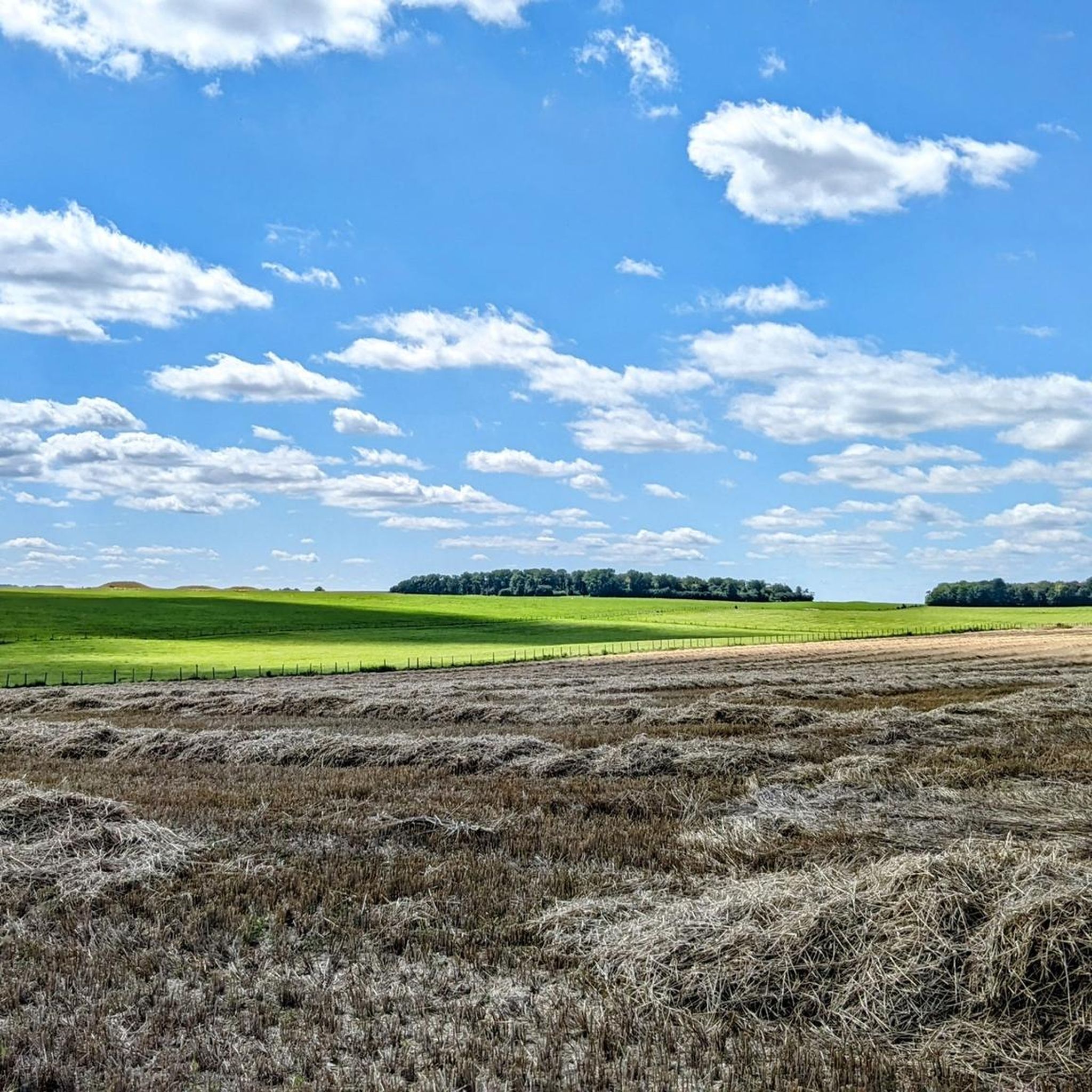
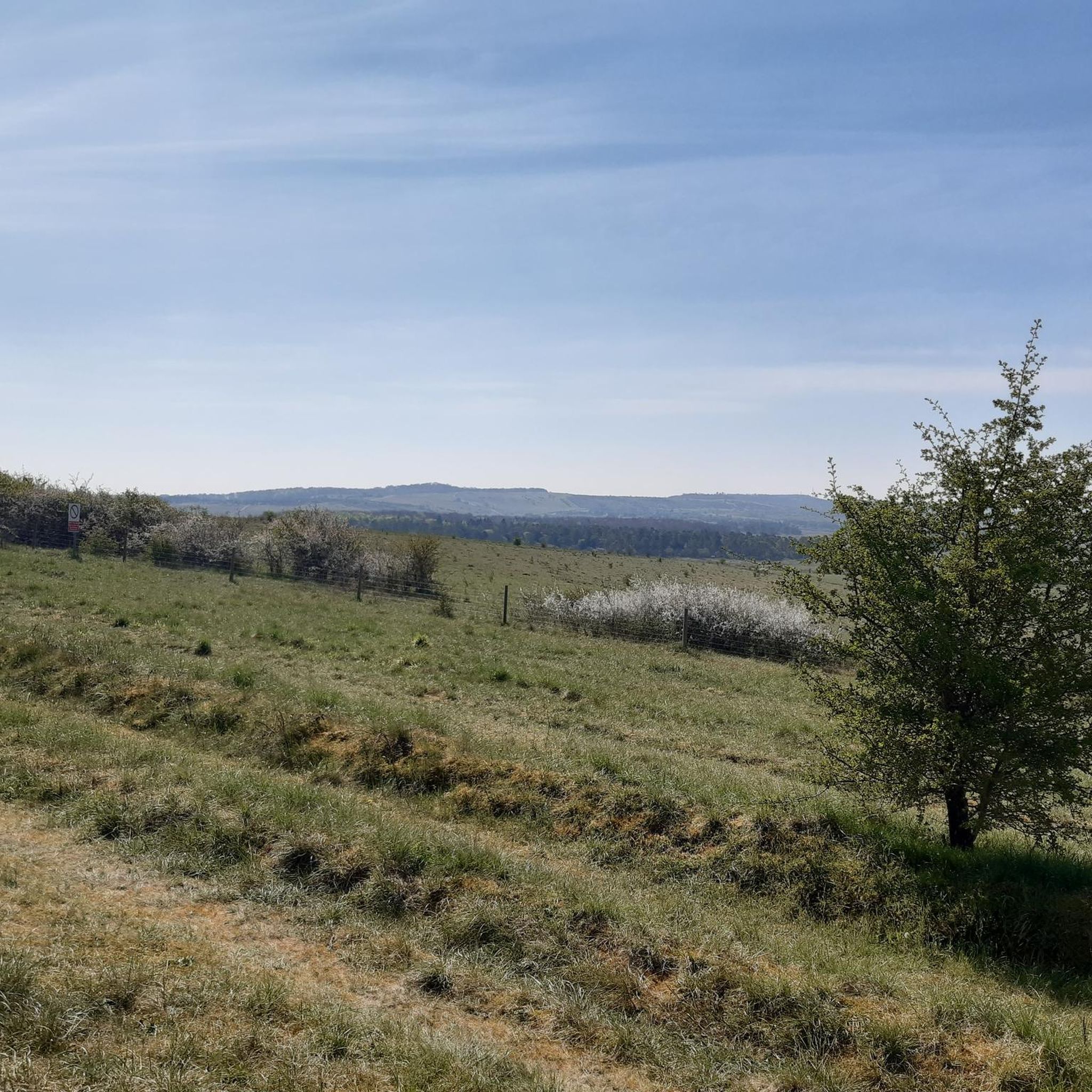
Hiking around Milston explores the rolling chalk downlands of the Salisbury Plain. The area is characterized by open grasslands and footpaths that connect numerous prehistoric monuments and historical sites. Most routes feature gentle gradients across open country, with trails suitable for a range of fitness levels. The terrain primarily consists of chalk, offering wide-open views.
Best hiking trails around Milston
- The most popular hiking route is Stonehenge – New King Barrows loop from Larkhill, a 10.6 miles (17.1 km)…
Last updated: June 27, 2026
5.0
(10)
55
hikers
8.33km
02:13
80m
80m
Moderate hike. Good fitness required. Easily-accessible paths. Suitable for all skill levels.
6
hikers
17.1km
04:32
170m
170m
Moderate hike. Good fitness required. Easily-accessible paths. Suitable for all skill levels.

Sign up for free
3.0
(1)
10
hikers
8.71km
02:17
60m
60m
Moderate hike. Good fitness required. Easily-accessible paths. Suitable for all skill levels.
9
hikers
4.57km
01:12
30m
30m
Easy hike. Great for any fitness level. Easily-accessible paths. Suitable for all skill levels.
3.0
(1)
12
hikers
4.08km
01:03
20m
20m
Easy hike. Great for any fitness level. Easily-accessible paths. Suitable for all skill levels.
Get access to more routes and recommendations from other explorers.
Sign up for free
Already have an account?
Our route recommendations are based on thousands of hikes, rides, and runs completed by other people on komoot.
Start today with a free account
Your next adventure awaits.
Login or Signup

Tips from the Community


Can someone please be happy/laughing with me that Google Translate turns Amy's "henge and timber monument" into "Denkmal für Hühner 🐔" in German? - Great 😂😂😂
0
0

Location signage, that is, how to locate the cuckoo stone, is non-existent! Once you pass through the gate next to Woodhenge you’ll see the National Trust sign. The stone lies way off to your right at about 3 o’clock direction from the sign. If the grass is long it won’t be visible!
2
0


Like the larger megaliths that make up the outer ring of Stonehenge, the Cuckoo Stone is a sarsen stone and was once a standing stone. It has since fallen but is still a familiar landmark and is part of the wider Stonehenge Landscape. It's believed that the Cuckoo Stone was the ceremonial centrepiece for several burials around 2000 BC.
3
0
Around 2 miles (3 km) long and 330 feet (100 m) wide, the Stonehenge Cursus is an earthwork, thought to have been constructed between 3630 and 3375 BC, predating Stonehenge. It forms part of the wider Stonehenge and Avebury World Heritage Site and is just a short walk from the famous stone circle. Interestingly, the word cursus, meaning an ancient ditch or trend, is derived from the Latin word for 'racecourse', as this is what the first historians surmised them to be.
1
1
This stretch of downland is particularly notable for its tumuli (ancient burial mounds) at Old King Barrows and New King Barrows. It's just a short walk from the town of Amesbury and the famous Stonehenge. There are around a dozen beautiful yew trees to see here, as well as oak, ash, hazel and larch.
1
0
Frequently Asked Questions
Are there many circular walks available around Milston?
Yes, the area around Milston is well-suited for circular hikes. Many trails are designed as loops, allowing you to start and end at the same point without retracing your steps. A great example is the Woodhenge – Cuckoo Stone loop from Bulford, which takes you on a tour of several historical landmarks across the open landscape.
What are the trails like? Is it hilly or flat?
Most hikes around Milston feature gentle gradients across rolling chalk downlands. The landscape is characterized by open country rather than steep, mountainous terrain. While you will encounter some ascents and descents, the routes are generally not considered strenuous in terms of elevation.
Are there any easy, family-friendly hikes in the area?
Definitely. There are many shorter, easier walks perfect for a family outing. For a pleasant walk that's manageable for most, consider the St. Leonard's Church, Bulford loop from Durrington. It's a relatively short and flat route through the Wiltshire countryside.
Can I bring my dog on the trails near Milston?
The open countryside around Milston is generally great for walking with dogs. However, you will be crossing Salisbury Plain, which is an active military training area and also has livestock grazing in fields. Always keep dogs on a lead, especially near animals or when signs indicate military activity, and be sure to follow the Countryside Code.
What is the best time of year to hike around Milston?
Hiking is possible year-round, but spring and autumn are particularly pleasant, offering mild temperatures and vibrant colours in the landscape. Summer is also popular, but be prepared for a lack of shade on the open downlands by bringing a hat and plenty of water. Winter walks can be crisp and beautiful, though trails can become muddy after rain.
Are there any challenging hikes for experienced walkers?
While the area is known for gentle slopes, there are longer routes that provide a good challenge through distance. For a more demanding day out, you could try the Stonehenge – New King Barrows loop from Larkhill. At over 10 miles, its length offers a rewarding test of endurance with views of the famous stone circle.
What should I pack for a day hike in Milston?
Sturdy walking shoes are essential as the terrain can be uneven. Given the exposed nature of Salisbury Plain, waterproof and windproof layers are recommended, even on sunny days. Also, be sure to carry enough water and snacks, as there are few facilities on the trails themselves. A map or GPS device is also a good idea.
How many hiking trails are there to choose from?
There are over 130 hiking routes to explore around Milston. These range from short, easy walks to more demanding all-day hikes, offering plenty of options for all fitness levels.
Can I see Stonehenge while hiking in the area?
Yes, several trails offer excellent views of Stonehenge and the surrounding prehistoric landscape. The Ice cream van at Stonehenge – The Stonehenge Cursus loop from Larkhill is a moderate route that takes you through the wider World Heritage Site, providing a unique perspective on the famous monument.
What do other hikers think of the trails around Milston?
The routes in this region are highly regarded by the komoot community. Hikers often praise the unique historical atmosphere, the wide-open spaces of the chalk downlands, and the chance to walk among ancient monuments.
Are there any trails with waterfalls near Milston?
The local landscape is defined by chalk downlands, which is not a geology known for waterfalls. The hikes here focus on historical sites, panoramic views across open plains, and the unique flora of the chalk grasslands rather than water features.
Where can I find a map of the hiking trails?
All the routes mentioned in this guide are available on komoot, complete with detailed maps, elevation profiles, and turn-by-turn navigation. You can view them on the website or use the komoot app on your phone to follow the trail while you walk.
Most popular attractions around Milston

Get inspired with the komoot mobile app


Explore more
Browse the best Hikes in other regions.
