The best walks and hikes around Lake Olginate
4.4
(7999)
43,821
hikers
768
hikes
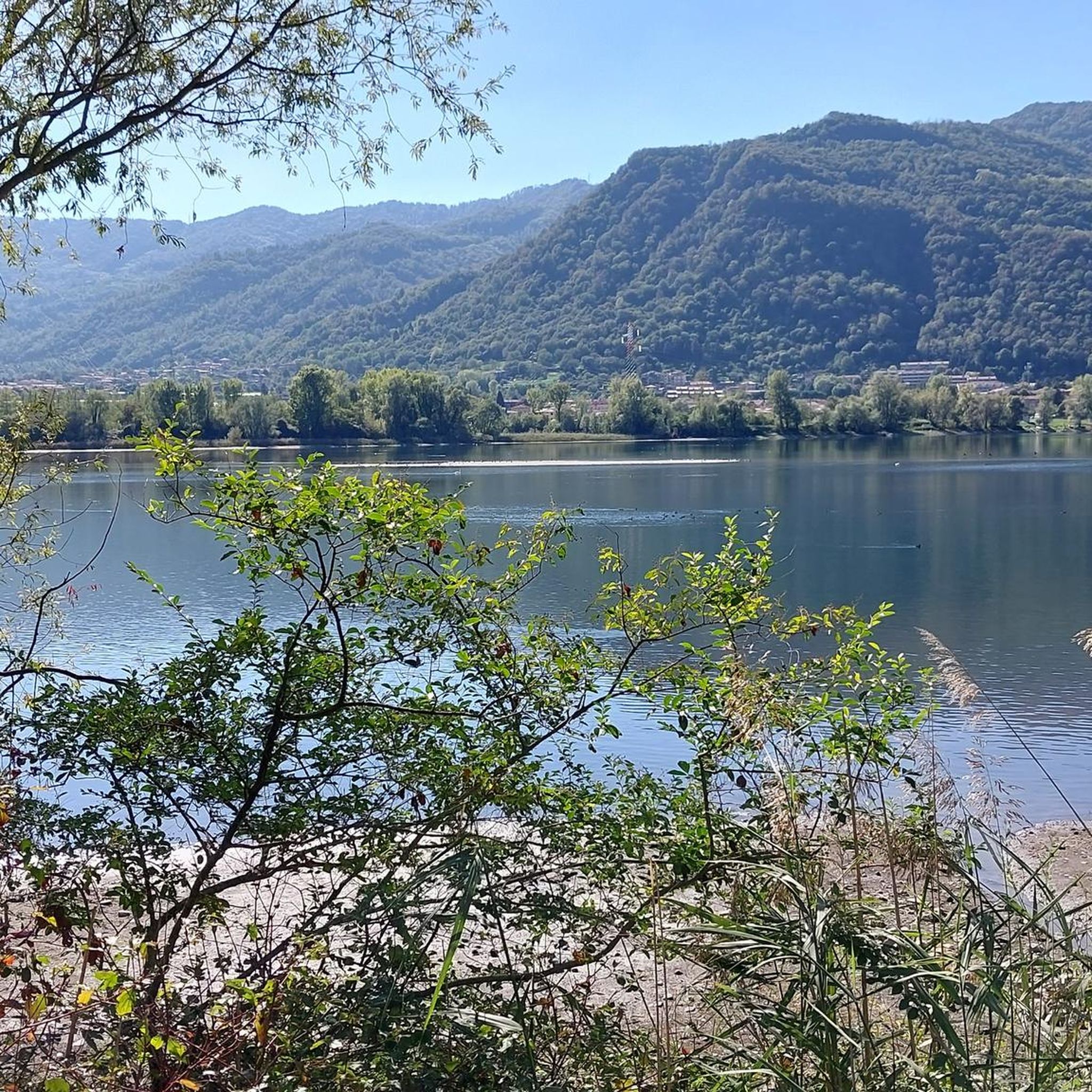
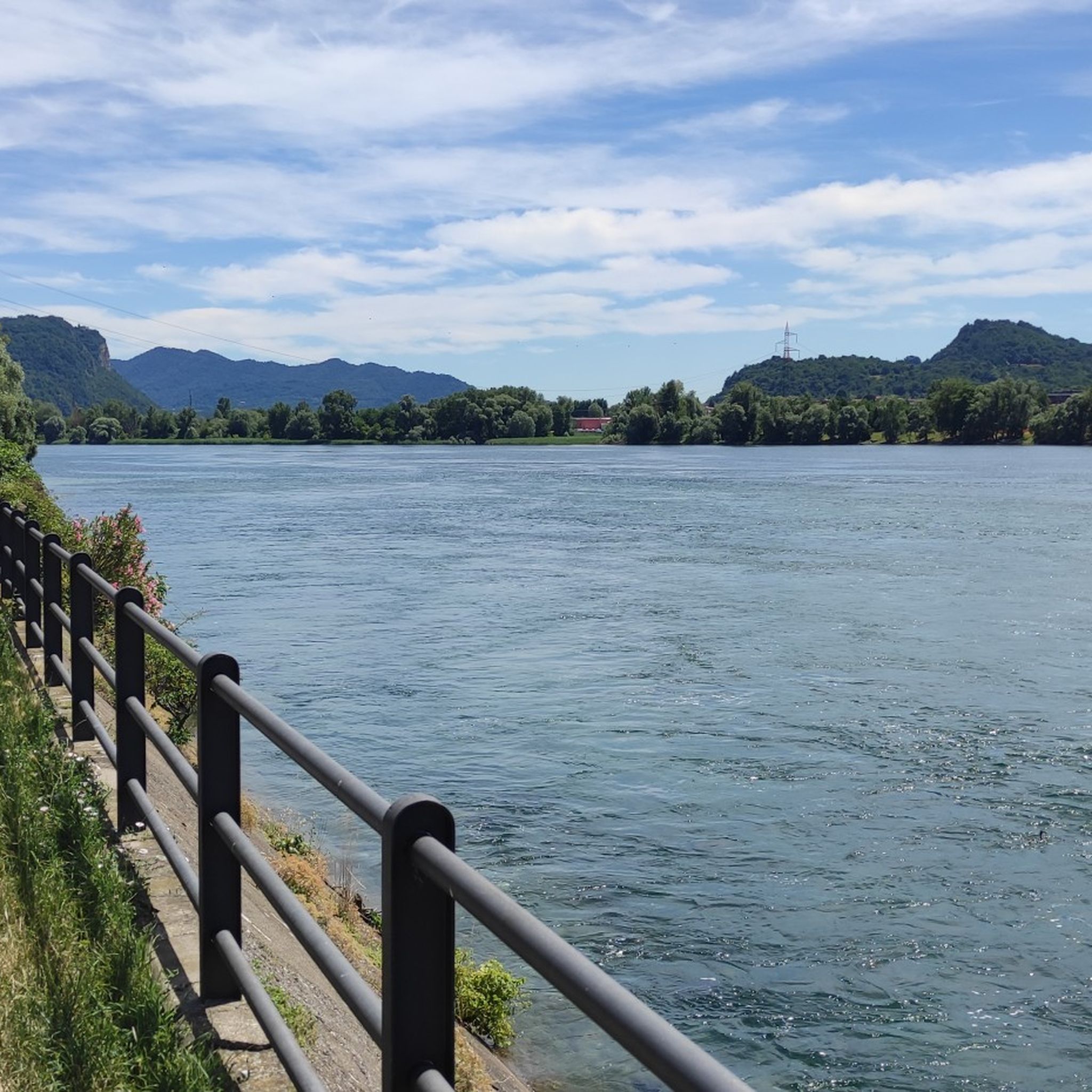
Hiking trails around Lake Olginate offer a diverse landscape characterized by tranquil lakeside paths, wooded slopes, and views of the Orobie Alps. Situated within the Northern Adda Regional Park, the area features the Adda River widening into Lake Olginate, providing a calm body of water. The surrounding hillsides offer a range of trails, from easy walks along the riverbank to more challenging ascents. This region combines a riverine environment with elevated perspectives, catering to various hiking preferences.
Best hiking trails around Lake Olginate
- The most popular hiking route is Tour of Lake Olginate, a 3.7 miles (6.0 km) trail that takes 1 hour 30 minutes to complete. This easy route follows a tranquil path along the lake with minimal elevation gain.
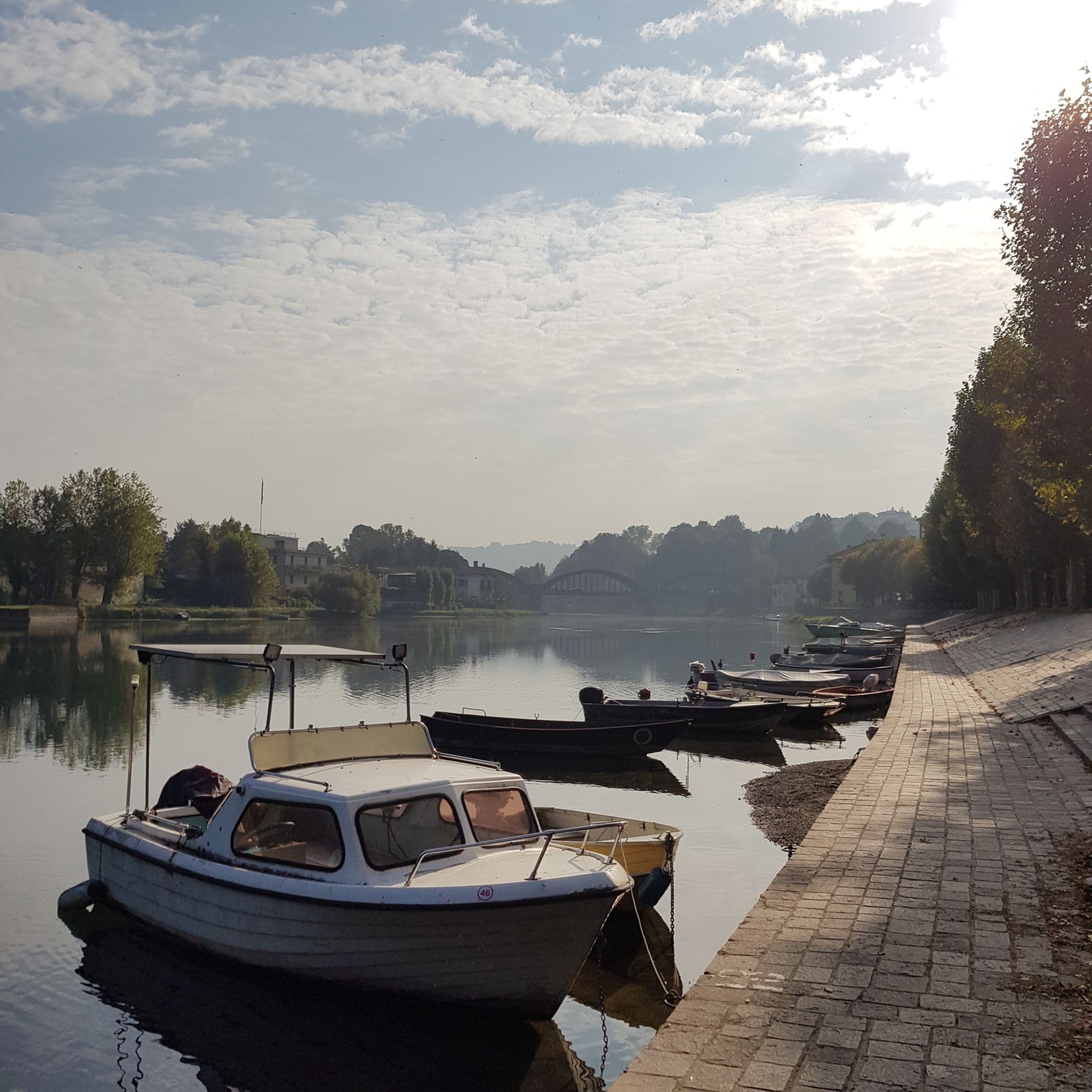
- Another top favourite among local hikers is Lake Garlate Loop Trail, a moderate 9.1 miles (14.6 km) path. This route offers tranquil lakeside promenades and views of mountains and historic bridges, typically completed in about 3 hours 45 minutes.
- Local hikers also love the Trip to the Erve pools, a 10.2 miles (16.3 km) trail leading through varied terrain with a significant elevation gain, often completed in about 6 hours 20 minutes.
- Hiking around Lake Olginate is defined by serene lakeside paths, wooded slopes, and panoramic views towards the Orobie Alps. The network offers options for different ability levels, from easy strolls to more demanding ascents.
- The routes in Lake Olginate are highly rated by the komoot community with an average score of 4.4 stars from more than 6,900 reviews. More than 39,000 hikers have used komoot to explore Lake Olginate's varied terrain.
Last updated: July 9, 2026
4.4
(138)
610
hikers
14.6km
03:43
40m
40m
Moderate hike. Good fitness required. Easily-accessible paths. Suitable for all skill levels.
4.4
(80)
274
hikers
5.94km
01:30
10m
10m
Easy hike. Great for any fitness level. Easily-accessible paths. Suitable for all skill levels.

Sign up for free
4.0
(3)
14
hikers
16.3km
06:19
980m
980m
Hard hike. Very good fitness required. Sure-footedness, sturdy shoes and alpine experience required.
4.4
(84)
284
hikers
6.74km
01:44
30m
30m
Easy hike. Great for any fitness level. Easily-accessible paths. Suitable for all skill levels.
4.2
(21)
74
hikers
9.62km
03:10
430m
430m
Moderate hike. Good fitness required. Easily-accessible paths. Suitable for all skill levels.
Get access to more routes and recommendations from other explorers.
Sign up for free
Already have an account?
Our route recommendations are based on thousands of hikes, rides, and runs completed by other people on komoot.
Start today with a free account
Your next adventure awaits.
Login or Signup


Tips from the Community

Erve is an enchanted little village. There is almost nothing. Practically everything you need to live well! 🫶🏽💖
0
0

There's a small beach in front of it, you can swim there with a breathtaking view
0
0

towards Pescarenico via Isola dell'Adda
0
0


beautiful viscount on the lake di Garlate
0
0
very nice bridge over the water
0
0
nice sofa with big book
0
0
nice graffiti on the wall
0
0
Frequently Asked Questions
How many hiking trails are available around Lake Olginate?
There are over 740 hiking routes around Lake Olginate, offering a wide range of options for different skill levels and preferences. You'll find everything from easy lakeside strolls to more challenging ascents into the hills.
What kind of terrain can I expect on hikes around Lake Olginate?
The terrain is quite diverse. You can expect tranquil lakeside paths along the Adda River, wooded slopes, and scenic hillsides. Many routes also offer panoramic views towards the majestic Orobie Alps, providing a varied and engaging hiking experience.
Are there any easy, family-friendly walks suitable for children?
Yes, for a relaxed experience, the Tour of Lake Olginate is an easy 5.94 km path with minimal elevation gain, perfect for families. The Adda River Cycling and Walking Path also provides flat, scenic routes through wooded areas, ideal for leisurely strolls.
Can I bring my dog on the hiking trails around Lake Olginate?
Many trails around Lake Olginate are dog-friendly, especially the lakeside paths and less strenuous routes. It's always a good idea to keep your dog on a leash, especially in areas with wildlife or other hikers, and to check specific trail regulations if available. The Northern Adda Regional Park is generally welcoming to dogs.
Are there any circular walks available?
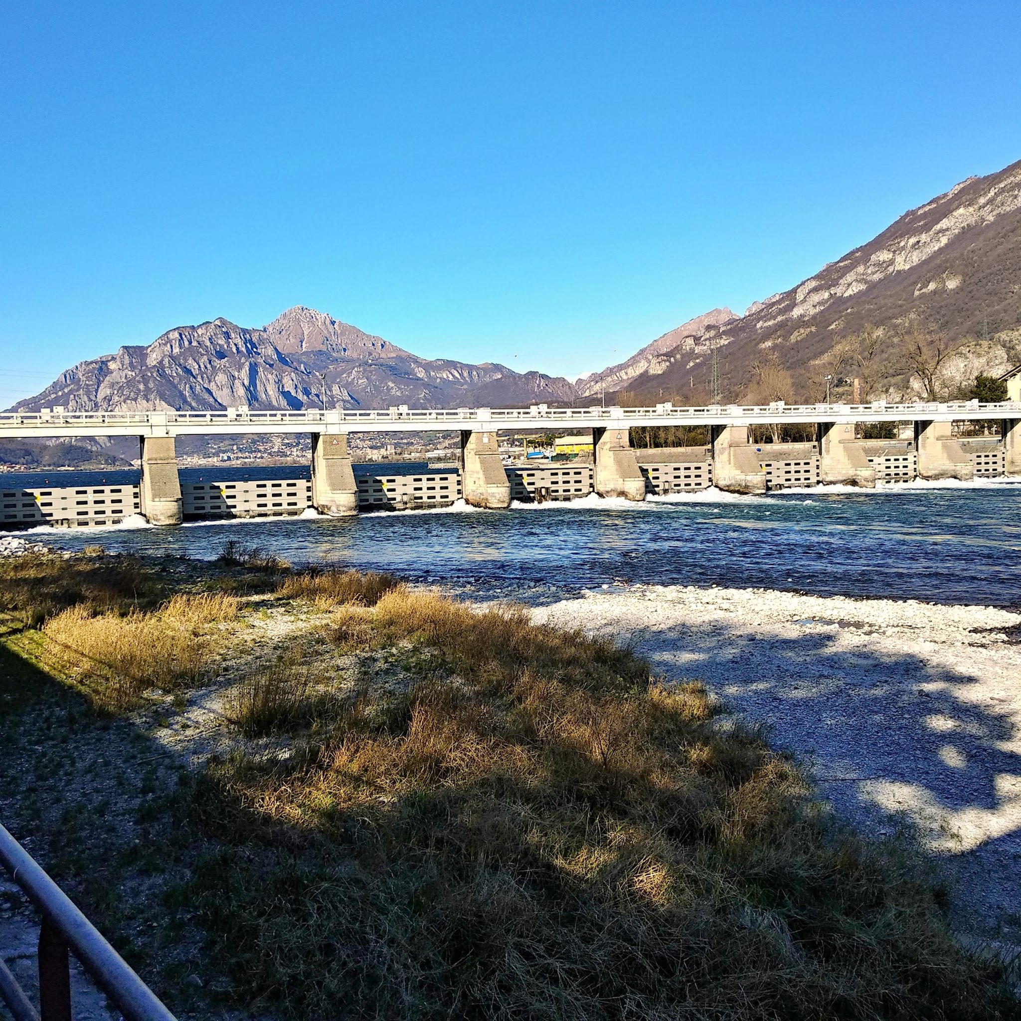
Yes, many routes around Lake Olginate are designed as loops. For example, the Lake Garlate Loop Trail is a moderate 14.6 km circular path offering tranquil lakeside promenades and views of mountains and historic bridges. Another option is the Garlate Dam – Graffiti Along the Lake loop from Calolziocorte.
What are some notable natural features or viewpoints I can discover on a hike?
The region is rich in natural beauty. You'll find the serene waters of Lake Olginate and the Adda River, wooded slopes, and views of the Orobie Alps. Some trails lead to natural wonders like waterfalls, and nearby mountains such as Monte Cornizzolo offer excellent panoramic views of several lakes, including Como, Pusiano, Annone, and Garlate.
What is the best time of year to go hiking in Lake Olginate?
Spring and autumn are generally ideal for hiking around Lake Olginate, offering pleasant temperatures and beautiful scenery. Spring brings blooming flora, while autumn showcases vibrant foliage. Summer can be warm, making early morning or late afternoon hikes preferable, especially on more exposed paths. Winter hiking is also possible, particularly on the lower-elevation lakeside paths.
Are there any challenging routes for experienced hikers?
Absolutely. For experienced hikers seeking a challenge, the Trip to the Erve pools is a difficult 16.3 km hike with a significant elevation gain of 980 meters, requiring good fitness and sure-footedness. Other challenging routes can be found on the surrounding hills and towards the Orobie Alps.
What do other hikers enjoy most about hiking in Lake Olginate?
The area is highly rated by the komoot community, with an average score of 4.4 stars from over 6,900 reviews. Hikers often praise the serene lakeside paths, the diverse landscapes that blend waterways with wooded slopes, and the stunning views of the Orobie Alps. The variety of trails catering to all skill levels is also a frequently mentioned highlight.
Are there any interesting cultural attractions or unique places to explore near the hiking trails?
Yes, the region offers unique cultural points. The 'ghost town' of Consonno, a hilly hamlet near Olginate, provides an unusual and intriguing destination for hikers. Additionally, the town of Lecco is just a short distance away, offering cultural attractions and lakeside promenades for a rewarding half-day excursion.
Is public transport available to reach the hiking trails?
While specific public transport details for every trailhead vary, the town of Olginate and nearby Lecco are generally accessible by regional public transport. It's advisable to check local bus or train schedules to plan your journey to the starting points of your chosen hikes.
Where can I find parking for the hiking trails?
Parking is typically available in and around the towns and villages bordering Lake Olginate, such as Olginate itself or Calolziocorte. Many trailheads, especially for popular routes, will have designated parking areas. It's recommended to check specific route descriptions for parking information relevant to your chosen starting point.
Most popular routes around Lake Olginate

Get inspired with the komoot mobile app


Explore more
Browse the best Hikes in other regions.
