The best road cycling routes around Lake Giacopiane
4.4
(34)
692
riders
10
rides
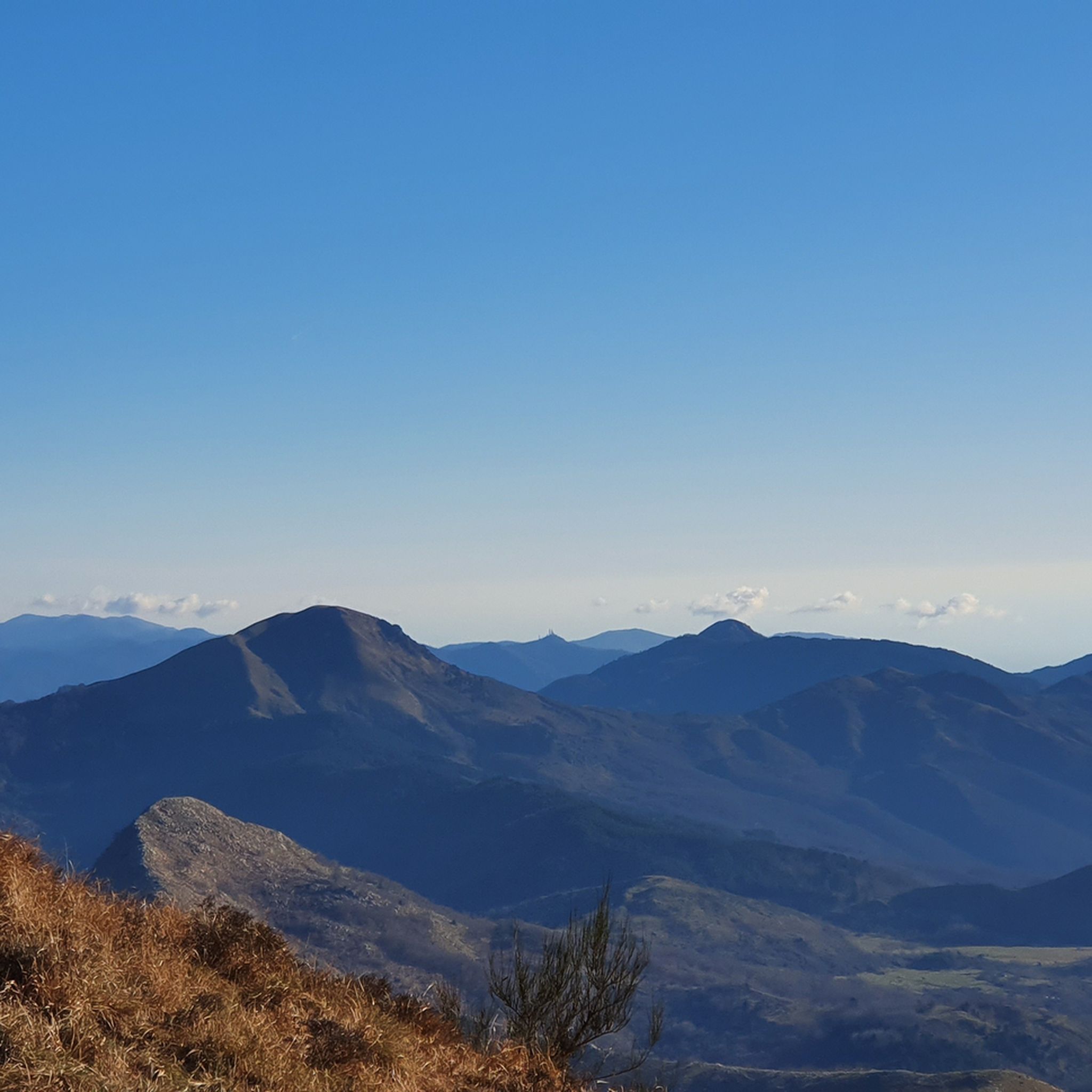
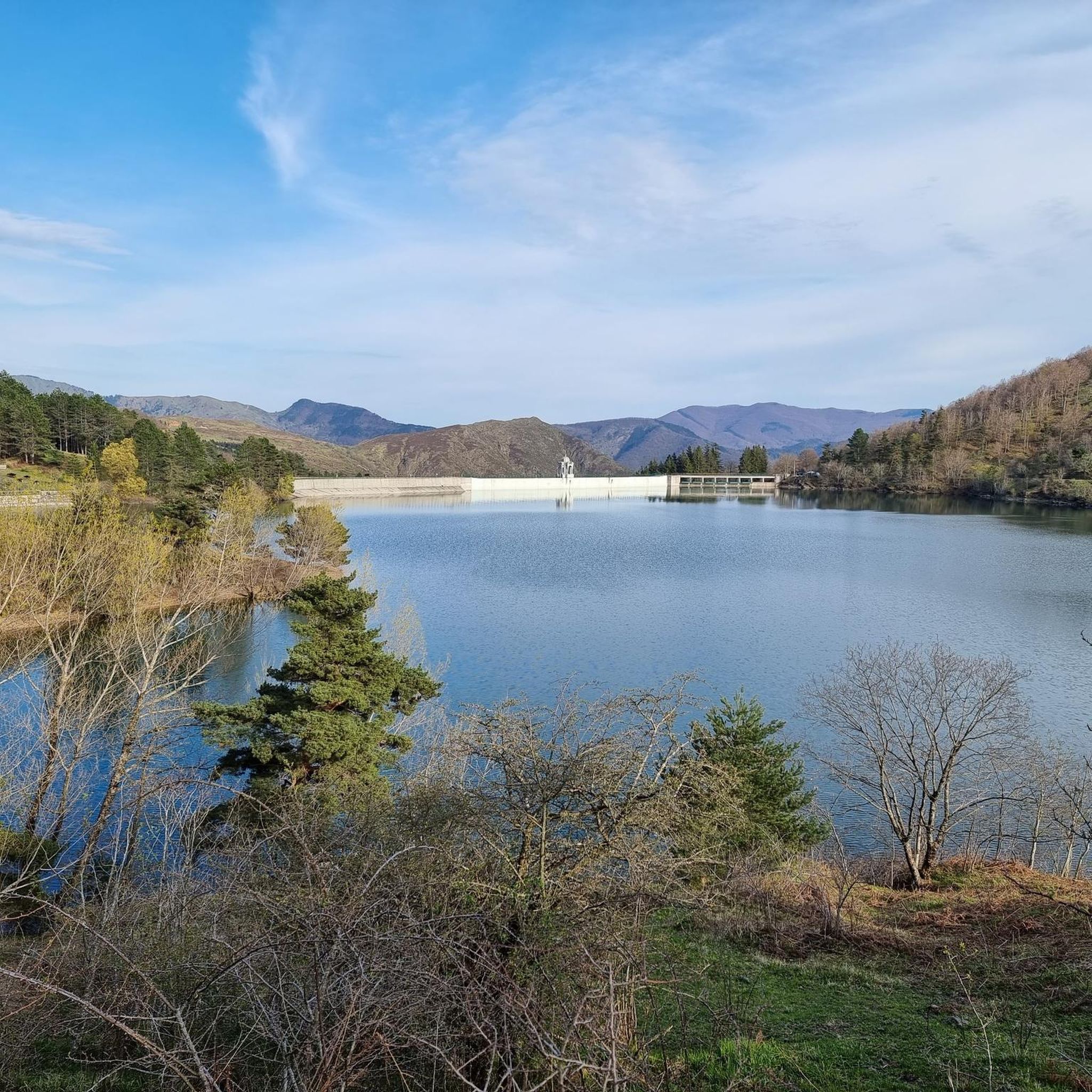
Road cycling around Lake Giacopiane offers routes through the Ligurian Apennine mountains, situated over 1,000 meters above sea level. The terrain features gently sloping hills covered in beech and fir trees, descending towards the artificial lake. This region within the Aveto Park provides a mountainous backdrop for road cyclists seeking challenging ascents and scenic descents.
Best road cycling routes around Lake Giacopiane
- The most popular road cycling route is Colle Caprile, Leivi loop from Borzonasca, a 14.3 miles (23.0 km) trail that takes 1 hour 9 minutes to complete, offering moderate climbs through the local landscape.
- Another top favourite among local road cyclists is Passo del Biscia – Bocco Pass loop from Parco Regionale dell'Aveto, a difficult 53.4 miles (86.0 km) path. This route traverses significant mountain passes, providing extensive views of the Apennine scenery.
- Local road cyclists also love the Passo della Scoglina – Fregarolo Pass loop from Rezzoaglio, a 43.6 miles (70.2 km) trail leading through mountain passes and forested areas, often completed in about 4 hours 2 minutes.
- Road cycling around Lake Giacopiane is defined by its Ligurian Apennine mountains, artificial lake views, and routes through beech and fir forests. The network offers options for moderate to difficult ability levels, including significant climbs over mountain passes.
- The routes in Lake Giacopiane are highly rated by the komoot community with an average score of 4.5 stars from over 50 reviews. More than 1,000 road cyclists have used komoot to explore Lake Giacopiane's varied terrain.
Last updated: July 15, 2026
15
riders
36.6km
02:23
1,110m
1,110m
Hard road ride. Very good fitness required. Mostly well-paved surfaces and easy to ride.
4.5
(22)
398
riders
92.6km
04:38
1,440m
1,440m
Hard road ride. Very good fitness required. Mostly well-paved surfaces and easy to ride.

Sign up for free
88
riders
91.3km
05:10
2,070m
2,070m
Hard road ride. Very good fitness required. Mostly well-paved surfaces and easy to ride.
18
riders
46.2km
02:48
1,210m
1,210m
Hard road ride. Very good fitness required. Some segments of this route may be unpaved and difficult to ride.
4.0
(3)
8
riders
33.5km
01:28
330m
330m
Moderate road ride. Good fitness required. Mostly well-paved surfaces and easy to ride.
Get access to more routes and recommendations from other explorers.
Sign up for free
Already have an account?
Our route recommendations are based on thousands of hikes, rides, and runs completed by other people on komoot.
Start today with a free account
Your next adventure awaits.
Login or Signup
Tips from the Community

Pass of the Ligurian Apennines located at an altitude of 1,452 m, it is reachable by car and is a crossroads where various hiking trails branch off.
0
0
Born from the recovery of old barracks, it is a beautiful refuge where you can both eat and stay overnight. The location is stunning and makes it a must-stop when visiting these areas.
0
0

From here you can get everywhere!
0
0
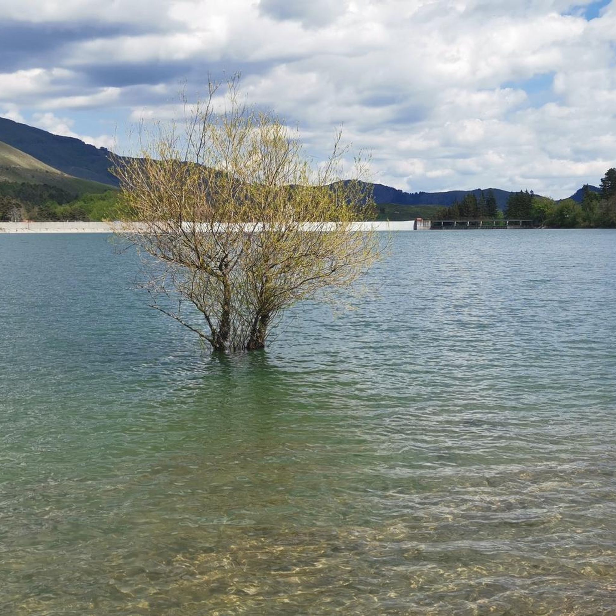
..an infinite pleasure to quench your thirst here..
0
0

A beautiful village perched in the Ligurian Apennines. It's worth stopping to see the well-preserved walls of the Malaspina Fieschi Doria Castle, for an excellent coffee at Bar Leon D'oro, and especially for the "Gobeletti" pastries from the Chiesa pastry shop.
0
0

The Rifugio Casermette del Penna (1,400 m) is located within the Aveto Park, in a beautiful beech forest at the foot of Mount Penna, where the Forestry Corps barracks once stood. Renovated sustainably using local wood, photovoltaic panels, and a biomass boiler, the refuge offers 25 beds in both rooms and dormitories, as well as home-cooked meals prepared using local produce. Today, it is a popular destination for hikers, families, and groups, thanks in part to the large green lawn in front of the building: in summer, it's ideal for relaxing in the sun, picnicking, or letting children play freely. The location is perfect for exploring the trails of Mount Penna, the Lago Penna loop, the Pennino forests, or tackling more technical climbs to the rocky peaks. In winter, it's an ideal base for snowshoeing and cross-country skiing.
0
0
Situated at 956 meters between the Vara and Aveto Valleys, the Bocco Pass is one of the historic passes of the Ligurian Apennines, used since ancient times as a connection between the Tyrrhenian coast and the Po Valley hinterland. Already in Roman times, it was part of a secondary transit network, but it was especially in the Middle Ages and modern times that the pass assumed a central role in local traffic: a route for merchants, shepherds, and pilgrims, it connected Chiavari and the Riviera with Varese Ligure and the Emilian plains. Traces of the ancient paving are still visible today in the surrounding woods. During the Second World War, the area served as a refuge for partisan groups, thanks to its secluded location and dense forest cover. Today, the pass is a destination for cyclists and hikers, immersed in an unspoiled mountain landscape of beech and fir forests and highland meadows, at the gateway to the Aveto Regional Natural Park.
0
0
Frequently Asked Questions
How many road cycling routes are available around Lake Giacopiane?
The region offers 9 road cycling routes. These include 3 moderate and 6 difficult routes, catering to various skill levels and providing challenging ascents through the Ligurian Apennine mountains.
What is the typical terrain and difficulty profile for road cycling around Lake Giacopiane?
Road cycling around Lake Giacopiane is characterized by its mountainous Ligurian Apennine landscape. Routes often feature significant climbs over mountain passes and scenic descents through beech and fir forests, with difficulty levels ranging from moderate to difficult. The area is situated over 1,000 meters above sea level, ensuring a demanding yet rewarding experience.
What natural features and landmarks can I expect to see while cycling near Lake Giacopiane?
Cyclists can enjoy views of the artificial Lake Giacopiane itself, nestled amidst the Ligurian Apennine mountains. The routes traverse areas with gently sloping hills populated by beech and fir trees. As part of the Aveto Park, the region is known for its natural beauty, and you might even spot wild horses along the lake's shores.
Are there any particularly scenic routes for road cycling in the Lake Giacopiane area?
Yes, routes like the Passo del Biscia – Bocco Pass loop from Parco Regionale dell'Aveto offer extensive views of the Apennine scenery. The entire region, with its mountainous backdrop and artificial lake, provides a picturesque setting for road cyclists.
What do other road cyclists enjoy the most about road cycling in Lake Giacopiane?
The area is highly rated by the komoot community, with an average score of 4.5 stars from over 50 reviews. Reviewers often praise the challenging climbs, the stunning mountainous scenery of the Ligurian Apennines, and the tranquility of cycling through beech and fir forests.
Are there any long-distance road cycling routes for experienced riders?
Experienced riders will find several challenging long-distance routes. For example, the Passo della Scoglina – Forcella Pass loop from Rezzoaglio covers approximately 95 kilometers, while the Passo del Biscia – Bocco Pass loop from Parco Regionale dell'Aveto is about 86 kilometers, both featuring significant elevation gains.
Is there parking available for road cyclists near Lake Giacopiane?
While specific parking areas for cyclists are not detailed, access to Lake Giacopiane by car requires a pass, indicating controlled entry. Cyclists often start their routes from nearby towns like Borzonasca or Rezzoaglio, where parking options may be more readily available.
What is the best time of year for road cycling around Lake Giacopiane?
Given its mountainous location over 1,000 meters above sea level, the best time for road cycling around Lake Giacopiane is typically from late spring through early autumn. During these months, the weather is generally more favorable, and mountain passes are clear of snow, offering optimal conditions for challenging rides.
Are there any moderate road cycling routes suitable for those looking for a less strenuous ride?
Yes, there are moderate options available. The Colle Caprile, Leivi loop from Borzonasca is a good example, offering moderate climbs over a distance of about 23 kilometers, making it a suitable choice for those seeking a less demanding but still scenic ride.
Can I find cafes or places to rest along the road cycling routes?
While the immediate vicinity of Lake Giacopiane is primarily natural and protected, routes often start or pass through smaller towns and villages in the Sturla Valley or near the Aveto Park. These locations may offer opportunities for refreshments at local cafes or trattorias, especially in towns like Borzonasca or Rezzoaglio.
Are there any specific permits required for cycling in the Aveto Park area?
While general access to Lake Giacopiane by car or motorcycle requires a pass, there is no specific mention of permits required for road cycling within the Aveto Park. However, it's always advisable to respect park regulations and stay on designated routes.
What kind of elevation gain can I expect on road cycling routes near Lake Giacopiane?
The routes around Lake Giacopiane are situated in the Ligurian Apennine mountains, so significant elevation gains are common. Difficult routes can feature over 2,000 meters of ascent, such as the Passo del Biscia – Bocco Pass loop from Parco Regionale dell'Aveto, which has an elevation gain of approximately 2,270 meters.
Most popular routes around Lake Giacopiane

Get inspired with the komoot mobile app


Explore more
Browse the best Road cycling routes in other regions.
