The best cycling routes around Lago dell'Alto Temo
3.0
(2)
21
riders
5
rides
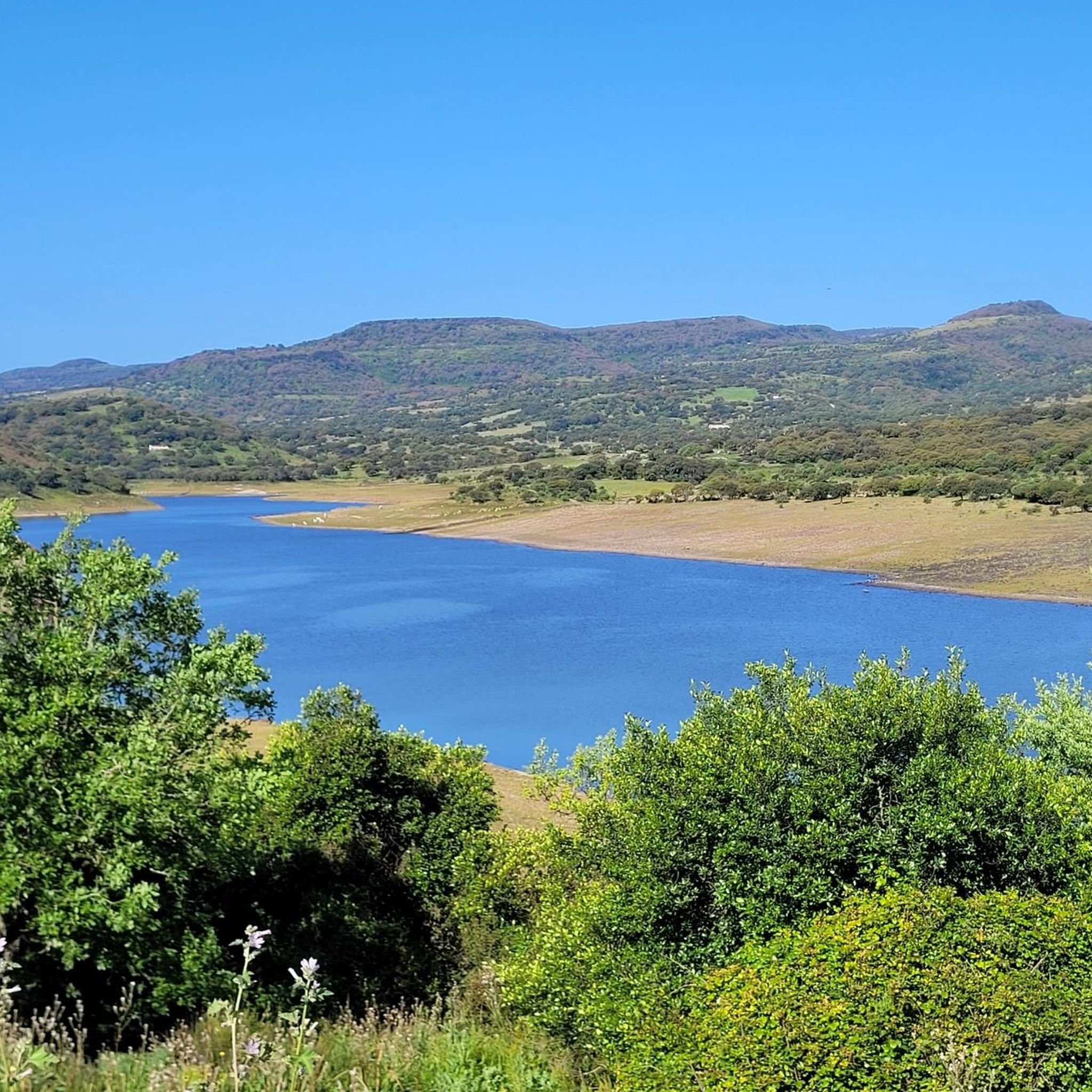
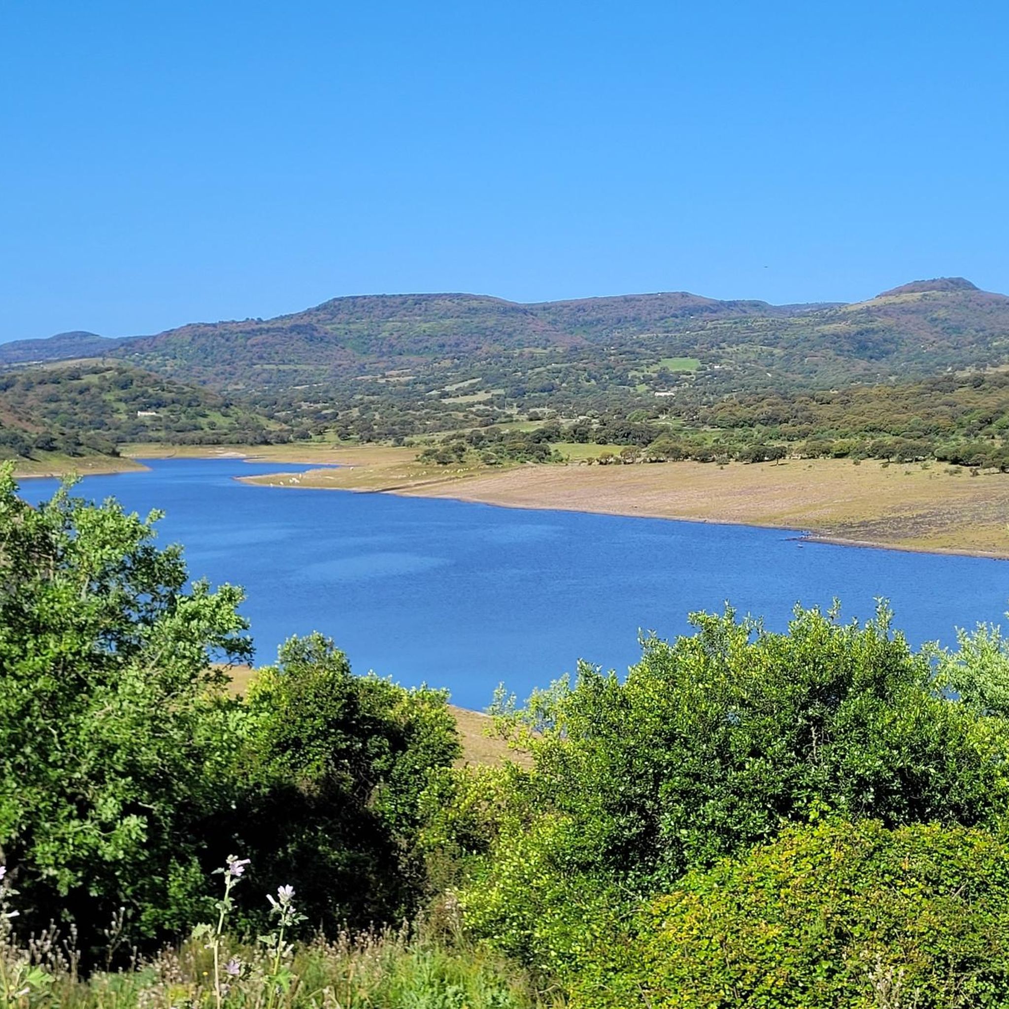
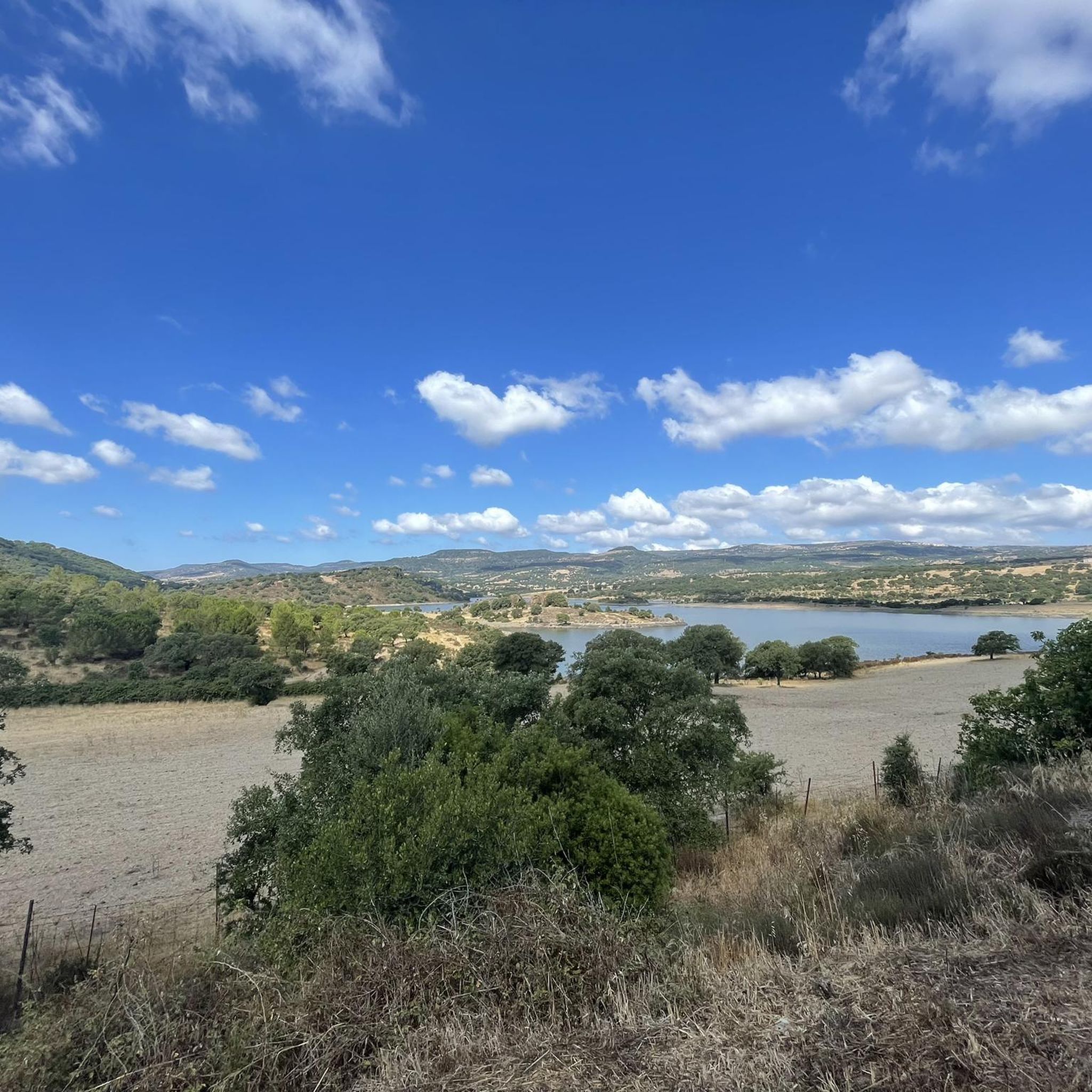
Touring cycling routes around Lago dell'Alto Temo are set within an agricultural landscape in northern Sardinia, characterized by rolling hills, fields, and trees. The artificial lake, formed by a dam on the Temo River, is surrounded by reliefs such as Su Monte and Monte Minerva. This region offers varied terrain, from moderate rides on paved surfaces to more demanding routes with significant elevation changes, connecting to both coastal and mountainous areas. The area is part of a protected natural site,…
Last updated: July 1, 2026
3
riders
79.0km
05:20
1,290m
1,290m
Hard bike ride. Very good fitness required. Mostly paved surfaces. Suitable for all skill levels.
3.0
(1)
13
riders
Hard bike ride. Very good fitness required. Mostly paved surfaces. Suitable for all skill levels.

Sign up for free
2
riders
Hard bike ride. Very good fitness required. You may need to push your bike for some segments of this route.
3.0
(1)
2
riders
Hard bike ride. Very good fitness required. Mostly paved surfaces. Suitable for all skill levels.
1
riders
Moderate bike ride. Good fitness required. Mostly paved surfaces. Suitable for all skill levels.
Our route recommendations are based on thousands of hikes, rides, and runs completed by other people on komoot.
Start today with a free account
Your next adventure awaits.
Login or Signup
Popular around Lago dell'Alto Temo
Tips from the Community

That's one of the best stretches of coast for riding a bike in the Mediterranean
0
0

A great place to take a break. Benches with a panoramic view.
0
0

Magnificent views, bring water and suitable footwear. Follow the blue dots on the rocks if the path seems uncertain.
0
0

A paradise place to relax and the beach bar is also great
1
0
A bike path runs along the entire beach promenade. You just have to be careful at the entrances and exits, as well as at the zebra crossings.
1
0

Plains with a primordial appearance, large green spaces bordered by imposing rock formations, isolated or in rows, with caves dug by nature and inhabited by man over the millennia
0
0

A bucolic valley full of artichoke crops
0
0

The grotto is one meter above sea level at the foot of a 110 meter high steep rock face and can only be visited when the sea is calm. It can be reached via a staircase with 654 steps in the almost vertical cliff, the Escala del Cabirol (German: deer ladder). Alternatively, you can take a less strenuous boat tour from Alghero or a nearby car park. Only a few hundred meters of the extensive, approximately four-kilometer-long cave system are accessible to the public. As part of a guided tour, you can view stalactite formations, calcareous sinter deposits and a small, approximately 120-meter-long saltwater lake that is connected to the sea. Explanations are given via permanently installed loudspeakers in Italian, English and German.
2
1
Frequently Asked Questions
What kind of terrain can I expect when cycling around Lago dell'Alto Temo?
The area around Lago dell'Alto Temo features a diverse landscape with rolling hills, agricultural fields, and trees. Routes can range from well-paved surfaces to more challenging paths with significant elevation gains, connecting to both coastal and mountainous areas of Sardinia. You'll find a mix of moderate and difficult routes.
Are there any easy touring cycling routes suitable for beginners around Lago dell'Alto Temo?
While many routes in the area are classified as difficult due to elevation changes, there is one moderate route available: View of Monte Santo – Fontana Isla de la Mujeres loop from Biddanoa Monteleone/Villanova Monteleone. This 12.7-mile (20.5 km) path offers a less strenuous option while still providing scenic views of Monte Santo.
What are some notable landmarks or viewpoints I can discover on a touring cycling route?
Cycling routes around Lago dell'Alto Temo offer several points of interest. You can enjoy expansive views of the Sardinian landscape on routes like the Panoramic Viewpoint loop from Biddanoa Monteleone/Villanova Monteleone. The region also features reliefs such as Su Monte and Monte Minerva, and the locality of Su Codoro offers panoramic views with thick vegetation. During dry periods, the receding waters of the lake can even expose ancient Punic-era archaeological ruins of Sa Tanca 'e Sa Mura.
Are there any longer touring cycling routes for experienced cyclists?
Yes, for experienced cyclists looking for a challenge, the Upper Temo Lake – Montresta loop from Biddanoa Monteleone/Villanova Monteleone is a substantial option. This difficult route spans 40.0 miles (64.4 km) and involves significant elevation changes, typically taking over 4 hours to complete.
What do other touring cyclists think about the routes in Lago dell'Alto Temo?
The touring cycling routes around Lago dell'Alto Temo are highly regarded by the komoot community, holding an average rating of 3.5 stars. Over 90 touring cyclists have explored this varied terrain using komoot, appreciating the diverse landscapes and challenging rides.
Can I find routes that explore beyond just Lago dell'Alto Temo?
Absolutely. Some routes connect Lago dell'Alto Temo with other significant points in the region. For instance, the Stone Water Fountain – Upper Temo Lake loop from Biddanoa Monteleone/Villanova Monteleone takes you through the wider area, offering a different perspective of the Sardinian countryside.
Are there any circular touring cycling routes available?
Many of the touring cycling routes around Lago dell'Alto Temo are designed as loops, allowing you to start and end in the same location. Examples include the Panoramic Viewpoint loop from Biddanoa Monteleone/Villanova Monteleone and the Stone Water Fountain – Water Fountain loop from Montresta, providing convenient options for your ride.
What is the overall difficulty level of touring cycling in this region?
The touring cycling routes around Lago dell'Alto Temo are predominantly challenging. Out of 14 available routes, 13 are classified as difficult, with only one moderate option. Cyclists should be prepared for significant elevation gains and varied terrain.
Is Lago dell'Alto Temo part of a protected natural area?
Yes, Lago dell'Alto Temo falls within a Site of Community Interest (SIC) named "Entroterra e zona costiera tra Bosa, Capo Marargiu e Porto Tangone" (ITB020041), which is part of the Natura 2000 network. This designation highlights the ecological importance of the area, ensuring its natural beauty is preserved.
Are there any historical sites accessible by touring bike in the broader region?
While not directly on every route, the broader region offers historical points of interest. The castle of Monteleone Rocca Doria provides impressive views over the lake and surroundings. The town of Bosa, located along the Temo River, with its colorful houses, Malaspina Castle, and ancient tanneries, is also a potential attraction for touring cyclists exploring further afield.
What kind of natural features define the area around Lago dell'Alto Temo?
The region is characterized by an agricultural Sardinian landscape with rolling hills, fields, and trees. The lake itself was formed by a dam on the Temo River, and it's surrounded by reliefs like Su Monte and Monte Minerva. The variability of the lake's water levels is a unique feature, occasionally exposing ancient submerged ruins.
Most popular routes around Lago dell'Alto Temo

Get inspired with the komoot mobile app


Explore more
Browse the best Cycling routes in other regions.
