The best cycling routes around Steingrundsee (Peterhafen)
4.5
(1644)
10,082
riders
415
rides
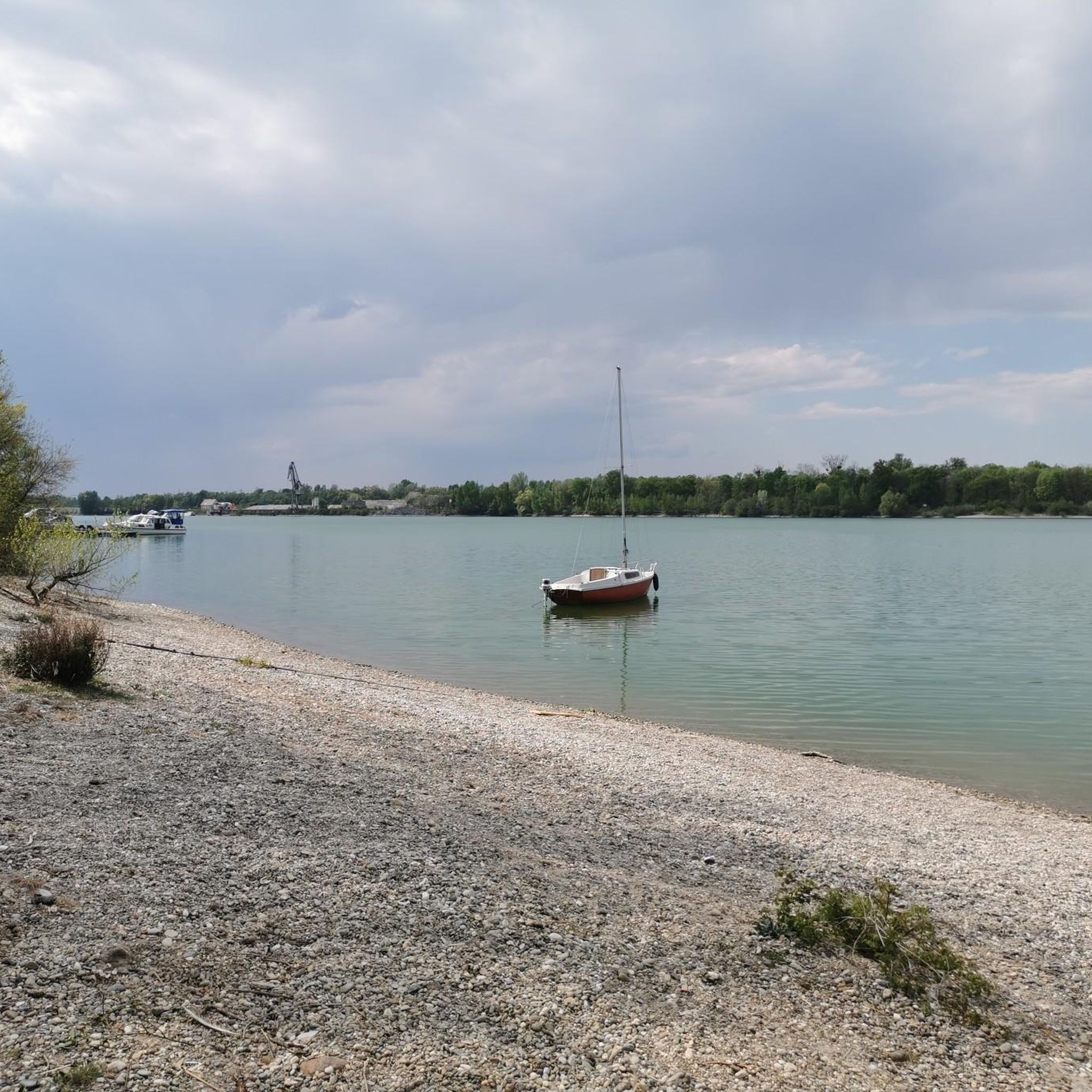
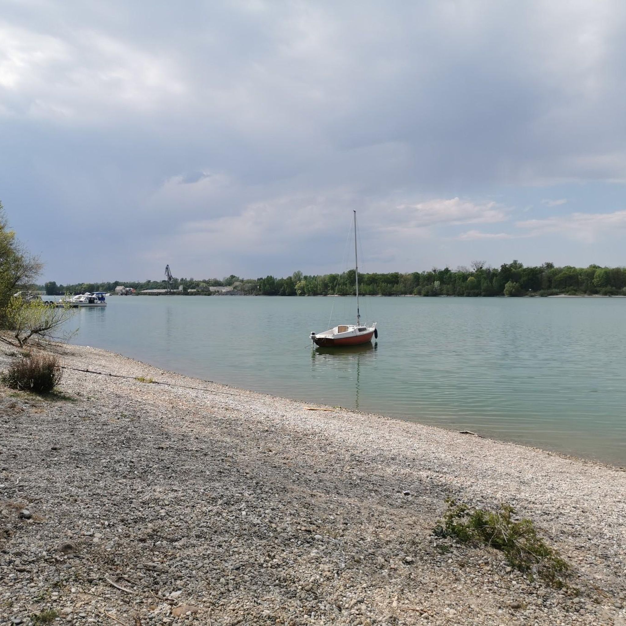
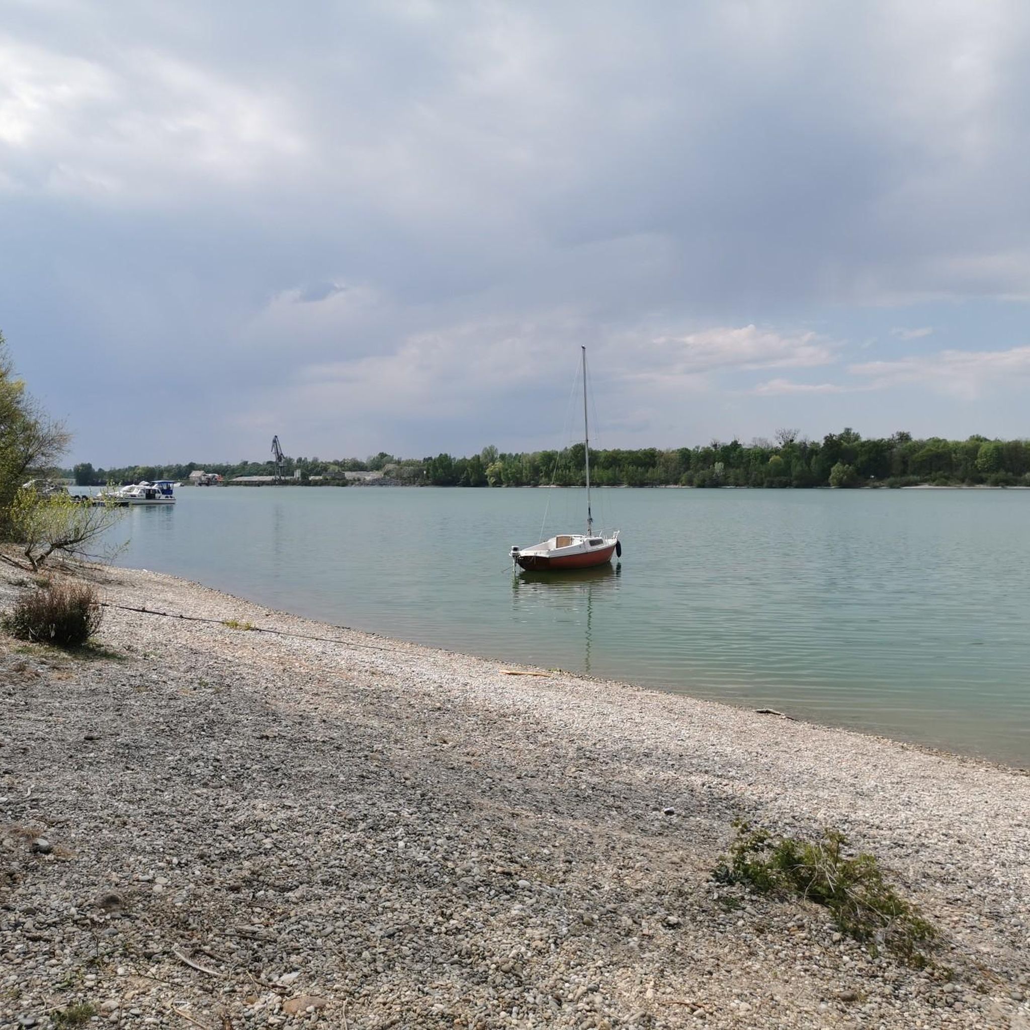
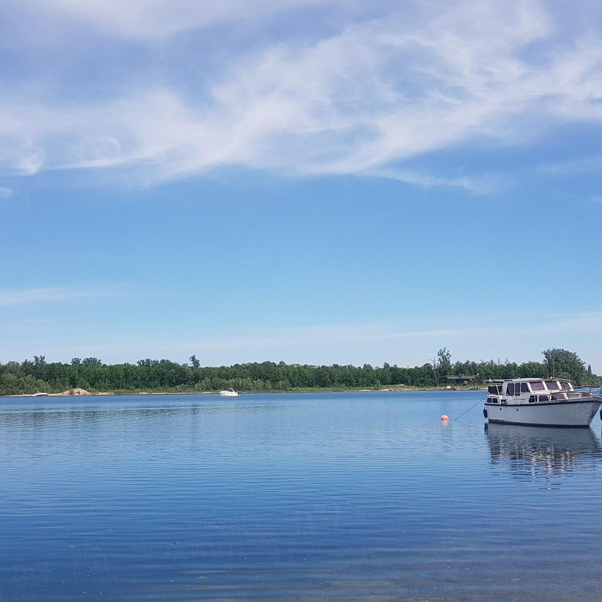
Touring cycling routes around Steingrundsee (Peterhafen) traverse the flat Rhine floodplains in Baden-Württemberg, centered around a 70-hectare gravel pit lake connected to the Rhine. The terrain is predominantly flat, making it accessible for various fitness levels, though some routes may include gravel sections. Cyclists can explore well-maintained paths that offer views of the Rhine, alluvial meadows, and in the broader region, distant vineyards and the foothills of the Black Forest. The area also connects to the expansive Rhine Cycle Path,…
Last updated: June 26, 2026
4.5
(6)
35
riders
Easy bike ride. Great for any fitness level. Mostly paved surfaces. Suitable for all skill levels.
33
riders
13.3km
00:45
20m
20m
Easy bike ride. Great for any fitness level. Mostly paved surfaces. Suitable for all skill levels.

Sign up for free
4.7
(9)
44
riders
23.5km
01:51
40m
40m
Easy bike ride. Great for any fitness level. Mostly paved surfaces. Suitable for all skill levels.
23
riders
Easy bike ride. Great for any fitness level. Mostly paved surfaces. Suitable for all skill levels.
4.7
(3)
20
riders
Easy bike ride. Great for any fitness level. Mostly paved surfaces. Suitable for all skill levels.
Get access to more routes and recommendations from other explorers.
Sign up for free
Already have an account?
Our route recommendations are based on thousands of hikes, rides, and runs completed by other people on komoot.
Start today with a free account
Your next adventure awaits.
Login or Signup
Tips from the Community

Magnificent view of the Black Forest
0
0

A real splendor - I counted more than twenty storks on the church and church tower roof today-
1
0
The St. Nikolaus Church has its origins in the Middle Ages. It originated from an early chapel and was later rebuilt and expanded several times. The holy Nicholas as patron shows the long ecclesiastical tradition of the place. Over the centuries, the church was and remains the religious and social center of Gamshurst to this day.
0
0
The Acher is an approximately 54 km long tributary of the Rhine
0
0
The Acher is an approximately 54 km long tributary of the Rhine
0
0
Built in 1909 with a load capacity of 10 t. In 1955, the bridge was rebuilt with a load capacity of 12 t. In 2018, the bridge was rebuilt again with a load capacity of 90 t.
0
0


Break on one of the many benches at the ferry in Drusenheim.
0
0
Frequently Asked Questions
What kind of terrain can I expect on touring cycling routes around Steingrundsee (Peterhafen)?
The terrain around Steingrundsee (Peterhafen) is predominantly flat, traversing the Rhine floodplains. While most paths are well-maintained, some routes may include gravel sections. This makes the area accessible for various fitness levels, offering a smooth cycling experience.
How many touring cycling routes are available in the Steingrundsee (Peterhafen) area?
There are over 400 touring cycling routes around Steingrundsee (Peterhafen) recorded on komoot. This extensive network provides a wide variety of options for exploring the region.
Are there easy touring cycling routes suitable for beginners or casual riders?
Yes, the region is well-suited for easy touring cycling. Out of over 400 routes, 265 are classified as easy, making it an ideal destination for beginners, families, or those looking for a relaxed ride. An example is the Schöllenhof Farm Shop – Rench River at Wagshurst loop from Rheinau, which is 15.4 miles (24.7 km) long.
Can I find routes that offer views of the Black Forest or vineyards?
While Steingrundsee (Peterhafen) is primarily known for its Rhine floodplain landscapes, the broader region offers routes with views of distant vineyards and the foothills of the Black Forest, providing a varied scenic backdrop. The View of the Black Forest – Bridge Over the Rench loop from Rheinau is one such route.
Are there any cross-border touring cycling routes to France?
Yes, some cycling paths in the area are cross-border, allowing you to connect to French towns like Drusenheim and Offendorf, often via ferry. This offers a unique opportunity to experience the extended Rhine landscape on both sides of the river. The Path along the Rhine – Drusenheim - Greffern Ferry loop from Rheinau is an excellent option for this.
What kind of natural features can I see along the cycling routes?
The routes often traverse the unique Rhine floodplain landscape, offering views of the Rhine itself, alluvial meadows, and its diverse flora and fauna. You might also encounter remnants of riparian forests, such as those protected on the French side in "La réserve naturelle nationale de la forêt d'Offendorf".
What do other touring cyclists say about the routes in Steingrundsee (Peterhafen)?
The touring cycling routes around Steingrundsee (Peterhafen) are highly rated by the komoot community, with an average score of 4.5 stars from over 1600 reviews. Cyclists often praise the well-maintained paths, the flat terrain, and the scenic views of the Rhine and surrounding nature.
Are there any circular touring cycling routes available?
Yes, many routes in the Steingrundsee (Peterhafen) area are designed as loops, allowing you to start and end at the same point. An example is the Rössel Bridge over the Acher – Bridge Over the Rench loop from Rheinau, which takes you through river landscapes.
What attractions or points of interest can I find along the routes?
Beyond the natural beauty, you can encounter charming local villages and cultural points of interest. Some routes, like the "Renchen - Hanauer bike route" (not listed in guide data, but mentioned in research), pass by attractions such as the adventure park "World of Living" and the Rheinau/Gambsheim fish ladder. Routes also connect various villages, offering opportunities to experience local culture.
Is the area suitable for longer touring cycling trips?
Yes, the region's connection to the expansive Rhine Cycle Path (EuroVelo 15) provides excellent opportunities for longer tours. This path stretches from the Swiss Alps to the North Sea, allowing for extended cycling adventures beyond the immediate Steingrundsee (Peterhafen) area.
Are there any routes that offer views of the lake itself?
Many routes in the vicinity will offer glimpses of Steingrundsee (Peterhafen), also known as Peterhafen, as it is a central feature of the area. The lake is a 70-hectare gravel pit lake connected to the Rhine by a canal, providing a pleasant backdrop for your ride.
What is the typical elevation gain on routes in this region?
Given the predominantly flat nature of the Rhine floodplains, the elevation gain on most touring cycling routes around Steingrundsee (Peterhafen) is minimal. For instance, the View of the Black Forest – Freistett Town Hall loop from Rheinau has an elevation gain of only about 23 meters over 13.1 km.
Most popular routes around Steingrundsee (Peterhafen)

Get inspired with the komoot mobile app


Explore more
Browse the best Cycling routes in other regions.
