The best running trails around Lac de l'Entonnoir
4.3
(50)
2,102
runners
169
runs
Jogging routes around Lac de l'Entonnoir traverse a natural setting on the second Jura plateau, characterized by lakes, marshes, and peat bogs. The landscape includes diverse ecosystems with marshy forests and the meandering river Drugeon. This region is known for its unique natural features, including the lake itself, which can periodically drain.
Best jogging routes around Lac de l'Entonnoir
- The most popular jogging route is Running loop from Bonnevaux, a 8.96 miles (14.4 km) trail that takes about 1…
Last updated: July 6, 2026
3
runners
10.9km
01:25
330m
330m
Hard run. Very good fitness required. Mostly paved surfaces. Suitable for all skill levels.
13
runners
14.4km
01:30
90m
90m
Moderate run. Good fitness required. Mostly paved surfaces. Suitable for all skill levels.

Sign up for free
6
runners
10.3km
01:20
270m
270m
Moderate run. Good fitness required. Mostly paved surfaces. Suitable for all skill levels.
4
runners
3.83km
00:26
50m
50m
Easy run. Great for any fitness level. Mostly paved surfaces. Suitable for all skill levels.
3
runners
12.7km
01:20
70m
70m
Moderate run. Good fitness required. Mostly paved surfaces. Suitable for all skill levels.
Get access to more routes and recommendations from other explorers.
Sign up for free
Already have an account?
Our route recommendations are based on thousands of hikes, rides, and runs completed by other people on komoot.
Start today with a free account
Your next adventure awaits.
Login or Signup

Tips from the Community

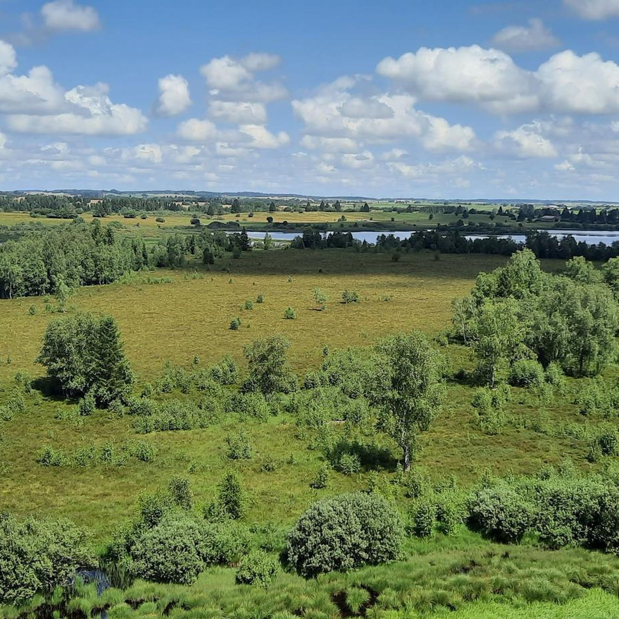
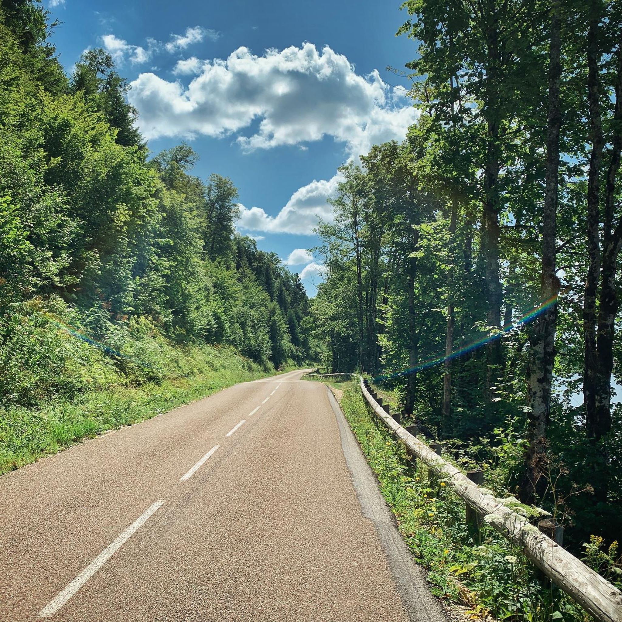
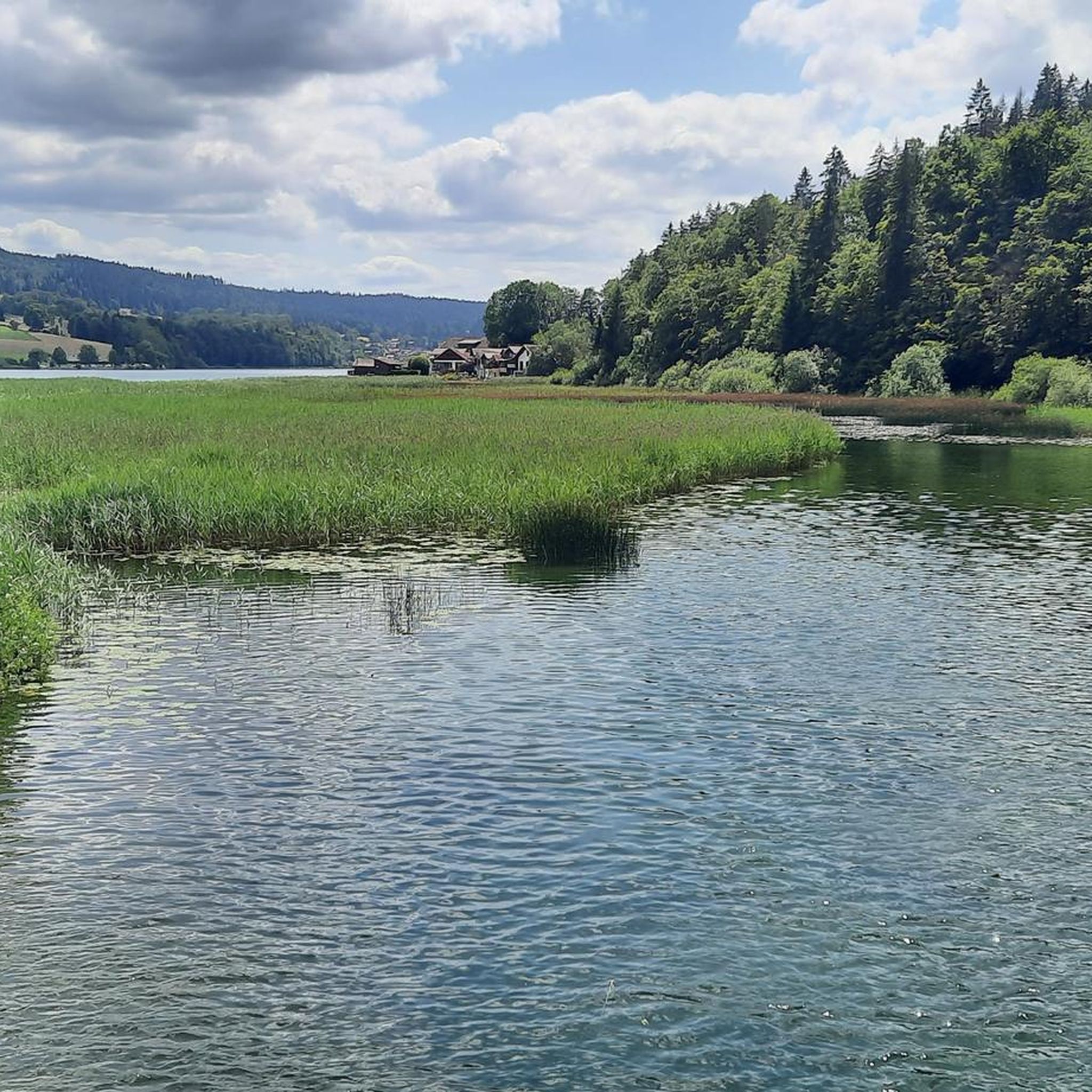
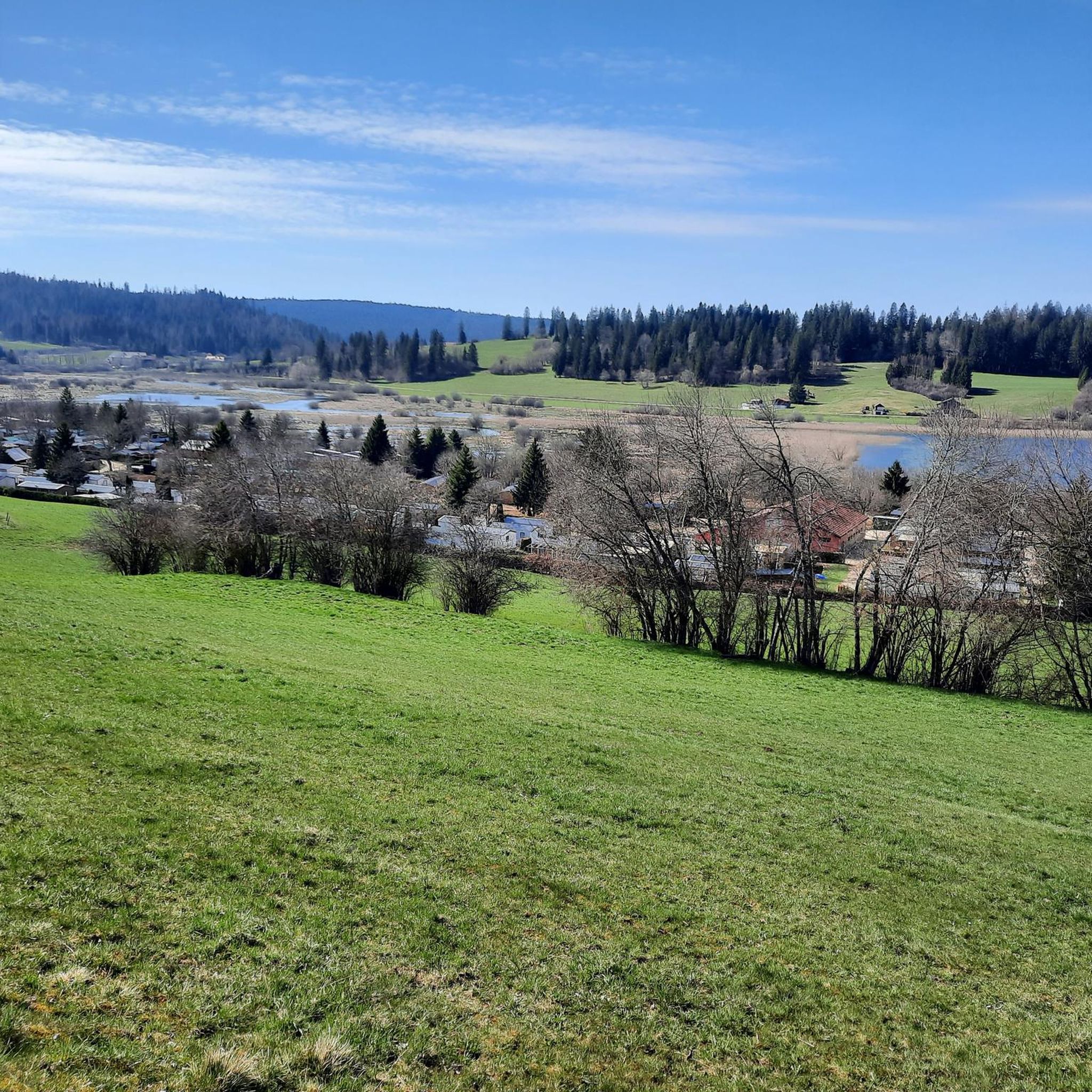
Here there is an information panel that provides information on the ecosystem of the marsh. There are also superb views of the vegetation, ideal for nature lovers. It is a landscape that constantly changes with the seasons and invites you to return.
0
0
Frequently Asked Questions
How many running routes are available around Lac de l'Entonnoir?
There are over 170 jogging routes around Lac de l'Entonnoir, offering a wide range of options for runners of all levels. The majority of these, around 124, are considered moderate in difficulty.
What kind of natural features can I expect to see while running in the Lac de l'Entonnoir area?
The region is characterized by its unique natural setting on the second Jura plateau, featuring lakes, extensive marshes, and peat bogs. You'll encounter diverse ecosystems, including marshy forests and the meandering Drugeon river. The area is known for its rich flora and fauna, with opportunities to observe various birds, insects, and aquatic life, especially around the shores of Bouverans Lake and Varot Marsh.
Are there any running routes with significant elevation gain for a more challenging workout?
Yes, for a more challenging run with notable elevation, consider the Croix de la Bêche loop from Bouverans. This moderate 6.38-mile (10.3 km) path features an elevation gain of 273 meters, rewarding you with panoramic views.
Are there any family-friendly running trails suitable for beginners or those with children?
Yes, the area offers easier options. The trail along the shores of Bouverans Lake and Varot Marsh is described as a discovery trail, with part of it suitable for people with disabilities, suggesting a relatively flat and accessible path. While not explicitly a running route in the guide data, its characteristics make it suitable for a gentle family run or walk. For a dedicated easy running route, the Running loop from Bouverans is a 2.38-mile (3.8 km) trail that is rated as easy.
What do other runners say about the jogging routes around Lac de l'Entonnoir?
The running routes in Lac de l'Entonnoir are highly rated by the komoot community, with an average score of 4.2 stars from over 40 reviews. Runners often praise the varied terrain and the beautiful natural environment, highlighting the lakes, marshes, and forests that define the region.
Can I find circular running routes in this area?
Yes, many of the routes around Lac de l'Entonnoir are designed as loops. For example, the Running loop from Bonnevaux is a popular 8.96-mile (14.4 km) circular trail, offering a moderate challenge through varied terrain.
Are there any viewpoints along the running trails where I can enjoy scenic vistas?
Yes, the region offers scenic viewpoints. The trail leading uphill to the Châtel Véron viewpoint provides breathtaking panoramic views of Bouverans Lake, Varot Marsh, the peat bogs, and the meanders of the river Drugeon. While this specific trail is not suitable for people with disabilities, it promises stunning vistas for runners.
What is the best time of year to go jogging around Lac de l'Entonnoir?
The natural beauty of the Haut Doubs region, with its lakes and mountains, can be enjoyed across seasons. While specific recommendations for jogging aren't provided, the area is popular for outdoor activities from summer to winter. Consider spring and autumn for pleasant temperatures and vibrant scenery. In winter, the heights of Chantegrue, not far from Frasne, are known for cross-country skiing and snowshoeing, suggesting the landscape transforms beautifully with snow.
Are there any unique natural phenomena to be aware of in the Lac de l'Entonnoir area?
Yes, Lac de l'Entonnoir, also known as Bouverans Lake, is famous for a rare natural phenomenon where it can completely drain in just a few days if rainfall is insufficient. Its surface area can vary significantly from 30 to over 150 hectares depending on the time of year, making each visit potentially unique.
Are there any running routes that pass by other lakes or water bodies?
Absolutely. Many routes in the area will take you past various water bodies. For instance, the Étang du Moulin loop from Frasne is a moderate 9.43-mile (15.2 km) route that includes the Étang du Moulin, offering picturesque waterside running.
Is there a shorter running route for a quick workout?
For a shorter run, the Running loop from Bouverans is an excellent choice. It's an easy 2.38-mile (3.8 km) trail that can typically be completed in about 25 minutes, perfect for a quick refresh in nature.
What is the longest running route available in the guide?
The longest route featured in this guide is the Running loop from Bonnevaux, which spans 8.96 miles (14.4 km) and offers a moderate challenge.
Most popular routes around Lac de l'Entonnoir

Get inspired with the komoot mobile app


Explore more
Browse the best Running Trails & Routes in other regions.
