The best road cycling routes around Diss
4.4
(12)
786
riders
139
rides
Road cycling routes around Diss, a market town in South Norfolk, are characterized by the varied and scenic landscapes of the Waveney Valley. This area features rolling hills, meandering rivers, and tranquil villages, providing a suitable environment for road cyclists. The region offers an extensive network of quiet lanes extending into South Norfolk and North Suffolk, with some routes presenting moderate challenges despite Norfolk's generally flat terrain. Diss Mere, a deep natural lake, is a central feature within the town…
Last updated: July 2, 2026
3
riders
76.2km
03:24
330m
330m
Moderate road ride. Good fitness required. Mostly well-paved surfaces and easy to ride.
4.0
(2)
30
riders
77.8km
03:36
360m
360m
Moderate road ride. Good fitness required. Mostly well-paved surfaces and easy to ride.

Sign up for free
38
riders
89.5km
03:45
420m
420m
Moderate road ride. Good fitness required. Some segments of this route may be unpaved and difficult to ride.
28
riders
42.8km
01:55
180m
180m
Easy road ride. Great for any fitness level. Mostly well-paved surfaces and easy to ride.
14
riders
47.4km
02:10
160m
150m
Moderate road ride. Good fitness required. Mostly well-paved surfaces and easy to ride.
Get access to more routes and recommendations from other explorers.
Sign up for free
Already have an account?
Our route recommendations are based on thousands of hikes, rides, and runs completed by other people on komoot.
Start today with a free account
Your next adventure awaits.
Login or Signup
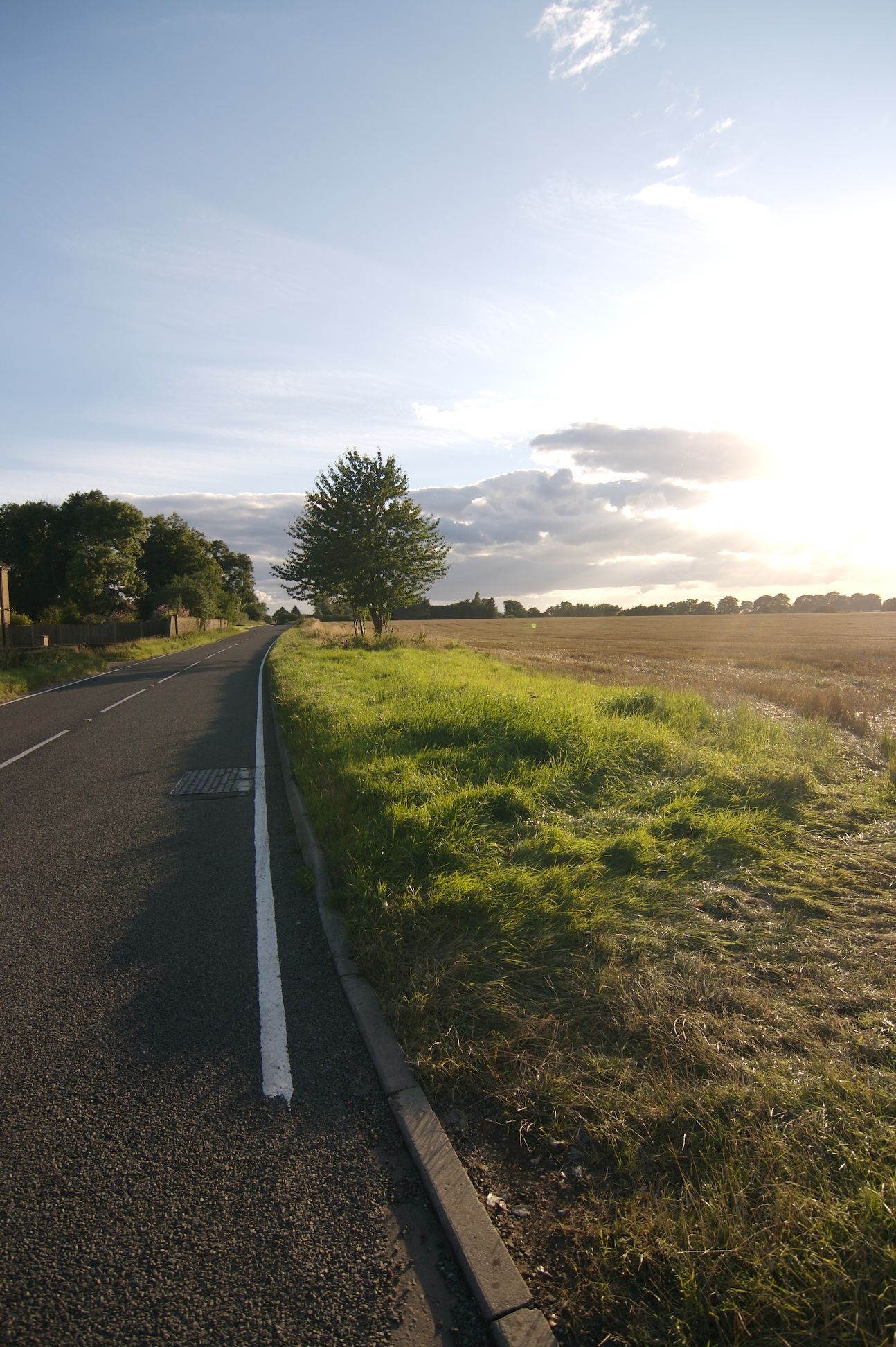
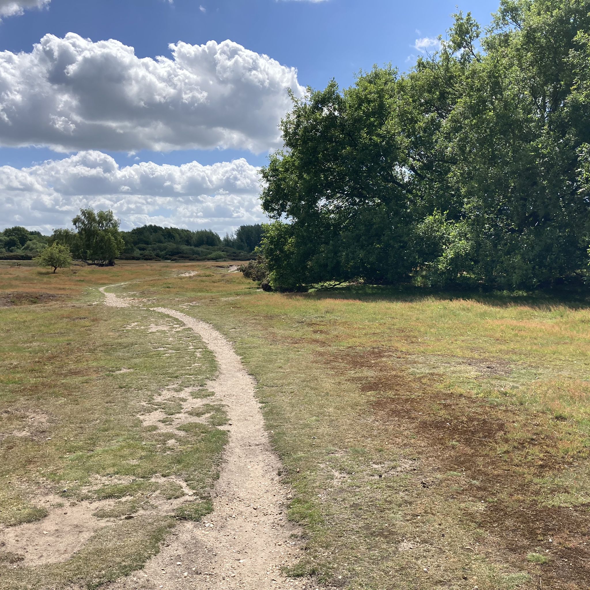
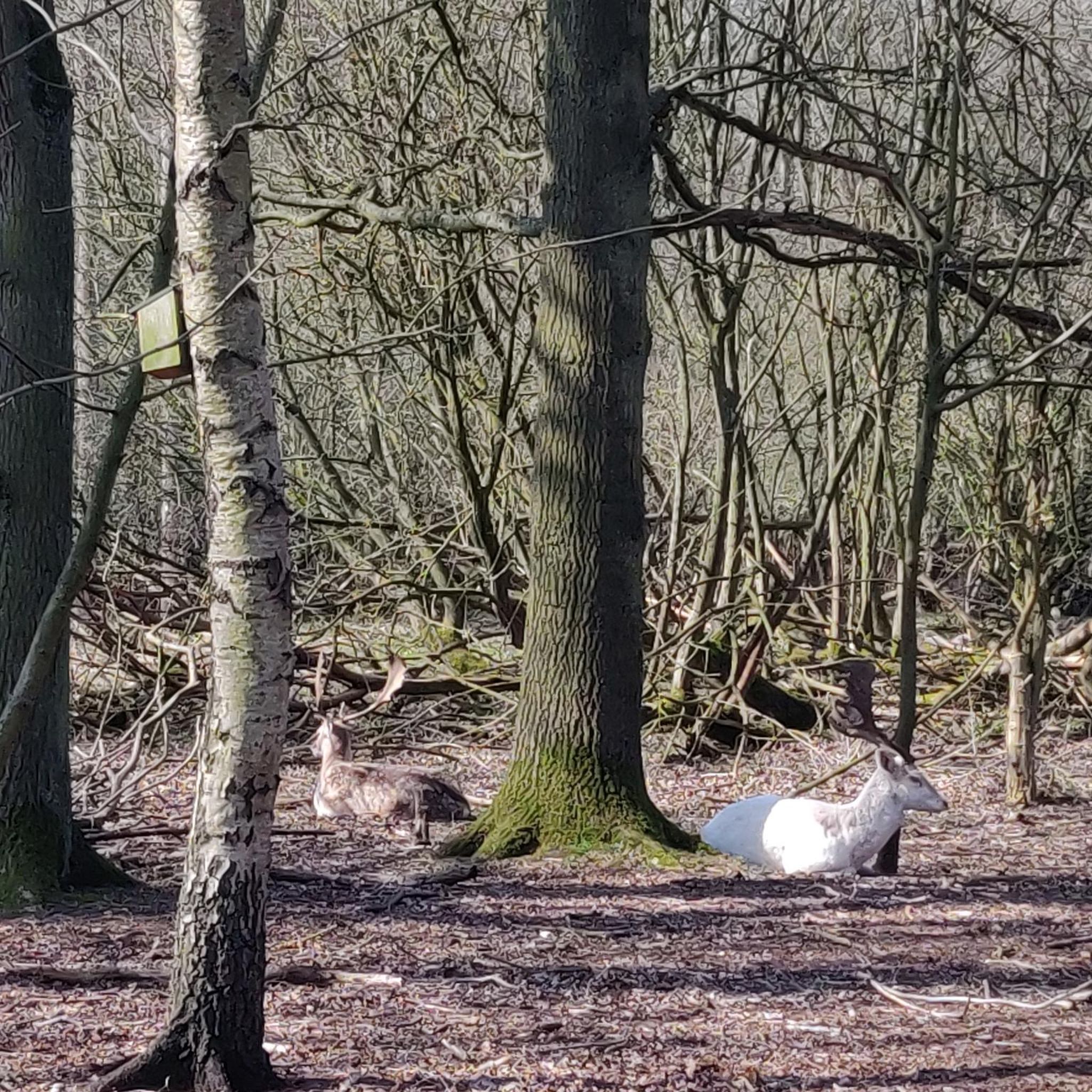


Other adventures around Diss

Tips from the Community

Note that the cafe is cash only though! Took a detour to get here, then couldn't buy anything :(
0
0


Excellent Sausage Rolls. Always worth a stop when passing.
0
0

The road skirts just above the eastern edge of the Mendham Marshes but it's a bit of a stretch to say it's like Holland - this isn't the Fens or even the Broads. Any view is mostly limited by hedgerows and houses.
0
0
A hidden cycle-friendly venue! Fronts directly on to the high street but there is space for bikes at the back. Open 10am-4.30pm Mon-Sat.
0
0
The more scenic alternative to the modern road bridge on the adjacent B1062. A popular swim and picnic spot in the summer.
0
0

Very cyclist friendly with excellent food and drink.
0
0
Frequently Asked Questions
How many road cycling routes are available around Diss?
There are over 150 road cycling routes around Diss listed on komoot, catering to various skill levels. This includes approximately 50 easy routes, 100 moderate routes, and a few more challenging options for experienced cyclists.
What kind of terrain can I expect when road cycling around Diss?
Road cycling around Diss primarily features the varied and scenic landscapes of the Waveney Valley. You'll encounter rolling hills, meandering rivers, and tranquil villages, mostly on quiet, paved country lanes. While Norfolk is generally flat, some routes around Diss offer moderate challenges, extending into South Norfolk, North Suffolk, and the Breckland area.
What are some of the most popular road cycling routes in the Diss area?
Some of the top-rated routes include the Diss to Eye loop, a 76.2 km ride through the Waveney Valley. Another favorite is the 77.8 km Homersfield Bridge – Eye Castle loop from Diss, offering views of historical landmarks. For a slightly longer ride, consider the 89.5 km Gissing Round Tower Church – Venta Icenorum Roman Town loop from Diss, which explores historical sites and rural landscapes.
What do other road cyclists enjoy most about cycling in Diss?
The road cycling routes around Diss are highly rated by the komoot community, with an average score of 4.2 stars from over 9 reviews. Cyclists often praise the picturesque Waveney Valley, the network of quiet country lanes, and the diverse options for routes ranging from easy to more challenging.
Are there any interesting landmarks or attractions to see along the road cycling routes?
Yes, the area around Diss is rich in points of interest. You might pass by historic sites like Eye Castle or religious buildings such as St. Mary's Church, Gislingham. Natural features like Wortham Ling and Wortham Ling Heath also offer scenic views and opportunities for wildlife spotting.
What is the best time of year for road cycling around Diss?
May and July are particularly popular months for cycling around Diss, with spring and summer offering vibrant wildflowers and pleasant weather. The region's varied landscapes are beautiful throughout the warmer months, providing an ideal backdrop for rides.
Are there any circular road cycling routes available from Diss?
Yes, many of the routes around Diss are designed as loops, allowing you to start and finish in the same location. Examples include the Walsham le Willows – Mellis Common Nature Reserve loop from Diss, which is 47.4 km, and the Soul Café – The Pennoyer Centre Café loop from Diss, a 49.2 km ride.
Can I find cyclist-friendly places to stop for refreshments in Diss and nearby villages?
Yes, Diss and the surrounding villages offer various options for refreshments. Some routes, like the Soul Café – The Pennoyer Centre Café loop from Diss, even incorporate specific cafes into their names, indicating popular stops for cyclists.
What is the quality of the road surfaces like for cycling in the Diss area?
The road cycling routes around Diss predominantly utilize mostly paved surfaces, making them ideal for road bikes. The extensive network of quiet lanes ensures a smooth and enjoyable ride, though some routes might include short unpaved sections, especially when venturing into more rural areas.
Are there longer distance cycling opportunities that pass through or near Diss?
Diss is conveniently located near sections of longer-distance cycling adventures. For example, the Homersfield Bridge – Eye Castle loop from Diss is part of a broader network. The town is also near the route of the Rebellion Way, a 232-mile loop around Norfolk, and long-distance paths like the Angles Way and Boudica's Way, which offer further scenic rides through the countryside.
Is Diss Mere accessible for cyclists, and what other natural features are nearby?
Diss Mere, a serene six-acre natural lake, is a central feature within the town itself, and its surrounding park offers a peaceful area. A short distance away, Roydon Fen provides a nature reserve with boardwalks and footpaths, while Wortham Ling offers a contrasting lowland heath landscape. These natural features are often accessible from or visible along various cycling routes.
Most popular attractions around Diss

Get inspired with the komoot mobile app


Explore more
Browse the best Road cycling routes in other regions.
