The best road cycling routes around Berwick St. James
4.8
(58)
2,104
riders
92
rides
Road cycling routes around Berwick St. James traverse the southern edge of Salisbury Plain, an expansive chalk plateau characterized by rolling hills and open vistas. The landscape includes chalk outcrops and downs, with the highest point in the parish reaching 166m. Cyclists will find picturesque riverside routes along the River Till and extensive agricultural land, providing a tranquil environment.
Best road cycling routes around Berwick St. James
- The most popular road cycling route is Woodhenge – The Bridge Inn loop…
Last updated: July 12, 2026
5.0
(1)
78
riders
52.8km
02:17
450m
450m
Moderate road ride. Good fitness required. Mostly well-paved surfaces and easy to ride.
29
riders
Moderate road ride. Good fitness required. Mostly well-paved surfaces and easy to ride.

Sign up for free
5.0
(1)
22
riders
Moderate road ride. Good fitness required. Mostly well-paved surfaces and easy to ride.
5.0
(1)
16
riders
48.3km
02:05
410m
410m
Moderate road ride. Good fitness required. Mostly well-paved surfaces and easy to ride.
5.0
(1)
23
riders
25.9km
01:02
140m
140m
Easy road ride. Great for any fitness level. Mostly well-paved surfaces and easy to ride.
Get access to more routes and recommendations from other explorers.
Sign up for free
Already have an account?
Our route recommendations are based on thousands of hikes, rides, and runs completed by other people on komoot.
Start today with a free account
Your next adventure awaits.
Login or Signup

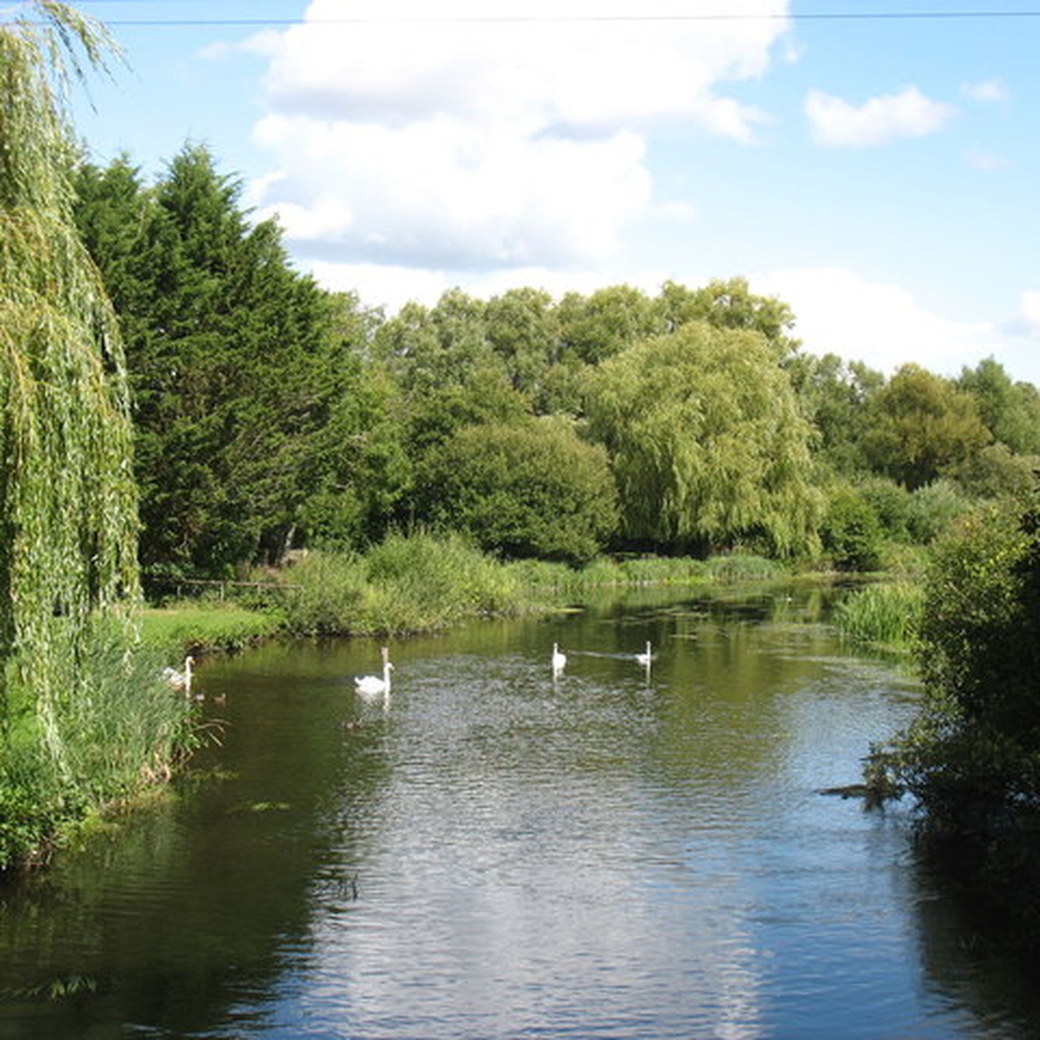
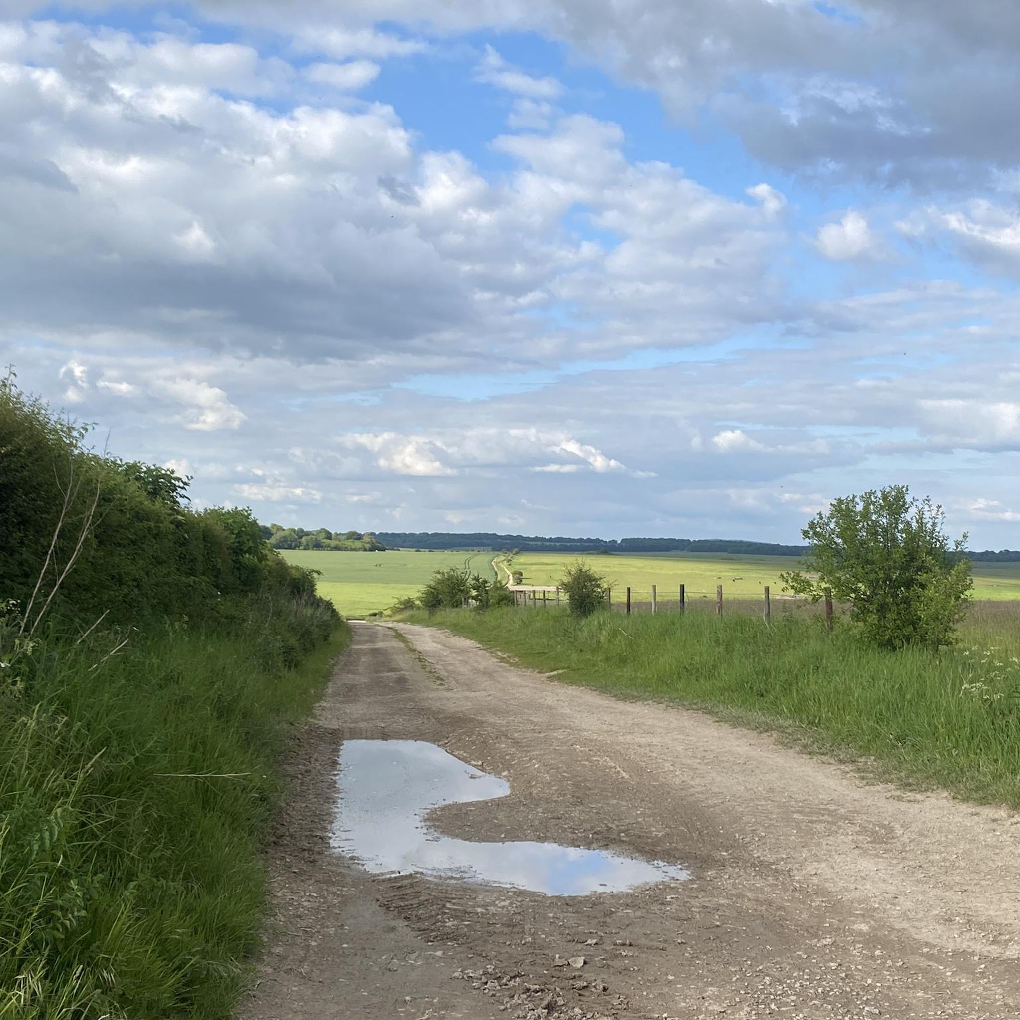

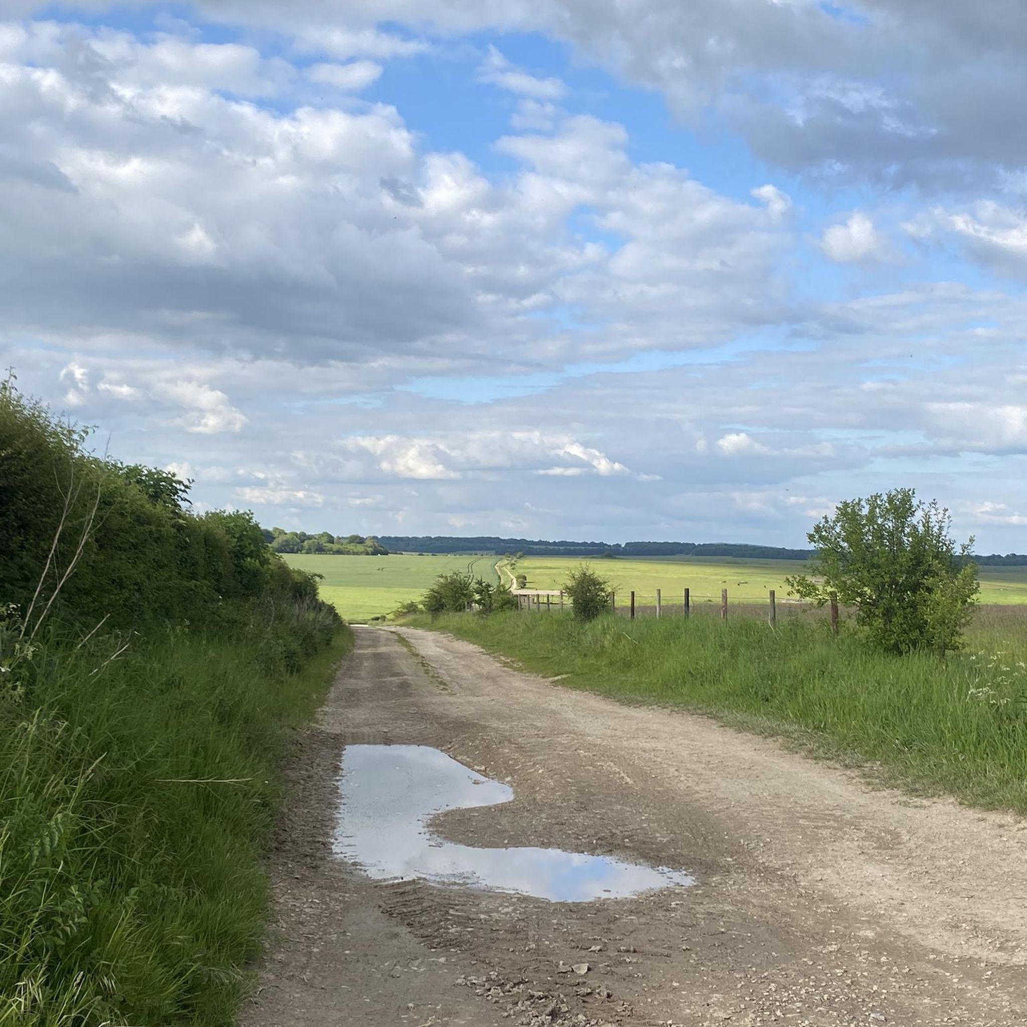
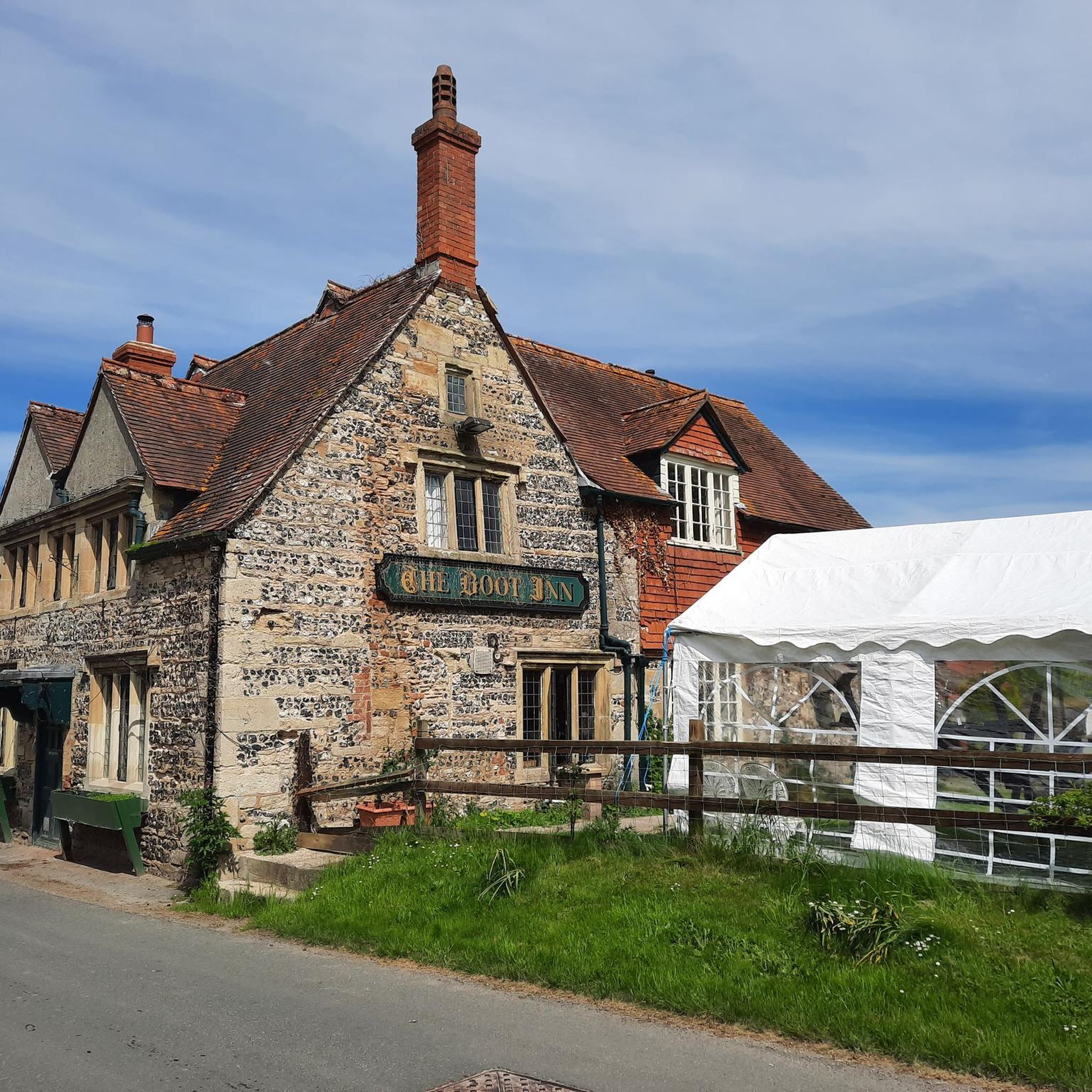
Other adventures around Berwick St. James

Tips from the Community

The Poultry Cross, often referred to as Salisbury Market Cross, is a medieval 14th-century market cross in the heart of Salisbury. It was originally part of the town's market facilities and marked the area of the poultry market. It is the only one of the city's four historic market crosses to have survived to this day.
1
0


Can someone please be happy/laughing with me that Google Translate turns Amy's "henge and timber monument" into "Denkmal für Hühner 🐔" in German? - Great 😂😂😂
0
0

Pro Tip: Salisbury Navigation — Start Smart, Finish Smarter Salisbury is a natural waypoint on the King Alfred’s Way — a scenic and historic city, but also a maze for a tired bikepacker. Here’s how to avoid the common pitfalls: 🧭 Navigation Hazards: The city layout can be disorienting after a long day in the saddle, especially with phone fatigue, low battery, or GPS signal issues. Preload your route offline and drop a pin at your parking location or train station before rolling out. 📱 Backup Nav: Bring a secondary form of navigation — a small power bank, a basic GPS unit, or even a paper map. If you’re relying on your phone, make sure screen timeouts and lockouts won’t leave you stranded (ask me how I know…). 📦 Start/End Point Logistics: If parking in Salisbury, choose a well-marked car park close to a landmark or note the street name. Trusting “Find My Parked Car” or memory alone can lead to a post-ride goose chase. A hidden hero? An AirTag stashed in your car. 🚴♂️ Ride Timing: Salisbury is a great place to begin or end a leg — just be aware of city traffic and tourist footfall, especially near the cathedral. Early starts and twilight returns can ease your flow through town.
1
0


The Woodford has a number of enjoyable winding country roads that are relatively quiet and well-surfaced and offer beautiful views of the surrounding countryside.
1
0

Frequently Asked Questions
What kind of terrain and elevation can I expect on road cycling routes around Berwick St. James?
The road cycling routes around Berwick St. James primarily traverse the southern edge of Salisbury Plain, characterized by rolling hills and open vistas. You'll encounter chalk outcrops and downs, with the highest point in the parish reaching 166m. Routes often feature well-paved surfaces through picturesque riverside areas along the River Till and extensive agricultural land. Elevation gains vary, with moderate routes typically featuring around 370-450 meters of ascent.
Are there road cycling routes suitable for beginners or those seeking an easier ride?
Yes, there are routes suitable for various fitness levels. For an easier ride, consider the The Royal Oak, Great Wishford – Coffee Darling Café loop from Wylye. This route is 25.9 km long with an elevation gain of about 135 meters, making it a good option for a more relaxed cycling experience.
What historical sites or natural landmarks can I see while road cycling near Berwick St. James?
The area is rich in historical and natural landmarks. Many routes pass close to significant sites such as Stonehenge and Woodhenge. You might also encounter the impressive Old Sarum Ruins, the site of Salisbury's original settlement, or ancient Sarsen stones within the village itself.
What do other road cyclists enjoy most about cycling in Berwick St. James?
The road cycling routes around Berwick St. James are highly rated by the komoot community, with an average score of 4.8 stars from over 50 reviews. Cyclists frequently praise the scenic Wiltshire countryside, the blend of historical sites with tranquil agricultural landscapes, and the variety of routes that cater to different abilities.
Are there any circular road cycling routes available?
Yes, many of the road cycling routes in the area are designed as loops, offering a convenient way to explore without retracing your path. Examples include Woodhenge – The Bridge Inn loop from Appleford School and The Royal Oak, Great Wishford – The Carriers Arms loop from Appleford School, both popular circular options.
What are some longer or more challenging road cycling routes in the Berwick St. James area?
For a more challenging ride, consider routes that cover greater distances and elevation. The Woodhenge – The Bridge Inn loop from Appleford School is a moderate 52.8 km route with over 450 meters of elevation gain. Another good option is The Royal Oak, Great Wishford – The Carriers Arms loop from Appleford School, which is 54.3 km long and features around 376 meters of ascent.
Are there any specific routes that pass by Salisbury Cathedral?
Yes, the Salisbury Cathedral – Lower Woodford Tree-Lined Road loop from Steeple Langford is a notable route that leads through river valleys and past historical landmarks, including Salisbury Cathedral. This route is 42.9 km long and takes approximately 1 hour 52 minutes to complete.
What is the best time of year for road cycling around Berwick St. James?
The Wiltshire countryside around Berwick St. James is beautiful year-round. Spring and summer offer pleasant temperatures and lush scenery, while autumn brings vibrant colors. Always check local weather forecasts before heading out, as conditions on Salisbury Plain can change.
Are there any routes that explore the Cranborne Chase area?
Yes, you can explore parts of the Cranborne Chase area on routes like the Forest Road in Cranborne Chase – Wylye Valley Quiet Road loop from Wylye. This route is 48.3 km long with over 400 meters of elevation gain, offering a scenic ride through varied landscapes.
How many road cycling routes are available in the Berwick St. James area?
There are over 90 road cycling routes available around Berwick St. James, catering to a wide range of abilities. This includes 35 easy routes, 58 moderate routes, and a few more challenging options, ensuring there's something for every cyclist.
What are the typical distances and durations for road cycling routes here?
Routes vary significantly in length and duration. You can find shorter rides, such as the 25.9 km The Royal Oak, Great Wishford – Coffee Darling Café loop from Wylye, which takes about 1 hour. Longer routes, like the 54.3 km The Royal Oak, Great Wishford – The Carriers Arms loop from Appleford School, can take around 2 hours 15 minutes or more, depending on your pace.
Most popular attractions around Berwick St. James

Get inspired with the komoot mobile app


Explore more
Browse the best Road cycling routes in other regions.
