The best cycling routes around Étang d'Izourt
4.8
(11)
905
riders
10
rides
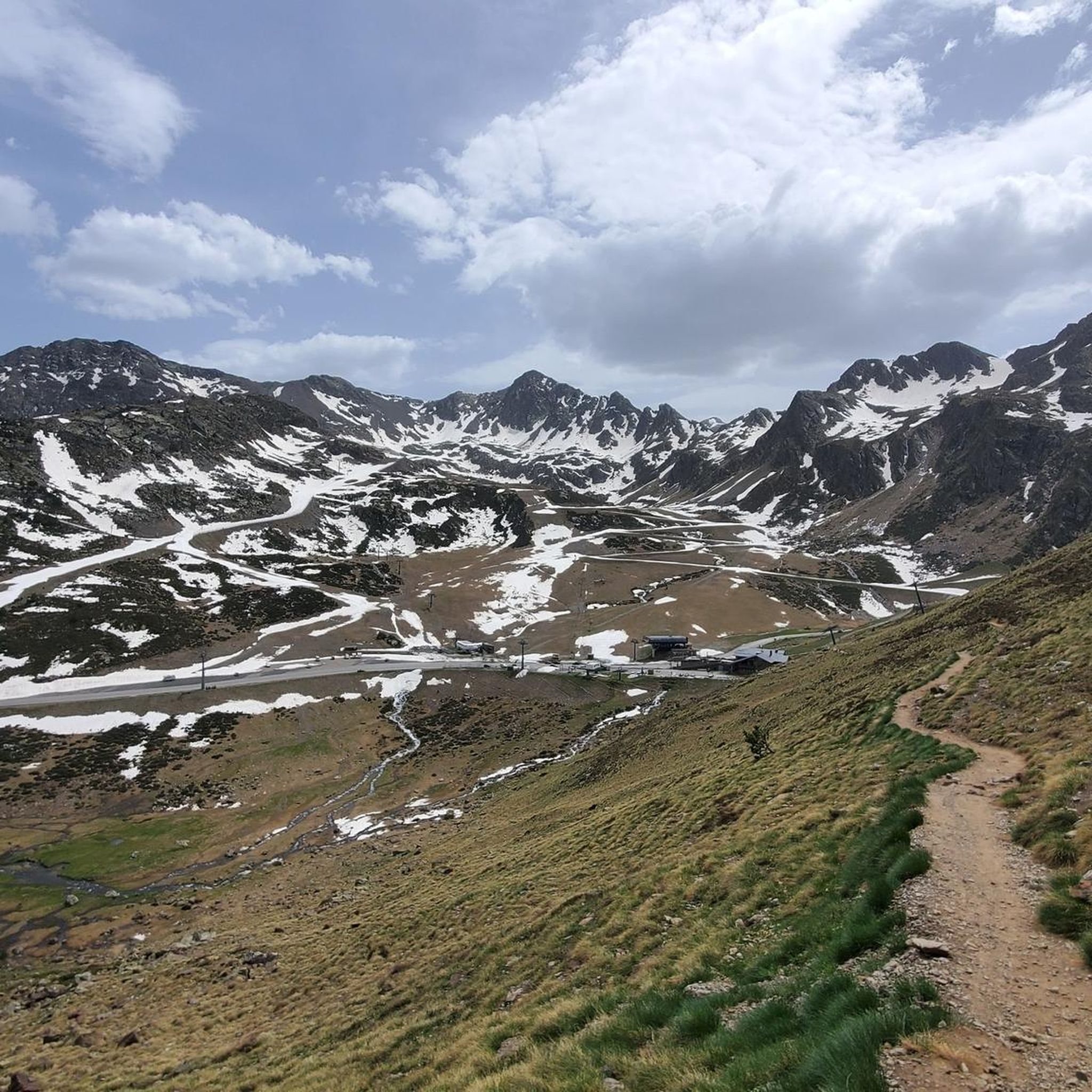
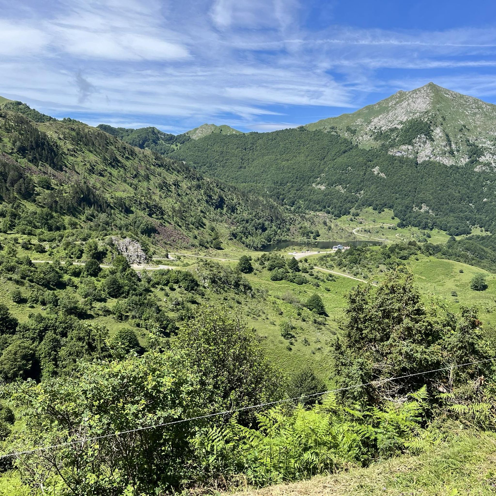
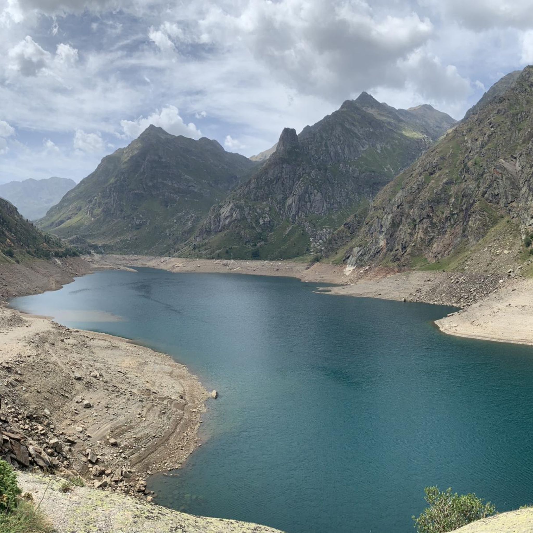
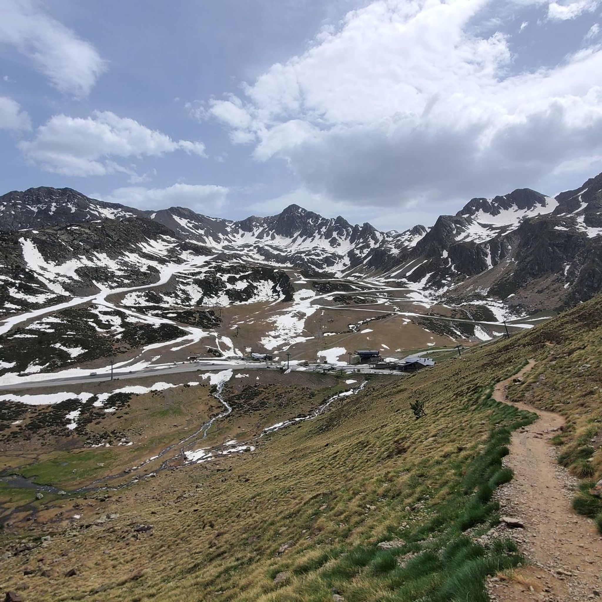
Touring cycling around Étang d'Izourt offers routes within the high Vicdessos valley of the French Pyrenees, situated in the Ariège department. The area features the emerald green waters of Étang d'Izourt, an artificial reservoir lake, surrounded by majestic peaks such as Pic de Tristagne and Pic de l'Étang Fourcat. Routes traverse varied terrain, including lush forests of hazel, beech, birch, and alder, alongside picturesque streams and higher rocky, high-mountain landscapes, often involving significant climbs.
Best touring cycling routes around Étang…
Last updated: July 1, 2026
14
riders
9.48km
00:56
380m
390m
Moderate bike ride. Good fitness required. Mostly paved surfaces. Suitable for all skill levels.
5
riders
5.81km
00:36
150m
150m
Moderate bike ride. Good fitness required. Mostly paved surfaces. Suitable for all skill levels.

Sign up for free
12
riders
13.4km
01:29
530m
530m
Hard bike ride. Very good fitness required. Mostly paved surfaces. Suitable for all skill levels.
12
riders
9.25km
00:47
290m
280m
Moderate bike ride. Good fitness required. Mostly paved surfaces. Suitable for all skill levels.
5.0
(1)
57
riders
50.2km
03:49
1,260m
1,260m
Hard bike ride. Very good fitness required. Mostly paved surfaces. Suitable for all skill levels.
Get access to more routes and recommendations from other explorers.
Sign up for free
Already have an account?
Our route recommendations are based on thousands of hikes, rides, and runs completed by other people on komoot.
Start today with a free account
Your next adventure awaits.
Login or Signup


Other adventures around Étang d'Izourt

Tips from the Community

It is a MUST of the Pyrenees, without a doubt, that should be included in any route that crosses the Pyrenees from side to side. Any of its slopes 2 is spectacular and tough. The views from its summit are wonderful, feeling the wild side of the Pyrenees. Of course, once at the summit of this pass... you have to descend to the Étang de Lers and enjoy a quiet rest on the shores of the lake. It is a pass that has been part of the Tour de France route on several occasions, although always far from the finish line. The first professional rider to crest it in the lead was the unforgettable Marco Pantani in 1995.
0
0

I liked the climb from the north side (from Massat), very scenic and alpine landscapes towards the end at the étang de Lers
0
0

Porta Estellar, or Arcalìs 91, also known as the "O" of Ordino, in reference to the name of the Parish. It is the work of the Italian Mario Staccioli.
0
0
Traditional refuge of Pyrenean shepherds, close relative of the Sardinian nuraghes and the Apulian trulli.
0
0

It is one of the highest points accessible by mountain bike (MTB) and eBike in Andorra. It is a popular destination among cyclists due to its spectacular surroundings and the challenges offered by the climb. The starting point at the Ordino Arcalís ski resort to the summit of Les Portelles covers approximately 7.5 kilometers. The cumulative elevation gain is significant, reaching 700 meters of vertical ascent from the base of the resort to the summit of Les Portelles, which is located at about 2,560 meters above sea level. The terrain is varied, combining asphalt sections in the initial parts with dirt and gravel tracks as you ascend. In some places, the terrain becomes more technical, especially near the summit, where rocks and the incline add difficulty. The climb is considered high difficulty due to the elevation gain and terrain conditions. It is a demanding route for both MTB cyclists and eBike users, who will enjoy the additional challenge offered by the altitude and the changing conditions of the high mountain climate.
0
0
Arcalís 91, also known as The Ring of Ordino, is a steel sculpture created by Italian artist Mauro Staccioli in 1991. Located in the Ordino Arcalís ski resort in Andorra, the sculpture is a giant ring that symbolizes perfection and eternity. It is strategically placed to frame the surrounding mountain landscape, creating a stunning visual effect. The work represents the opposition between natural law and human law, highlighting the contrast between the simplicity of the ring and the complexity of the nature that surrounds it.
1
0

The ski resort becomes a paradise for adventurers in summer. The climb became famous thanks to the Tour de France. There are many trails to explore beyond this point on the ridges and peaks surrounding the ski resort.
2
0
A huge steel ring, near the Arcalís ski resort next to the sculpture by Mauro Staccioli. Representing the contracts between the stunning view of nature and the majesty of what humans can achieve.
1
0
Frequently Asked Questions
How many touring cycling routes are available around Étang d'Izourt?
There are 13 touring cycling routes around Étang d'Izourt, offering a mix of moderate and difficult options for touring cyclists.
What kind of terrain can I expect on touring cycling routes in Étang d'Izourt?
The routes around Étang d'Izourt traverse diverse landscapes, from lush forests and picturesque streams to higher, rocky, high-mountain terrain. You should expect significant climbs, typical of the Pyrenees, with winding roads and varied surfaces.
Are there any circular touring cycling routes in the Étang d'Izourt area?
Yes, there are several circular routes. For example, the Valle de Arcalís y Río Tristania — circular is a moderate 9.5 km loop offering views of the high-mountain environment. Another option is the Coma d'Arcalís loop from El Serrat, which is 8.5 km long and leads through varied high-mountain terrain.
What are some of the natural features or landmarks I might see while cycling around Étang d'Izourt?
The most striking feature is the emerald green and turquoise waters of Étang d'Izourt itself, a reservoir lake surrounded by majestic peaks like Pic de Tristagne and Pic de l'Étang Fourcat. You'll also encounter lush forests, picturesque streams, and potentially cascades along the way.
Are there any routes suitable for beginners or those looking for an easier touring cycling experience?
While the region is characterized by mountainous terrain and significant climbs, there are moderate routes available. For instance, the Ordino-Arcalís Climb is a moderate 5.8 km path that provides scenic ascents without being overly long, making it a good option for those building experience.
What is the best time of year for touring cycling in Étang d'Izourt?
Given the high-mountain environment, the best time for touring cycling is typically during the warmer months, from late spring to early autumn. This avoids snow-capped summits and ensures more favorable weather conditions for cycling in the Pyrenees.
What do other touring cyclists enjoy most about cycling in Étang d'Izourt?
The area is highly rated by the komoot community, with an average score of 5.0 stars. Reviewers often praise the stunning high-mountain environment, the emerald green waters of the lake, and the challenging yet rewarding climbs through varied terrain.
Are there any longer or more challenging touring cycling routes for experienced riders?
Yes, for experienced riders seeking a challenge, the Coma d'Arcalís – Arcalís Summit (2,229 m) loop from Ordino-Arcalís is a difficult 15.2 km route with over 500 meters of elevation gain, offering panoramic views from the summit.
Can I find places to eat or stay near the touring cycling routes?
While specific cafes or accommodations are not detailed for every route, the region around Étang d'Izourt, particularly in the Vicdessos valley, offers small villages where you may find amenities. There is also a non-guarded refuge near the dam with basic facilities for hikers and cyclists.
Is touring cycling around Étang d'Izourt suitable for families?
The region's routes are generally characterized by high-mountain terrain and significant climbs, making many of them more suitable for experienced cyclists. However, some moderate routes might be manageable for families with older children who are accustomed to cycling in hilly areas. Always check the route's difficulty and elevation profile before setting out.
Are there any historical points of interest along the cycling routes?
Yes, the area has historical significance related to the construction of the Étang d'Izourt dam. Along some trails, particularly the 'Chemin de la Mémoire,' you can find remnants of old construction buildings, pylons, and commemorative panels related to the dam's history. There's also a commemorative plaque for the GR10's use during World War II.
What are the typical elevation changes on touring cycling routes in this area?
Given the high-mountain environment of the French Pyrenees, you can expect significant elevation changes. For example, routes like the Valle de Arcalís y Río Tristania — circular involve around 380 meters of ascent, while more difficult routes can feature over 500 meters of climbing.
Most popular routes around Étang d'Izourt

Get inspired with the komoot mobile app


Explore more
Browse the best Cycling routes in other regions.
